Elevation of Gabriel Rd, Erath, LA, USA
Location: United States > Louisiana > Vermilion Parish > >
Longitude: -92.029181
Latitude: 29.9809684
Elevation: 2m / 7feet
Barometric Pressure: 101KPa
Elevation Map:
Satellite Map:
Related Photos:

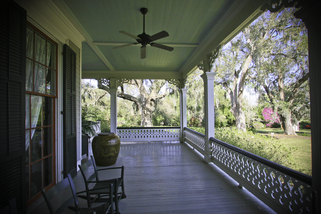
Barbed With A View

water view sooc

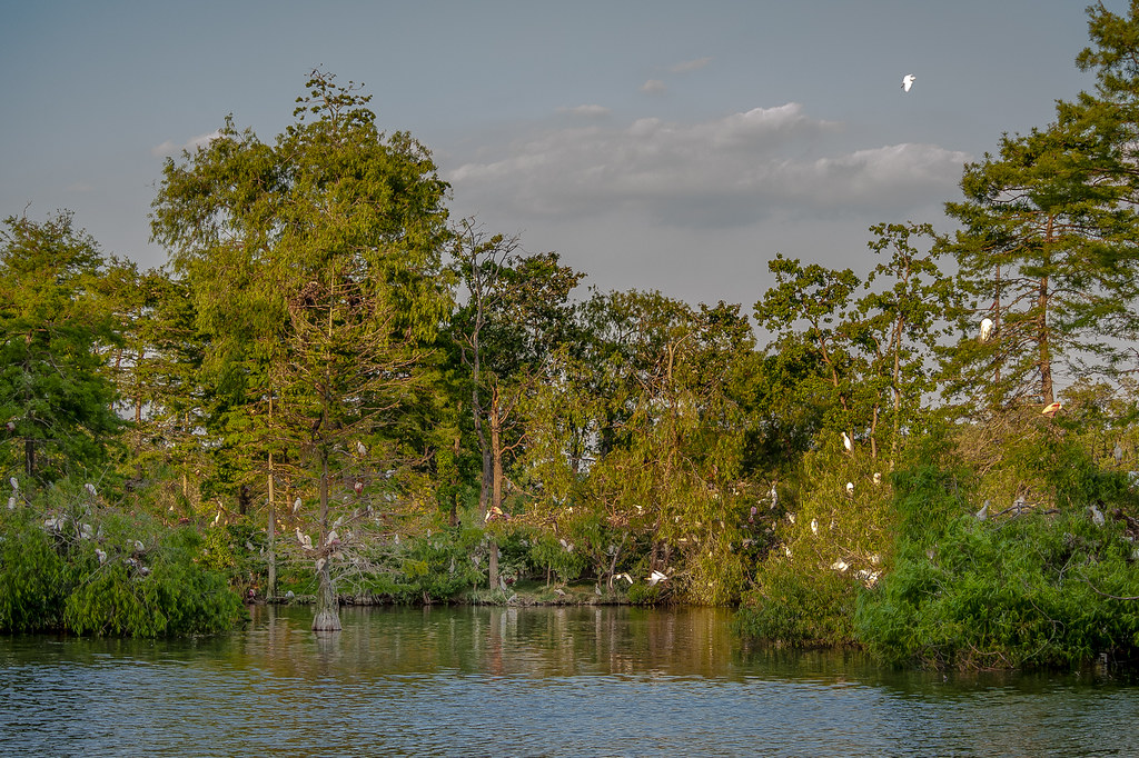
IMG_3213 Bird City - Avery Island Egret colony
IMG_3889-3
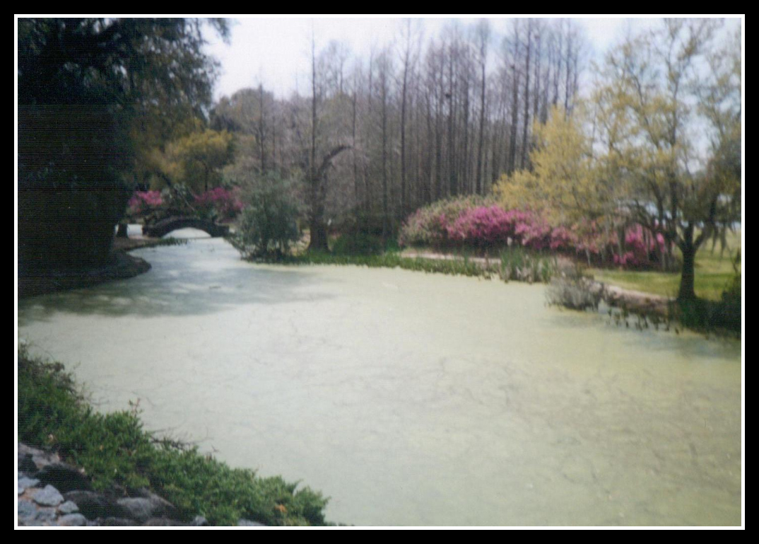
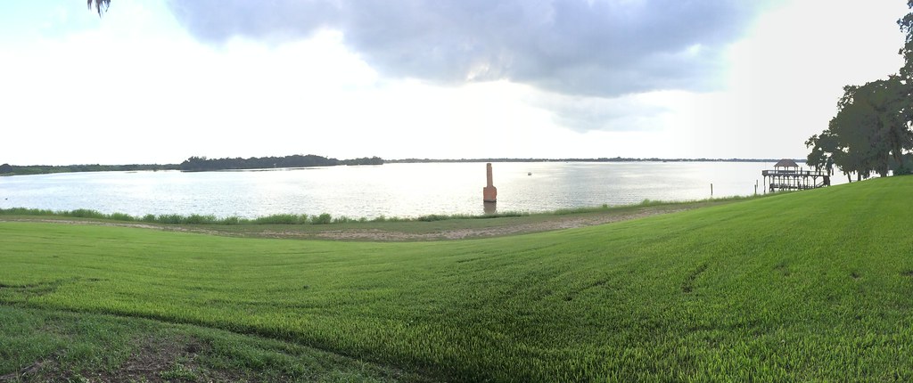
View Across the Pond
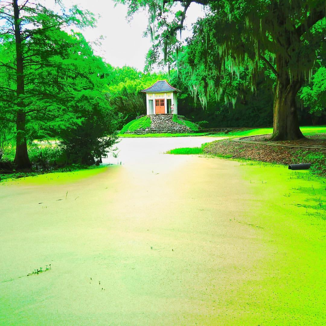
Jungle Gardens
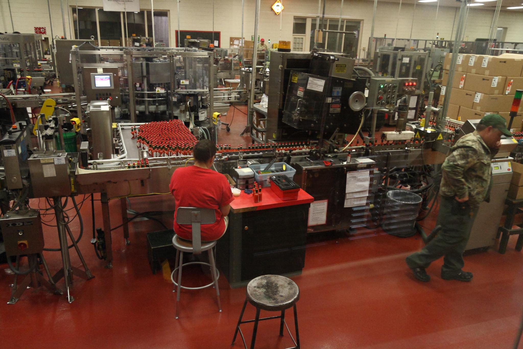
Bottling Line Floor
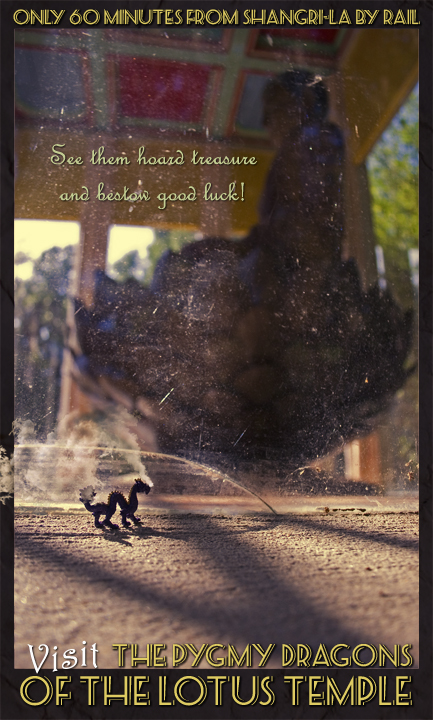
Visit the Pygmy Dragons of the Lotus Temple

Abbeville Park
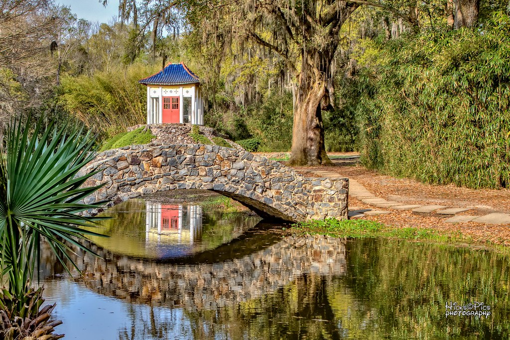
On Avery Island in the Jungle Gardens, there is a rock bridge that has a buddha temple with a statue inside overlooking the area. ⠀ ⠀ ???? This is the view from that rock bridge where I proposed to @kristafourn 12 years ago! 11 years ago to

Louisiana Story Historic Marker, Abbeville, LA
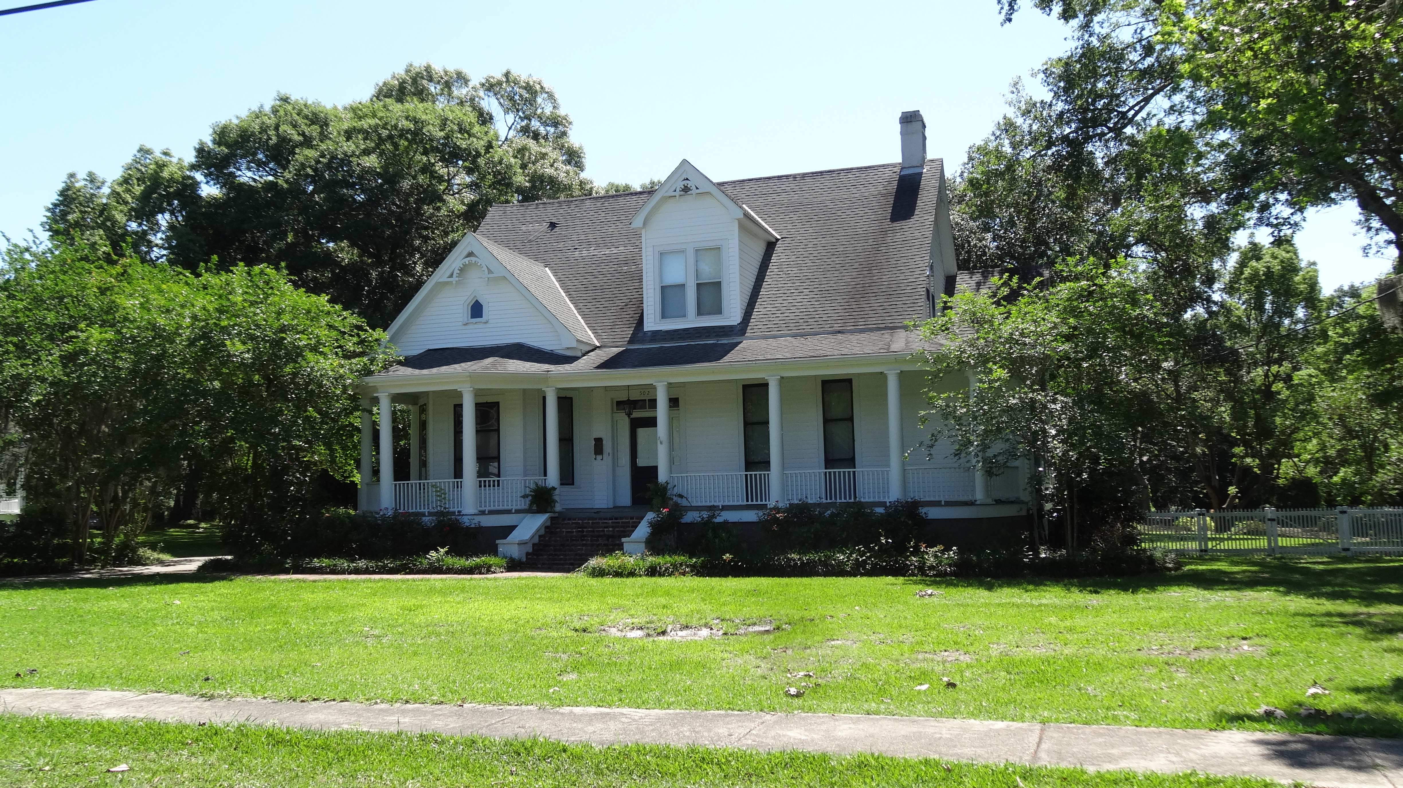
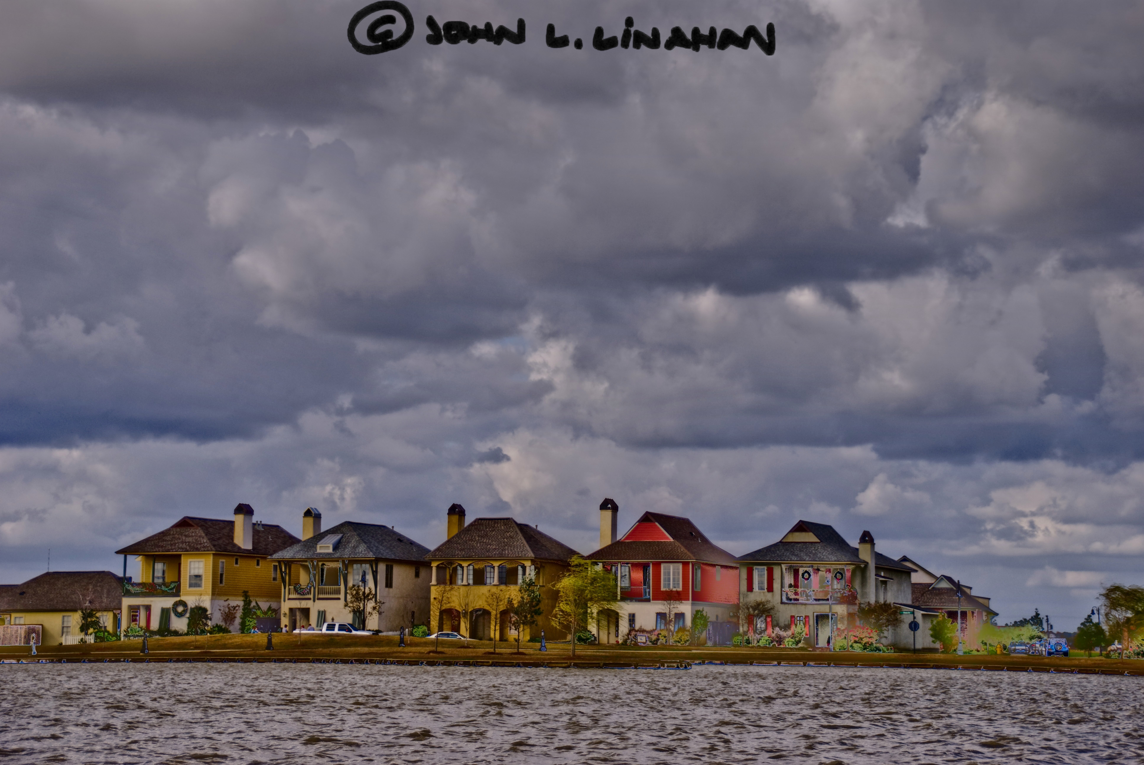
Abbeville, LA
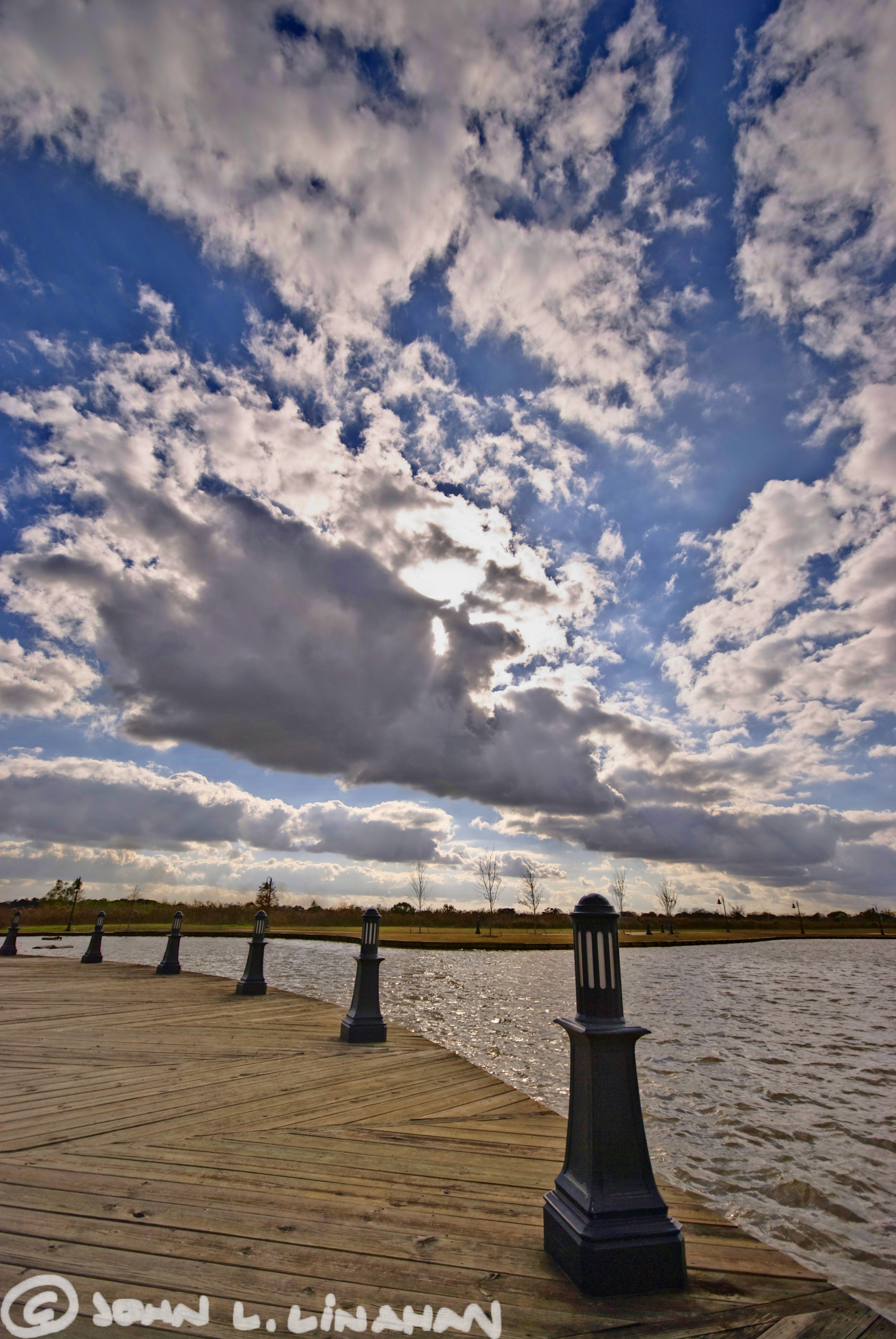
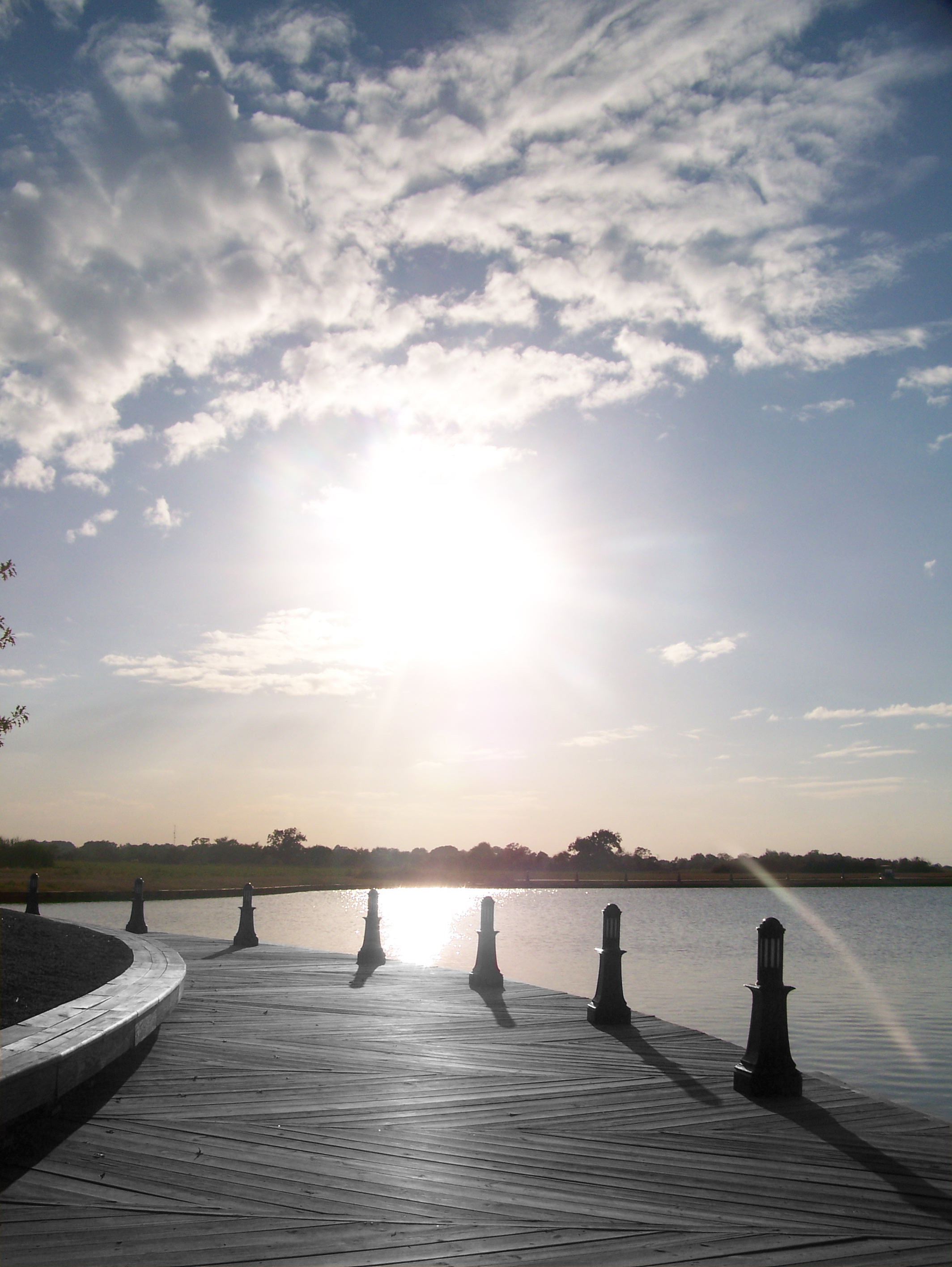
On the Boardwalk
Buddah Shrine
JeffersonIsland-71.jpg
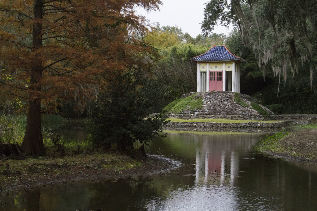
Avery Island Buddha Temple - ::: Explored 20141204 :::
JeffersonIsland-22.jpg
JeffersonIsland-2.jpg
Sugar Mill Pond
Something Green IMG_5591t

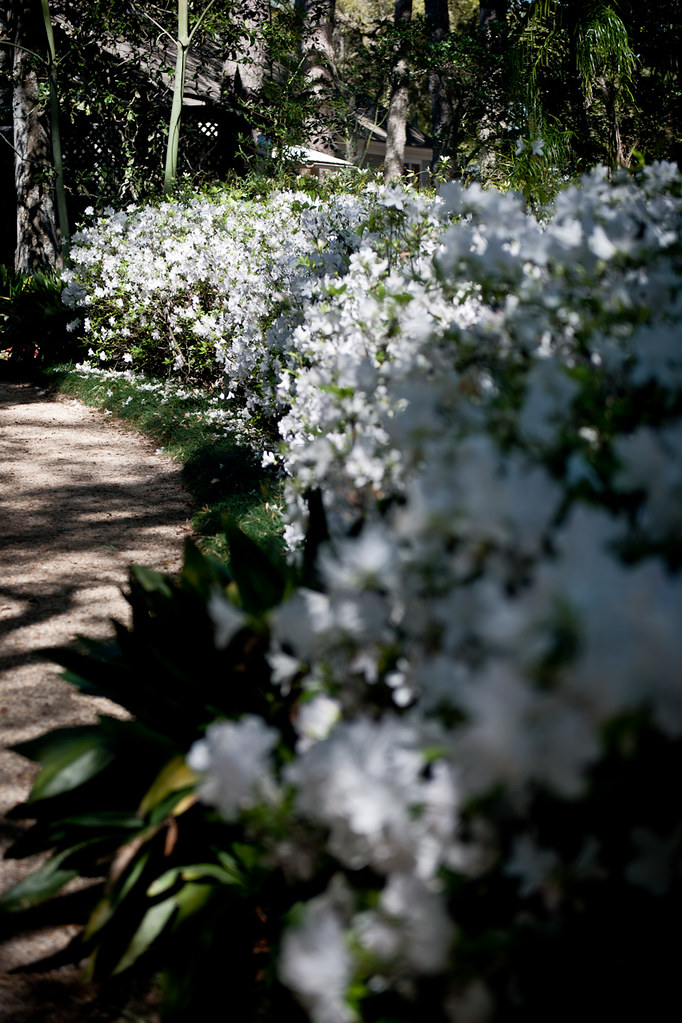
into the bamboo
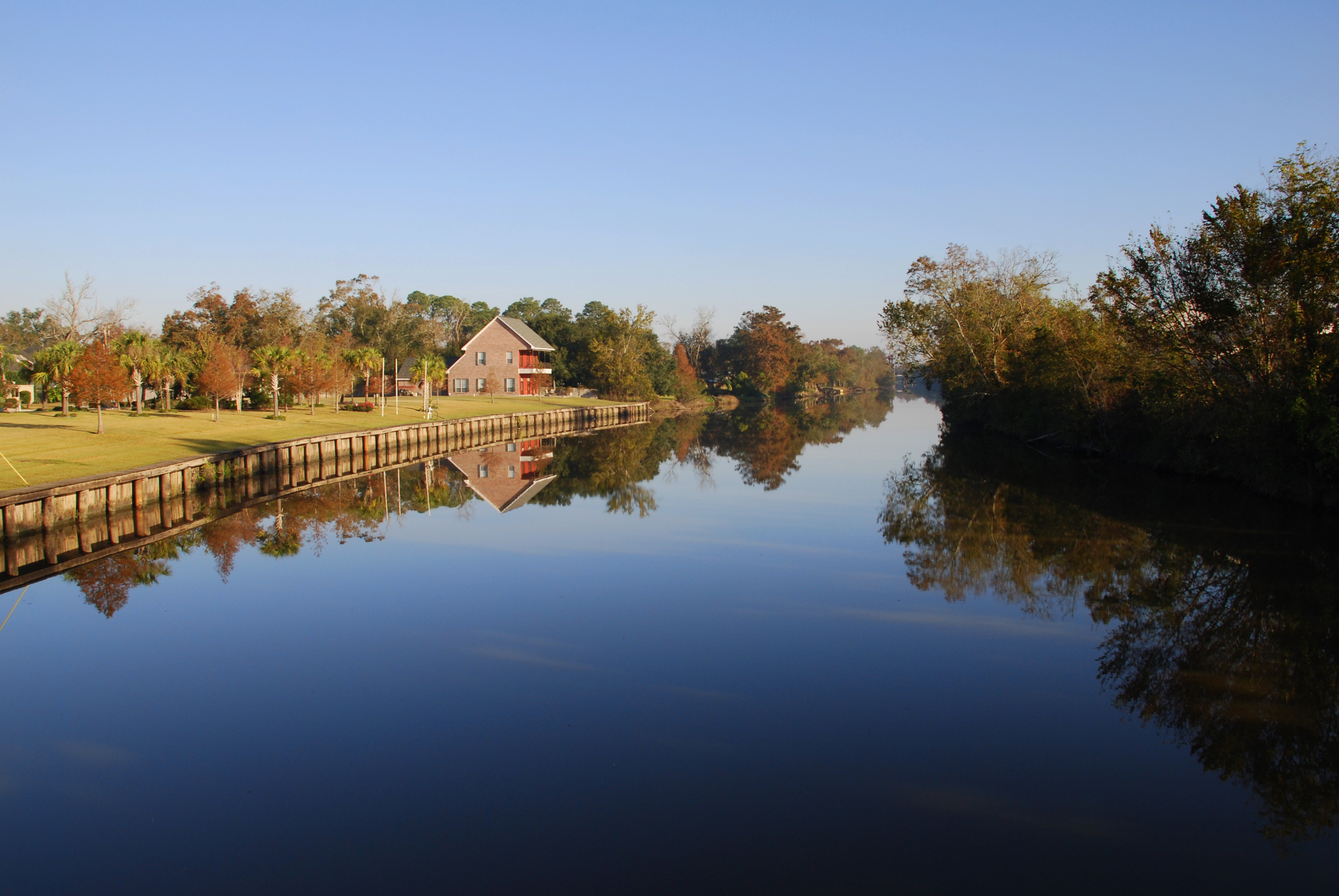
Vermilion River Reflections
Camera Roll-34

Sugar Mill Pond
Vermilion River Reflections

Cajun Sunset
Plant 14 Feb 13 - Avery Island, LA
Sugar Mill Pond
Chicago (July 2012)
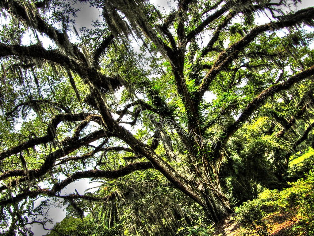
Rookery Landscape
Camera Roll-31
Topographic Map of Gabriel Rd, Erath, LA, USA
Find elevation by address:

Places near Gabriel Rd, Erath, LA, USA:
Highway 14 East
13019 Ollie Rd
Erath
1828 Robert Rd
610 W Lastie St
610 W Lastie St
1009 S Broadway St
3, LA, USA
13432 La-89
5511 La-338
6420 La-338
6420 La-338
14715 Jude Rd
6, LA, USA
404 Kin Dr
Delcambre
1442 Jefferson Island Rd
9330 La-82
9330 La-82
9330 La-82
Recent Searches:
- Elevation of Corso Fratelli Cairoli, 35, Macerata MC, Italy
- Elevation of Tallevast Rd, Sarasota, FL, USA
- Elevation of 4th St E, Sonoma, CA, USA
- Elevation of Black Hollow Rd, Pennsdale, PA, USA
- Elevation of Oakland Ave, Williamsport, PA, USA
- Elevation of Pedrógão Grande, Portugal
- Elevation of Klee Dr, Martinsburg, WV, USA
- Elevation of Via Roma, Pieranica CR, Italy
- Elevation of Tavkvetili Mountain, Georgia
- Elevation of Hartfords Bluff Cir, Mt Pleasant, SC, USA