Elevation of Highfill, AR, USA
Location: United States > Arkansas > Benton County > Township 13 >
Longitude: -94.357710
Latitude: 36.2614675
Elevation: 410m / 1345feet
Barometric Pressure: 96KPa
Elevation Map:
Satellite Map:
Related Photos:

KCS SD70MAC-3938 S/B at Gentry, AR.
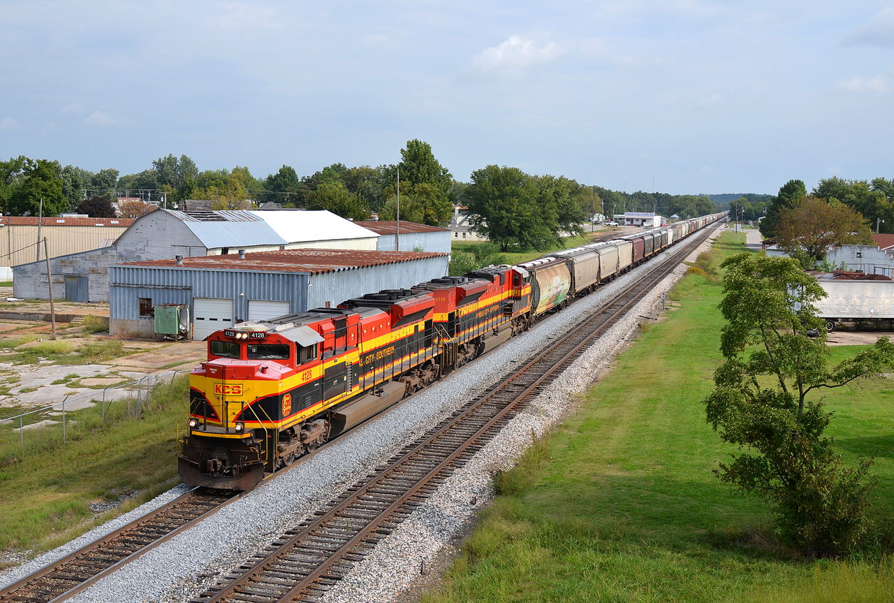
KCS SD70ACe-4128, 4118 S/B at Gentry, AR.

2012 Freestyle

Mutton Busting
View from the top

Will A Baby Kangaroo Eat Bread?

Kissed by a Roo
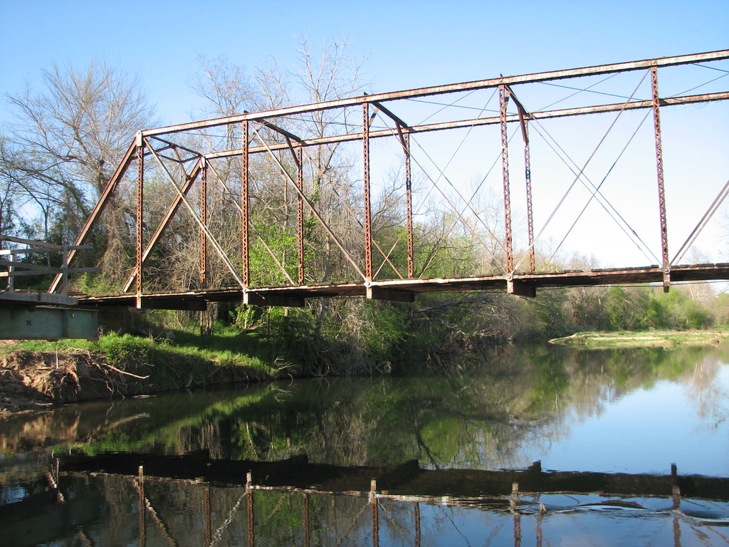
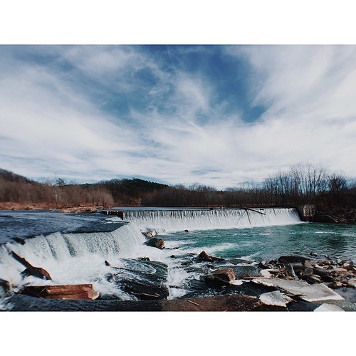
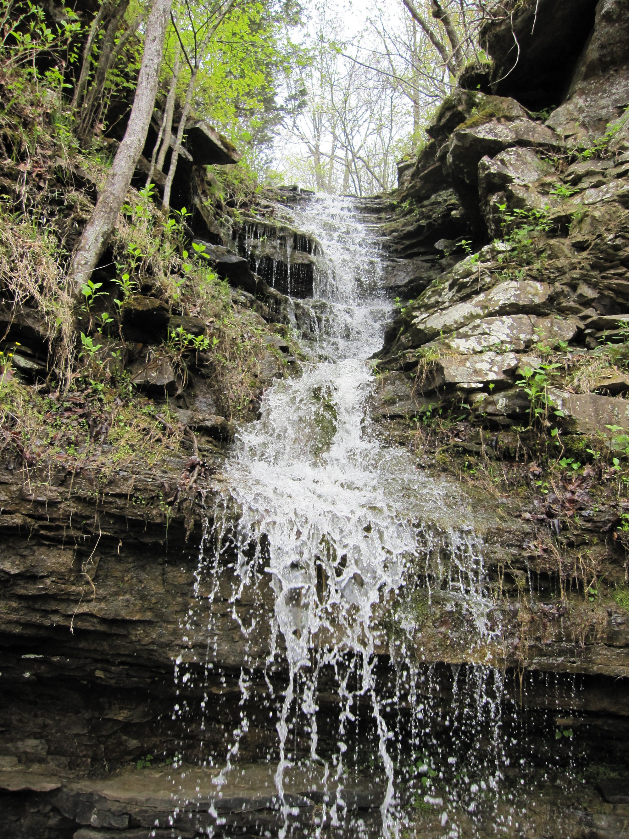
Osage Creek Bridge-Side View
Sky Shot

2012 Freestyle

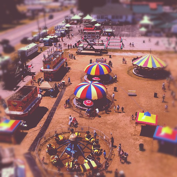
24.Bird's eye view

Shadow Valley

41.Spaceman reflections
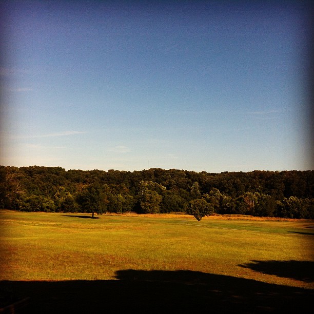
It was a nice day out today

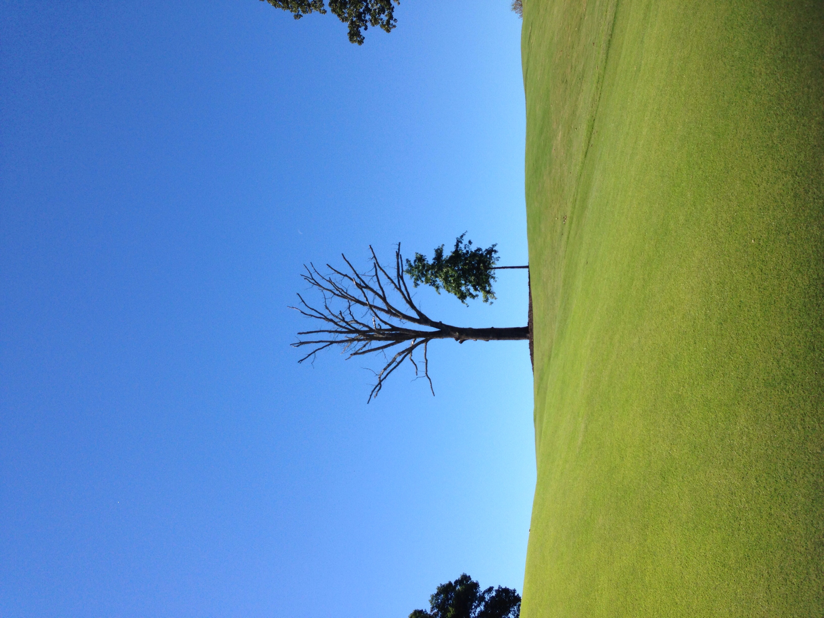
17th hole - moss on tree near the creek.
Lazy daze in Arkansas.
Shot through the Heart

Landscape in sepia
AR365 Day120
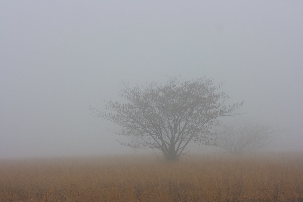
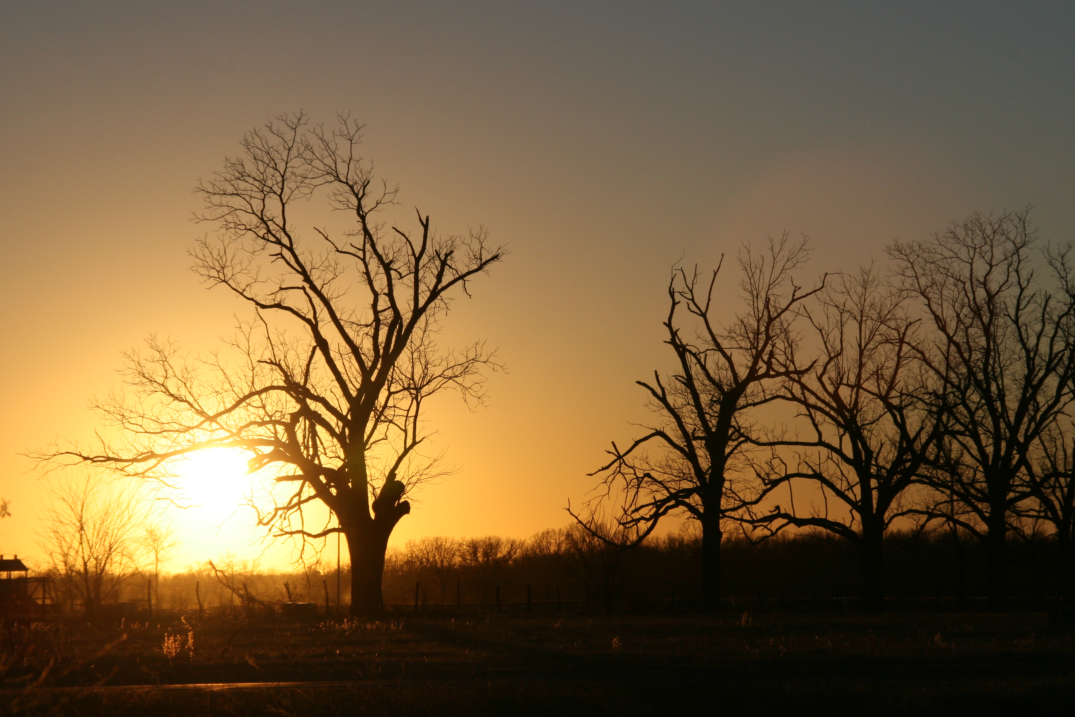
01-22-10a: Through the Fog
20090417-IMG_0136

Champagne Supernova
Hole #15 - Shadow Valley Golf Course

136.Bird on a wire

Ar Homsead.jpg
One more time... I'm over it!

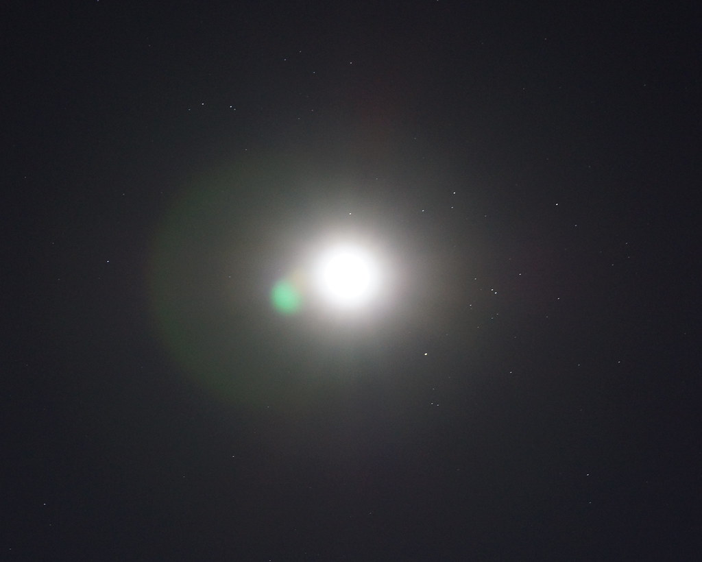
Eye on the Sky

Proud, Protective Dad
20090417-IMG_0134

20090417-IMG_0135

Jacob Sheep

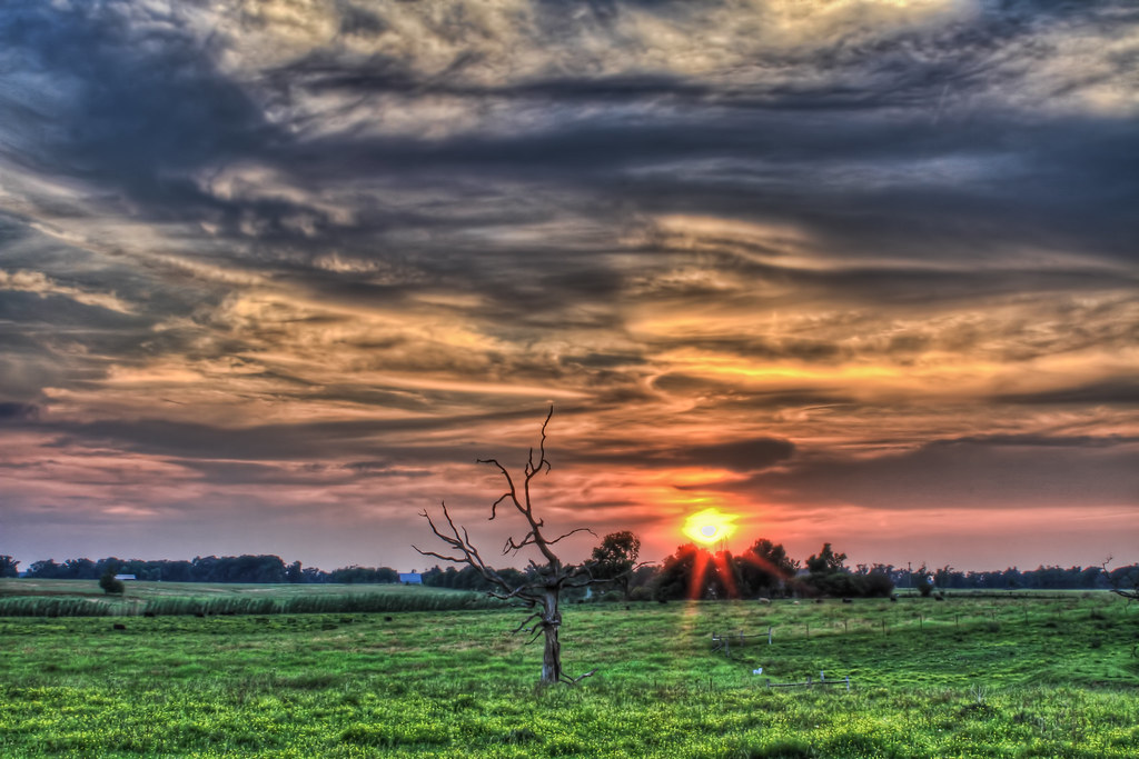
Setting sun
1.Sun sets on the first day

Hole #11 - sunshine amidst the trees. A pretty day.
Topographic Map of Highfill, AR, USA
Find elevation by address:

Places in Highfill, AR, USA:
Places near Highfill, AR, USA:
Rocky Comfort Rd, Gentry, AR, USA
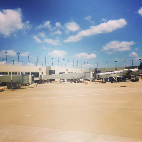
Northwest Arkansas Regional Airport
Delta Airlines
Springtown Main St, Gentry, AR, USA
Springtown
AR-, Bentonville, AR, USA
6201 Sw Bear Rd
11681 Mill Dam Ct
Providence Village
9913 Phillips Cemetery Rd
Ponderosa Street
Walmart Distribution Center
602 Quail Run
Main St, Centerton, AR, USA
Centerton
Benton County
Chinquapin Lane
Cave Springs
300 E Jo Ave
Gentry
Recent Searches:
- Elevation of Corso Fratelli Cairoli, 35, Macerata MC, Italy
- Elevation of Tallevast Rd, Sarasota, FL, USA
- Elevation of 4th St E, Sonoma, CA, USA
- Elevation of Black Hollow Rd, Pennsdale, PA, USA
- Elevation of Oakland Ave, Williamsport, PA, USA
- Elevation of Pedrógão Grande, Portugal
- Elevation of Klee Dr, Martinsburg, WV, USA
- Elevation of Via Roma, Pieranica CR, Italy
- Elevation of Tavkvetili Mountain, Georgia
- Elevation of Hartfords Bluff Cir, Mt Pleasant, SC, USA