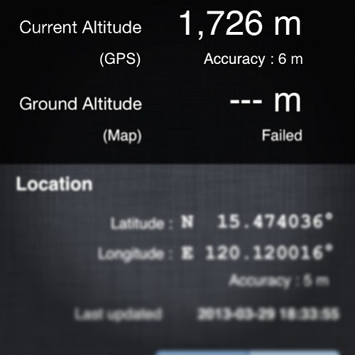
Elevation of High Peak, Palauig, Zambales, Philippines
Location: Philippines > Central Luzon > Zambales > Palauig >
Longitude: 120.120833
Latitude: 15.4816666
Elevation: 1559m / 5115feet
Barometric Pressure: 84KPa
Related Photos:
Topographic Map of High Peak, Palauig, Zambales, Philippines
Find elevation by address:

Places near High Peak, Palauig, Zambales, Philippines:
Mount Tapulao
Pangolingan
Bamban
Zambales
Masinloc
Masinloc
Burgos
Mayantoc
Santa Cruz
Mangatarem
Santa Ignacia
Don Mauricio Subdivision
Nambalan
Camiling
Tarlac Recreational Park
Sinigpit
Bayambang
Pugo
Bugallon
Pangasinan
Recent Searches:
- Elevation of Corso Fratelli Cairoli, 35, Macerata MC, Italy
- Elevation of Tallevast Rd, Sarasota, FL, USA
- Elevation of 4th St E, Sonoma, CA, USA
- Elevation of Black Hollow Rd, Pennsdale, PA, USA
- Elevation of Oakland Ave, Williamsport, PA, USA
- Elevation of Pedrógão Grande, Portugal
- Elevation of Klee Dr, Martinsburg, WV, USA
- Elevation of Via Roma, Pieranica CR, Italy
- Elevation of Tavkvetili Mountain, Georgia
- Elevation of Hartfords Bluff Cir, Mt Pleasant, SC, USA
