Elevation of Hidden Valley Rd, West Point, CA, USA
Location: United States > California > Calaveras County > West Point >
Longitude: -120.50886
Latitude: 38.412334
Elevation: 915m / 3002feet
Barometric Pressure: 91KPa
Elevation Map:
Satellite Map:
Related Photos:
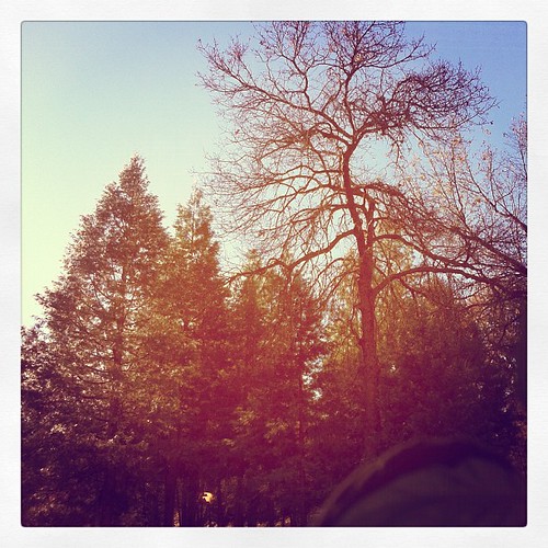
This is the view from my grandpa's front porch. I wouldn't mind waking up to this every morning. #photooftheday

Magic Shroom Beetle

Tahoe Forest - View across the canyon Omo Ranch Road
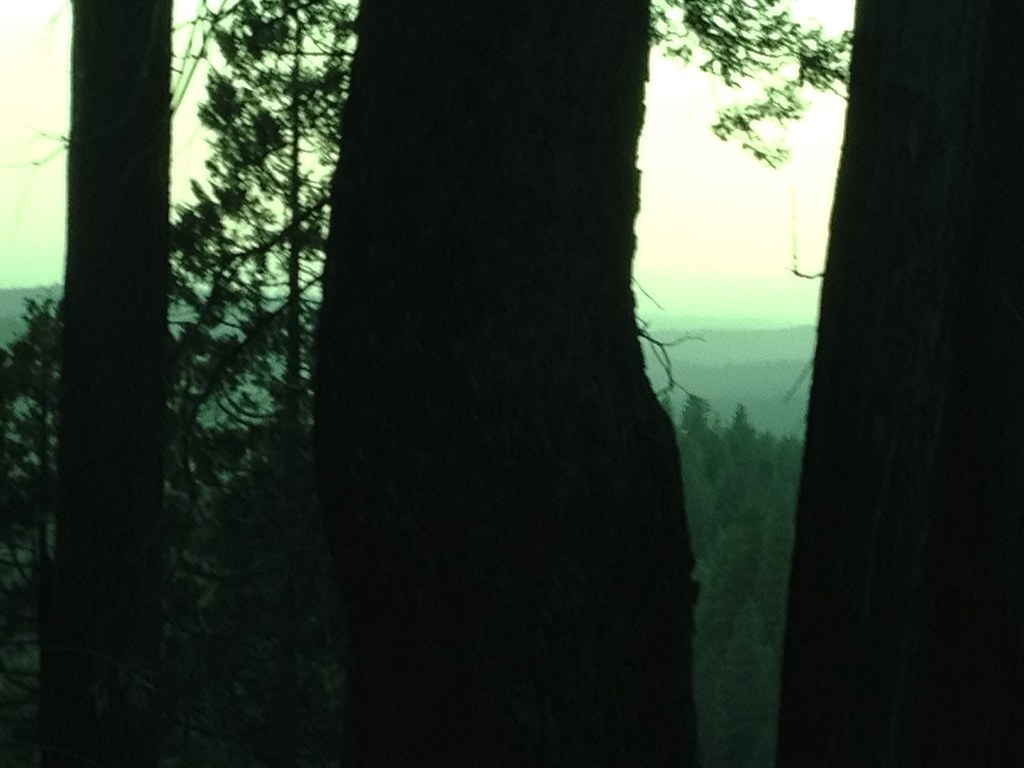
Tahoe Forest - View across the canyon Omo Ranch Road

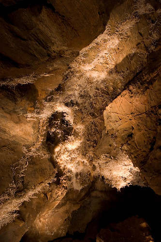
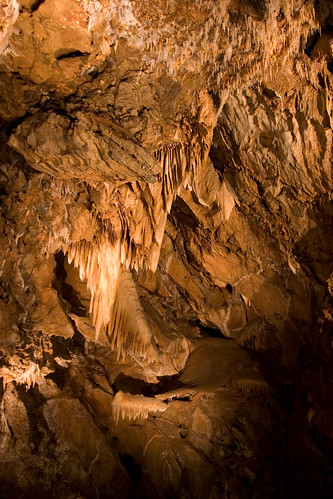
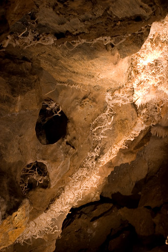
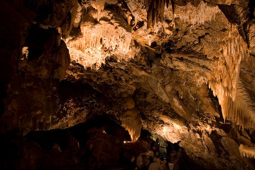
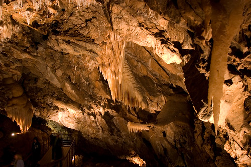
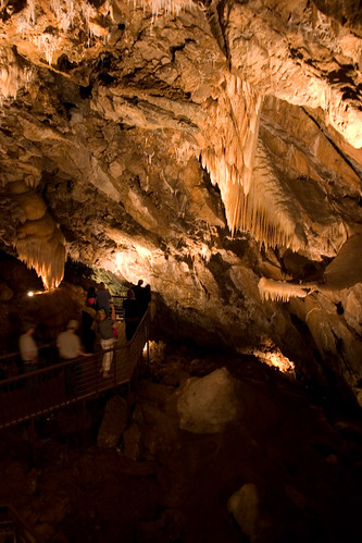
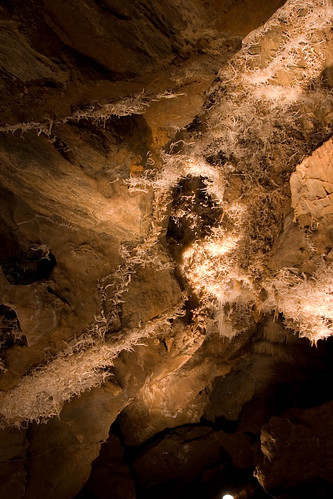
Black Chasm Cavern
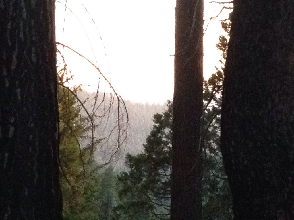
Tahoe Forest - View across the canyon Omo Ranch Road

Nice Mountain View 1
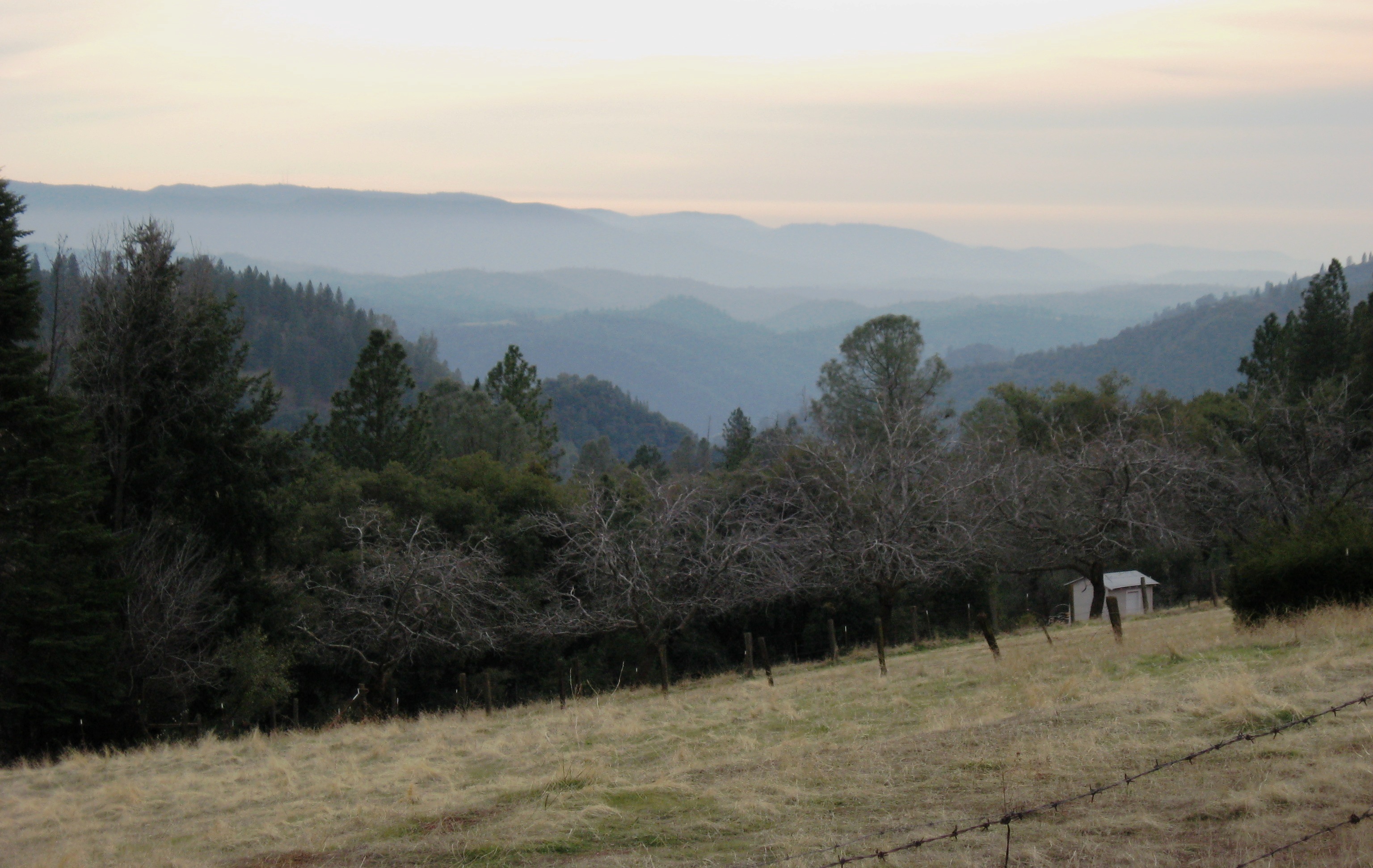
Nice View 2

View across the canyon from Omo Ranch Road

View from Omo Road - Tahoe National Forest
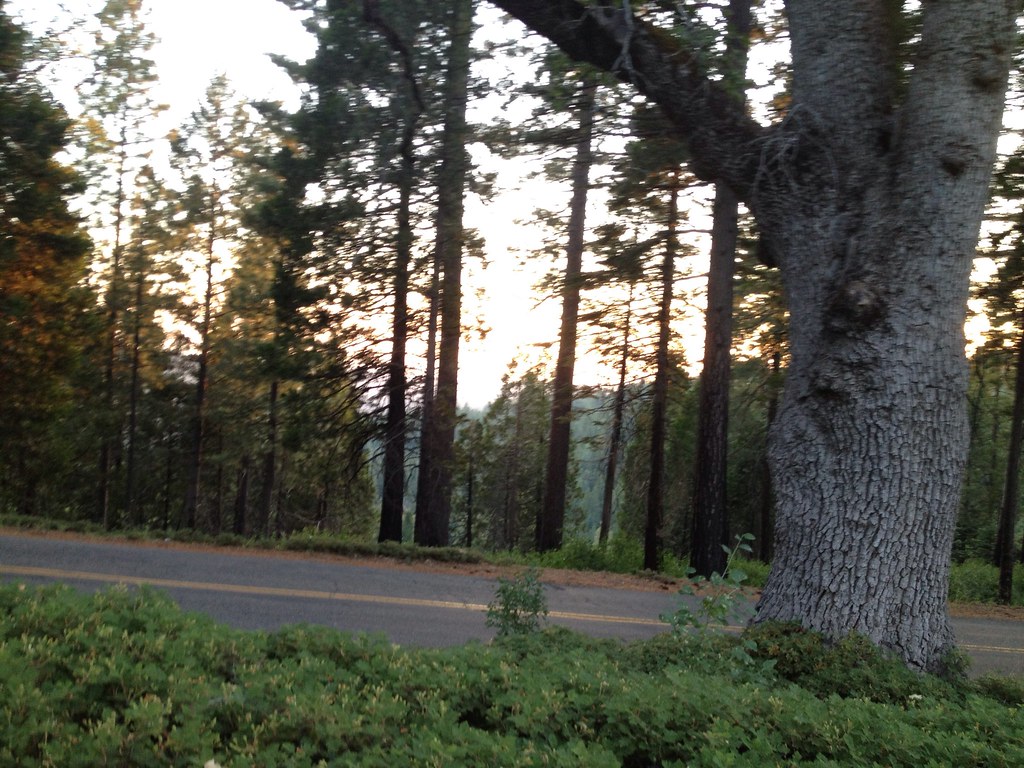
Tahoe Forest - View across the canyon Omo Ranch Road
Sylvan View from Bedroom
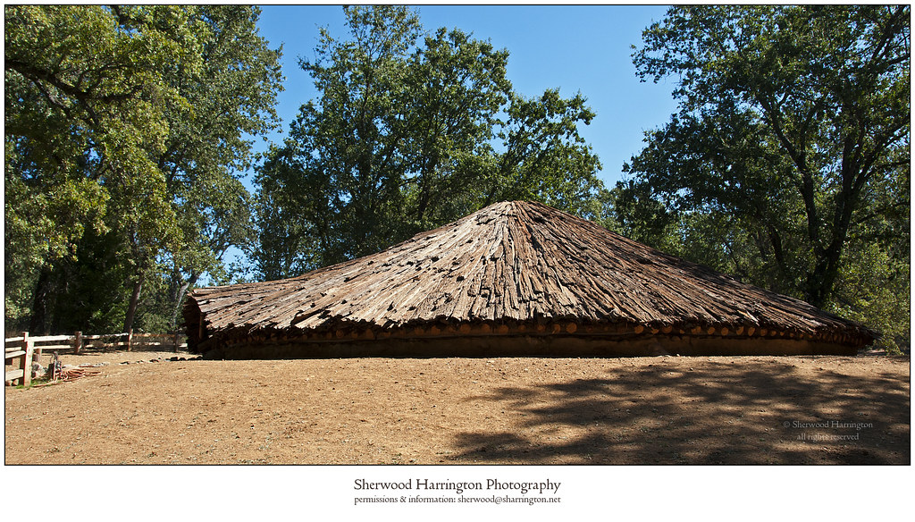
Miwok Ceremonial Roundhouse, 4 of 6

Miwok Ceremonial Roundhouse, 5 of 6
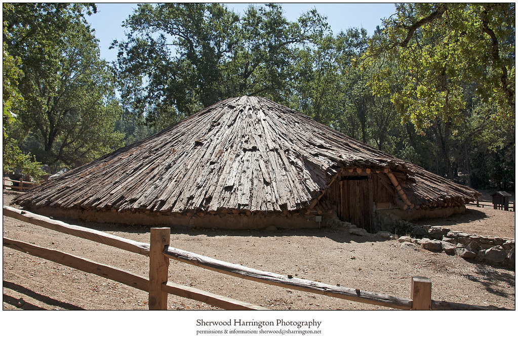
Miwok Ceremonial Roundhouse, 6 of 6
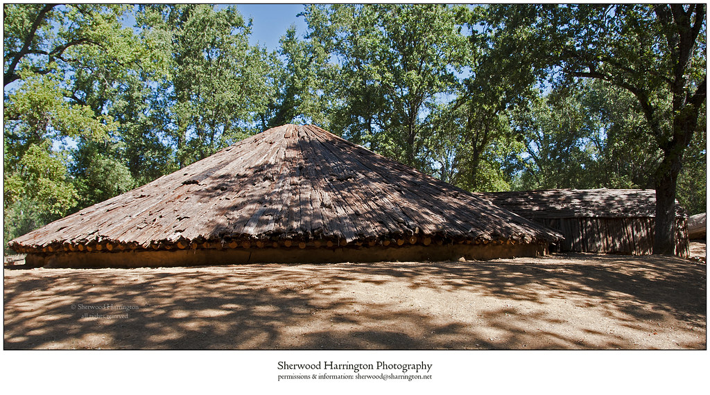
Miwok Ceremonial Roundhouse, 2 of 6

Tahoe Forest - View across the canyon Omo Ranch Road

St. Bernard's Church

Indian Grinding Rock

Nice View 3
CRW_7990-54
CRW_7967-42
CRW_7988-53
CRW_7961-38
CRW_7973-44

Camera Roll-1234
CRW_7924-15
CRW_7975-45
CRW_7956-34
CRW_7959-37
Camera Roll-1234

_8130126.NEF
CRW_8001-60
CRW_7991-55

_8130152.NEF
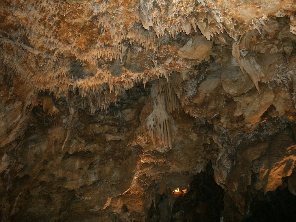
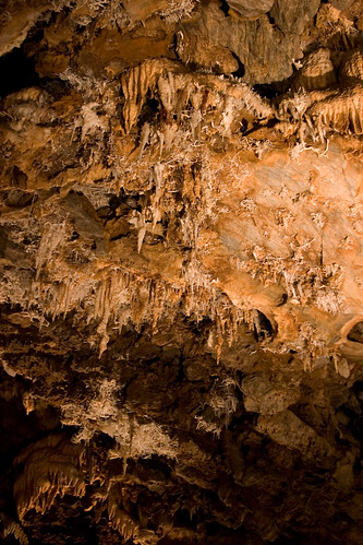
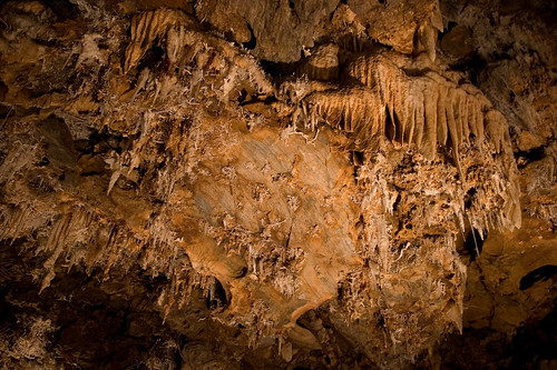
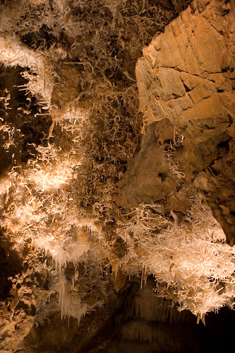
Black Chasm Caverns (35)

_8120109.NEF
CRW_7935-22

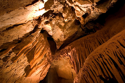
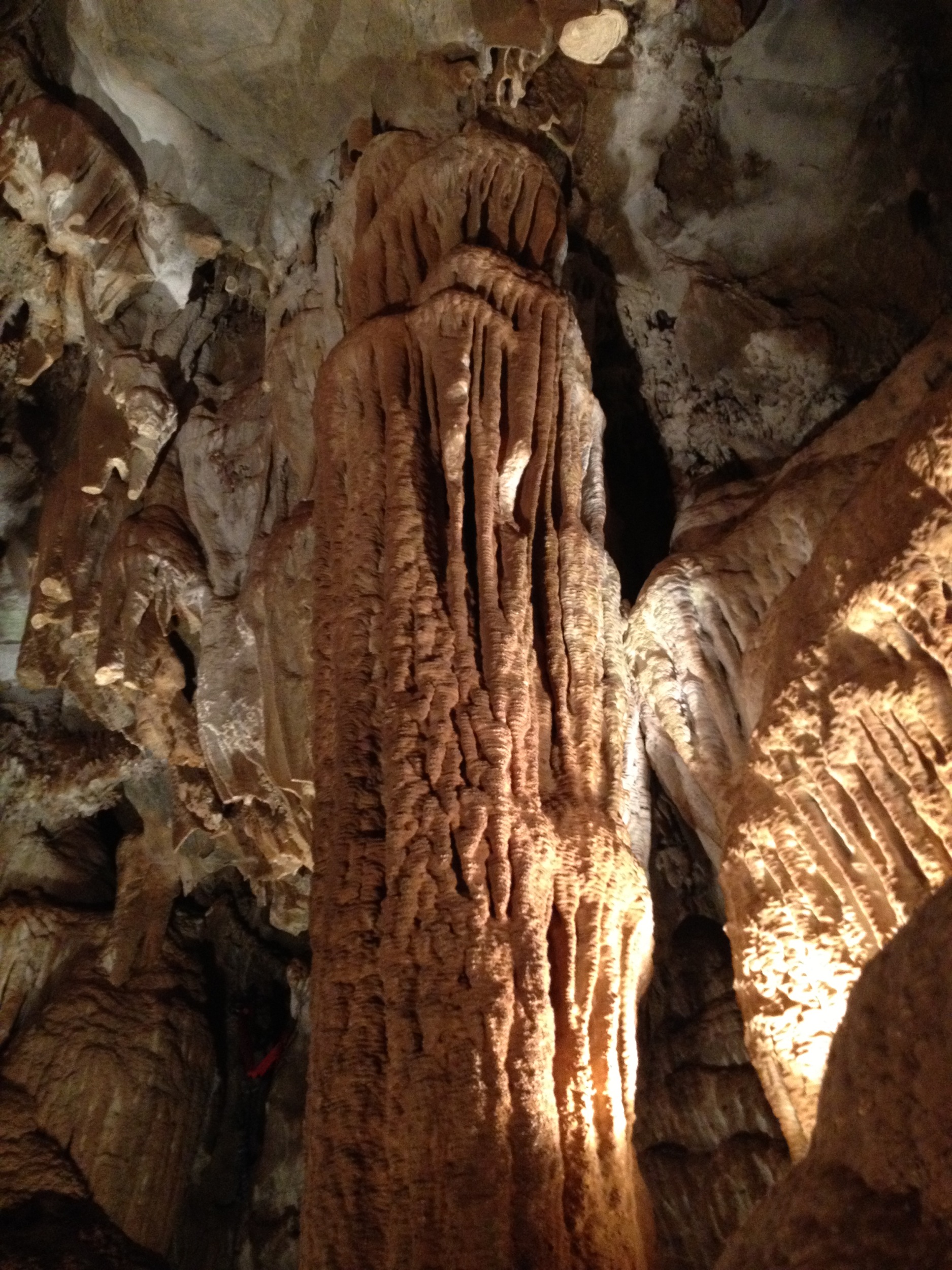
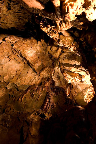
Black Chasm Cavern, Volcano, California.
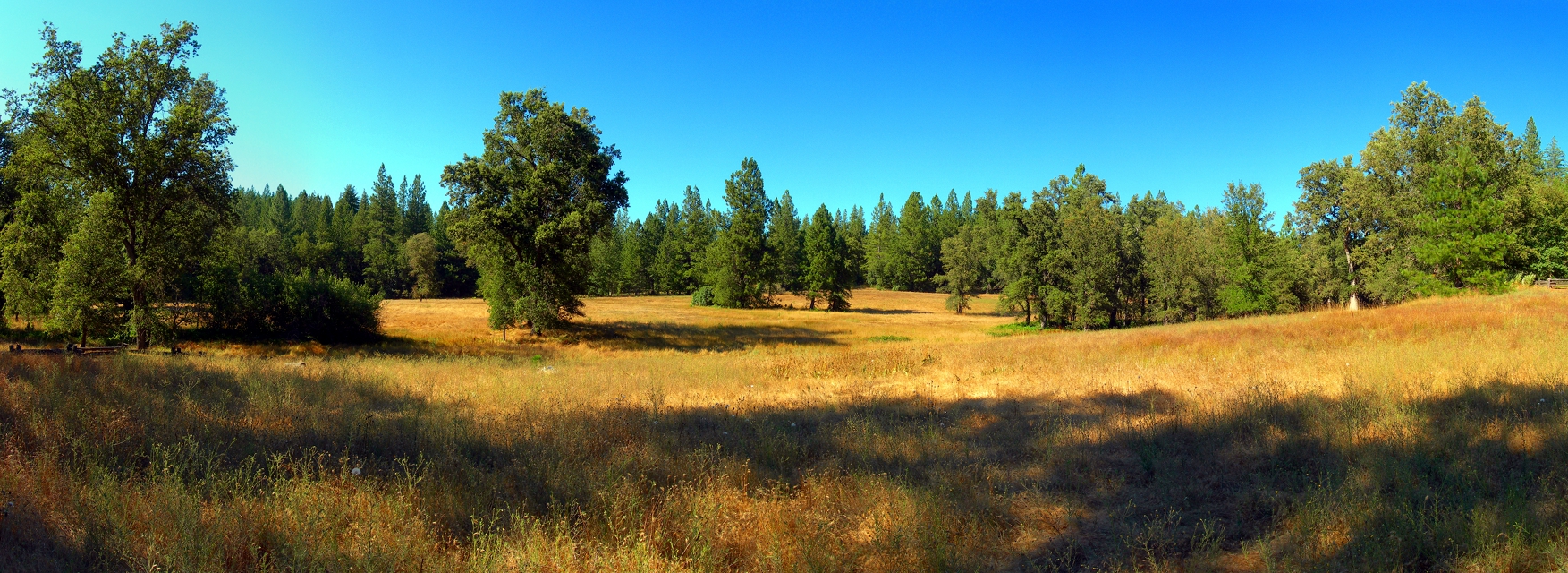
At the Edge of the Meadow
Topographic Map of Hidden Valley Rd, West Point, CA, USA
Find elevation by address:

Places near Hidden Valley Rd, West Point, CA, USA:
1546 Hidden Valley Rd
2006 Skull Flat Rd
Black Prince Road
27700 Susan Ln
12579 Evelyn Way
16494 Cedar Heights Dr
16534 Alpine Ln
16586 Carolyn Ct
Black Prince Road & Tiger Creek Road
Black Prince Road & Tiger Creek Road
Black Prince Road & Tiger Creek Road
27379 Silver Dr
Our Lady Of The Pines Catholic
16611 Silver Dr S
Mckenzie Drive
26775 Wagon Wheel Dr
16923 Mckenzie Dr
16932 Mckenzie Dr
26675 Tiger Creek Rd
Buckhorn Mobile Home Park
Recent Searches:
- Elevation of Corso Fratelli Cairoli, 35, Macerata MC, Italy
- Elevation of Tallevast Rd, Sarasota, FL, USA
- Elevation of 4th St E, Sonoma, CA, USA
- Elevation of Black Hollow Rd, Pennsdale, PA, USA
- Elevation of Oakland Ave, Williamsport, PA, USA
- Elevation of Pedrógão Grande, Portugal
- Elevation of Klee Dr, Martinsburg, WV, USA
- Elevation of Via Roma, Pieranica CR, Italy
- Elevation of Tavkvetili Mountain, Georgia
- Elevation of Hartfords Bluff Cir, Mt Pleasant, SC, USA