Elevation of Hidden Valley Rd, Clyde, NC, USA
Location: United States > North Carolina > Haywood County > Clyde > Clyde >
Longitude: -82.8845287
Latitude: 35.6407025
Elevation: 999m / 3278feet
Barometric Pressure: 0KPa
Related Photos:

Leaving Canton

Cataloochee Valley View Over Fence

Up and Down
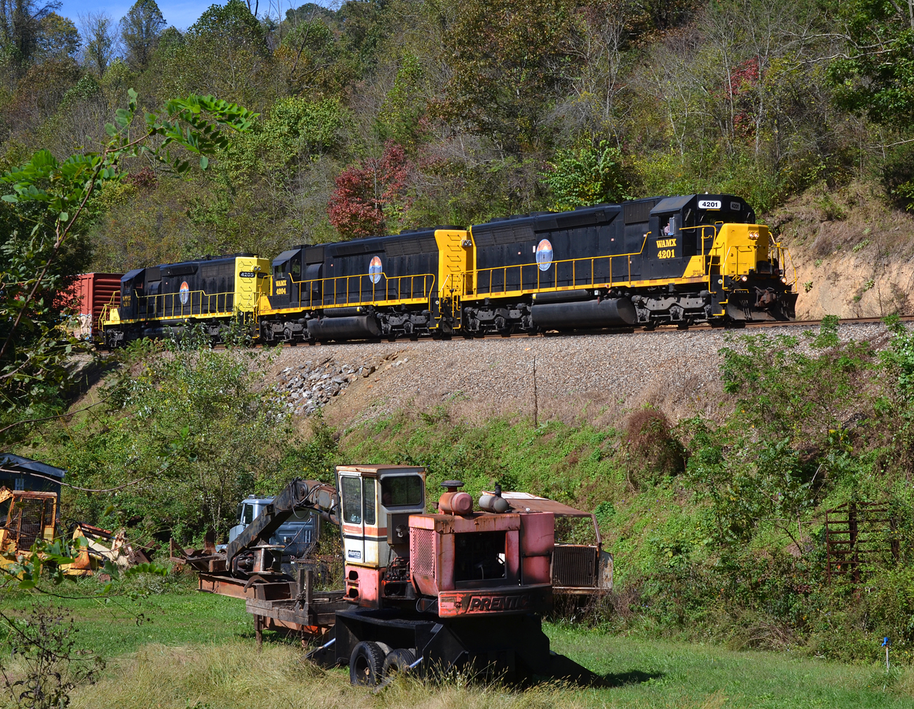
2018 10-18 1240-6 BLU SD40-2-4201 E/B T-31, Canton, NC

An EXTRAORDINARY View!

Cataloochee Valley

Cataloochee Valley 2

2018 10-18 1233-3 BLU SD40-2-4201 E/B T-31, Canton, NC

Cataloochee Valley 3

TrackHead Studios - DO NOT TOUCH

Max Patch, Ecclesiastes 3:11

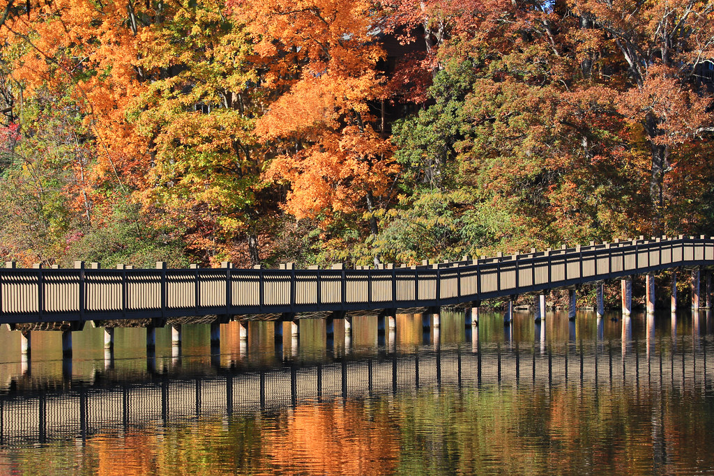
Lake Junaluska, NC

Max Patch, Pisgah Nat'l Forest, Proverbs 10:25

Bench Monday: Junaluska Edition

Max Patch, Romans 1:20

A Heavy Duty Truck Bed Cover On A Ford F- Series

A Heavy Duty Truck Bed Cover On A Ford F- Series
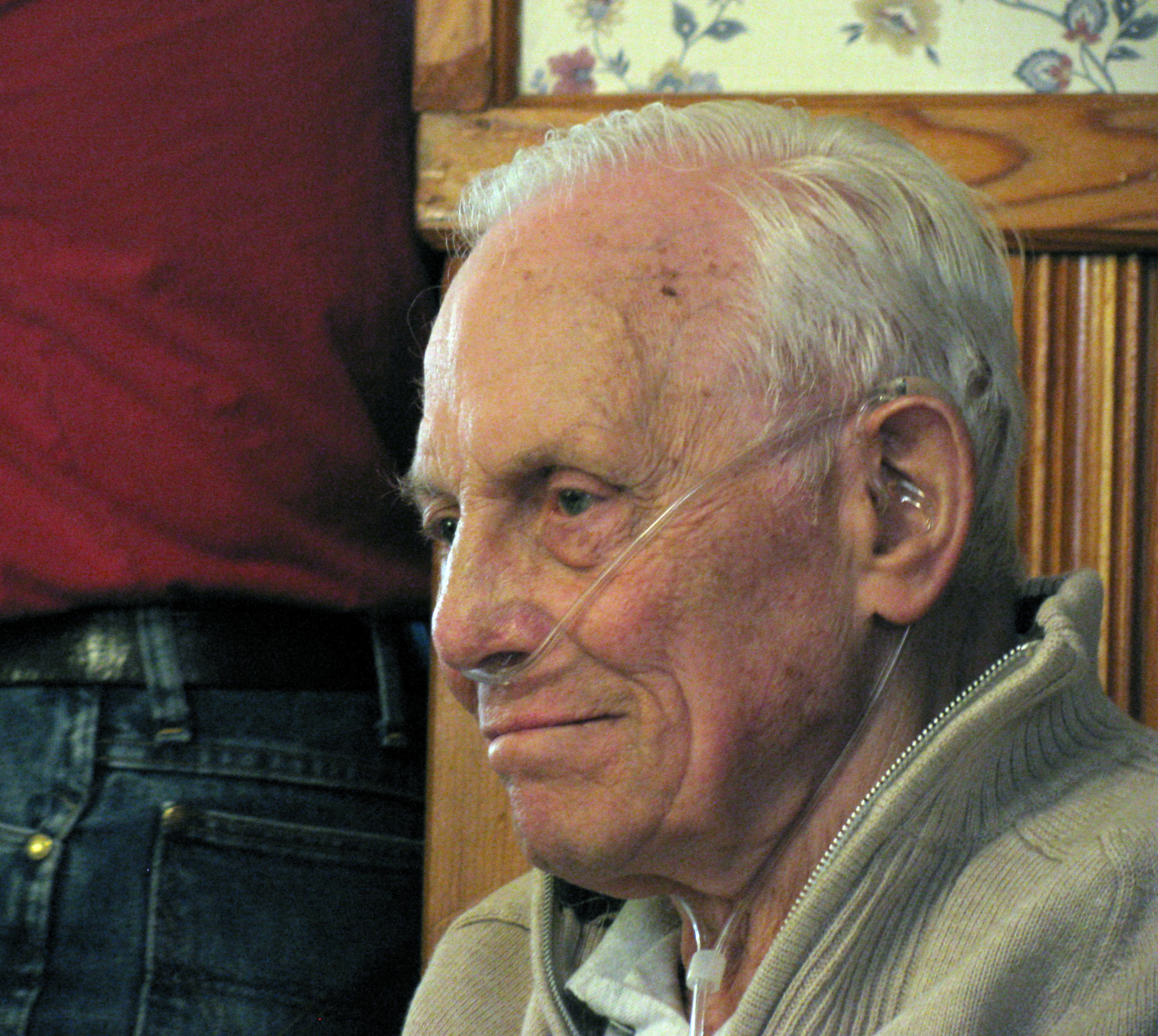
In Memory Of John ("Jack") Easton / 1923–2010

A Chamber of Commerce View

Aerial view of Champion Paper Mill, circa 1950 — dimensions: ~ 3 x 4 ft

Messer Rd.

Appalachian Fall
from here to there

Take the high road....

T-31 at High Bridge

The Final Moments of Fall

changing colors

Drv2NYC (890)

Rain in the Valley

Clouded Reality
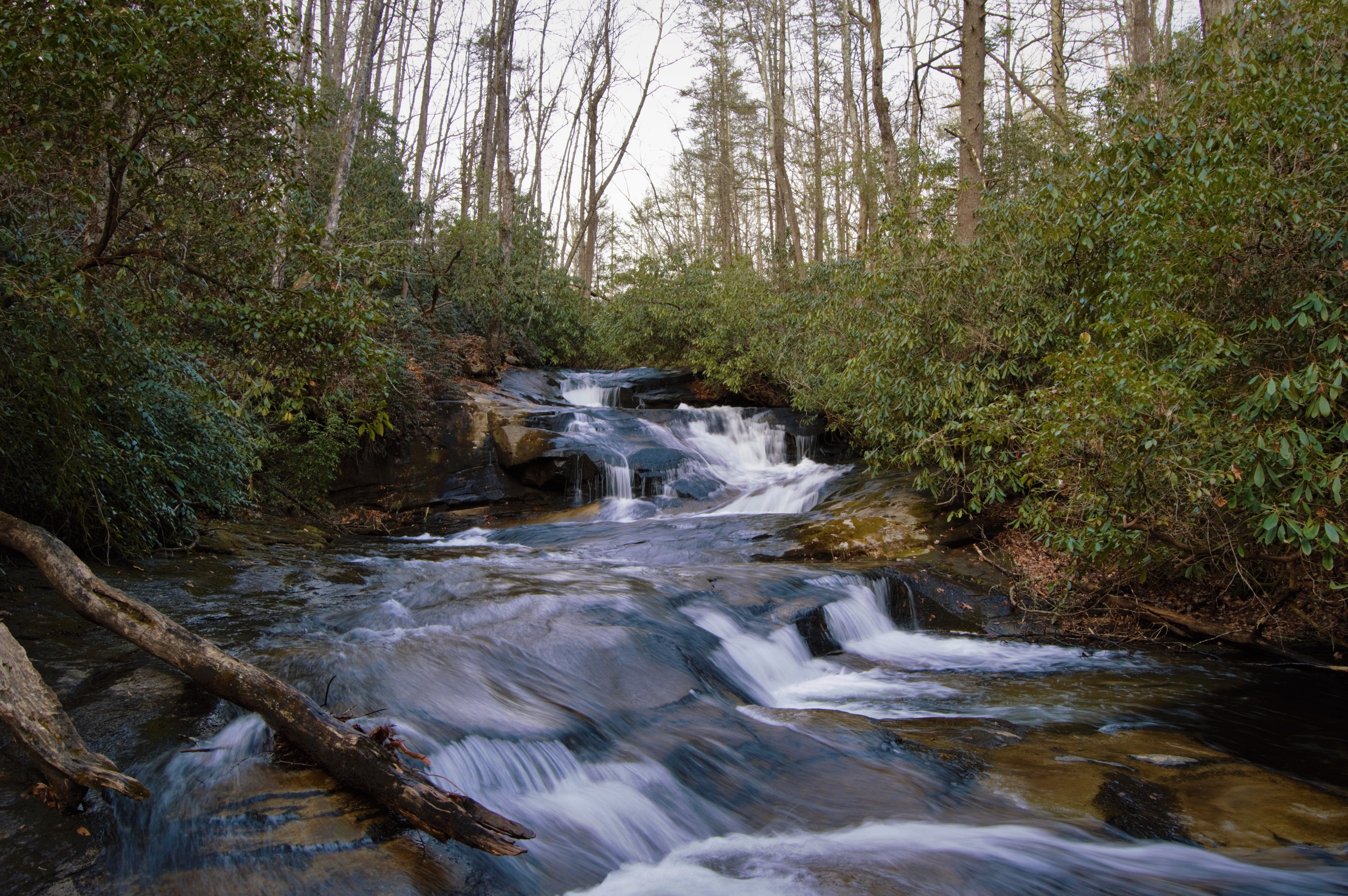
Cove Creek Falls

Harmon Den Creek in North Carolina.
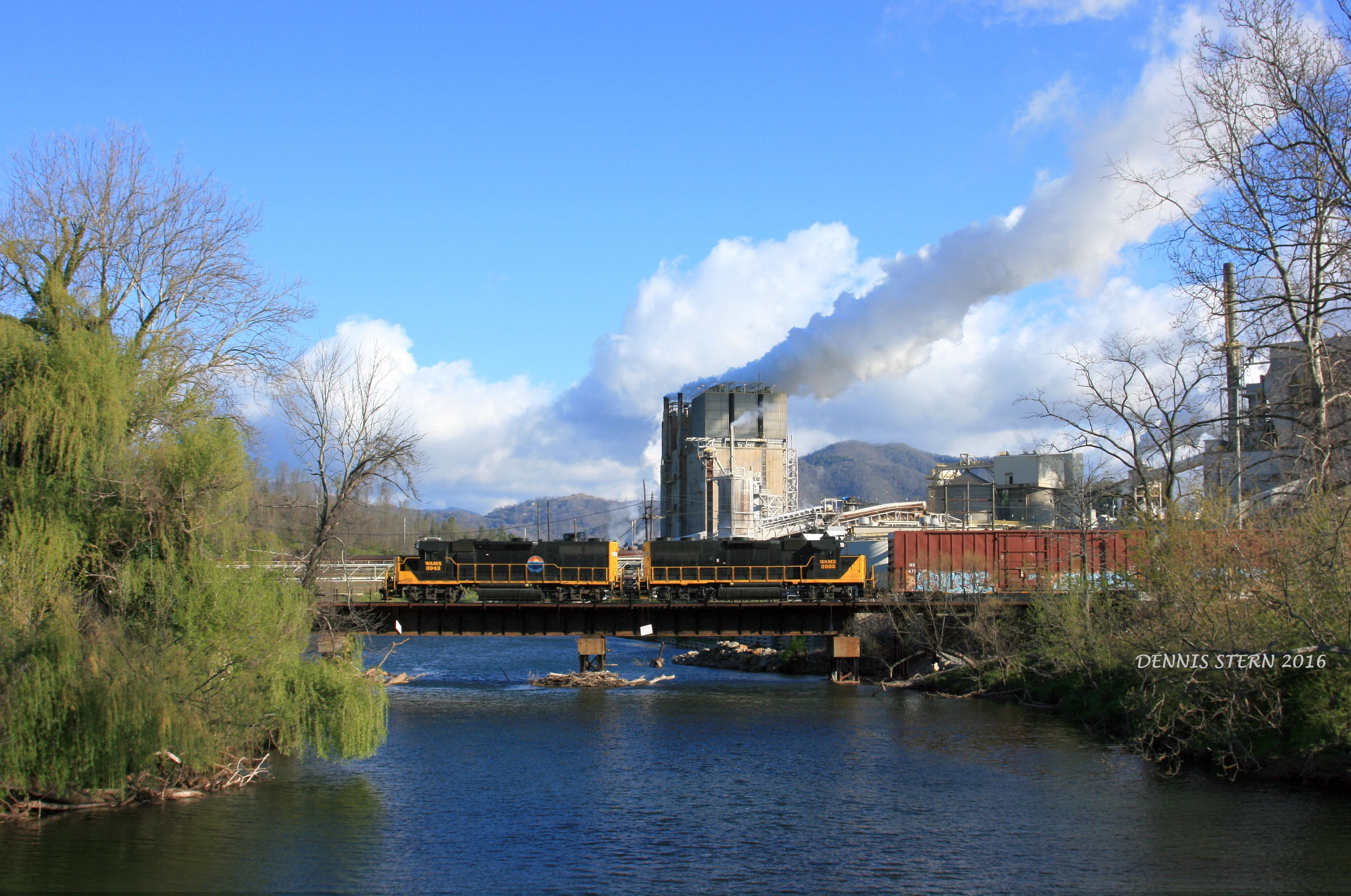
WAMX 3943, #59, CANTON, NC 4-9-16

North Carolina - Blue Ridge Parkway

Mountains and Clouds Landscape

Max Patch 03

tone gold

Haywood County Landscape

Just passin' through

Blue Ridge Southern T31 @ Stone House

Max Patch 01

Golden Pasture
Topographic Map of Hidden Valley Rd, Clyde, NC, USA
Find elevation by address:

Places near Hidden Valley Rd, Clyde, NC, USA:
472 Hidden Valley Rd
49 Belle Vista Dr
132 Moonbeam Ln #27
264 Moonbeam Ln
119 Rolling Meadow Ln
321 Triple Creek Dr
110 Dolan Dr
110 Dolan Dr
5829 Liner Creek Rd
382 Quail Cove Rd
591 Quail Cove Rd
6229 Liner Creek Rd
549 Quail Cove Rd
549 Quail Cove Rd
9 Mount Soma Blvd
Clark Road
Clark Road
22 Mount Soma Blvd
60 Hanuman Trail
81 Little Roundtop Rd
Recent Searches:
- Elevation of Clifton Down, Clifton, Bristol, City of Bristol, England, BS8 3HU, United Kingdom
- Elevation map of Auvergne-Rhône-Alpes, France
- Elevation map of Upper Savoy, Auvergne-Rhône-Alpes, France
- Elevation of Chamonix-Mont-Blanc, Upper Savoy, Auvergne-Rhône-Alpes, France
- Elevation of 908, Northwood Drive, Bridge Field, Chesapeake, Virginia, 23322, USA
- Elevation map of Nagano Prefecture, Japan
- Elevation of 587, Bascule Drive, Oakdale, Stanislaus County, California, 95361, USA
- Elevation of Stadion Wankdorf, Sempachstrasse, Breitfeld, Bern, Bern-Mittelland administrative district, Bern, 3014, Switzerland
- Elevation of Z024, 76, Emil-von-Behring-Straße, Marbach, Marburg, Landkreis Marburg-Biedenkopf, Hesse, 35041, Germany
- Elevation of Gaskill Road, Hunts Cross, Liverpool, England, L24 9PH, United Kingdom
- Elevation of Speke, Liverpool, England, L24 9HD, United Kingdom
- Elevation of Seqirus, 475, Green Oaks Parkway, Holly Springs, Wake County, North Carolina, 27540, USA
- Elevation of Pasing, Munich, Bavaria, 81241, Germany
- Elevation of 24, Auburn Bay Crescent SE, Auburn Bay, Calgary, Alberta, T3M 0A6, Canada
- Elevation of Denver, 2314, Arapahoe Street, Five Points, Denver, Colorado, 80205, USA
- Elevation of Community of the Beatitudes, 2924, West 43rd Avenue, Sunnyside, Denver, Colorado, 80211, USA
- Elevation map of Litang County, Sichuan, China
- Elevation map of Madoi County, Qinghai, China
- Elevation of 3314, Ohio State Route 114, Payne, Paulding County, Ohio, 45880, USA
- Elevation of Sarahills Drive, Saratoga, Santa Clara County, California, 95070, USA