Elevation of Hickory Hill Rd, Hendersonville, NC, USA
Location: United States > North Carolina > Henderson County > Hendersonville >
Longitude: -82.473604
Latitude: 35.3668635
Elevation: 648m / 2126feet
Barometric Pressure: 94KPa
Elevation Map:
Satellite Map:
Related Photos:

hbw... happy butterfly wednesday my friends!

sunset 3-26-20

Island in the Fog

sunset 8-16-2017

Sunset at Bearwallow Mountain (Henderson County)

Hendersonville Bears 13 - Into The Wild

Orange Peppers

Early December Sunset

Logs and Hay

Hay Bale II
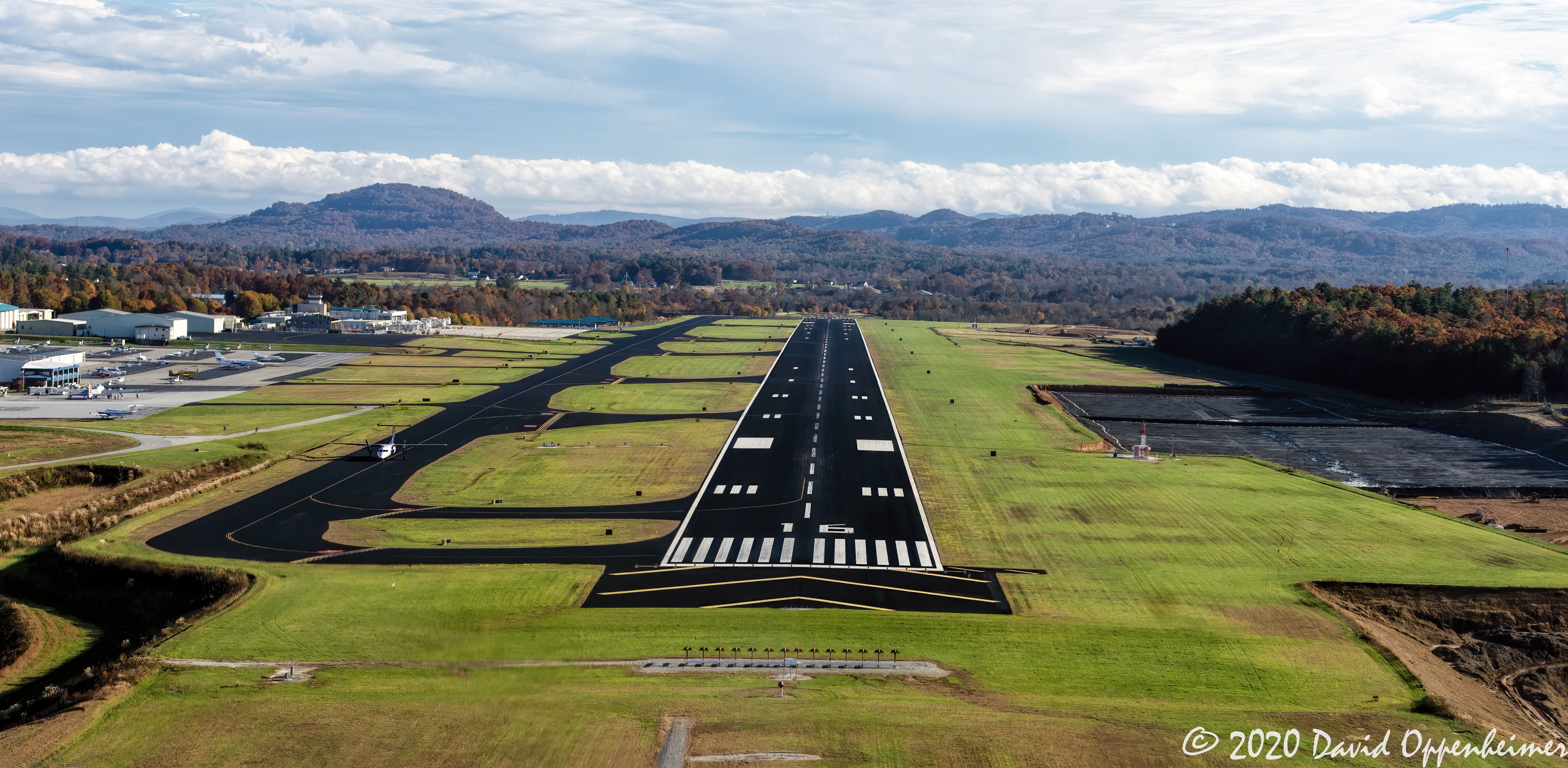
Asheville Regional Airport Runway 16 Landing Approach Aerial View

Flat Rock Village Hall

Plan #5020-The Jasper Hill

Into the Evening Air

Downtown Hendersonville, North Carolina

Jackson County North Carolina Aerial Sunset
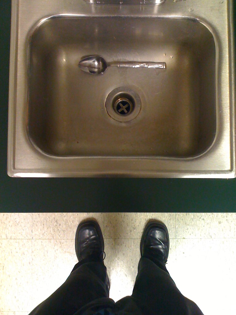
Wash Your Own Dishes, Don NOT Let Them Pile Up in the Sink!

Hunter lives the high life.

Jeter Mountain Fog

Welcome to Asheville NC - Blue Ridge Mountains Sunset

private parts

Asheville, North Carolina

Western North Carolina

Sunrise Tryon

Western North Carolina

8-6-19 Sunset

Low Key

Peace On Earth

Sun Beam

Friday night lights

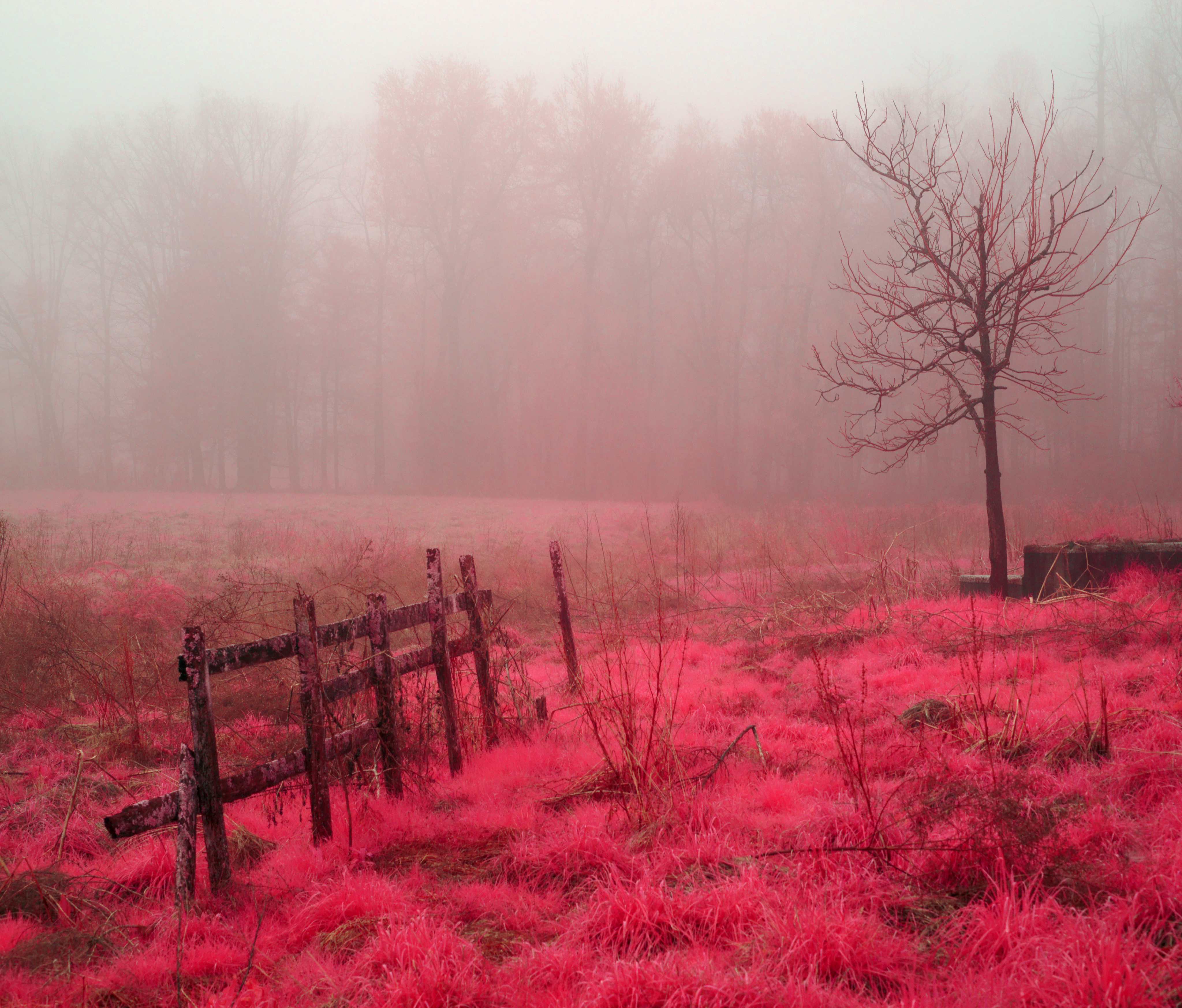
Mountain Magenta

The Park At Flat Rock (Flat Rock, North Carolina)

Seven Falls (Etowah, North Carolina)

The Carl Sandburg National Historic Site

First light

Morning Mist

Sunrise at Mt Tryon

Just You And Me -- Again
Shag Rug Faceoff
Topographic Map of Hickory Hill Rd, Hendersonville, NC, USA
Find elevation by address:

Places near Hickory Hill Rd, Hendersonville, NC, USA:
3127 Florida Dr
131 Shelly Dr
Asheville Highway
279 Randy Dr
2705 Greater Druid Hills Blvd
Mountain Home, NC, USA
749 Halsbury Ave
303 Darnell Dr
200 Sargeant Ln
116 Falling Waters Rd #4
116 Falling Waters Rd
62 Bayless Dr
Mountain Home
Balfour
191 Plantation Dr
136 Beechwood Lakes Dr
44 Loblin Ln
1957 Brookside Camp Rd
14 Panther Rdg Rd
355 Mountain Rd
Recent Searches:
- Elevation of Corso Fratelli Cairoli, 35, Macerata MC, Italy
- Elevation of Tallevast Rd, Sarasota, FL, USA
- Elevation of 4th St E, Sonoma, CA, USA
- Elevation of Black Hollow Rd, Pennsdale, PA, USA
- Elevation of Oakland Ave, Williamsport, PA, USA
- Elevation of Pedrógão Grande, Portugal
- Elevation of Klee Dr, Martinsburg, WV, USA
- Elevation of Via Roma, Pieranica CR, Italy
- Elevation of Tavkvetili Mountain, Georgia
- Elevation of Hartfords Bluff Cir, Mt Pleasant, SC, USA