Elevation of 14 Panther Rdg Rd, Hendersonville, NC, USA
Location: United States > North Carolina > Henderson County > Hendersonville >
Longitude: -82.467781
Latitude: 35.3902564
Elevation: 733m / 2405feet
Barometric Pressure: 93KPa
Elevation Map:
Satellite Map:
Related Photos:

hbw... happy butterfly wednesday my friends!

Historic Sandburg Home
Confirmed Desperation

sunset 8-16-2017

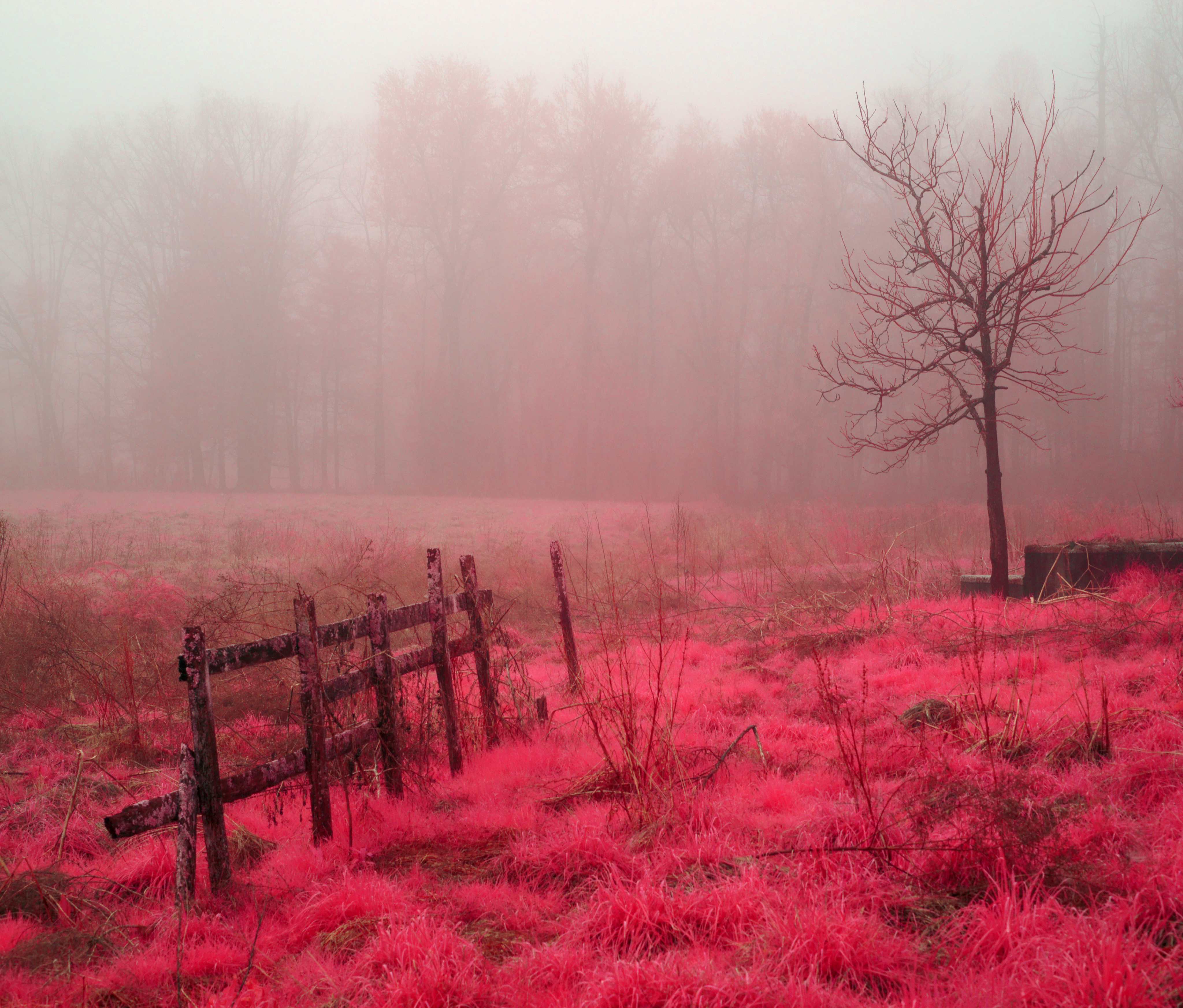
Island in the Fog

Hendersonville Bears 13 - Into The Wild

Sunset at Bearwallow Mountain (Henderson County)

Hunter lives the high life.

Walking Up To The Sandburg Home

Orange Peppers

Early December Sunset
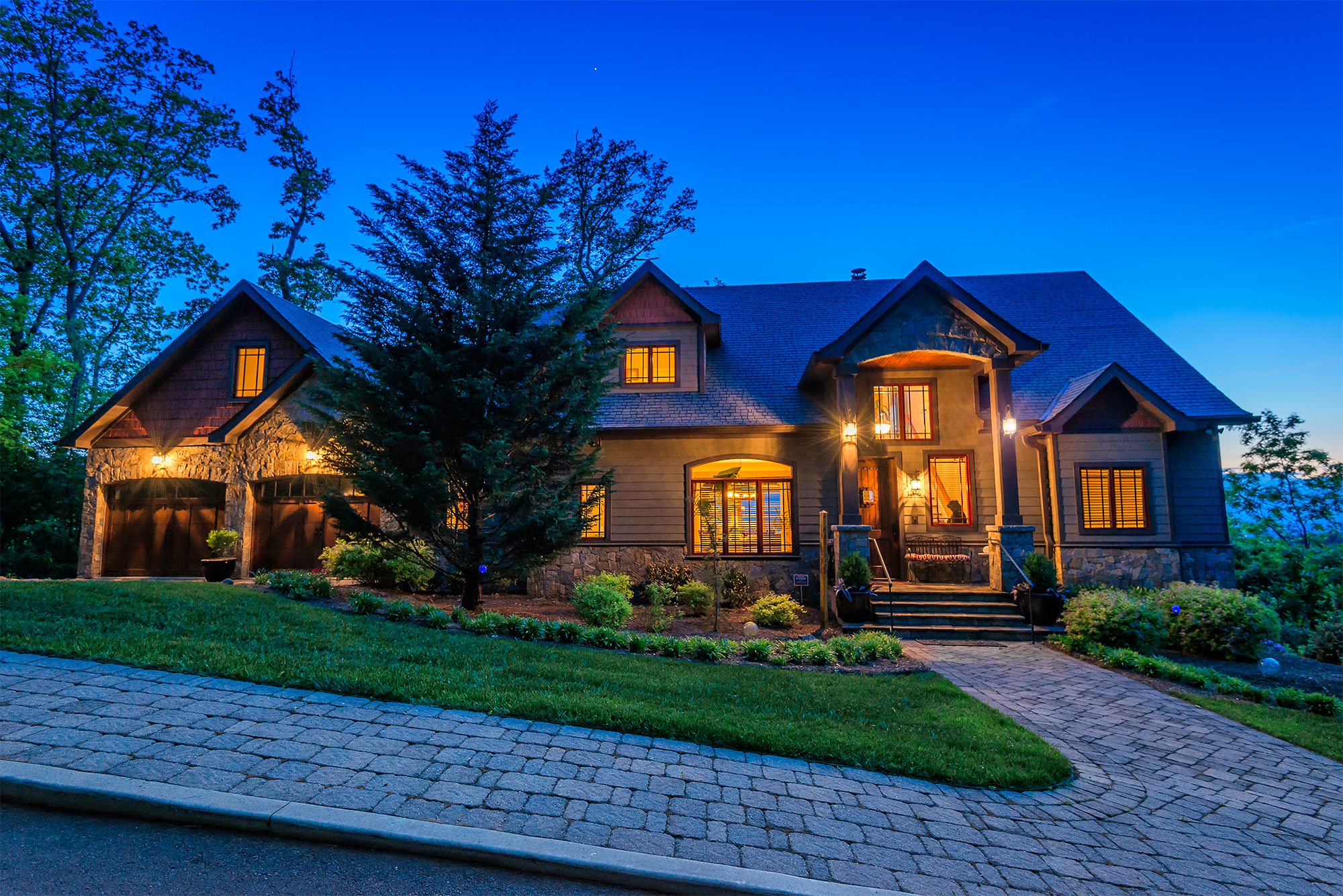
Asheville Real Estate Photography (by Ken Lane)

Asheville Real Estate Photography (by Ken Lane)

It Is True

Asheville Real Estate Photography (by Ken Lane)

Welcome to Asheville NC - Blue Ridge Mountains Sunset
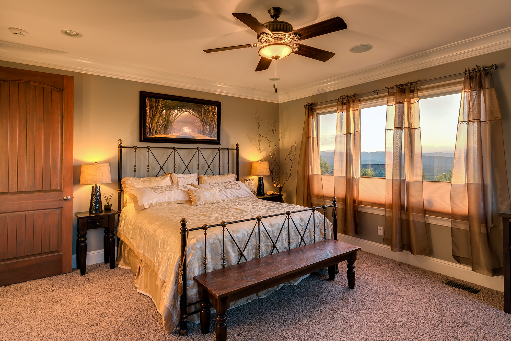
Asheville Real Estate Photography (by Ken Lane)

Coal Ash Mound at Duke Energy Asheville Combined Cycle Plant Aerial View
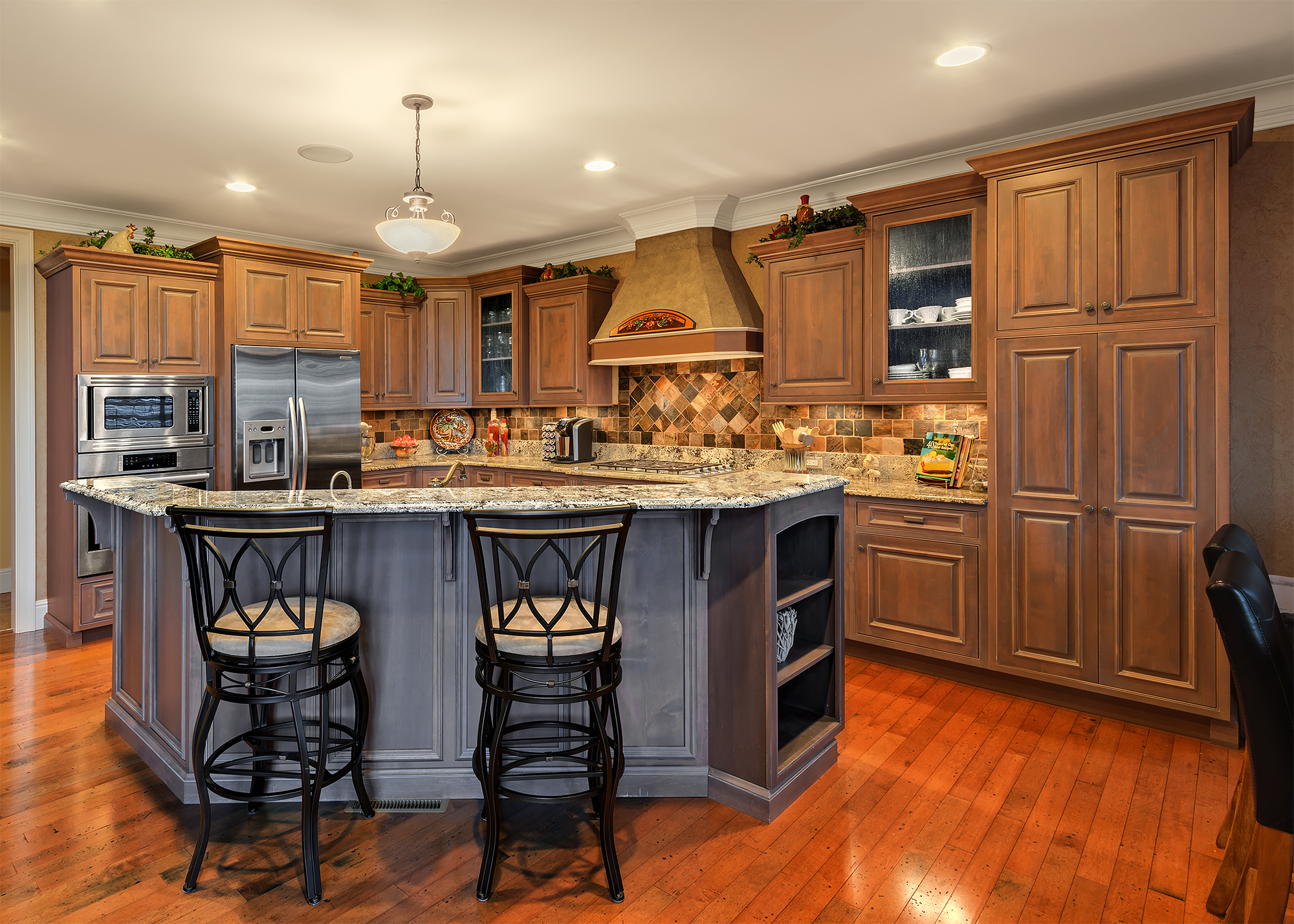
Asheville Real Estate Photography (by Ken Lane)

Asheville Regional Airport Runway 16 Landing Approach Aerial View

Asheville Real Estate Photography (by Ken Lane)

Asheville, North Carolina

Western North Carolina

Mist and beams

Low Key

Sunrise Tryon

Snowstorm on Roper Road

Peace On Earth

The Park At Flat Rock (Flat Rock, North Carolina)

Field of Zinnias Under a Very Cloudy Sky

Jump Off Rock Hendersonville NC in Amazing Light - Luminous

First light

One of many apalachian water falls

Elemental Forms

Just You And Me -- Again

Friday night lights

At the Crossroads

The Carl Sandburg National Historic Site
Shag Rug Faceoff

Silence In Black And White
Topographic Map of 14 Panther Rdg Rd, Hendersonville, NC, USA
Find elevation by address:

Places near 14 Panther Rdg Rd, Hendersonville, NC, USA:
851 Sunlight Ridge Dr
13 Scenic View Dr
136 Beechwood Lakes Dr
37 Fiver Ln
920 Sunlight Ridge Dr
44 Loblin Ln
116 Falling Waters Rd #4
116 Falling Waters Rd
163 Amble Ln
302 Hutch Mountain Rd
1957 Brookside Camp Rd
200 Sargeant Ln
69 Clark Gap Dr
Couch Mountain
2322 Locust Grove Rd
Carpenters Son Lane
12 Hutchinson Woods Dr
47 Dean Ln
55 Whitley Ln
Recent Searches:
- Elevation of Corso Fratelli Cairoli, 35, Macerata MC, Italy
- Elevation of Tallevast Rd, Sarasota, FL, USA
- Elevation of 4th St E, Sonoma, CA, USA
- Elevation of Black Hollow Rd, Pennsdale, PA, USA
- Elevation of Oakland Ave, Williamsport, PA, USA
- Elevation of Pedrógão Grande, Portugal
- Elevation of Klee Dr, Martinsburg, WV, USA
- Elevation of Via Roma, Pieranica CR, Italy
- Elevation of Tavkvetili Mountain, Georgia
- Elevation of Hartfords Bluff Cir, Mt Pleasant, SC, USA