Elevation of Heritage Rd, Loris, SC, USA

Location: United States > South Carolina > Horry County > Loris >

Longitude: -78.892279

Latitude: 34.0021999

Elevation: 33m / 108feet

Barometric Pressure: 101KPa

Elevation Map:

elevation map of Heritage Rd, Loris, SC, USA

Satellite Map:

Satellite map of Heritage Rd, Loris, SC, USA

Related Photos:

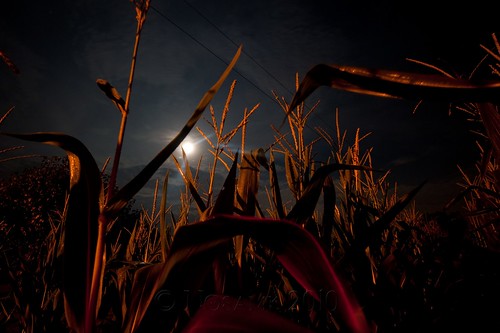
longexposure sky moon sc field night clouds dark corn conway tripod southcarolina full midnight gitzo strawberrymoon arcatech gt2531 nikonafsnikkor1635mmf4gedvr tscf2010ar
midnight in the corn field
trees winter sky bw usa reflection sc water clouds river landscape pond conway southcarolina waccamaw ndx1000 nikonafsnikkor1635mmf4gedvr
winter stillness
me field clouds corn conway southcarolina holly nikonafsnikkor1635mmf4gedvr
children of the corn
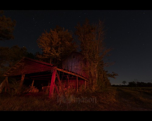
trees red sky white abandoned sc field night barn stars conway tripod southcarolina led gitzo arcatech gt2531 nikonafsnikkor1635mmf4gedvr
abandoned barn on a starry night
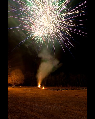
longexposure sc field night fireworks conway nye southcarolina newyearseve nikonafsnikkor1635mmf4gedvr
duck!! run!!
longexposure sc field night fireworks conway nye southcarolina newyearseve nikonafsnikkor1635mmf4gedvr
Happy New Year!
trees winter sky usa reflection sc water clouds river landscape rust conway steel southcarolina pole explore rod waccamaw interestingness373 ndx1000 nikonafsnikkor1635mmf4gedvr
rusty pole
iris usa flower macro sc spring blossom conway southcarolina petal bloom sigma150mmf28exapodghsmmacro
blue iris
flower macro tree sc spring blossom conway southcarolina bloom bradfordpear nikonafnikkor85mmf14d
spring blooms
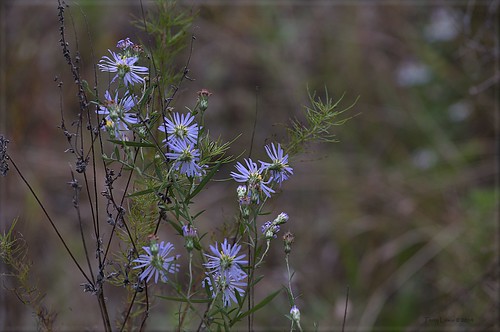
flora wildflower
Autumn Wildflower 1
Autumn Wildflower 2
geotagged geolat341167247142789 geolon788756805714284
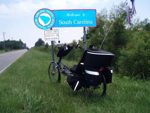
The official SC Welcome Sign
geotagged geolat341283709999996 geolon788759702499999
We have arrived
autumn red fall sc colors leaves car clouds fence conway tripod southcarolina audi hdr avant gitzo s4 photomatix mynewusedcar 7exposure arcatech gt2531 nikonafsnikkor1635mmf4gedvr
there came a rustling in the leaves...
animal cat nose kitty
Nose Knows
sc fog web southcarolina dew
Shattered View
bird chicken
It Lies Beneath
sunset canon eos 350d rebel xt charliej taborcity
Sunset over Tabor City Sports Complex
mist sc wet misty clouds flying airport cloudy aircraft aviation flight southcarolina rainy carolina airports runway loris carolinas runways twincity runway8 5j9
Twin City Airport-Runway 8
golf 2006 digt longbayclub
Long Bay Club #18
20160731_162317(0)