Elevation of Henry Ave, Boyertown, PA, USA
Location: United States > Pennsylvania > Berks County > Colebrookdale Township >

Longitude: -75.63303

Latitude: 40.345659

Elevation: 118m / 387feet

Barometric Pressure: 100KPa

Elevation Map:

elevation map of Henry Ave, Boyertown, PA, USA
Satellite Map:

Satellite map of Henry Ave, Boyertown, PA, USA
Related Photos:

usa geotagged unitedstates pennsylvania 360 panoramic pottstown stereographic ringingrocks tonemapped sigma10mm nodalninja eosdigitalrebelxti photoengine geo:lat=4027048266 geo:lon=7560611308 ringinghills
Ringing Rocks - 2010 (stereo)
View Road
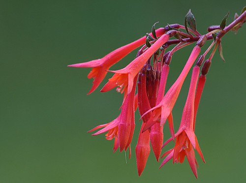
flowers macro garden pennsylvania fuschia ladys eardrops p2009c
Lady's Eardrops
county scenery view walk farm chester trail locks northern overlook laurel norco
Laurel Locks Farm
square squareformat iphoneography instagramapp uploaded:by=instagram foursquare:venue=4c28cc00d26eb7139a5114d1
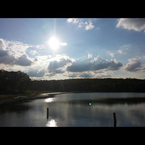
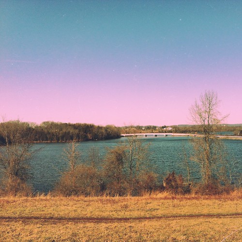
Another lake view from Green Lane
macro colors vivid yarn macrame
Vivid Macrame Yarn
My View On The Way To Work
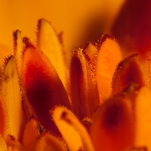
orange flower macro petals mum
Marigold Petal Macro
autumn red leaf maple strobist
The hunt for red October
My View On The Way To Work
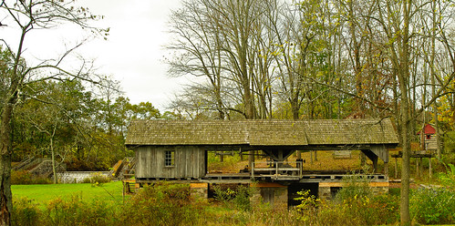
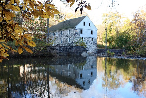
Bertolet Saw Mill - another view
moon night fullmoon telephoto teleconverter wellokalmostfullmoon
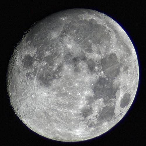
Almost a full moon
orange fern reflection green water flood background p2009c
The Orange and the Green
orange flower macro daylilly
Day Lilly bubble macro
county scenery view walk farm chester trail locks northern overlook laurel norco
Laurel Locks Farm
The view from the kidding stall
sunset clouds view dusk pennsylvania cemetary vista hillside tombstones fairviewcemetary boyertown boyertownpennsylvania fairviewcemetaryboyertownpennsylvania
Fairview of Boyertown
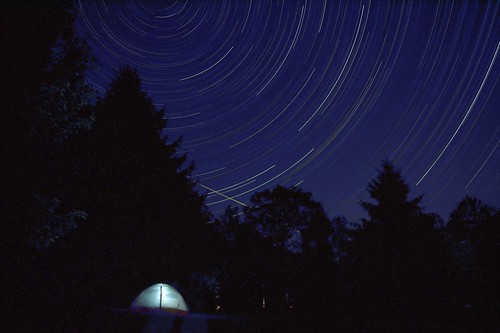
camping night stars tent startrails
Sleeping under the stars
reflection mirror prism storbist
A light in the dark
flower macro
Corn Flower
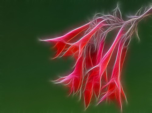
flower fractal
Fractal Flower
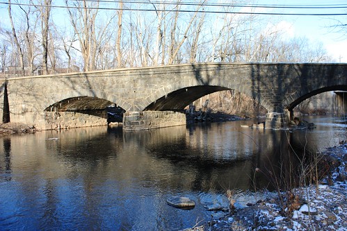
creek swampcreek stonearchbridge montgomerycountypa lowerfredericktownship oldroute29bridge
Old Route 29 Bridge over Swamp Creek
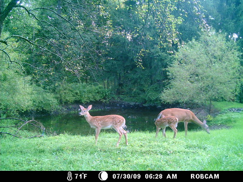
deer i40 moultrie
doe and 2 fawns
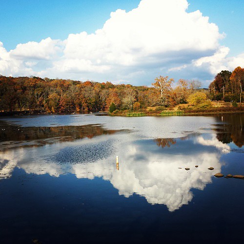
square lofi squareformat iphoneography instagramapp uploaded:by=instagram foursquare:venue=4c28cc00d26eb7139a5114d1
A little photography session at Green Lane. #reflection #Autumn #fall
county pa montgomery swampcreek sunrisemill
SunRise Mill
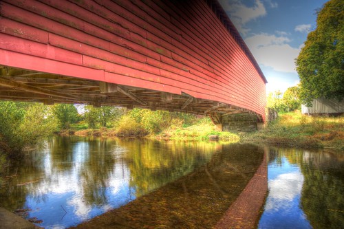
autumn fall coveredbridge hdr berkscounty griesemersmill
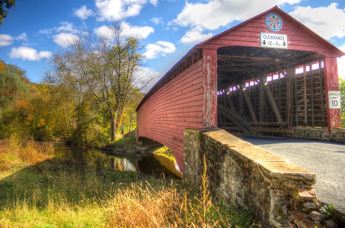
Griesemer's Mill Bridge over Manatawny Creek
IMG_9697.JPG
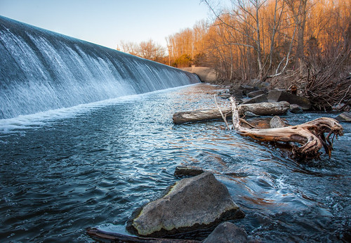
usa tree nature water rock america creek landscape photography log nikon unitedstates pennsylvania dam structures pa northamerica lightroom greenlane montgomerycounty d90 perkiomencreek dcsaint nikond90
Dam At Green Lane.jpg
square squareformat iphoneography instagramapp uploaded:by=instagram foursquare:venue=4d1167a190d0a14372ab9d09
Snuck one more in.
autumn fall coveredbridge hdr berkscounty
Griesemer's Mill Bridge over Manatawny Creek
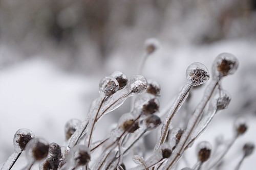
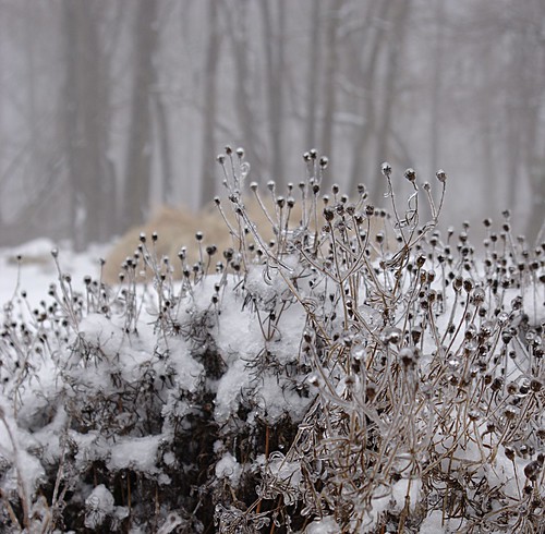
snow ice landscape pennsylvania earltownship
Ice Coated Plant
snow ice landscape pennsylvania earltownship
Winter Garden
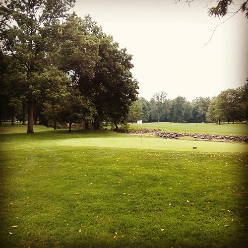
square squareformat hefe iphoneography instagramapp uploaded:by=instagram foursquare:venue=4bb7929853649c74c7e545fb
Not a bad day.
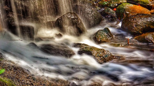
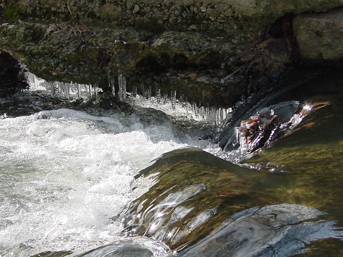
waterfall ringingrockspark pottsgrove
IMG_2889.JPG
uploaded:by=flickrmobile flickriosapp:filter=nofilter
Green Lane/Perk Trail
sunrise commuting
Happy tuesday, sunshine. Commuting Sunrise at French Creek School
public us unitedstates pennsylvania complete birdsboro
DSC02749.jpg
storm nature leaves backyard pennsylvania waterfalls
Backyardwaterfall-2012-12-21
autumn fall coveredbridge hdr berkscounty griesemersmill
Griesemer's Mill Bridge over Manatawny Creek
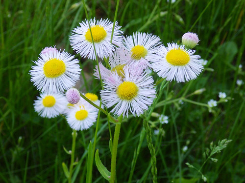
flowers flower
River Front Park Pottstown, PA
greenlanereservoir uploaded:by=flickrmobile flickriosapp:filter=nofilter
Green Lane Reservoir