Elevation of Colebrookdale Township, PA, USA
Location: United States > Pennsylvania > Berks County >
Longitude: -75.649902
Latitude: 40.3474333
Elevation: 165m / 541feet
Barometric Pressure: 99KPa
Elevation Map:
Satellite Map:
Related Photos:
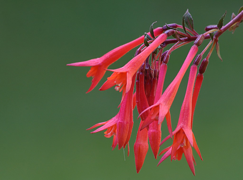
Lady's Eardrops

Laurel Locks Farm
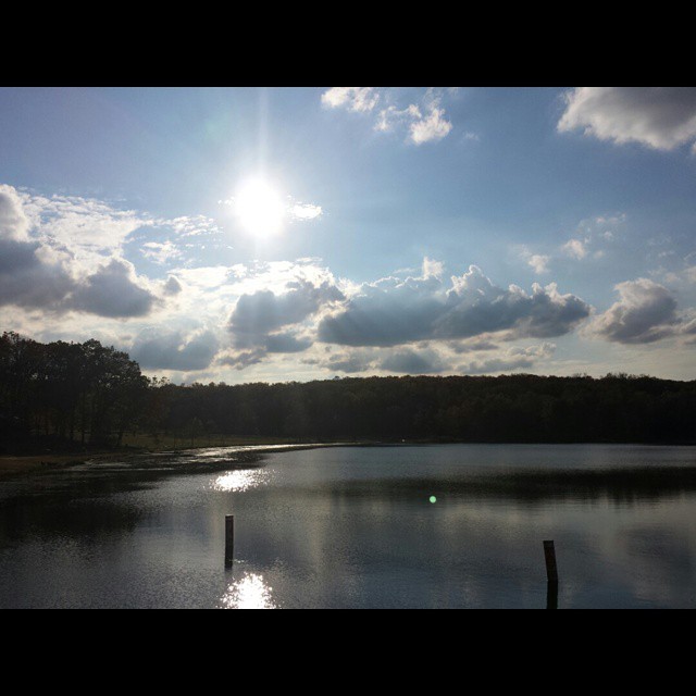
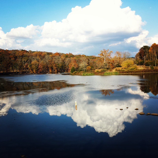
Another lake view from Green Lane

Vivid Macrame Yarn
My View On The Way To Work

Marigold Petal Macro
The hunt for red October
My View On The Way To Work
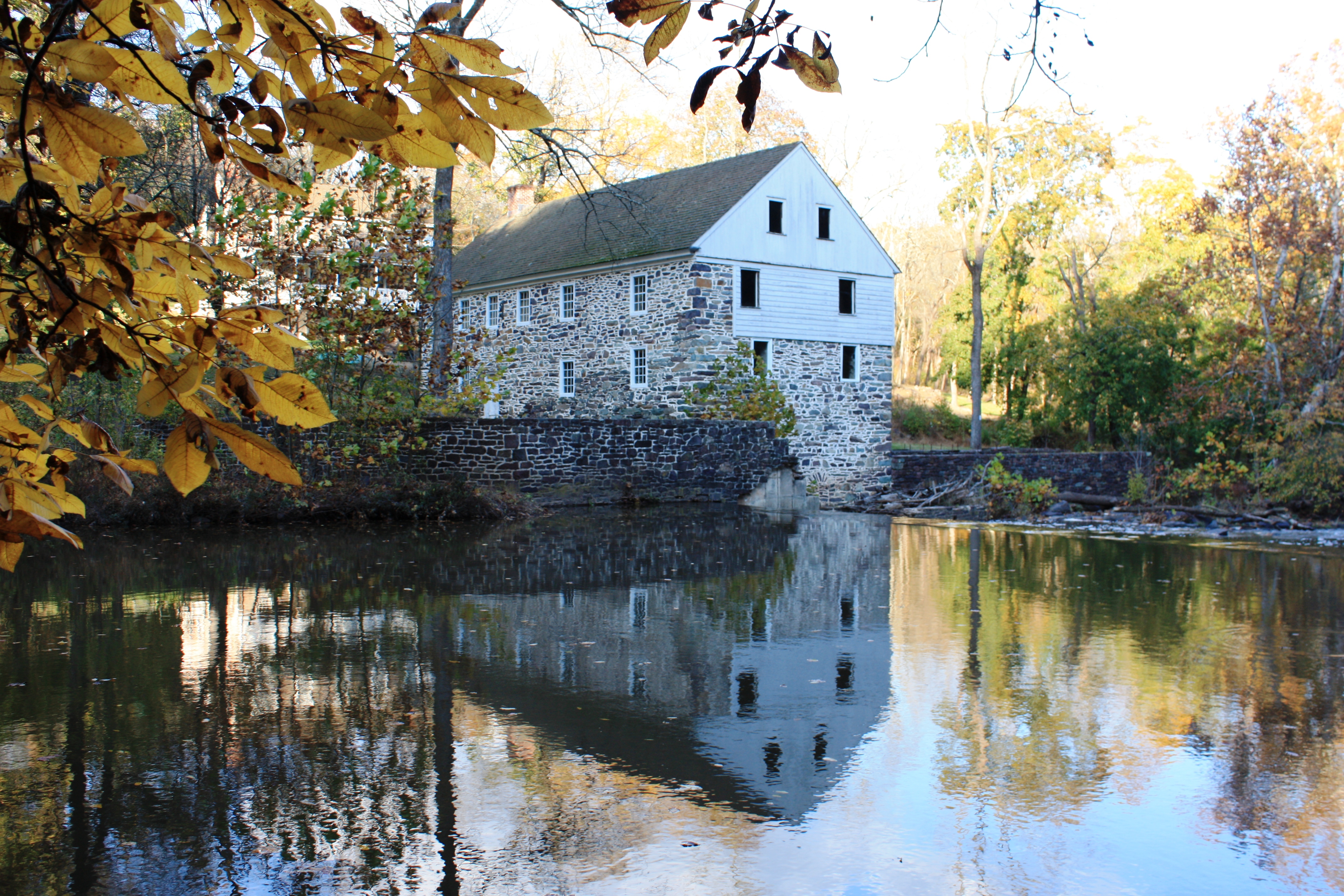
Bertolet Saw Mill - another view
Almost a full moon

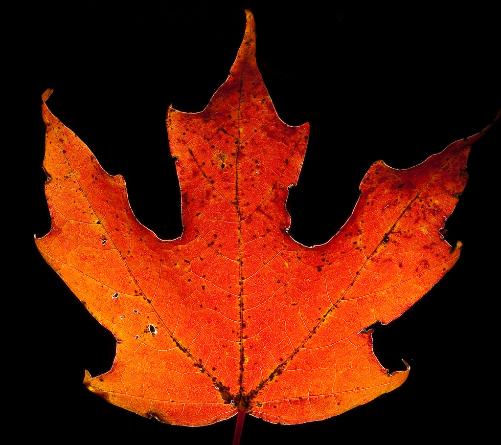
The Orange and the Green

Day Lilly bubble macro
Laurel Locks Farm
The view from the kidding stall
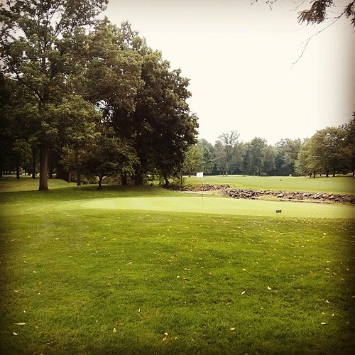
Fairview of Boyertown
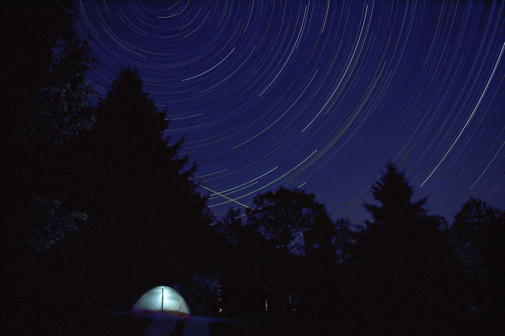
Sleeping under the stars

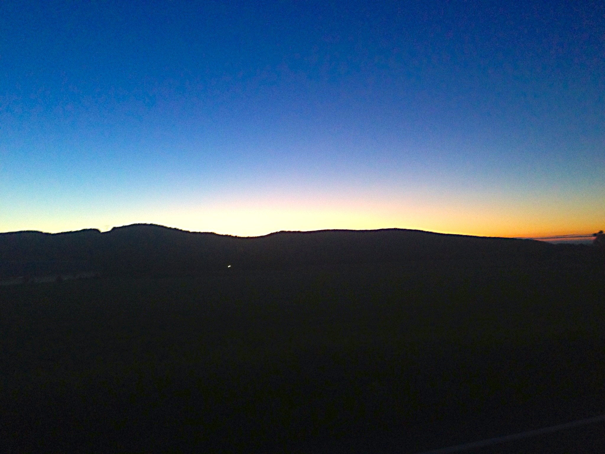
A light in the dark

Corn Flower

Fractal Flower

Gin and Bokeh with Lime

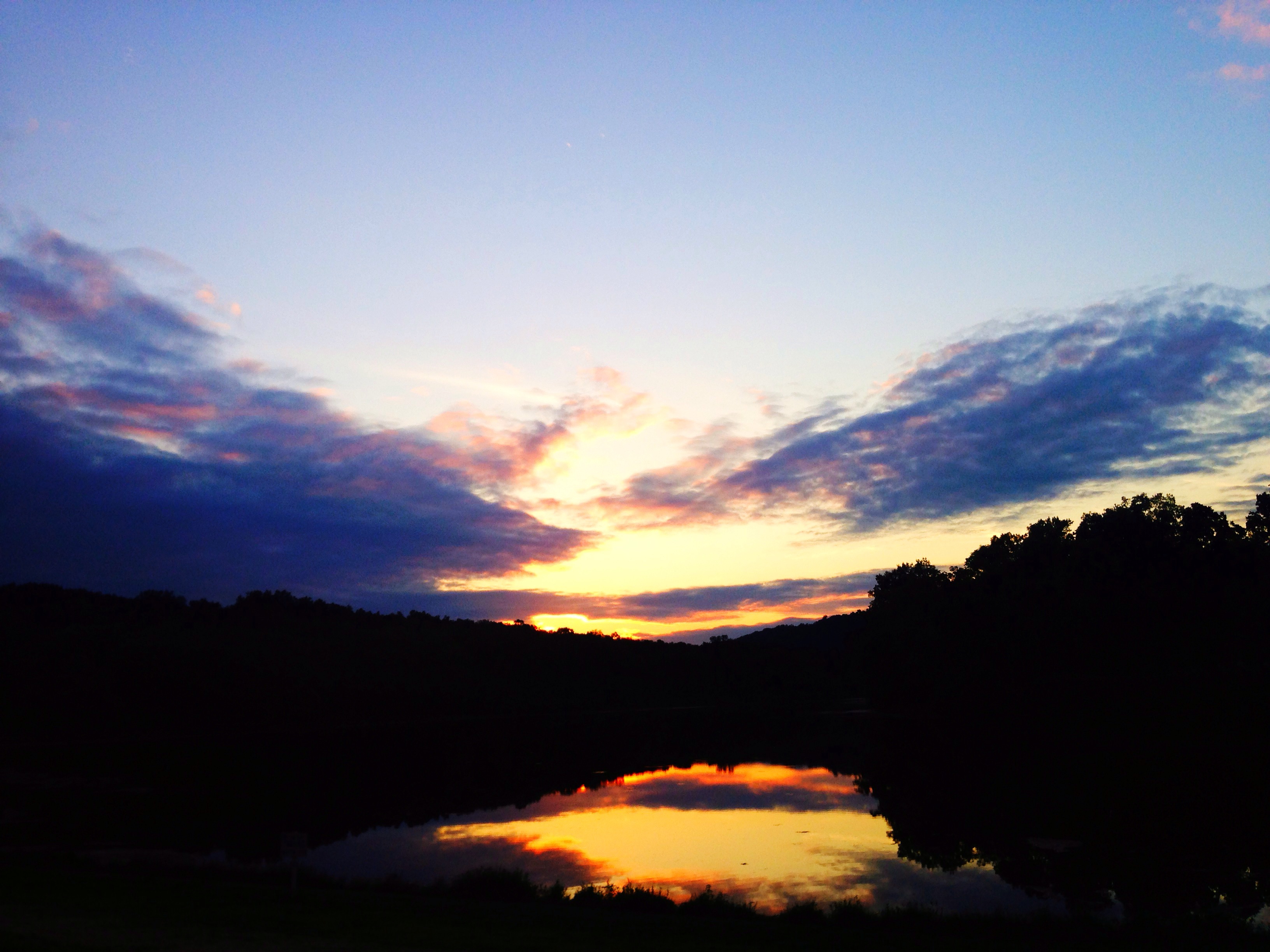
Morning Glow
A little photography session at Green Lane. #reflection #Autumn #fall
SunRise Mill

Griesemer's Mill Bridge over Manatawny Creek

IMG_9697.JPG
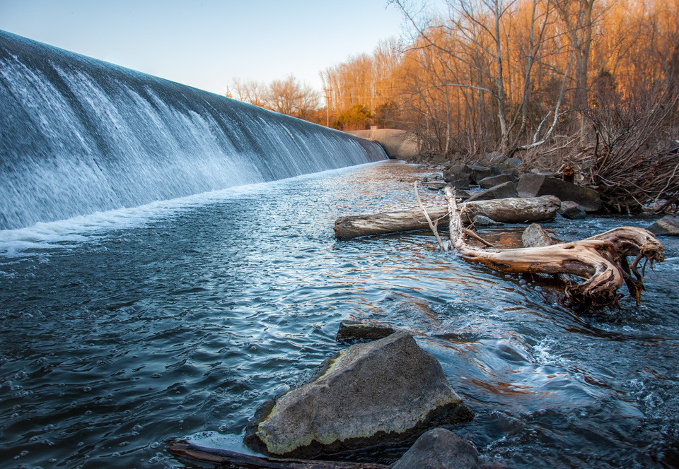
Dam At Green Lane.jpg
Snuck one more in.
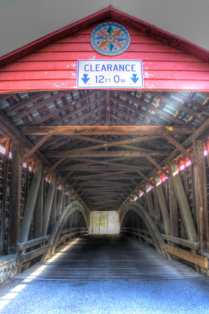
Griesemer's Mill Bridge over Manatawny Creek

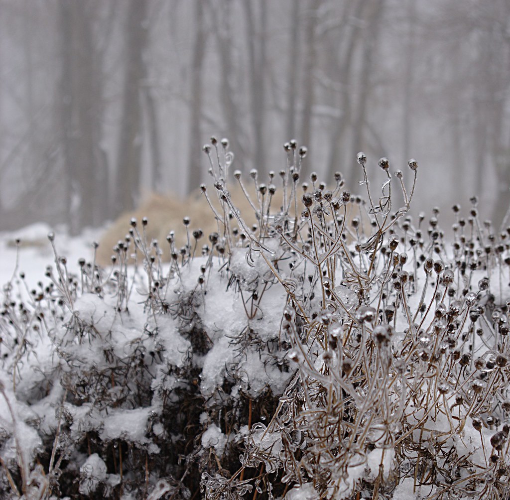
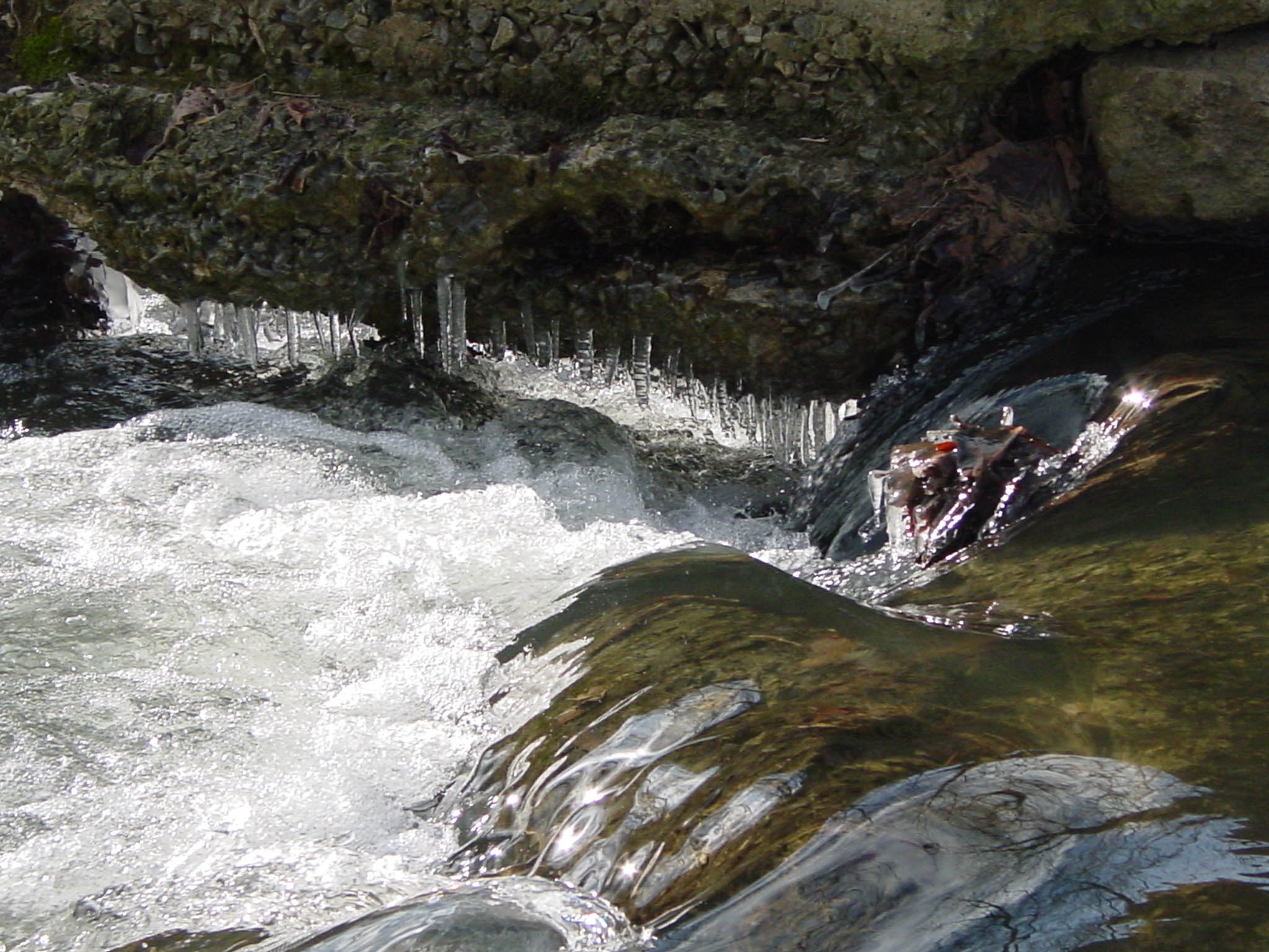
Ice Coated Plant
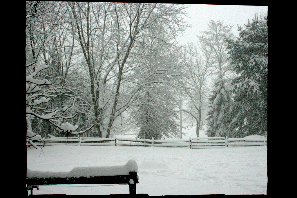
Winter Garden
Not a bad day.

IMG_2889.JPG
Green Lane/Perk Trail
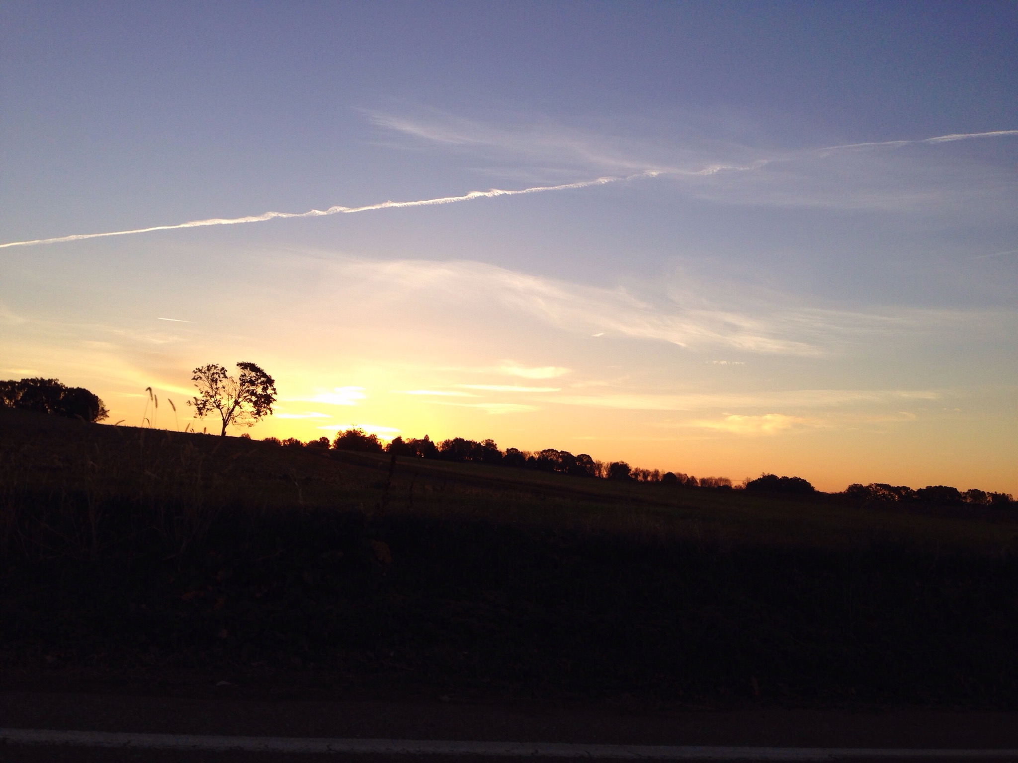
Happy tuesday, sunshine. Commuting Sunrise at French Creek School
DSC02749.jpg

Backyardwaterfall-2012-12-21
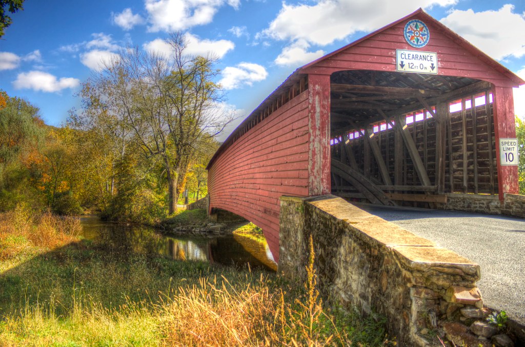
Griesemer's Mill Bridge over Manatawny Creek

doe and 2 fawns
River Front Park Pottstown, PA

Green Lane Reservoir

Griesemer's Mill Bridge over Manatawny Creek
Topographic Map of Colebrookdale Township, PA, USA
Find elevation by address:

Places in Colebrookdale Township, PA, USA:
Places near Colebrookdale Township, PA, USA:
168 Emerald Ln
308 W 6th St
1054 W Philadelphia Ave
Henry Ave, Boyertown, PA, USA
101 W 6th St
Boyertown
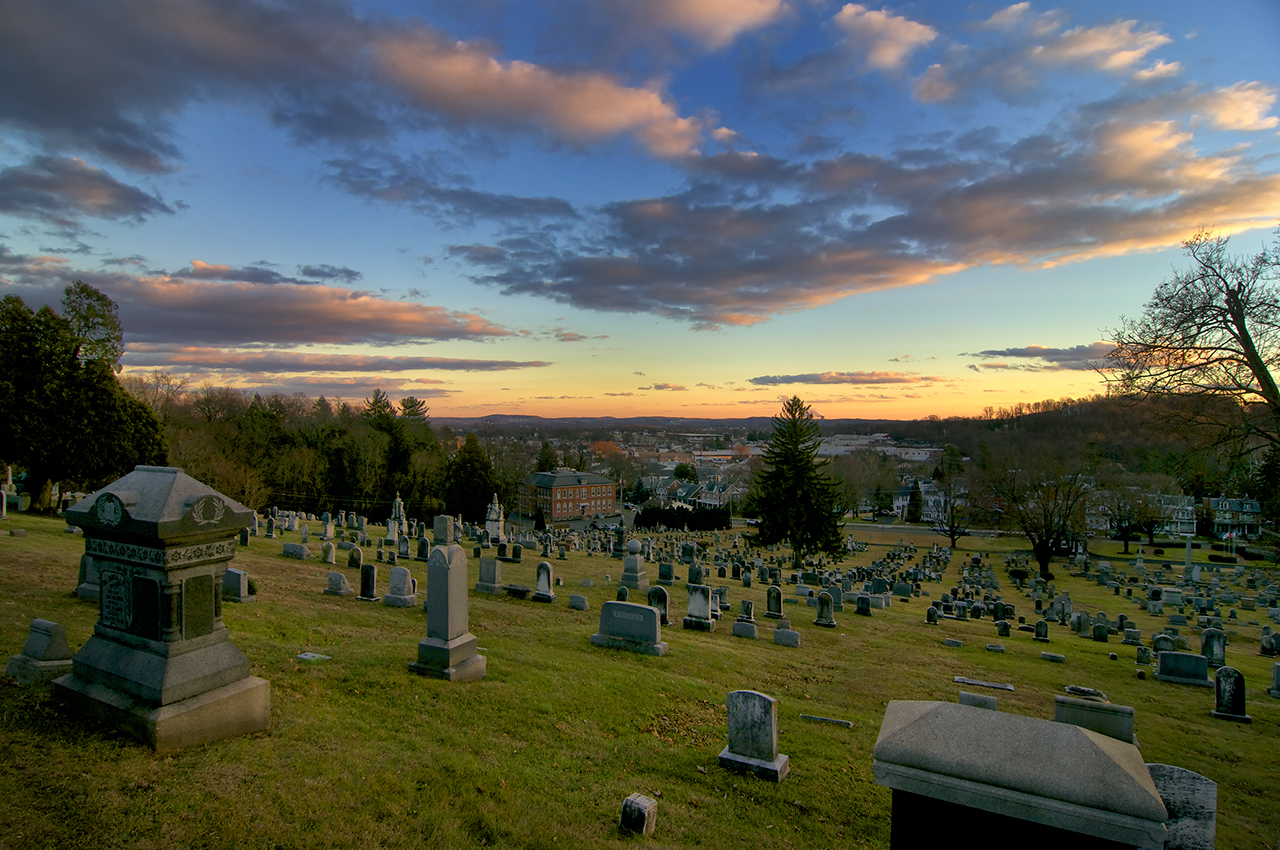
Union Cemetery
49 Blackberry Rd
79 Douglas St
Bechtelsville
Pine Road
12 Leffel Ln
Passmore Service Center
Hill Church Road
Hill Church Road
2136 Old Rte 100
Gilbertsville
40 Fern Dr
598 Evans Rd
3 Wards Way
Recent Searches:
- Elevation of Corso Fratelli Cairoli, 35, Macerata MC, Italy
- Elevation of Tallevast Rd, Sarasota, FL, USA
- Elevation of 4th St E, Sonoma, CA, USA
- Elevation of Black Hollow Rd, Pennsdale, PA, USA
- Elevation of Oakland Ave, Williamsport, PA, USA
- Elevation of Pedrógão Grande, Portugal
- Elevation of Klee Dr, Martinsburg, WV, USA
- Elevation of Via Roma, Pieranica CR, Italy
- Elevation of Tavkvetili Mountain, Georgia
- Elevation of Hartfords Bluff Cir, Mt Pleasant, SC, USA