Elevation of Heil, ND, USA
Location: United States > North Dakota > Grant County >
Longitude: -101.69986
Latitude: 46.3875069
Elevation: 704m / 2310feet
Barometric Pressure: 93KPa
Elevation Map:
Satellite Map:
Related Photos:

Sheep Creek Dam View

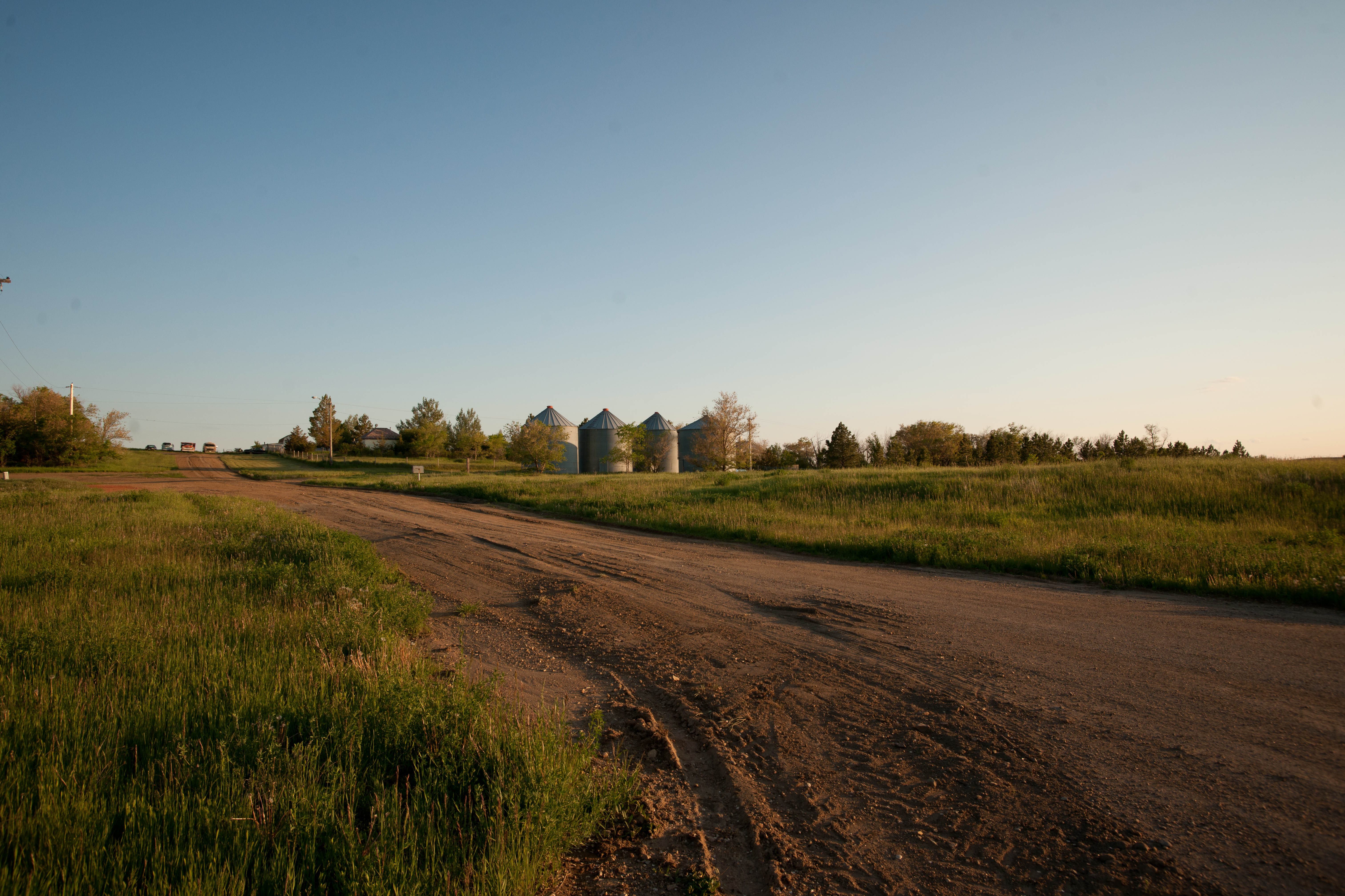
down the road

scenic view2

scenic view
Leith, North Dakota

Heil, North Dakota

Heil, North Dakota

Carson, North Dakota

Carson, North Dakota

Heil, North Dakota

Heil, North Dakota

Kaiser, North Dakota

Heil, North Dakota

Open Fields

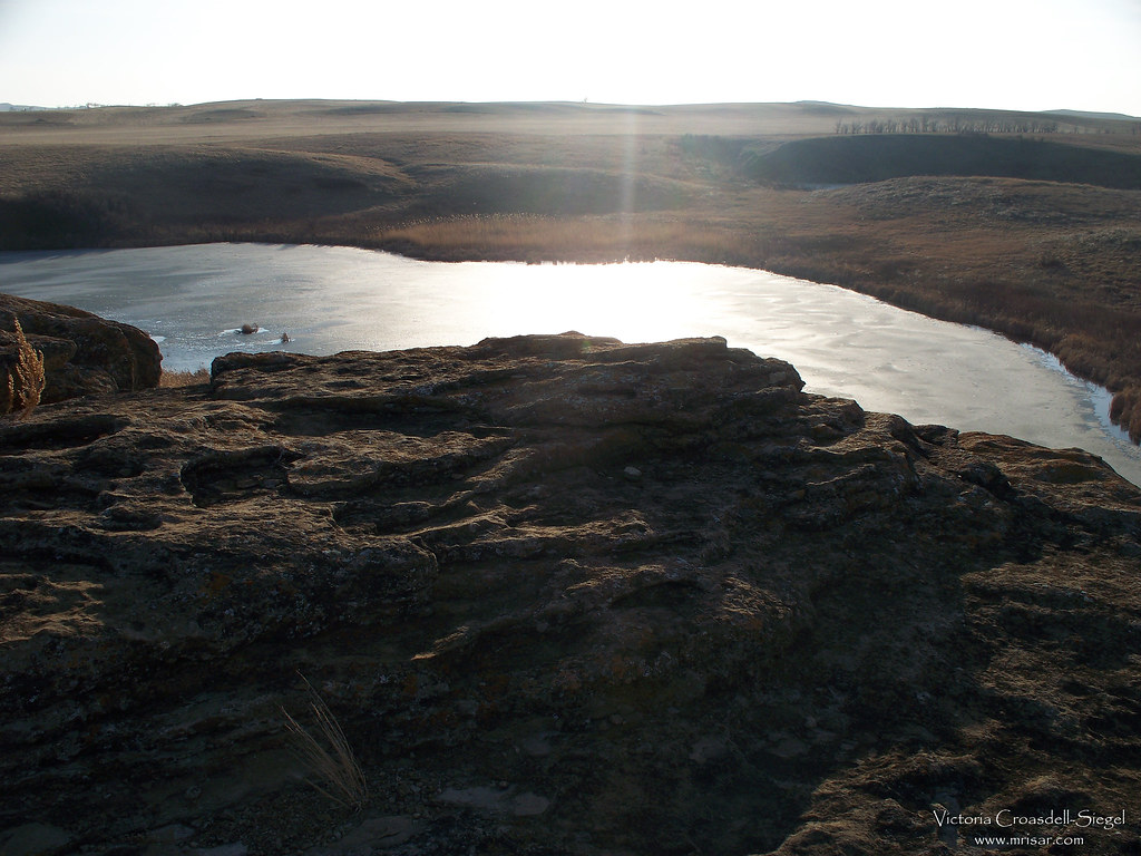
Sheep Creek Dam 1

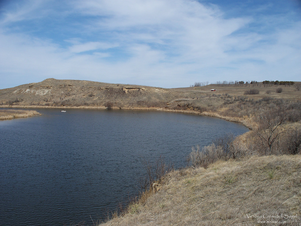
Sheep Creek Dam 5

abandoned in north dakota

Sheep Creek Dam 25

Sheep Creek Dam 2
Sheep Creek Dam 17

Sheep Creek Dam 26
Sheep Creek Dam 13

Sheep Creek Dam 4
Topographic Map of Heil, ND, USA
Find elevation by address:

Places in Heil, ND, USA:
Places near Heil, ND, USA:
Leith
5645 73rd St Sw
Grant County
East Grant
Mott
Lemmon
Hettinger County
Adams County
Hettinger
S Main St, Hettinger, ND, USA
Recent Searches:
- Elevation of Corso Fratelli Cairoli, 35, Macerata MC, Italy
- Elevation of Tallevast Rd, Sarasota, FL, USA
- Elevation of 4th St E, Sonoma, CA, USA
- Elevation of Black Hollow Rd, Pennsdale, PA, USA
- Elevation of Oakland Ave, Williamsport, PA, USA
- Elevation of Pedrógão Grande, Portugal
- Elevation of Klee Dr, Martinsburg, WV, USA
- Elevation of Via Roma, Pieranica CR, Italy
- Elevation of Tavkvetili Mountain, Georgia
- Elevation of Hartfords Bluff Cir, Mt Pleasant, SC, USA