Elevation of Heho Airport, He Hoe, Myanmar (Burma)
Location: Myanmar (burma) > Shan > Taunggyi > He Hoe >
Longitude: 96.792778
Latitude: 20.743056
Elevation: 1184m / 3885feet
Barometric Pressure: 88KPa
Elevation Map:
Satellite Map:
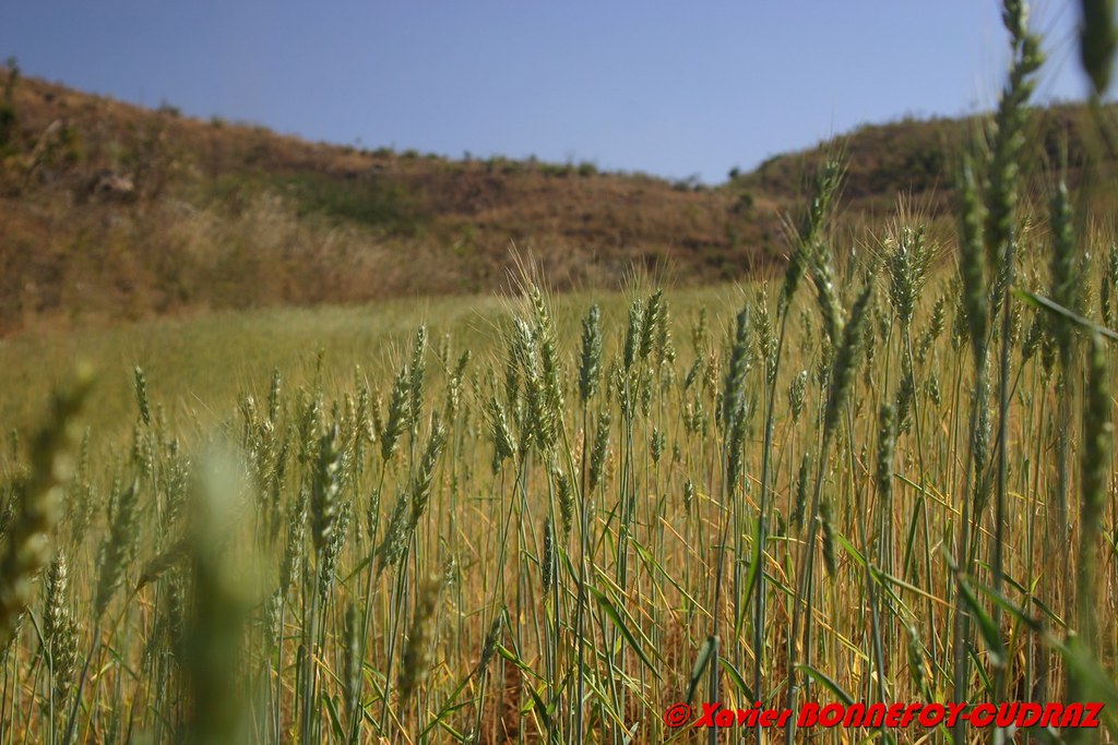
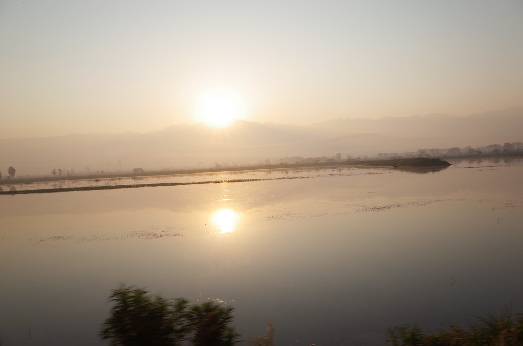
Related Photos:

242 - Day 13 Heho - A very cool early boat ride across the lake then a taxi ride to Heho airport for a propellered plane ride back to Yangon.

Colorful Fabrics in the He Hoe market
Myanmar Shan State _D7C19699
View from the road, Nyaung Shwe

Myanmar_2013-02-14_10_42_46_ND800E_00894_1525_S

Pindaya-3

Pindaya-3

IMG_4839_40_41-Edit

P2072492 Pano Myanmar trekking 3 dias de Kalaw a Inle Lake
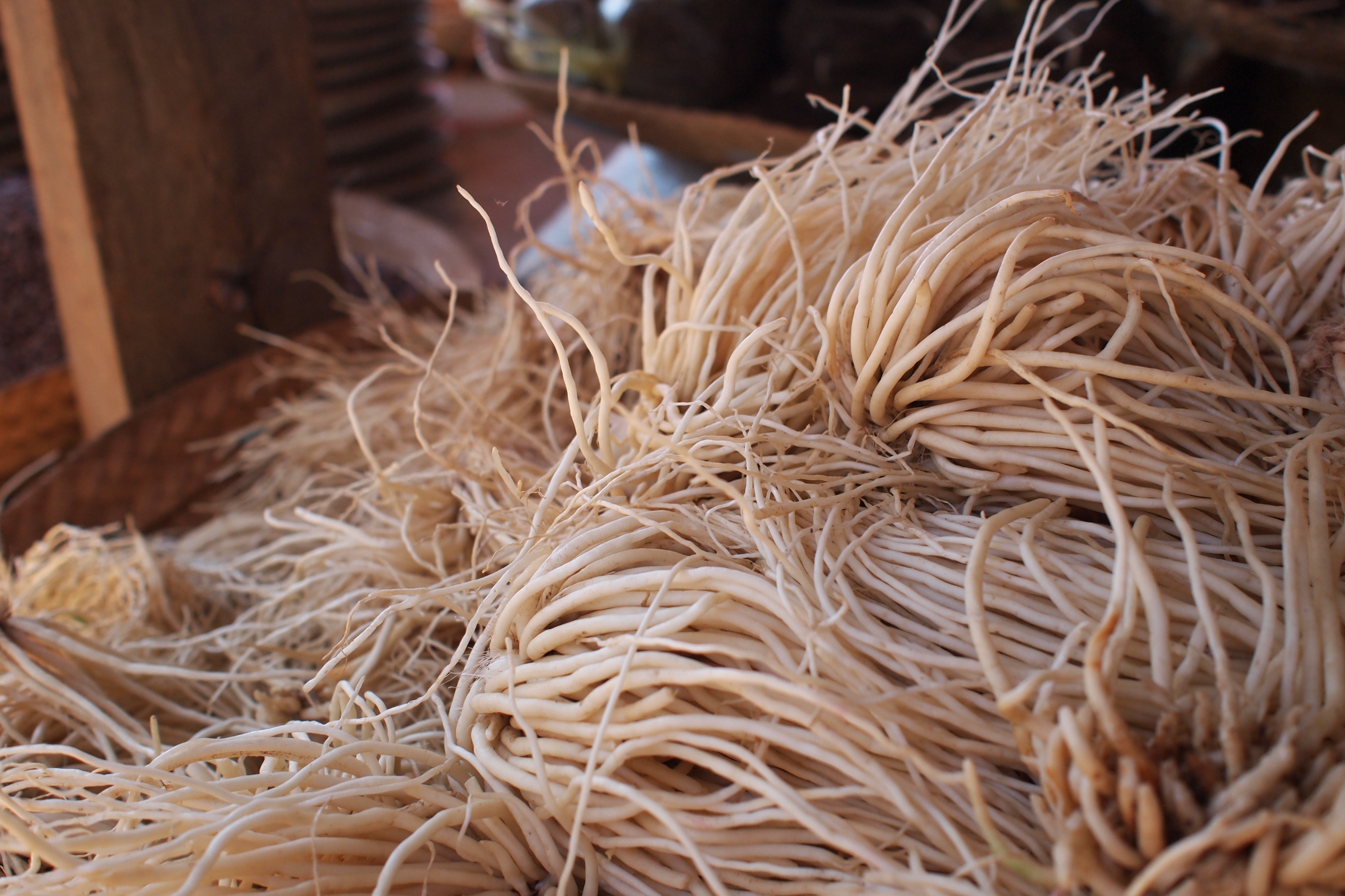
ヘーホーのマーケット ショウガの一種
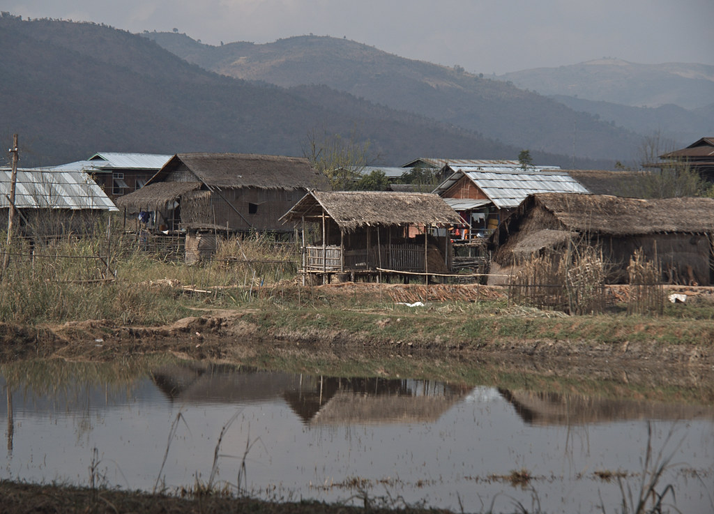
Nyaung Shwe Hills
Nyaung Shwe Hills

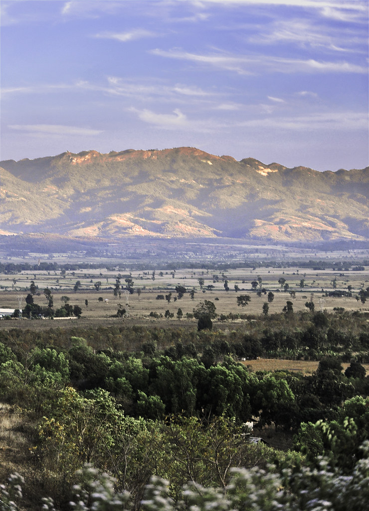
Single Tree
R0081483.JPG
Topographic Map of Heho Airport, He Hoe, Myanmar (Burma)
Find elevation by address:

Places near Heho Airport, He Hoe, Myanmar (Burma):
He Hoe
Taunggyi
Nyaungshwe
Aungpan
Shwe Lin Ban
Inle Lake
Pindaya
Pindaya
Pindaya Caves
Htwet Ni
See Kya Inn
Myoma Monastery
Kalaw
Phaung Daw Oo Paya Pagoda, Ywama Village
Nyaungshwe
Nampan
Pinlaung
Yamethin
Pyawbwe
Shwemyo
Recent Searches:
- Elevation of Corso Fratelli Cairoli, 35, Macerata MC, Italy
- Elevation of Tallevast Rd, Sarasota, FL, USA
- Elevation of 4th St E, Sonoma, CA, USA
- Elevation of Black Hollow Rd, Pennsdale, PA, USA
- Elevation of Oakland Ave, Williamsport, PA, USA
- Elevation of Pedrógão Grande, Portugal
- Elevation of Klee Dr, Martinsburg, WV, USA
- Elevation of Via Roma, Pieranica CR, Italy
- Elevation of Tavkvetili Mountain, Georgia
- Elevation of Hartfords Bluff Cir, Mt Pleasant, SC, USA