Elevation of Head Waters, VA, USA
Location: United States > Virginia > Highland County > Stonewall >
Longitude: -79.413199
Latitude: 38.3263686
Elevation: 628m / 2060feet
Barometric Pressure: 94KPa
Elevation Map:
Satellite Map:
Related Photos:

Highland County Museum

Sugar Tree Country Store
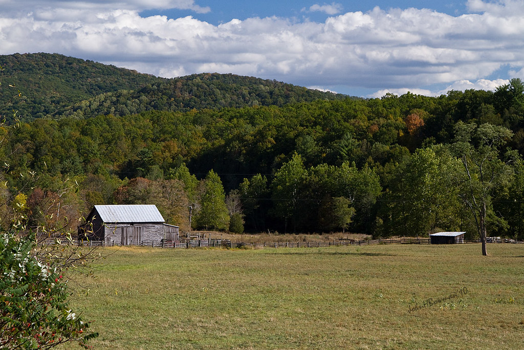
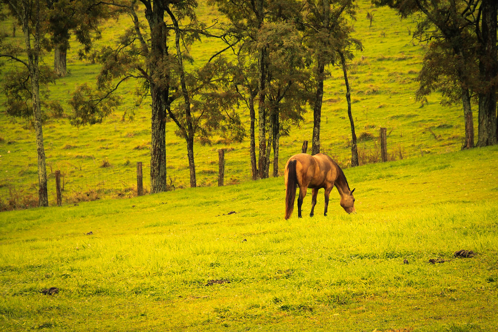
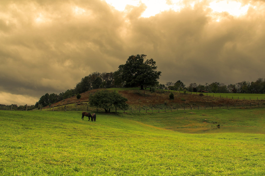
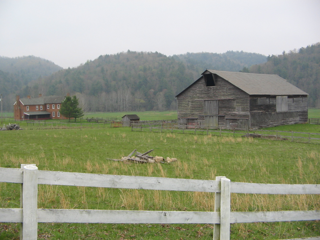
Highland Farm
Highland Maple Festival - Wintry Vista

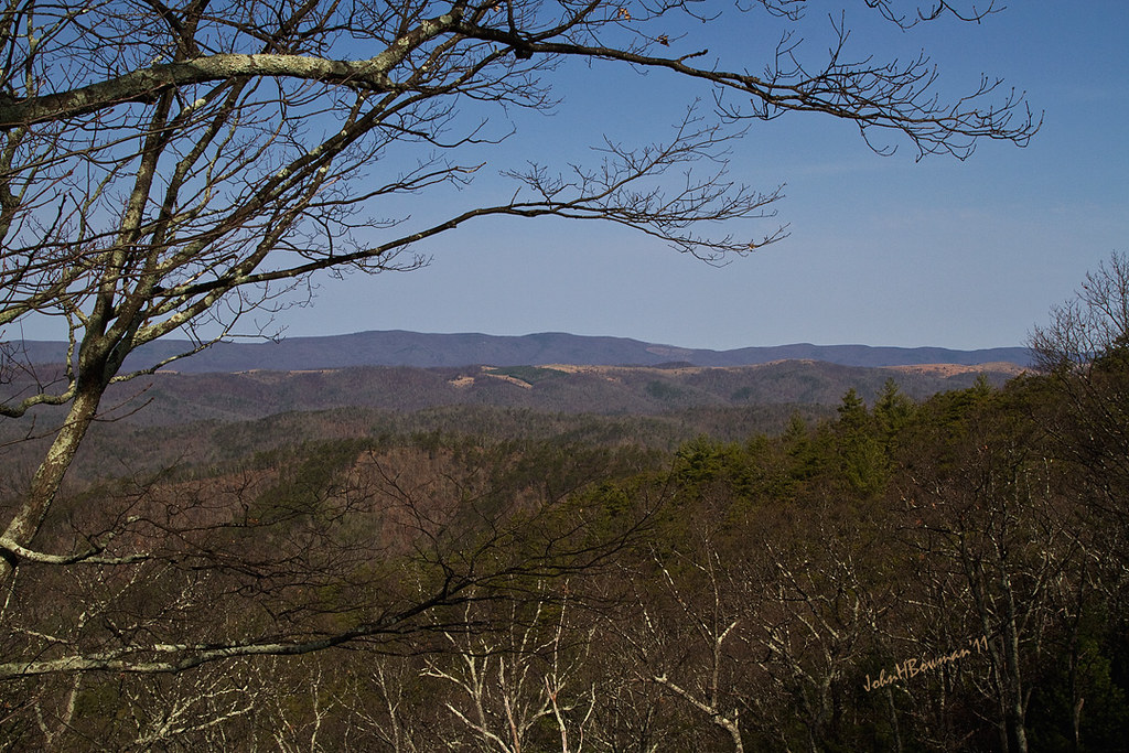
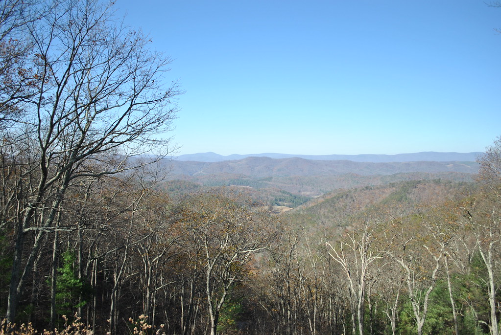
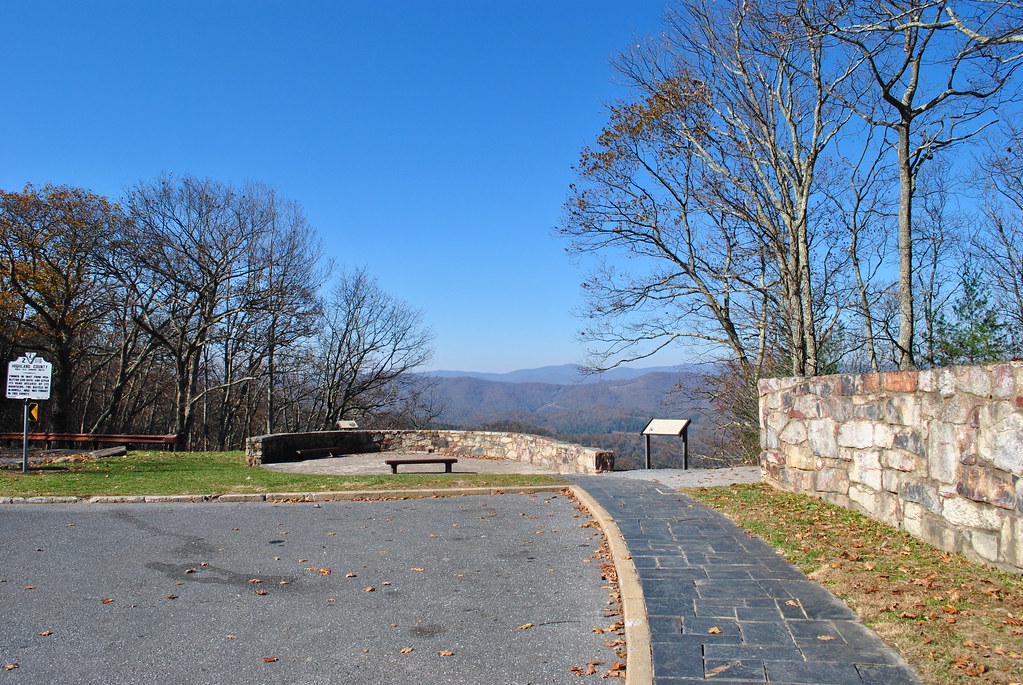
The view from the top
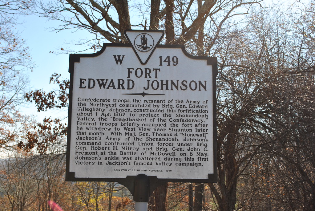
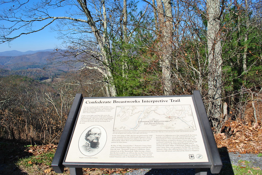
FORT EDWARD JOHNSON

FORT EDWARD JOHNSON
IMG_2679.JPG

CONFEDERATE BREAST WORKS

MMB - August 2009
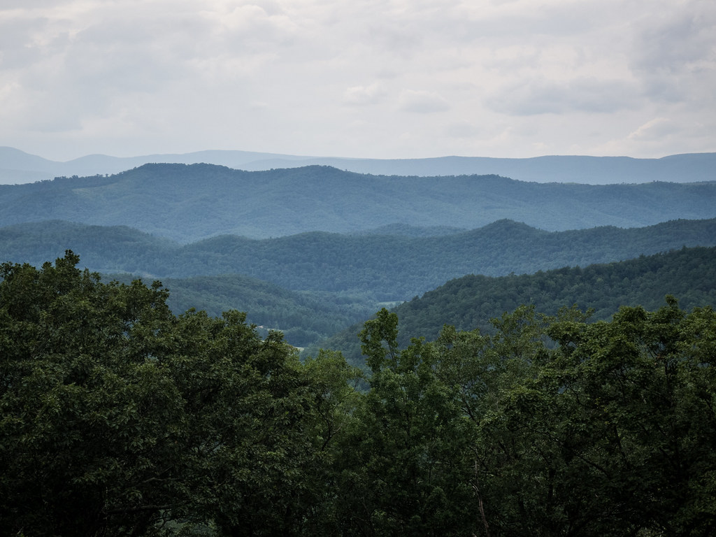
SHENANDOAH MOUNTAIN
Virginia Scenic View

MMB - August 2009
SHENANDOAH MOUNTAIN

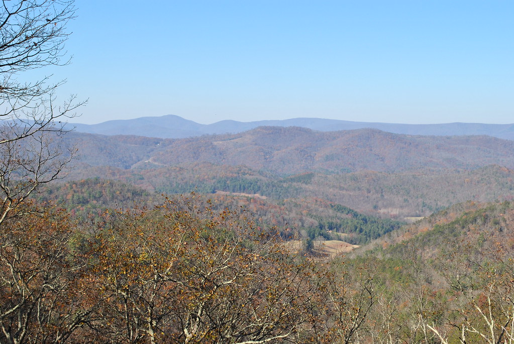
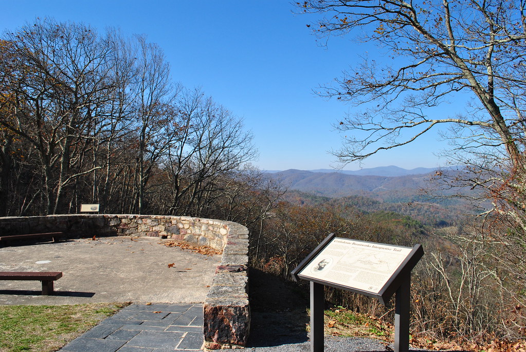
View from Fort Edward Johnson
View from Fort Edward Johnson
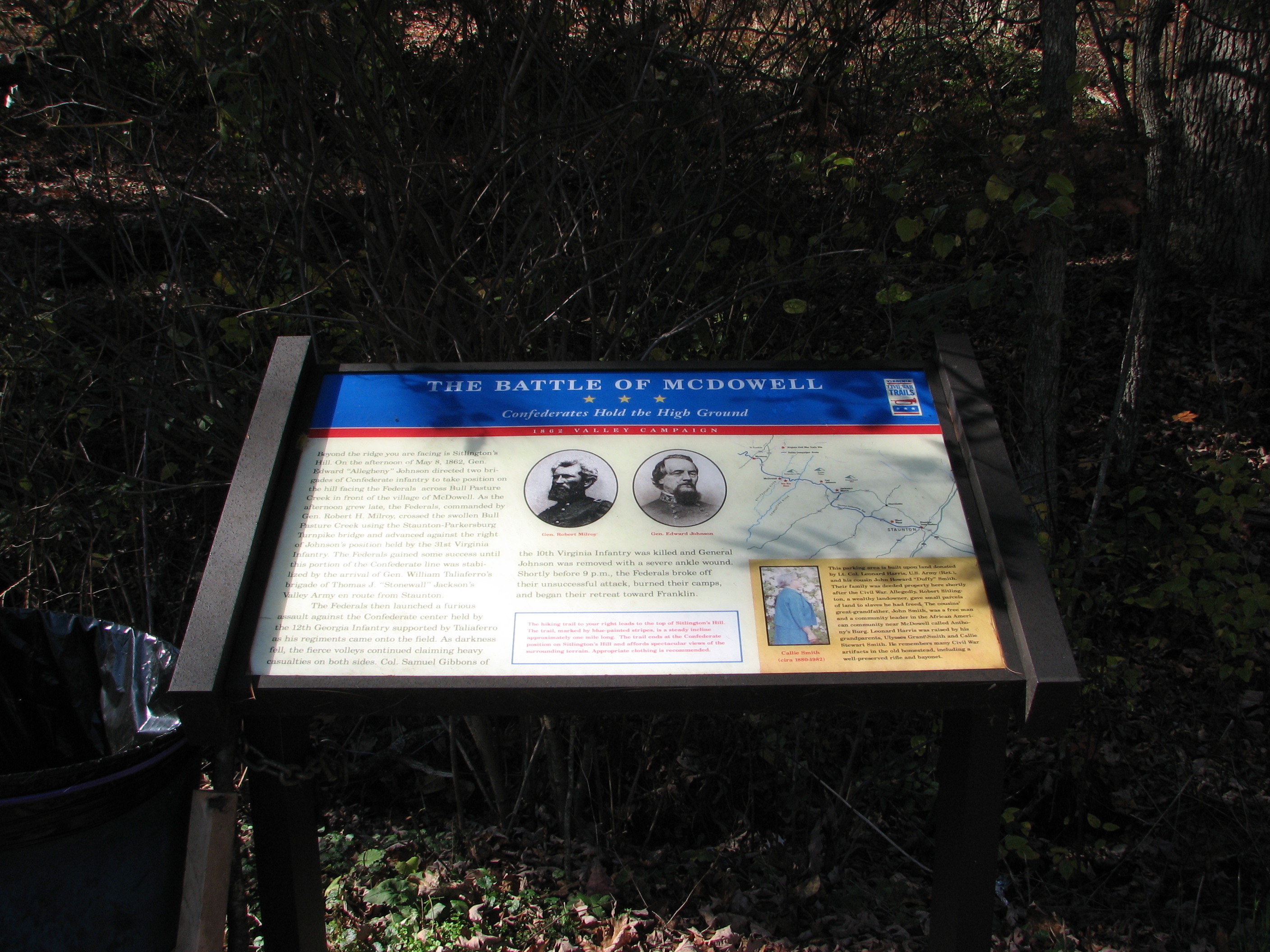
CIVIL WAR MARKER

Chris hikes the Breastworks
SHENANDOAH MOUNTAIN
SHENANDOAH MOUNTAIN

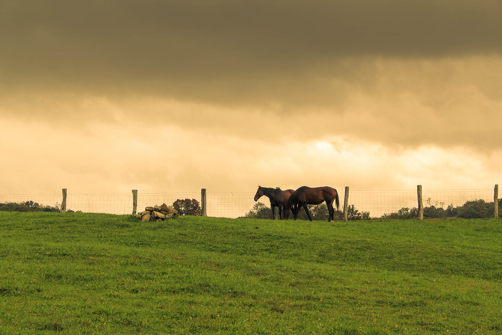
The Ranch
September 18, 2012-IMG_8020
September 18, 2012-IMG_8090
September 18, 2012-IMG_8096

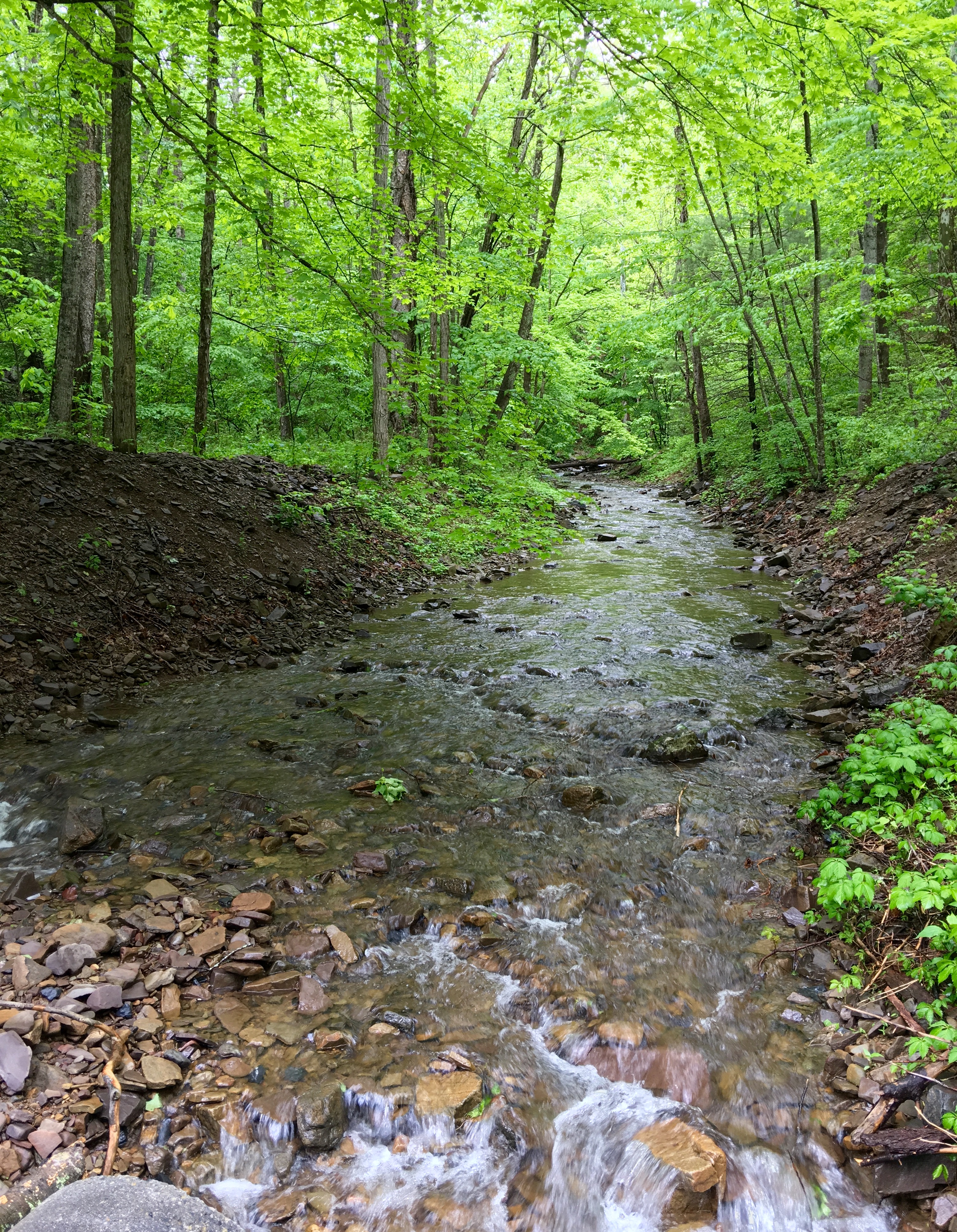
Winter Stream II

Bluegrass Valley
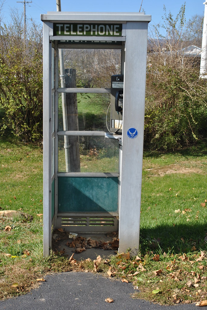
WORKING TELEPHONE BOOTH

Highland County
Highland County
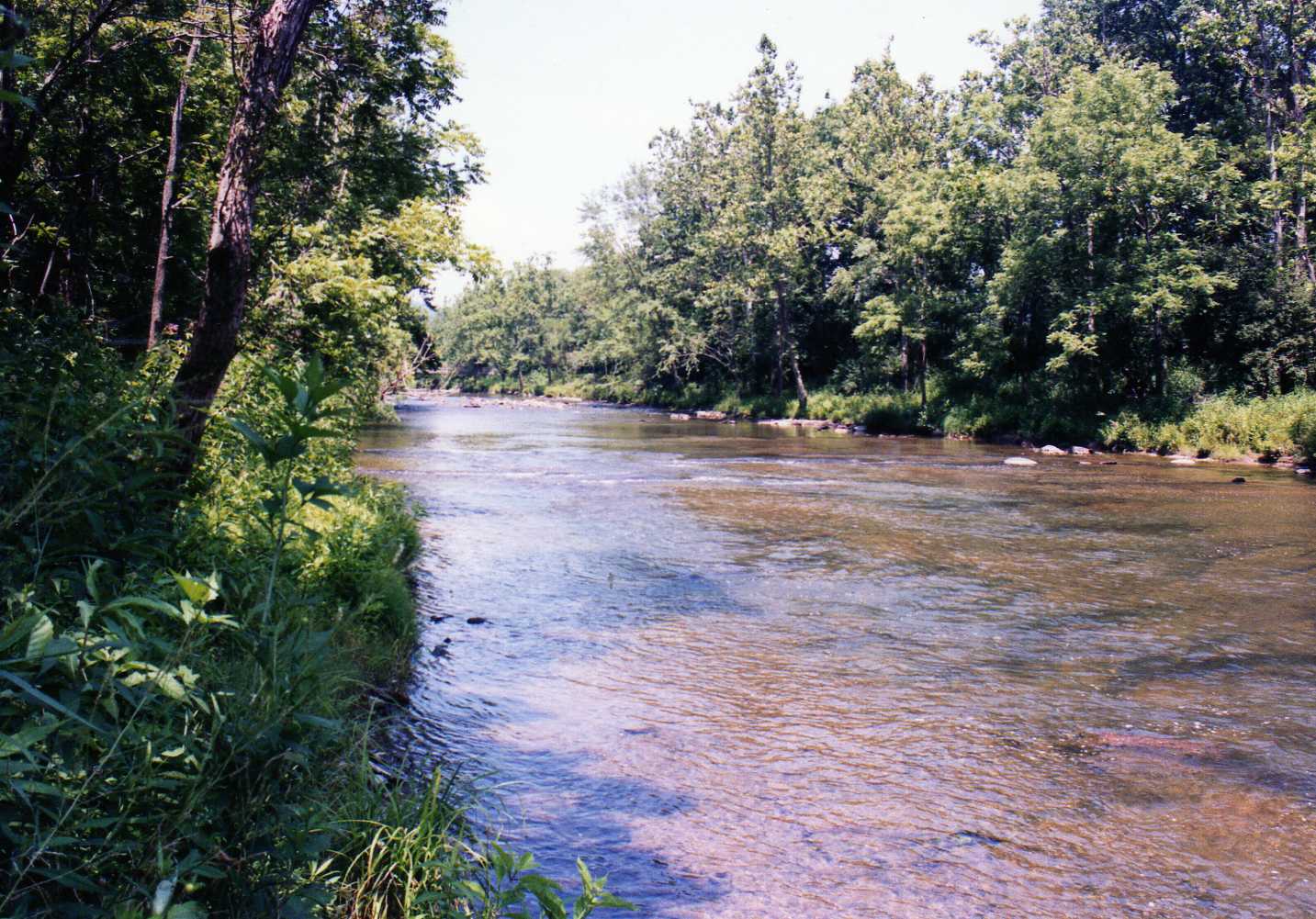
Cowpasture River

Clover Creek Presbyterian Church

Highland County
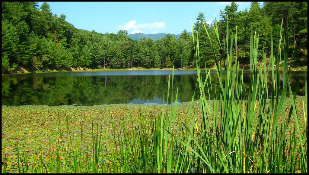
Braley Pond
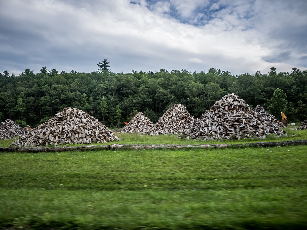
Wood Piles in Virginia

IMG_4807.JPG
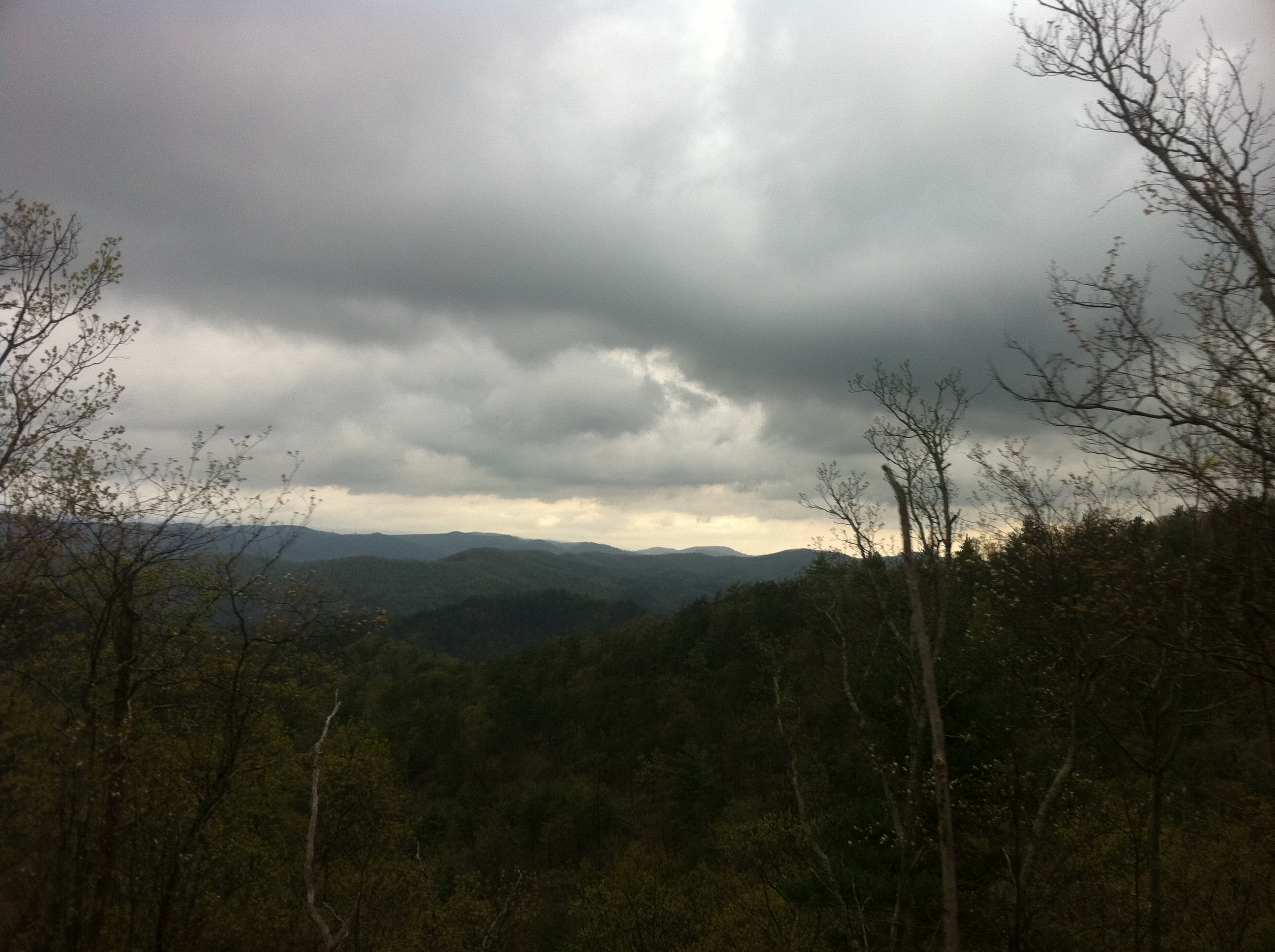
Mountains and Clouds
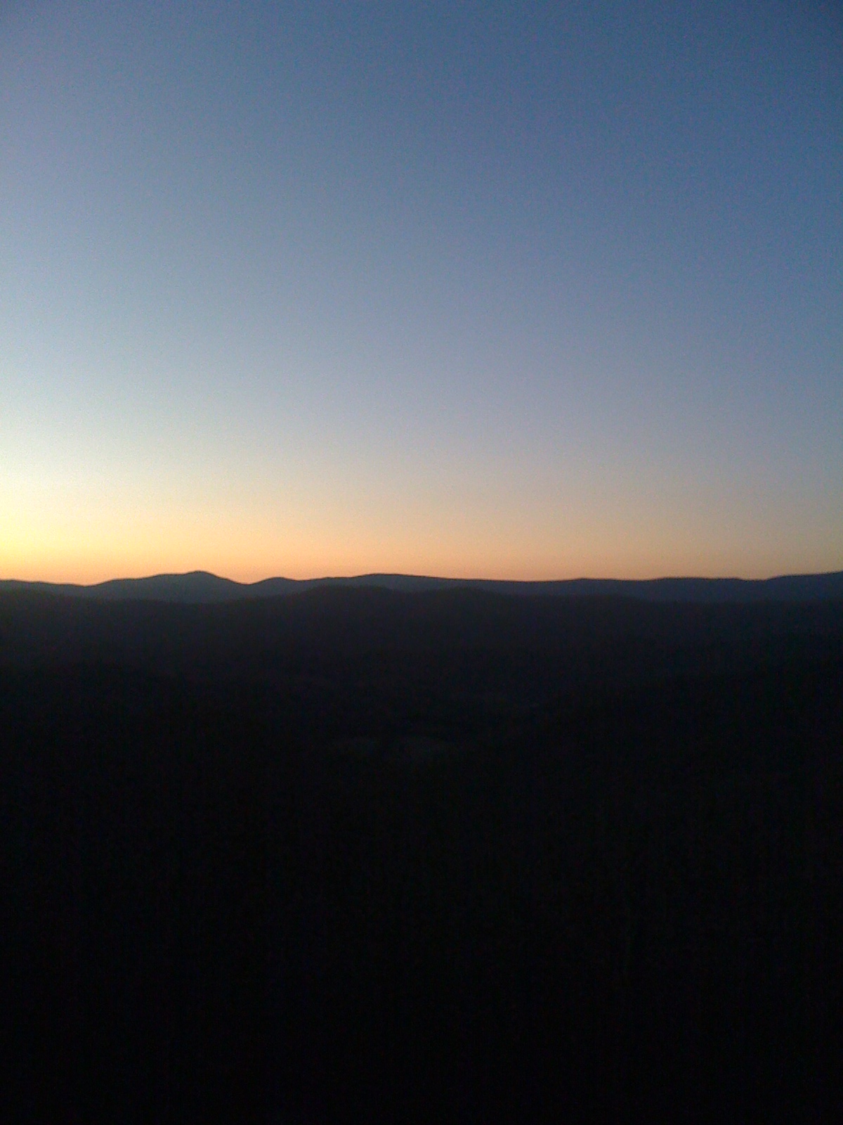
Sunset Glow in the Mountains of Virginia
Civil War Seminars and Tours
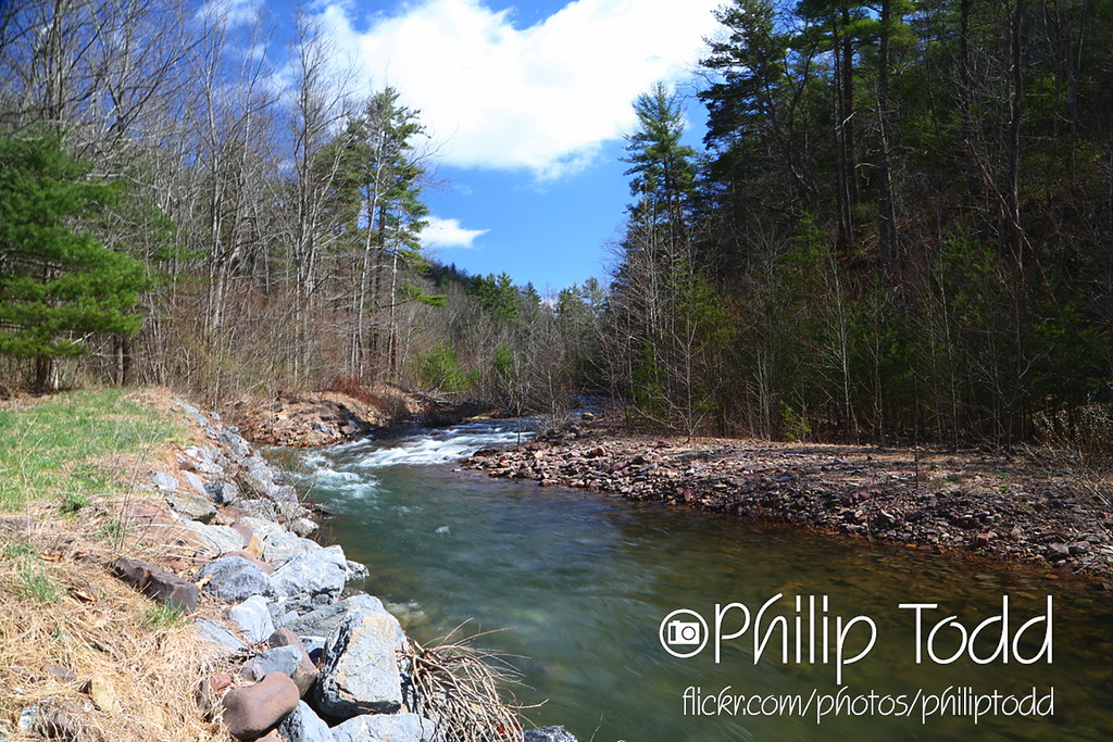
2013-4-13 Jerrys Run QQ1A1518x1152
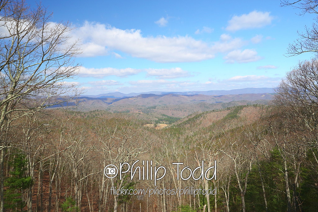
2013-4-13 overlook QQ1A1480x1152
Topographic Map of Head Waters, VA, USA
Find elevation by address:

Places near Head Waters, VA, USA:
Head Waters, VA, USA
Stonewall
Bertie Lane
Mcdowell
7192 Doe Hill Rd
7463 Doe Hill Rd
Doe Hill
7595 Doe Hill Rd
Jack Mountain Road
2991 Old Parkersburg Turnpike
Deerfield Valley Road
West Augusta
810 Braley Pond Rd
Sugar Grove, WV, USA
Deerfield
3090 Deerfield Valley Rd
2561 Old Parkersburg Turnpike
3292 Deerfield Valley Rd
Pastures
Hug Hart Fort Ln, Deerfield, VA, USA
Recent Searches:
- Elevation of Corso Fratelli Cairoli, 35, Macerata MC, Italy
- Elevation of Tallevast Rd, Sarasota, FL, USA
- Elevation of 4th St E, Sonoma, CA, USA
- Elevation of Black Hollow Rd, Pennsdale, PA, USA
- Elevation of Oakland Ave, Williamsport, PA, USA
- Elevation of Pedrógão Grande, Portugal
- Elevation of Klee Dr, Martinsburg, WV, USA
- Elevation of Via Roma, Pieranica CR, Italy
- Elevation of Tavkvetili Mountain, Georgia
- Elevation of Hartfords Bluff Cir, Mt Pleasant, SC, USA