Elevation of Hayfork Bally, Hayfork, CA, USA
Location: United States > California > Trinity County > Hayfork >
Longitude: -123.21919
Latitude: 40.6587538
Elevation: 1864m / 6115feet
Barometric Pressure: 81KPa
Elevation Map:
Satellite Map:
Related Photos:
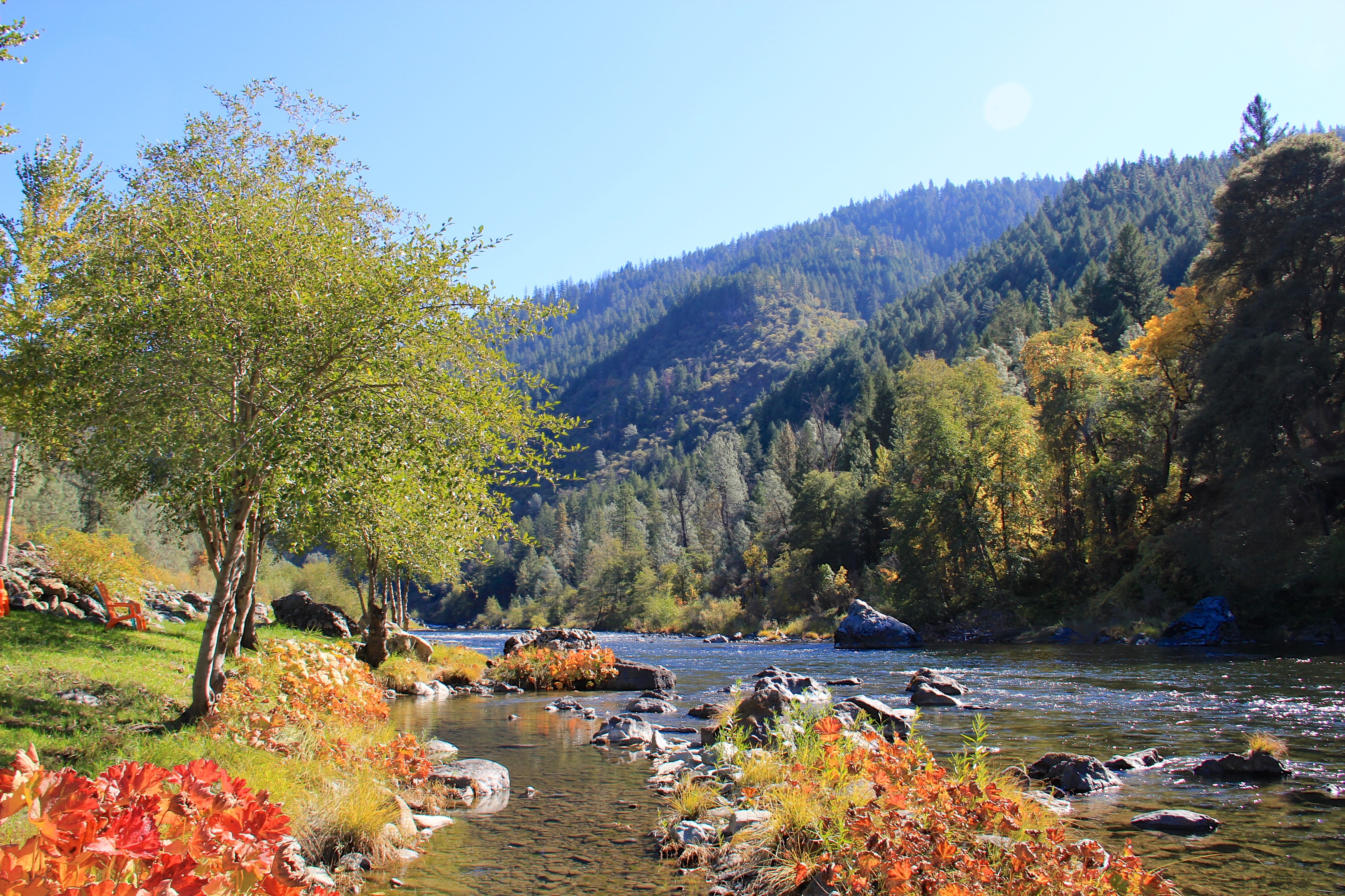
View of river from Strawhouse Cafè
Topographic Map of Hayfork Bally, Hayfork, CA, USA
Find elevation by address:

Places near Hayfork Bally, Hayfork, CA, USA:
420 Price Creek Rd
Big Bar
Hayfork
Garden Hwy, Junction City, CA, USA
Trinity County
CA-, Big Bar, CA, USA
Chagdud Gonpa
Junction City
570 3 Hills Rd
850 Ponderosa Rd
1315 Tucker Hill Rd
Steiner Flat Rd, Douglas City, CA, USA
Douglas City
Weaverville
Weaver Bally Fire Lookout
Chanchelulla Peak
2890 Wildwood Rd
251 Wilson Mountain Rd
Wildwood Rd, Wildwood, CA, USA
Wildwood
Recent Searches:
- Elevation of Corso Fratelli Cairoli, 35, Macerata MC, Italy
- Elevation of Tallevast Rd, Sarasota, FL, USA
- Elevation of 4th St E, Sonoma, CA, USA
- Elevation of Black Hollow Rd, Pennsdale, PA, USA
- Elevation of Oakland Ave, Williamsport, PA, USA
- Elevation of Pedrógão Grande, Portugal
- Elevation of Klee Dr, Martinsburg, WV, USA
- Elevation of Via Roma, Pieranica CR, Italy
- Elevation of Tavkvetili Mountain, Georgia
- Elevation of Hartfords Bluff Cir, Mt Pleasant, SC, USA