Elevation of Hawley, TX, USA
Location: United States > Texas > Jones County >
Longitude: -99.814258
Latitude: 32.6120643
Elevation: 500m / 1640feet
Barometric Pressure: 95KPa
Elevation Map:
Satellite Map:
Related Photos:
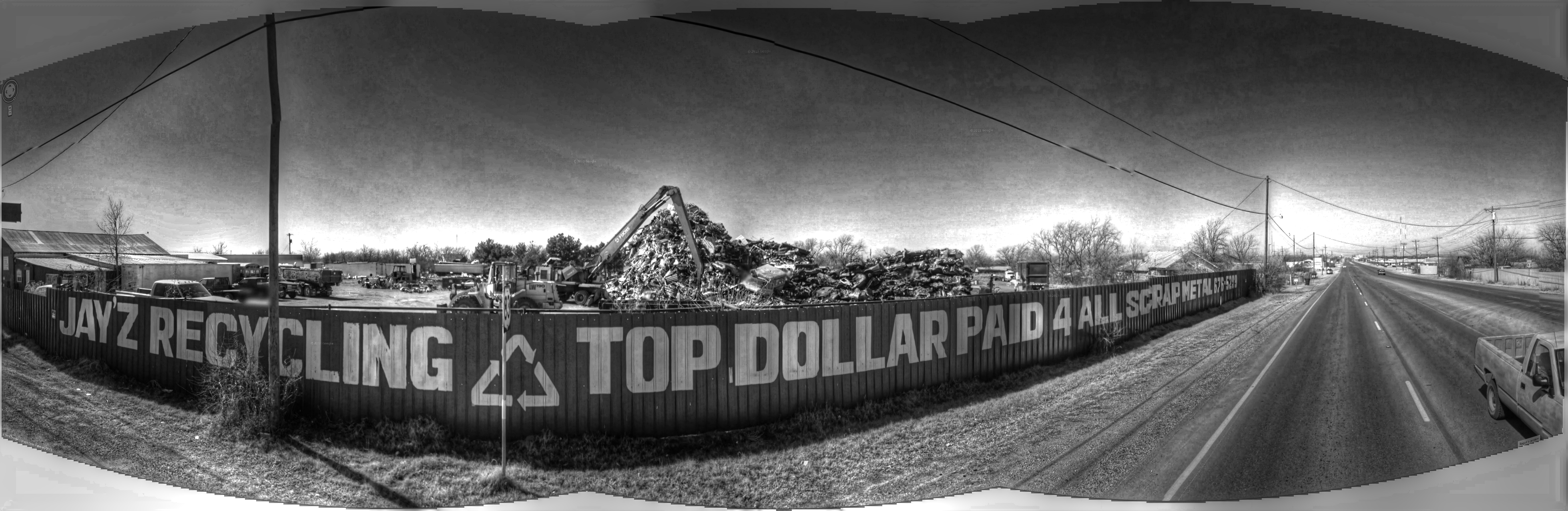
Scrap metal

Anson Sunset

P8280037.10

P8280019.10

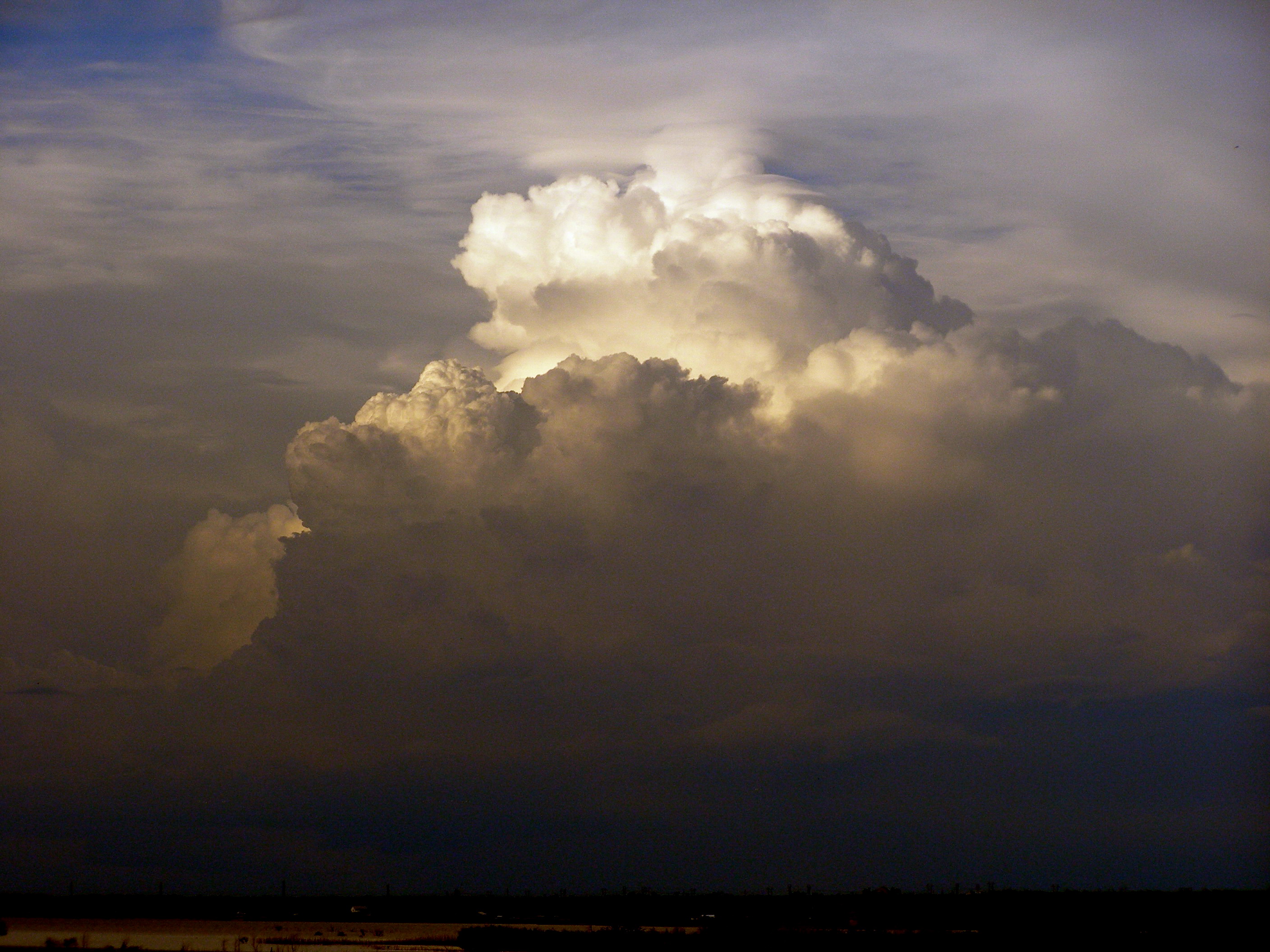
Storm Clouds
P8280043.20

P8280092.10

P8280019.20

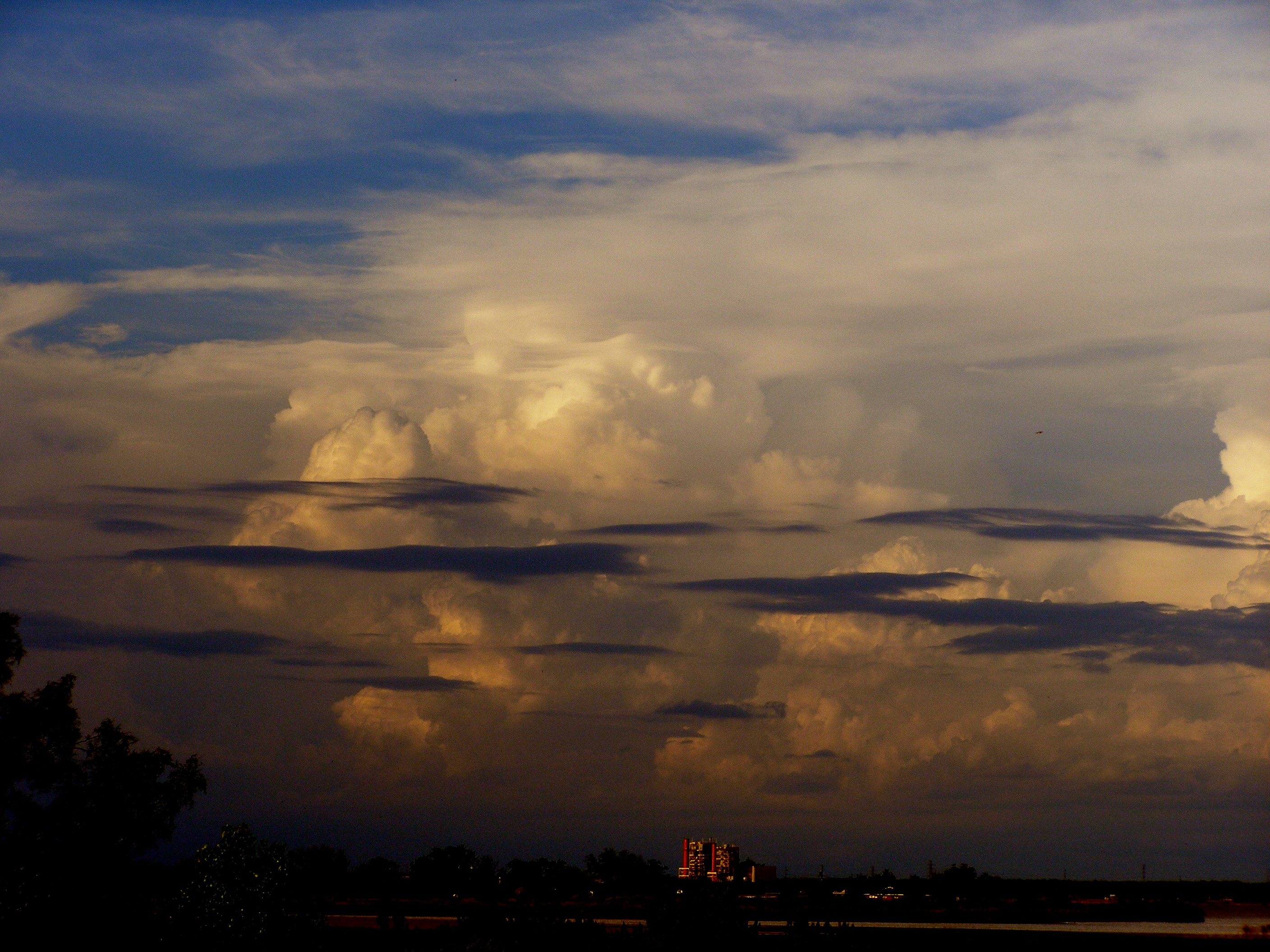
Layered Storm

P8280096.10

P8280054.20
P8280008.10

P8280081.10
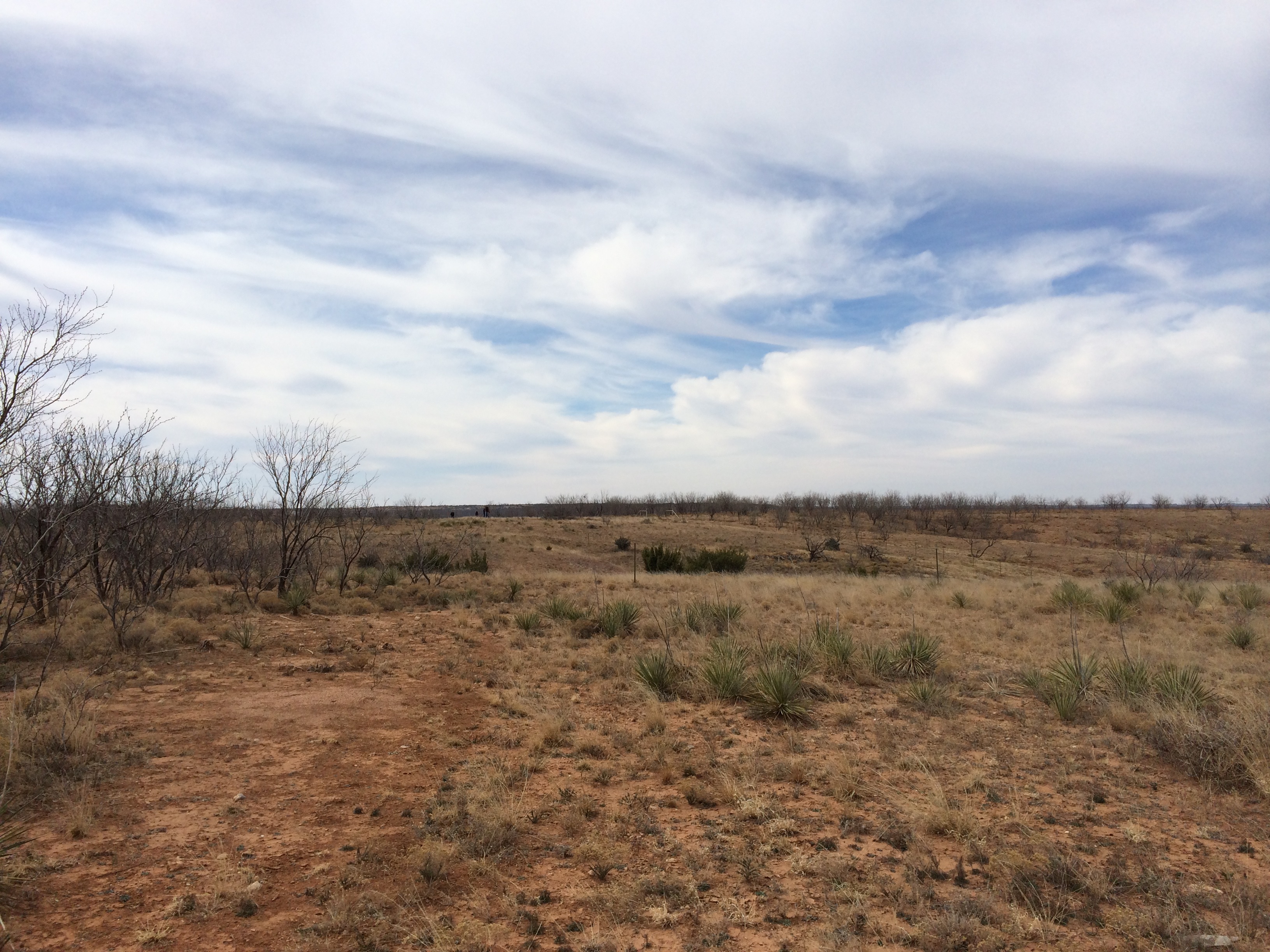
West Texas Sky

The Mighty Mesquite
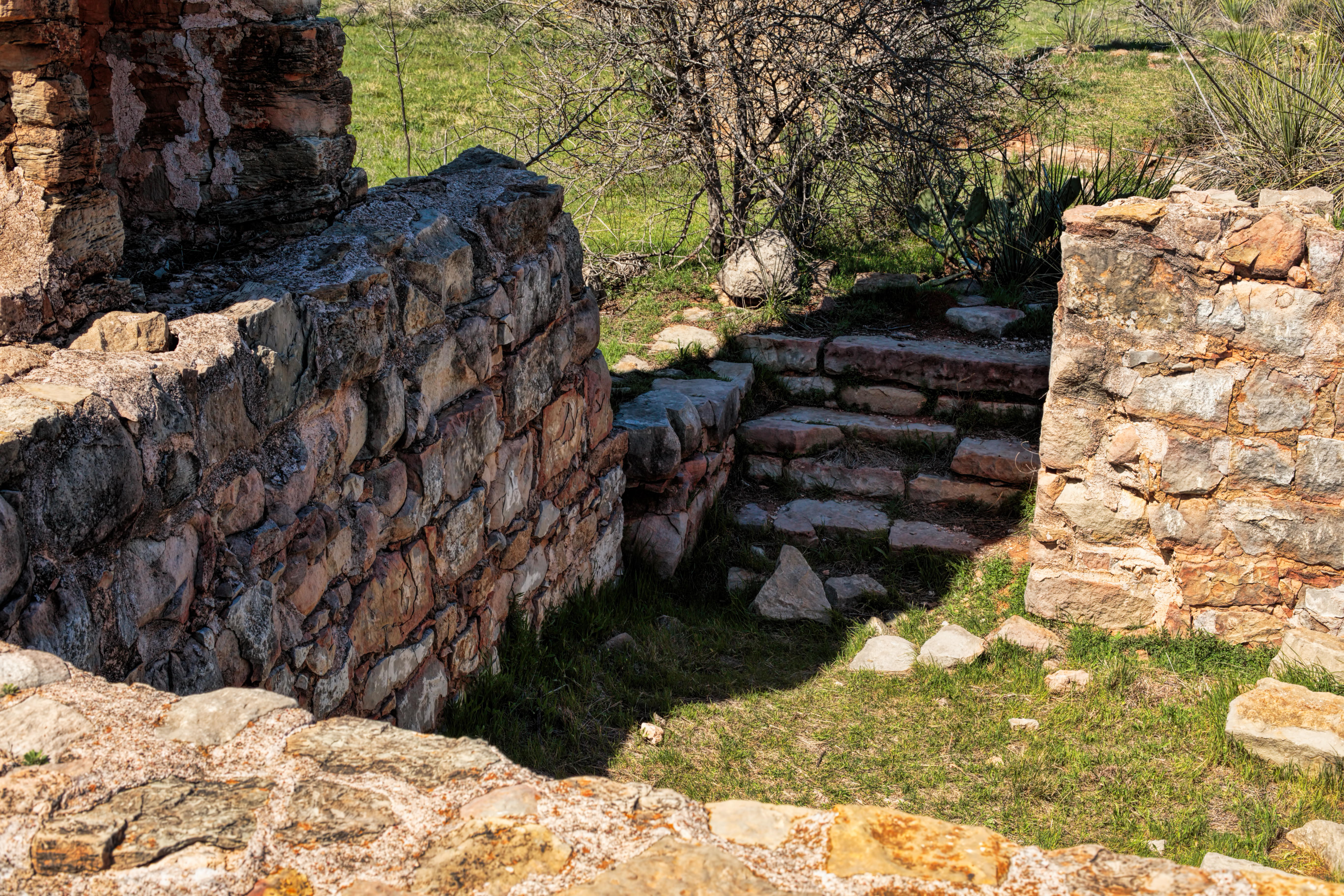
Phantom Hill Basement

Project 365 023
Johnson Park2

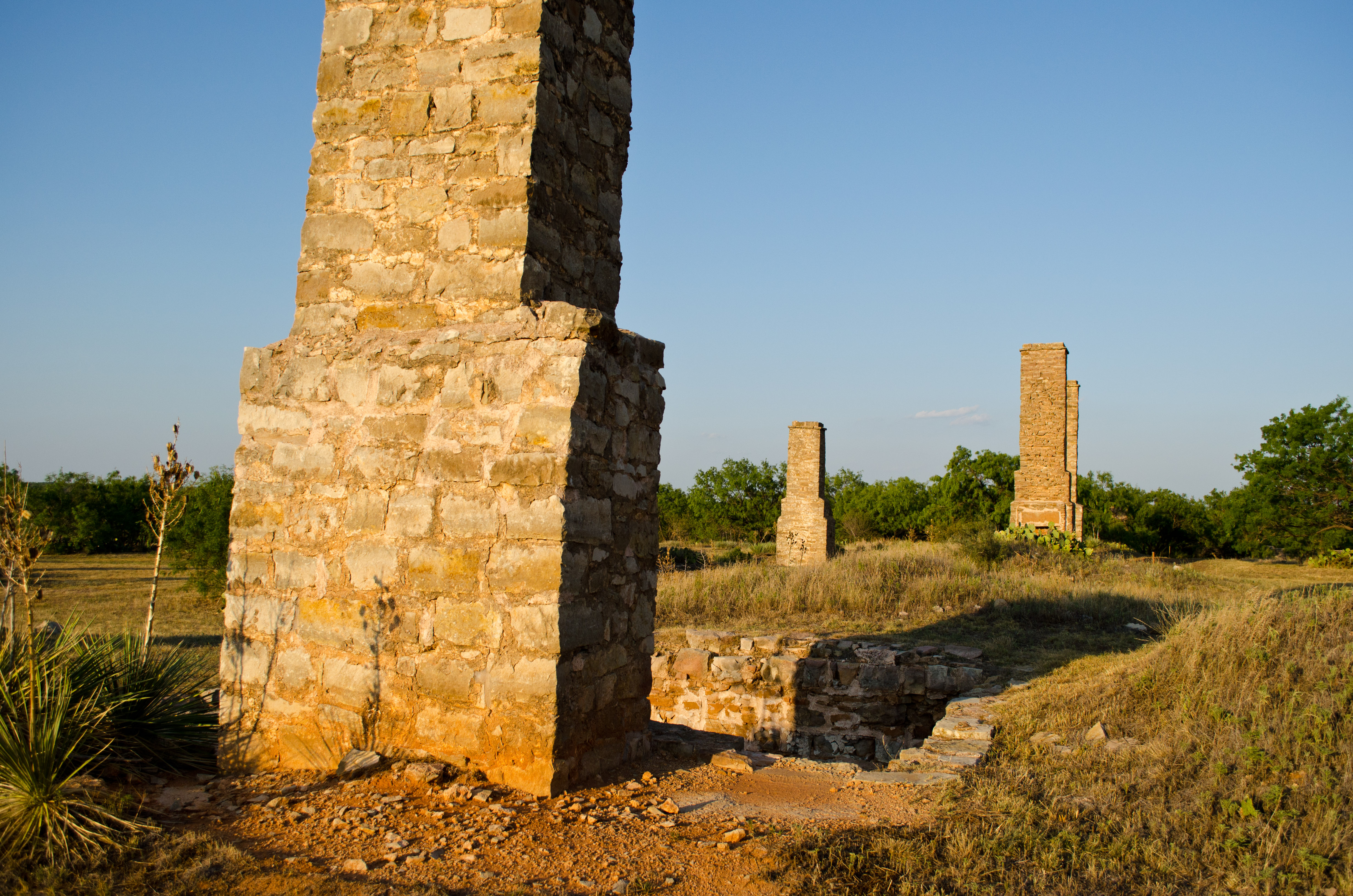
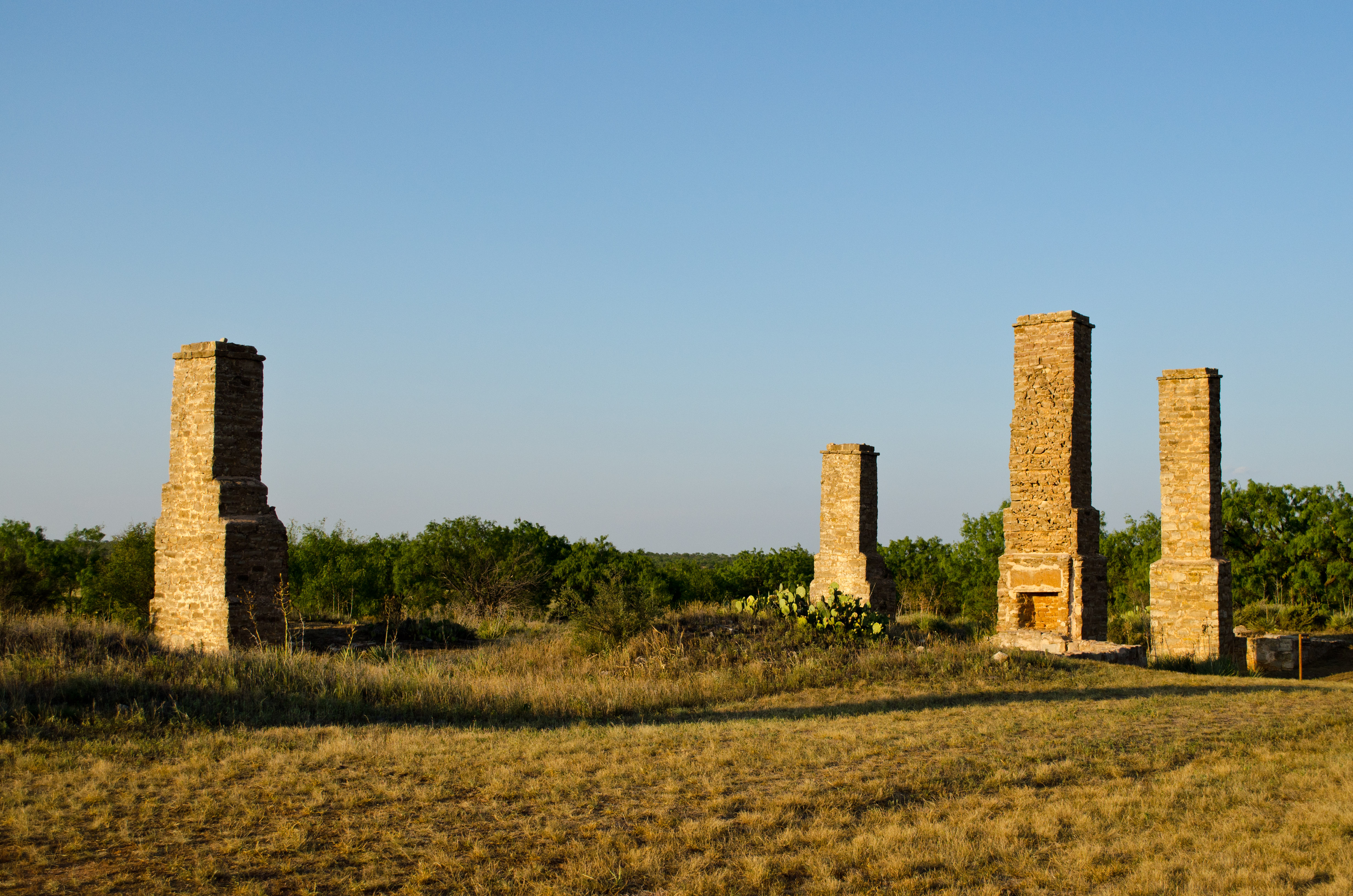
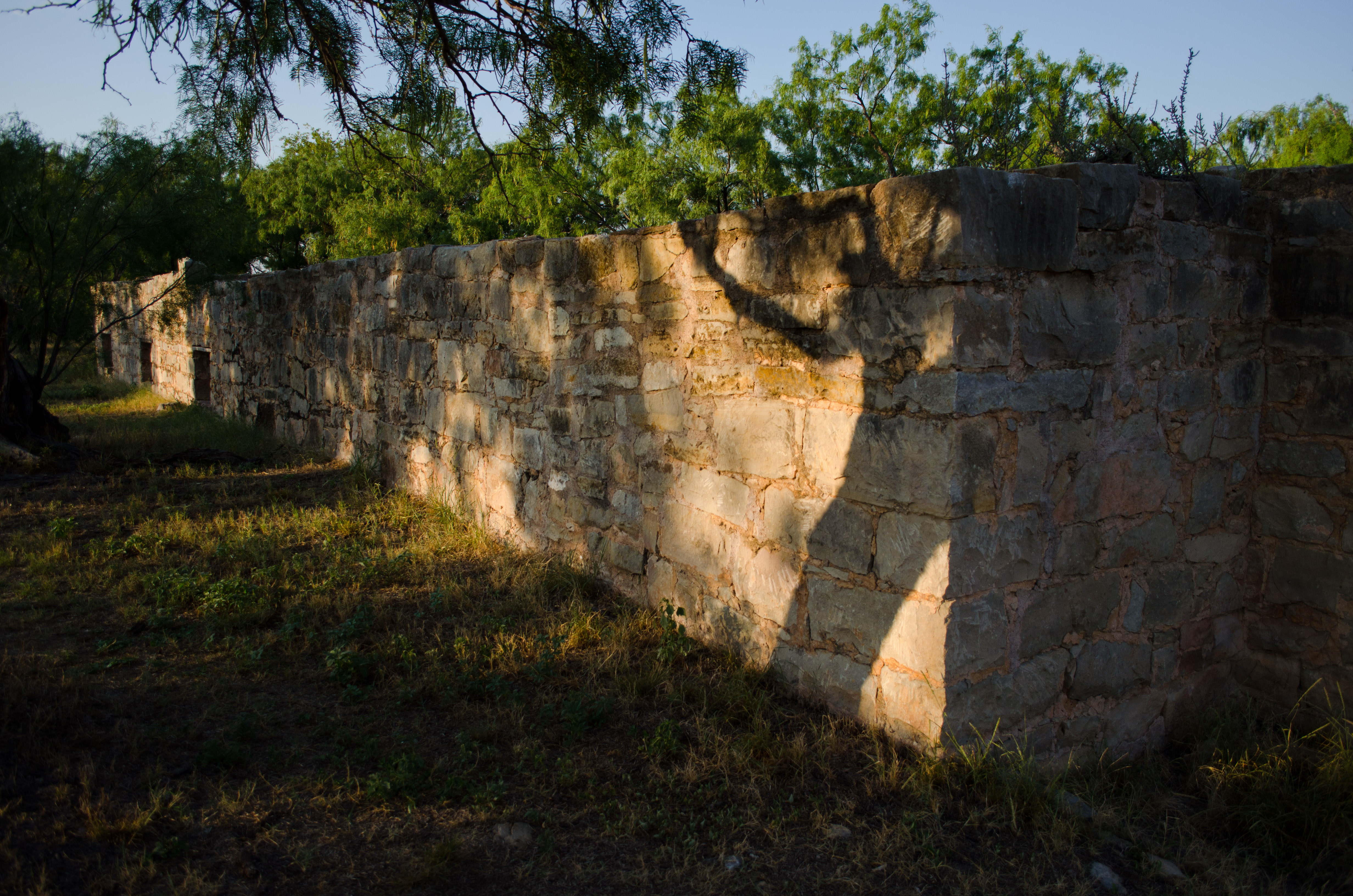
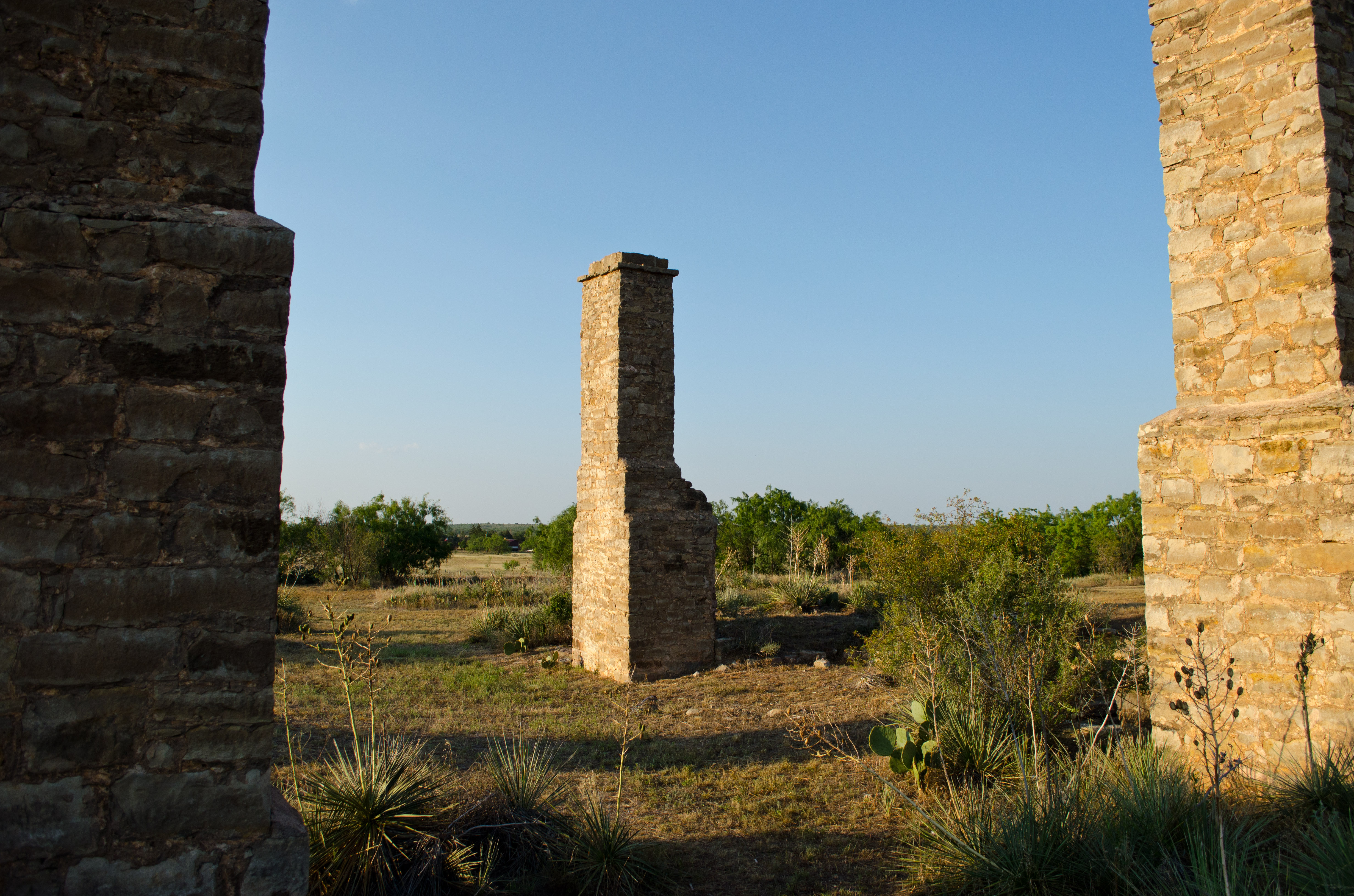
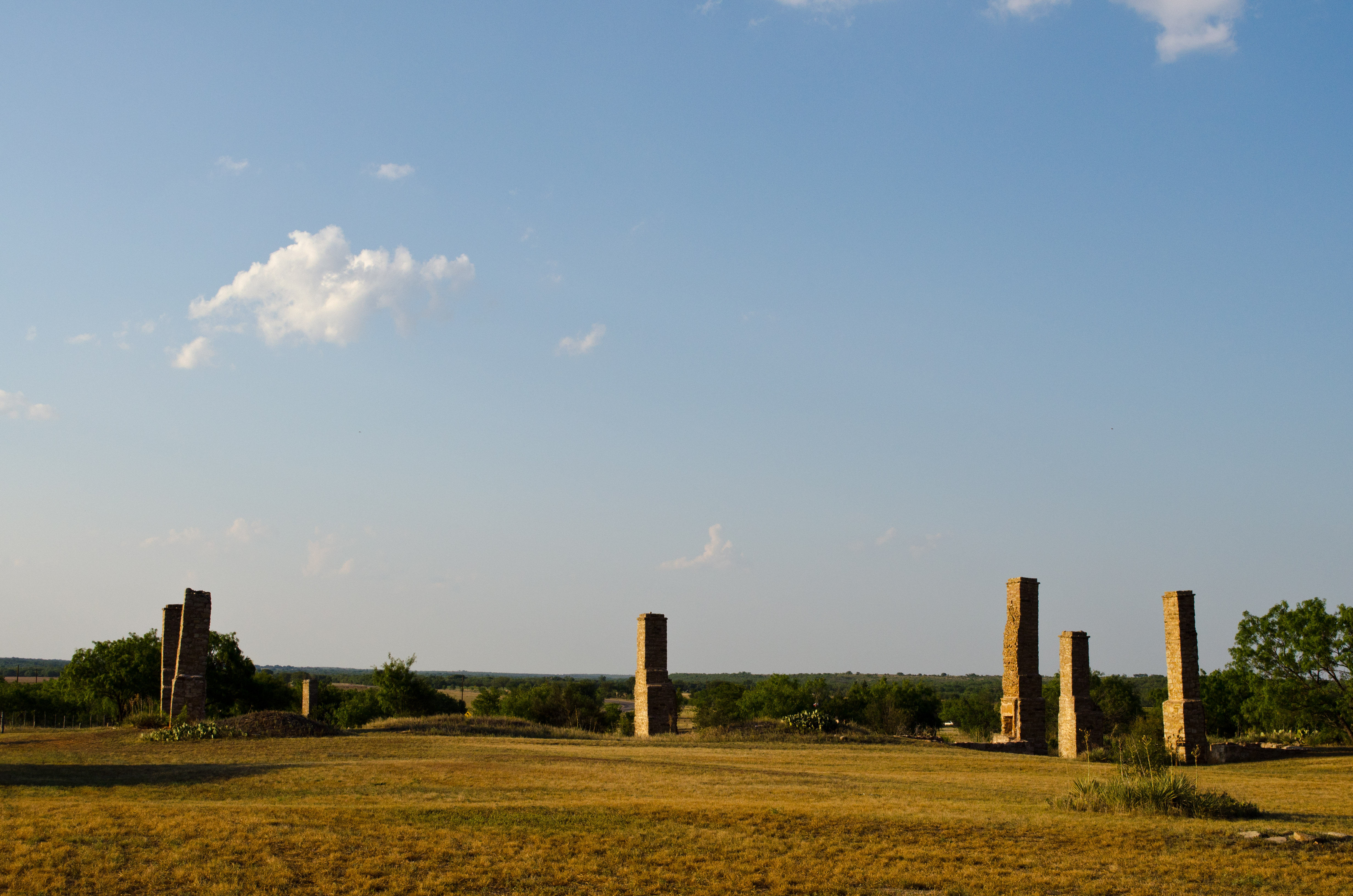
Fort Phantom Hill

Fort Phantom Hill 13, Phantom Hill, Texas
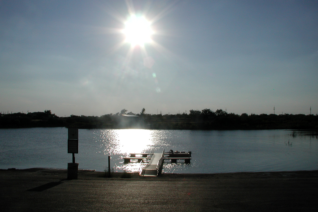
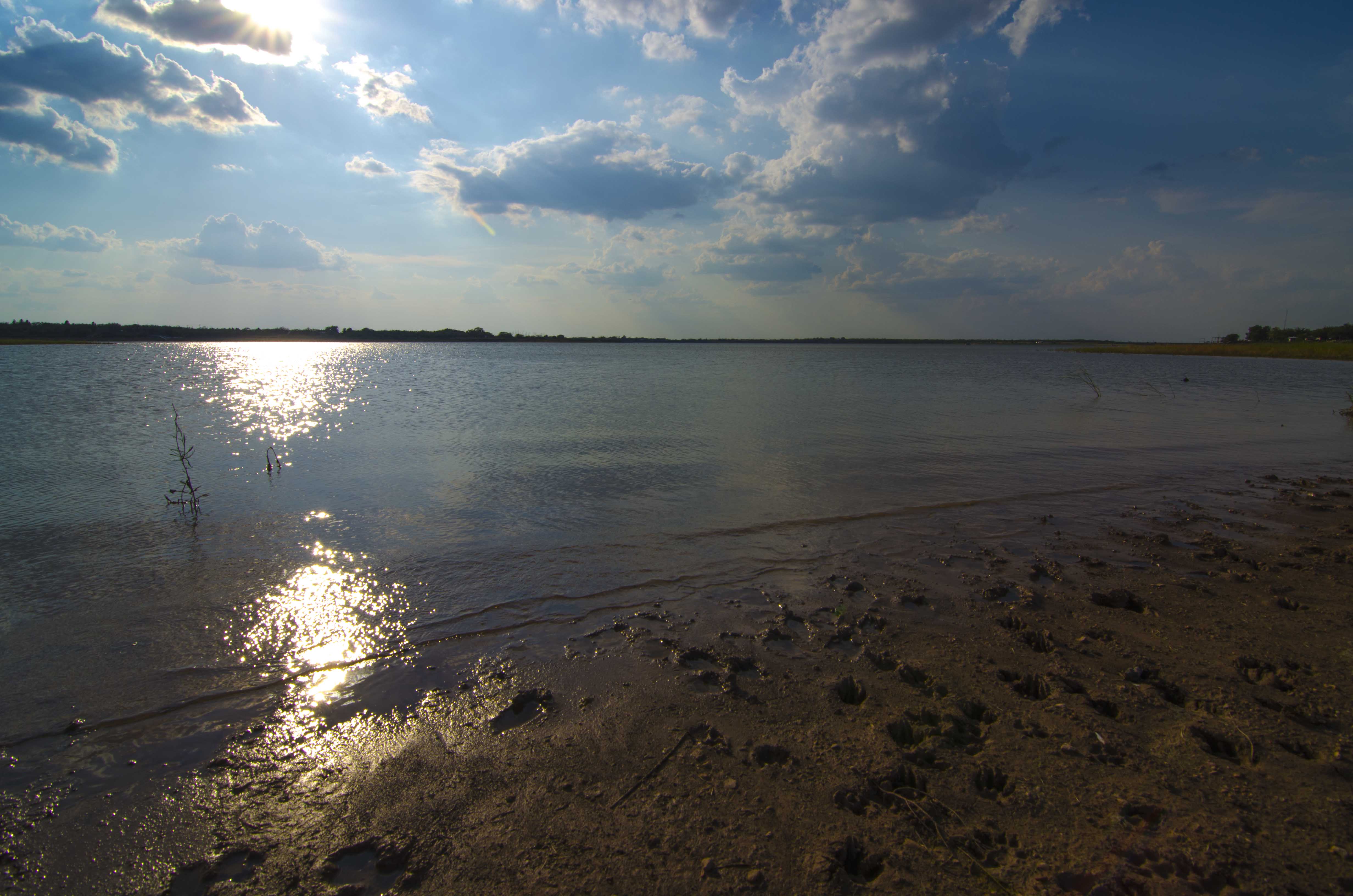
Lake Fort Phantom Hill

Fort Phantom Hill
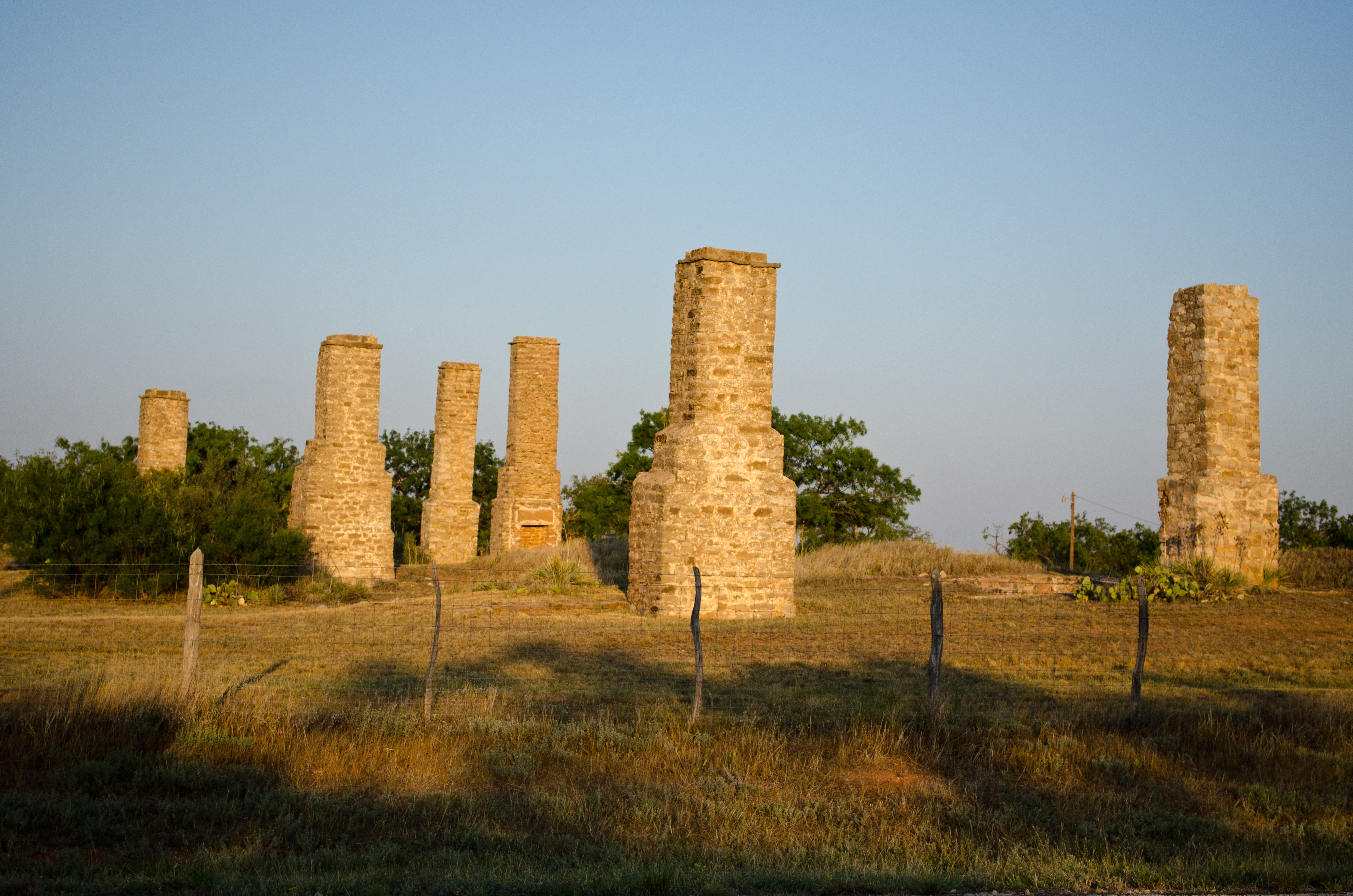
Fort Phantom Hill

Fort Phantom Hill 9, Phantom Hill, Texas
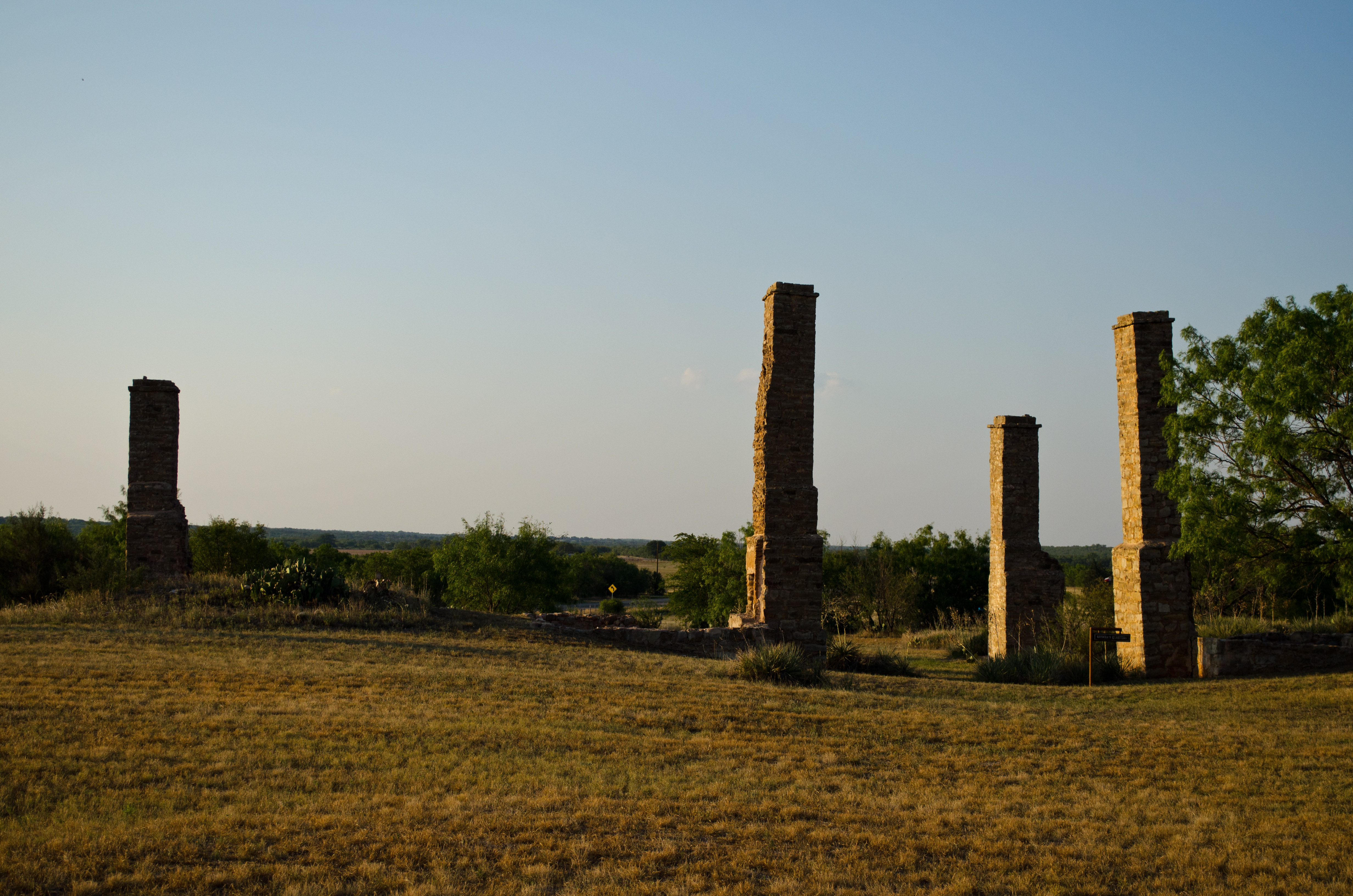
Fort Phantom Hill
Fort Phantom Hill
Fort Phantom Hill
Fort Phantom Hill
Fort Phantom Hill
Fort Phantom Hill

Fort Phantom Hill

Fort Phantom Hill
Topographic Map of Hawley, TX, USA
Find elevation by address:

Places in Hawley, TX, USA:
Places near Hawley, TX, USA:
6472 Summerhill Rd
Roosevelt St, Abilene, TX, USA
North College
4725 E Phantom Hill Rd
5505 N 1st St
5505 N 1st St
Carmelita Avila-neie, Otr
1102 Mulberry St
Jones County
2700 N 1st St
Elmwood Area
3017 S 7th St
Abilene Christian University
Sayles Blvd. Area
Abilene Heights Area
2000 S 6th St
3441 S 11th St
1900 S 6th St
602 Meander St
600 Meander St
Recent Searches:
- Elevation of Corso Fratelli Cairoli, 35, Macerata MC, Italy
- Elevation of Tallevast Rd, Sarasota, FL, USA
- Elevation of 4th St E, Sonoma, CA, USA
- Elevation of Black Hollow Rd, Pennsdale, PA, USA
- Elevation of Oakland Ave, Williamsport, PA, USA
- Elevation of Pedrógão Grande, Portugal
- Elevation of Klee Dr, Martinsburg, WV, USA
- Elevation of Via Roma, Pieranica CR, Italy
- Elevation of Tavkvetili Mountain, Georgia
- Elevation of Hartfords Bluff Cir, Mt Pleasant, SC, USA