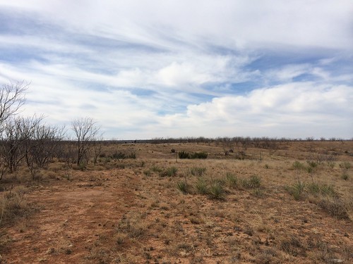
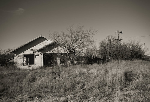
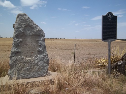
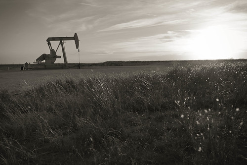
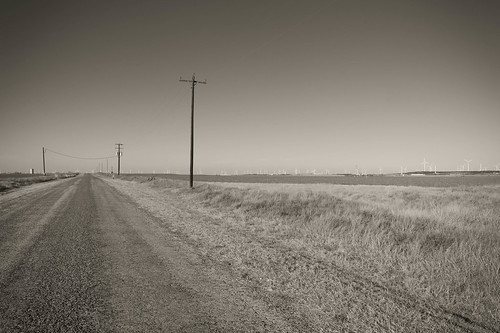
Elevation of Co Rd, Hawley, TX, USA
Location: United States > Texas > Jones County > Hawley >
Longitude: -99.868703
Latitude: 32.5889
Elevation: 527m / 1729feet
Barometric Pressure: 95KPa
Related Photos:
Topographic Map of Co Rd, Hawley, TX, USA
Find elevation by address:

Places near Co Rd, Hawley, TX, USA:
Tye
Anson
Merkel
823 Yucca St
Trent
N Oak St, Trent, TX, USA
Sylvester, TX, USA
Sylvester
FM57, Roby, TX, USA
Fisher County
600 Tx-70
Nolan County
Roby
600 Tx-70 Bus
Sweetwater
Old Glory
Co Rd, Sweetwater, TX, USA
Stonewall County
596 County Rd 310
Aspermont
Recent Searches:
- Elevation of Corso Fratelli Cairoli, 35, Macerata MC, Italy
- Elevation of Tallevast Rd, Sarasota, FL, USA
- Elevation of 4th St E, Sonoma, CA, USA
- Elevation of Black Hollow Rd, Pennsdale, PA, USA
- Elevation of Oakland Ave, Williamsport, PA, USA
- Elevation of Pedrógão Grande, Portugal
- Elevation of Klee Dr, Martinsburg, WV, USA
- Elevation of Via Roma, Pieranica CR, Italy
- Elevation of Tavkvetili Mountain, Georgia
- Elevation of Hartfords Bluff Cir, Mt Pleasant, SC, USA


