Elevation of Hatia Island, Bangladesh
Location: Bangladesh > Chittagong Division > Noakhali District >
Longitude: 91.09694
Latitude: 22.2824053
Elevation: 2m / 7feet
Barometric Pressure: 101KPa
Elevation Map:
Satellite Map:
Related Photos:

IMG_20170102_161037
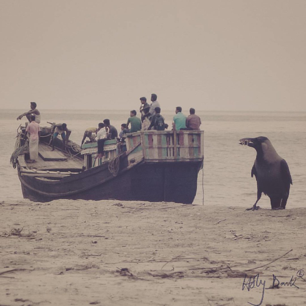
Raven and some hungry stomachs #oldsnap #outing #raven #vessel #sea
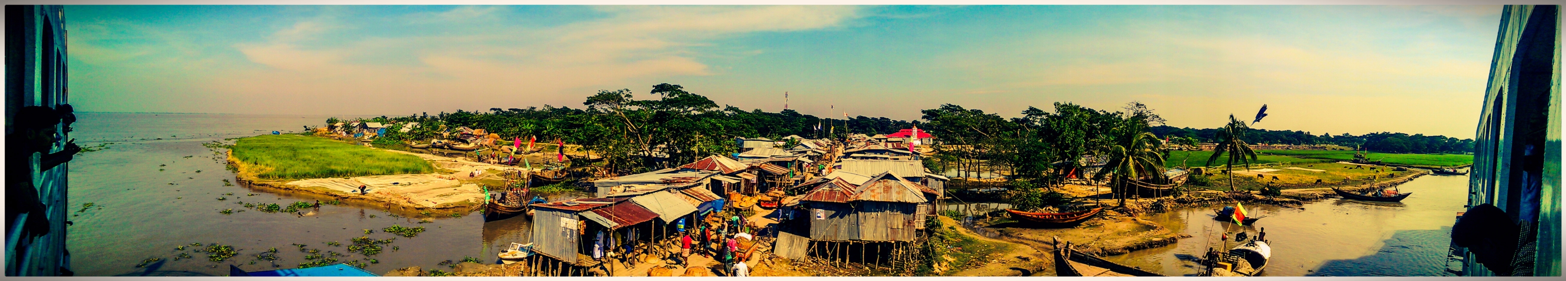
Monpura dip - HTC Sense
Topographic Map of Hatia Island, Bangladesh
Find elevation by address:

Places near Hatia Island, Bangladesh:
Hatiya
Nijhum Dwip National Park
Nijhum Dwip
Bhola District
Patuakhali District
Barisal Division
Patuakhali
Khepupara
Kalapara Upazila
Recent Searches:
- Elevation of Corso Fratelli Cairoli, 35, Macerata MC, Italy
- Elevation of Tallevast Rd, Sarasota, FL, USA
- Elevation of 4th St E, Sonoma, CA, USA
- Elevation of Black Hollow Rd, Pennsdale, PA, USA
- Elevation of Oakland Ave, Williamsport, PA, USA
- Elevation of Pedrógão Grande, Portugal
- Elevation of Klee Dr, Martinsburg, WV, USA
- Elevation of Via Roma, Pieranica CR, Italy
- Elevation of Tavkvetili Mountain, Georgia
- Elevation of Hartfords Bluff Cir, Mt Pleasant, SC, USA