Elevation of Harvey Mountain, California, USA
Location: United States > Susanville >
Longitude: -121.03607
Latitude: 40.7410013
Elevation: 2203m / 7228feet
Barometric Pressure: 77KPa
Elevation Map:
Satellite Map:
Related Photos:

PA120007.jpg
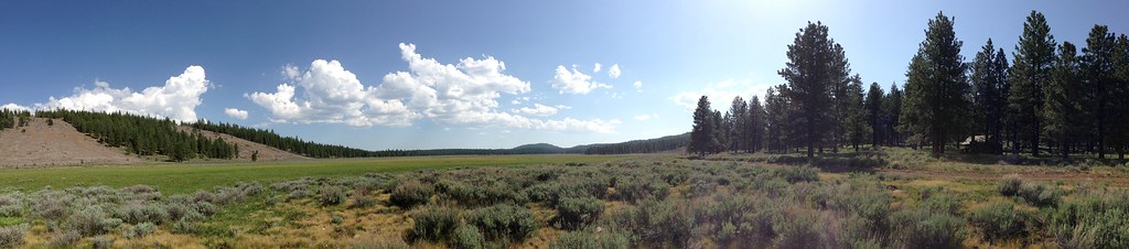
Dairy Spring Meadow - Lassen National Forest

_8210071.NEF

_8210069.NEF

_8210068.NEF

_2240010.NEF

Brian B

_2240019.NEF

_2240020.NEF

_2240021.NEF

_2240007.NEF

_8210066.NEF

_8210067.NEF

_8210070.NEF
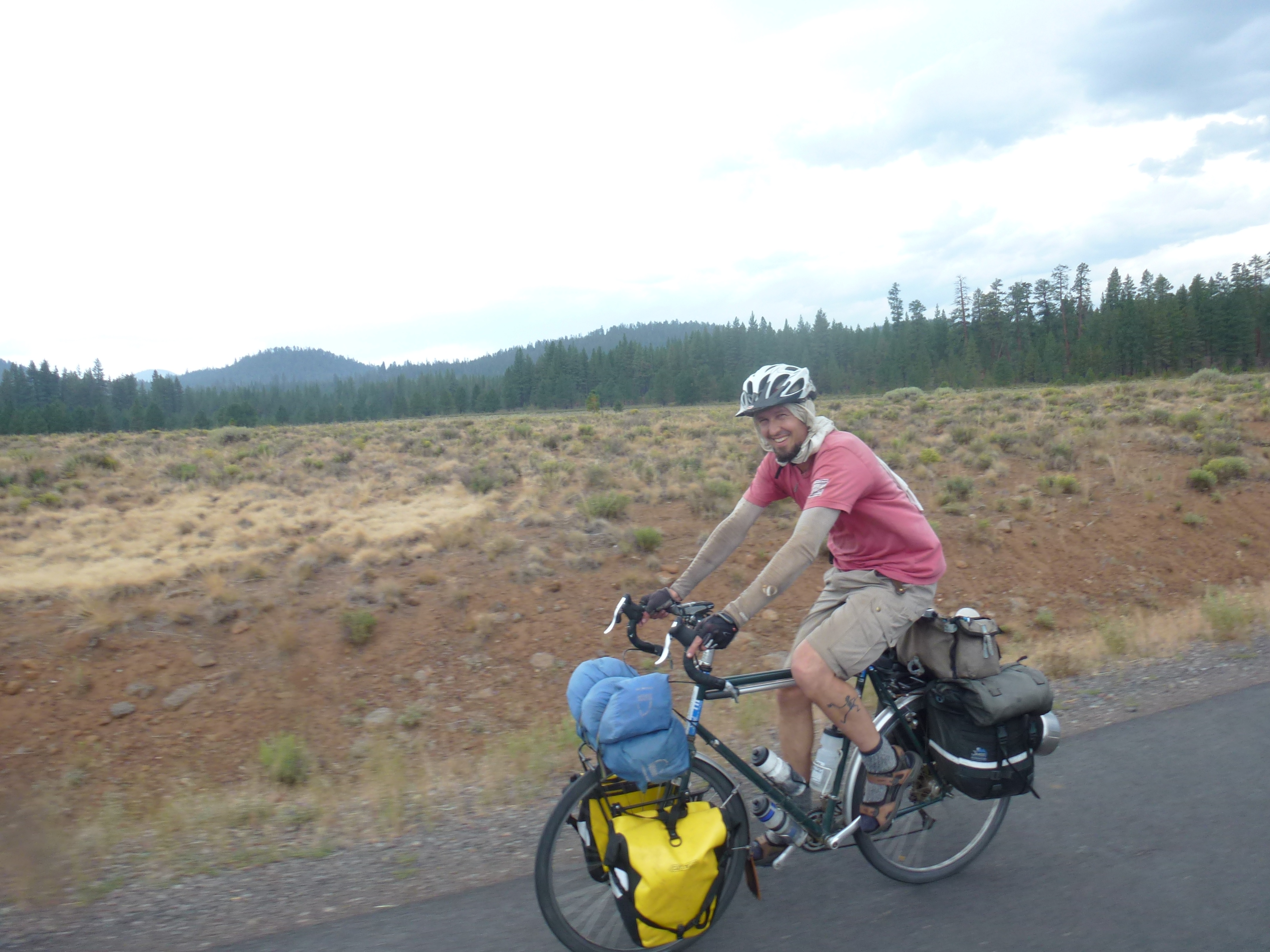
Riding along
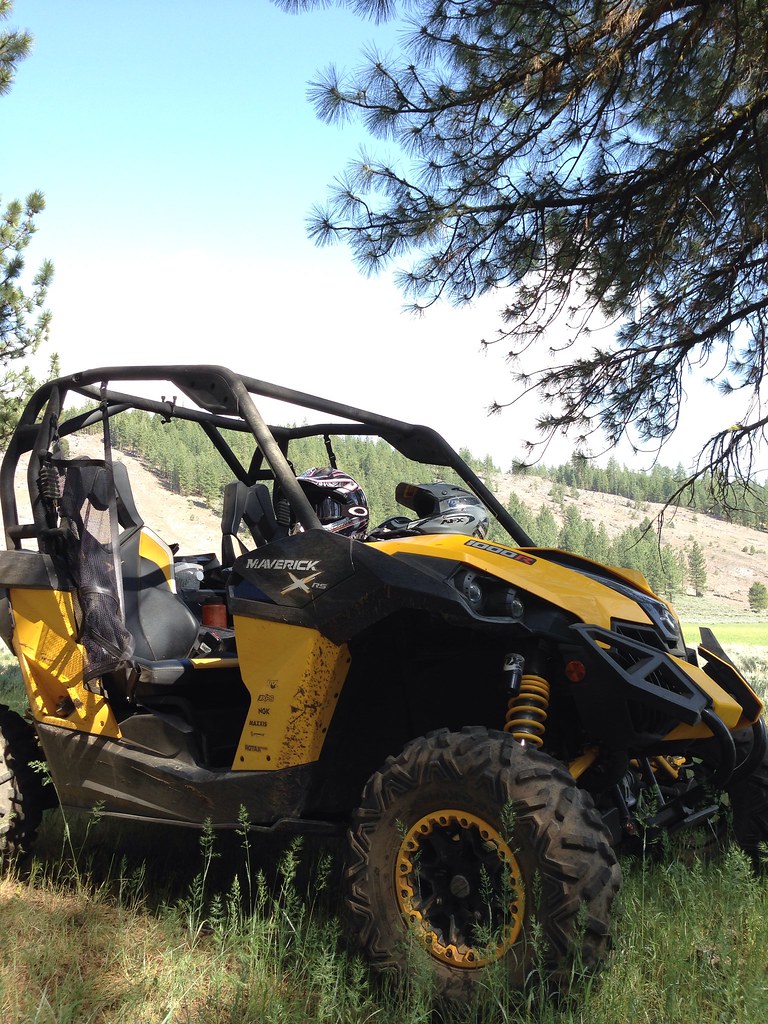
New Video!
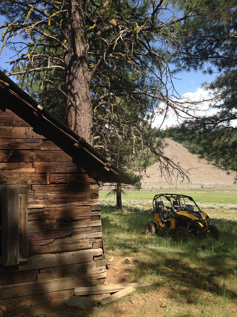
Dead Cow Cabin - Lassen National Forest
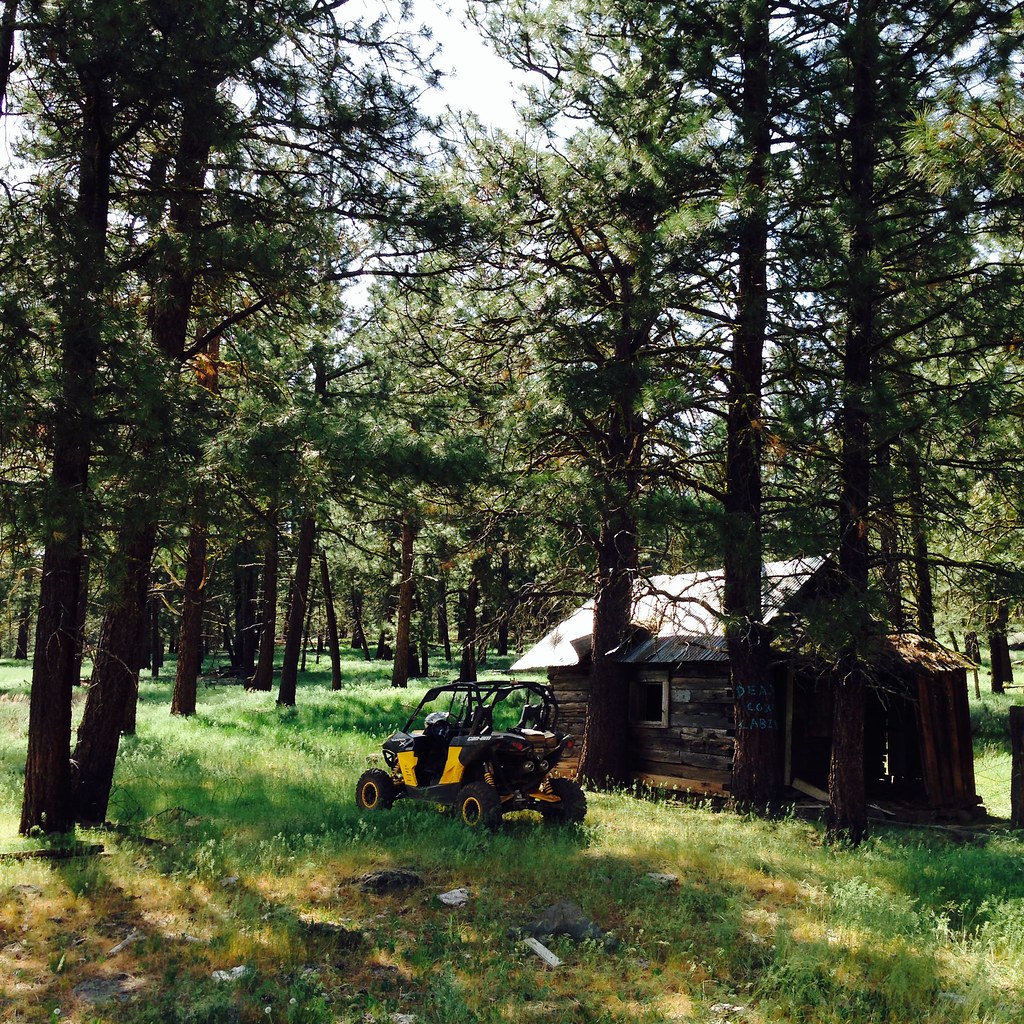
Dead Cow Cabin - Lassen National Forest

Another 3.09 miles down. #gettingfaster #runner #getfit #lululemon #adidas #thesweatlife #summeriscoming
Another 3 miles with 40 push ups here at my turnaround spot tonight. #getfit #mygym #ilovethecountry #nofilter #modoc #likely #motivation #babysteps
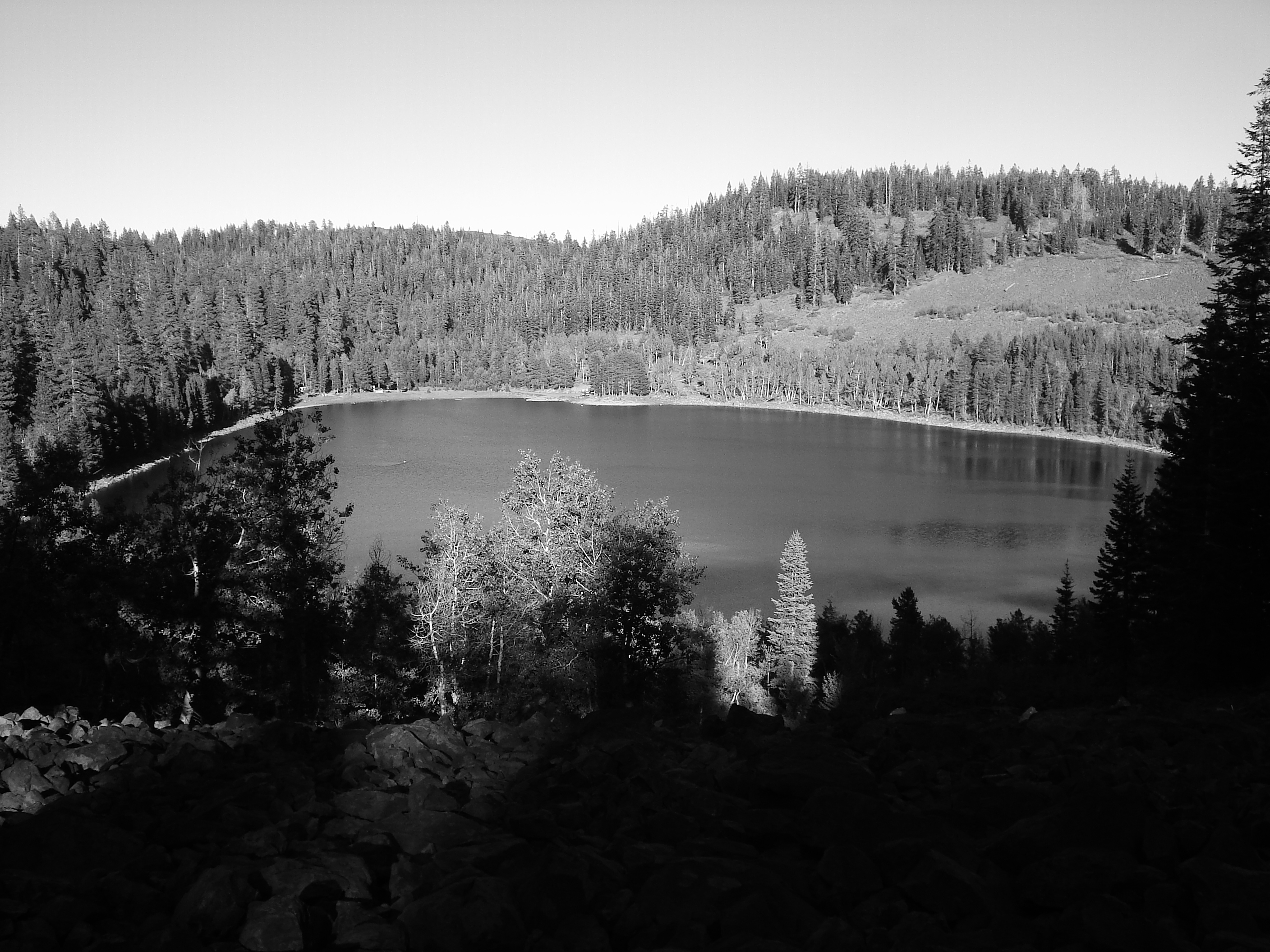
Looking Down on Crater Lake
Topographic Map of Harvey Mountain, California, USA
Find elevation by address:

Places near Harvey Mountain, California, USA:
Blacks Mountain
Red Cinder
Cinder Cone
Prospect Peak
West Prospect Peak
Old Station
Horseshoe Lake
Mount Harkness
Westwood
Clear Creek
Lassen Volcanic National Park
North Shore Campground
382 Settlers Rd
382 Settlers Rd
382 Settlers Rd
382 Settlers Rd
382 Settlers Rd
382 Settlers Rd
382 Settlers Rd
Park Hill Dr, Lake Almanor, CA, USA
Recent Searches:
- Elevation of Corso Fratelli Cairoli, 35, Macerata MC, Italy
- Elevation of Tallevast Rd, Sarasota, FL, USA
- Elevation of 4th St E, Sonoma, CA, USA
- Elevation of Black Hollow Rd, Pennsdale, PA, USA
- Elevation of Oakland Ave, Williamsport, PA, USA
- Elevation of Pedrógão Grande, Portugal
- Elevation of Klee Dr, Martinsburg, WV, USA
- Elevation of Via Roma, Pieranica CR, Italy
- Elevation of Tavkvetili Mountain, Georgia
- Elevation of Hartfords Bluff Cir, Mt Pleasant, SC, USA