Elevation of Harve Township, AR, USA
Location: United States > Arkansas > Faulkner County >
Longitude: -92.272887
Latitude: 35.1606366
Elevation: 124m / 407feet
Barometric Pressure: 100KPa
Elevation Map:
Satellite Map:
Related Photos:

Greer Veon E1
ISO100-0092

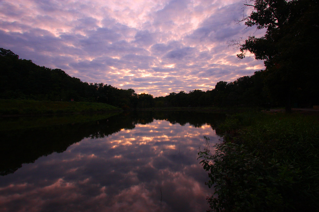
Sunset - 1/22/11
2011-10-02 DSC03600 Woolly Hollowheads
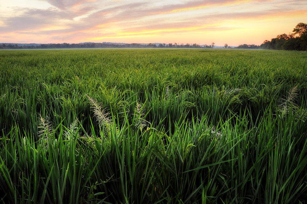
Evening Dew
awkward kids
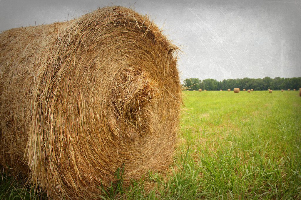
hay fever
stuck in park
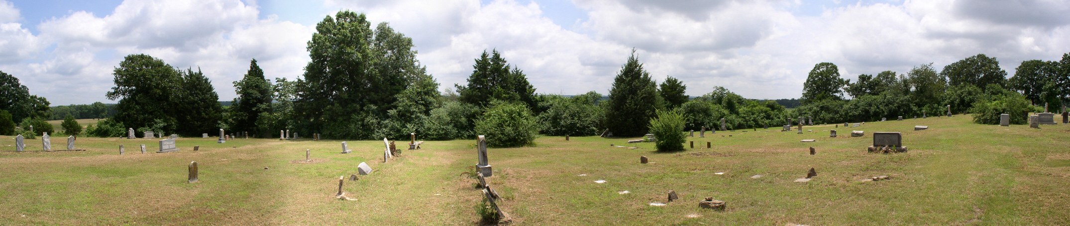
005 Mount Olive
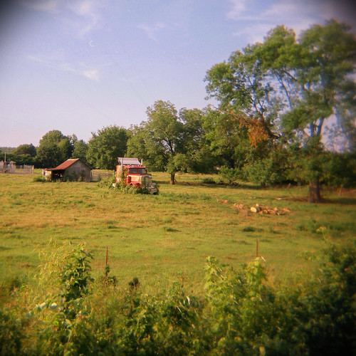
Arkansas Farmland
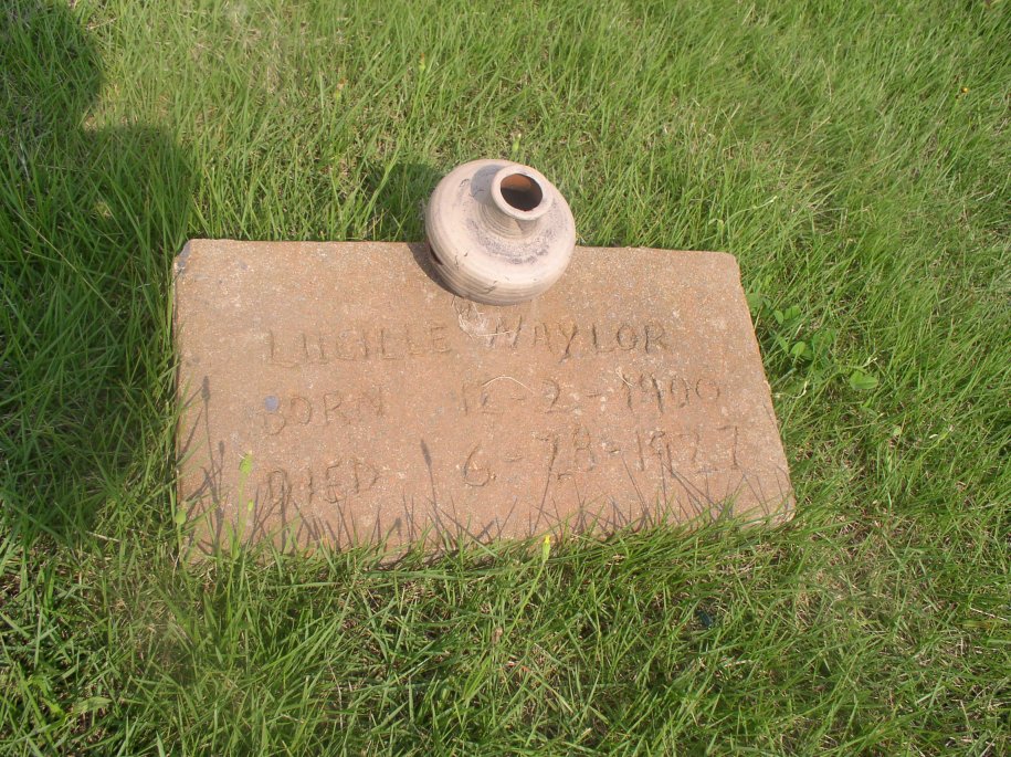
Naylor Lucille
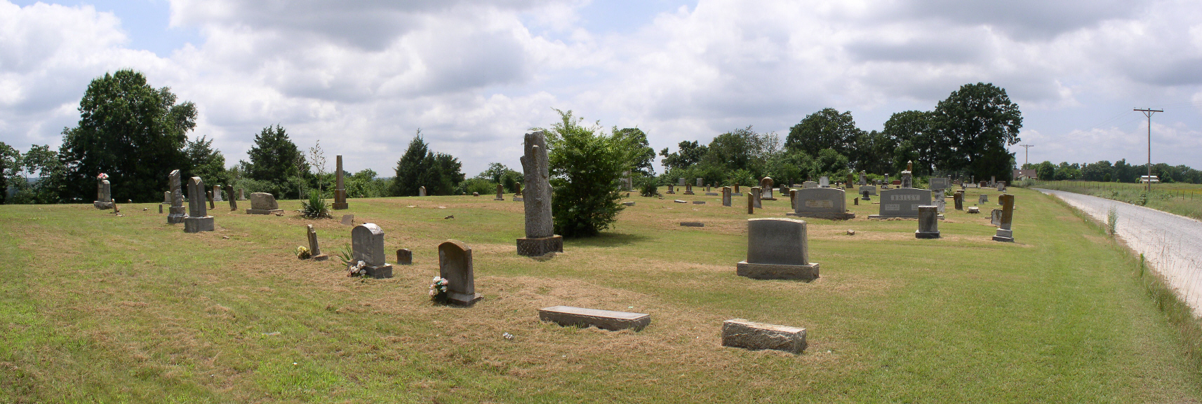
003 Mount Olive
Wolly Hollow Woods
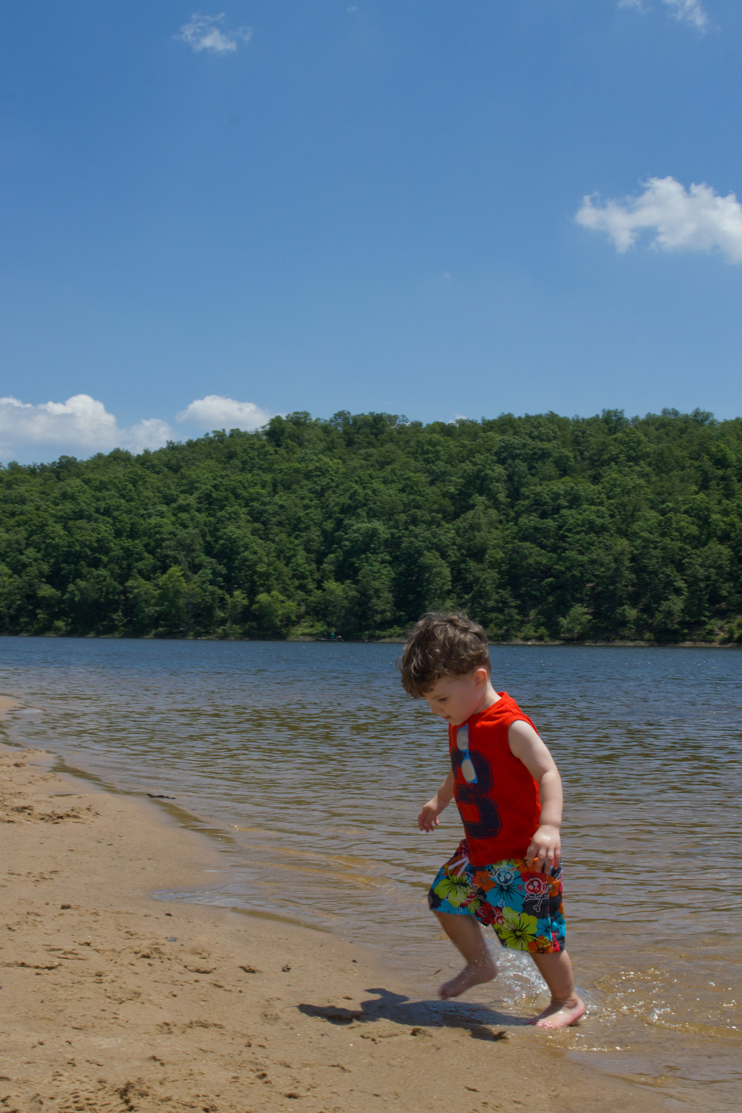
Lake Bennett 1
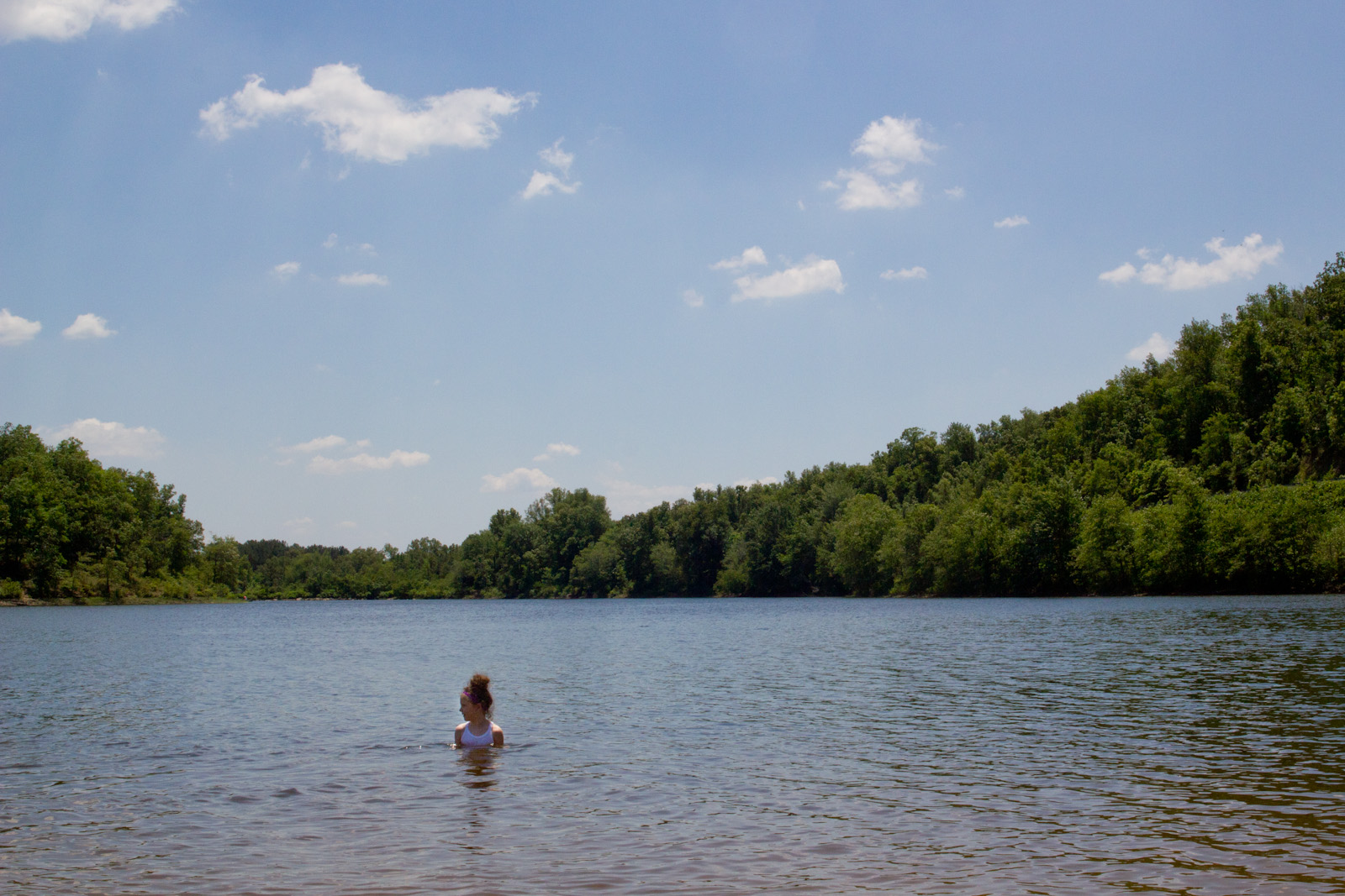
Lake Bennett 3
Lake Bennett 4
this day by the lake went too fast

Wilkerson Mary A

Pearl crescent
Topographic Map of Harve Township, AR, USA
Find elevation by address:

Places in Harve Township, AR, USA:
Places near Harve Township, AR, USA:
315-01 State Hwy 287
Matthews Township
Hwy E, Greenbrier, AR, USA
East Fork Township
Hardin Township
Linder Rd, Greenbrier, AR, USA
7 E Main St, Greenbrier, AR, USA
Greenbrier
Garland Springs Rd, Enola, AR, USA
19 Springhill Dr
Benton Township
California Township
Mount Vernon Township
Mount Vernon
AR-36, Mt Vernon, AR, USA
AR-25, Guy, AR, USA
9 Enders Rd, Quitman, AR, USA
Guy
17 Treasure Creek
3 Harbor Dr
Recent Searches:
- Elevation of Corso Fratelli Cairoli, 35, Macerata MC, Italy
- Elevation of Tallevast Rd, Sarasota, FL, USA
- Elevation of 4th St E, Sonoma, CA, USA
- Elevation of Black Hollow Rd, Pennsdale, PA, USA
- Elevation of Oakland Ave, Williamsport, PA, USA
- Elevation of Pedrógão Grande, Portugal
- Elevation of Klee Dr, Martinsburg, WV, USA
- Elevation of Via Roma, Pieranica CR, Italy
- Elevation of Tavkvetili Mountain, Georgia
- Elevation of Hartfords Bluff Cir, Mt Pleasant, SC, USA