Elevation of Harriett Ln, Pollocksville, NC, USA
Location: United States > North Carolina > Jones County > 2, Pollocksville > Pollocksville >
Longitude: -77.192871
Latitude: 35.0244808
Elevation: 1m / 3feet
Barometric Pressure: 101KPa
Elevation Map:
Satellite Map:
Related Photos:

Osprey doing the "YMCA!"

To Every Purpose

A Firefighter's Rainbow
Brock's Mill Pond
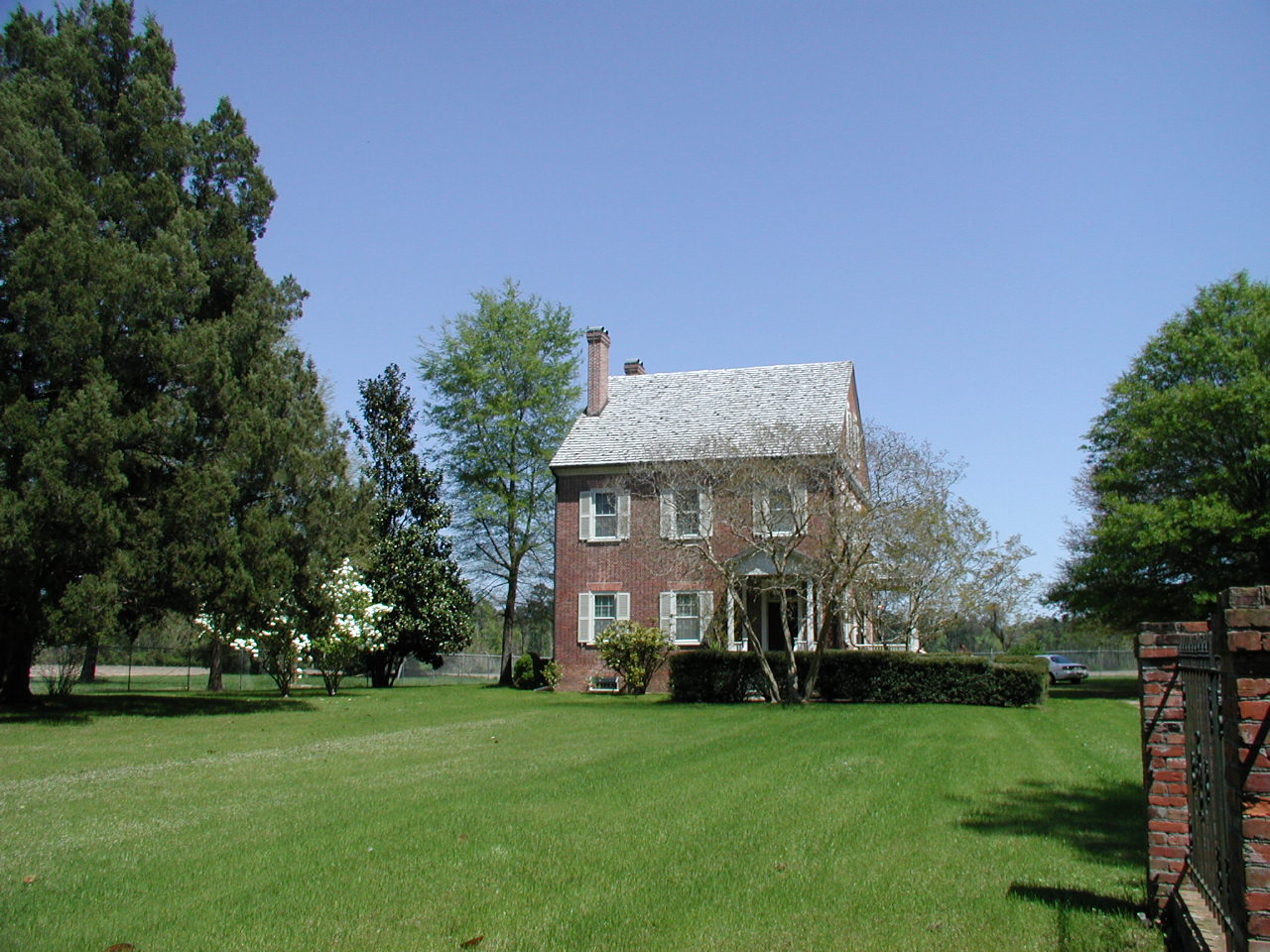
Exterior front view of the Foscue Plantation House

Front View, Jones County Courthouse

Sunset Jet
Passing storm

Raindrops at sunset

Full moon

Across the Water

9/11 Sunset

Chair, Lawson Creek

Spring dream
Brocks Mill Pond
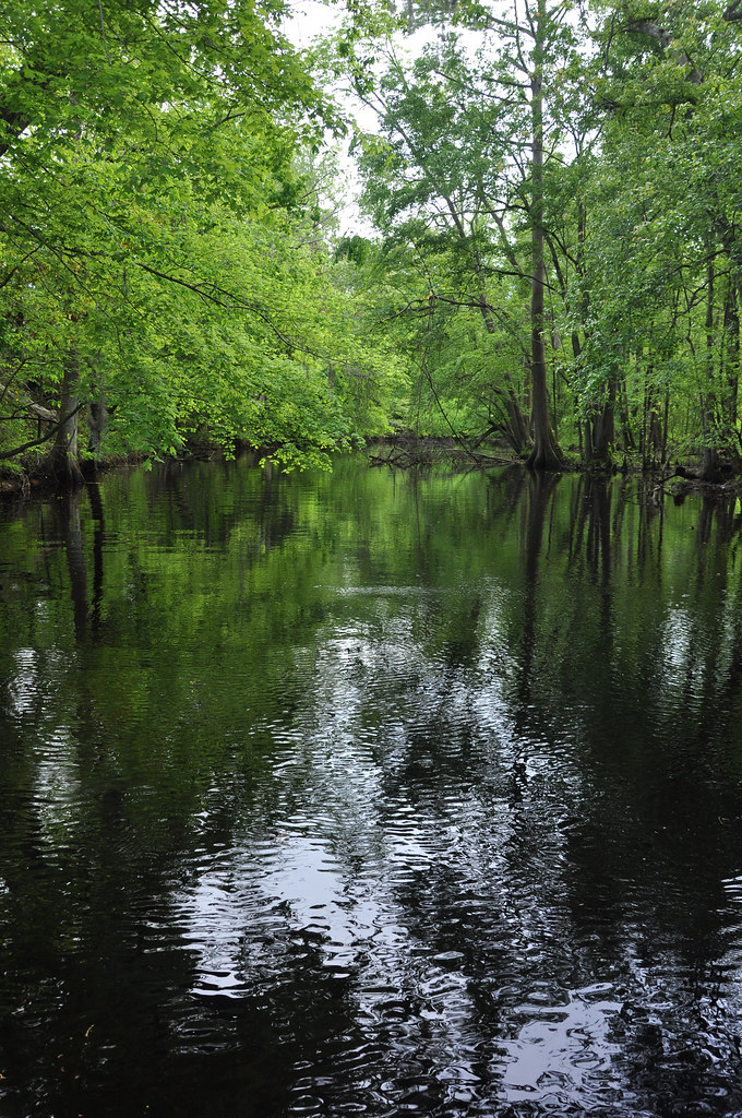
Creek flowing into Trent River

Evening, pear trees

Sunset 1
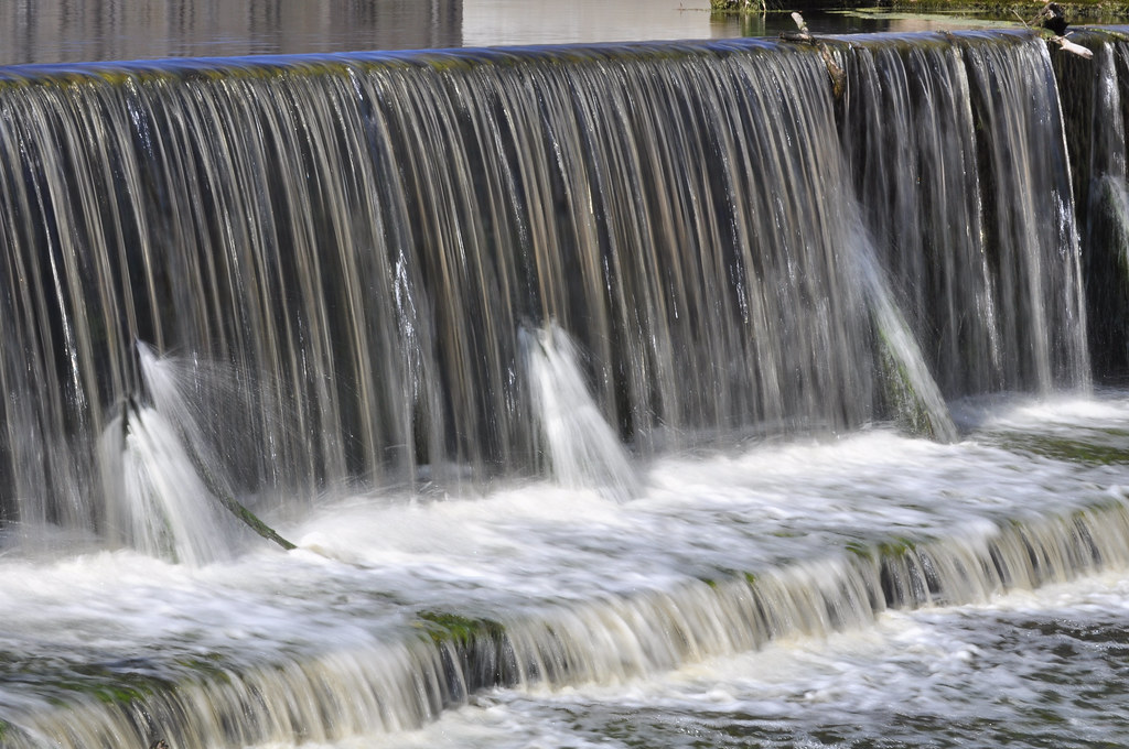
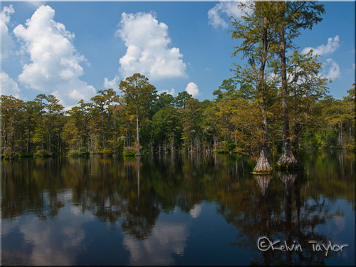
Brock's Mill Pond
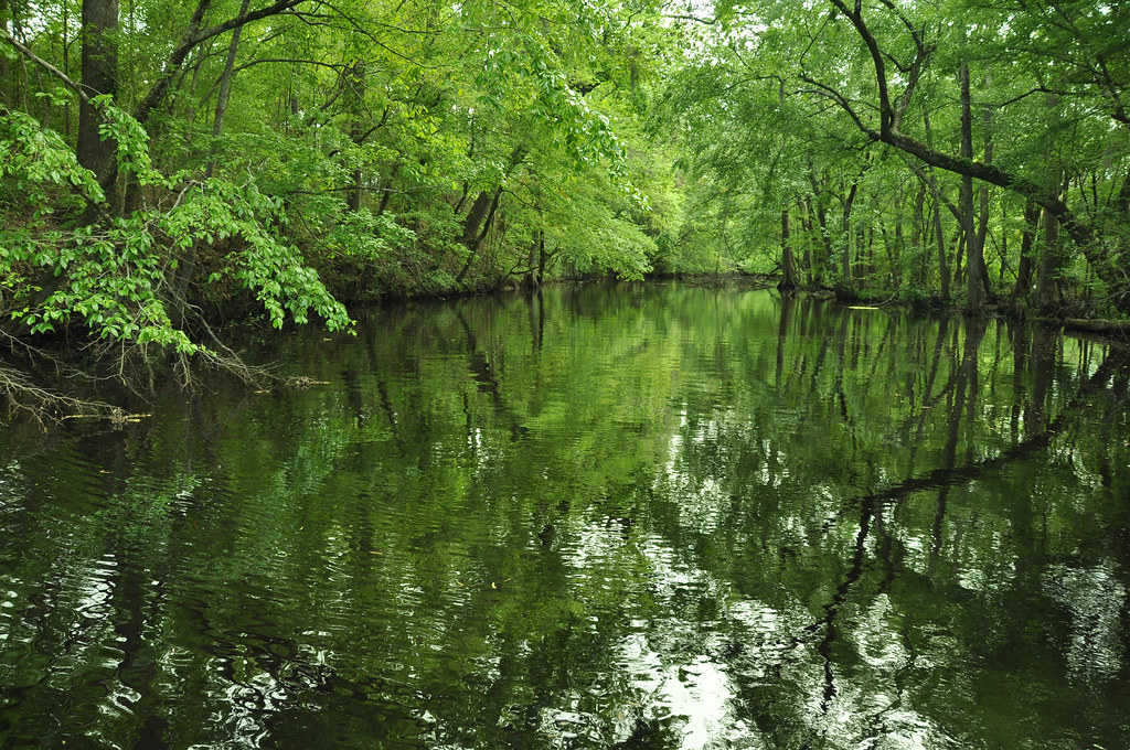
Creek flowing into Trent River

Sunset and mist

Union Point Park, New Bern, HDR
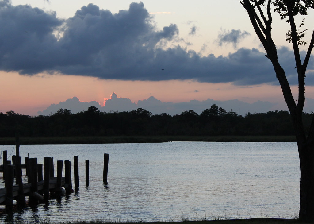
Sunset, Trent River

_DSC1558_2 Sunrise over the Neuse River

March morning

Strength and grace

Trent River sunset 8
Topographic Map of Harriett Ln, Pollocksville, NC, USA
Find elevation by address:

Places near Harriett Ln, Pollocksville, NC, USA:
887 Harriett Ln
887 Harriett Ln
200 County Rd 1336
286 Trent Acres Dr
286 Trent Acres Dr
286 Trent Acres Dr
162 Skippers Rd
134 Mandy Ln
113 Main St
203 Main St
138 Hughes Plantation Rd
184 Hughes Plantation Rd
Pollocksville
310 2nd St
406 Foy St
2, Pollocksville
300 Trent St
Trent Road
301 Magg Smith Rd
437 Gatewood Dr
Recent Searches:
- Elevation of Corso Fratelli Cairoli, 35, Macerata MC, Italy
- Elevation of Tallevast Rd, Sarasota, FL, USA
- Elevation of 4th St E, Sonoma, CA, USA
- Elevation of Black Hollow Rd, Pennsdale, PA, USA
- Elevation of Oakland Ave, Williamsport, PA, USA
- Elevation of Pedrógão Grande, Portugal
- Elevation of Klee Dr, Martinsburg, WV, USA
- Elevation of Via Roma, Pieranica CR, Italy
- Elevation of Tavkvetili Mountain, Georgia
- Elevation of Hartfords Bluff Cir, Mt Pleasant, SC, USA