Elevation of County Rd, Pollocksville, NC, USA
Location: United States > North Carolina > Jones County > 2, Pollocksville > Pollocksville >
Longitude: -77.215315
Latitude: 35.02228
Elevation: 9m / 30feet
Barometric Pressure: 101KPa
Elevation Map:
Satellite Map:
Related Photos:
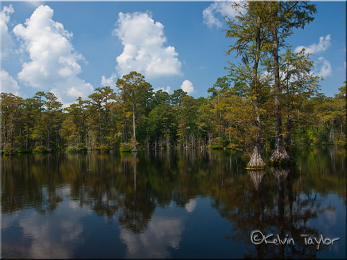
Brock's Mill Pond

To Every Purpose
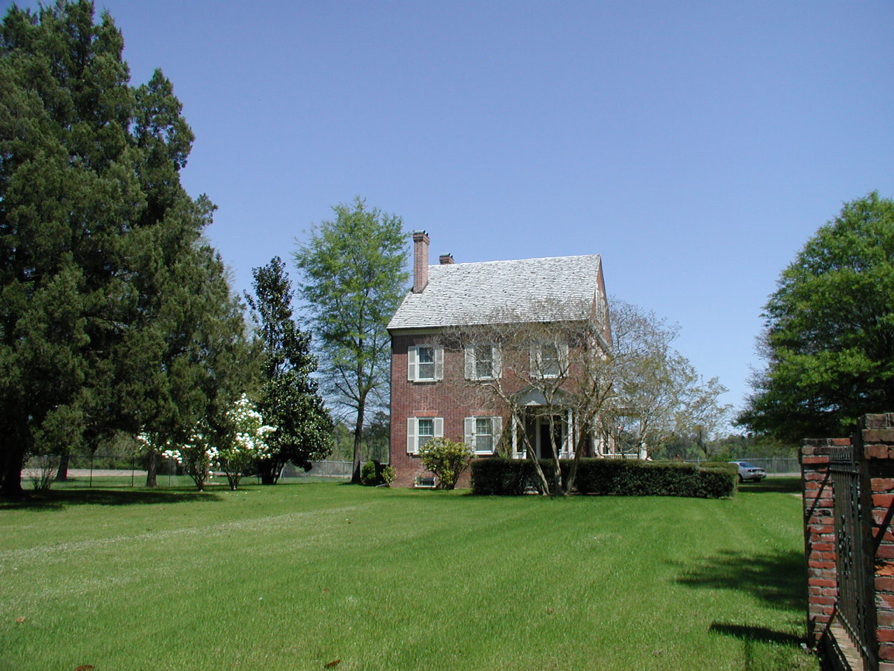
Exterior front view of the Foscue Plantation House

Front View, Jones County Courthouse
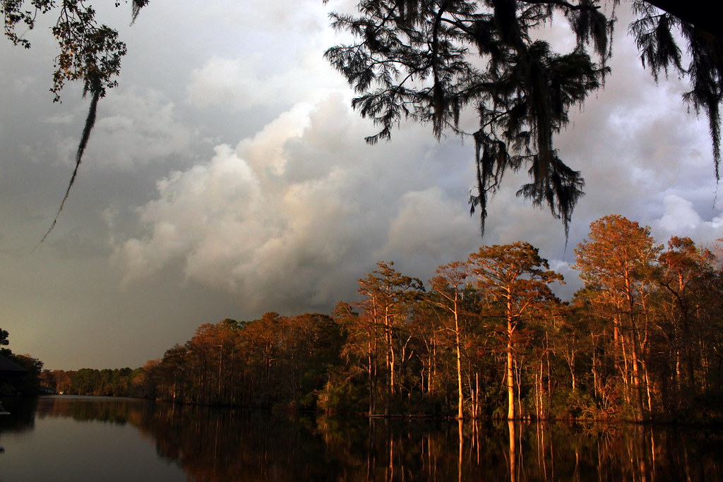
Passing storm

9/11 Sunset
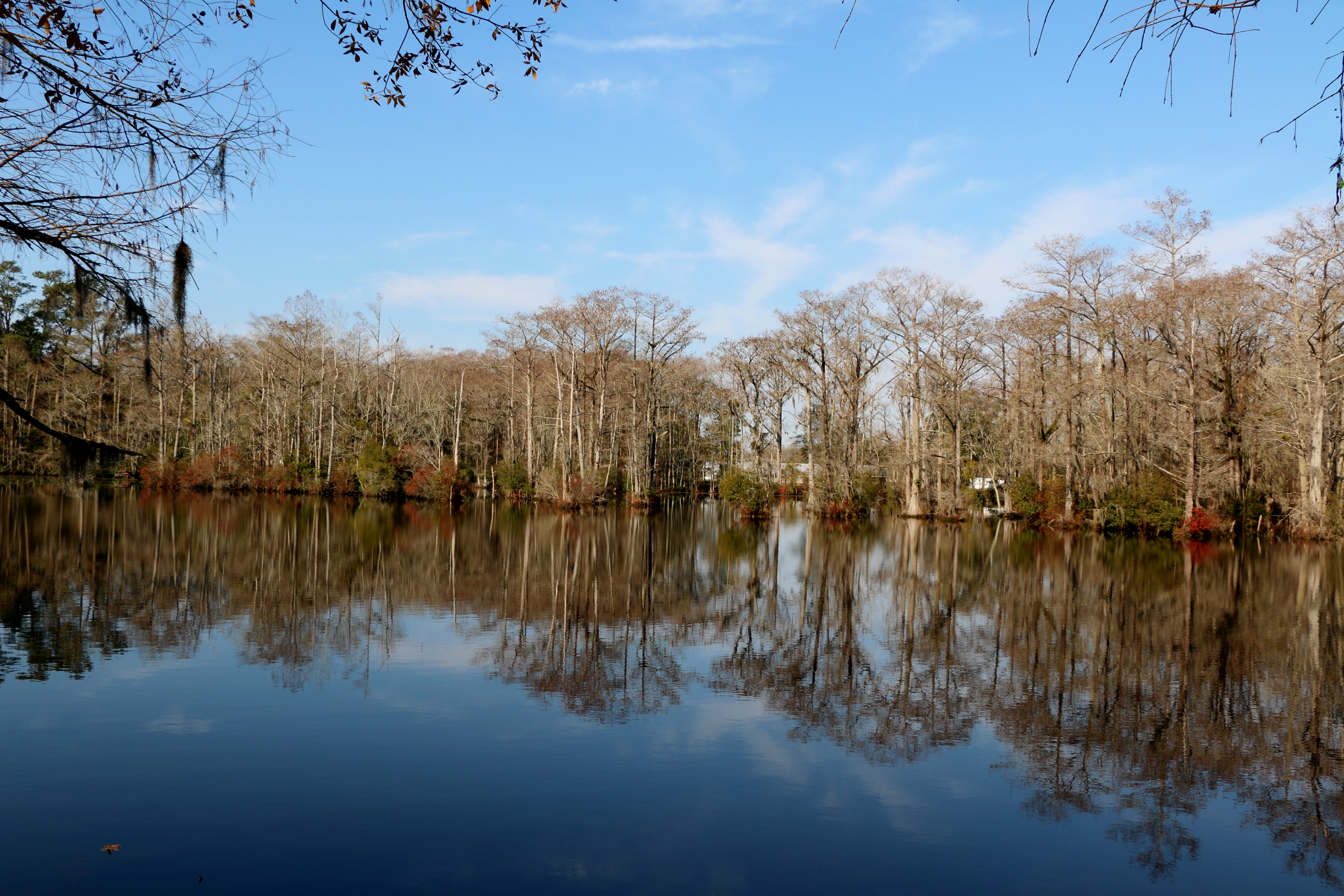
Brocks Mill Pond

Raindrops at sunset

Full moon
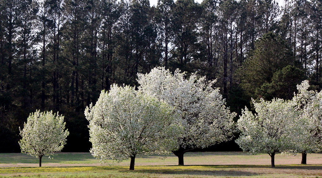
Pear tree ballet

Sunset and mist
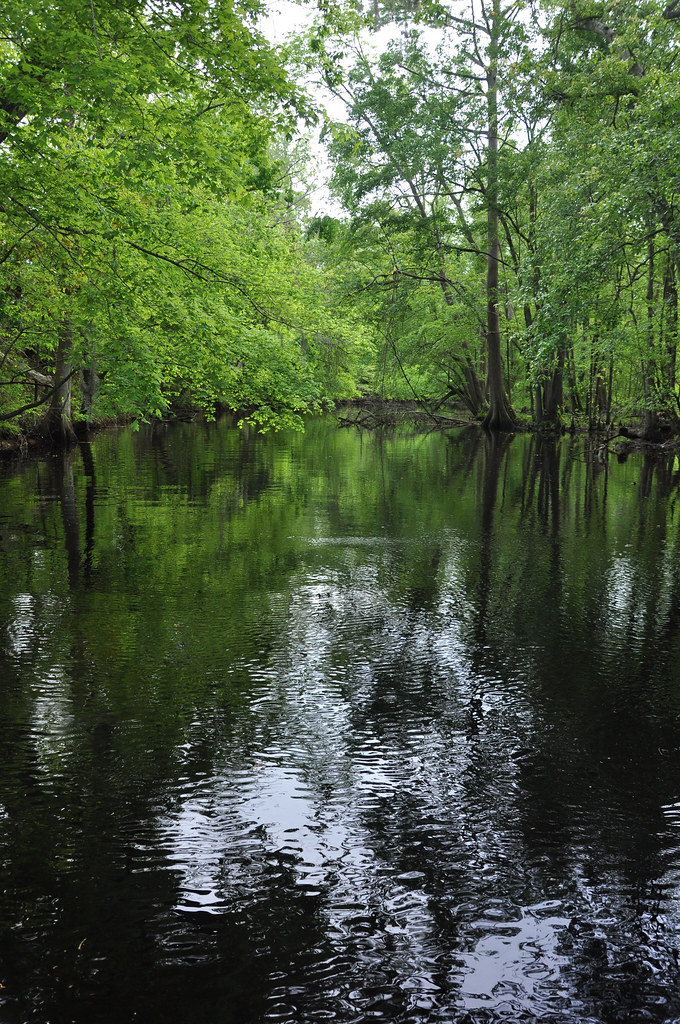
Creek flowing into Trent River
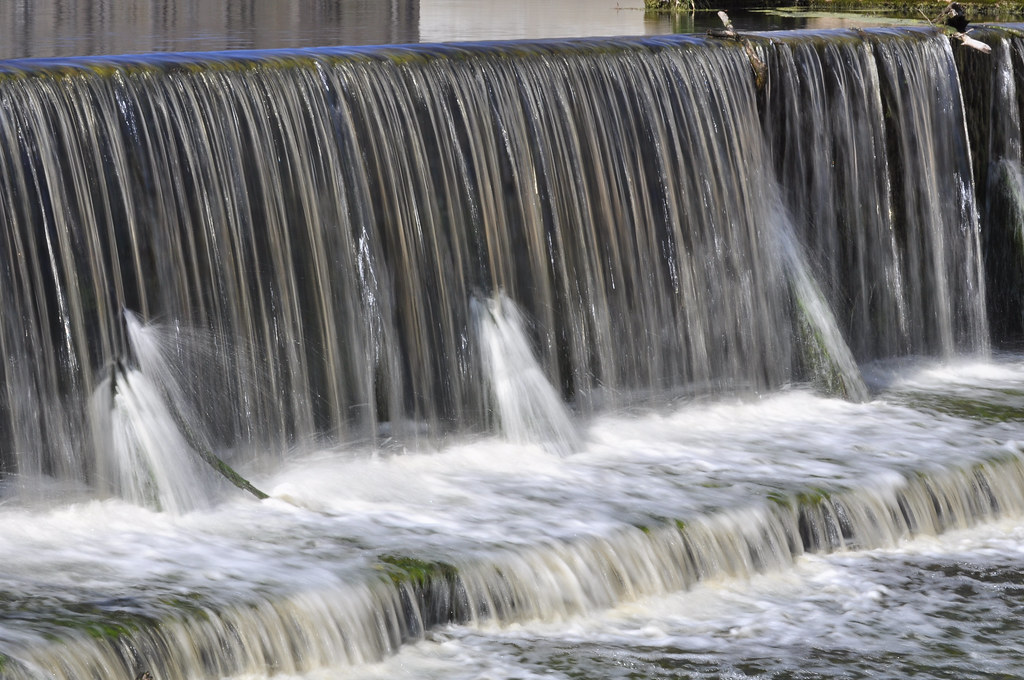
Brock's Mill Pond
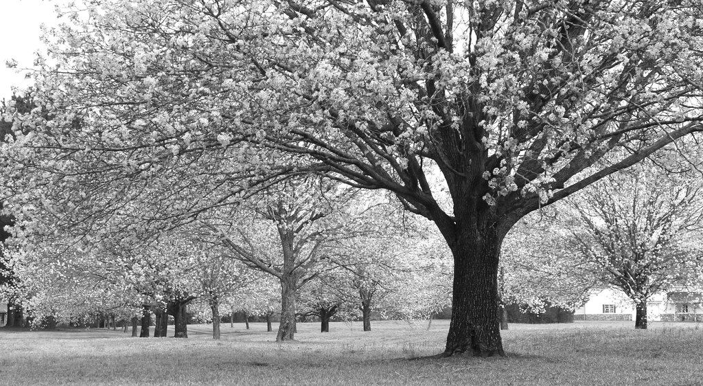
Pear trees, monochrome

Pear blossoms 2013

island Creek Trail
Topographic Map of County Rd, Pollocksville, NC, USA
Find elevation by address:

Places near County Rd, Pollocksville, NC, USA:
138 Hughes Plantation Rd
184 Hughes Plantation Rd
286 Trent Acres Dr
286 Trent Acres Dr
286 Trent Acres Dr
113 Main St
203 Main St
406 Foy St
Pollocksville
310 2nd St
300 Trent St
887 Harriett Ln
887 Harriett Ln
887 Harriett Ln
2, Pollocksville
301 Magg Smith Rd
162 Skippers Rd
134 Mandy Ln
192 Riggs Dr
470 Riggs Ln
Recent Searches:
- Elevation of Corso Fratelli Cairoli, 35, Macerata MC, Italy
- Elevation of Tallevast Rd, Sarasota, FL, USA
- Elevation of 4th St E, Sonoma, CA, USA
- Elevation of Black Hollow Rd, Pennsdale, PA, USA
- Elevation of Oakland Ave, Williamsport, PA, USA
- Elevation of Pedrógão Grande, Portugal
- Elevation of Klee Dr, Martinsburg, WV, USA
- Elevation of Via Roma, Pieranica CR, Italy
- Elevation of Tavkvetili Mountain, Georgia
- Elevation of Hartfords Bluff Cir, Mt Pleasant, SC, USA