Elevation of Harrah Rd, Harrah, WA, USA

Location: United States > Washington > Yakima County > Harrah >

Longitude: -120.54378

Latitude: 46.404252

Elevation: 253m / 830feet

Barometric Pressure: 98KPa

Elevation Map:

elevation map of Harrah Rd, Harrah, WA, USA

Satellite Map:

Satellite map of Harrah Rd, Harrah, WA, USA

Related Photos:

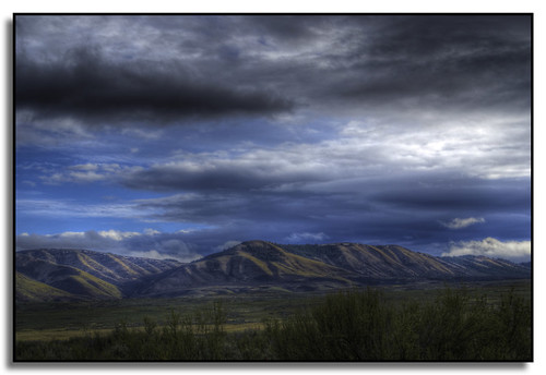
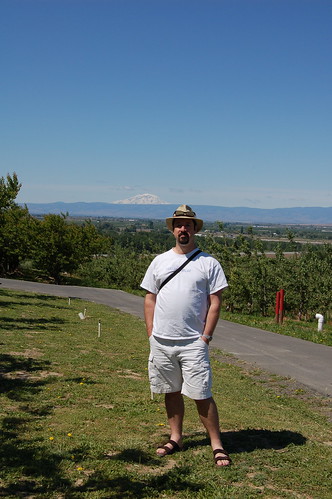
washington yakimavalley toppenishridge justlivingfarm
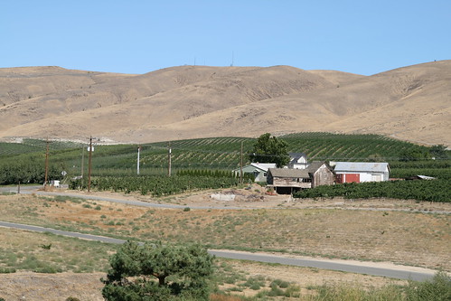
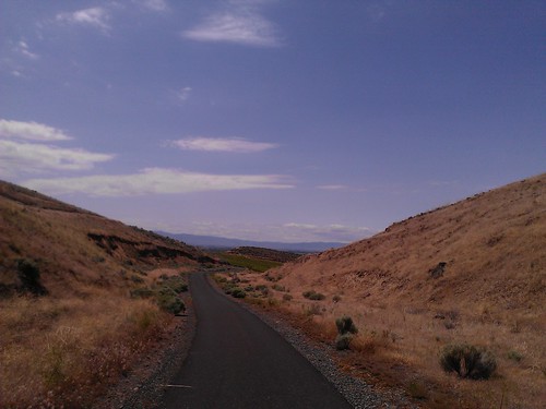
Toppenish Ridge
A wow view
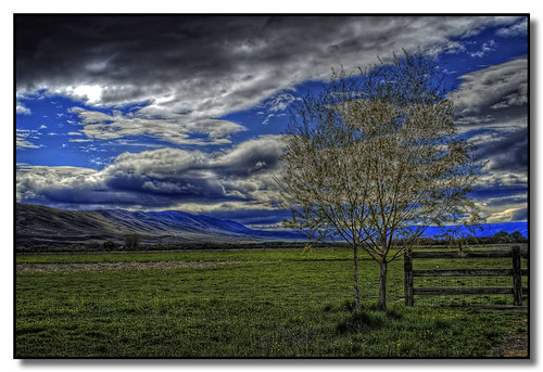
washington yakimavalley toppenishridge justlivingfarm
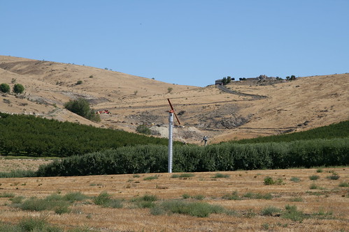
Toppenish Ridge
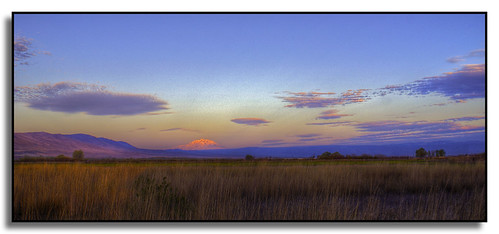
clouds sunrise washington mountadams yakimavalley phato toppenishridge justlivingfarm
Pohto at Sunrise
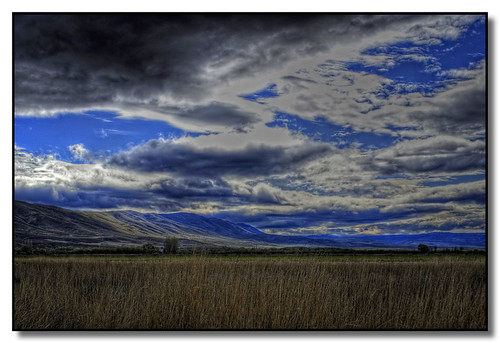
washington yakimavalley toppenishridge justlivingfarm
Toppenish Ridge
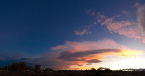
travel november sunset sky panorama usa moon nature weather clouds 35mm washington unitedstates iso400 noflash moonrise northamerica lightandshadow locations 2010 wapato manualmode 1635mm canoneos1dsmarkii yakimavalley camera:make=canon geo:state=washington exif:make=canon exif:iso_speed=400 exif:focal_length=35mm hasmetastyletag selfrating3stars 2010travel 130secatf56 geo:countrys=usa exif:lens=160350mm exif:model=canoneos1dsmarkii camera:model=canoneos1dsmarkii exif:aperture=ƒ56 subjectdistanceunknown oregon1112201011152010 november152010 geo:lat=46447548769232 geo:lon=12043108230769 geo:city=wapato 46°265118n120°25519w wapatowashingtonusa
Yakima Moonrise
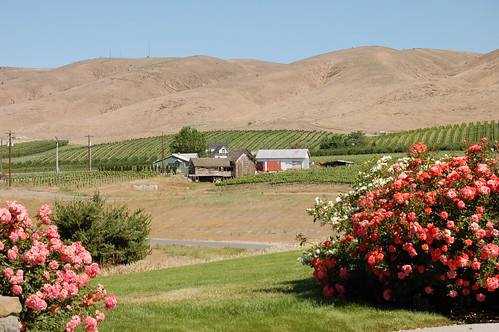
view from Sagelands
sunrise washington yakimavalley toppenishridge justlivingfarm
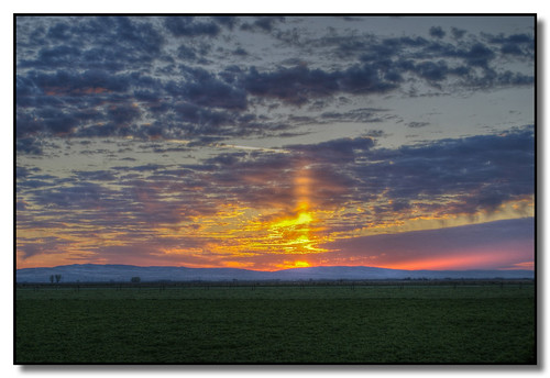
Sunrise in the Country
usa washington yakima wapato windypoint windypointvineyards
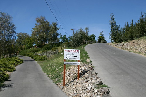
Windy Point Vineyards
usa washington yakima wapato sagelands sagelandsvineyard
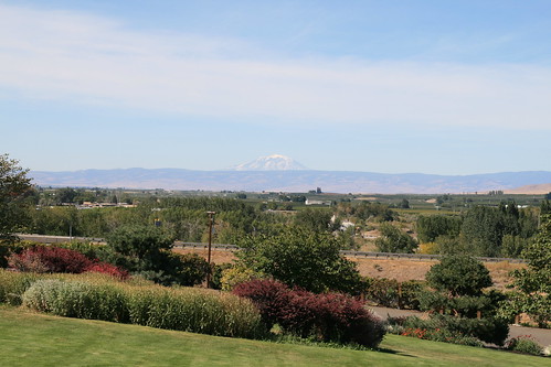
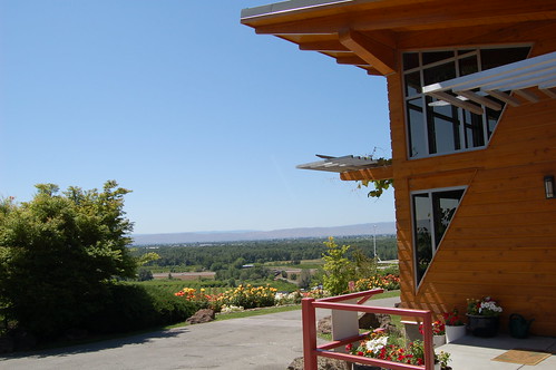
View from Sagelands Vineyard
usa washington yakima wapato sagelands sagelandsvineyard
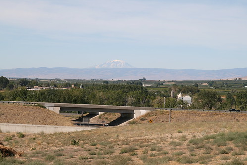
View from Sagelands Vineyard
usa washington yakima wapato sagelands sagelandsvineyard
View from Sagelands Vineyard
usa washington yakima wapato sagelands sagelandsvineyard
View from Sagelands Vineyard
Windy Point
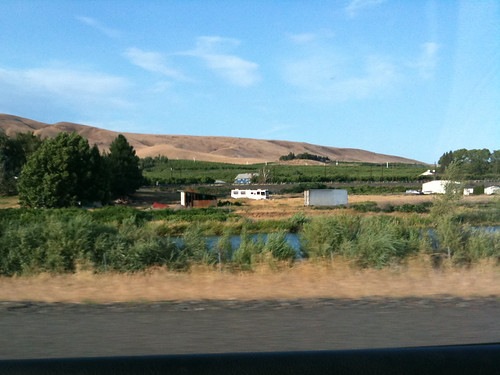
driving
Driving & Enjoying the View
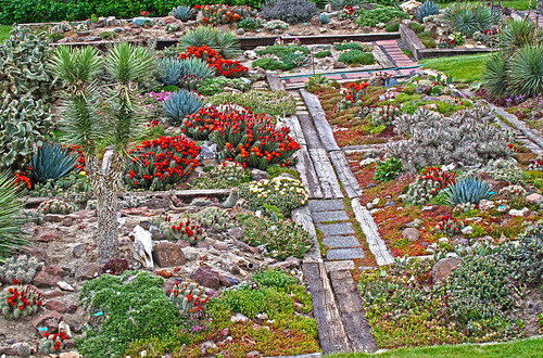
The Garden
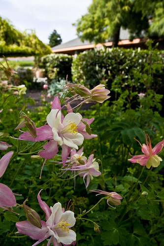
flower washington winery columbine yakima sagelands 200905100015
Sagelands Columbine
View from Windy Point
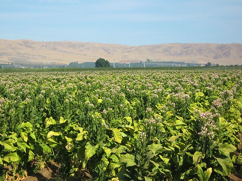
washingtonstate wapato yakimavalley tobaccofields tobaccofieldswashingtonstateyakimavalleywapato
Tobacco field Yakima Valley
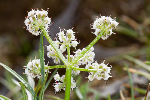
washington flora unitedstates organisms apiaceae apiales angiosperms eudicots lomatium coreeudicots asterids lomatiumgeyeriswatsonjmcoultrose penagroup vicwhiteswan
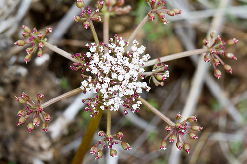
Lomatium geyeri
noflash hipstamatic blankofilm melodielens
Storm coming in
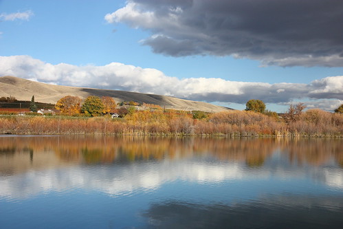
usa washingtonstate
Pond reflections
Road Trip
washington military civilwar reenactment reenactor uniongap wandering101photography
Battle of Union Gap-8559.jpg
autumn usa washingtonstate
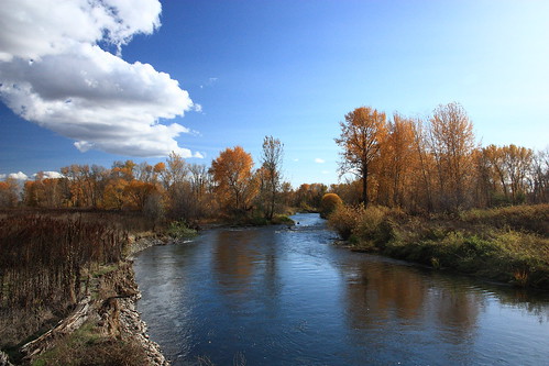
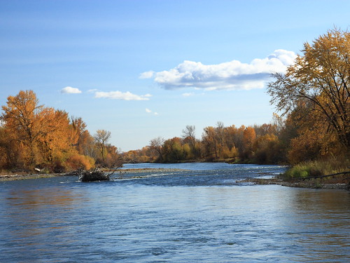
Yakima River
US Northwest
autumn usa washingtonstate yakimariver
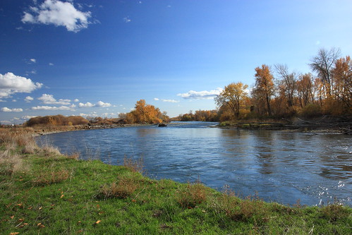
Yakima River
horses wildlife mustangs
Mustang Country
autumn usa river washingtonstate yakimariver
Yakima River
washington flora unitedstates organisms apiaceae apiales angiosperms eudicots lomatium coreeudicots asterids lomatiumcanbyijmcoultrosejmcoultrose penagroup vicwhiteswan
Lomatium canbyi
show park car dave washington union gap lindsay run un fulbright vintiques sal18250 socalcarculture socalcarculturecom
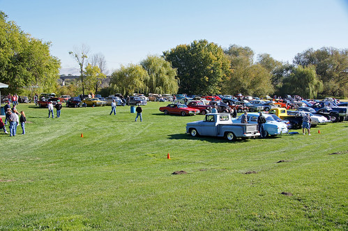
100612 Vintiques Un Run 002