Elevation of Harding Hwy, Newfield, NJ, USA
Location: United States > New Jersey > Atlantic County > Buena Vista Township >
Longitude: -74.871117
Latitude: 39.491735
Elevation: 28m / 92feet
Barometric Pressure: 101KPa
Elevation Map:
Satellite Map:
Related Photos:

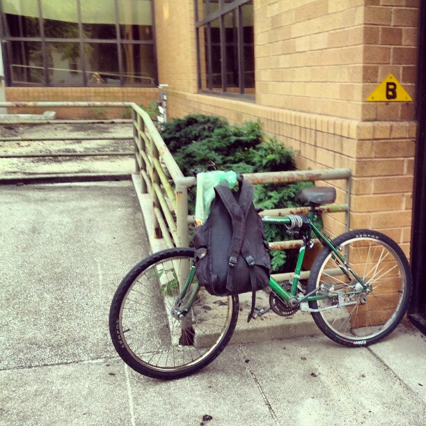
Vintage Military Tractor

Backhoe Bucket

Bucket tilt
A rear view of the Mays Landing Branch of the ACLS, from River Road...
View of Downtown Vineland NJ
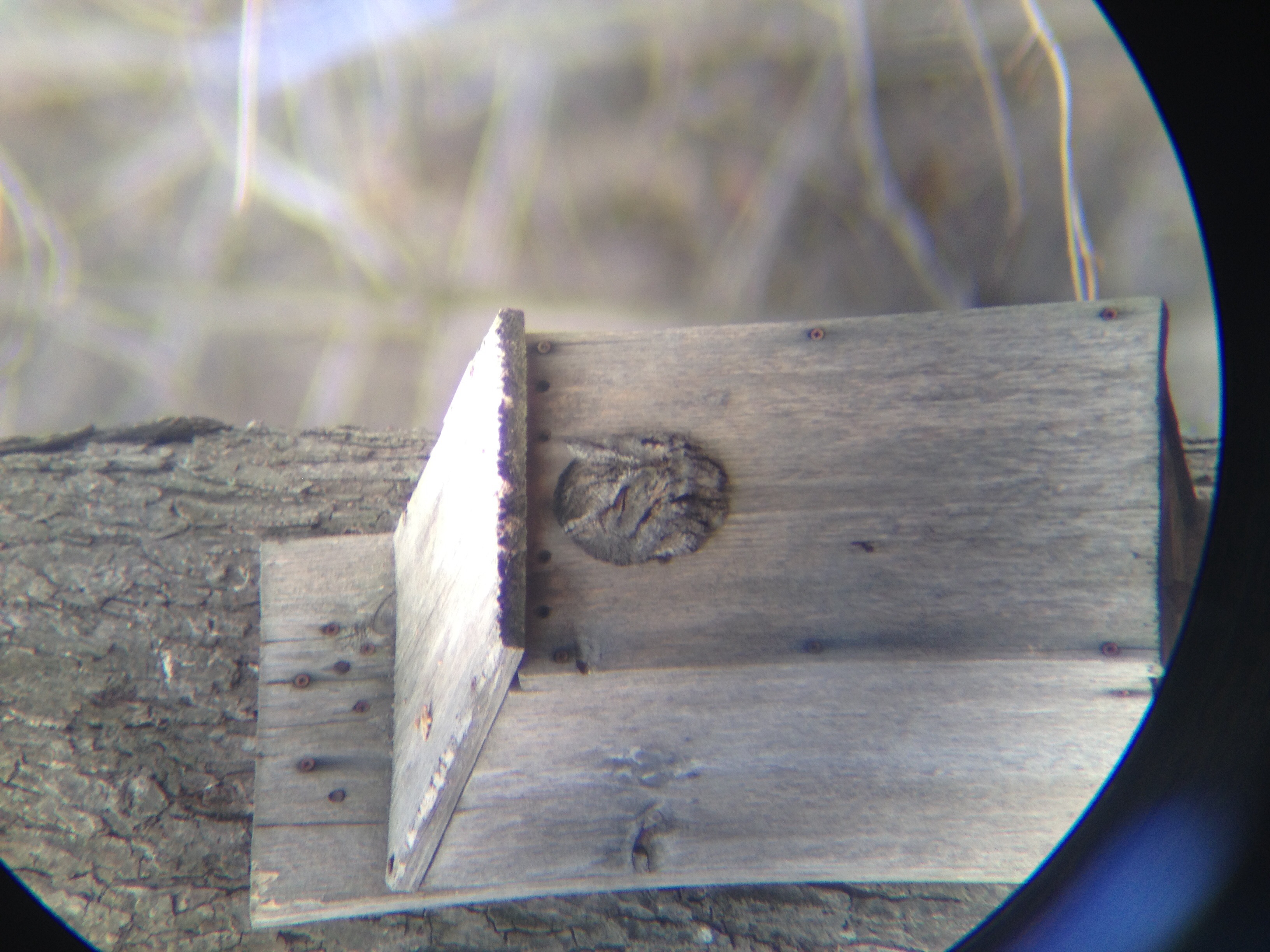
Eastern Screech-Owl

N West Blvd, Vineland, NJ

High water at Weymouth

White-throated Sparrow

Leucistic Red-tailed Hawk

Back view
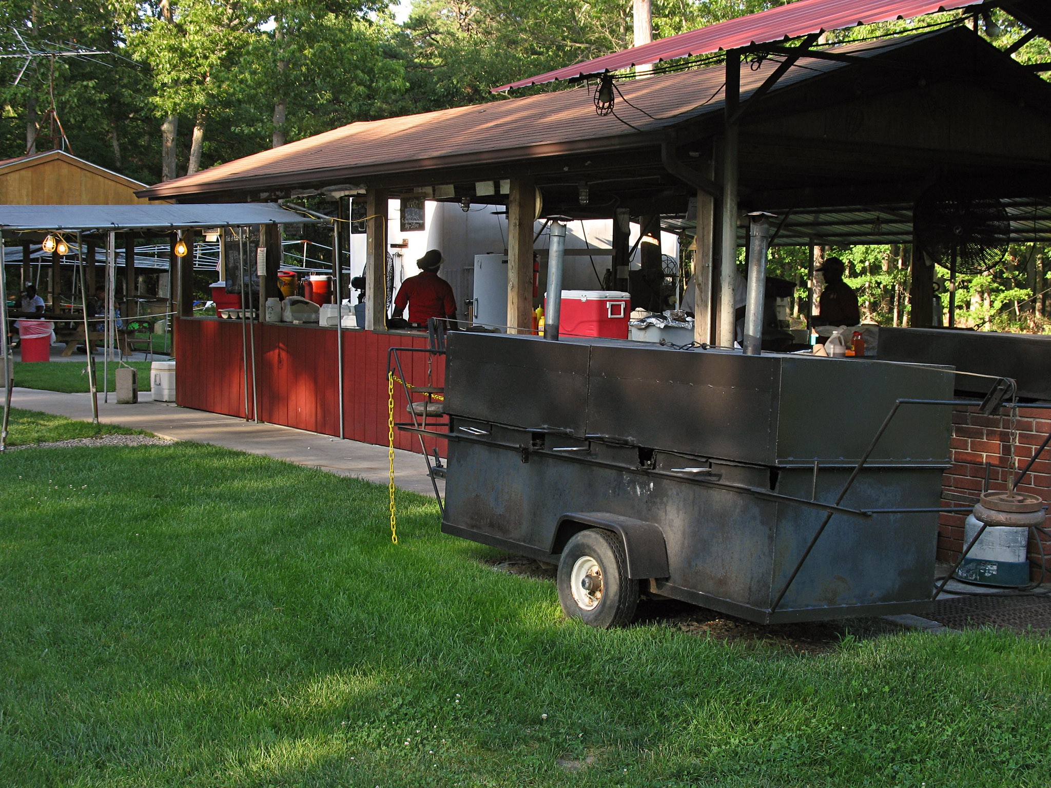
Uncle Dewey's

5 mile view

Beauty is Everywhere (Point of view) 01-31-13

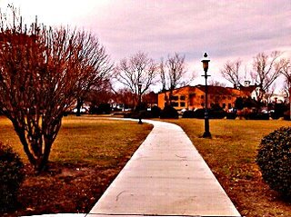
entry view
Arrived, at Mays Landing Branch of Atlantic County Library System, to view the Thunder Over the Boardwalk Air Show Finale; online and other computer computer, related matters...
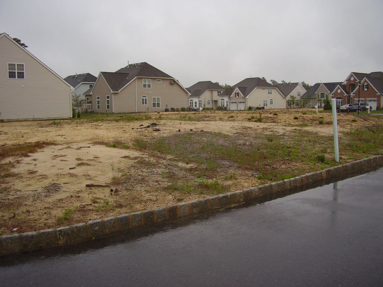
NE Corner Lot, Lewis & Vender, P5200137

View of the on-going work, on the new, Gaskill Park Restrooms
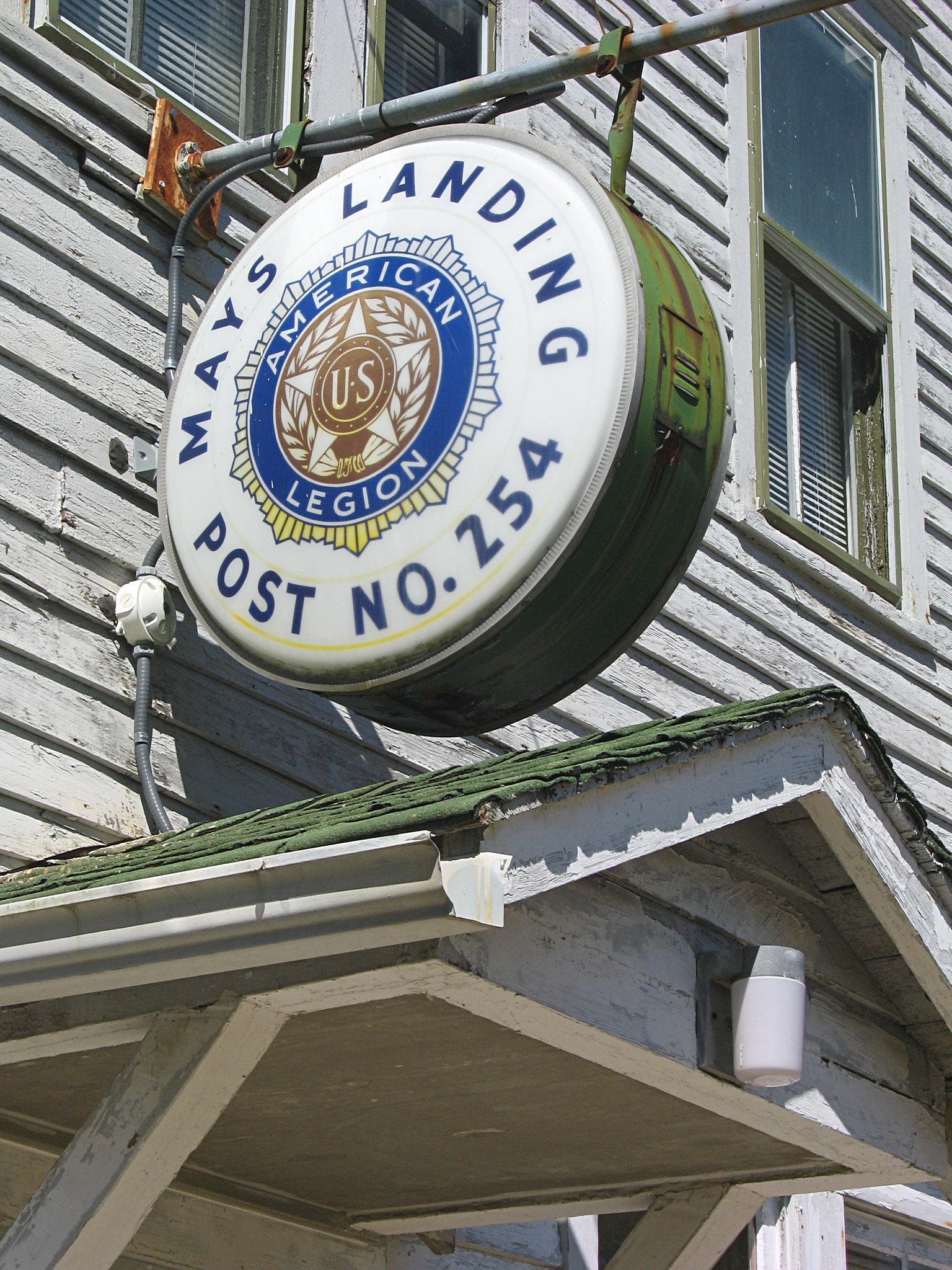
Post 254
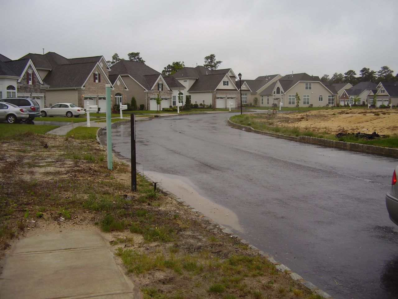
Southerly view on Vender, P5200144
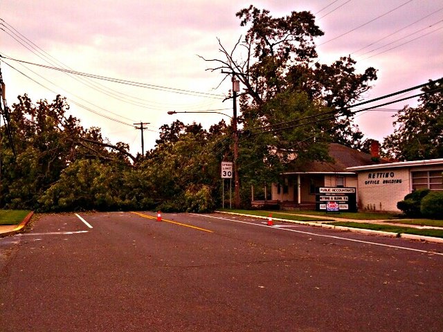
Route 50; blocked, viewed (4th St), in front of Wawa (3rd St.); with trees ...
Giampietro Park 12-29-14

dawning of the day

Landis Park 01-07-15
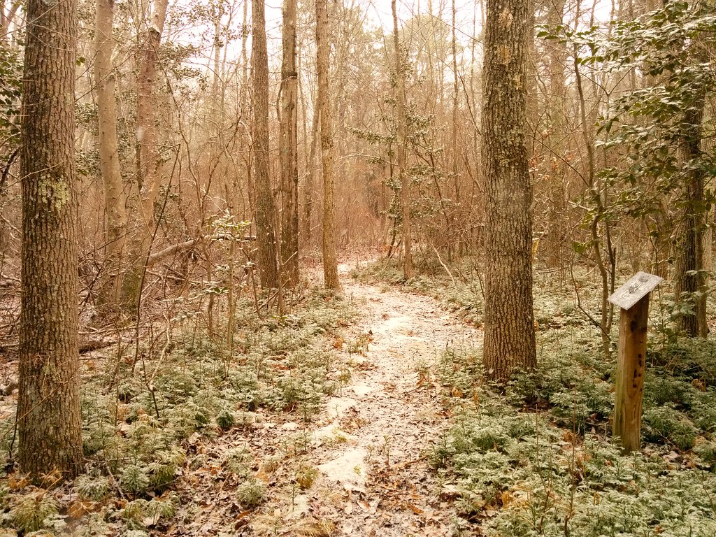
Willow Oak Nature Area with a bit of snow

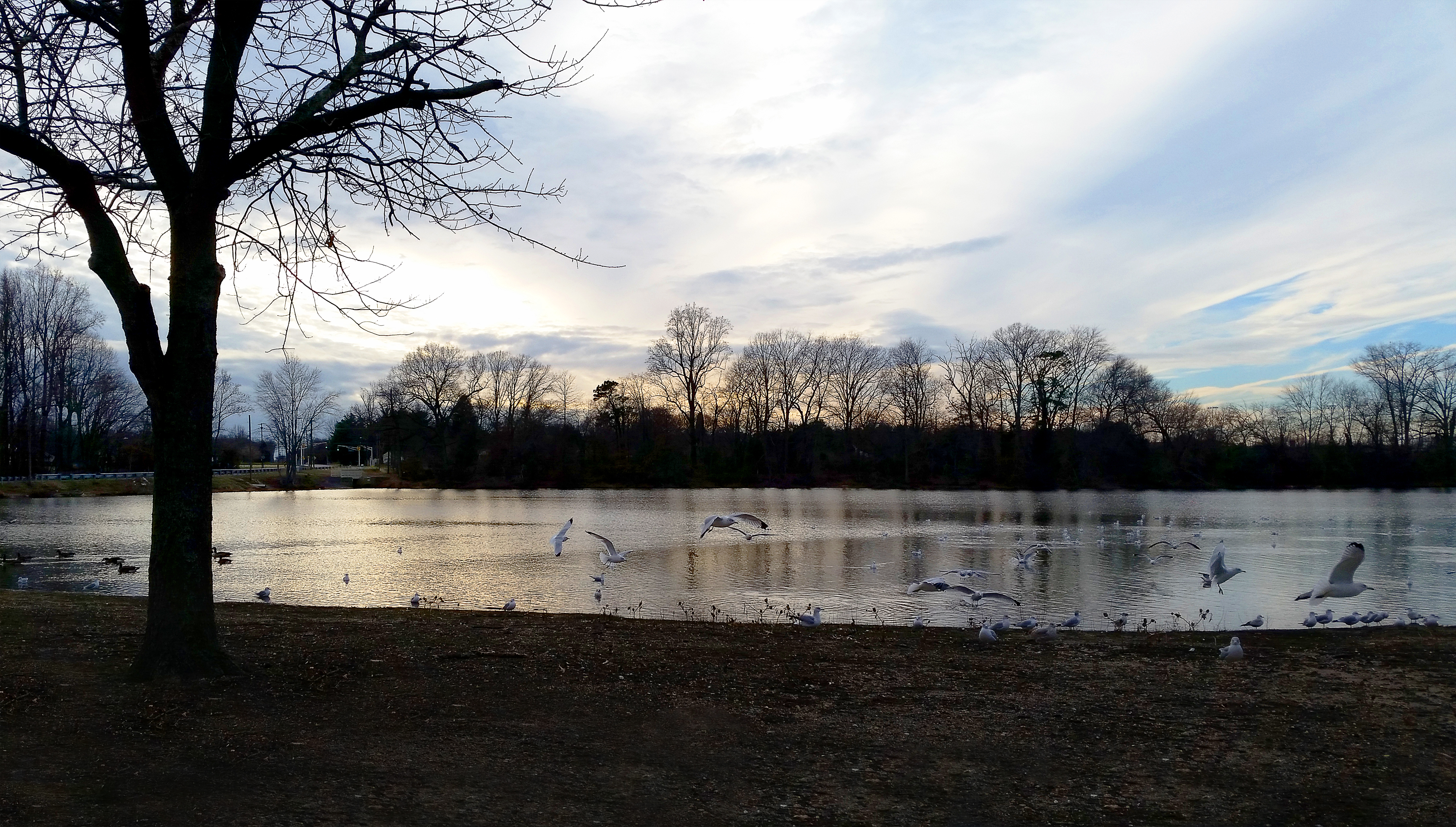
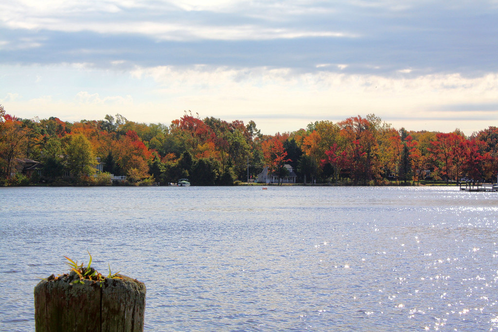
Lake Lenape Sunset
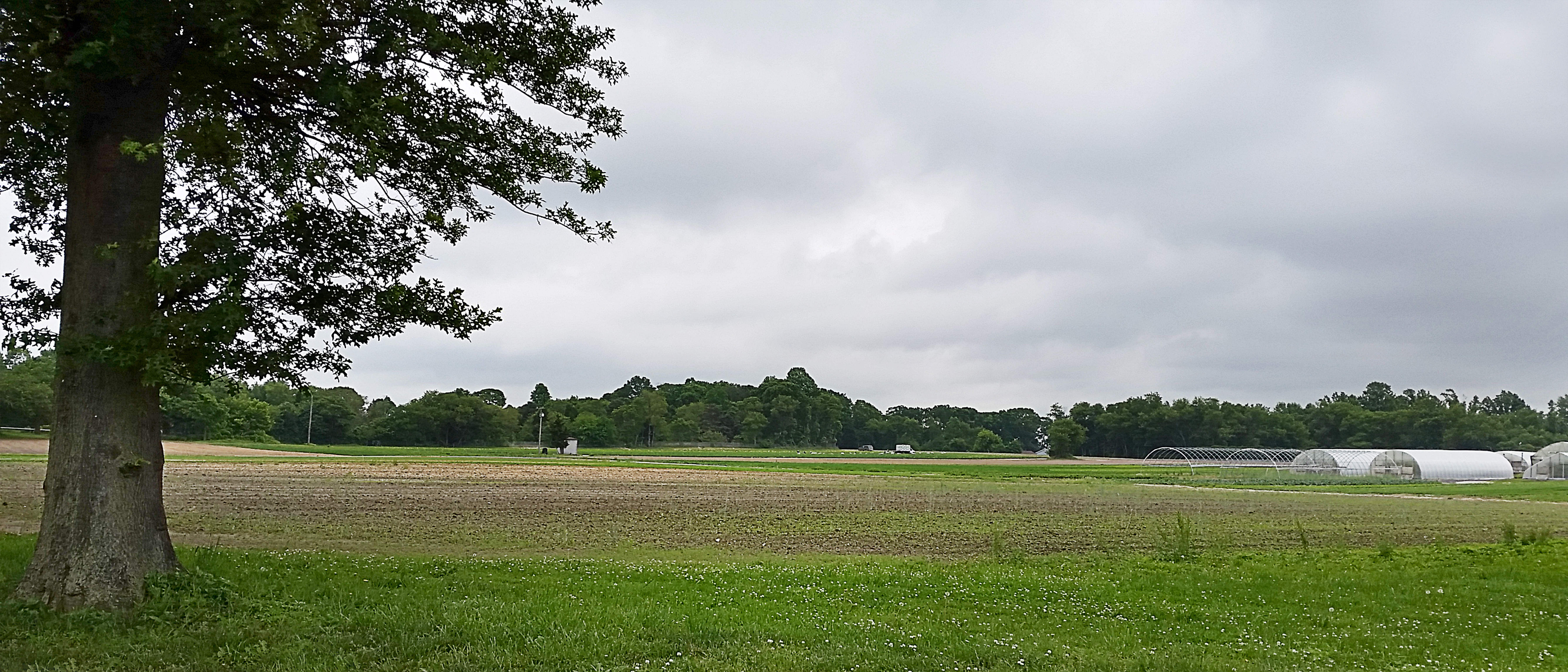
Farm 05-30-14

Life In The Dead Zone

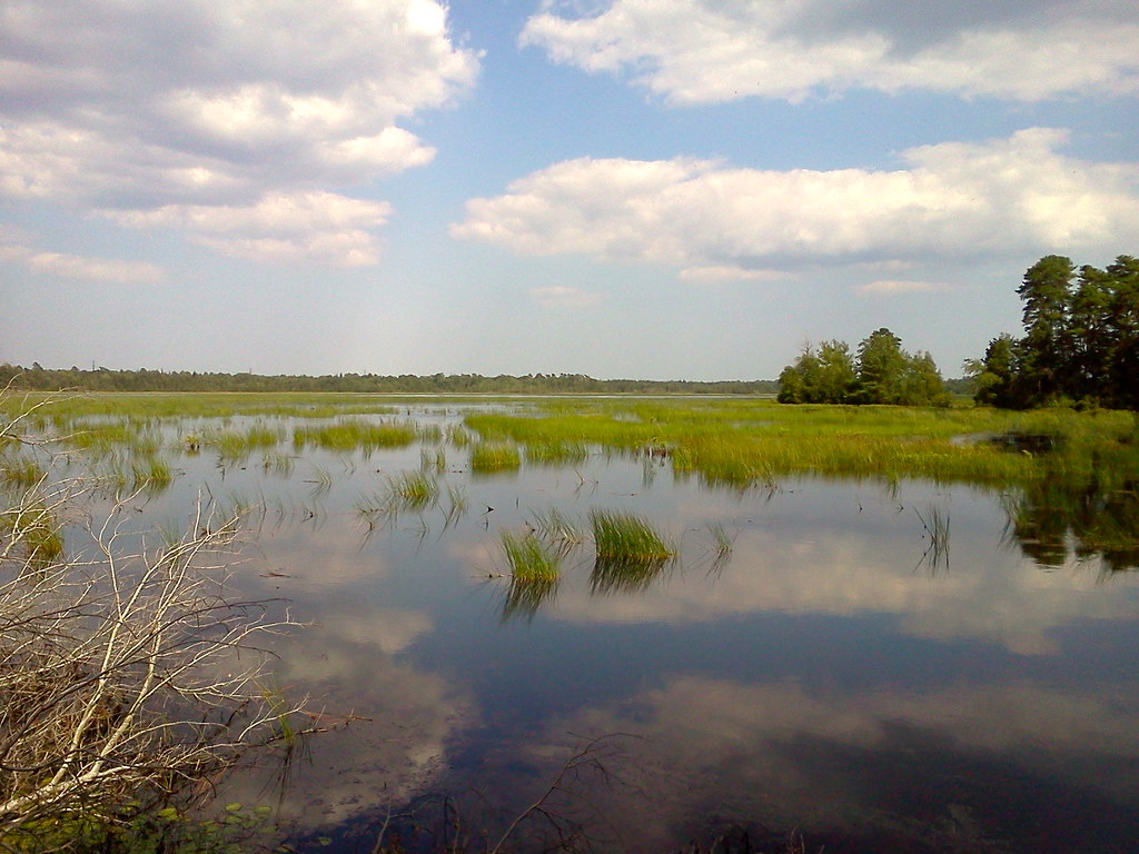
river 034

morning fog 3

Spring Flow

Intense Sky (high dynamic range) 09-25-13

Catching The Morning Sun

HanceBridge Road 04-09-14

Out in the woods....

morning fog 1
Makepeace Lake WMA
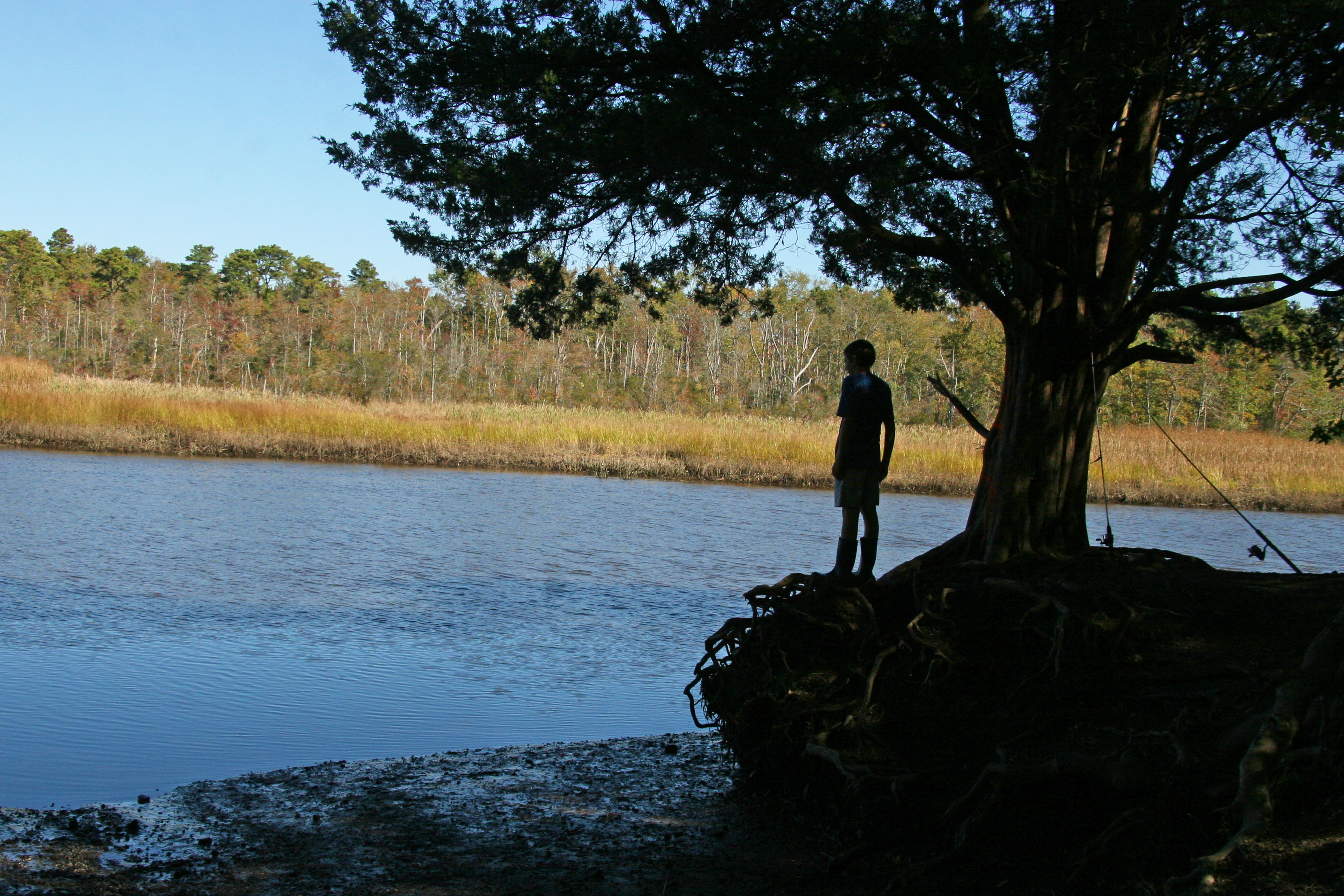
boy fisherman silhouette

river 039

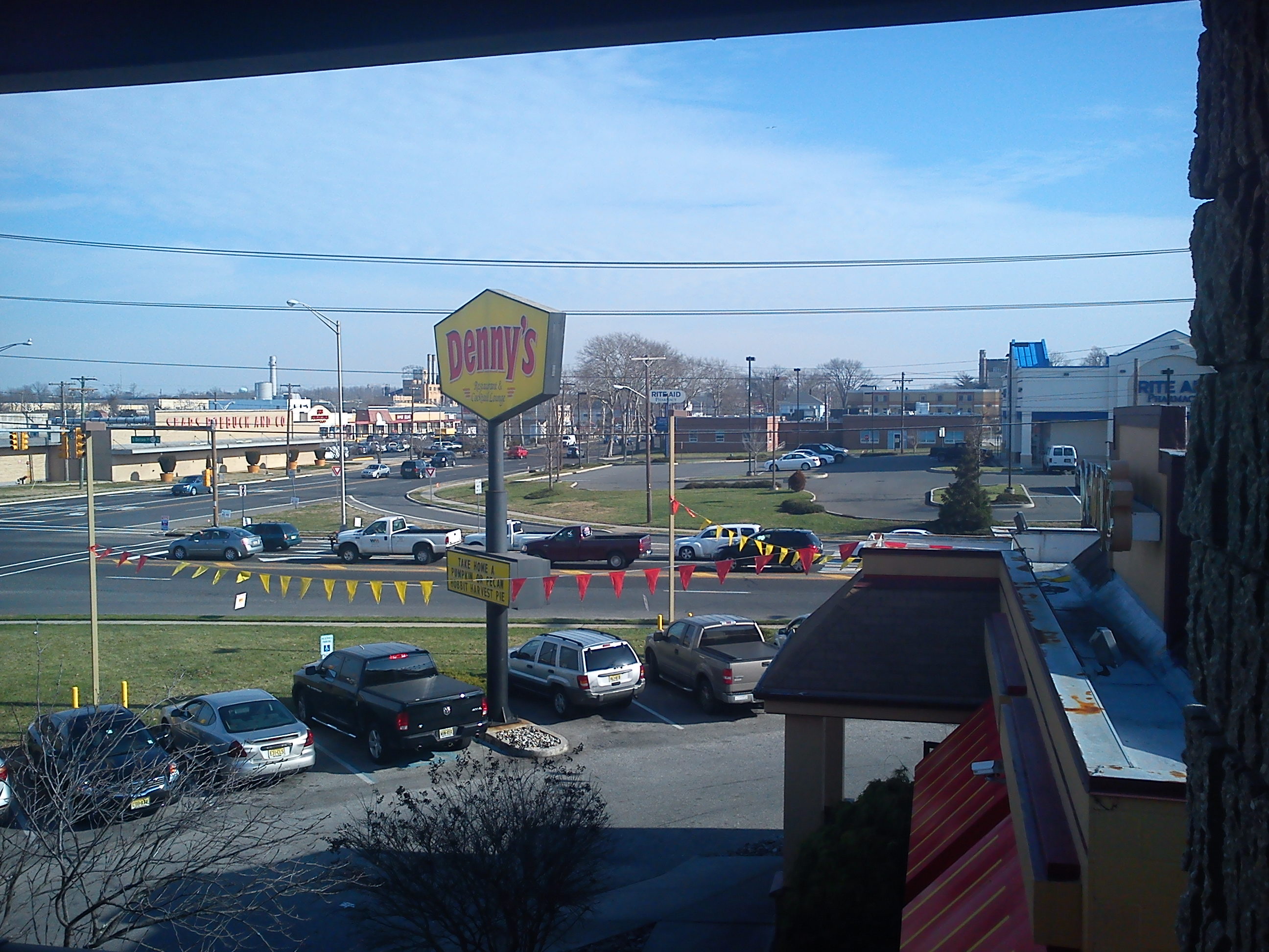
Downstown Airport
Mays Landing
Image-D37BF8F054B611DA
Topographic Map of Harding Hwy, Newfield, NJ, USA
Find elevation by address:

Places near Harding Hwy, Newfield, NJ, USA:
Richland
1275 Harding Hwy
Walnut Ln, Buena, NJ, USA
6466 Jefferson Ave
Fulton Ave, Mays Landing, NJ, USA
1006 Tuckahoe Rd
827 Weymouth Rd
232 Don Rd
5952 Pittsburgh Ave
7291 Weymouth Rd
Gale Ave, Mays Landing, NJ, USA
7013 Bridge Rd
7017 Bridge Rd
Weymouth
Nelson Ave, Mays Landing, NJ, USA
6202 Nelson Ave
185 Cumberland Ave
Hamilton Township
Mays Landing
Estell Manor
Recent Searches:
- Elevation of Corso Fratelli Cairoli, 35, Macerata MC, Italy
- Elevation of Tallevast Rd, Sarasota, FL, USA
- Elevation of 4th St E, Sonoma, CA, USA
- Elevation of Black Hollow Rd, Pennsdale, PA, USA
- Elevation of Oakland Ave, Williamsport, PA, USA
- Elevation of Pedrógão Grande, Portugal
- Elevation of Klee Dr, Martinsburg, WV, USA
- Elevation of Via Roma, Pieranica CR, Italy
- Elevation of Tavkvetili Mountain, Georgia
- Elevation of Hartfords Bluff Cir, Mt Pleasant, SC, USA