Elevation map of Harding County, NM, USA
Location: United States > New Mexico >
Longitude: -103.82162
Latitude: 35.8925537
Elevation: 1381m / 4531feet
Barometric Pressure: 86KPa
Elevation Map:
Satellite Map:
Related Photos:

Sunset over Mosquero

Sunset Over Harding County, Too

Tucumcari New Mexico
Harding New Mexico

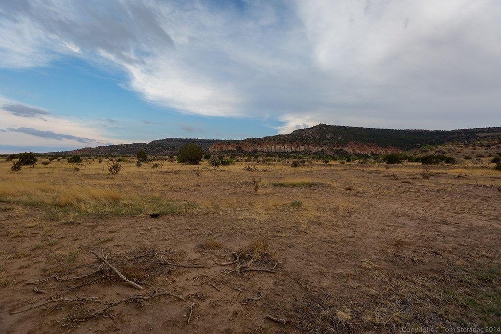
Eroded Hillside 2
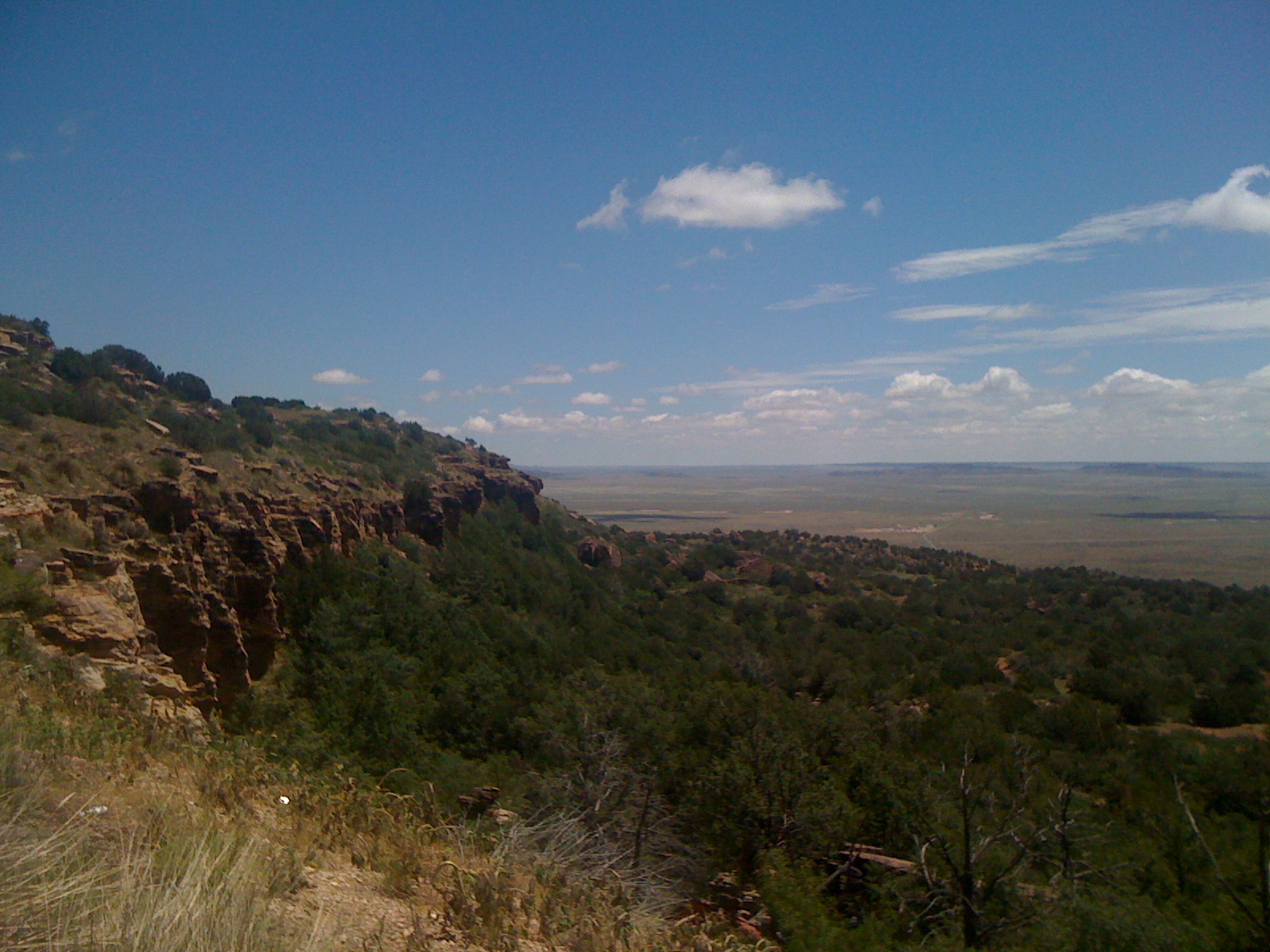
nm overlook dos

NM overlook

Eroded Hillside

Albert, NM

San Isidro Church; Albert, NM

Ghost town, Harding county; New Mexico

Corral; Albert, NM
Topographic Map of Harding County, NM, USA
Find elevation by address:

Places in Harding County, NM, USA:
Places near Harding County, NM, USA:
Bueyeros
Sofia
Union County
Logan
South Pole
Q R a E, Tucumcari, NM, USA
Stead
Tucumcari
Tucumcari Koa Journey
Clayton
Main St, Clayton, NM, USA
Bell Road
Bell Road
Bell Road
Yoder Rd, Dalhart, TX, USA
Texline
Glenrio
Glenrio
Boise
Adrian
Recent Searches:
- Elevation of Corso Fratelli Cairoli, 35, Macerata MC, Italy
- Elevation of Tallevast Rd, Sarasota, FL, USA
- Elevation of 4th St E, Sonoma, CA, USA
- Elevation of Black Hollow Rd, Pennsdale, PA, USA
- Elevation of Oakland Ave, Williamsport, PA, USA
- Elevation of Pedrógão Grande, Portugal
- Elevation of Klee Dr, Martinsburg, WV, USA
- Elevation of Via Roma, Pieranica CR, Italy
- Elevation of Tavkvetili Mountain, Georgia
- Elevation of Hartfords Bluff Cir, Mt Pleasant, SC, USA