Elevation of Boise, TX, USA
Location: United States > Texas > Oldham County >
Longitude: -102.85916
Latitude: 35.214444
Elevation: 1220m / 4003feet
Barometric Pressure: 87KPa
Elevation Map:
Satellite Map:
Related Photos:
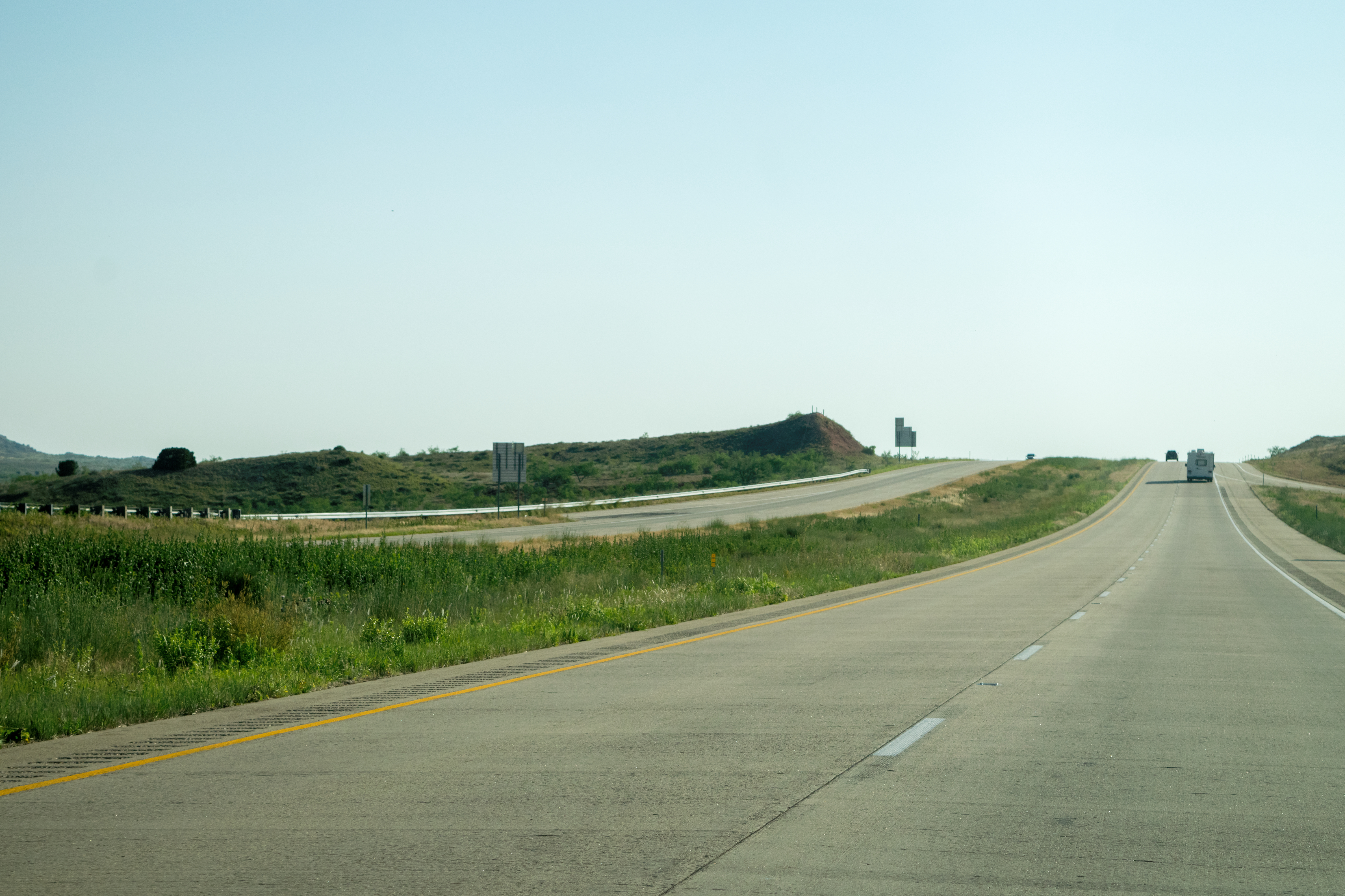
Up a little hill...
Ivy Road...

Santa Fe Boxcar Wide

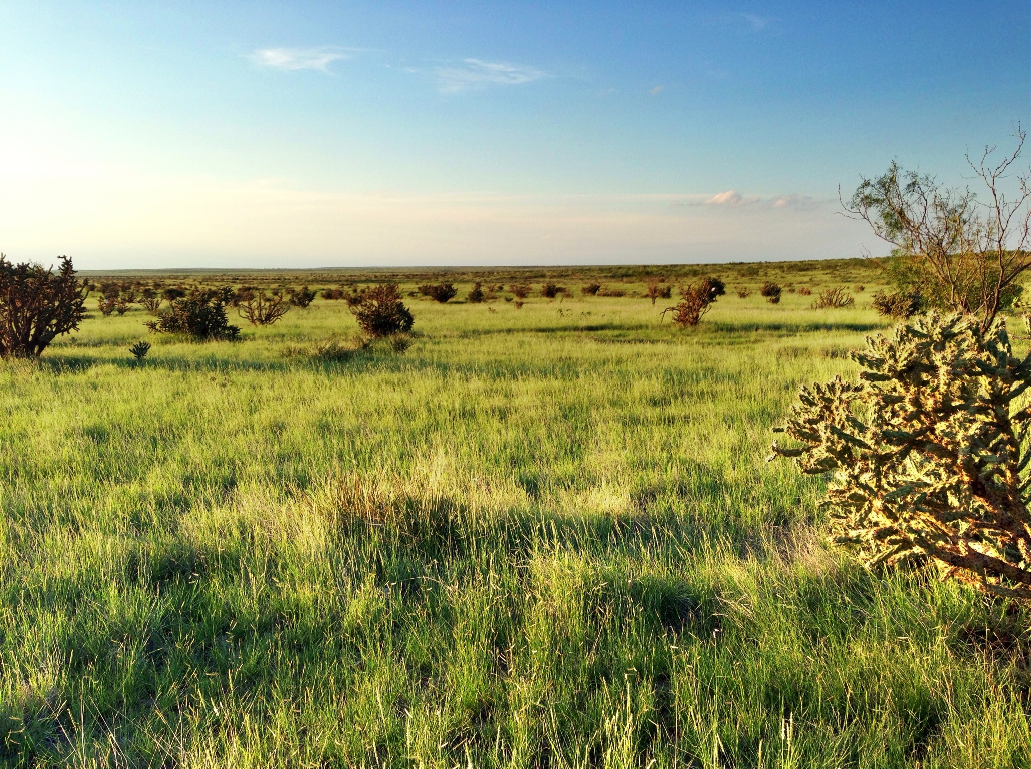
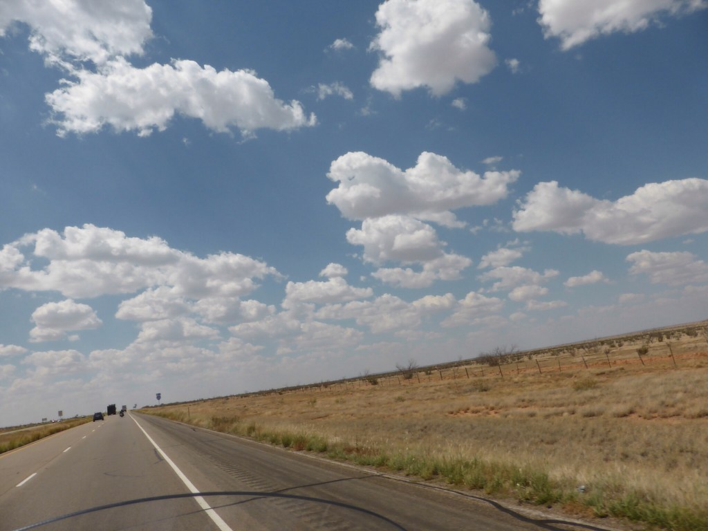
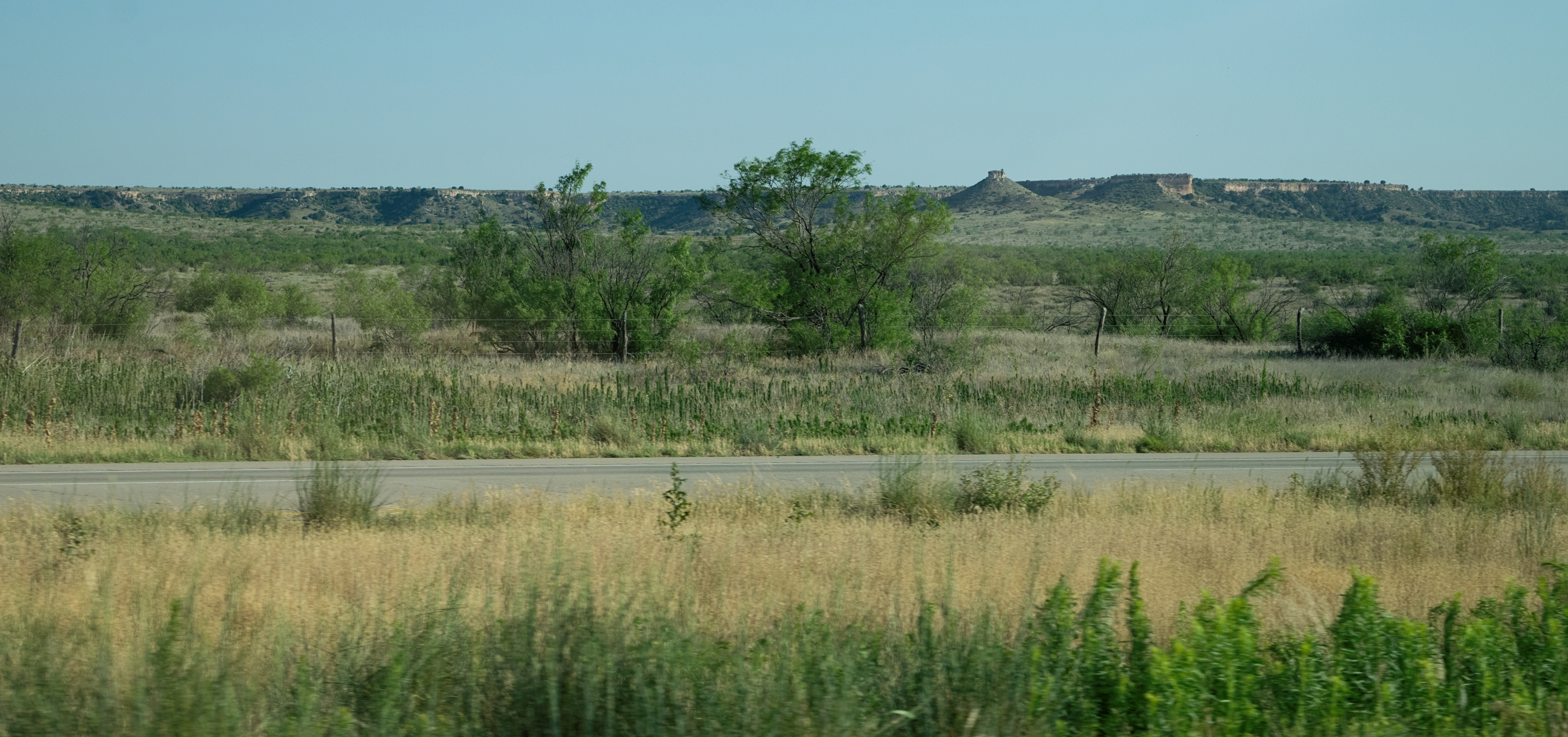
Endless expanse
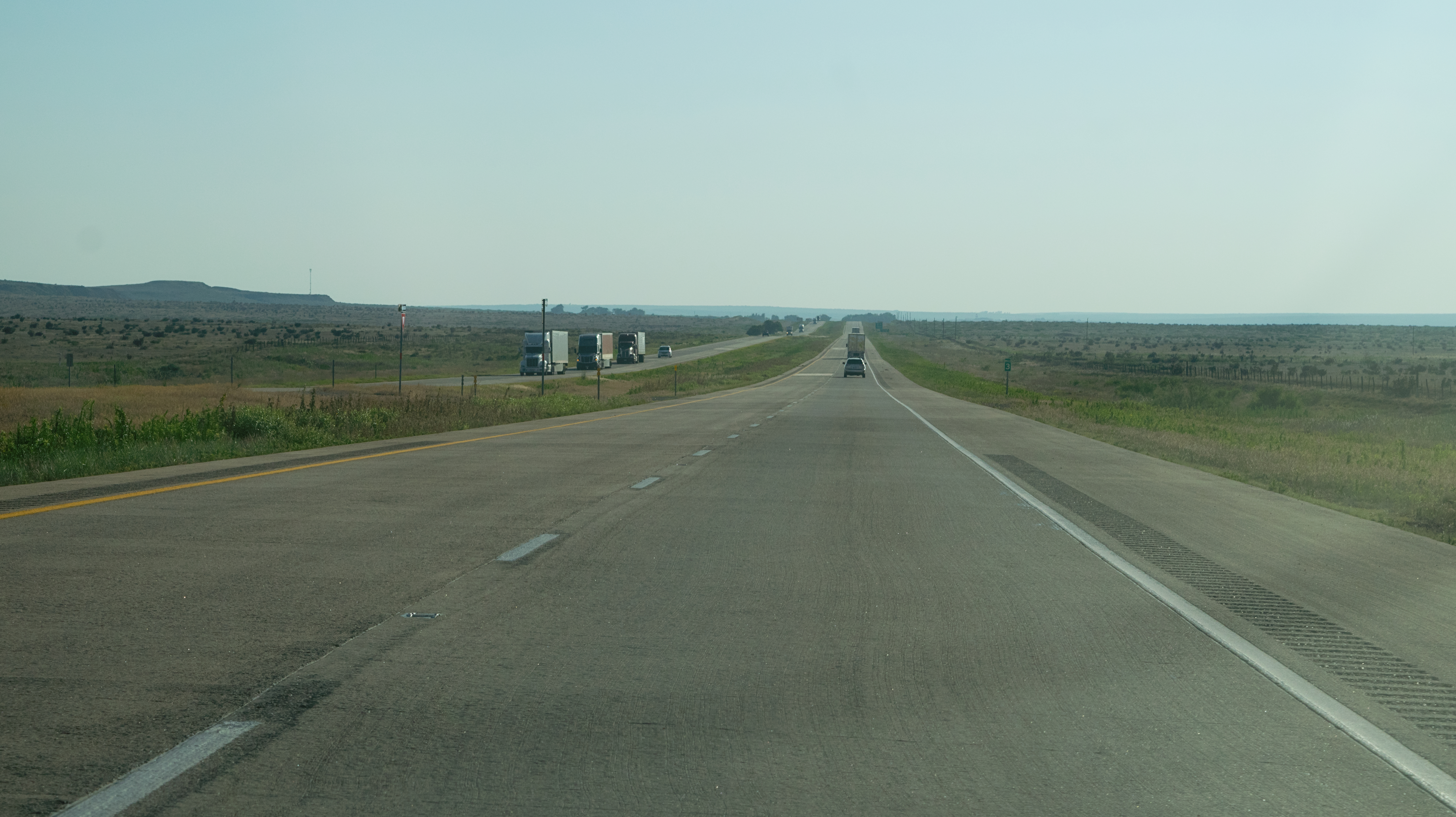
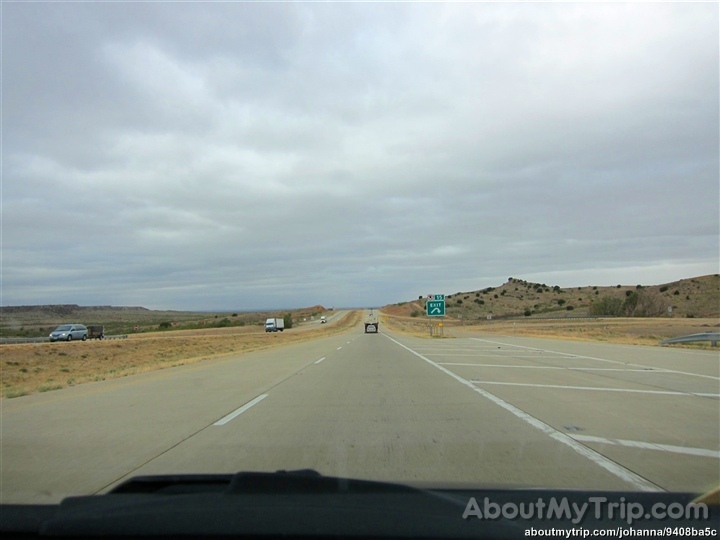
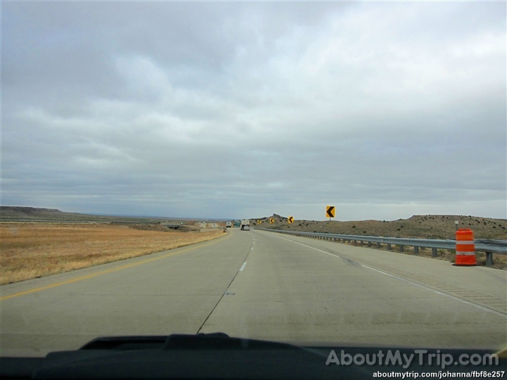
Road Trip Photos
Road Trip Photos

Dia 7/9
Dia 7/9
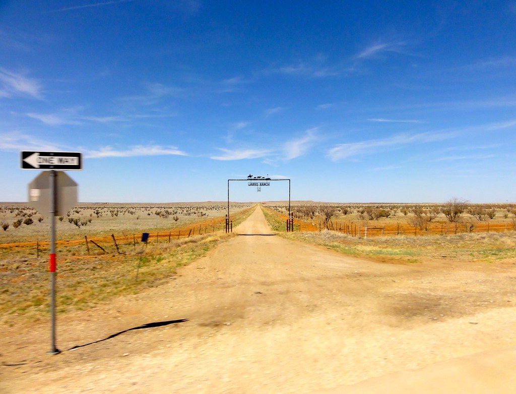
Jarvis Ranch

Road Trip Photos
Going Lower...
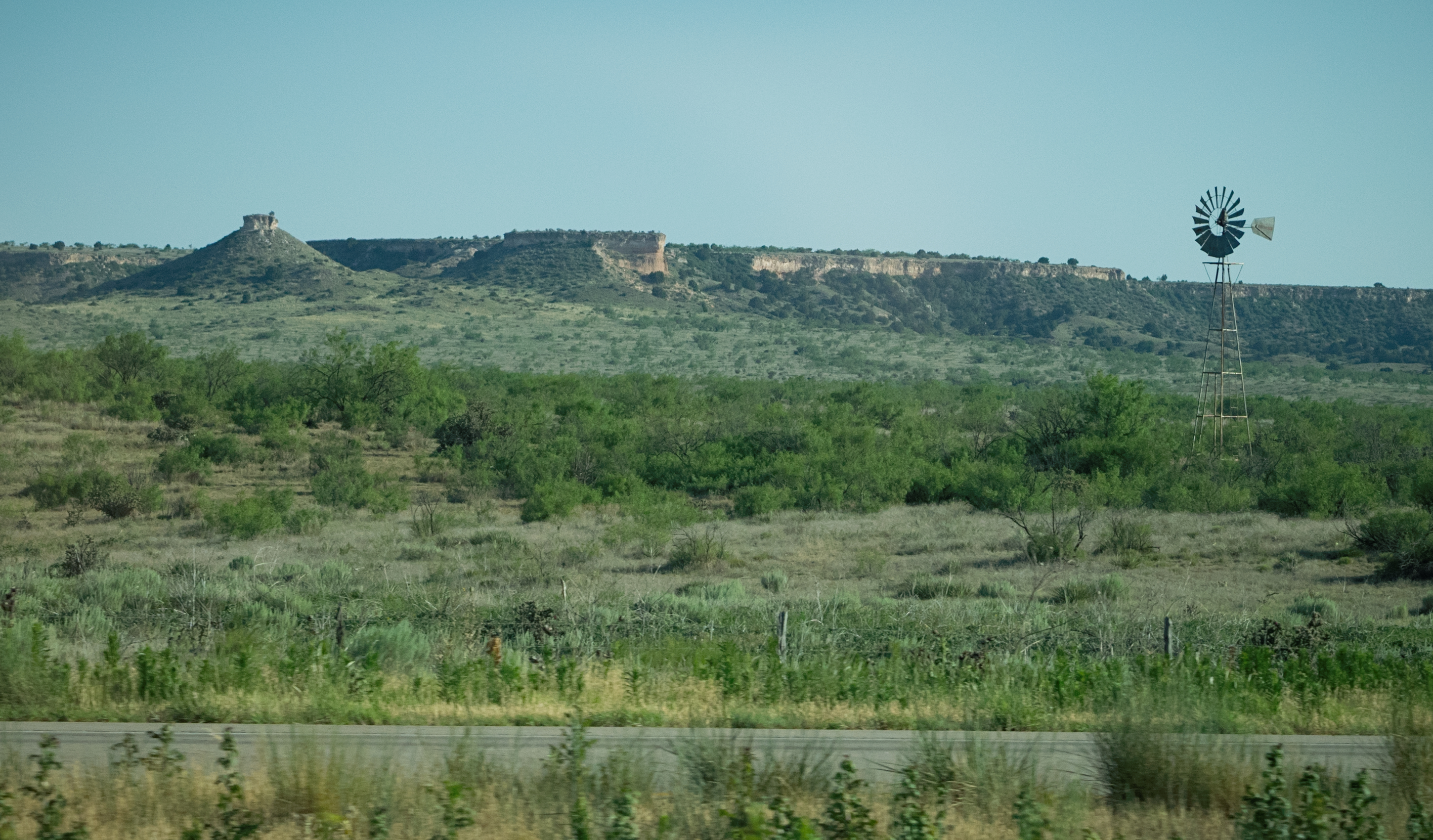
Lone Windmill...
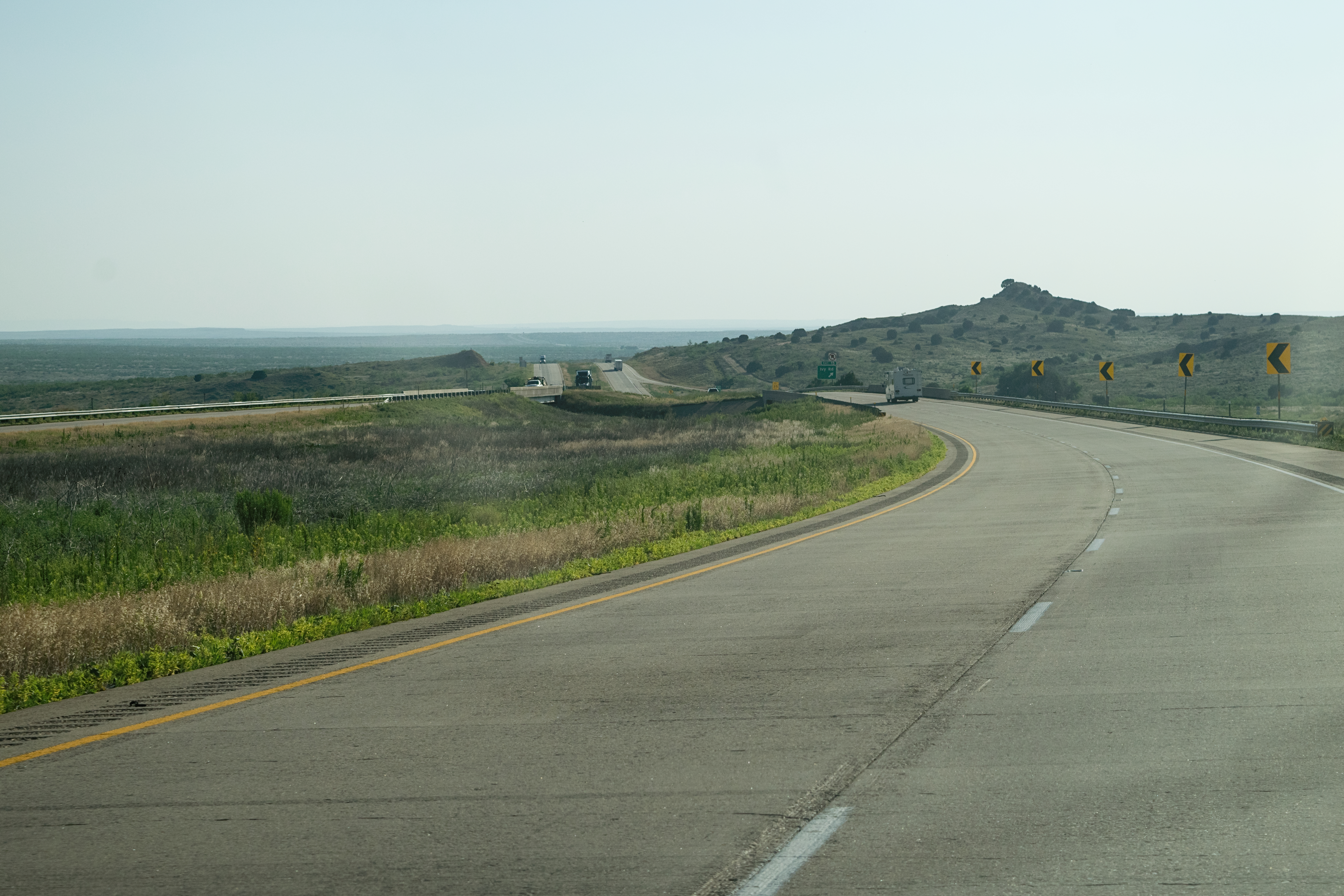
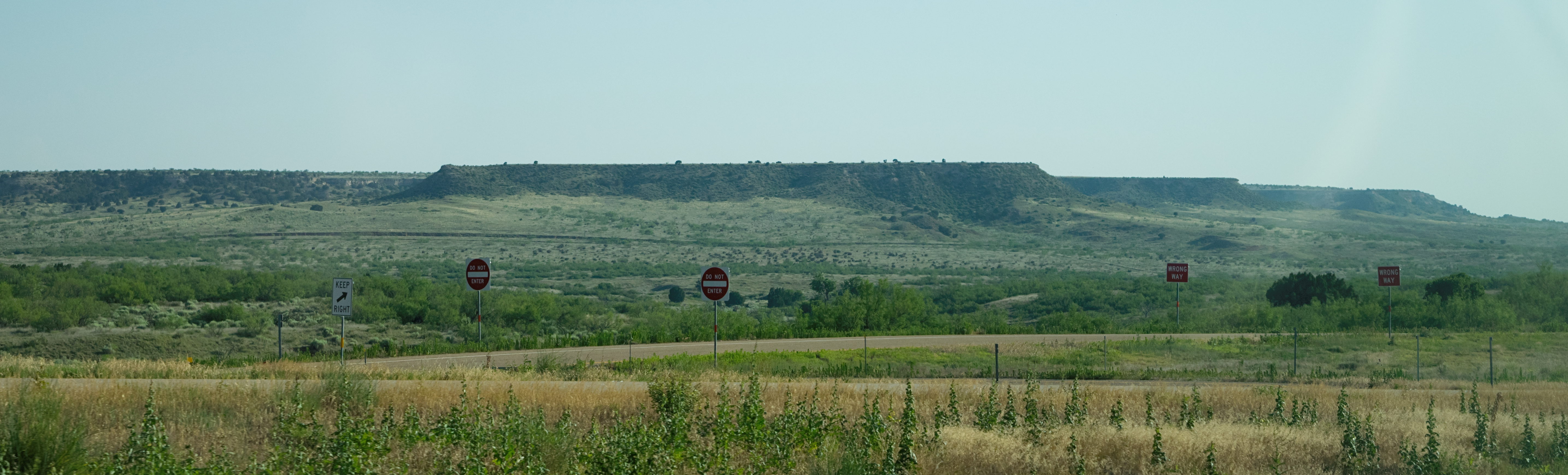
Plateau...
Mile 3...

Adrian - Abandoned Gas Station
CAtripDay4-3 (24)
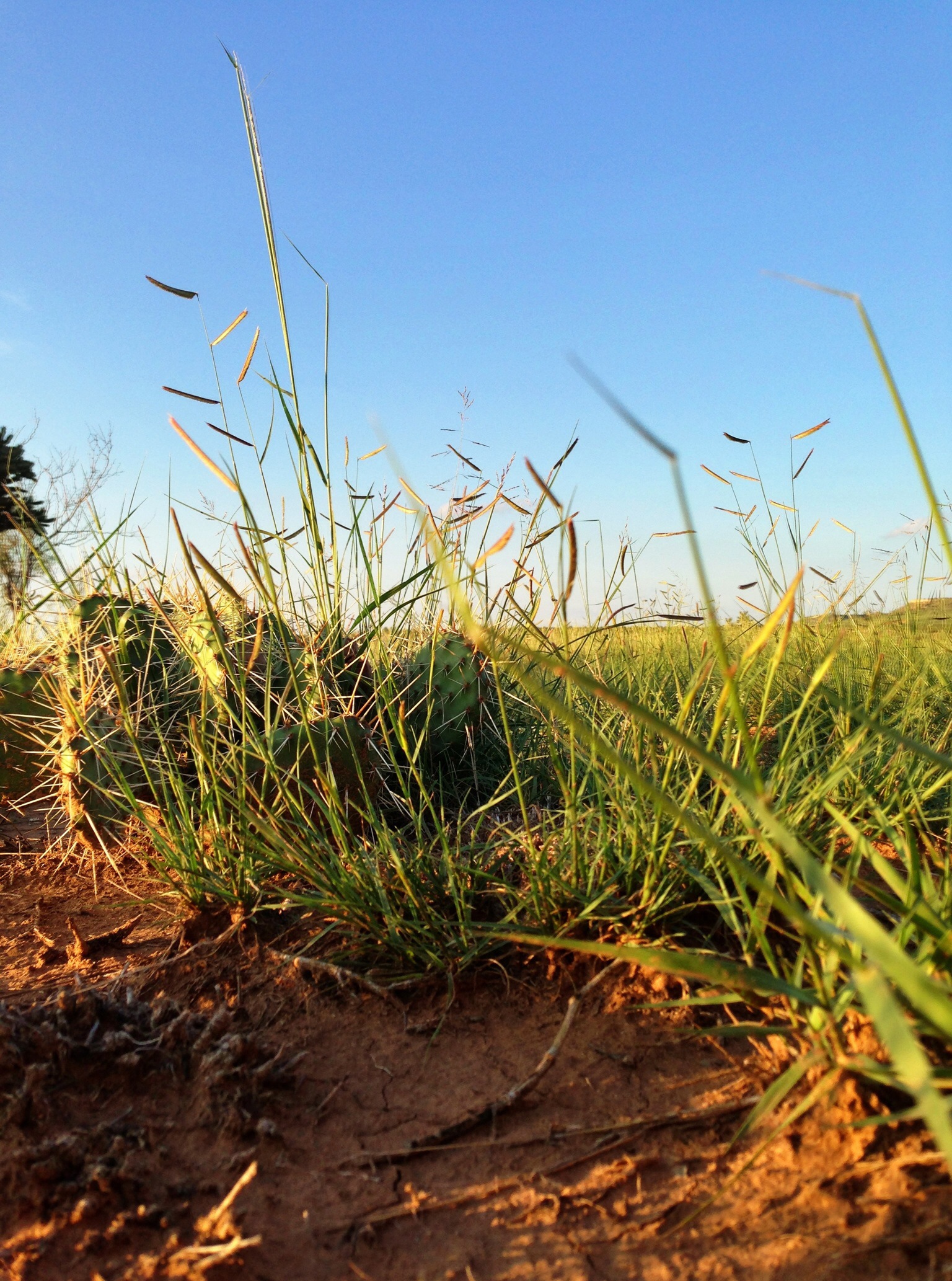
Nature...

Adrian - Selfservice
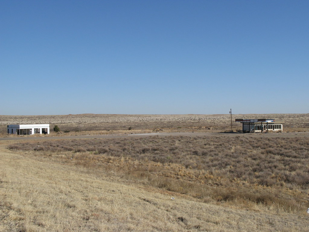
Abandoned gas stations at Texas I-40 Exit 0
Oldham County, Texas
Oldham County, Texas
Topographic Map of Boise, TX, USA
Find elevation by address:

Places near Boise, TX, USA:
Glenrio
Glenrio
Adrian
Logan
South Pole
Q R a E, Tucumcari, NM, USA
Tucumcari Koa Journey
Tucumcari
Yoder Rd, Dalhart, TX, USA
Bueyeros
Texline
Harding County
Bell Road
Bell Road
Bell Road
Stead
Union County
Main St, Clayton, NM, USA
Clayton
Sofia
Recent Searches:
- Elevation of Corso Fratelli Cairoli, 35, Macerata MC, Italy
- Elevation of Tallevast Rd, Sarasota, FL, USA
- Elevation of 4th St E, Sonoma, CA, USA
- Elevation of Black Hollow Rd, Pennsdale, PA, USA
- Elevation of Oakland Ave, Williamsport, PA, USA
- Elevation of Pedrógão Grande, Portugal
- Elevation of Klee Dr, Martinsburg, WV, USA
- Elevation of Via Roma, Pieranica CR, Italy
- Elevation of Tavkvetili Mountain, Georgia
- Elevation of Hartfords Bluff Cir, Mt Pleasant, SC, USA