Elevation of Haparanda, Sweden
Location: Sweden > Norrbotten County >
Longitude: 23.8346463
Latitude: 65.9662503
Elevation: 60m / 197feet
Barometric Pressure: 101KPa
Elevation Map:
Satellite Map:
Related Photos:
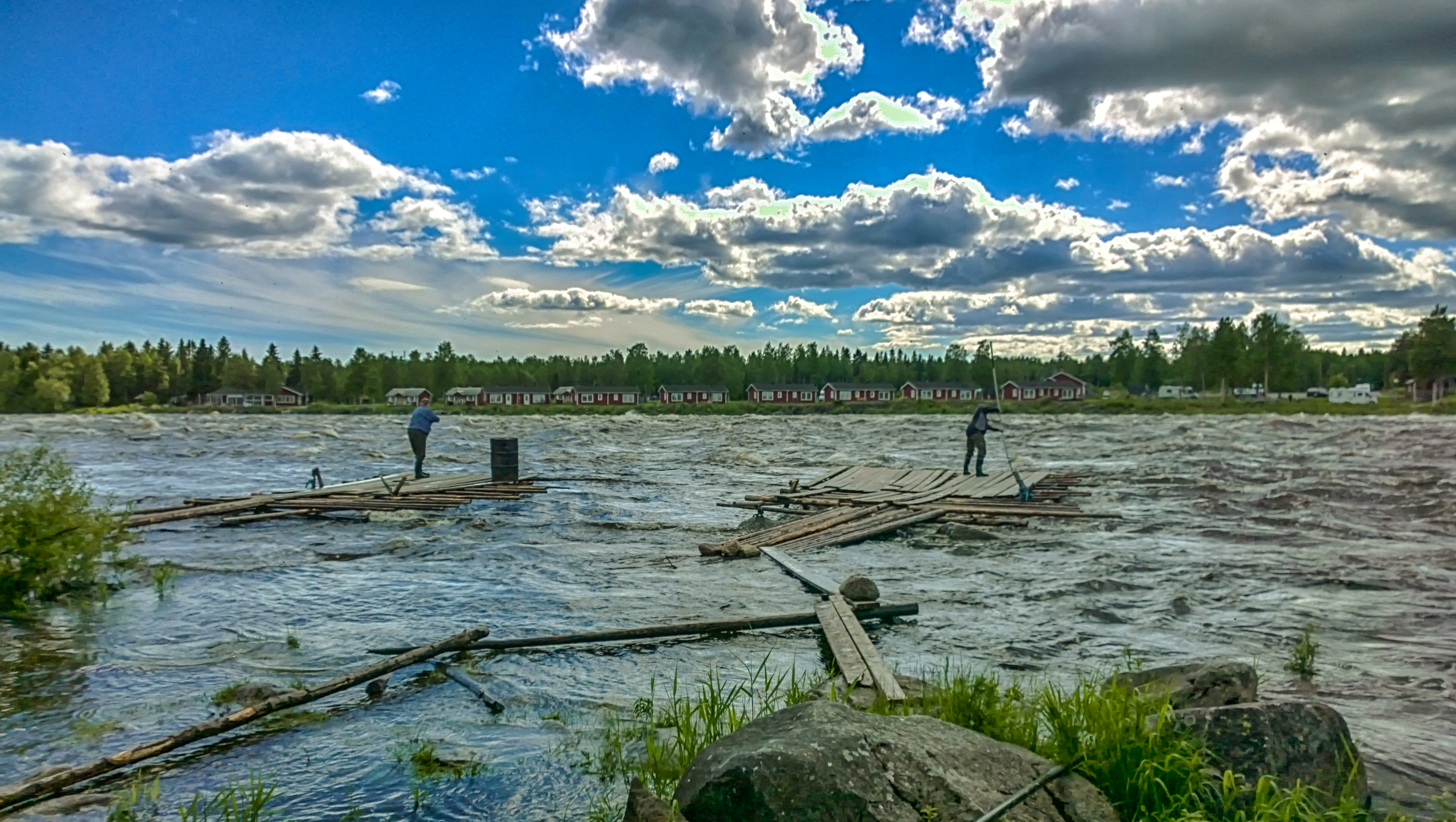
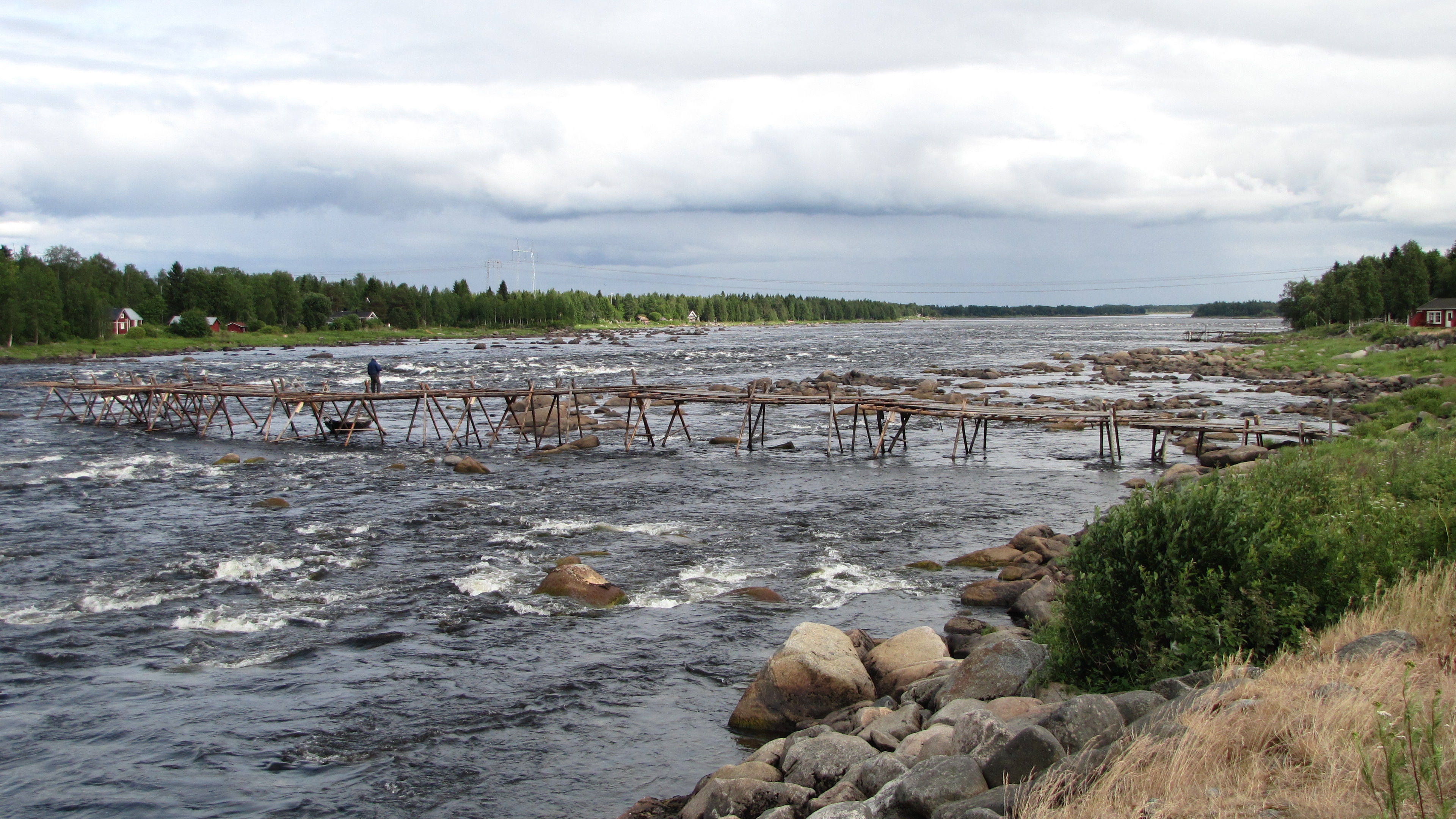
22.6.2016 Keskiviikko Wednesday Tornio Kukkolankoski Tornionjoki Finland
kukkolaforsen 3
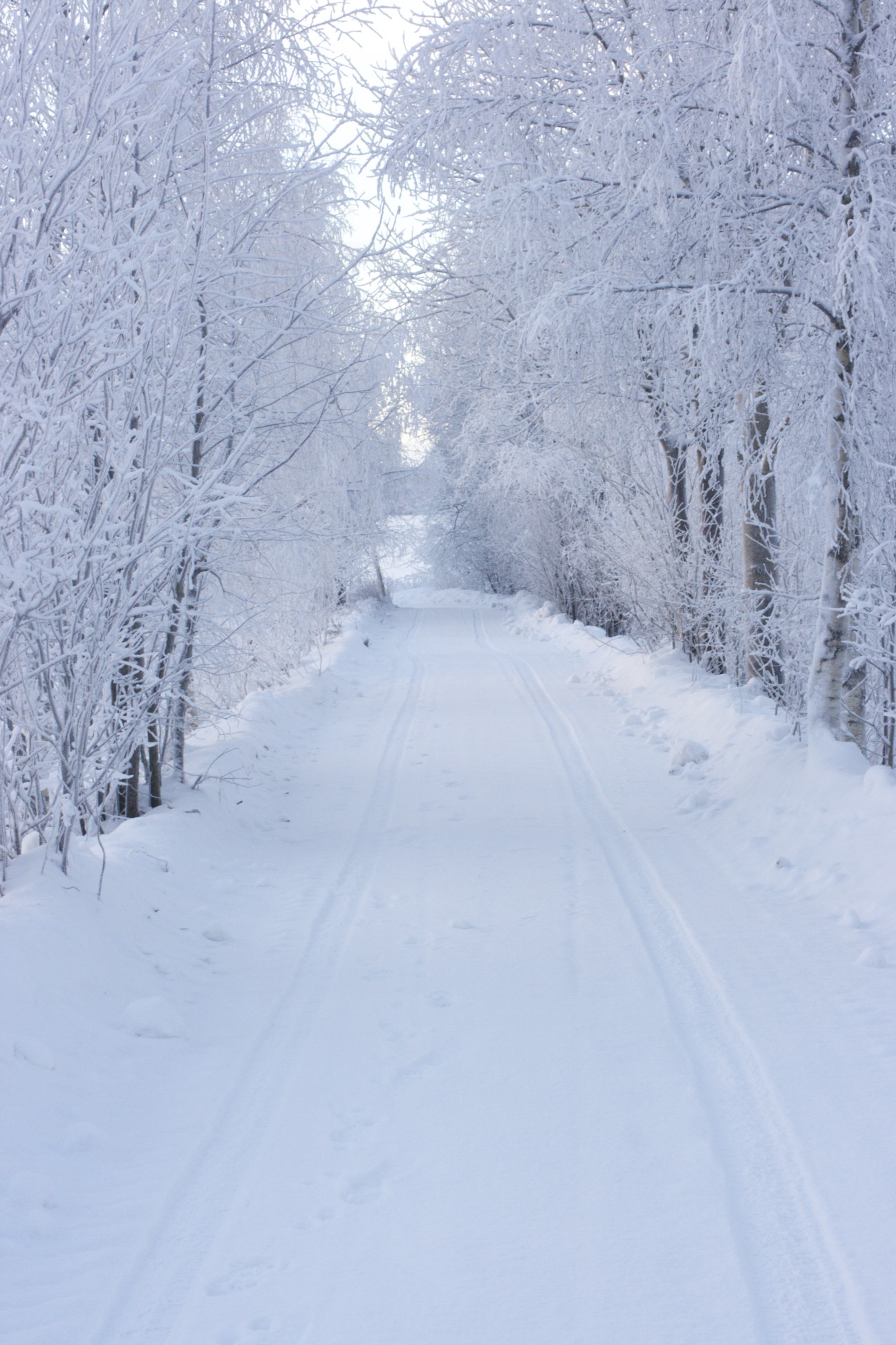
The Road
08-1230 kukkola
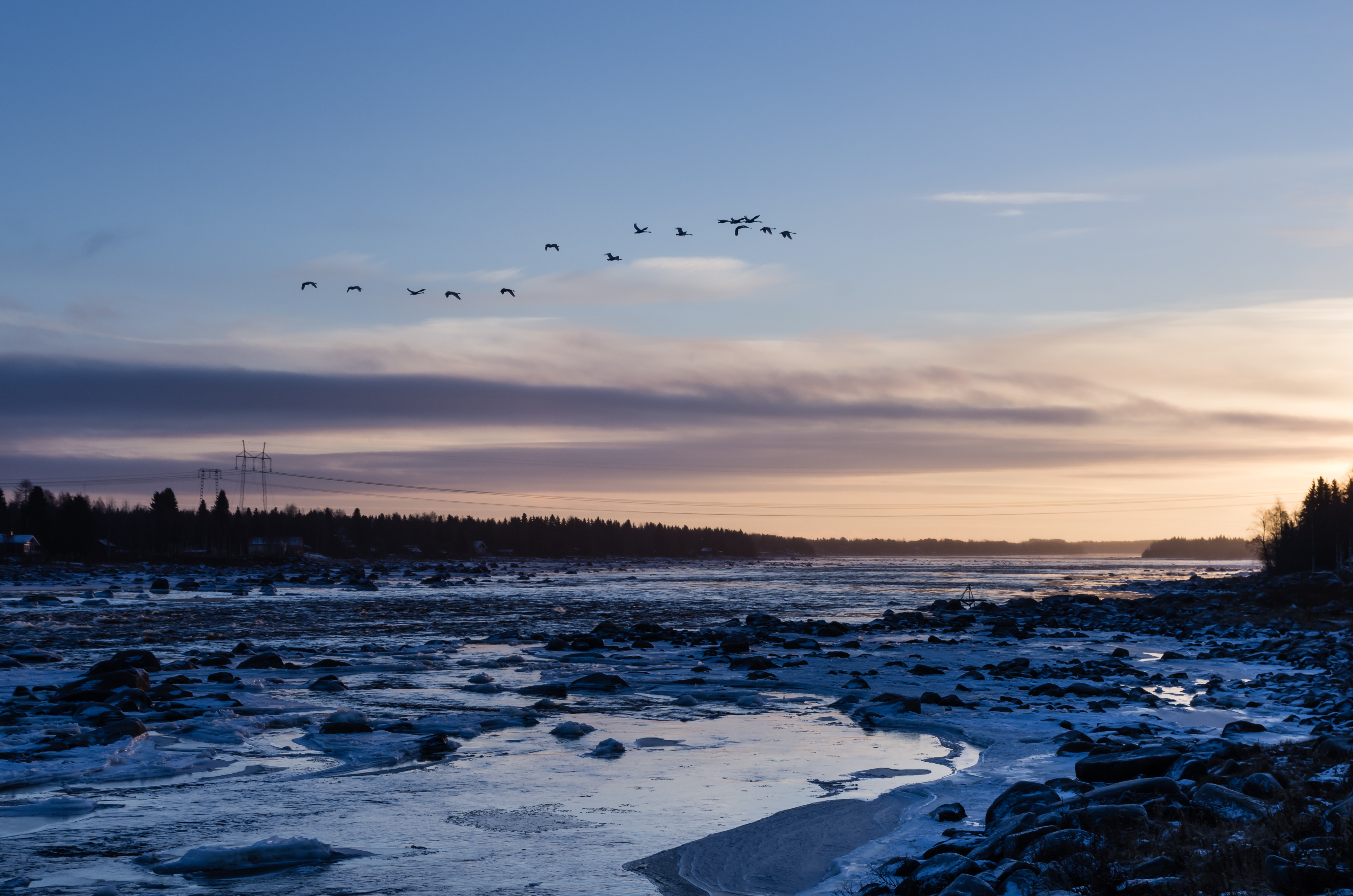
Kaamos Swans
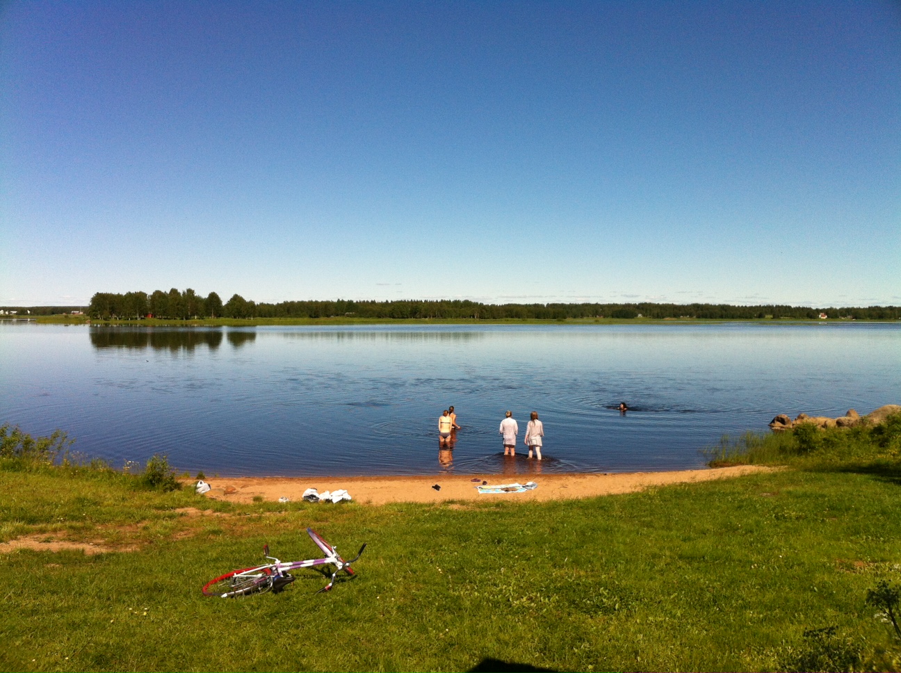
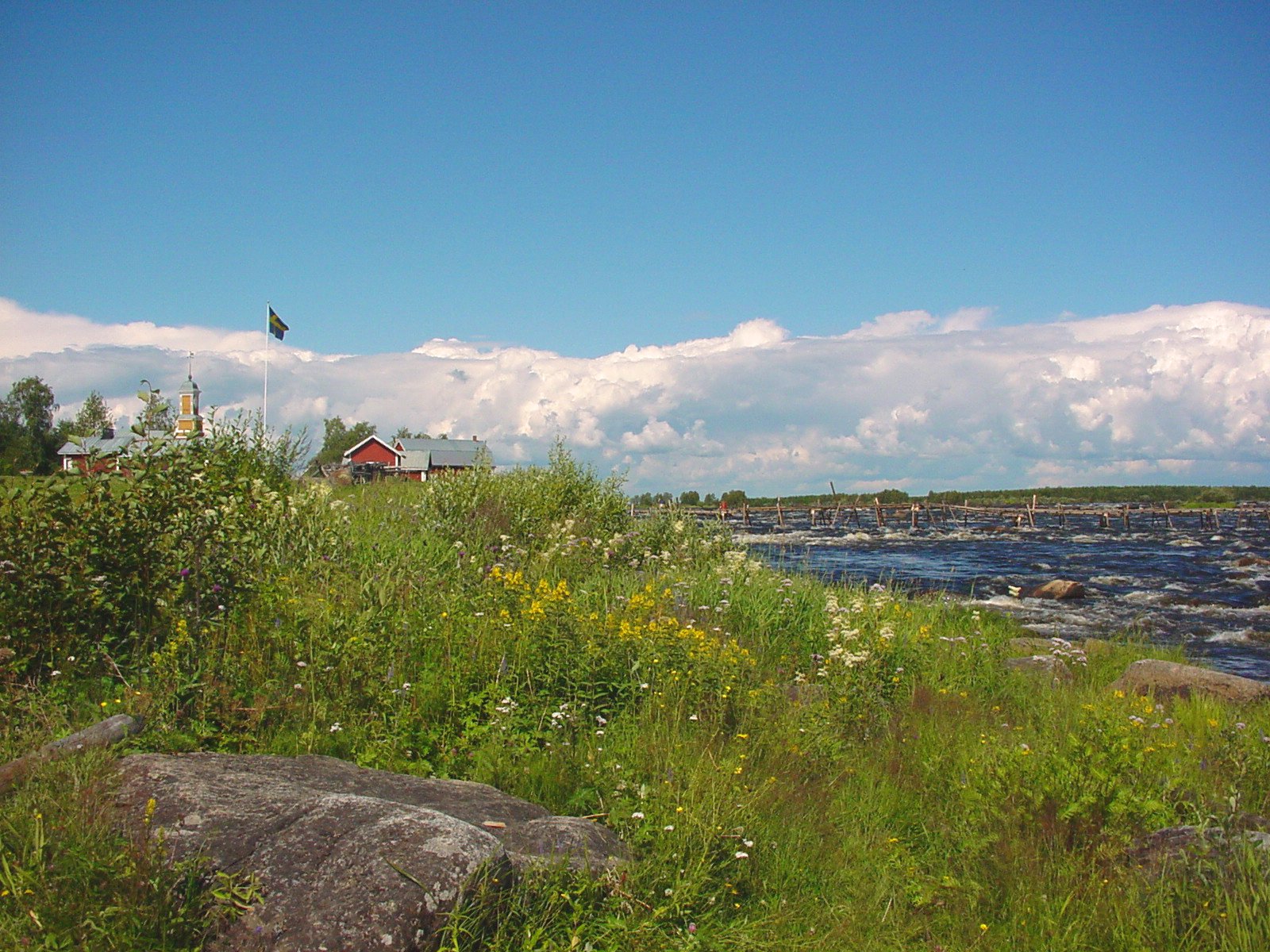
Badplats vid Torneälven
27.06.2004

Night Photo Shoot
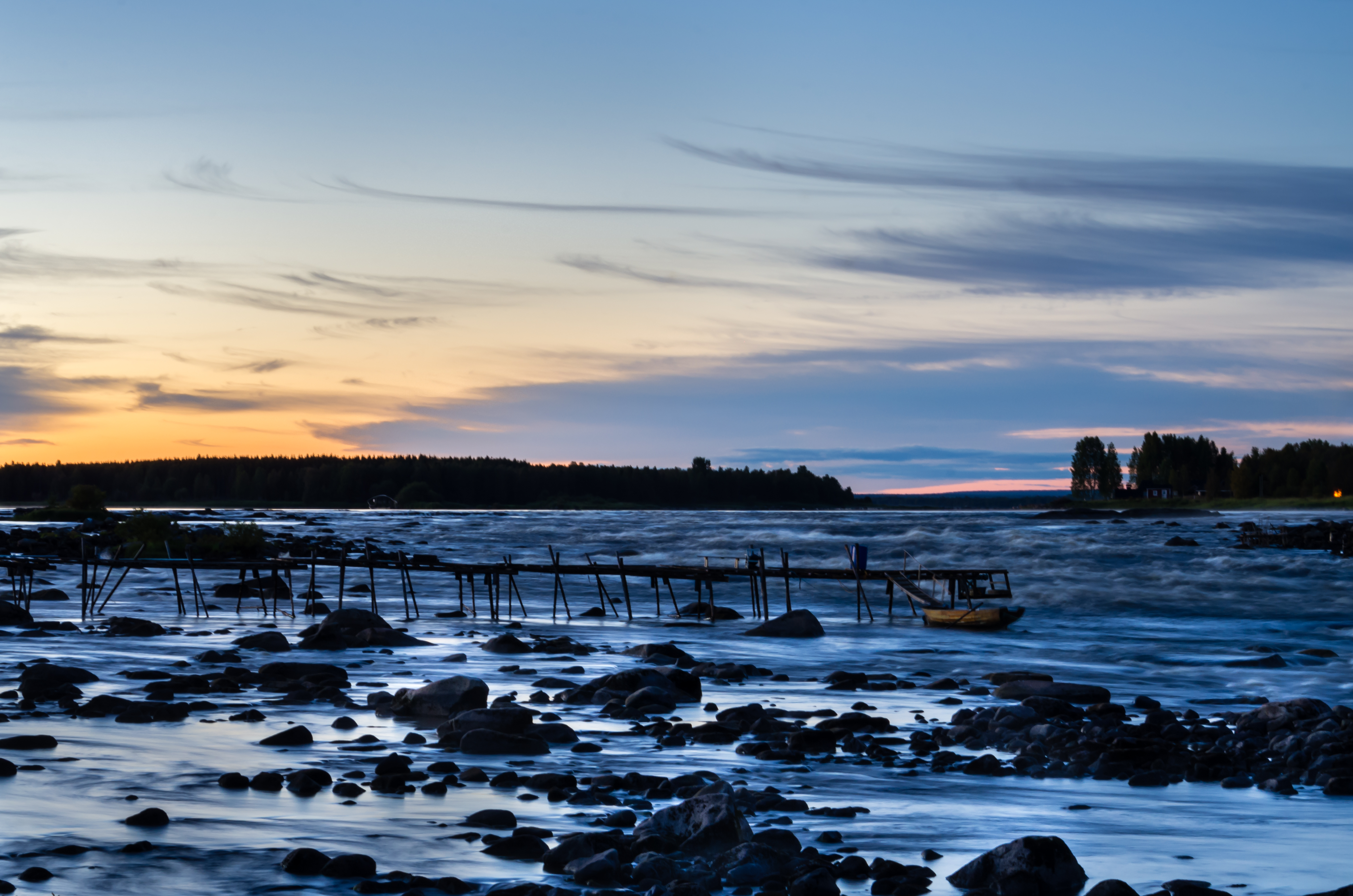
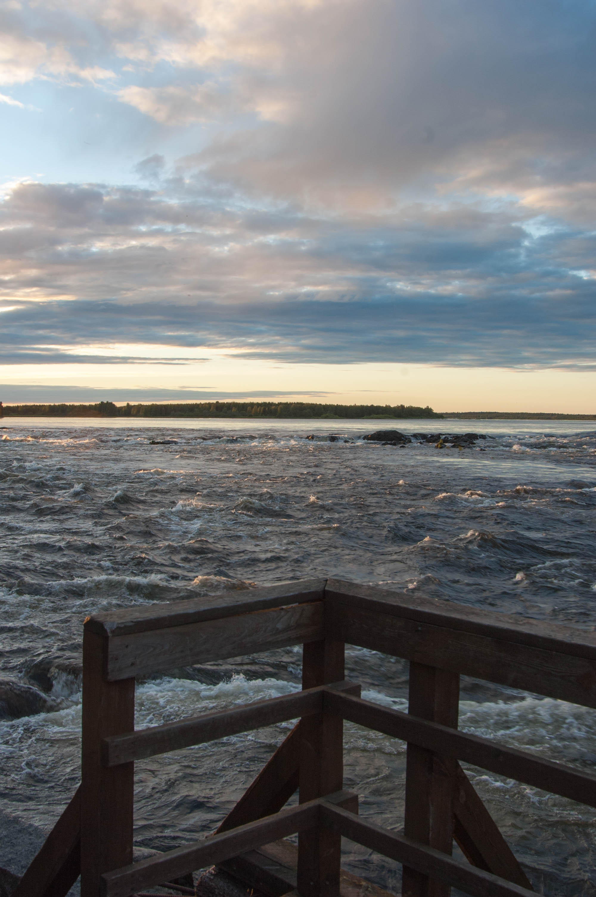
Sunset Rapids
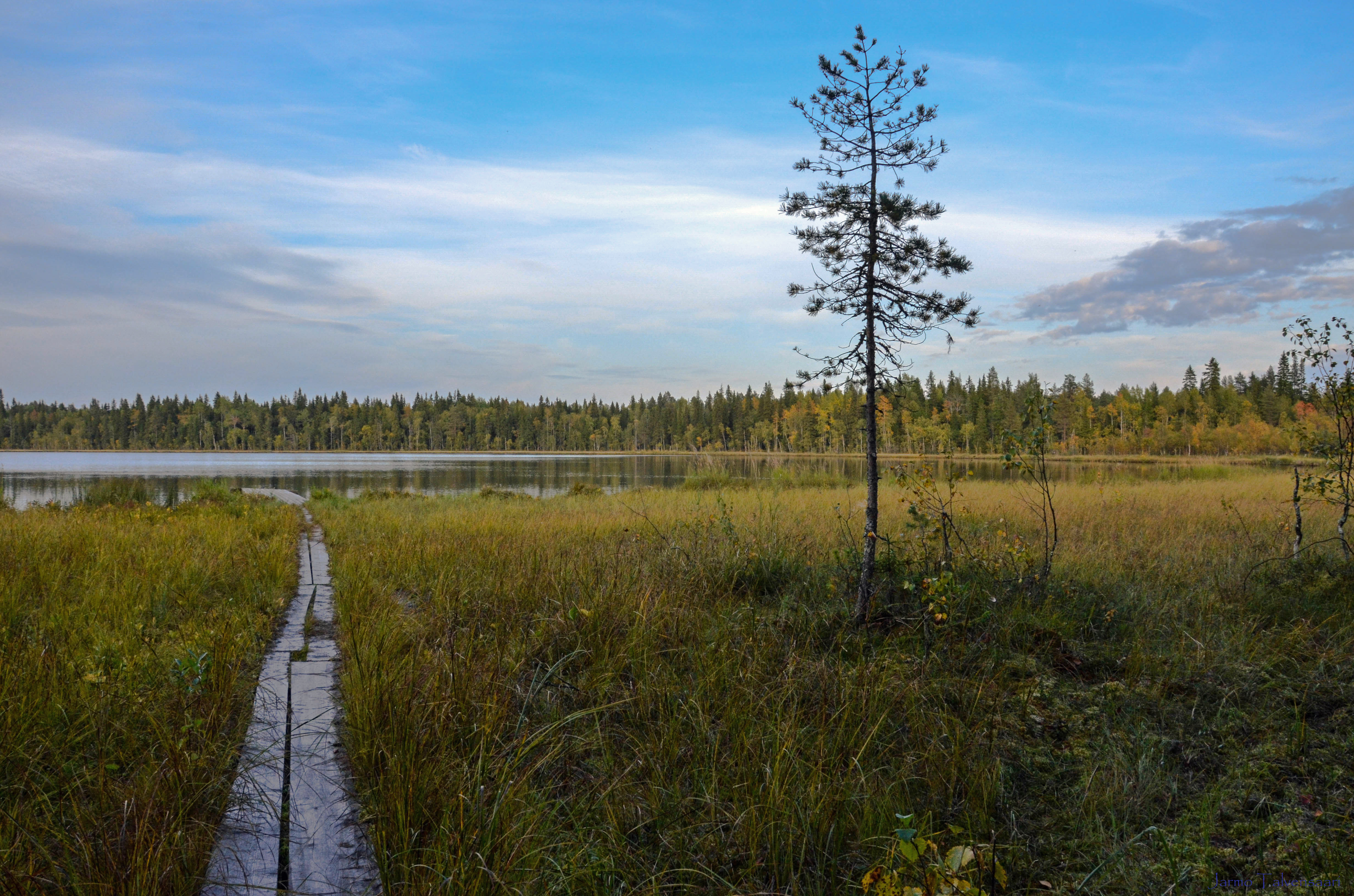
10.9.2014 Myllyjärvi.
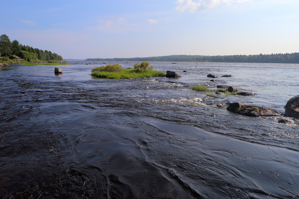
Torne River

Tornio; Kukkolankoski 21.9.2010 -1
05.07.2009
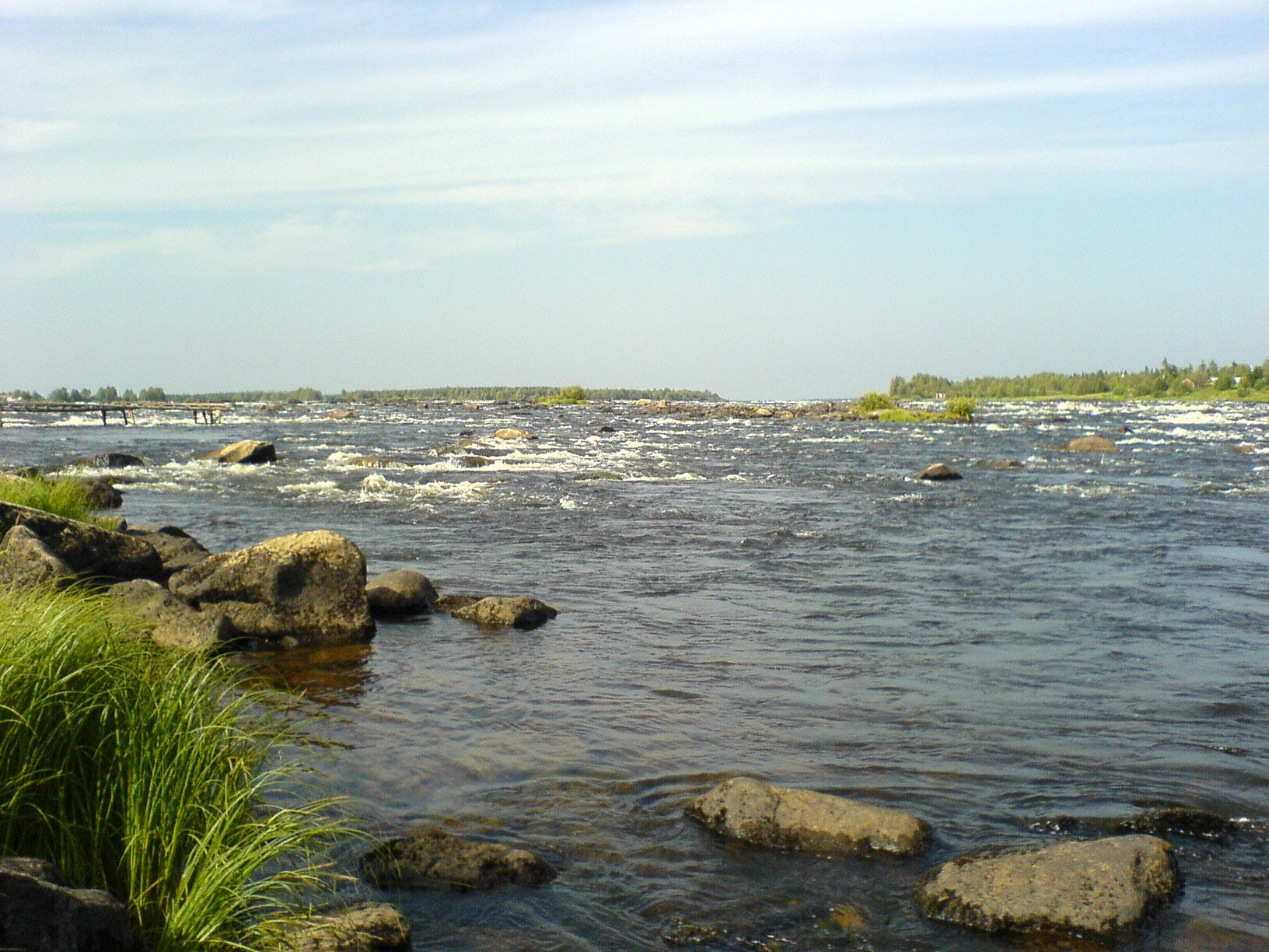
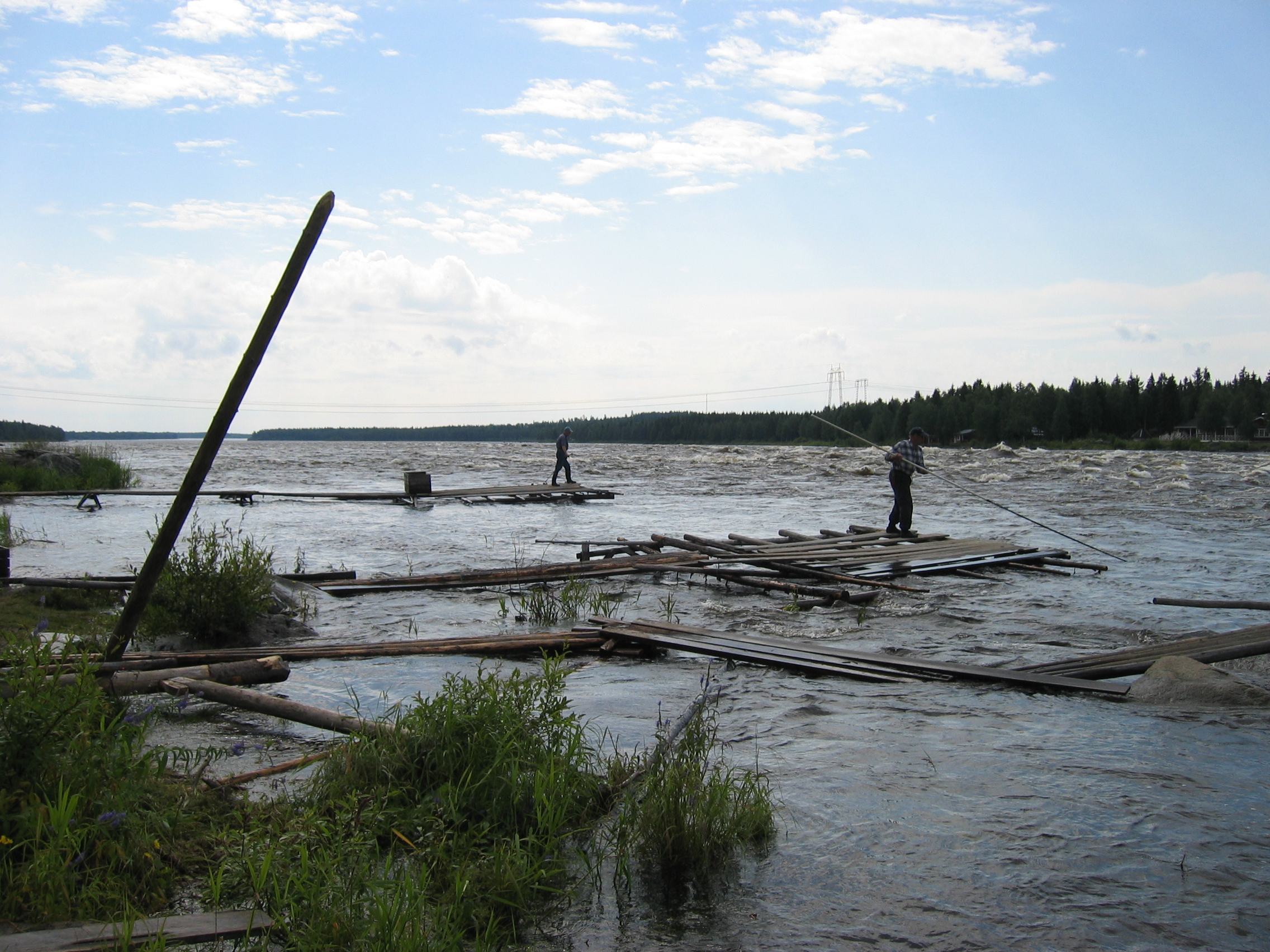
Kukkolaforsen 2
Topographic Map of Haparanda, Sweden
Find elevation by address:

Places in Haparanda, Sweden:
Places near Haparanda, Sweden:
Haparanda V
Seskarö
ANTTILA 37, 96 Lappträsk, Sweden
Tandfors
Kalix
Kalix
Norrisundet, 99 Luleå, Sweden
Hindersön
Recent Searches:
- Elevation of Corso Fratelli Cairoli, 35, Macerata MC, Italy
- Elevation of Tallevast Rd, Sarasota, FL, USA
- Elevation of 4th St E, Sonoma, CA, USA
- Elevation of Black Hollow Rd, Pennsdale, PA, USA
- Elevation of Oakland Ave, Williamsport, PA, USA
- Elevation of Pedrógão Grande, Portugal
- Elevation of Klee Dr, Martinsburg, WV, USA
- Elevation of Via Roma, Pieranica CR, Italy
- Elevation of Tavkvetili Mountain, Georgia
- Elevation of Hartfords Bluff Cir, Mt Pleasant, SC, USA