Elevation of ANTTILA 37, 96 Lappträsk, Sweden
Location: Sweden > Norrbotten County > Haparanda V >
Longitude: 23.4831879
Latitude: 66.0078104
Elevation: 31m / 102feet
Barometric Pressure: 101KPa
Elevation Map:
Satellite Map:
Related Photos:

På tur i Tornedalen nord for Kalix

Lappträsks kyrka

Lappträsks kyrka
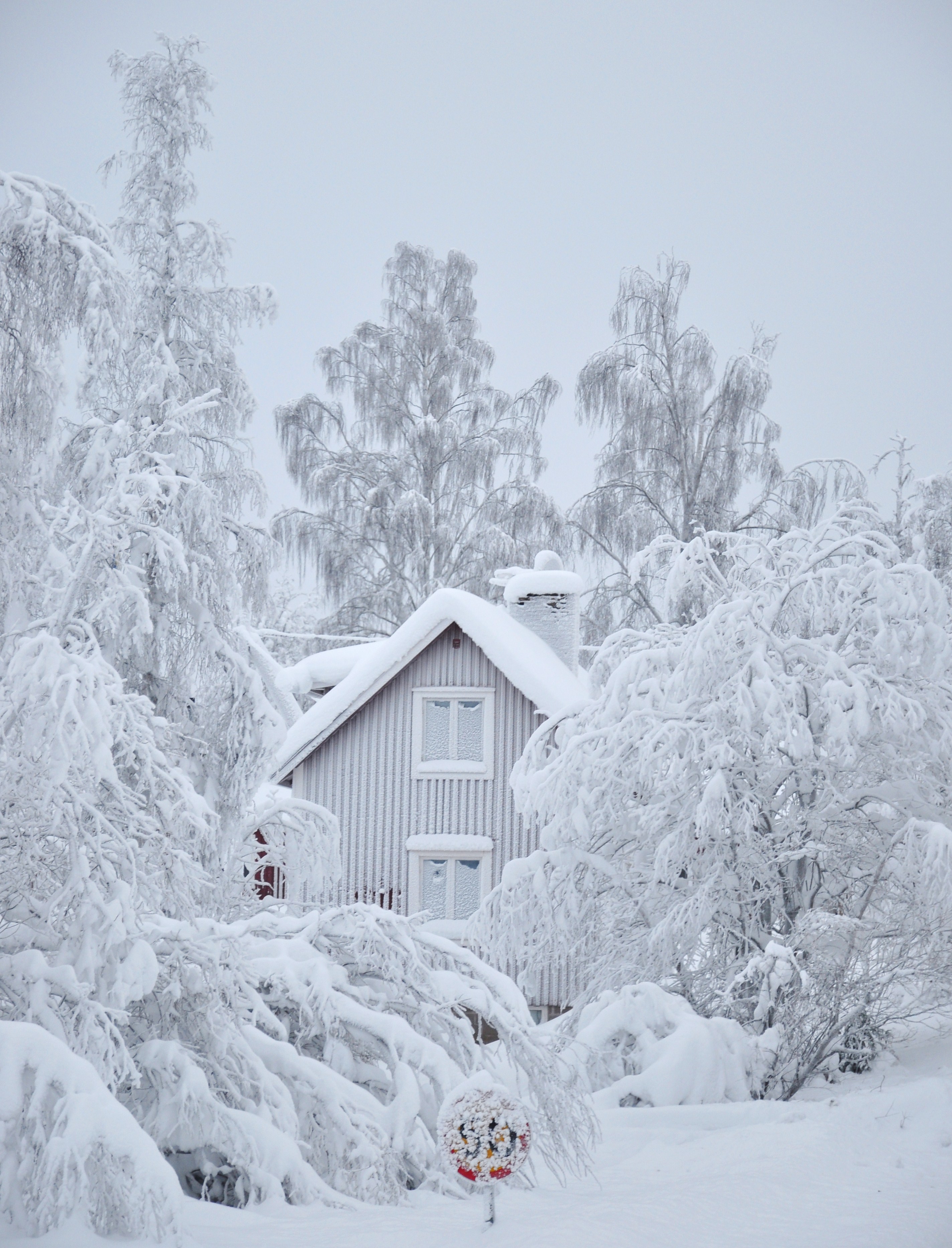
A white day
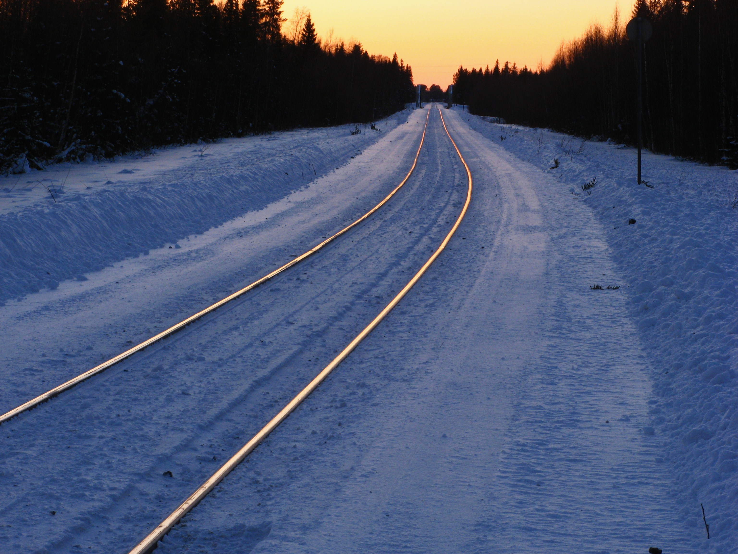
Glowing rails
Topographic Map of ANTTILA 37, 96 Lappträsk, Sweden
Find elevation by address:

Places near ANTTILA 37, 96 Lappträsk, Sweden:
Recent Searches:
- Elevation of Corso Fratelli Cairoli, 35, Macerata MC, Italy
- Elevation of Tallevast Rd, Sarasota, FL, USA
- Elevation of 4th St E, Sonoma, CA, USA
- Elevation of Black Hollow Rd, Pennsdale, PA, USA
- Elevation of Oakland Ave, Williamsport, PA, USA
- Elevation of Pedrógão Grande, Portugal
- Elevation of Klee Dr, Martinsburg, WV, USA
- Elevation of Via Roma, Pieranica CR, Italy
- Elevation of Tavkvetili Mountain, Georgia
- Elevation of Hartfords Bluff Cir, Mt Pleasant, SC, USA