Elevation of Hammon St, McCurtain, OK, USA
Location: United States > Oklahoma > Haskell County >
Longitude: -94.971485
Latitude: 35.1504661
Elevation: 178m / 584feet
Barometric Pressure: 99KPa
Elevation Map:
Satellite Map:
Related Photos:

Game Copter

November Moon
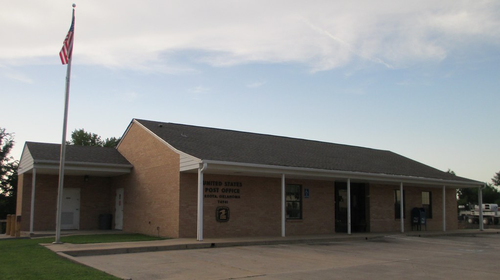
Post Office 74941 (Keota, Oklahoma)

Post Office 74943 (Lequire, Oklahoma)

McCormick Deering Tractor

Jane taylor

Post Office 74944 (McCurtain, Oklahoma)

Fresh cod goujons, w. warm potato salad, sweet chilli, lime & coriander mayo @ Charlie Mac's

Pan-fried Lambs Liver, on root vegetable mash, with crispy bacon and rosemary jus @ Charlie Mac's

Chowder @ Charlie Mac's

Ballyhoura Wild Mountain Mushrooms @ Charlie Mac's

77 Counties - Haskell County
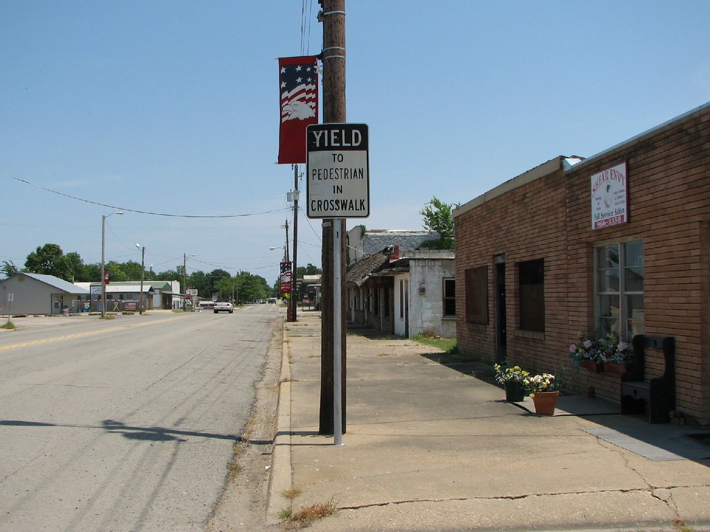
Black Yield
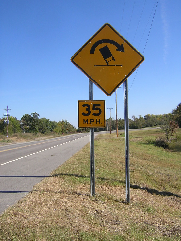
TILT!
Topographic Map of Hammon St, McCurtain, OK, USA
Find elevation by address:

Places near Hammon St, McCurtain, OK, USA:
5507 Ok-82
5507 Ok-82
Red Oak
S Main St, Red Oak, OK, USA
Luman Ln, Wister, OK, USA
Kinta
Co Rd N, Wister, OK, USA
26354 Vaughn Loop
E Rd, Kinta, OK, USA
Lake Street
Cavanal Hill
Wister
Hugle Rd, Wilburton, OK, USA
Vaughn Lane
Poteau
Ford Place
Howe, OK, USA
Talihina
Wilburton
206 W Ada Ave
Recent Searches:
- Elevation of Corso Fratelli Cairoli, 35, Macerata MC, Italy
- Elevation of Tallevast Rd, Sarasota, FL, USA
- Elevation of 4th St E, Sonoma, CA, USA
- Elevation of Black Hollow Rd, Pennsdale, PA, USA
- Elevation of Oakland Ave, Williamsport, PA, USA
- Elevation of Pedrógão Grande, Portugal
- Elevation of Klee Dr, Martinsburg, WV, USA
- Elevation of Via Roma, Pieranica CR, Italy
- Elevation of Tavkvetili Mountain, Georgia
- Elevation of Hartfords Bluff Cir, Mt Pleasant, SC, USA