Elevation of Hamirpur, Himachal Pradesh, India
Location: India > Himachal Pradesh > Hamirpur >
Longitude: 76.5213092
Latitude: 31.6861745
Elevation: 775m / 2543feet
Barometric Pressure: 0KPa
Related Photos:

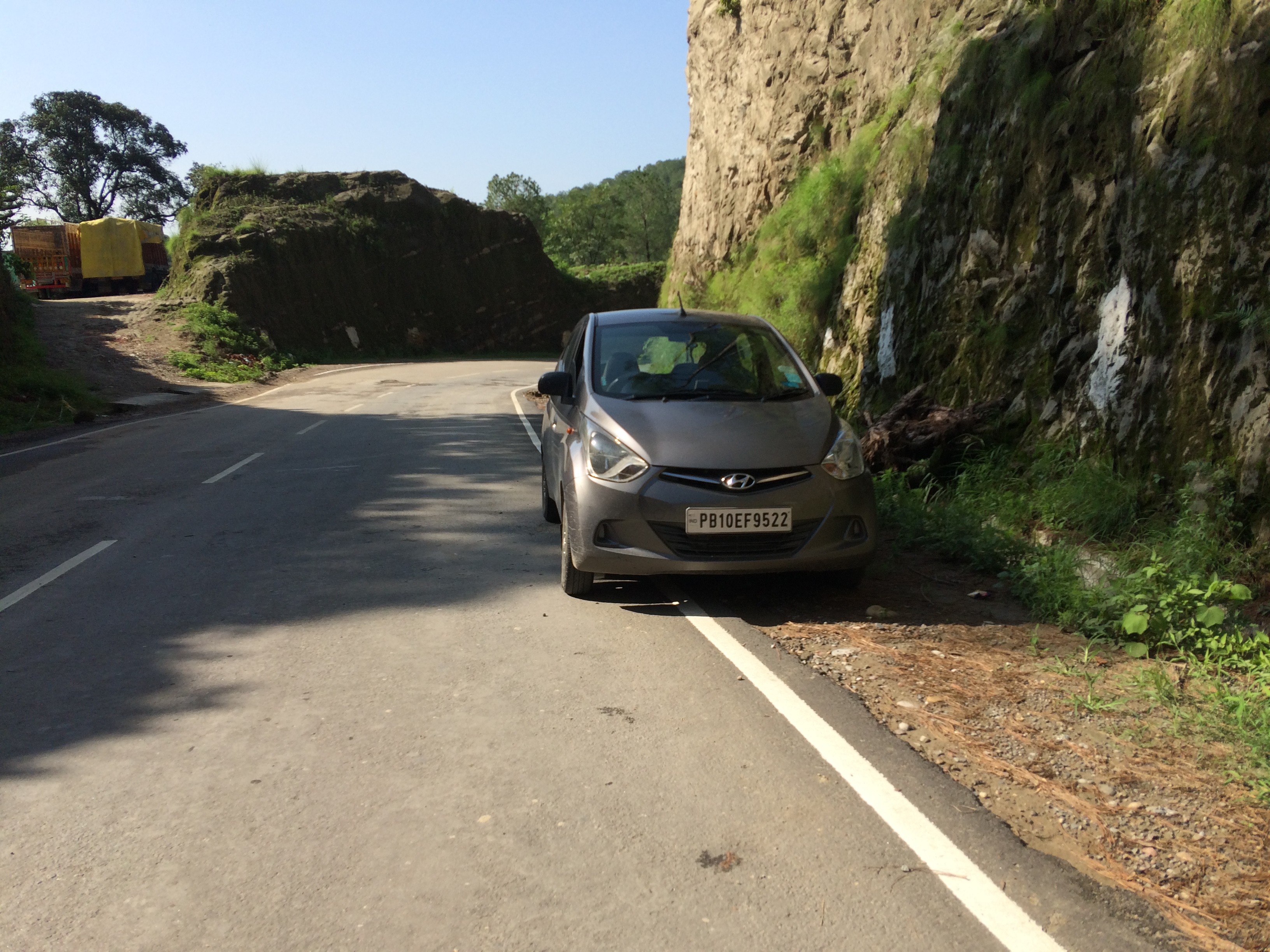
Golden Pine

My home

My home

#YaarDaByah super Fun

Vaggy vw Green. Feel the best

My home

My home
My home

Its sunrise.....

After rain magic

Backyard Rose

save water !!!

The abandoned one!

Eating out
Topographic Map of Hamirpur, Himachal Pradesh, India
Find elevation by address:

Places in Hamirpur, Himachal Pradesh, India:
Places near Hamirpur, Himachal Pradesh, India:
Kohta
Police Station Hamirpur
Hamirpur
Nit Hamirpur
Dhoban
Rumera
Bangana
Nadaun
Bhakra Dam
Dhamandri
Jangal Mehduda Bhakhra
Rewalsar
Una
Una
Nangal
Sullah
Naina Devi
Bilaspur
Haroli
Harinagar
Recent Searches:
- Elevation of 10370, West 107th Circle, Westminster, Jefferson County, Colorado, 80021, USA
- Elevation of 611, Roman Road, Old Ford, Bow, London, England, E3 2RW, United Kingdom
- Elevation of 116, Beartown Road, Underhill, Chittenden County, Vermont, 05489, USA
- Elevation of Window Rock, Colfax County, New Mexico, 87714, USA
- Elevation of 4807, Rosecroft Street, Kempsville Gardens, Virginia Beach, Virginia, 23464, USA
- Elevation map of Matawinie, Quebec, Canada
- Elevation of Sainte-Émélie-de-l'Énergie, Matawinie, Quebec, Canada
- Elevation of Rue du Pont, Sainte-Émélie-de-l'Énergie, Matawinie, Quebec, J0K2K0, Canada
- Elevation of 8, Rue de Bécancour, Blainville, Thérèse-De Blainville, Quebec, J7B1N2, Canada
- Elevation of Wilmot Court North, 163, University Avenue West, Northdale, Waterloo, Region of Waterloo, Ontario, N2L6B6, Canada
- Elevation map of Panamá Province, Panama
- Elevation of Balboa, Panamá Province, Panama
- Elevation of San Miguel, Balboa, Panamá Province, Panama
- Elevation of Isla Gibraleón, San Miguel, Balboa, Panamá Province, Panama
- Elevation of 4655, Krischke Road, Schulenburg, Fayette County, Texas, 78956, USA
- Elevation of Carnegie Avenue, Downtown Cleveland, Cleveland, Cuyahoga County, Ohio, 44115, USA
- Elevation of Walhonding, Coshocton County, Ohio, USA
- Elevation of Clifton Down, Clifton, Bristol, City of Bristol, England, BS8 3HU, United Kingdom
- Elevation map of Auvergne-Rhône-Alpes, France
- Elevation map of Upper Savoy, Auvergne-Rhône-Alpes, France