Elevation of Halls Peak, New Mexico, USA
Location: United States > New Mexico > Ocate >
Longitude: -105.06445
Latitude: 36.2292024
Elevation: 2636m / 8648feet
Barometric Pressure: 73KPa
Elevation Map:
Satellite Map:
Related Photos:
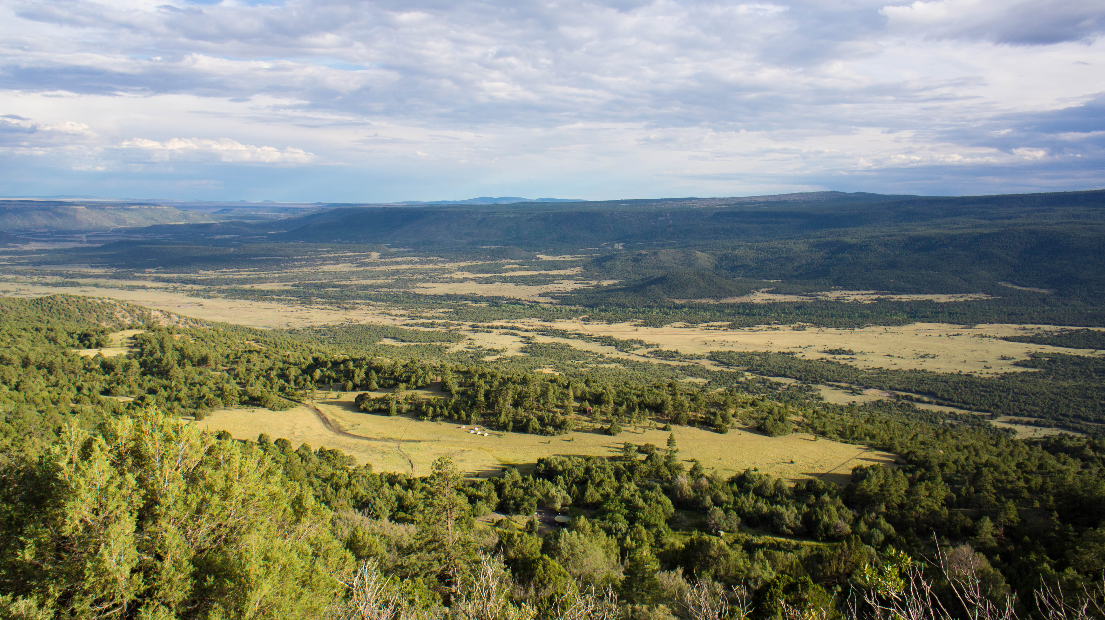
View of our campsite and the valley below from Urraca Mesa
Topographic Map of Halls Peak, New Mexico, USA
Find elevation by address:

Places near Halls Peak, New Mexico, USA:
Cooks Peak
Ocate
Aspen Hill
Ocate Mesa
Cerro Montoso
Cerro Del Amole
1048 Nm-434
Coyote Creek
205 Rincon Rd
Trail Peak
Ojo Feliz
Guadalupita
Agua Fria Peak
Mesa Urraca
Black Lake
Black Mountain
Vista Del Sur
49 Martin Luther King
49 Martin Luther King
Ute Valley Drive
Recent Searches:
- Elevation of Corso Fratelli Cairoli, 35, Macerata MC, Italy
- Elevation of Tallevast Rd, Sarasota, FL, USA
- Elevation of 4th St E, Sonoma, CA, USA
- Elevation of Black Hollow Rd, Pennsdale, PA, USA
- Elevation of Oakland Ave, Williamsport, PA, USA
- Elevation of Pedrógão Grande, Portugal
- Elevation of Klee Dr, Martinsburg, WV, USA
- Elevation of Via Roma, Pieranica CR, Italy
- Elevation of Tavkvetili Mountain, Georgia
- Elevation of Hartfords Bluff Cir, Mt Pleasant, SC, USA