Elevation of Hackett Mountain, Colorado, USA
Location: United States > Colorado > Woodland Park >
Longitude: -105.28693
Latitude: 39.0844357
Elevation: 2682m / 8799feet
Barometric Pressure: 73KPa
Elevation Map:
Satellite Map:
Related Photos:
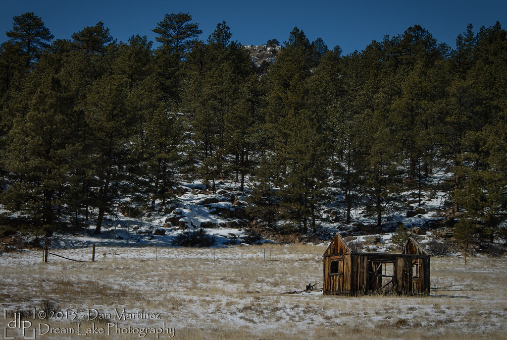
Abandoned!

Sun Sets Over The Blasted Lands
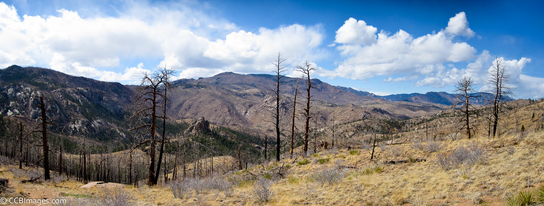
The View
Topographic Map of Hackett Mountain, Colorado, USA
Find elevation by address:

Places near Hackett Mountain, Colorado, USA:
Cedar Ridge Road
Cedar Mountain
162 Brooks Ln
721 Turkey Creek Dr
288 Blick Dr
310 Blick Dr
55 Duane Dr
Tappan Mountain
Sheeprock
Pike-san Isabel National Forest
Badger Gulch
Thunder Butte
14655 Westcreek Rd
Evergreen Place
14787 Evergreen Pl
15366 Westcreek Rd
M Lazy C Ranch
14955 Hill Dr
Westcreek
15066 Pine Lake Dr
Recent Searches:
- Elevation of Corso Fratelli Cairoli, 35, Macerata MC, Italy
- Elevation of Tallevast Rd, Sarasota, FL, USA
- Elevation of 4th St E, Sonoma, CA, USA
- Elevation of Black Hollow Rd, Pennsdale, PA, USA
- Elevation of Oakland Ave, Williamsport, PA, USA
- Elevation of Pedrógão Grande, Portugal
- Elevation of Klee Dr, Martinsburg, WV, USA
- Elevation of Via Roma, Pieranica CR, Italy
- Elevation of Tavkvetili Mountain, Georgia
- Elevation of Hartfords Bluff Cir, Mt Pleasant, SC, USA