Elevation of Gunjur, The Gambia
Location: The Gambia >
Longitude: -16.755900
Latitude: 13.1806725
Elevation: 24m / 79feet
Barometric Pressure: 101KPa
Elevation Map:
Satellite Map:
Related Photos:

Tawny flanked Prinia

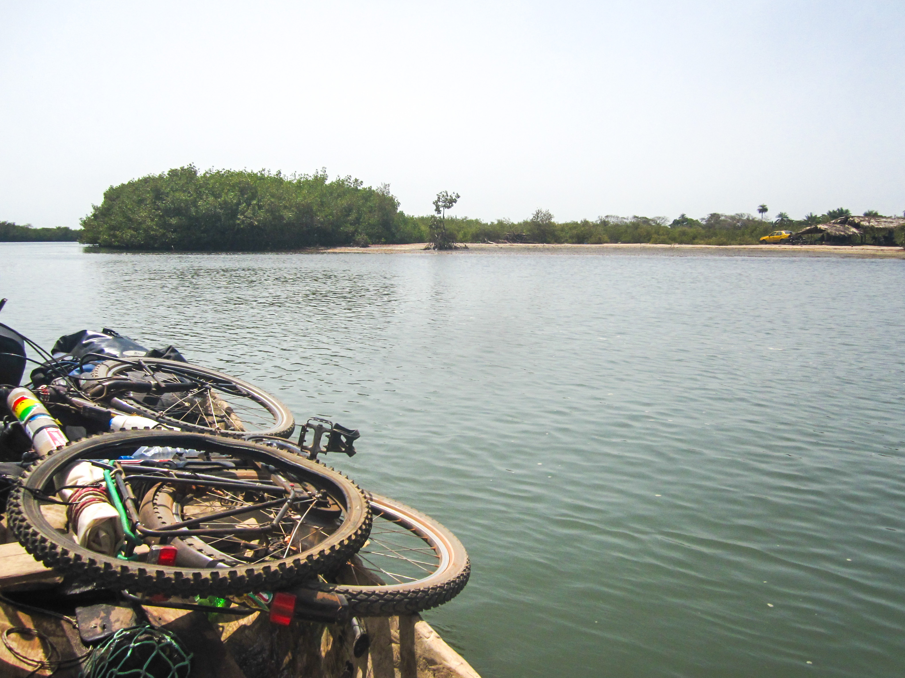
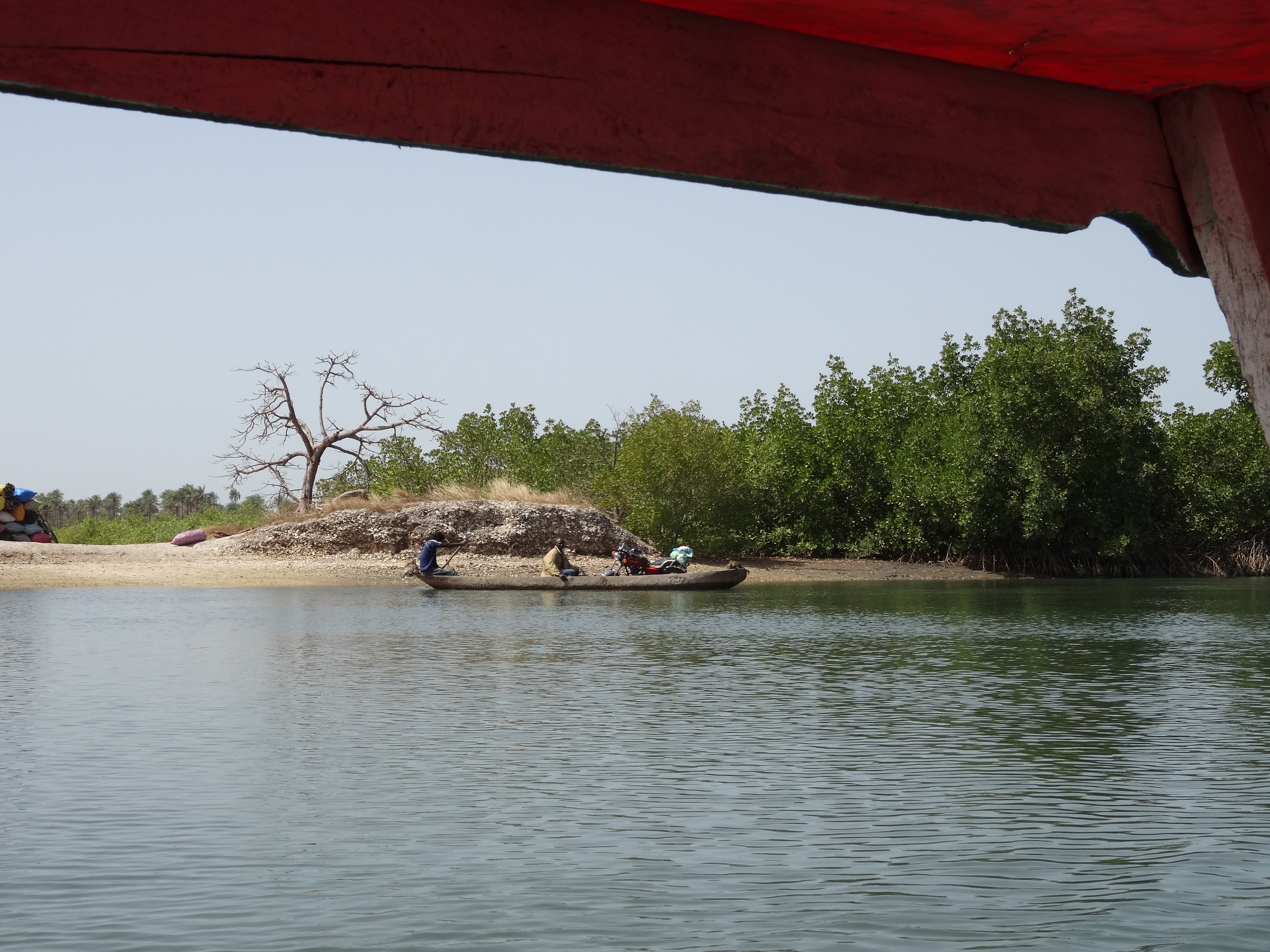
riverside III

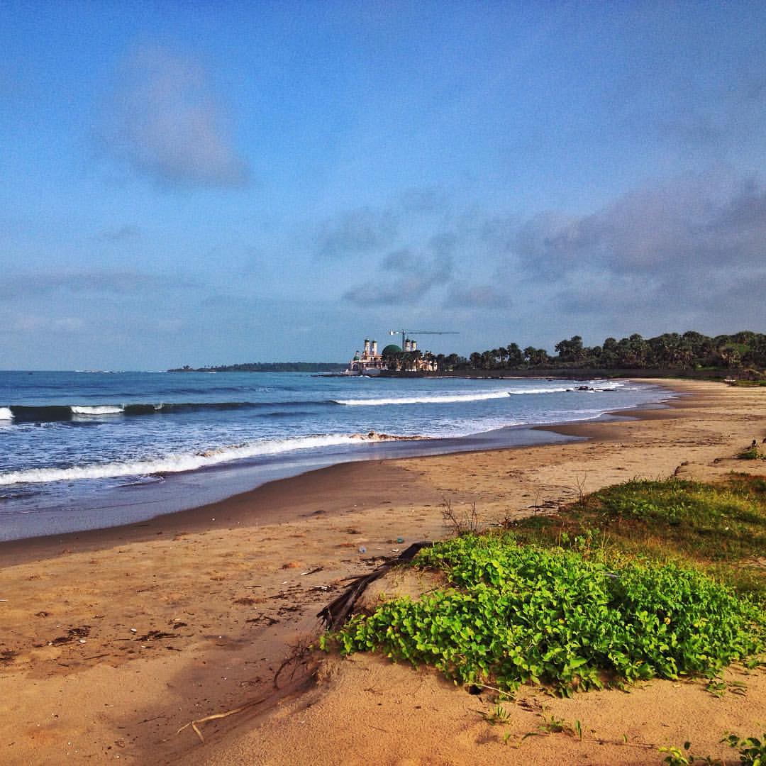
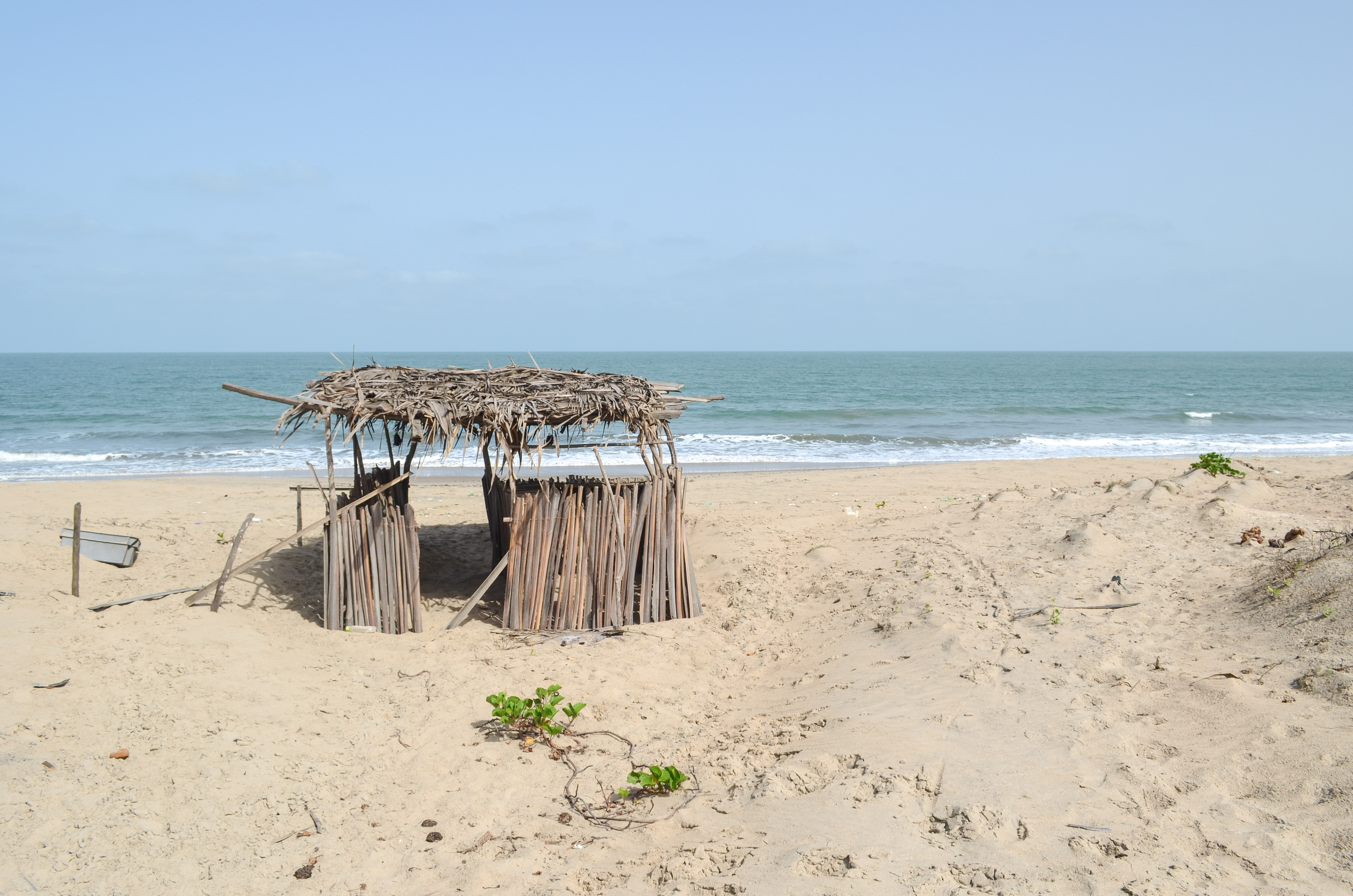
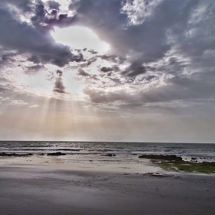
Sunset over Paradise Beach
Senegal-Gambia small border post in Casamance
La costa del somriure a Gàmbia sempre ens sorprèn amb indrets de gran bellesa natural, on la vegetació tropical arriba fins a la platja. Des d'Ethnic i la xarxa de turisme responsable de west africa, treballem amb diferents agents locals per preservar a

El grito del silencio
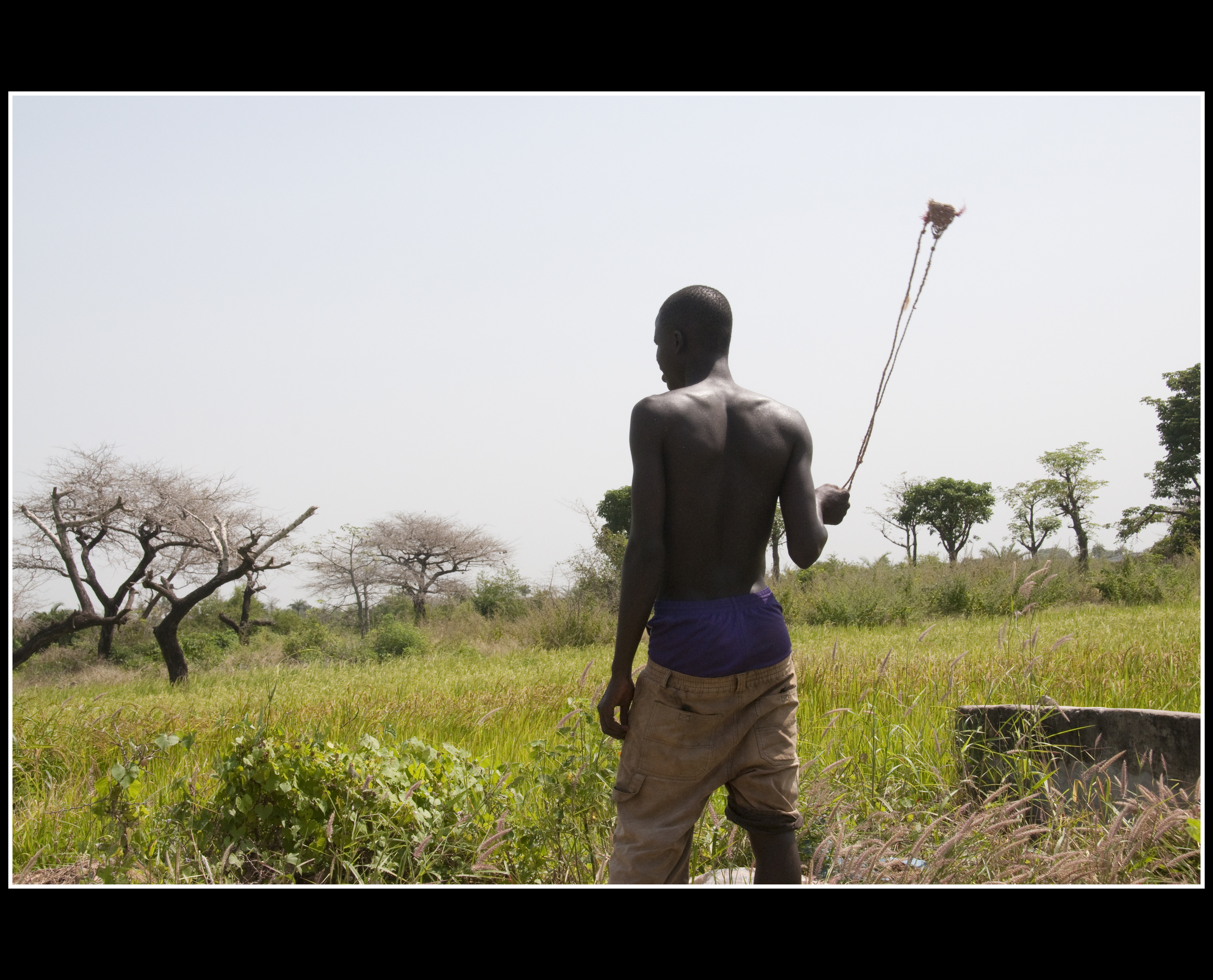
GENT DE GAMBIA - GAMBIA'S PEOPLE 8
20130606-DSC_8835

Jungle Beach Sanyang-Gambia
20130606-DSC_8831

Seagulls off Paradise Beach IMAG0752.jpg
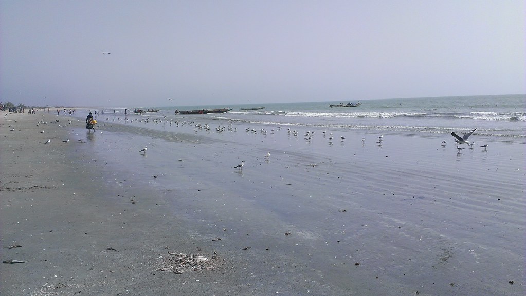
Seagulls off Paradise Beach IMAG0752.jpg
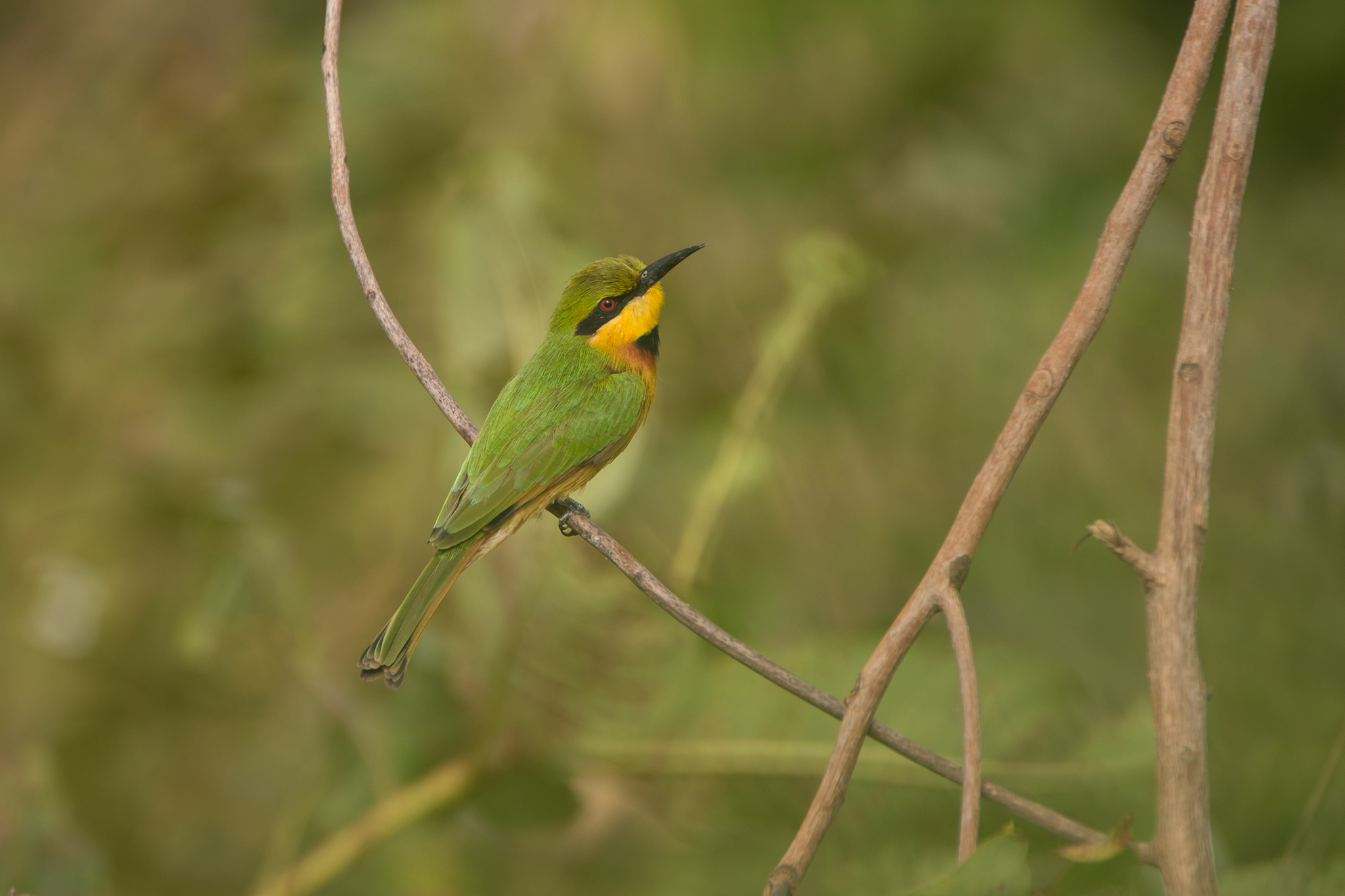
Dværgbiæder, Little Bee-eater, Tujereng
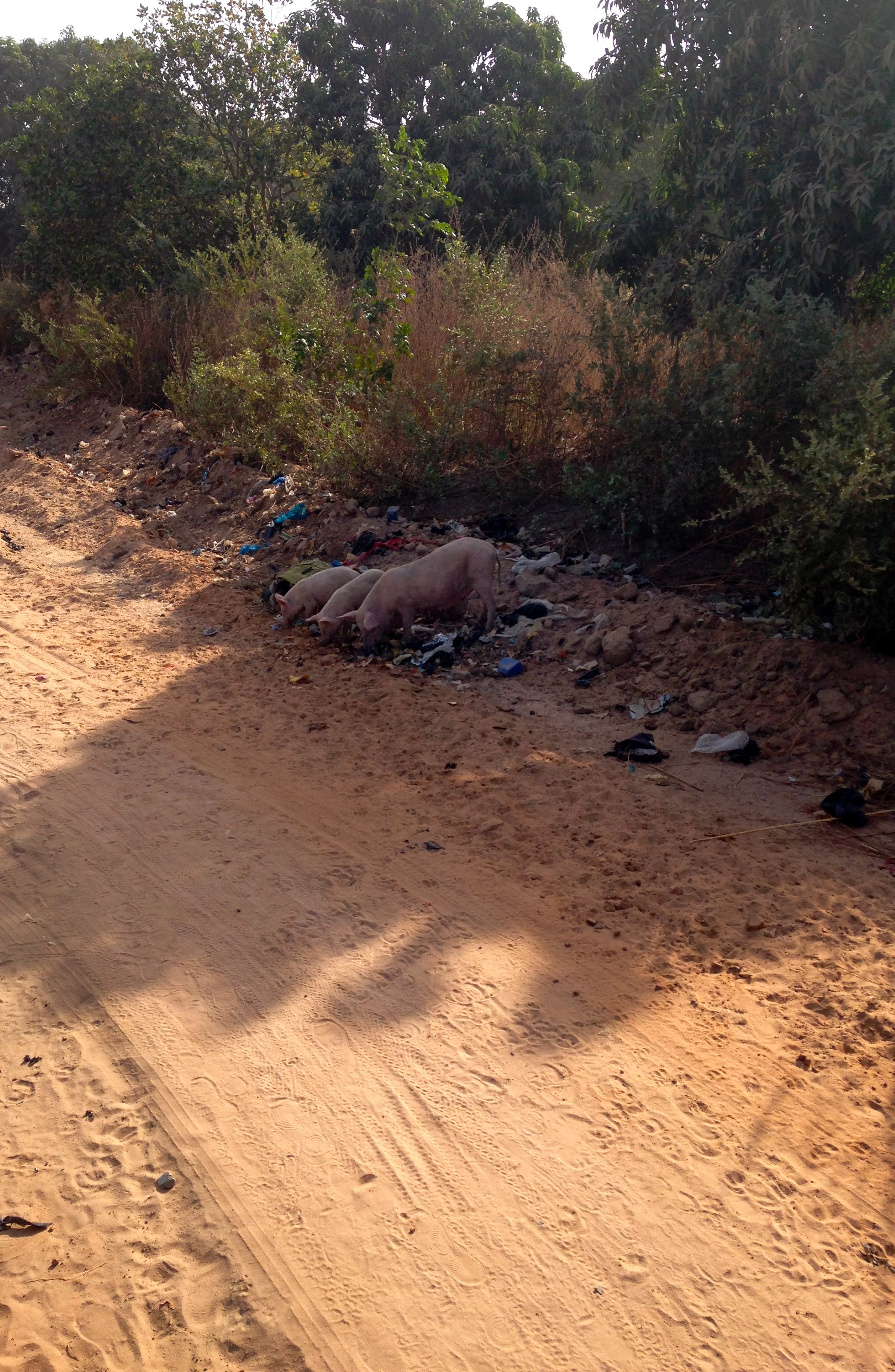
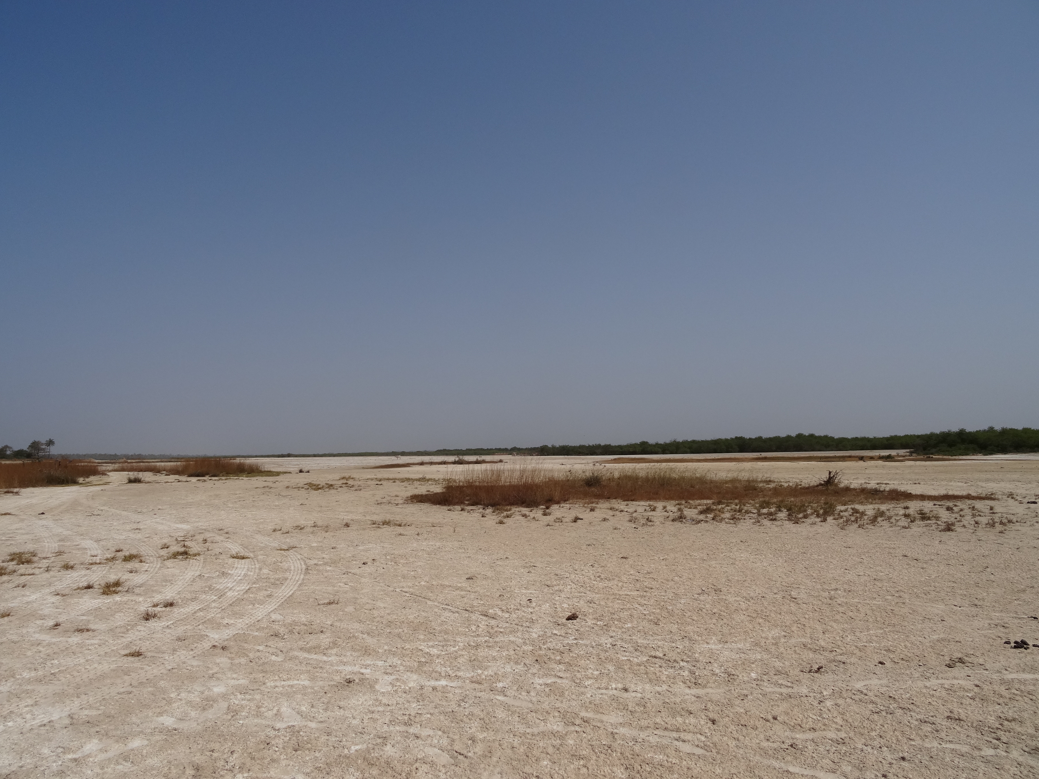
4 Wheel Drive Adventure

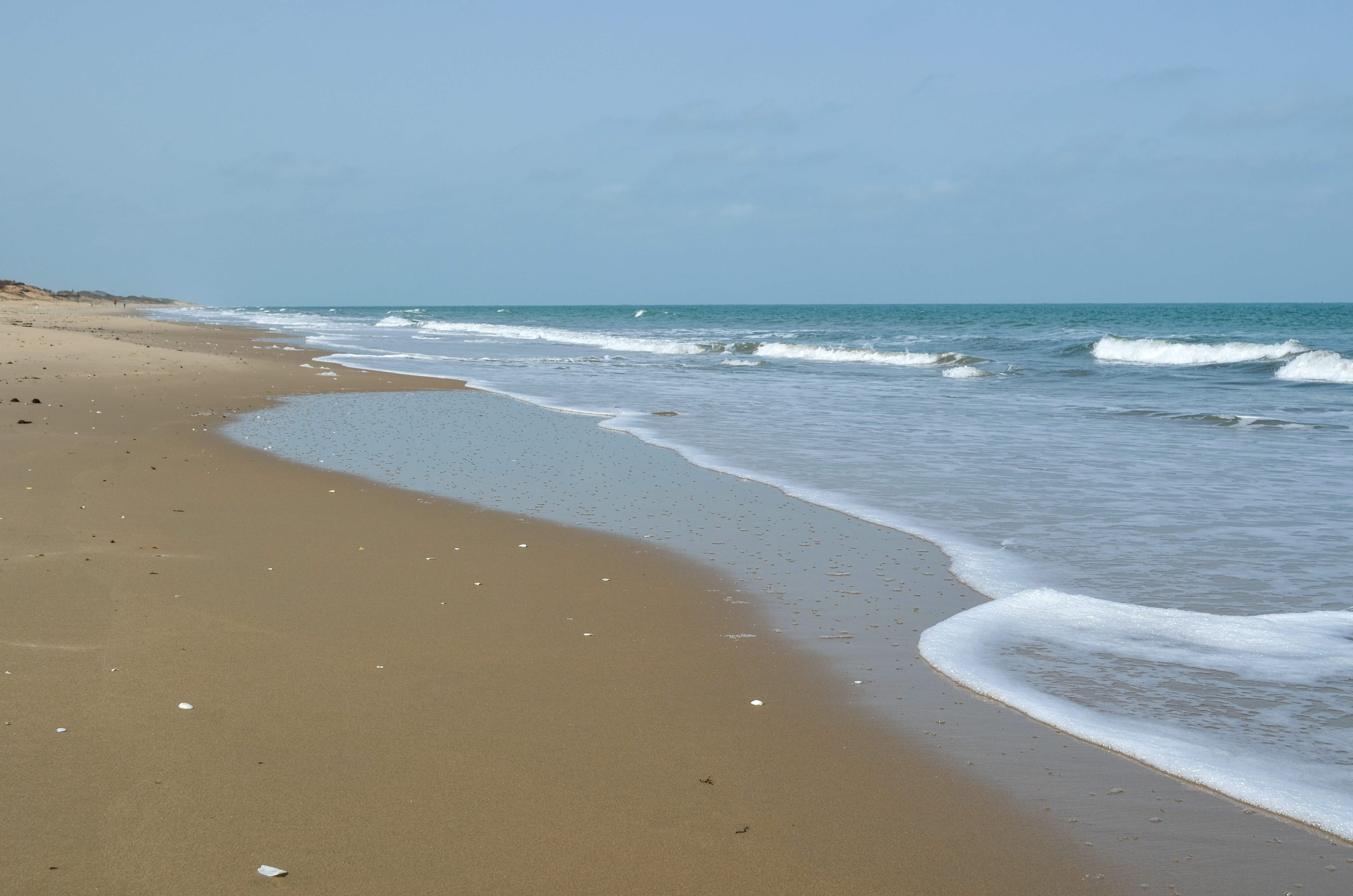
beach, you gotta love it
¡Buenos días! #aethnic
4 Wheel Drive Adventure
5.29

4 Wheel Drive Adventure

5.59
Topographic Map of Gunjur, The Gambia
Find elevation by address:

Places near Gunjur, The Gambia:
Recent Searches:
- Elevation of Corso Fratelli Cairoli, 35, Macerata MC, Italy
- Elevation of Tallevast Rd, Sarasota, FL, USA
- Elevation of 4th St E, Sonoma, CA, USA
- Elevation of Black Hollow Rd, Pennsdale, PA, USA
- Elevation of Oakland Ave, Williamsport, PA, USA
- Elevation of Pedrógão Grande, Portugal
- Elevation of Klee Dr, Martinsburg, WV, USA
- Elevation of Via Roma, Pieranica CR, Italy
- Elevation of Tavkvetili Mountain, Georgia
- Elevation of Hartfords Bluff Cir, Mt Pleasant, SC, USA