Elevation of Groaning Hill Rd, Franklin, NC, USA
Location: United States > North Carolina > Macon County > Cartoogechaye >

Longitude: -83.503969

Latitude: 35.103597

Elevation: 802m / 2631feet

Barometric Pressure: 92KPa

Elevation Map:

elevation map of Groaning Hill Rd, Franklin, NC, USA
Satellite Map:

Satellite map of Groaning Hill Rd, Franklin, NC, USA
Related Photos:

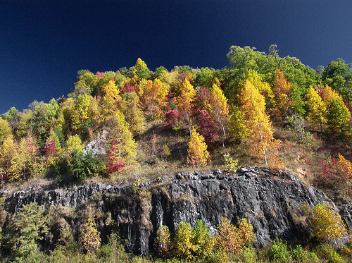
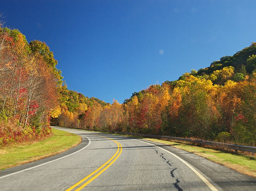
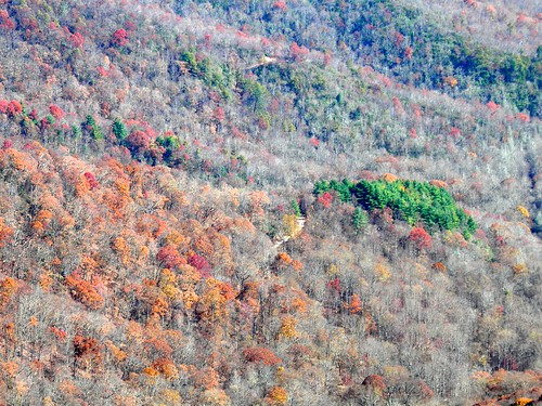
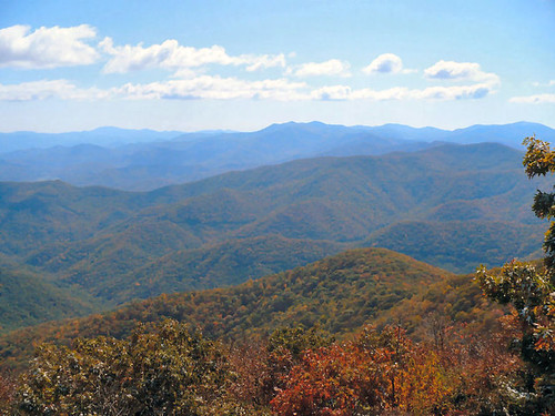
blue autumn red usa mountain tree fall nature leaves yellow forest landscape outdoors fire leaf nc scenery view unitedstates south great scenic northcarolina ridge southern parkway vista smoky appalachia attraction deepsouth carolinas
Smoky Mountains on Fire (II)
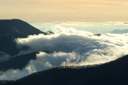
blue autumn red usa mountain tree fall nature leaves yellow forest landscape outdoors fire leaf nc scenery view unitedstates south great scenic northcarolina ridge southern parkway vista smoky attraction carolinas deepsouthappalachia
Smoky Mountains on Fire (III)
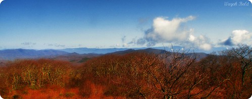
Wayah Bald
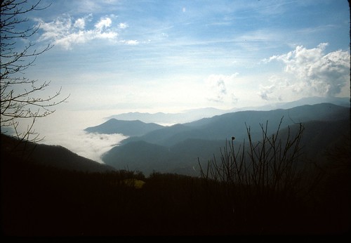
82-140_View_from_Wayah_Bald_Nantahala_National_Forest_NC
View from Silar Bald
pink plants white plant flower nature petals purple pistil stamen bloom wildflower hydrophyllaceae waterleaffamily phaceliafimbriata fringedphacelia johncothron 2jtrip2009 cothronphotography
Fringed Phacelia
Standing Indian22
Standing Indian24
bald sota siler summitsontheair elecraftkx3 ki4svm 88doublet w4cwm024 hardrock50
W4C/WM-024 - Siler Bald View
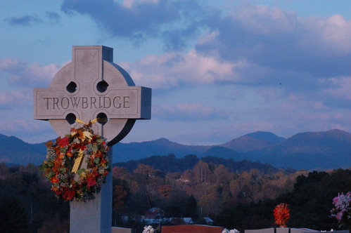
Cemetary View
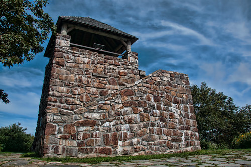
nc northcarolina hdr firetower appalachiantrail civilianconservationcorps nantahalanationalforest maconcounty wayahbald topazadjust wayahroad forestservicerd69 wayahbaldfiretower
Wayah Bald Fire Tower - Franklin, North Carolina (HDR)
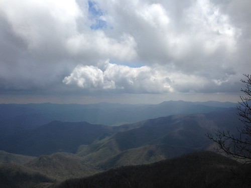
mountains clouds view
View from Wayah Bald Tower
Standing Indian23
bald sota siler summitsontheair elecraftkx3 ki4svm 88doublet w4cwm024 hardrock50
W4C/WM-024 - Siler Bald View
bald sota siler summitsontheair elecraftkx3 ki4svm 88doublet w4cwm024 hardrock50
W4C/WM-024 - Siler Bald View
mountains tower view firetower
View from Albert Mountain
wolf knob sota summitsontheair elecraftkx3 ki4svm lnrtrailfriendlyendfedz w4gng012
View from W4G/NG-012 - Wolf Knob
spring wine bald appalachian nantahala wayah silers
Silers Bald
hiking northcarolina
K20D8831-3
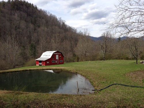
barn view powells tatecity seetatecity
See Tate City
blackandwhite mountains skyline mediumformat blackwhite backpacking summit appalachiantrail yashicaa
img013_edited-1
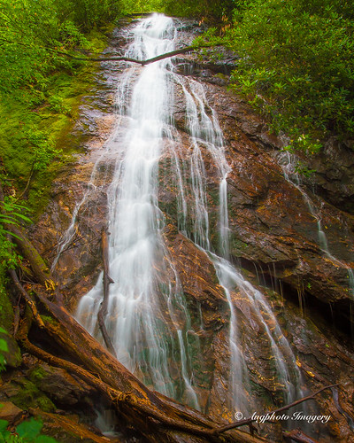
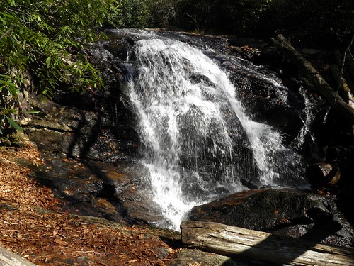
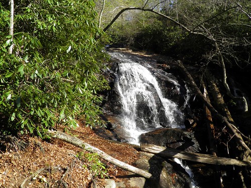
usa nature water franklin us waterfall nc augphotoimagery
Rufus Morgan Falls
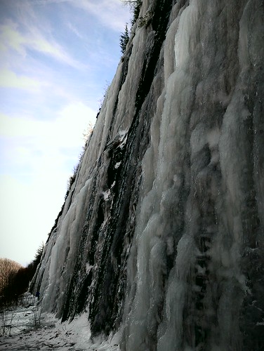
trip family snow mountains cars ice fun climb nc tn roadtrip trucks
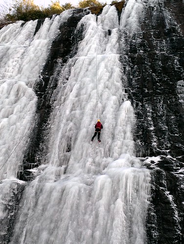
Interstate ice wall
trip family snow mountains cars ice fun climb nc tn roadtrip trucks
Interstate ice climbers
Blue ridge mountains~wayah bald
creek sunrise canon north carolina shooting 5dmkii 2470mm28lii
Shooting Creek Sunrise_IMG_20150509_2727
canon dawn 5d mkii 2470mm28lii
Shooting Creek_IMG_20150509_2722
Sunrise Shooting Creek_IMG_20150509_2723
square squareformat iphoneography instagramapp uploaded:by=instagram
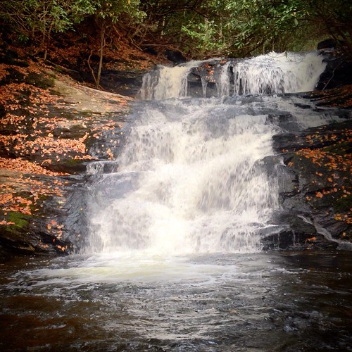
Big Laurel Falls #franklin #standingindian #appalachia #blueridgecountry #welovenc #we_see_wnc #wilderness_culture #biglaurelfalls #diamondbrand_outdoors #cmc100challenge #stream #falls #explore #westernnorthcarolina #landofwaterfalls
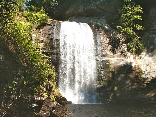
Looking Glass Falls, Pisgah National Forest, NC
Standing Indian20
northcarolina september2009
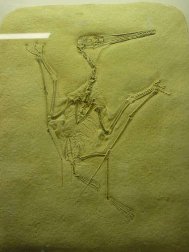
bird-like fossil
Standing Indian19
franklin nc northcarolina westernnorthcarolina rufusmorganfalls nc441
Rufus Morgan Trailhead-8426
Standing Indian9
georgia us waterfall unitedstates fineart tatecity dentonbranchfalls tobygant tobygantphotography
Denton Branch Falls-Toby Gant-2014
Standing Indian12