Elevation of 59 Rich Rd, Franklin, NC, USA
Location: United States > North Carolina > Macon County > Cartoogechaye >
Longitude: -83.503038
Latitude: 35.11988
Elevation: 733m / 2405feet
Barometric Pressure: 93KPa
Elevation Map:
Satellite Map:
Related Photos:

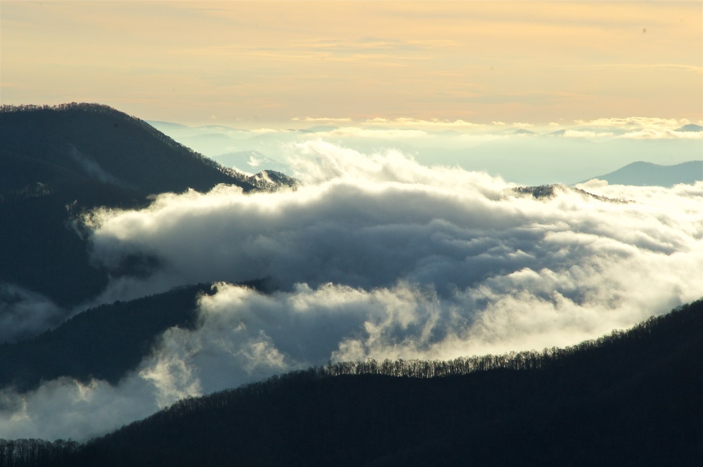
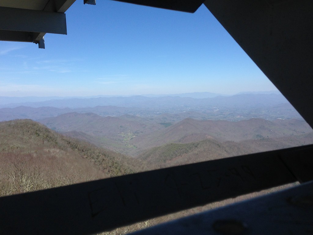
Smoky Mountains on Fire (II)

Smoky Mountains on Fire (III)

W4C/WM-024 - Siler Bald View
82-140_View_from_Wayah_Bald_Nantahala_National_Forest_NC
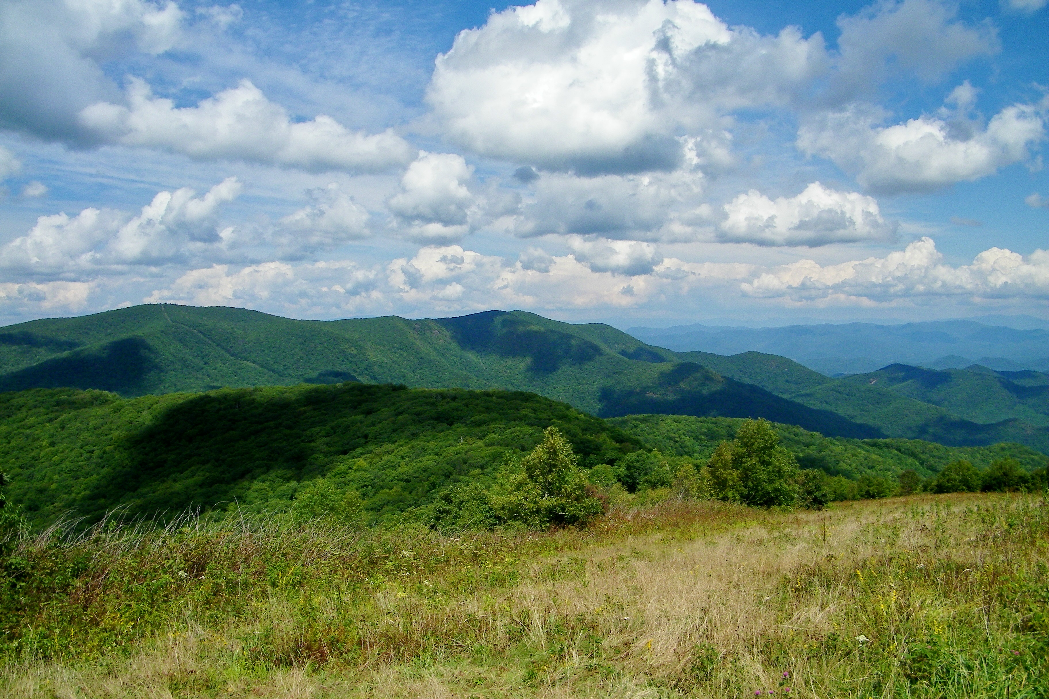
View from Silar Bald

Fringed Phacelia
Standing Indian22
Standing Indian24

Wayah Bald Fire Tower - Franklin, North Carolina (HDR)
W4C/WM-024 - Siler Bald View
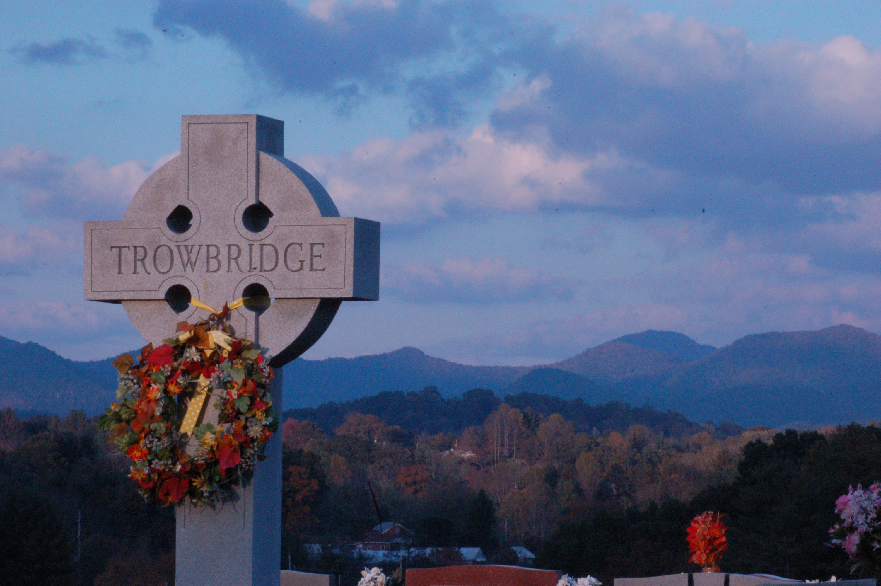
Cemetary View
View from Wayah Bald Tower
Standing Indian23
View from Albert Mountain
Silers Bald
img013_edited-1

Albert Mountain Fire Tower
Albert Mountain Fire Tower
A view from Mt Albert
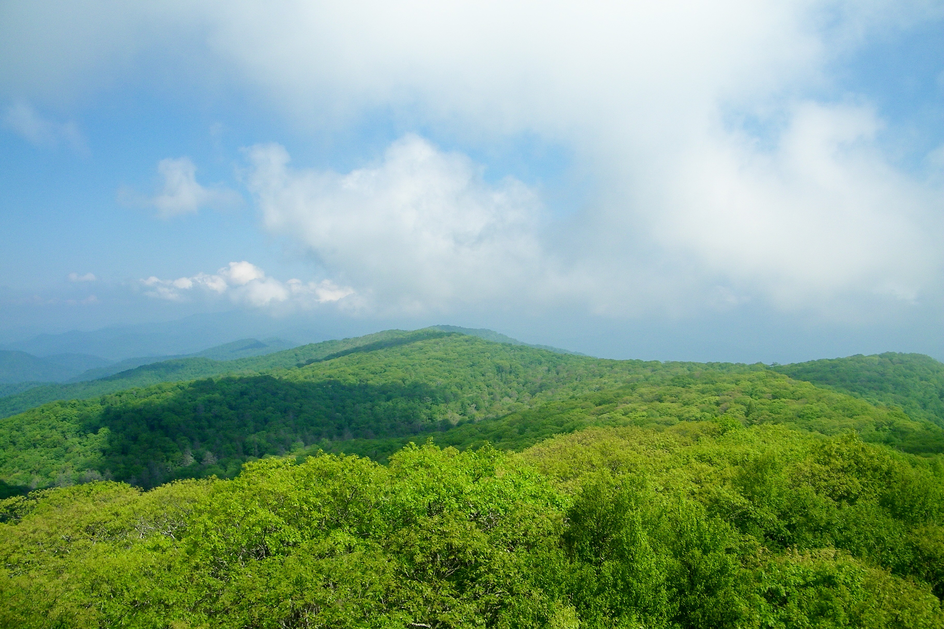
Standing Indian Mountain
W4C/WM-024 - Siler Bald View

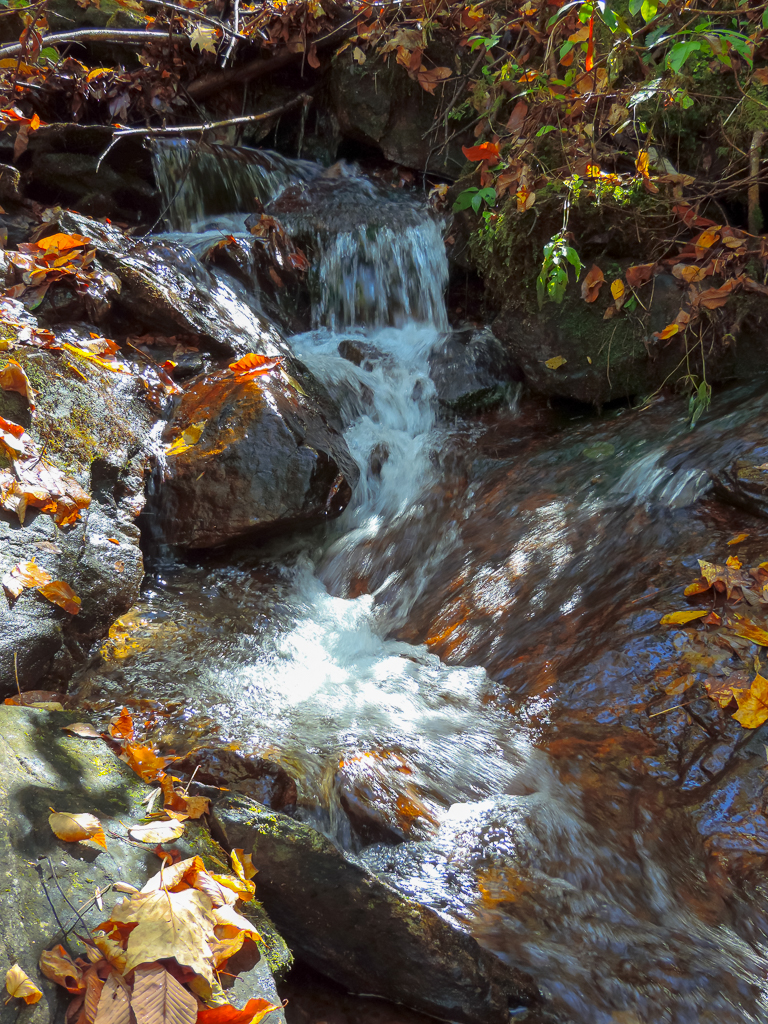
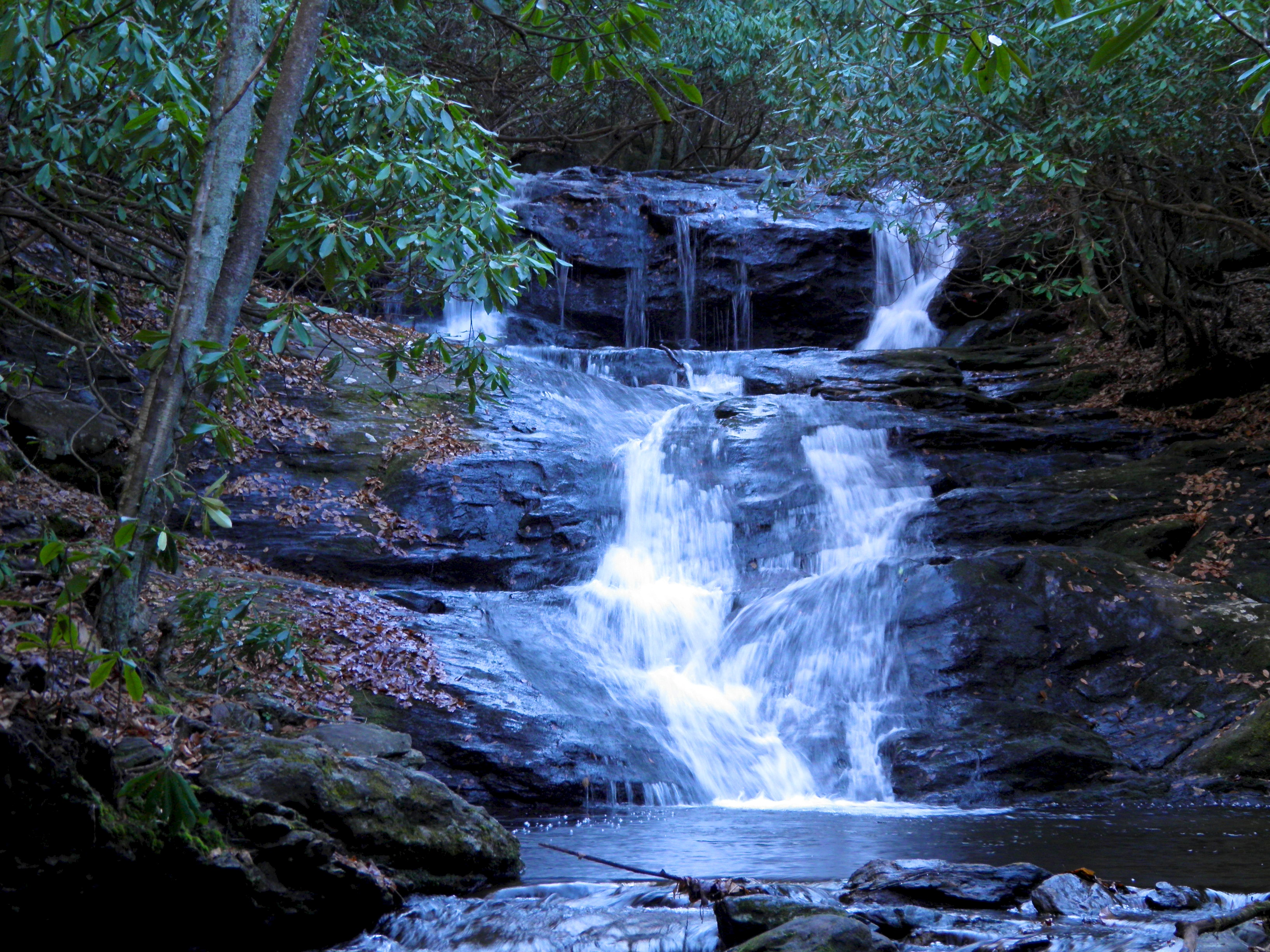
Big Laurel Falls #franklin #standingindian #appalachia #blueridgecountry #welovenc #we_see_wnc #wilderness_culture #biglaurelfalls #diamondbrand_outdoors #cmc100challenge #stream #falls #explore #westernnorthcarolina #landofwaterfalls
Rufus Morgan Trailhead-8489
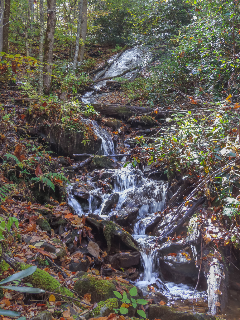
Rufus Morgan Falls-8485

Rufus Morgan Falls-8483

Rufus Morgan Trailhead-8426
Rufus Morgan Trailhead-8459
Rufus Morgan Trailhead-8457
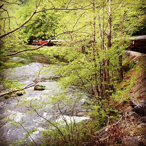
Train tour of the Great Smoky Mts
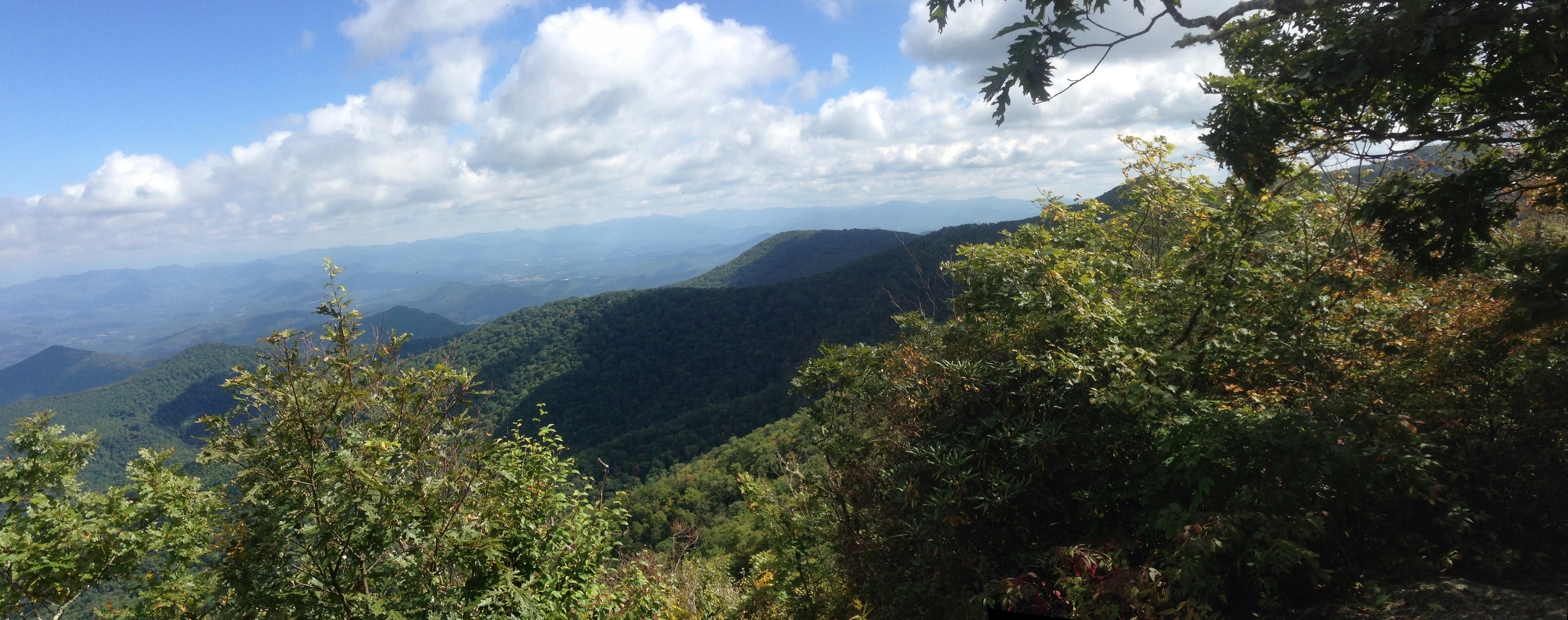
2013-09-28 14.02.55_stitch
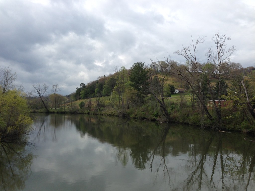
Little Tennessee River
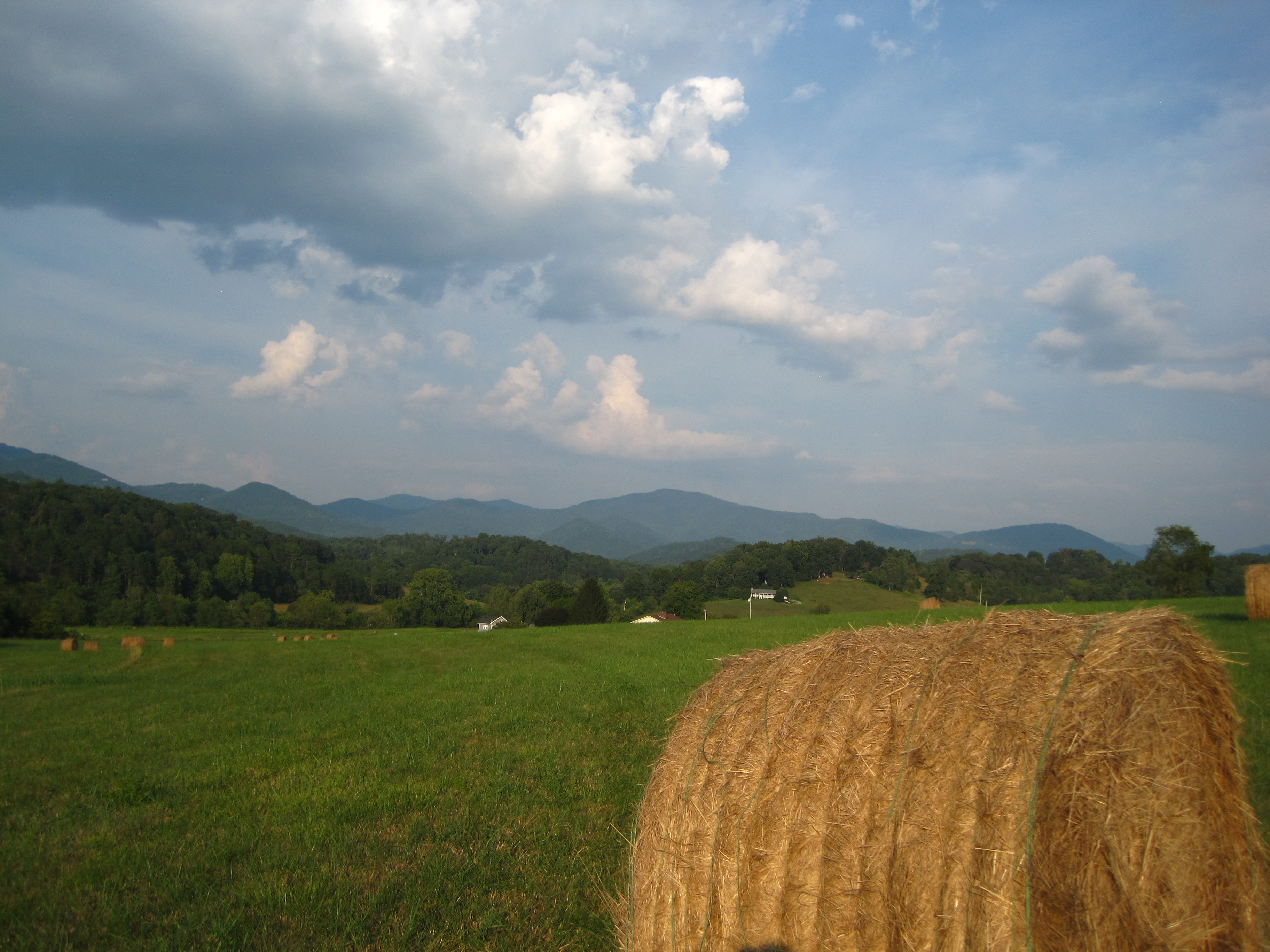
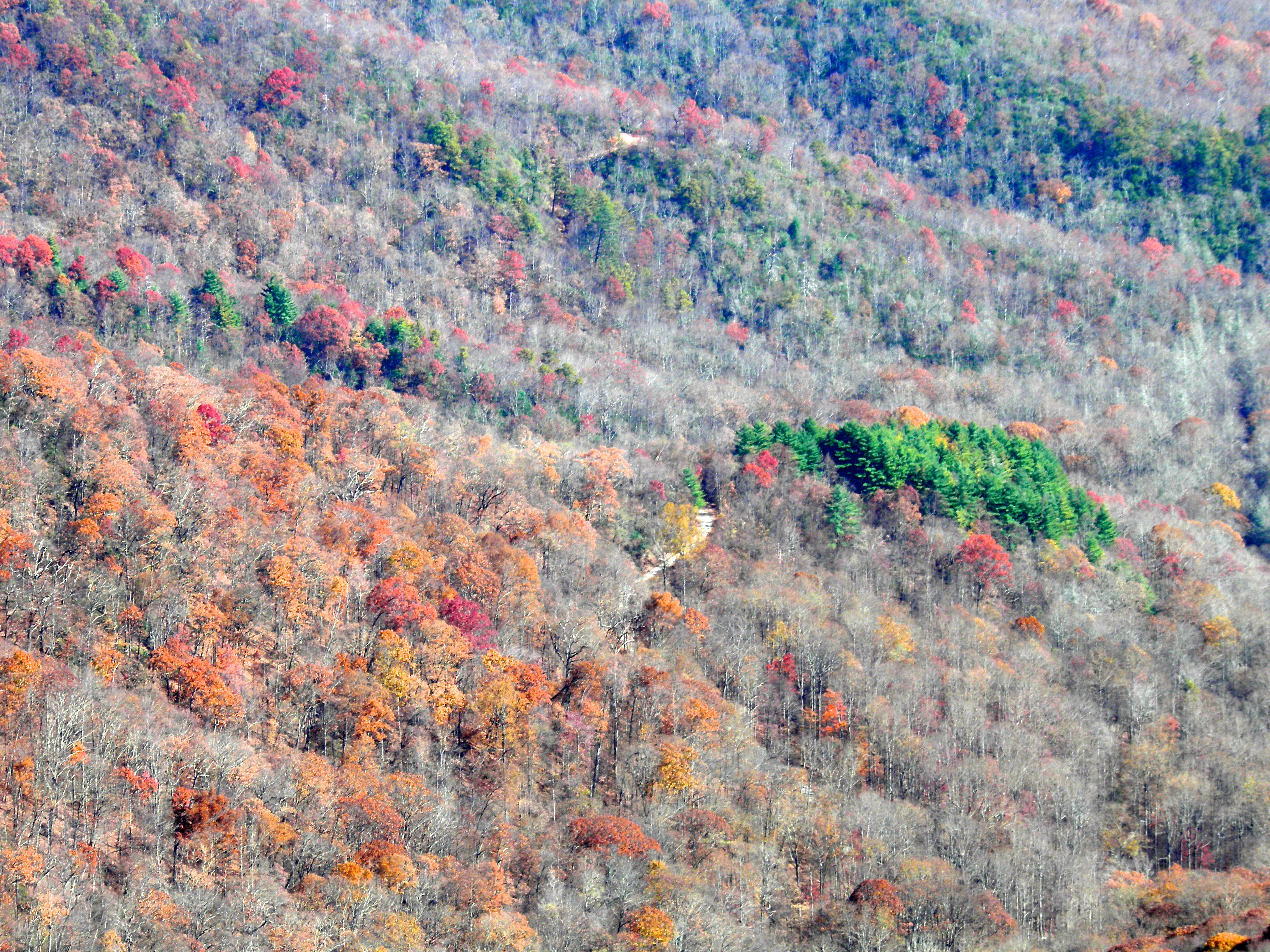
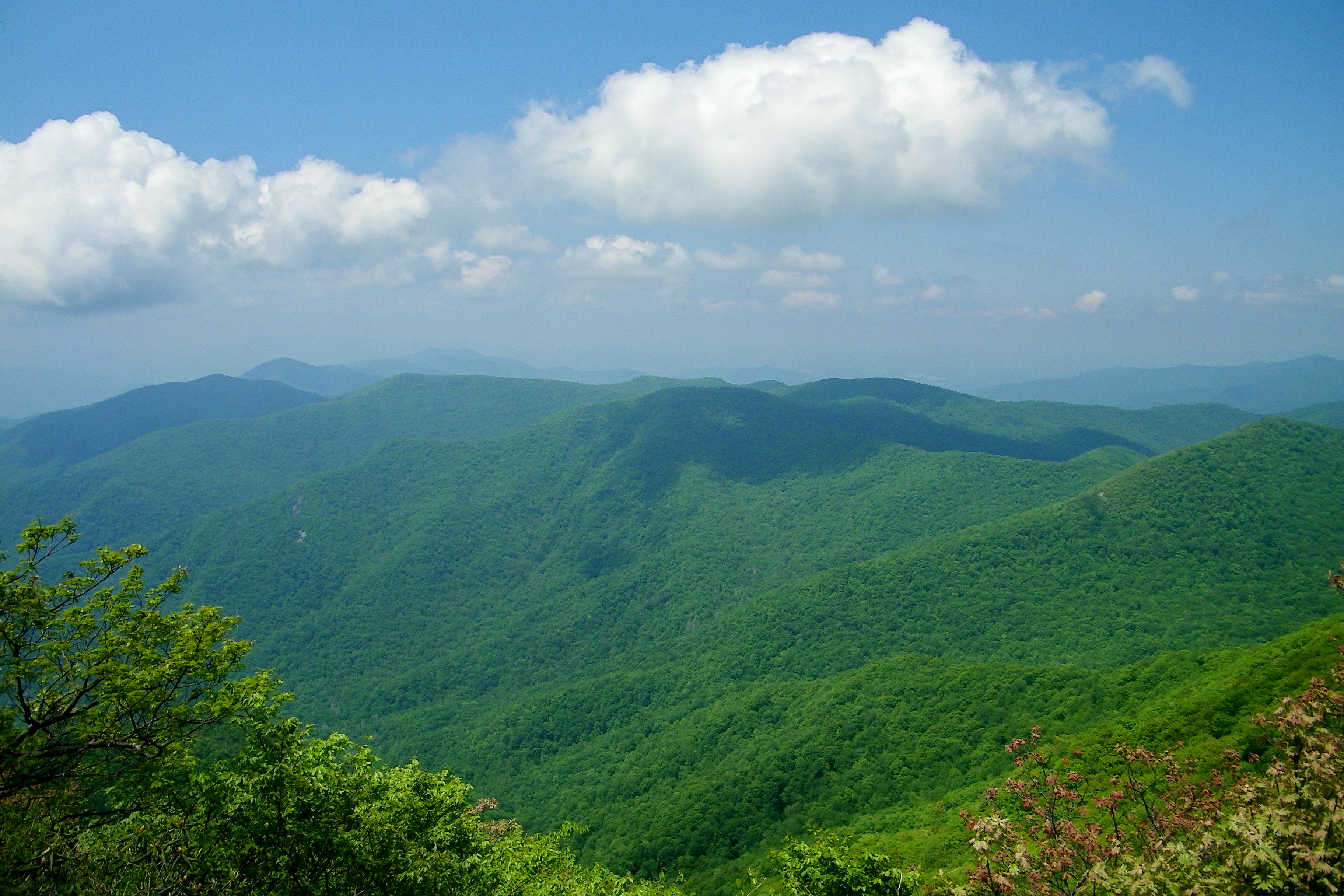
The Cowee Mountains.

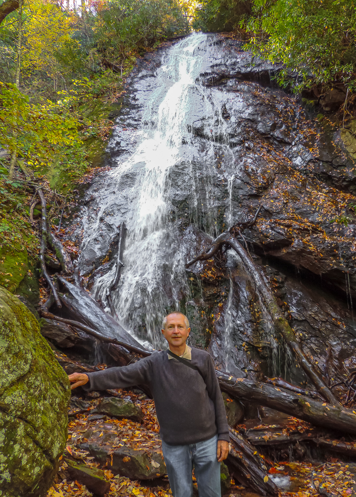
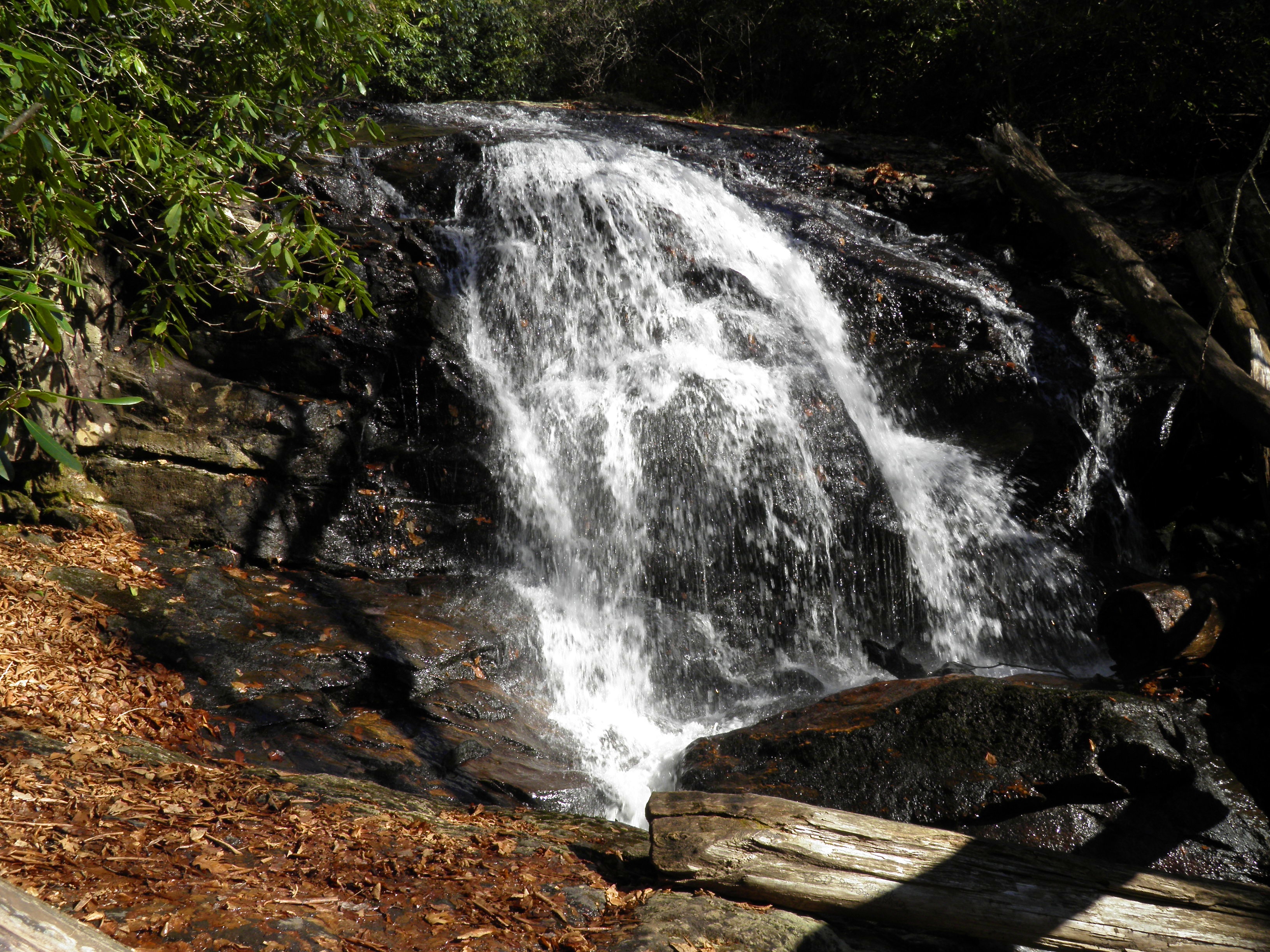
Rufus Morgan Falls
Standing Indian20

Standing Indian19

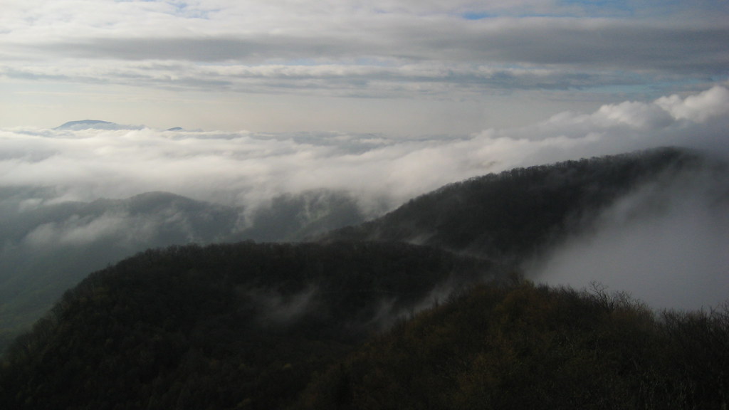
Low cloudbank descending over the Pinnacle from Albert Mountain summit, Nantahala National Forest
Standing Indian9
Topographic Map of 59 Rich Rd, Franklin, NC, USA
Find elevation by address:

Places near 59 Rich Rd, Franklin, NC, USA:
8 Rich Rd
Anderson Creek Road
175 Anderson Creek Rd
550 Anderson Creek Rd
923 Anderson Creek Rd
West Dills Creek Road
158 Meadowview Trail
Meadowview Trail
Meadowview Trail
Meadowview Trail
172 Crestline Dr
342 Poplar Ridge Ln
538 Poplar Cove Rd
83 Hideway Ln
4187 W Old Murphy Rd
241 Dorsey Dr
83 Hideaway Dr
West Old Murphy Road
158 Groaning Hill Rd
289 Harrison Gap Rd
Recent Searches:
- Elevation of Corso Fratelli Cairoli, 35, Macerata MC, Italy
- Elevation of Tallevast Rd, Sarasota, FL, USA
- Elevation of 4th St E, Sonoma, CA, USA
- Elevation of Black Hollow Rd, Pennsdale, PA, USA
- Elevation of Oakland Ave, Williamsport, PA, USA
- Elevation of Pedrógão Grande, Portugal
- Elevation of Klee Dr, Martinsburg, WV, USA
- Elevation of Via Roma, Pieranica CR, Italy
- Elevation of Tavkvetili Mountain, Georgia
- Elevation of Hartfords Bluff Cir, Mt Pleasant, SC, USA