Elevation of Griffith Mountain, Colorado, USA
Location: United States > Colorado > Clear Creek County >
Longitude: -105.67389
Latitude: 39.7016542
Elevation: 3527m / 11571feet
Barometric Pressure: 66KPa
Elevation Map:
Satellite Map:
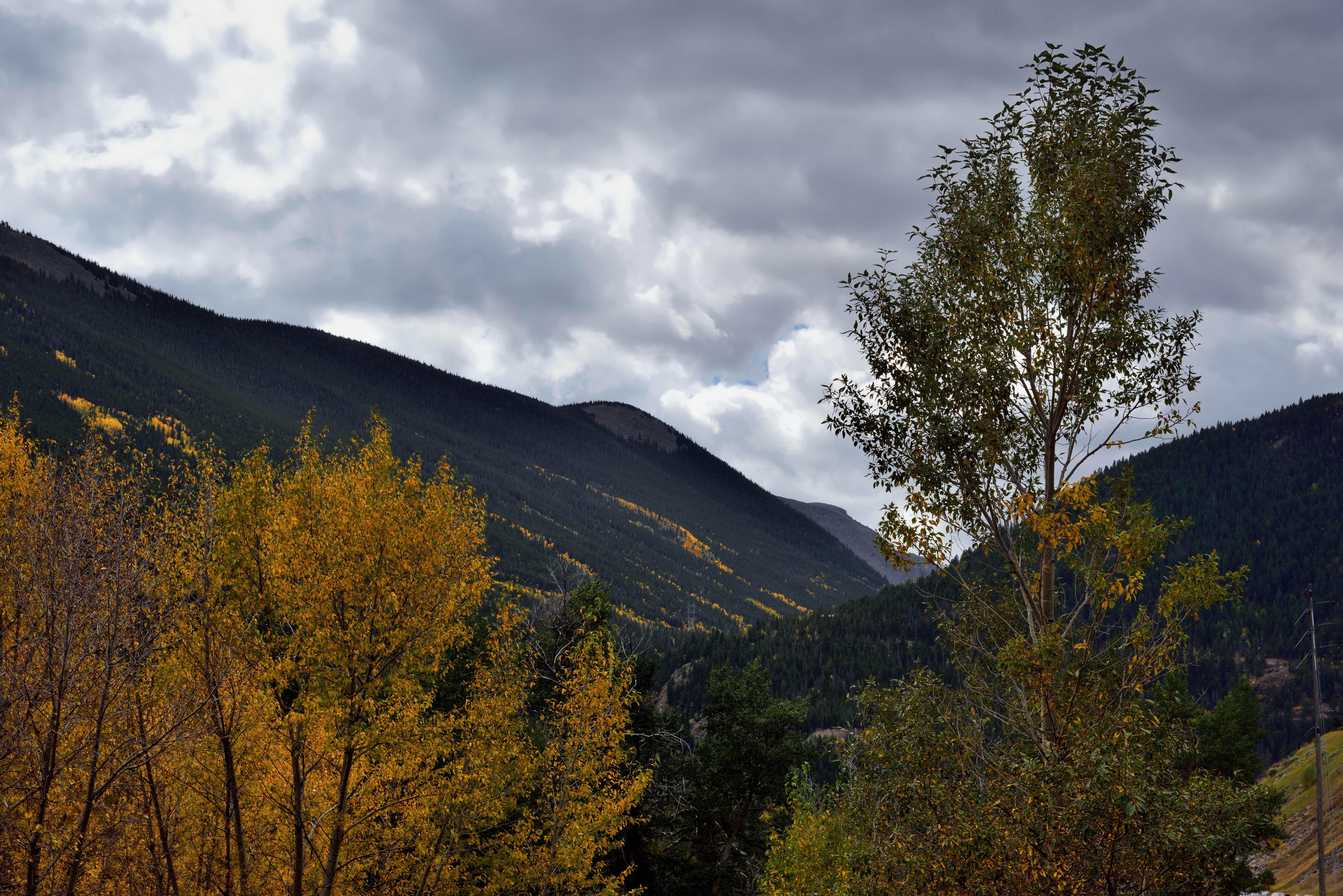
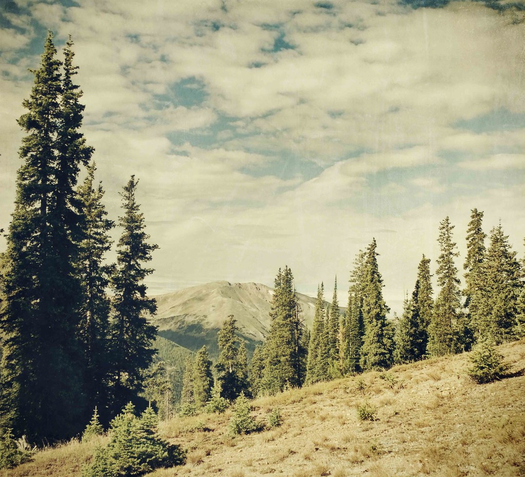
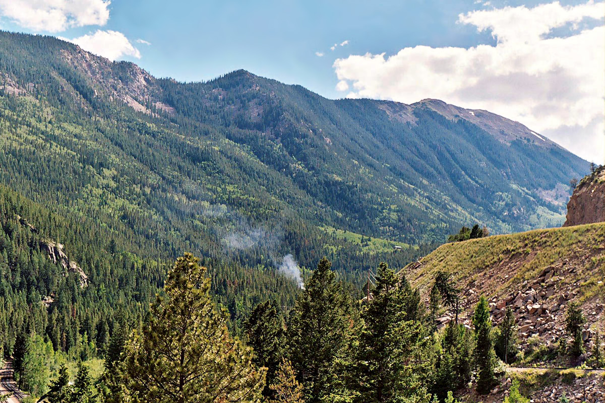
Related Photos:

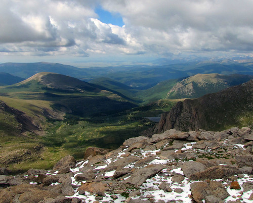
View From Torreys Peak
Front Range of the Colorado Rockies
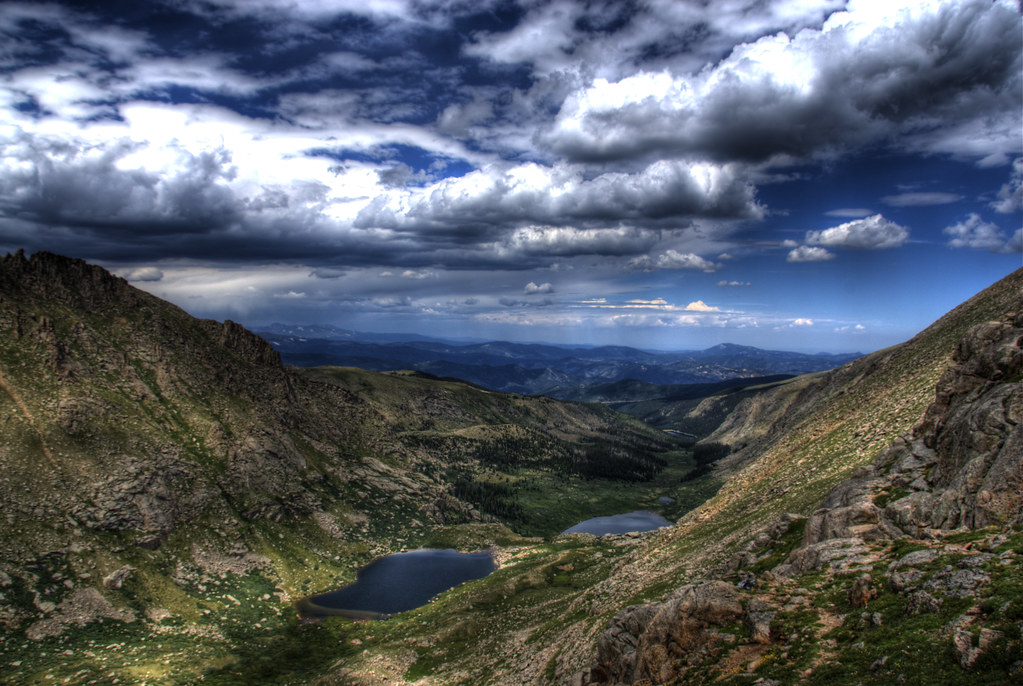
Chicago Lakes
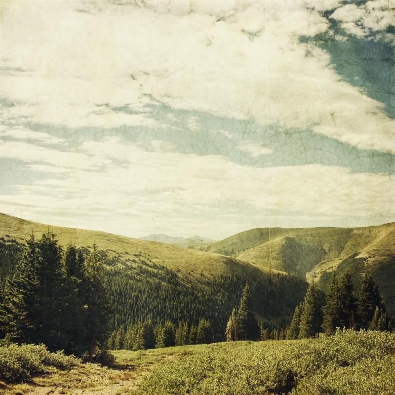
treeline standing

865: Mt Bierstadt w/2013 KTM 690 Enduro R
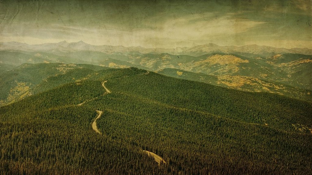
road to gold
A View of Mountains as Far as the Eye Could See

Pyramids in Colorado
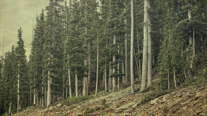
the forest
completely quite

Meyer-Womble Star Trails
Clear Creek Valley from Devil's Gate Bridge, Georgetown Loop Railroad

Greyhound over Berthoud Pass
View from the Summit of Berthoud Pass

Looking West toward central Idaho Springs from I-70

Greyhound over Berthoud Pass
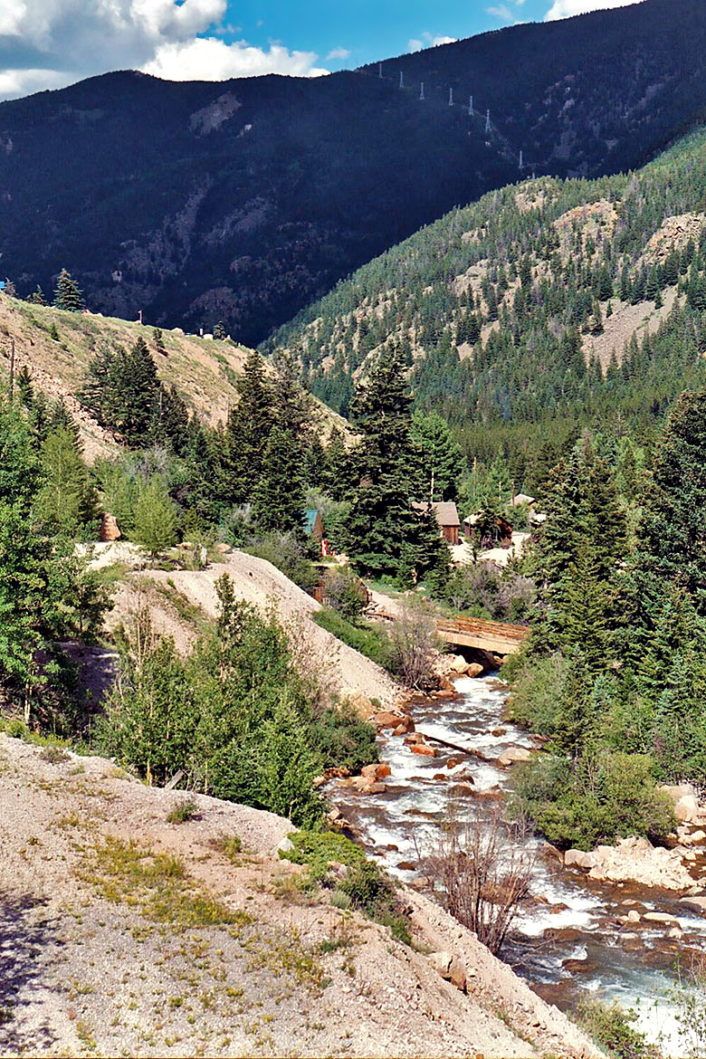
Clear Creek, Georgetown Loop Railroad
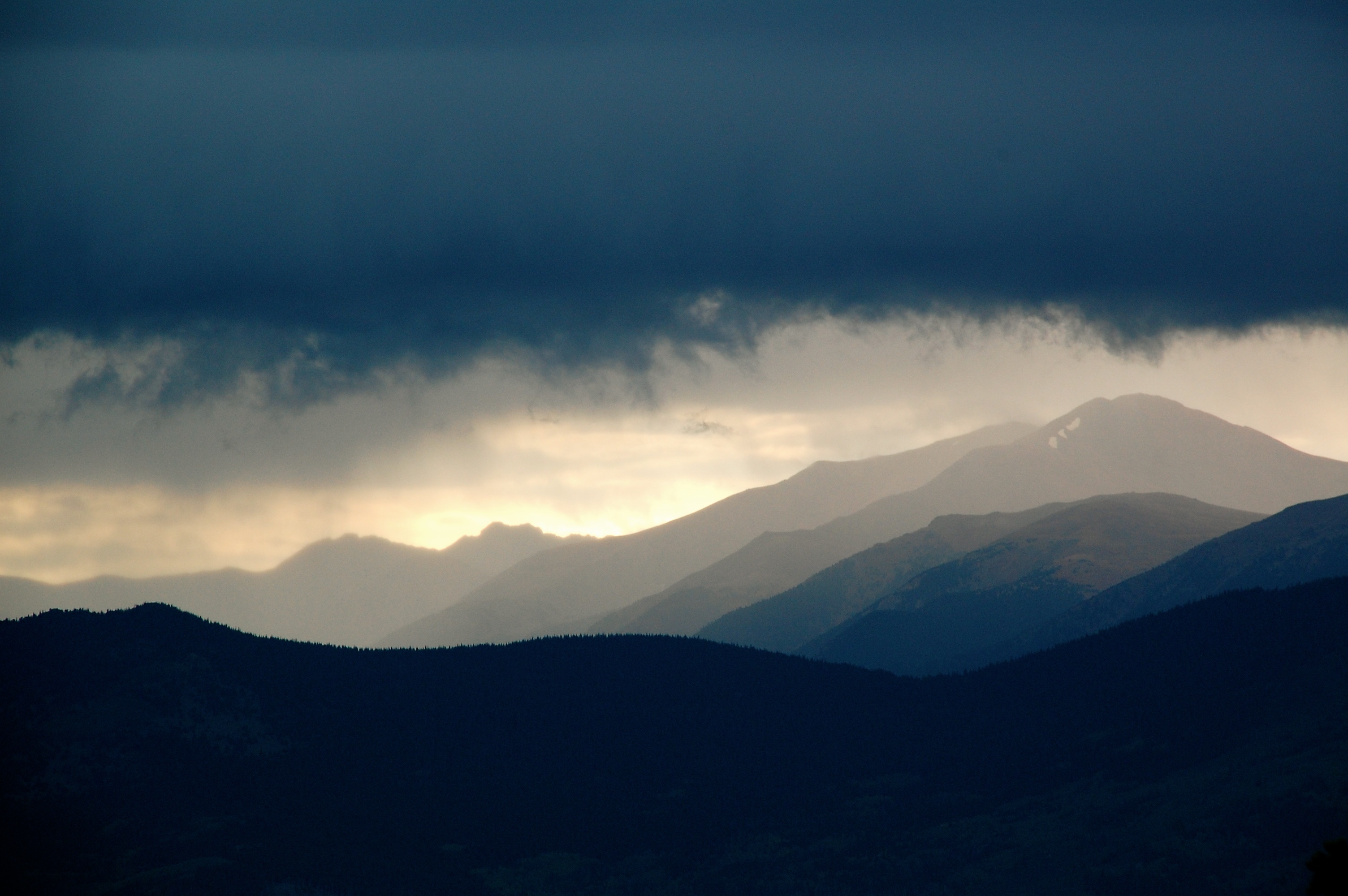
Stormy afternoon at Echo Lake
The way up

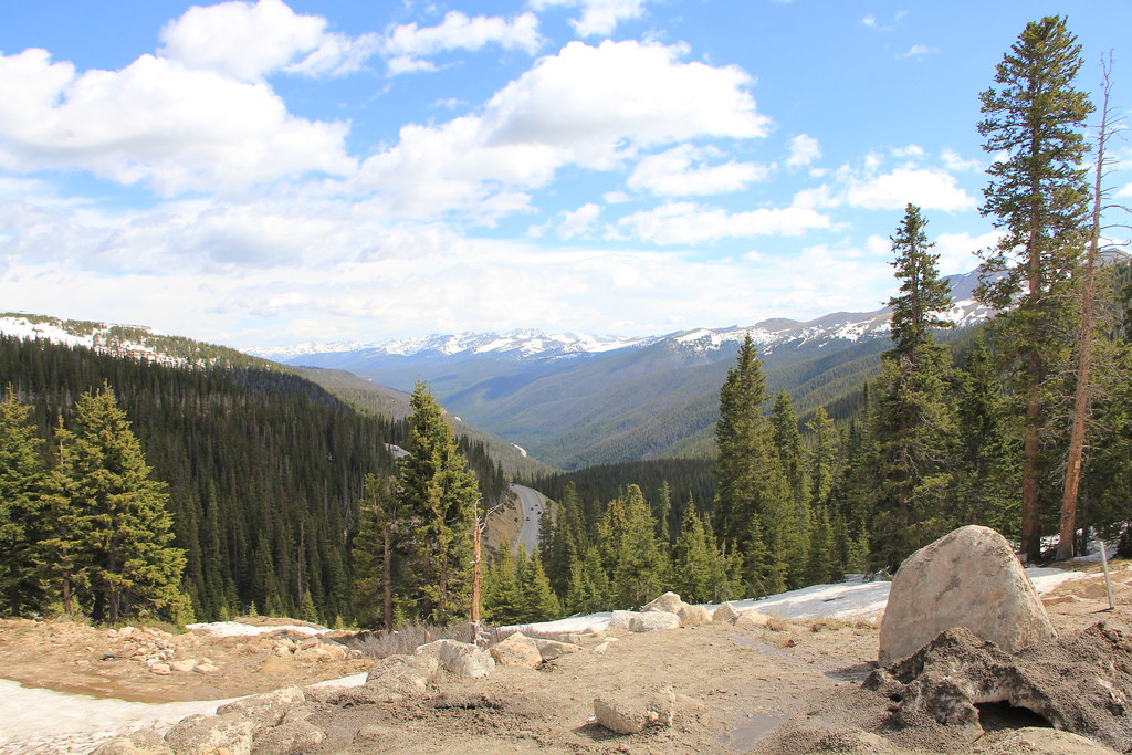
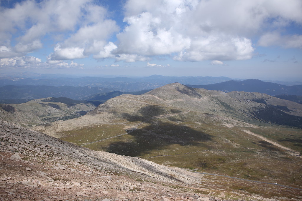
Mount Goliath Natural Area

Mount Goliath Natural Area
Topographic Map of Griffith Mountain, Colorado, USA
Find elevation by address:

Places near Griffith Mountain, Colorado, USA:
Saxon Mountain
Rose St, Georgetown, CO, USA
Georgetown
Guanella Pass Road
Guanella Pass Road
2500 Major Anderson Dr
Clear Creek County
Interstate 70
Guanella Pass Road
Silver Plume
Sugarloaf Peak
8810 W Chicago Creek Rd
Clear Lake Campground
616 Peaceful Valley Ln
Silver Plume Mountain
Devil's Nose Dispersed Shooting Area
Chicago Creek Road
Guanella Pass Campground
Mount Evans
Mount Bierstadt
Recent Searches:
- Elevation of Corso Fratelli Cairoli, 35, Macerata MC, Italy
- Elevation of Tallevast Rd, Sarasota, FL, USA
- Elevation of 4th St E, Sonoma, CA, USA
- Elevation of Black Hollow Rd, Pennsdale, PA, USA
- Elevation of Oakland Ave, Williamsport, PA, USA
- Elevation of Pedrógão Grande, Portugal
- Elevation of Klee Dr, Martinsburg, WV, USA
- Elevation of Via Roma, Pieranica CR, Italy
- Elevation of Tavkvetili Mountain, Georgia
- Elevation of Hartfords Bluff Cir, Mt Pleasant, SC, USA