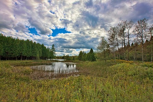
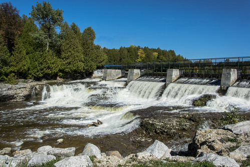
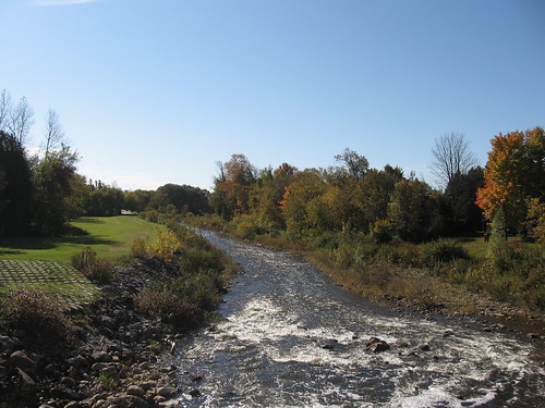
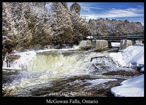
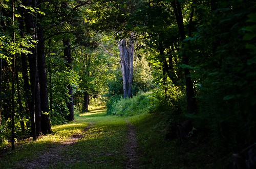
Elevation of Grey County Rd 4, Priceville, ON N0C 1K0, Canada
Location: Canada > Ontario > Grey County > Grey Highlands > Priceville >
Longitude: -80.741423
Latitude: 44.1915587
Elevation: 409m / 1342feet
Barometric Pressure: 97KPa
Related Photos:
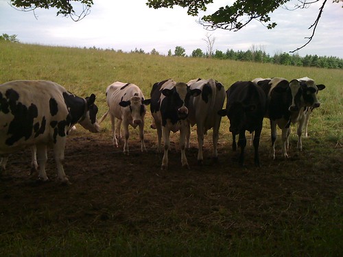
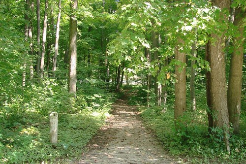
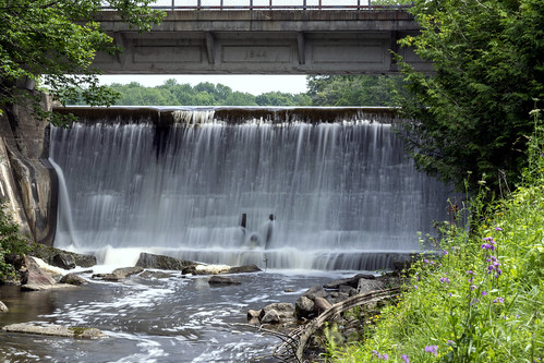
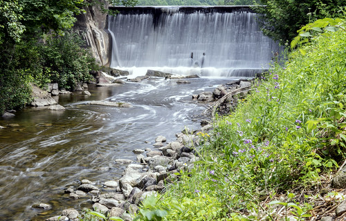
Topographic Map of Grey County Rd 4, Priceville, ON N0C 1K0, Canada
Find elevation by address:

Places near Grey County Rd 4, Priceville, ON N0C 1K0, Canada:
403751 Grey County Rd 4
403759 Grey County Rd 4
553249 Grey Rd 23
555 George St E
555 George St E
549 George St E
545 George St E
Wilder Lake Road
537 George St E
537 George St E
537 George St E
537 George St E
537 George St E
537 George St E
548 George St E
552 George St E
172 South Street E
590 Albert St S
Durham
14 Durham Rd E
Recent Searches:
- Elevation of Corso Fratelli Cairoli, 35, Macerata MC, Italy
- Elevation of Tallevast Rd, Sarasota, FL, USA
- Elevation of 4th St E, Sonoma, CA, USA
- Elevation of Black Hollow Rd, Pennsdale, PA, USA
- Elevation of Oakland Ave, Williamsport, PA, USA
- Elevation of Pedrógão Grande, Portugal
- Elevation of Klee Dr, Martinsburg, WV, USA
- Elevation of Via Roma, Pieranica CR, Italy
- Elevation of Tavkvetili Mountain, Georgia
- Elevation of Hartfords Bluff Cir, Mt Pleasant, SC, USA
