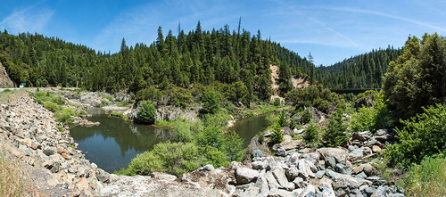
Elevation of Greenville, CA, USA
Location: United States > California >
Longitude: -120.95106
Latitude: 40.1396126
Elevation: 1090m / 3576feet
Barometric Pressure: 89KPa
Related Photos:
Topographic Map of Greenville, CA, USA
Find elevation by address:

Places in Greenville, CA, USA:
Places near Greenville, CA, USA:
Keddie Peak
CA-89, Crescent Mills, CA, USA
CA-89, Canyondam, CA, USA
Canyondam
Seneca
CA-, Lake Almanor, CA, USA
Twain
Westwood
Clear Creek
Park Hill Dr, Lake Almanor, CA, USA
Hamilton Branch
Canyondam, CA, USA
Quincy
1468 12 Mile Bar Rd
Almanor Dr W, Canyondam, CA, USA
Peninsula Dr, Lake Almanor, CA, USA
Lake Almanor Peninsula
Lake Almanor Country Club
Lake Almanor
609 Clifford Dr
Recent Searches:
- Elevation of Corso Fratelli Cairoli, 35, Macerata MC, Italy
- Elevation of Tallevast Rd, Sarasota, FL, USA
- Elevation of 4th St E, Sonoma, CA, USA
- Elevation of Black Hollow Rd, Pennsdale, PA, USA
- Elevation of Oakland Ave, Williamsport, PA, USA
- Elevation of Pedrógão Grande, Portugal
- Elevation of Klee Dr, Martinsburg, WV, USA
- Elevation of Via Roma, Pieranica CR, Italy
- Elevation of Tavkvetili Mountain, Georgia
- Elevation of Hartfords Bluff Cir, Mt Pleasant, SC, USA
