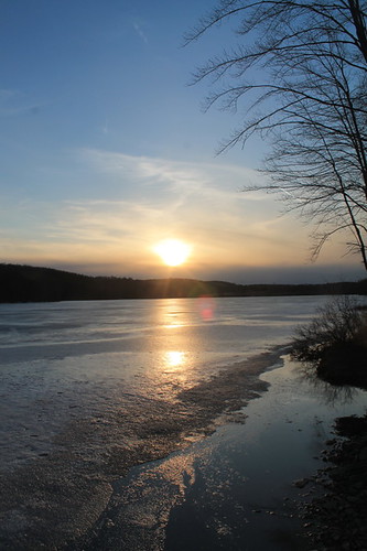
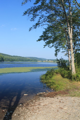
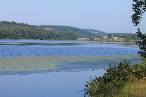
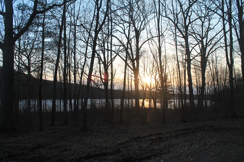
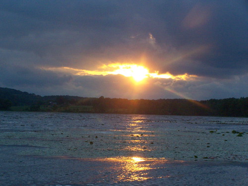
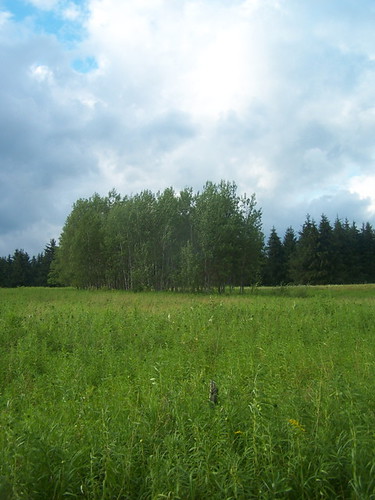
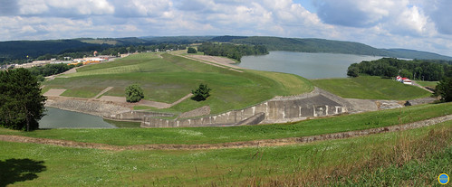
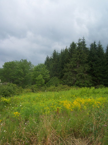
Elevation of Greene, NY, USA
Location: United States > New York > Chenango County > Greene >
Longitude: -75.769914
Latitude: 42.3292408
Elevation: 280m / 919feet
Barometric Pressure: 98KPa
Related Photos:
Topographic Map of Greene, NY, USA
Find elevation by address:

Places in Greene, NY, USA:
Places near Greene, NY, USA:
Greene
210 Sherman Rd
NY-12, Greene, NY, USA
113 Timberview Ln
177 Raleigh Rd
841 Indian Brook Rd
556 Moran Rd
Meade Rd, Port Crane, NY, USA
Tunnel
Main St, Port Crane, NY, USA
Ballyhack Rd, Port Crane, NY, USA
22 Hawkins Hill Rd
815 Ballyhack Rd
535 County Rd 221
535 County Rd 221
Fenton
North Road
NY-41, Greene, NY, USA
Coventry
197 Porter Hollow Rd
Recent Searches:
- Elevation of Corso Fratelli Cairoli, 35, Macerata MC, Italy
- Elevation of Tallevast Rd, Sarasota, FL, USA
- Elevation of 4th St E, Sonoma, CA, USA
- Elevation of Black Hollow Rd, Pennsdale, PA, USA
- Elevation of Oakland Ave, Williamsport, PA, USA
- Elevation of Pedrógão Grande, Portugal
- Elevation of Klee Dr, Martinsburg, WV, USA
- Elevation of Via Roma, Pieranica CR, Italy
- Elevation of Tavkvetili Mountain, Georgia
- Elevation of Hartfords Bluff Cir, Mt Pleasant, SC, USA
