Elevation of Greene County, MS, USA
Location: United States > Mississippi >
Longitude: -88.710896
Latitude: 31.1646163
Elevation: 41m / 135feet
Barometric Pressure: 101KPa
Elevation Map:
Satellite Map:
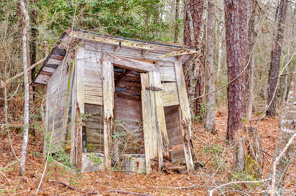
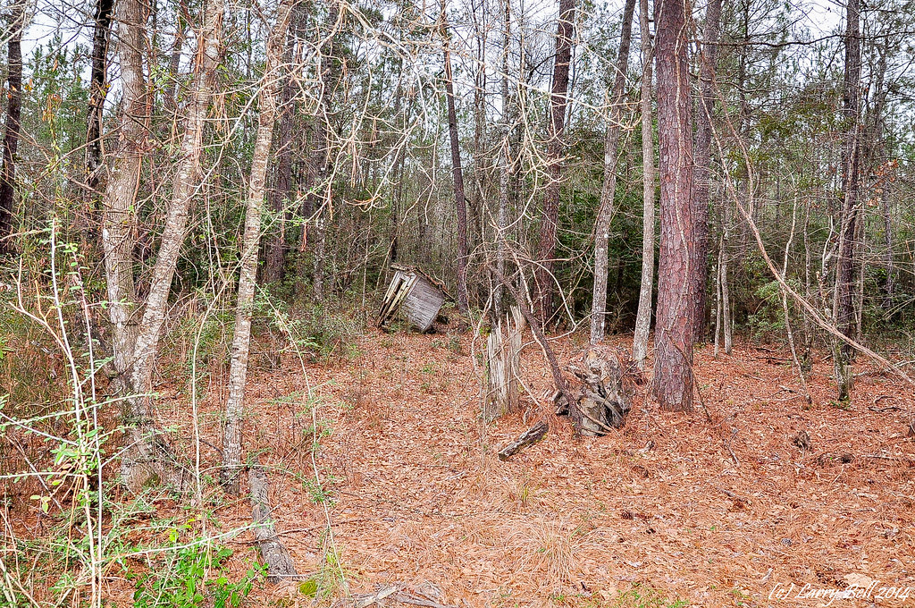
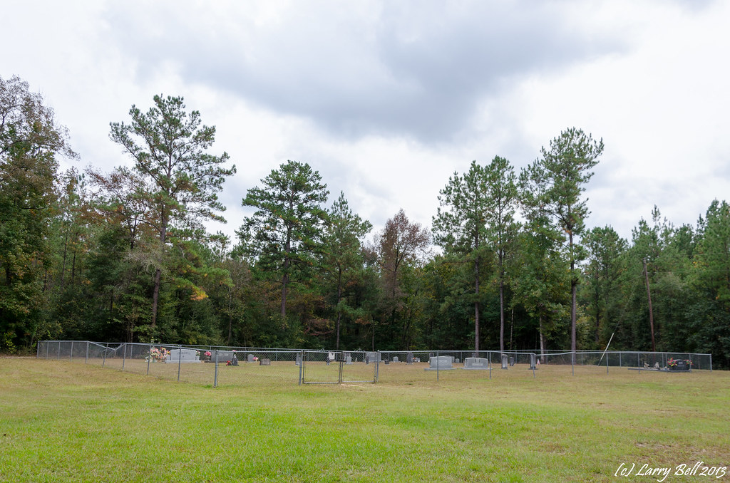
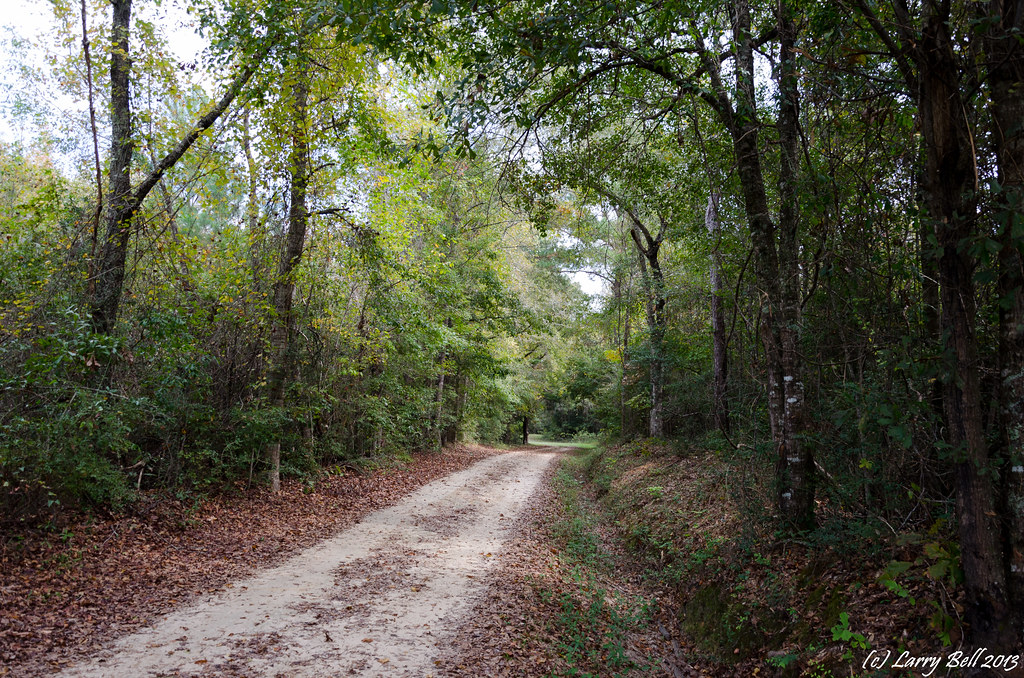
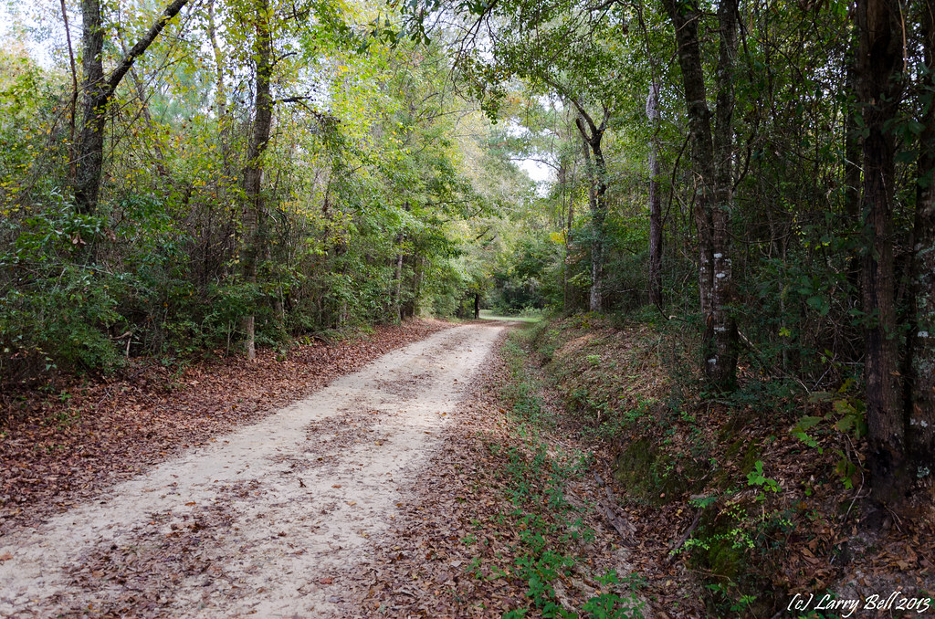
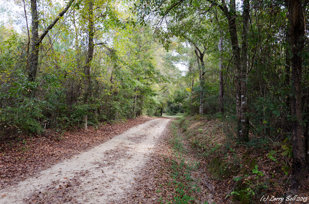
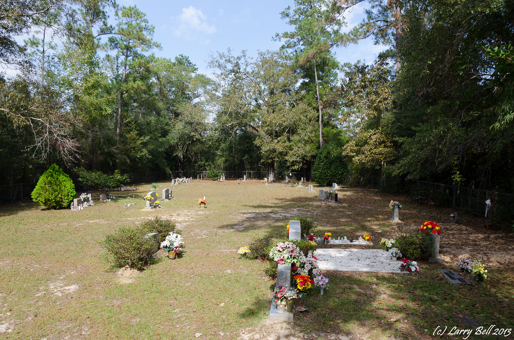
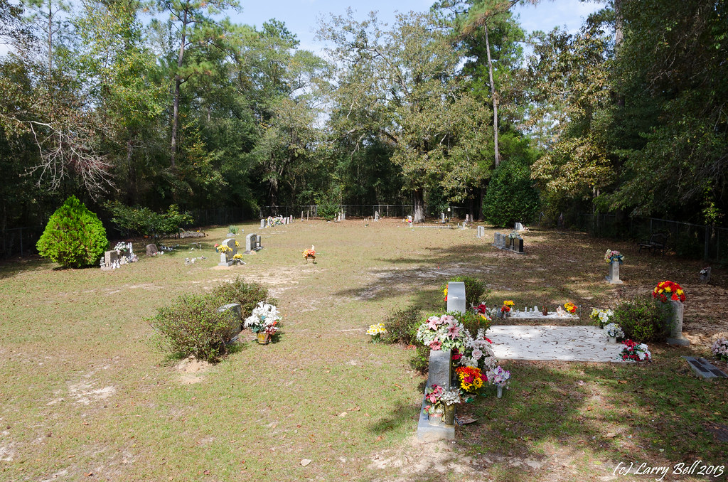
Related Photos:

_DSC0832.jpg
DSC_3458.jpg
DSC_3449.jpg
_DSC0848.jpg
_DSC0801.jpg
_DSC0800.jpg
_DSC0799.jpg
_DSC0740.jpg
_DSC0739.jpg
DSC_0623_DxO.jpg
Topographic Map of Greene County, MS, USA
Find elevation by address:

Places near Greene County, MS, USA:
1702 Green Ave
Beaumont
Rail Rd St, Beaumont, MS, USA
1507 Bee Tree Rd
Main Street
121 Otho Sellers Rd
Richton
802 Dogwood Ave
802 Dogwood Ave
Perry County
201 F S 382
6194 Old River Rd
Old River Road
31 Kate Travis Dr, Petal, MS, USA
9 R S Seay Rd, Hattiesburg, MS, USA
Old River Rd, Petal, MS, USA
Old Hwy 49 E, Hattiesburg, MS, USA
520 Macedonia Rd
203 Wildwood Trail
85 Mclaurin Rd
Recent Searches:
- Elevation of Corso Fratelli Cairoli, 35, Macerata MC, Italy
- Elevation of Tallevast Rd, Sarasota, FL, USA
- Elevation of 4th St E, Sonoma, CA, USA
- Elevation of Black Hollow Rd, Pennsdale, PA, USA
- Elevation of Oakland Ave, Williamsport, PA, USA
- Elevation of Pedrógão Grande, Portugal
- Elevation of Klee Dr, Martinsburg, WV, USA
- Elevation of Via Roma, Pieranica CR, Italy
- Elevation of Tavkvetili Mountain, Georgia
- Elevation of Hartfords Bluff Cir, Mt Pleasant, SC, USA