Elevation of Dogwood Ave, Richton, MS, USA
Location: United States > Mississippi > Richton >
Longitude: -88.944295
Latitude: 31.3489701
Elevation: 67m / 220feet
Barometric Pressure: 101KPa
Elevation Map:
Satellite Map:
Related Photos:
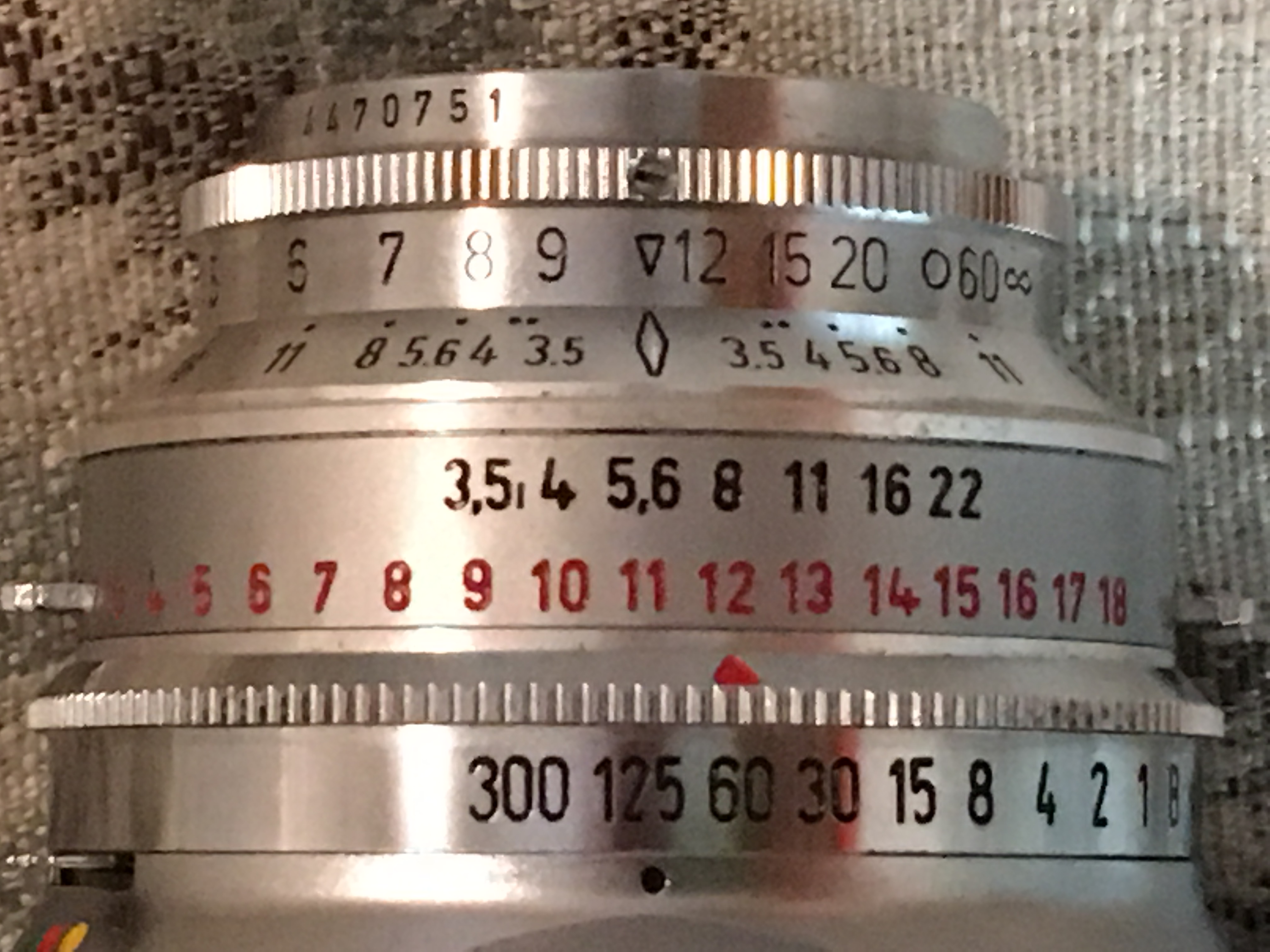
Vito B Lens
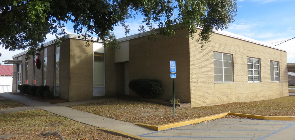
Federal Building and Post Office 39476 (Richton, Mississippi)
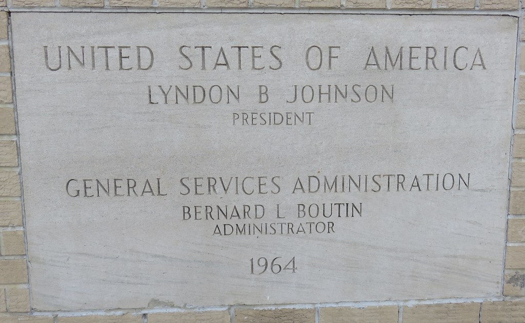
Federal Building and Post Office 39476 Cornerstone (Richton, Mississippi)
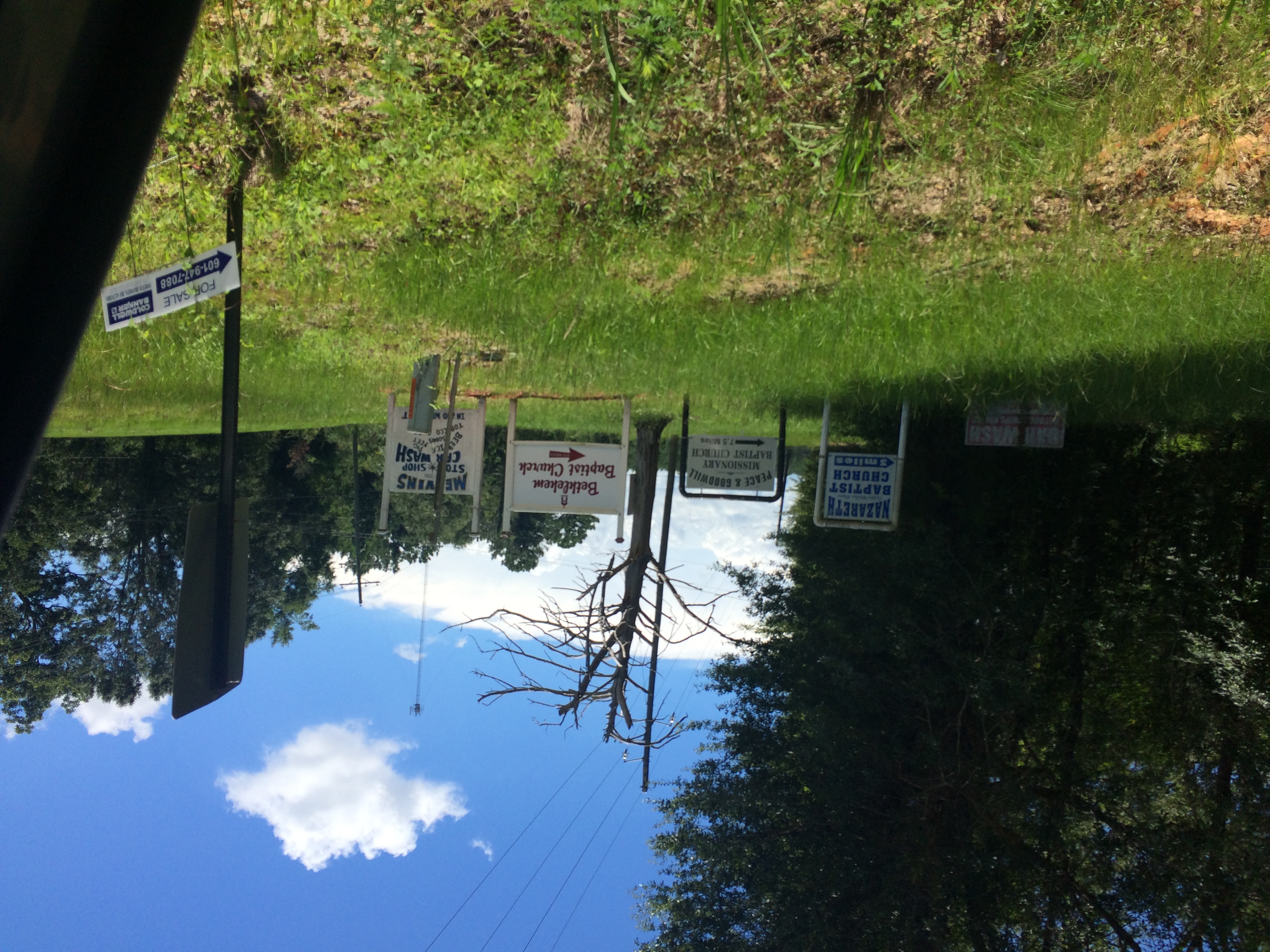
Bible belt buckle

Jeans Family Hangin' Out

Gaines Creek Bridge
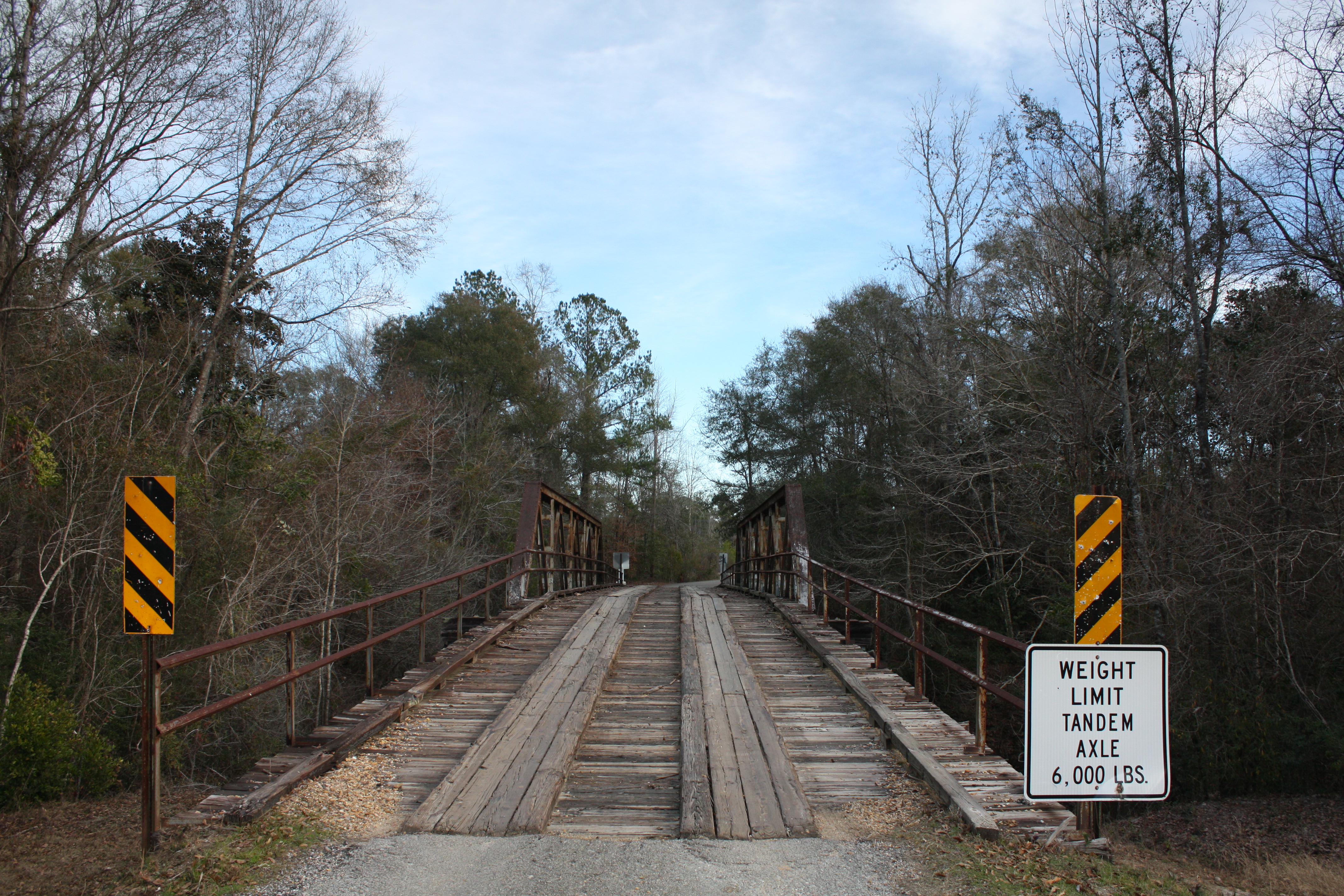
Sand Hill Creek Bridge
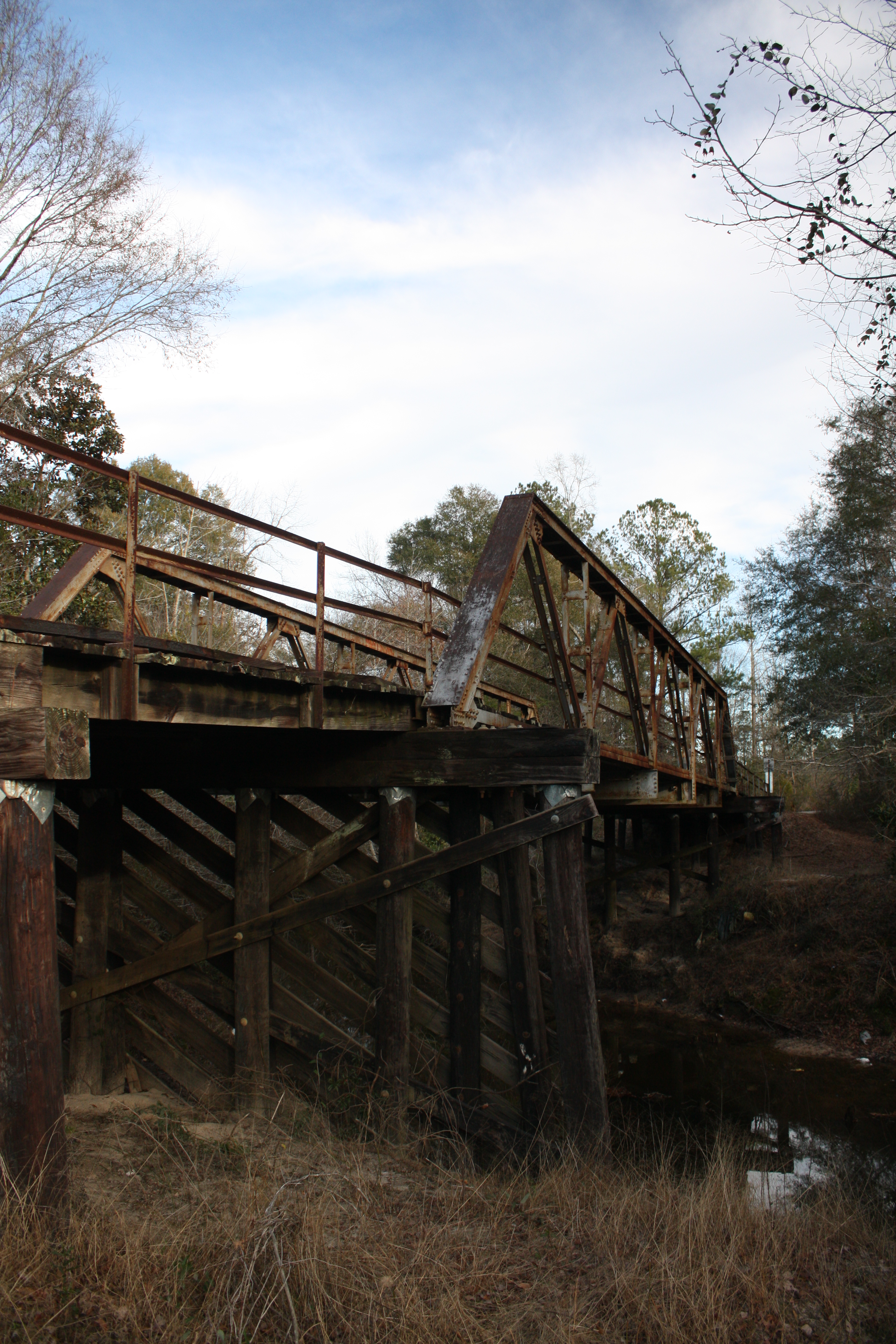
Sand Hill Creek Bridge
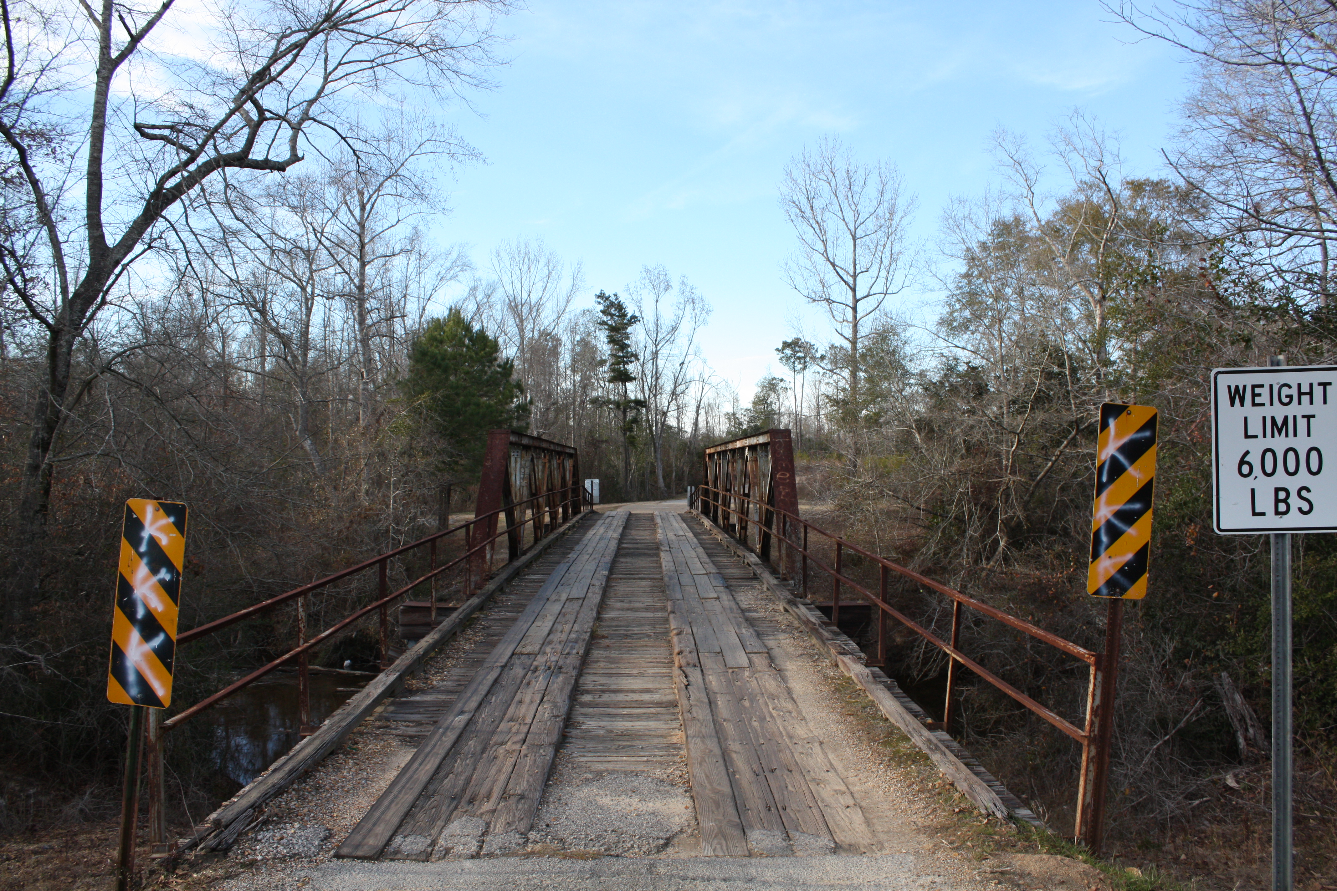
Piney Woods Creek Bridge

1 Month pic1

1 Month pic2

1 Month pic3

1 Month pic5

1 Month pic6

1 Month pic7

1 Month pic11

1 Month pic12

1 Month pic13

1 Month pic15

1 Month pic16

1 Month pic20
Topographic Map of Dogwood Ave, Richton, MS, USA
Find elevation by address:

Places near Dogwood Ave, Richton, MS, USA:
802 Dogwood Ave
Richton
121 Otho Sellers Rd
1507 Bee Tree Rd
Beaumont
Rail Rd St, Beaumont, MS, USA
1702 Green Ave
Perry County
31 Kate Travis Dr, Petal, MS, USA
6194 Old River Rd
520 Macedonia Rd
Old River Road
203 Wildwood Trail
Old River Rd, Petal, MS, USA
9 R S Seay Rd, Hattiesburg, MS, USA
Sunrise Rd, Petal, MS, USA
7 Morriston Rd, Petal, MS, USA
46 Floyd Strickland Rd
243 Smithville Rd
Freedom Road
Recent Searches:
- Elevation of Corso Fratelli Cairoli, 35, Macerata MC, Italy
- Elevation of Tallevast Rd, Sarasota, FL, USA
- Elevation of 4th St E, Sonoma, CA, USA
- Elevation of Black Hollow Rd, Pennsdale, PA, USA
- Elevation of Oakland Ave, Williamsport, PA, USA
- Elevation of Pedrógão Grande, Portugal
- Elevation of Klee Dr, Martinsburg, WV, USA
- Elevation of Via Roma, Pieranica CR, Italy
- Elevation of Tavkvetili Mountain, Georgia
- Elevation of Hartfords Bluff Cir, Mt Pleasant, SC, USA