Elevation of Green Township, IN, USA
Location: United States > Indiana > Noble County >
Longitude: -85.375624
Latitude: 41.2885107
Elevation: 273m / 896feet
Barometric Pressure: 98KPa
Elevation Map:
Satellite Map:
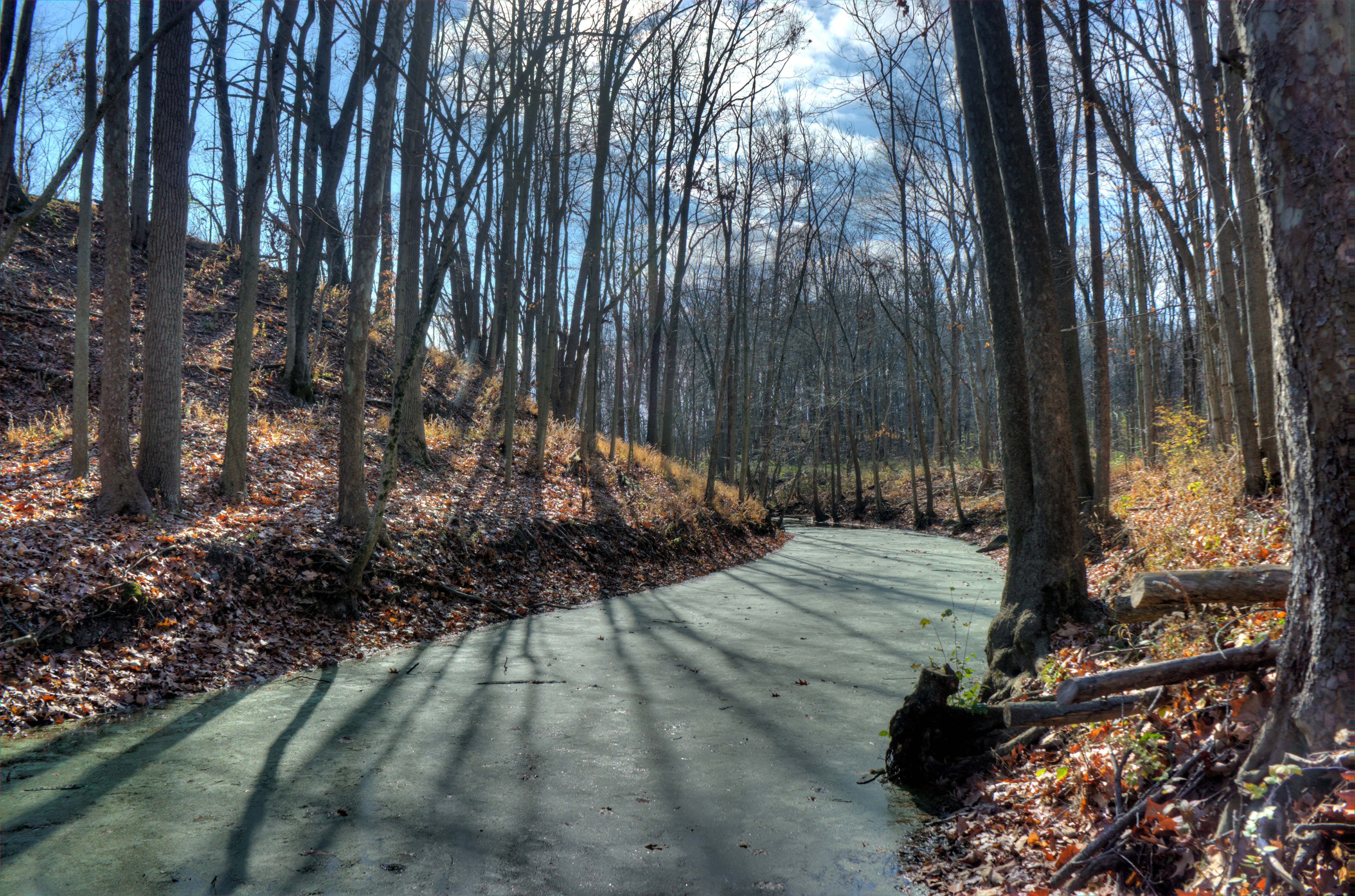
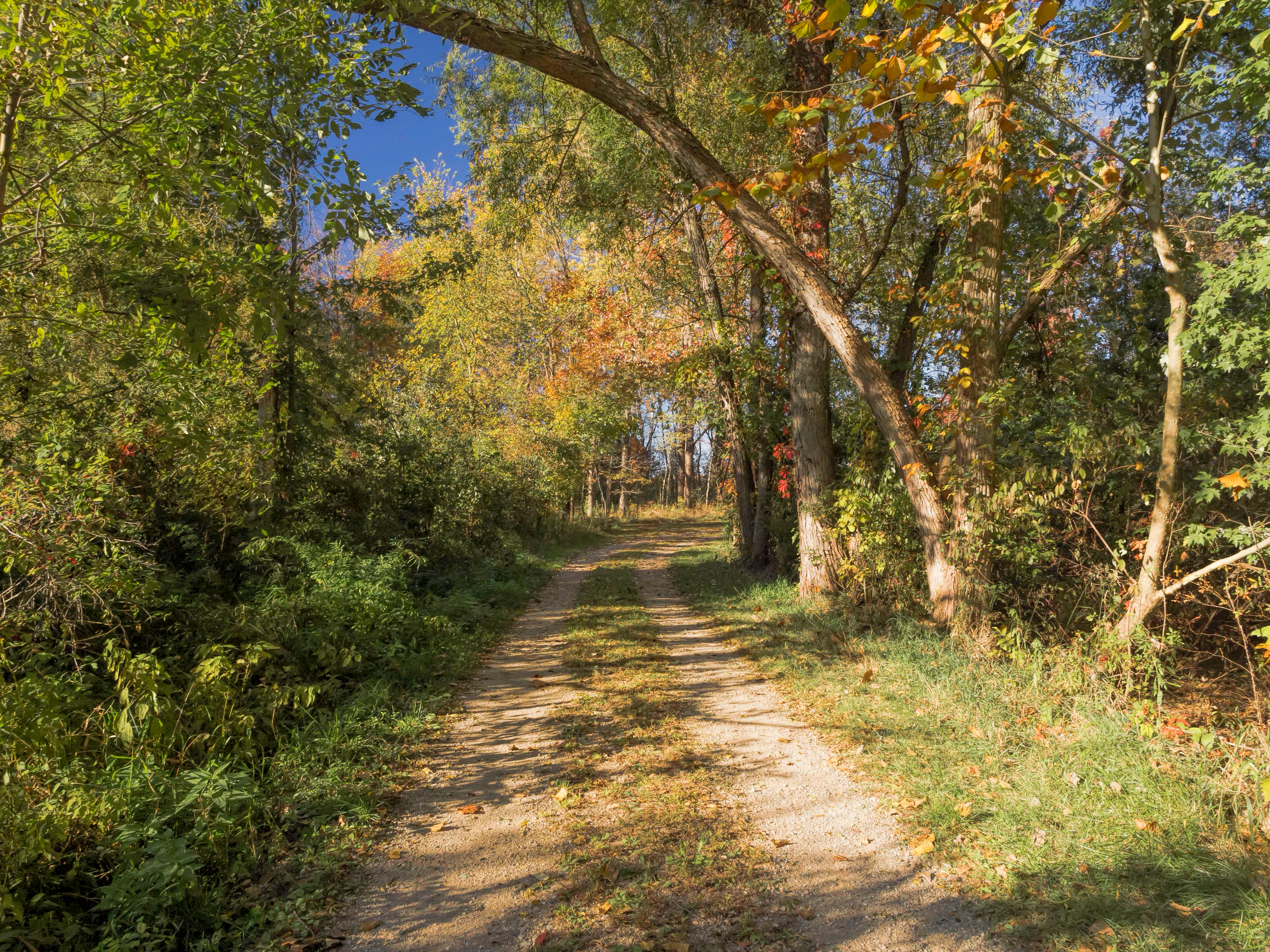
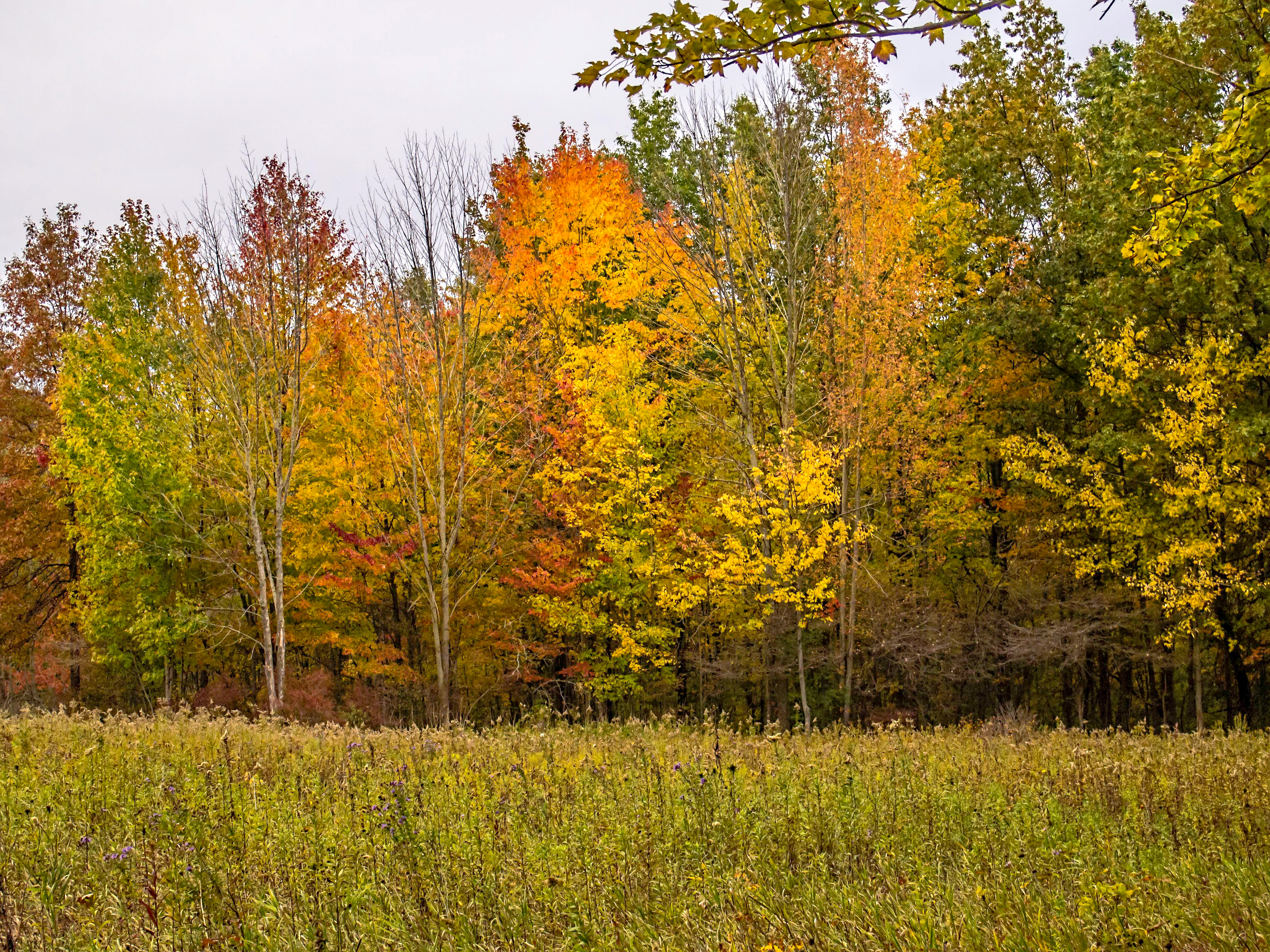
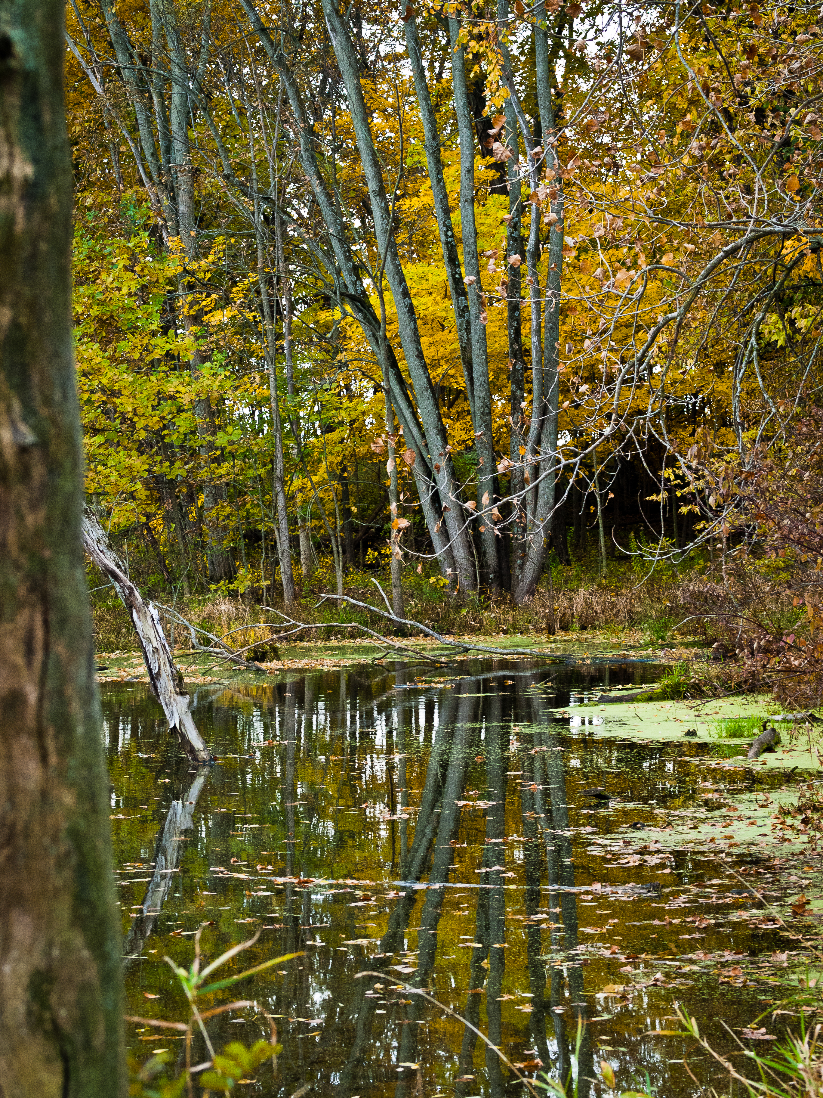
Related Photos:

The view from here.

Spring Repose
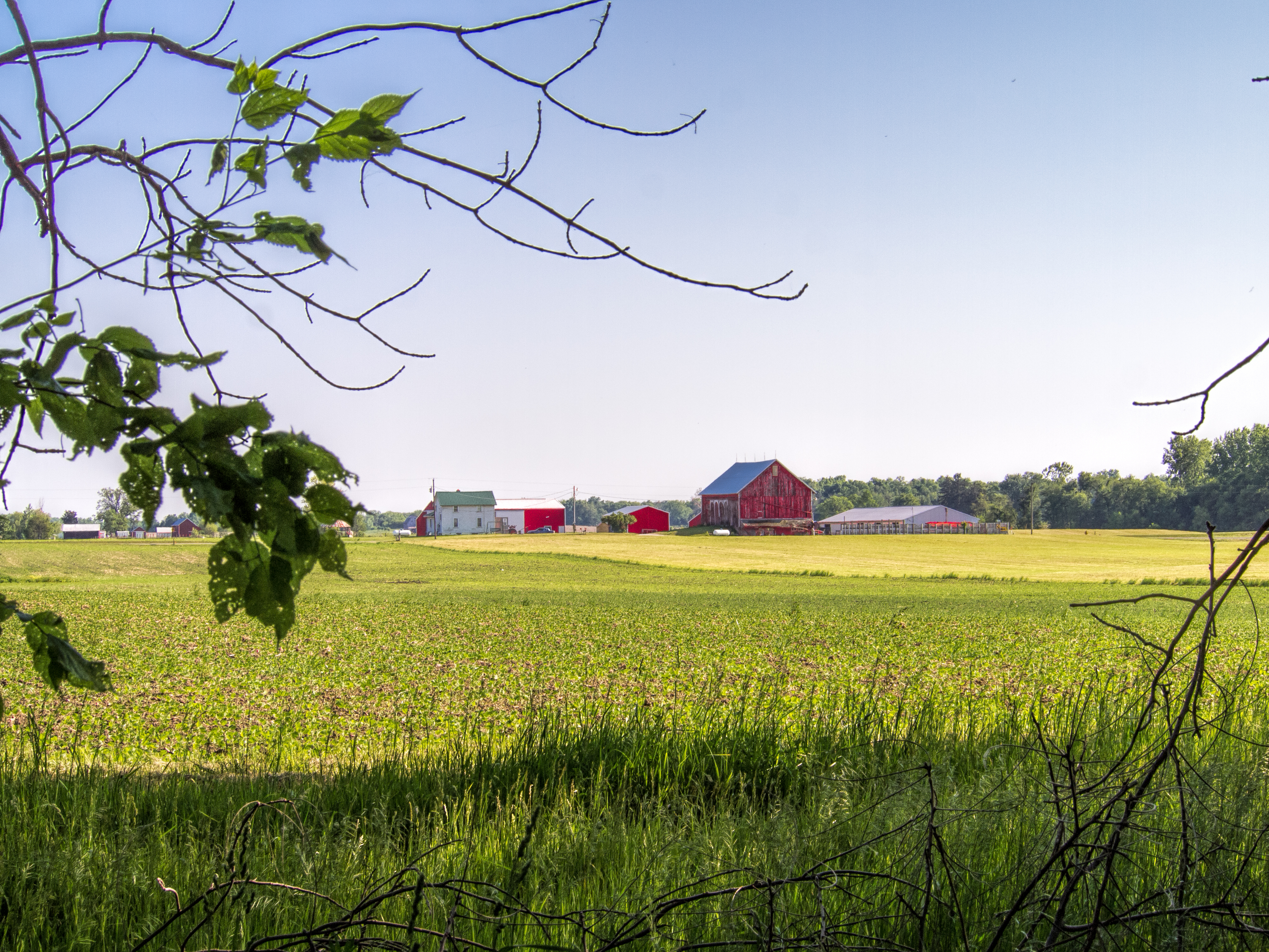
Indiana Farm at 5:38 pm

Dogs Eye View

Killer Lightning Bug
A golden view

Yellow on purple

School Desk
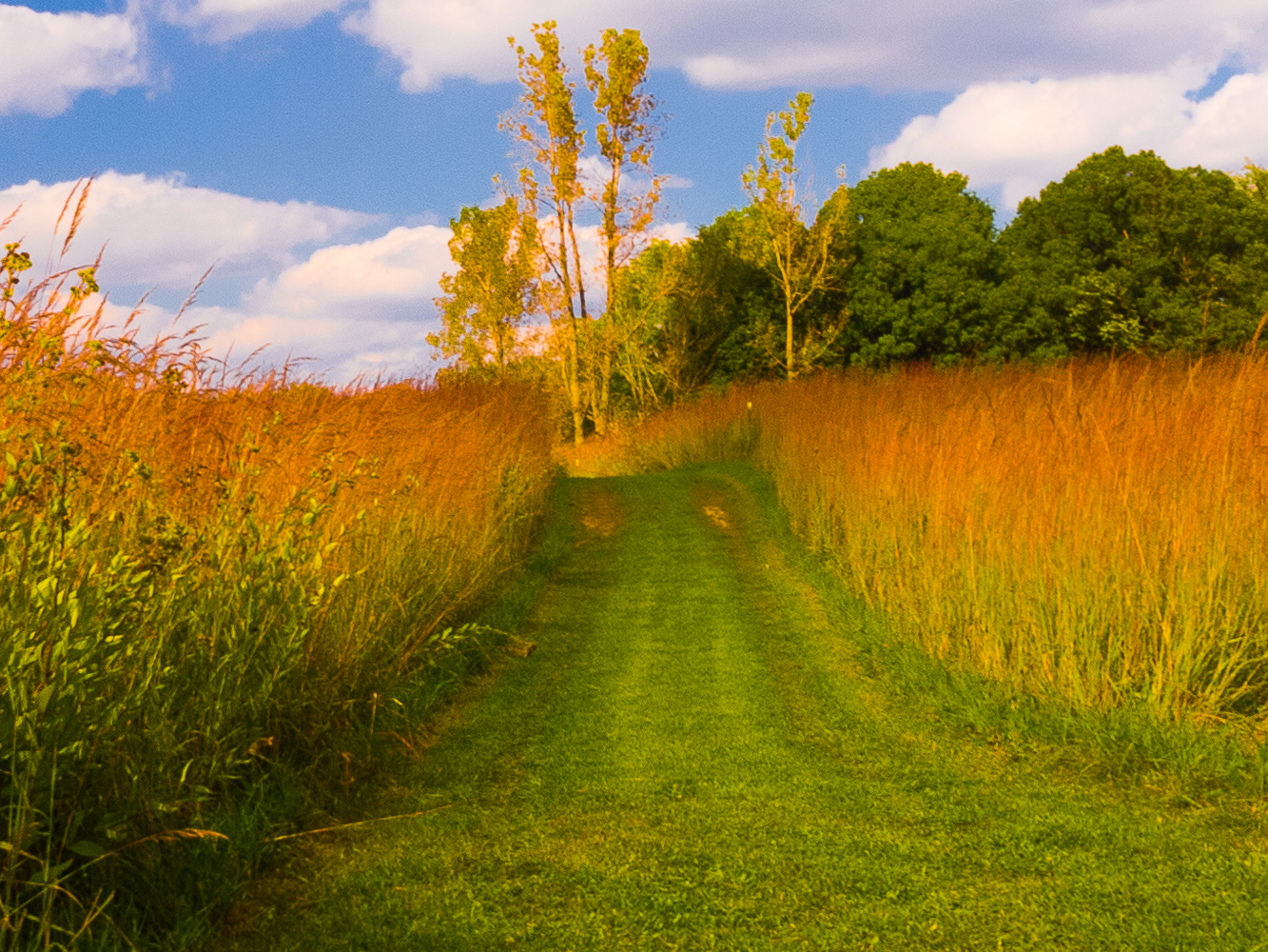
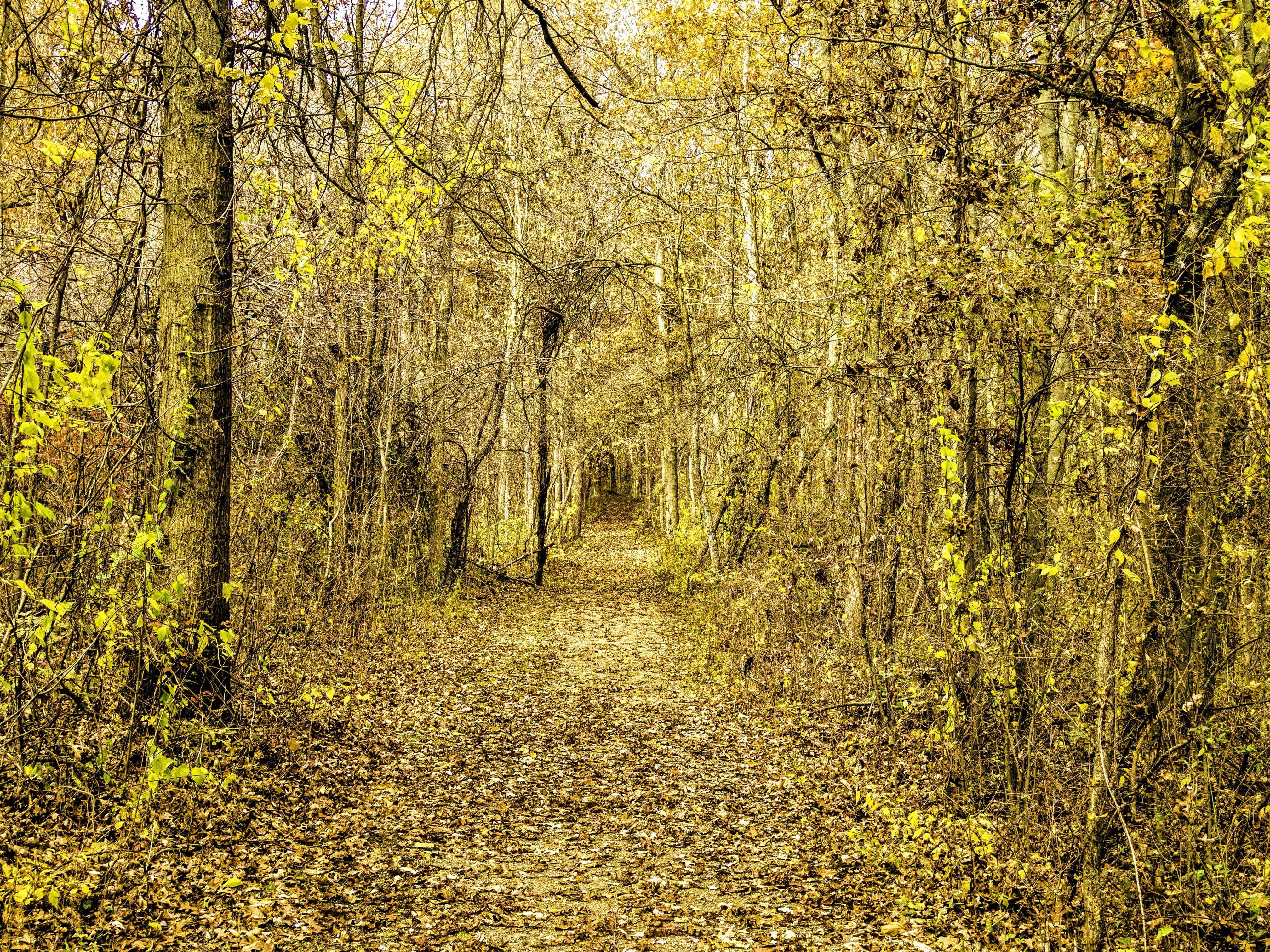
Golden Pathway

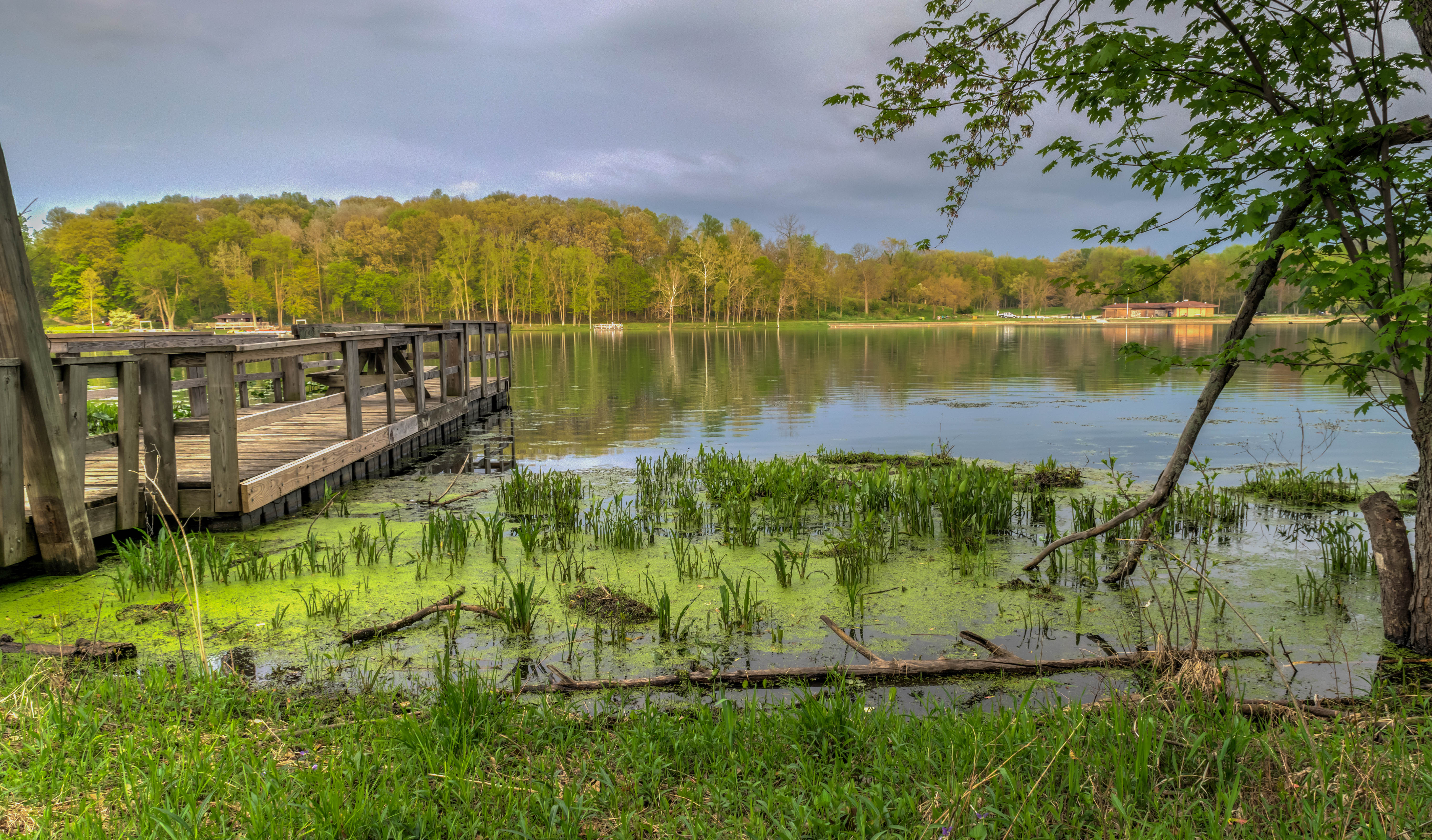
Kesling Wetland and Farmstead
The Other Side
Luckey's Lane of Merry Lea Center

Bear Lake Prairie on Trail K
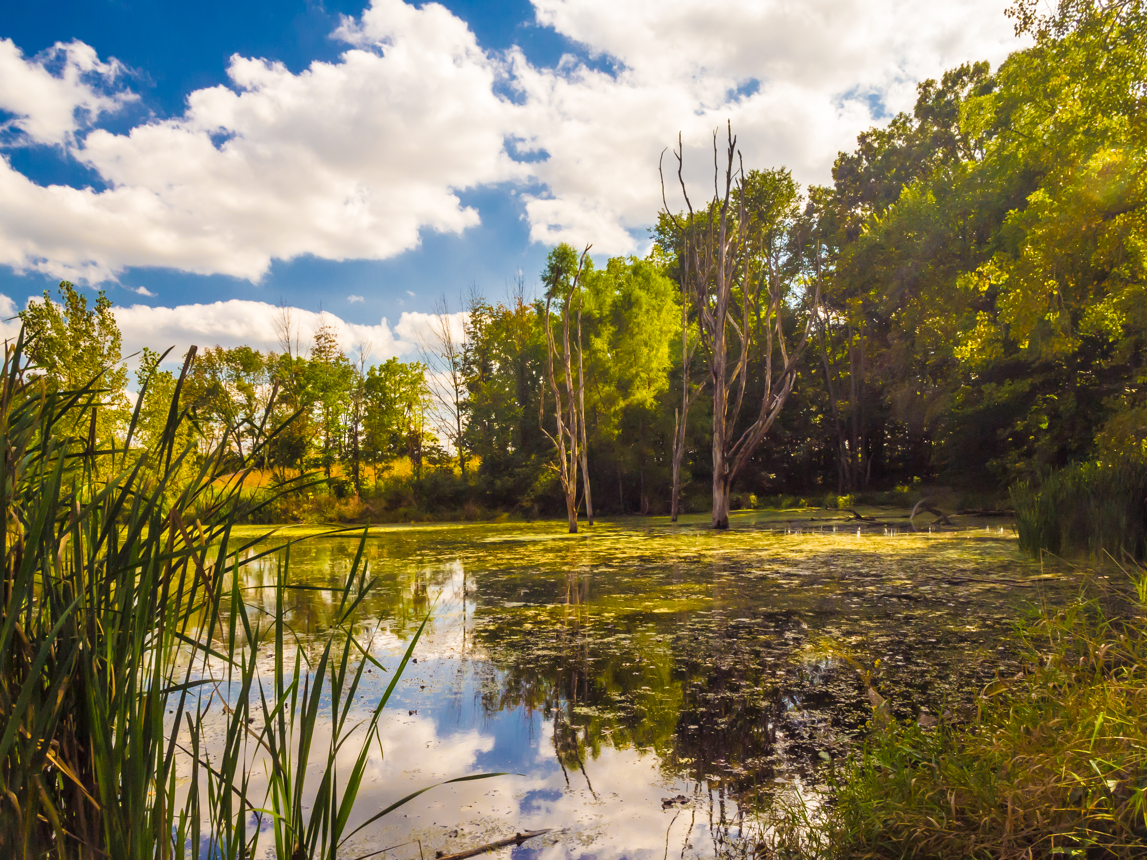
Kesling Wetland

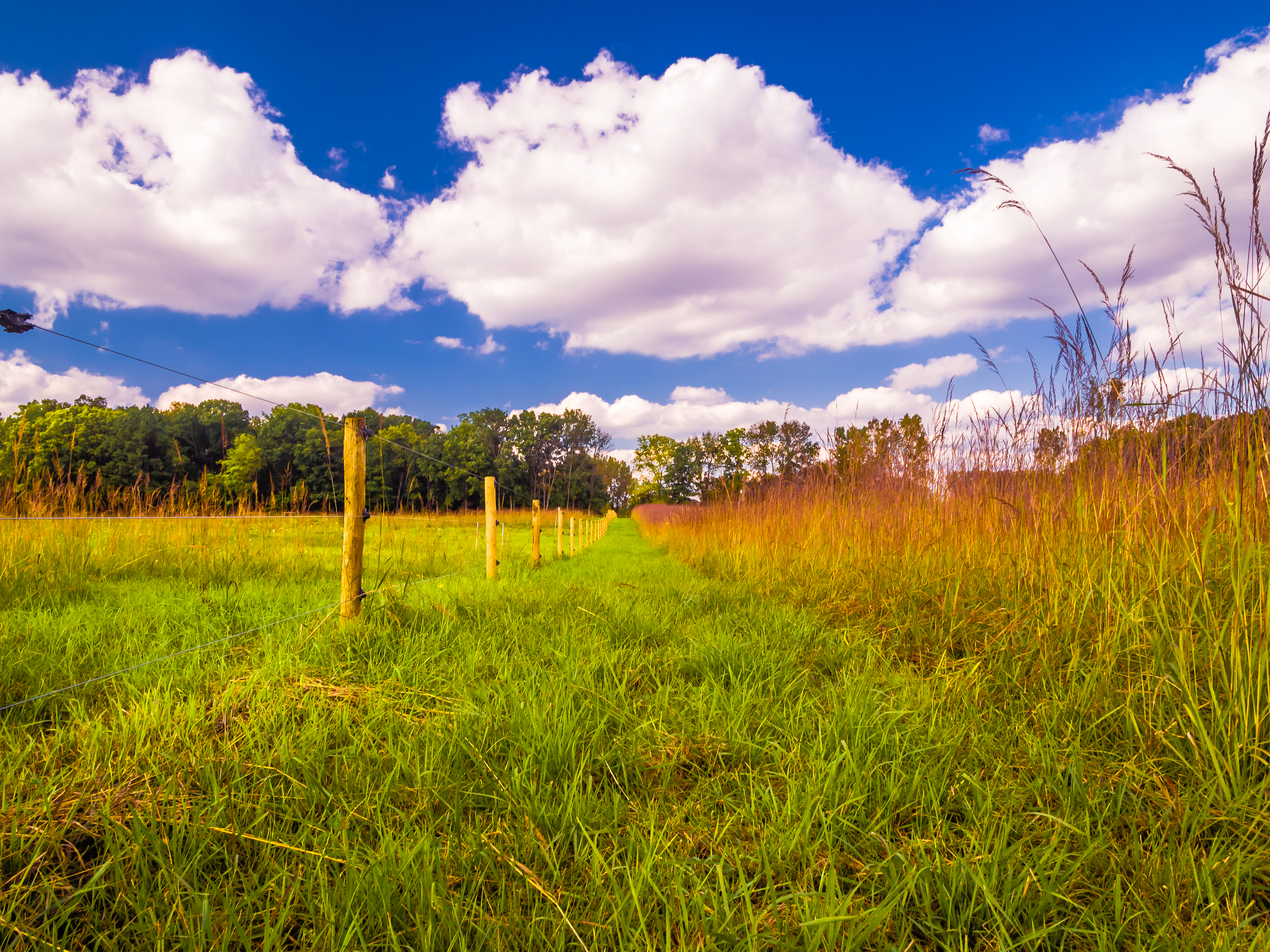
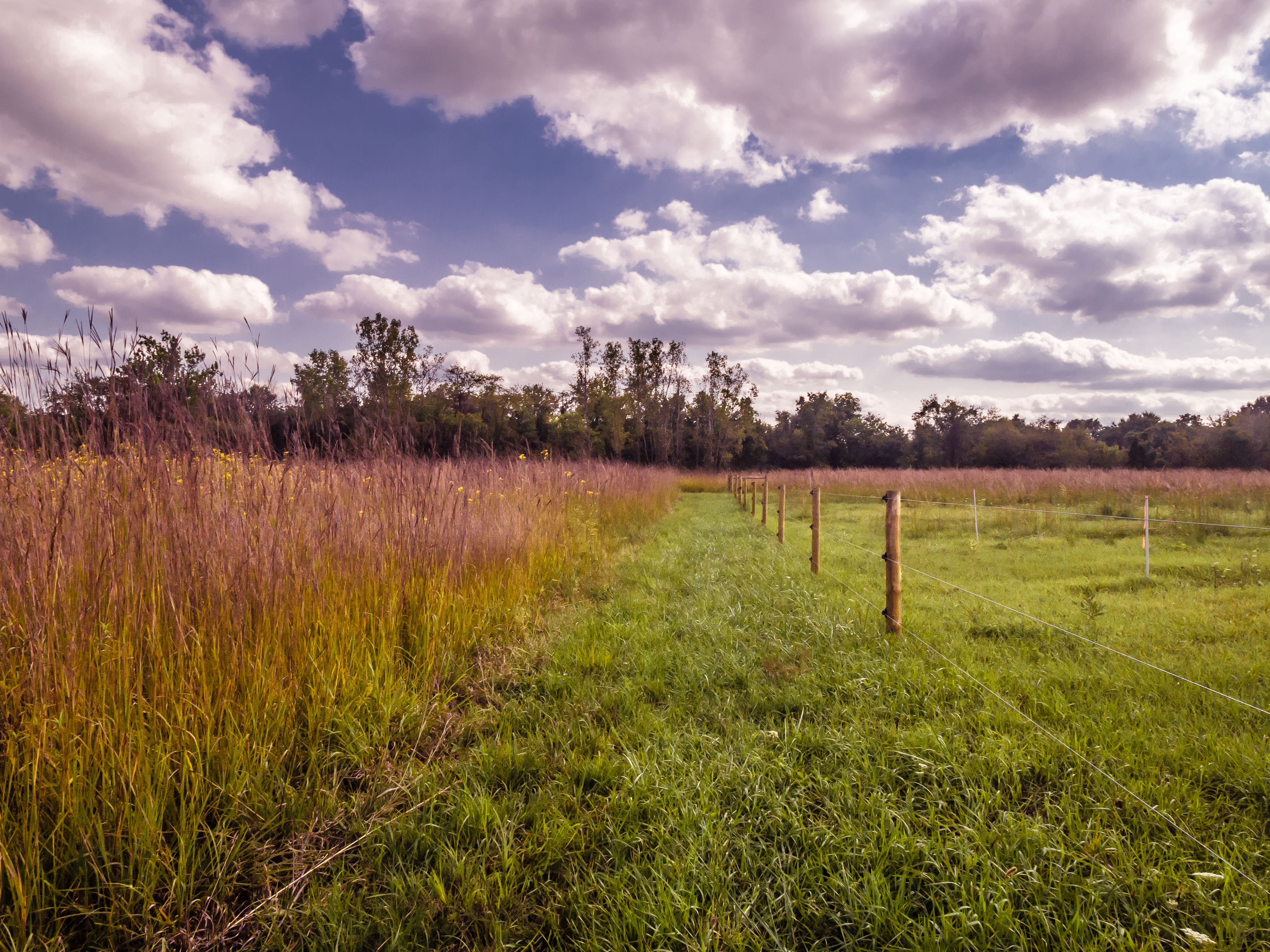
Fenced Meadow
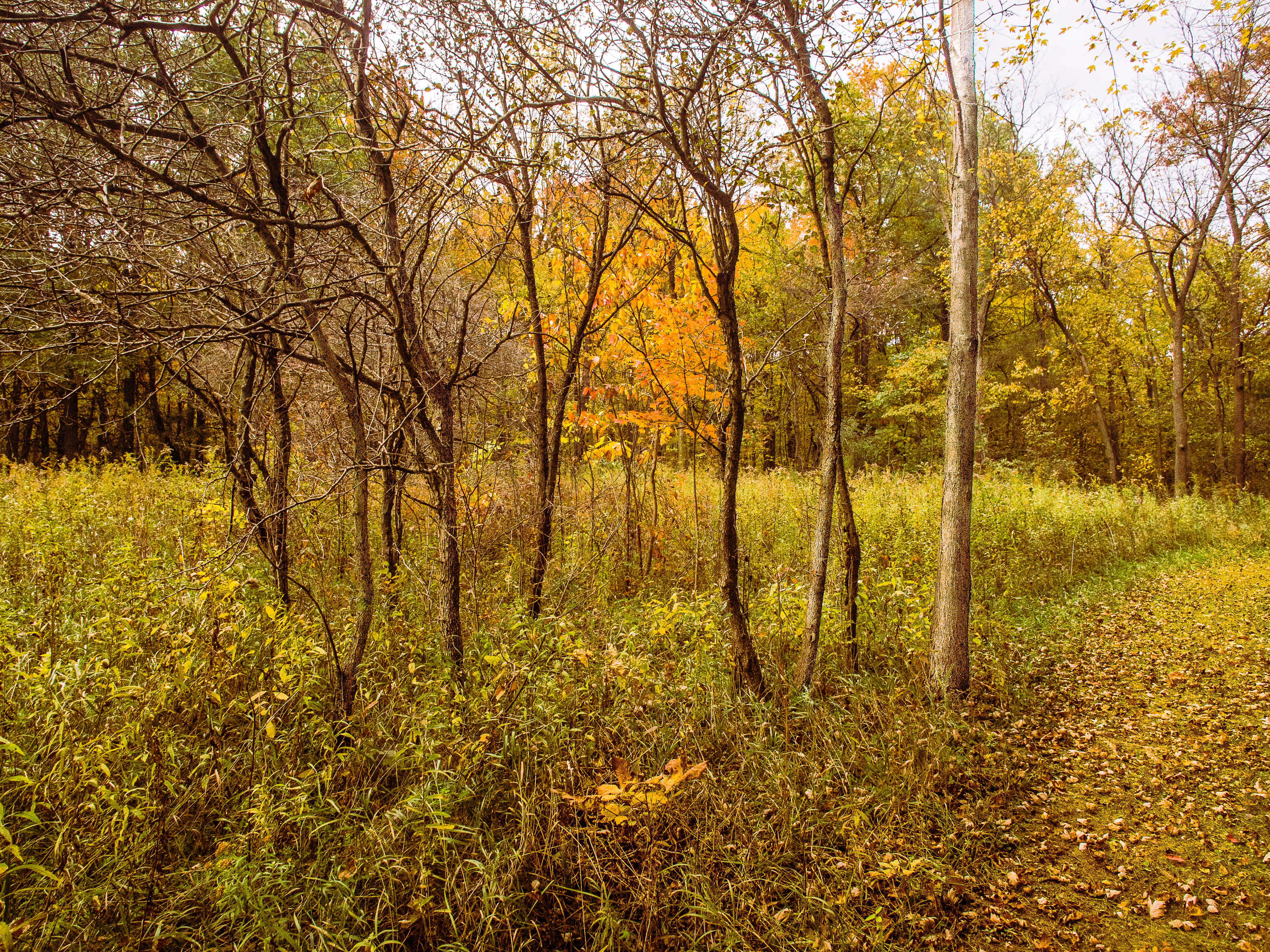
Leaves by the Hundreds Came
Prairie Grass

Afternoon Farm in Indiana

Merry Lea Farmstead
Chain O Lakes

Merry Lea Environmental Center Farmstead
Light, Shadow, Color in the Woods
Mary's Meadow and Forest
Reflecting...

Forest Path

Back to Kesling

Chain O Lakes SP, Indiana

#Chain #O' #Lakes #State #Park

In the Sun
Topographic Map of Green Township, IN, USA
Find elevation by address:

Places in Green Township, IN, USA:
Places near Green Township, IN, USA:
N Blue Lake Rd, Churubusco, IN, USA
Smith Township
Churubusco
15525 Mcduffee Rd
3435 Us-33
Wappes Rd, Churubusco, IN, USA
Carroll Rd, Churubusco, IN, USA
710 S Johnson Rd
Eel River Township
6026 W Greenwell Rd
Laotto
Hand Road
Carroll Ridge Dr, Fort Wayne, IN, USA
2206 Edgerton St
Huntertown
1220 Monte Carlo Dr
11530 Tillbury Cove
Perry Township
10924 La Cabreah Ln
Union Chapel Rd, Fort Wayne, IN, USA
Recent Searches:
- Elevation of Corso Fratelli Cairoli, 35, Macerata MC, Italy
- Elevation of Tallevast Rd, Sarasota, FL, USA
- Elevation of 4th St E, Sonoma, CA, USA
- Elevation of Black Hollow Rd, Pennsdale, PA, USA
- Elevation of Oakland Ave, Williamsport, PA, USA
- Elevation of Pedrógão Grande, Portugal
- Elevation of Klee Dr, Martinsburg, WV, USA
- Elevation of Via Roma, Pieranica CR, Italy
- Elevation of Tavkvetili Mountain, Georgia
- Elevation of Hartfords Bluff Cir, Mt Pleasant, SC, USA