Elevation of Gray St W, Comfrey, MN, USA
Location: United States > Minnesota > Brown County >
Longitude: -94.904977
Latitude: 44.1107841
Elevation: 344m / 1129feet
Barometric Pressure: 97KPa
Elevation Map:
Satellite Map:
Related Photos:

Another drive in liquor place

Windy Rural Sunset
Bison Track
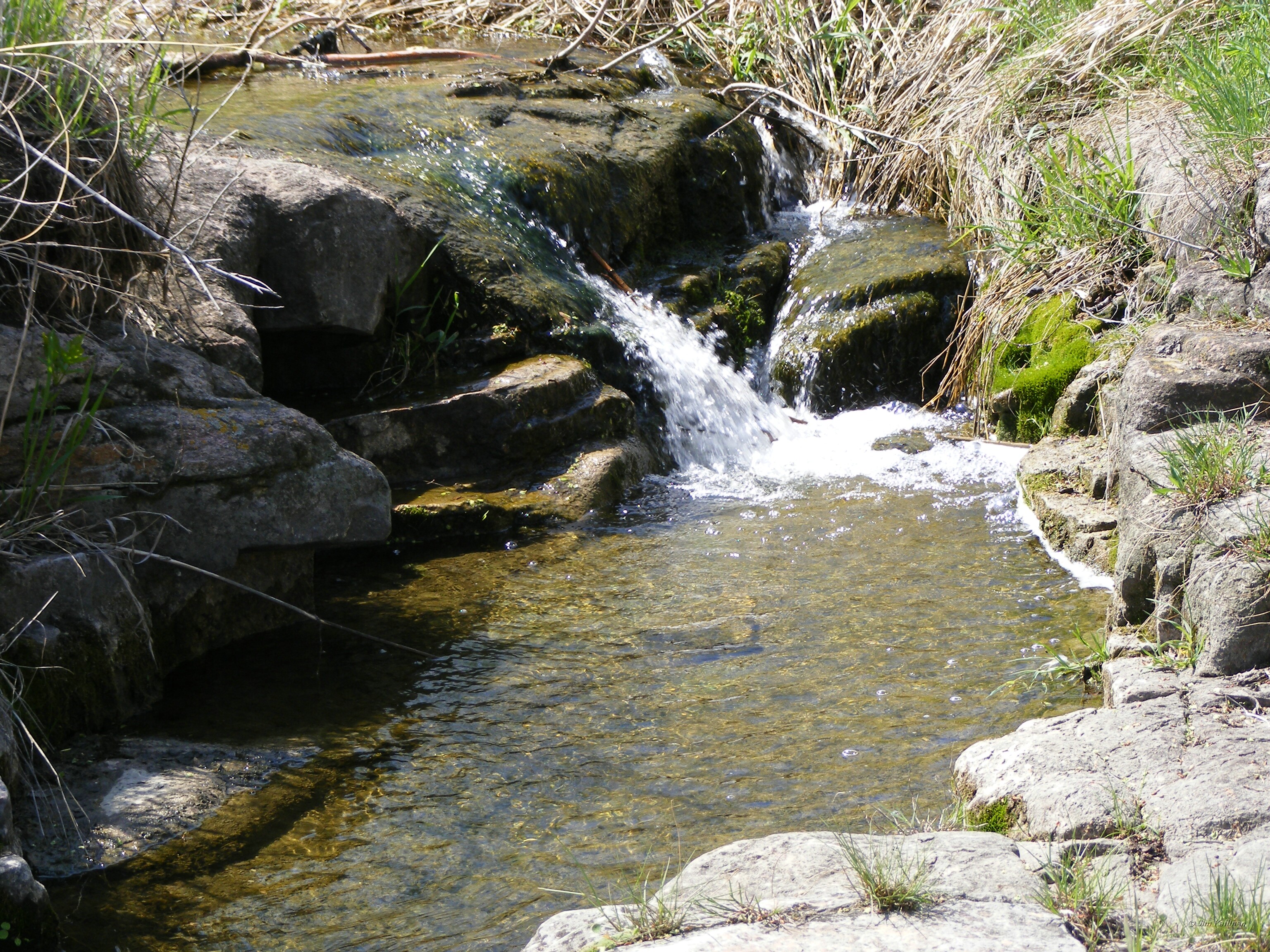
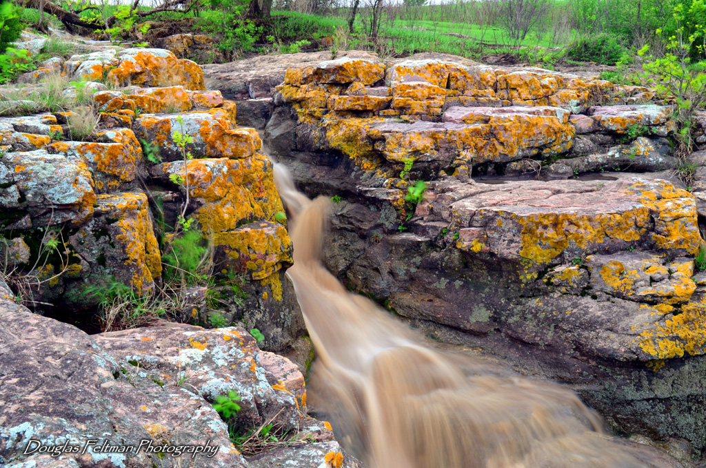
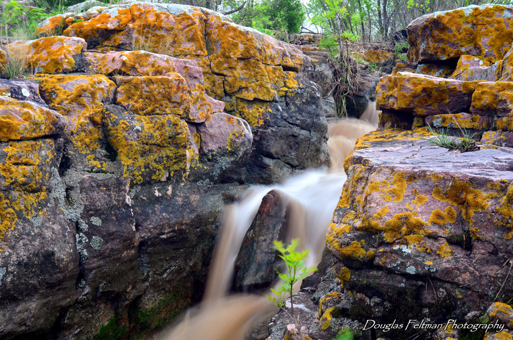
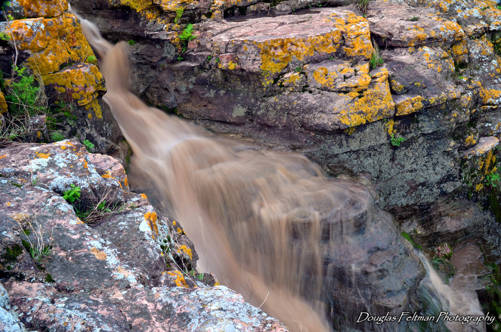
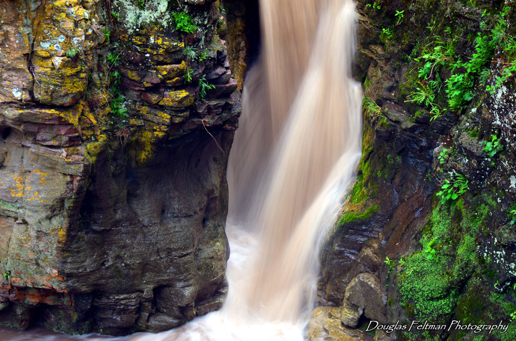
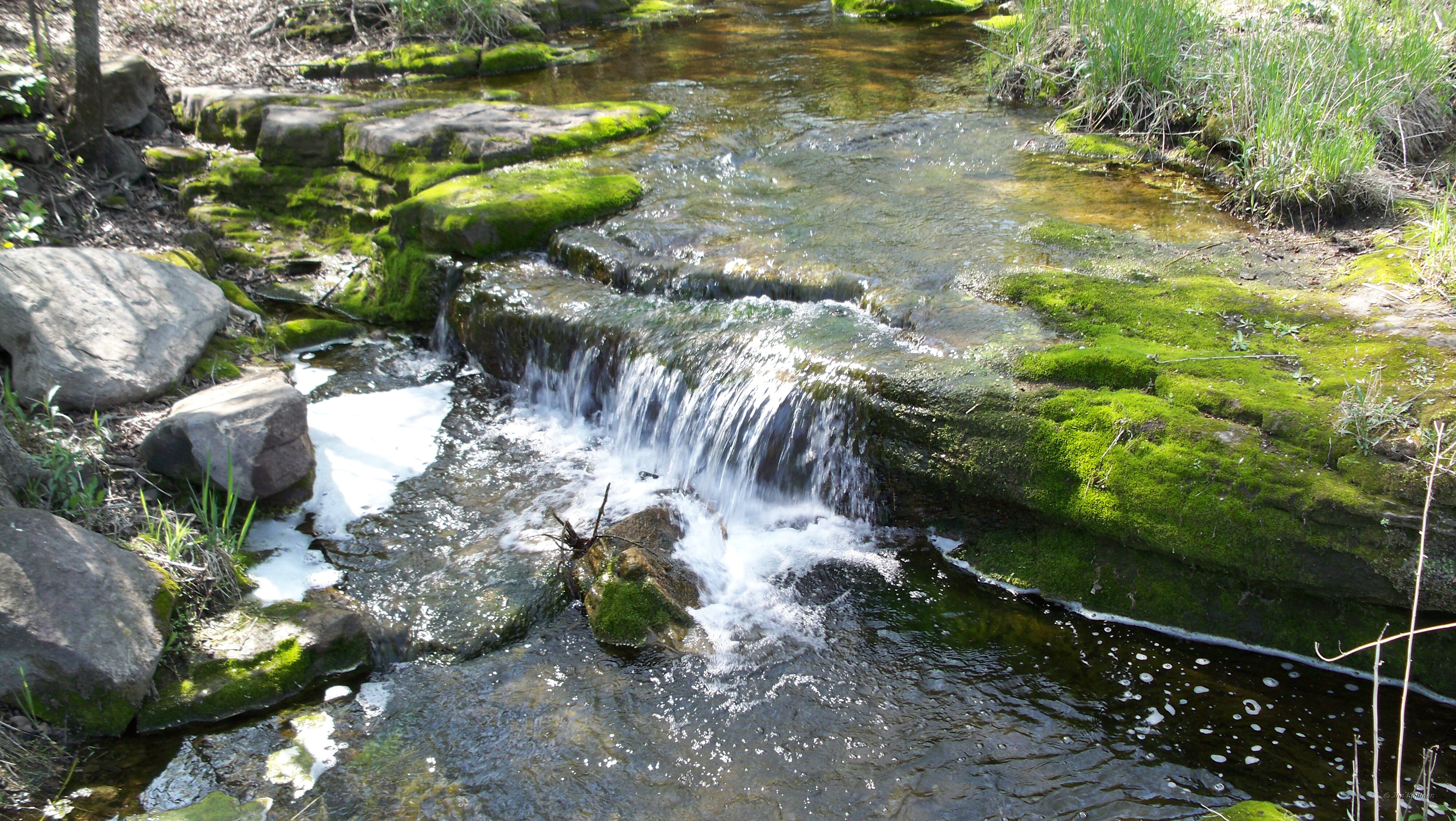
Mound Creek falls

Mound Creek falls
Mound Creek 003
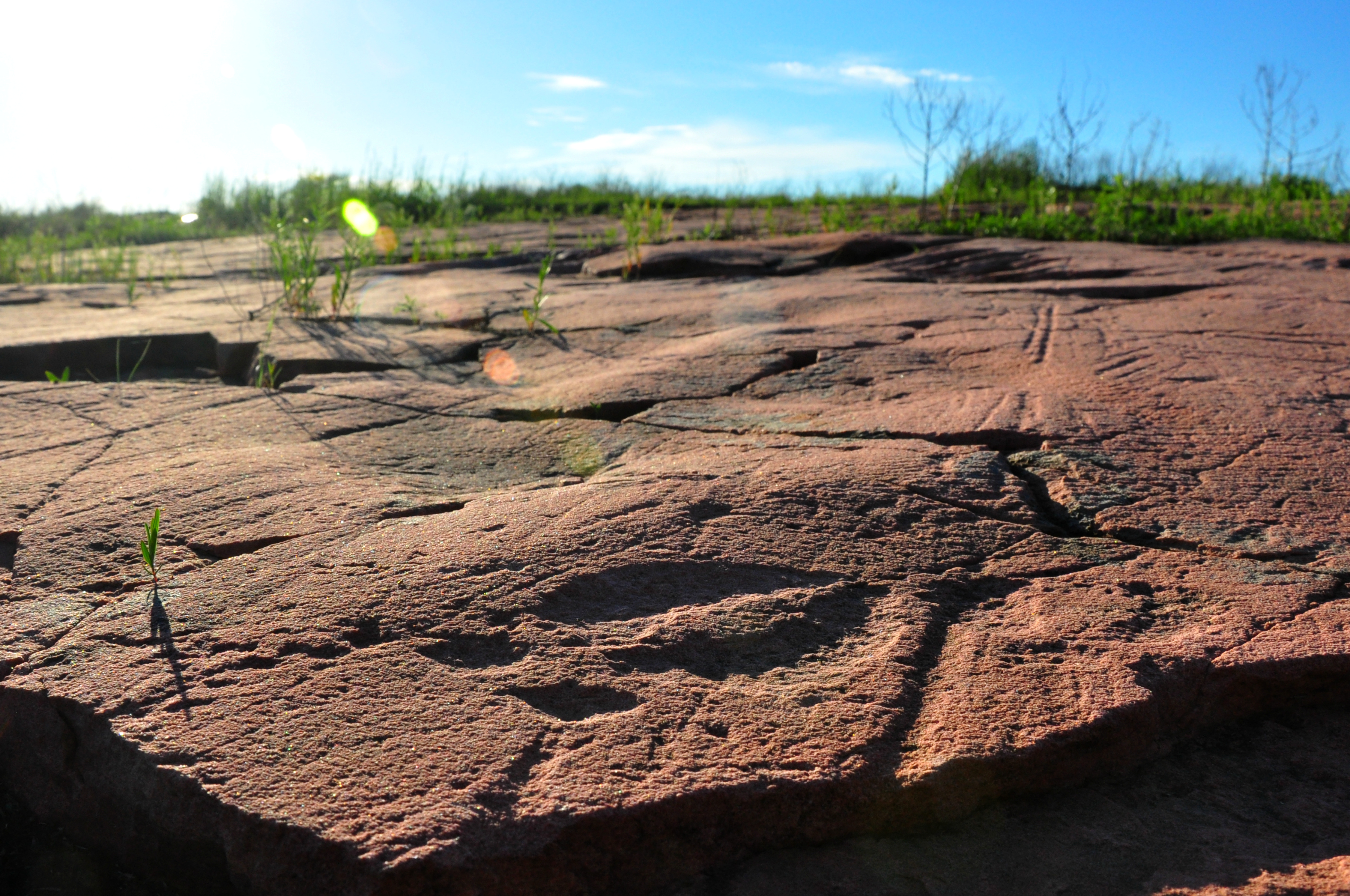
Jeffers Petroglyphs Historic Site
Mound Creek 004
Mound Creek falls
Mound Creek 006
Mound Creek 002
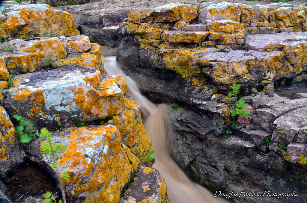
Red Rock Dells 004
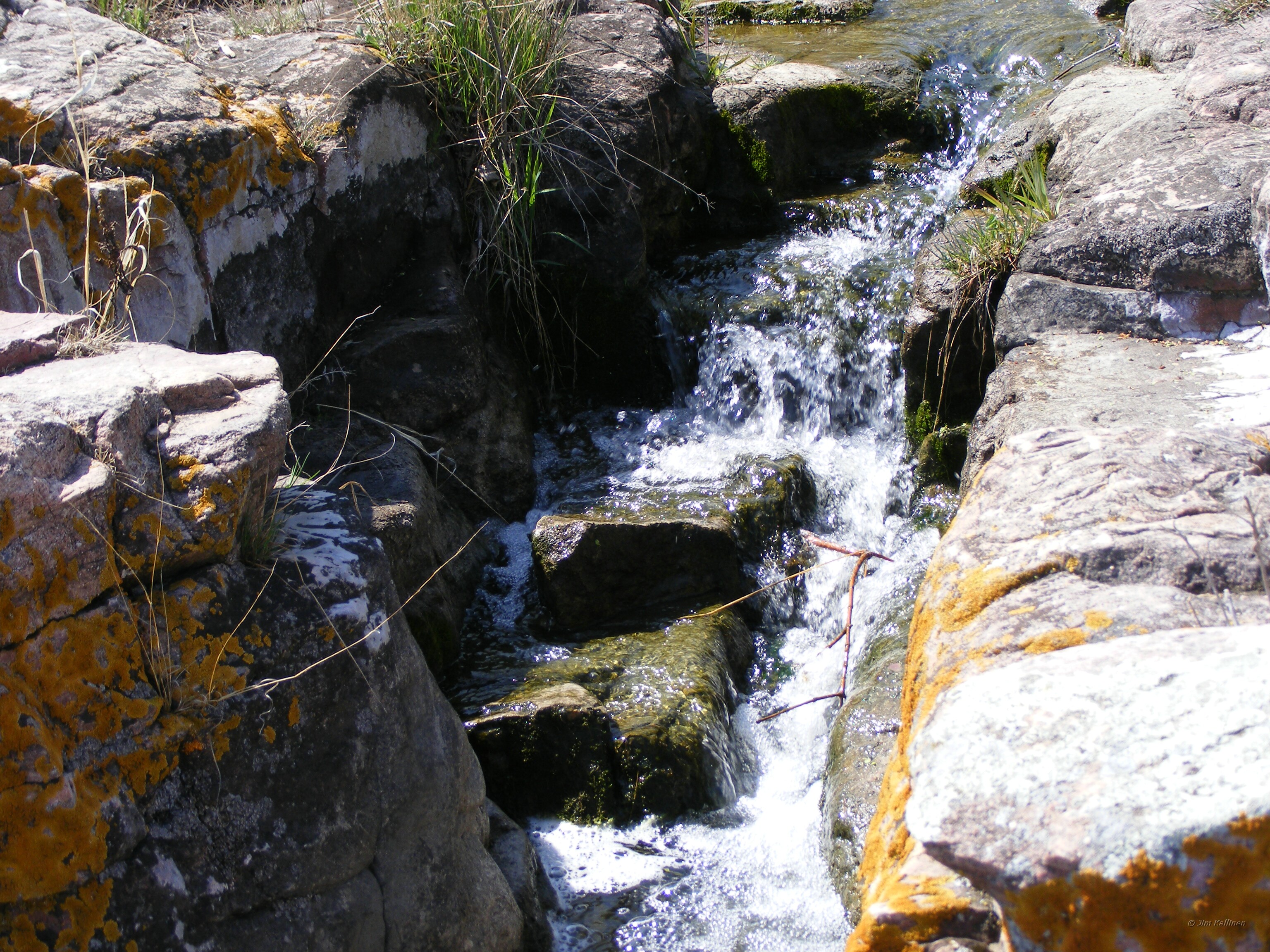
Mound Creek falls
Mound Creek 005
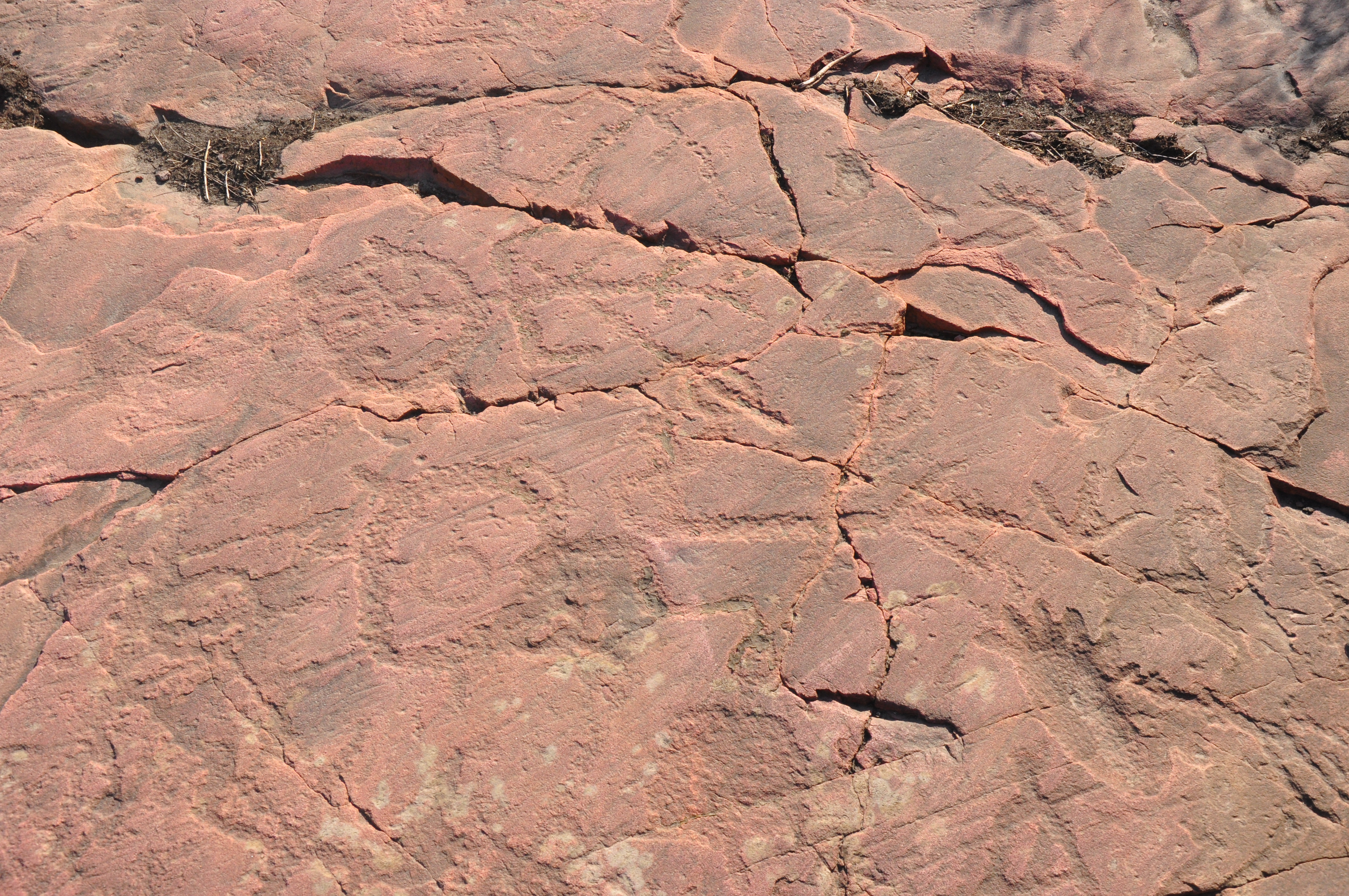
Stick Figures with Spear
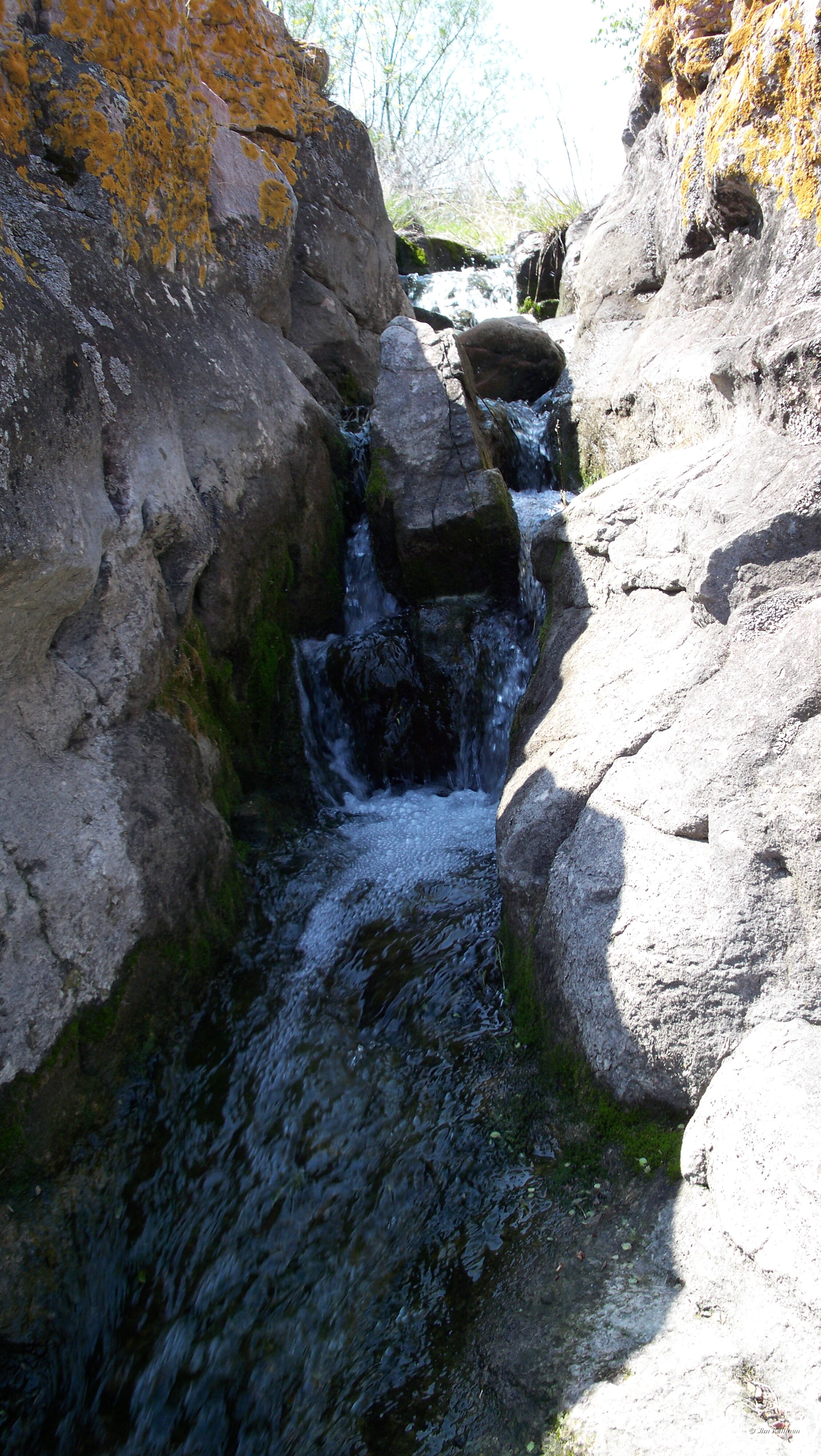
Mound Creek falls

Little Cottonwood River

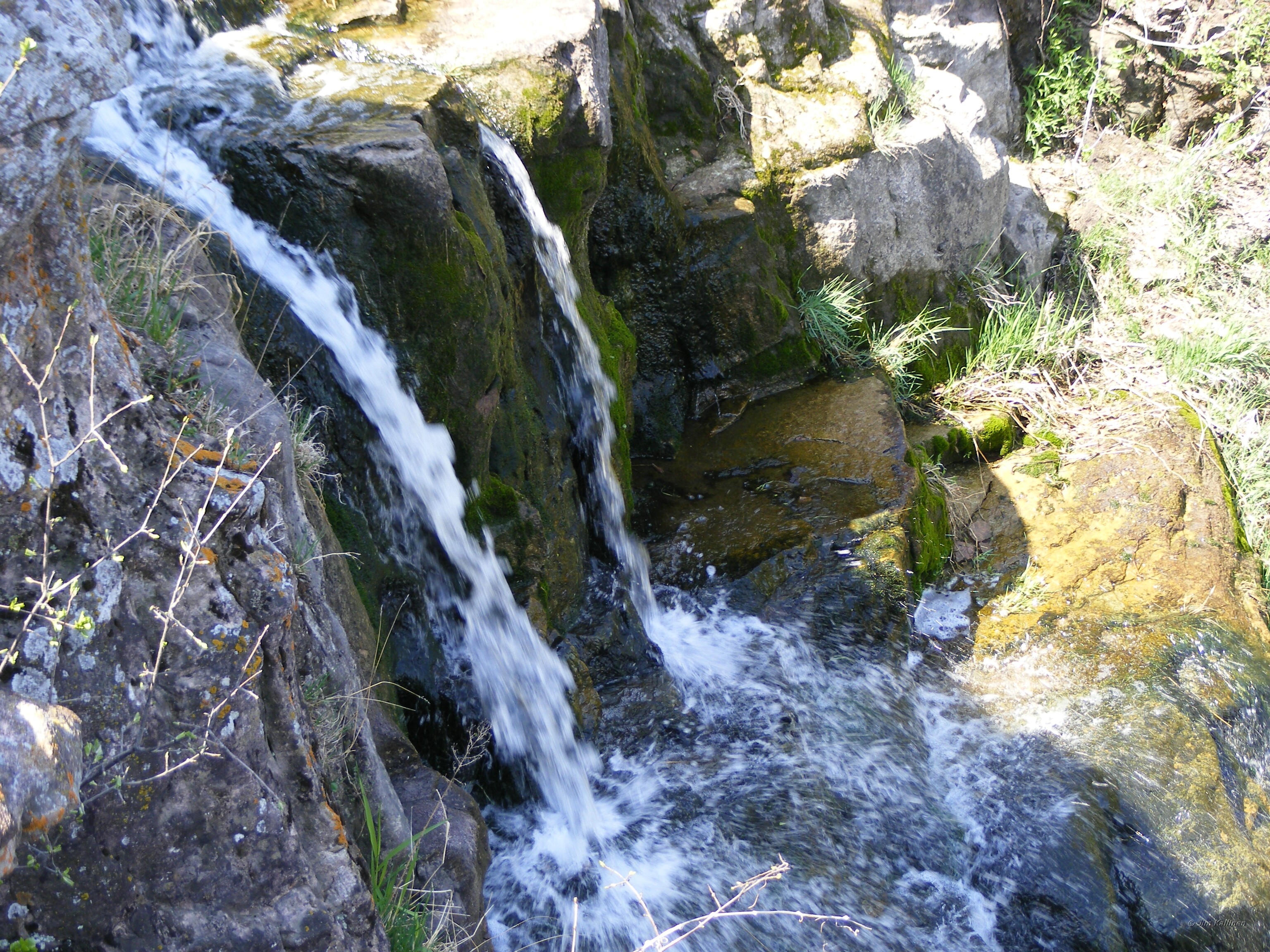
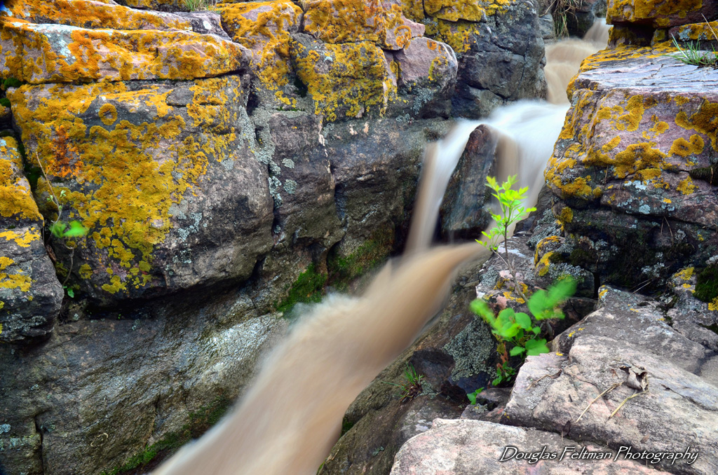
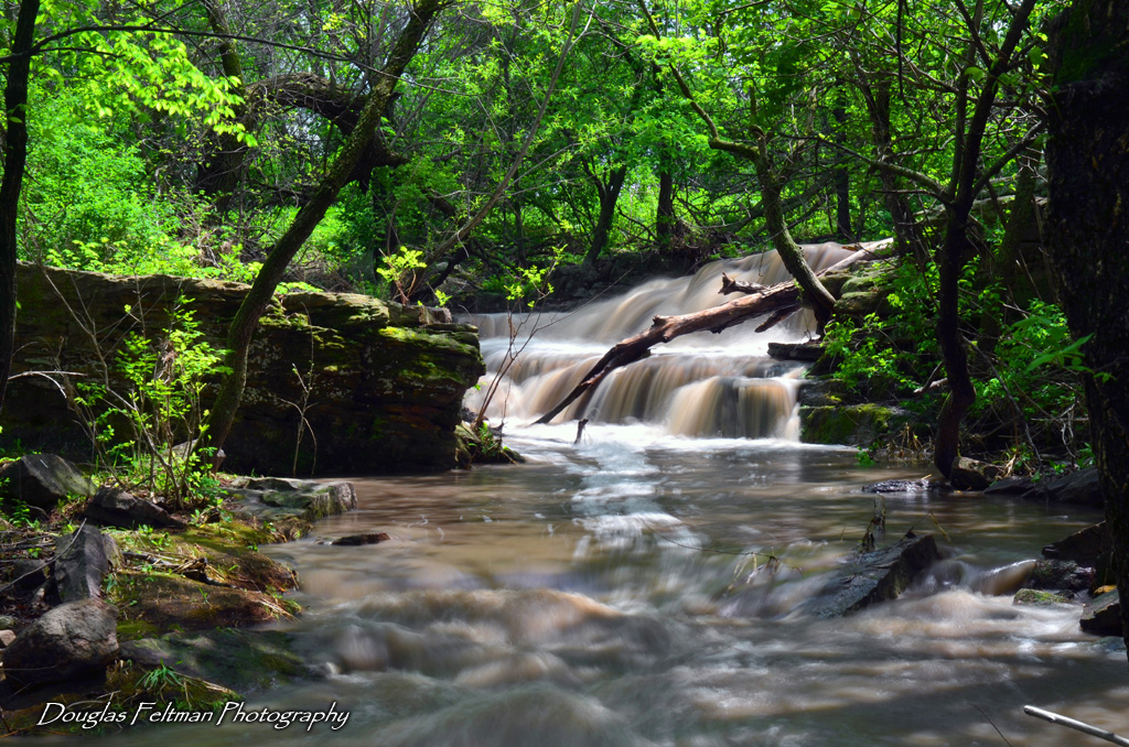
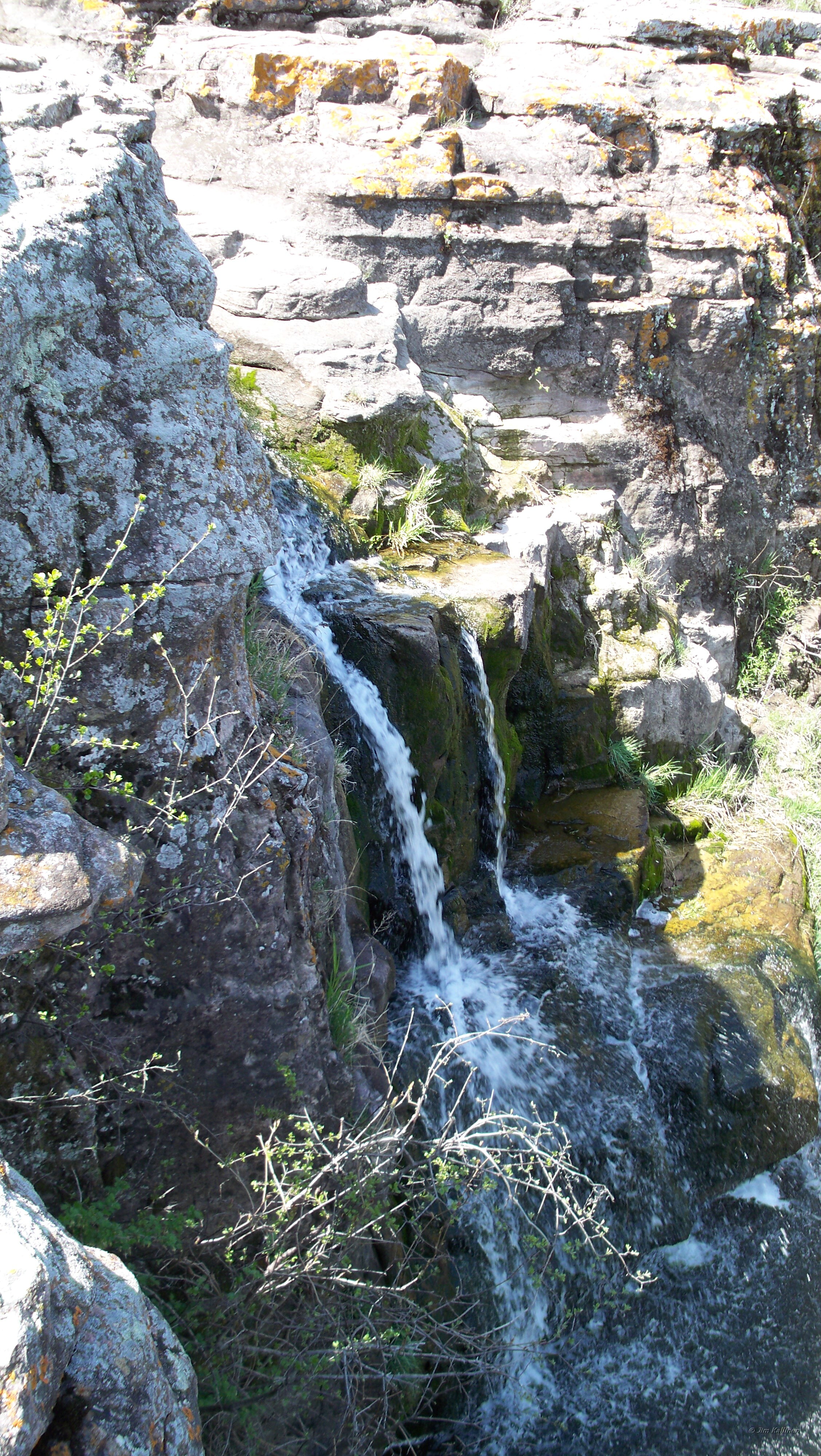
Red Rock Dells falls
Red Rock Dells 007

Mound Creek 001
Red Rock Dells falls
Mound Creek falls
Topographic Map of Gray St W, Comfrey, MN, USA
Find elevation by address:

Places near Gray St W, Comfrey, MN, USA:
Co Rd 24, Sleepy Eye, MN, USA
10th St N, Mountain Lake, MN, USA
Mountain Lake
Carson Township
680th Avenue
Co Rd 3, Windom, MN, USA
Co Rd 24, Sleepy Eye, MN, USA
Sanborn
Bingham Lake
2nd Ave, Bingham Lake, MN, USA
th St, Evan, MN, USA
12955 Us-71
Brown County
Odin
Jeffers
Tiell Dr, St James, MN, USA
224 6th Ave S
Saint James
Windom
1220 June Ct
Recent Searches:
- Elevation of Corso Fratelli Cairoli, 35, Macerata MC, Italy
- Elevation of Tallevast Rd, Sarasota, FL, USA
- Elevation of 4th St E, Sonoma, CA, USA
- Elevation of Black Hollow Rd, Pennsdale, PA, USA
- Elevation of Oakland Ave, Williamsport, PA, USA
- Elevation of Pedrógão Grande, Portugal
- Elevation of Klee Dr, Martinsburg, WV, USA
- Elevation of Via Roma, Pieranica CR, Italy
- Elevation of Tavkvetili Mountain, Georgia
- Elevation of Hartfords Bluff Cir, Mt Pleasant, SC, USA