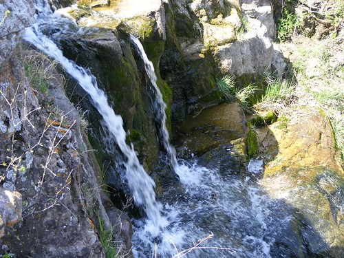
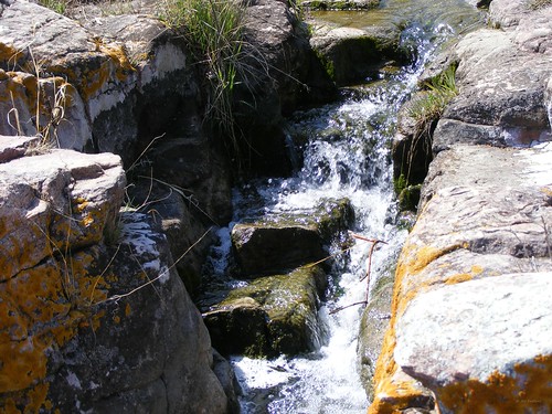
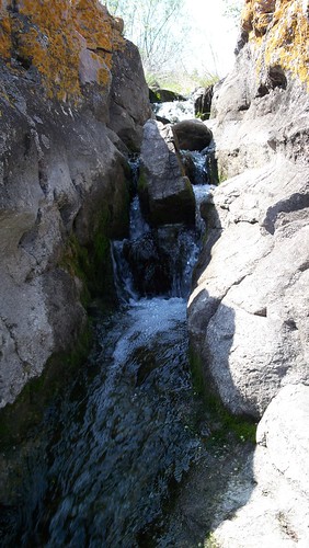
Elevation of Co Rd 3, Windom, MN, USA
Location: United States > Minnesota > Cottonwood County > Carson Township >
Longitude: -95.083156
Latitude: 43.984223
Elevation: 446m / 1463feet
Barometric Pressure: 96KPa
Related Photos:
Topographic Map of Co Rd 3, Windom, MN, USA
Find elevation by address:

Places near Co Rd 3, Windom, MN, USA:
Carson Township
2nd Ave, Bingham Lake, MN, USA
Bingham Lake
1220 June Ct
Windom
Jeffers
Mountain Lake
10th St N, Mountain Lake, MN, USA
Christiania Township
th St, Windom, MN, USA
Gray St W, Comfrey, MN, USA
Sanborn
Cottonwood County
2000 Sweden Ave
406 Paska St
12955 Us-71
560th Avenue
Lamberton
Exchange St, Okabena, MN, USA
Lamberton Township
Recent Searches:
- Elevation of Corso Fratelli Cairoli, 35, Macerata MC, Italy
- Elevation of Tallevast Rd, Sarasota, FL, USA
- Elevation of 4th St E, Sonoma, CA, USA
- Elevation of Black Hollow Rd, Pennsdale, PA, USA
- Elevation of Oakland Ave, Williamsport, PA, USA
- Elevation of Pedrógão Grande, Portugal
- Elevation of Klee Dr, Martinsburg, WV, USA
- Elevation of Via Roma, Pieranica CR, Italy
- Elevation of Tavkvetili Mountain, Georgia
- Elevation of Hartfords Bluff Cir, Mt Pleasant, SC, USA
