Elevation of Grape Creek, TX, USA
Location: United States > Texas > Tom Green County >
Longitude: -100.54315
Latitude: 31.5898783
Elevation: 611m / 2005feet
Barometric Pressure: 94KPa
Elevation Map:
Satellite Map:
Related Photos:
la nochecita viene

Chicken Farm Art Center
Woman Playing Disc Golf @ Brentwood

Chevrolet and Tractor

IMG_0688.jpg

Sunset Tree
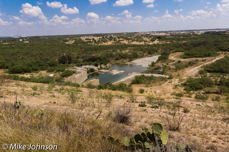
OC FISHER_1097

30 megaton airburst SDIM3939
IMG_0707.jpg
IMG_0722.jpg
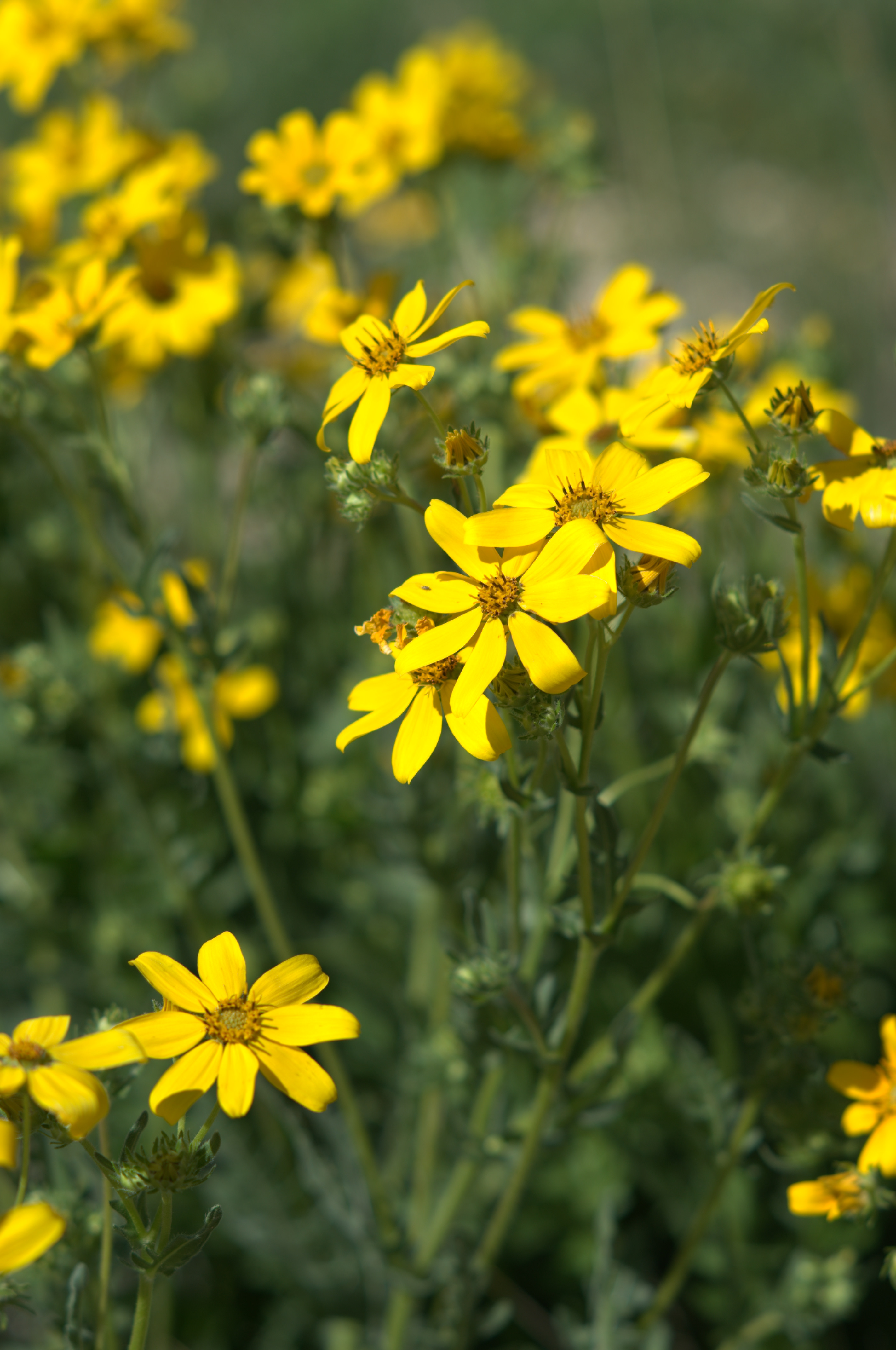
Spring Flowers

San Angelo Sunset
On the Trails at San Angelo State Park

San Angelo Sunrise
San Angelo State Park
Topographic Map of Grape Creek, TX, USA
Find elevation by address:

Places near Grape Creek, TX, USA:
Cottontail Ln, San Angelo, TX, USA
Grape Creek Rd, San Angelo, TX, USA
7945 Grape Creek Rd
5331 Pacific Rd
Carlsbad
8269 Runion Rd
302 E 26th St
114 E 23rd St
Townview Lane
W 17th St, San Angelo, TX, USA
West 16th Street
17 W 17th St
Abilene Street
2516 Abilene St
2516 Abilene St
2516 Abilene St
2437 Houston St
214 N Adams St
U.s. 67 Business
4010 Sherwood Way
Recent Searches:
- Elevation of Corso Fratelli Cairoli, 35, Macerata MC, Italy
- Elevation of Tallevast Rd, Sarasota, FL, USA
- Elevation of 4th St E, Sonoma, CA, USA
- Elevation of Black Hollow Rd, Pennsdale, PA, USA
- Elevation of Oakland Ave, Williamsport, PA, USA
- Elevation of Pedrógão Grande, Portugal
- Elevation of Klee Dr, Martinsburg, WV, USA
- Elevation of Via Roma, Pieranica CR, Italy
- Elevation of Tavkvetili Mountain, Georgia
- Elevation of Hartfords Bluff Cir, Mt Pleasant, SC, USA