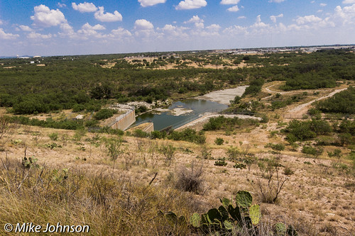
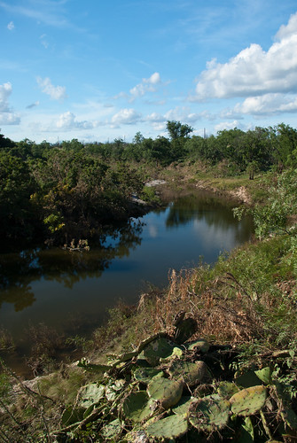
Elevation of Cottontail Ln, San Angelo, TX, USA
Location: United States > Texas > Tom Green County > San Angelo >
Longitude: -100.54294
Latitude: 31.590159
Elevation: 613m / 2011feet
Barometric Pressure: 94KPa
Related Photos:
Topographic Map of Cottontail Ln, San Angelo, TX, USA
Find elevation by address:

Places near Cottontail Ln, San Angelo, TX, USA:
Grape Creek
Grape Creek Rd, San Angelo, TX, USA
7945 Grape Creek Rd
5331 Pacific Rd
Carlsbad
8269 Runion Rd
302 E 26th St
114 E 23rd St
Townview Lane
W 17th St, San Angelo, TX, USA
West 16th Street
17 W 17th St
Abilene Street
2516 Abilene St
2516 Abilene St
2516 Abilene St
2437 Houston St
214 N Adams St
U.s. 67 Business
4010 Sherwood Way
Recent Searches:
- Elevation of Corso Fratelli Cairoli, 35, Macerata MC, Italy
- Elevation of Tallevast Rd, Sarasota, FL, USA
- Elevation of 4th St E, Sonoma, CA, USA
- Elevation of Black Hollow Rd, Pennsdale, PA, USA
- Elevation of Oakland Ave, Williamsport, PA, USA
- Elevation of Pedrógão Grande, Portugal
- Elevation of Klee Dr, Martinsburg, WV, USA
- Elevation of Via Roma, Pieranica CR, Italy
- Elevation of Tavkvetili Mountain, Georgia
- Elevation of Hartfords Bluff Cir, Mt Pleasant, SC, USA
