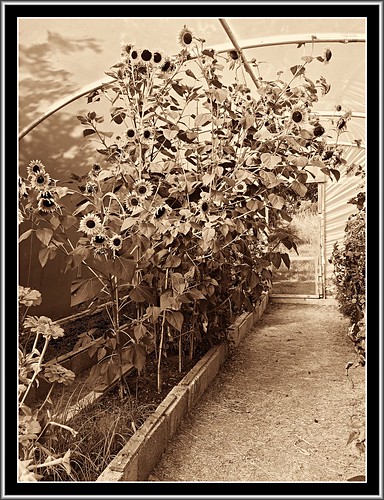
Elevation of Grange, Fethard, Co. Wexford, Ireland
Location: Ireland > Wexford >
Longitude: -6.8402183
Latitude: 52.1923021
Elevation: 14m / 46feet
Barometric Pressure: 101KPa
Related Photos:
Topographic Map of Grange, Fethard, Co. Wexford, Ireland
Find elevation by address:

Places near Grange, Fethard, Co. Wexford, Ireland:
Ballycullane
Somer's Way
Somer's Way
Clongeen
13 Oldtown Ct
Foulksmills
Newbawn
Dunmore East
3, Ballyverroge, Co. Wexford, Ireland
13 Hillview
Ballinaboola
Ballyverroge
Ballynabola
New Ross
12, Rosbercon, New Ross, Co. Kilkenny, Y34 RH59, Ireland
Rosbercon
Macmurroughsisland
Macmurrough Island
1, Kilmannan, Cleristown, Co. Wexford, Ireland
Ballindoney
Recent Searches:
- Elevation of Corso Fratelli Cairoli, 35, Macerata MC, Italy
- Elevation of Tallevast Rd, Sarasota, FL, USA
- Elevation of 4th St E, Sonoma, CA, USA
- Elevation of Black Hollow Rd, Pennsdale, PA, USA
- Elevation of Oakland Ave, Williamsport, PA, USA
- Elevation of Pedrógão Grande, Portugal
- Elevation of Klee Dr, Martinsburg, WV, USA
- Elevation of Via Roma, Pieranica CR, Italy
- Elevation of Tavkvetili Mountain, Georgia
- Elevation of Hartfords Bluff Cir, Mt Pleasant, SC, USA


