Elevation of Grainfield, KS, USA
Location: United States > Kansas > Gove County >
Longitude: -100.4651386
Latitude: 39.1136186
Elevation: 856m / 2808feet
Barometric Pressure: 0KPa
Related Photos:
Camera Roll-746
Camera Roll-747
"Kansas Big Sky" #kansas #blue #sky #iphoneography #iphone6s
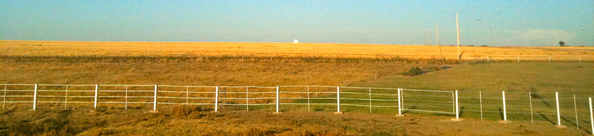
Pasture and Wheat Stubble

Park, Kansas
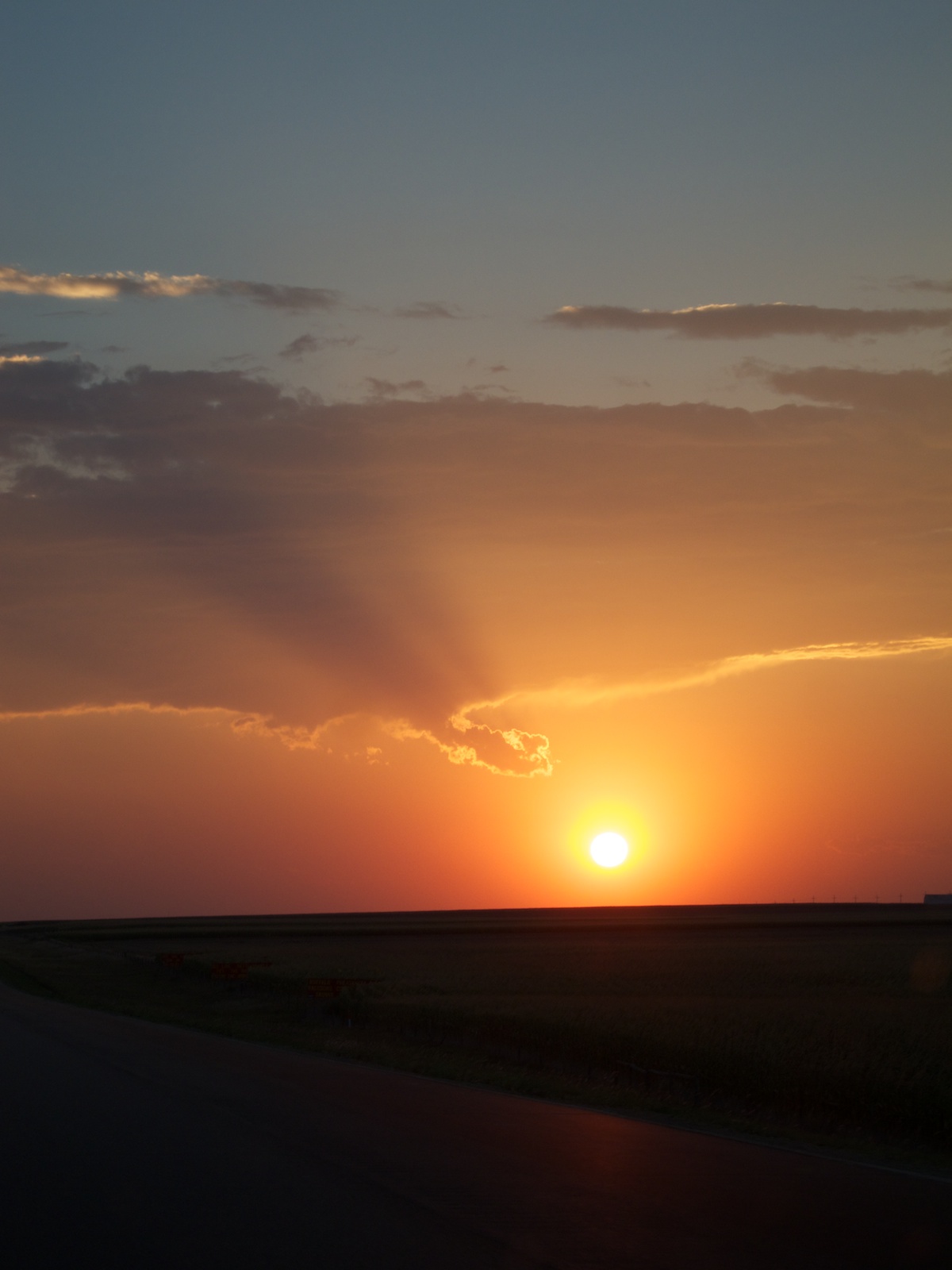
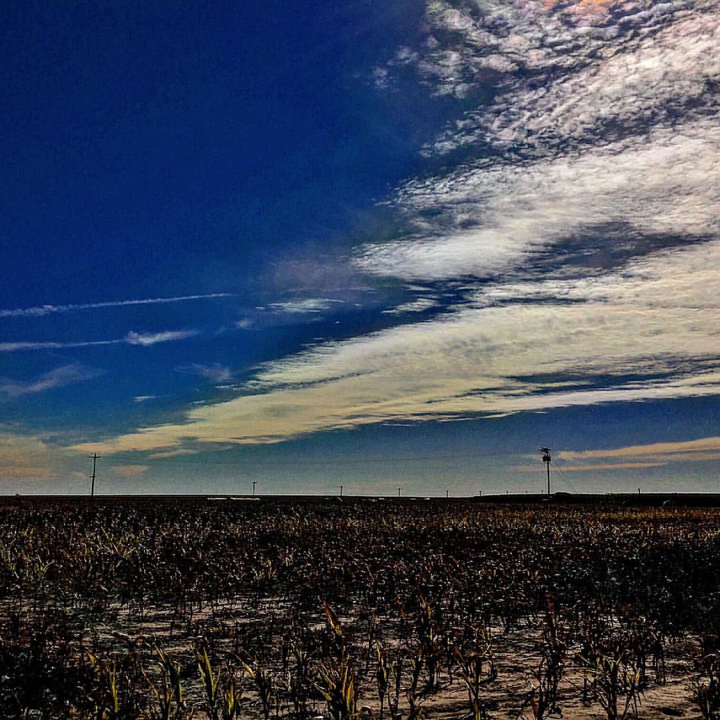
Last rays
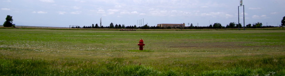
Fire Hydrant
7.9

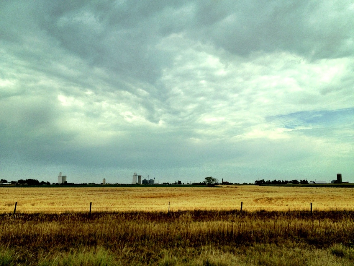
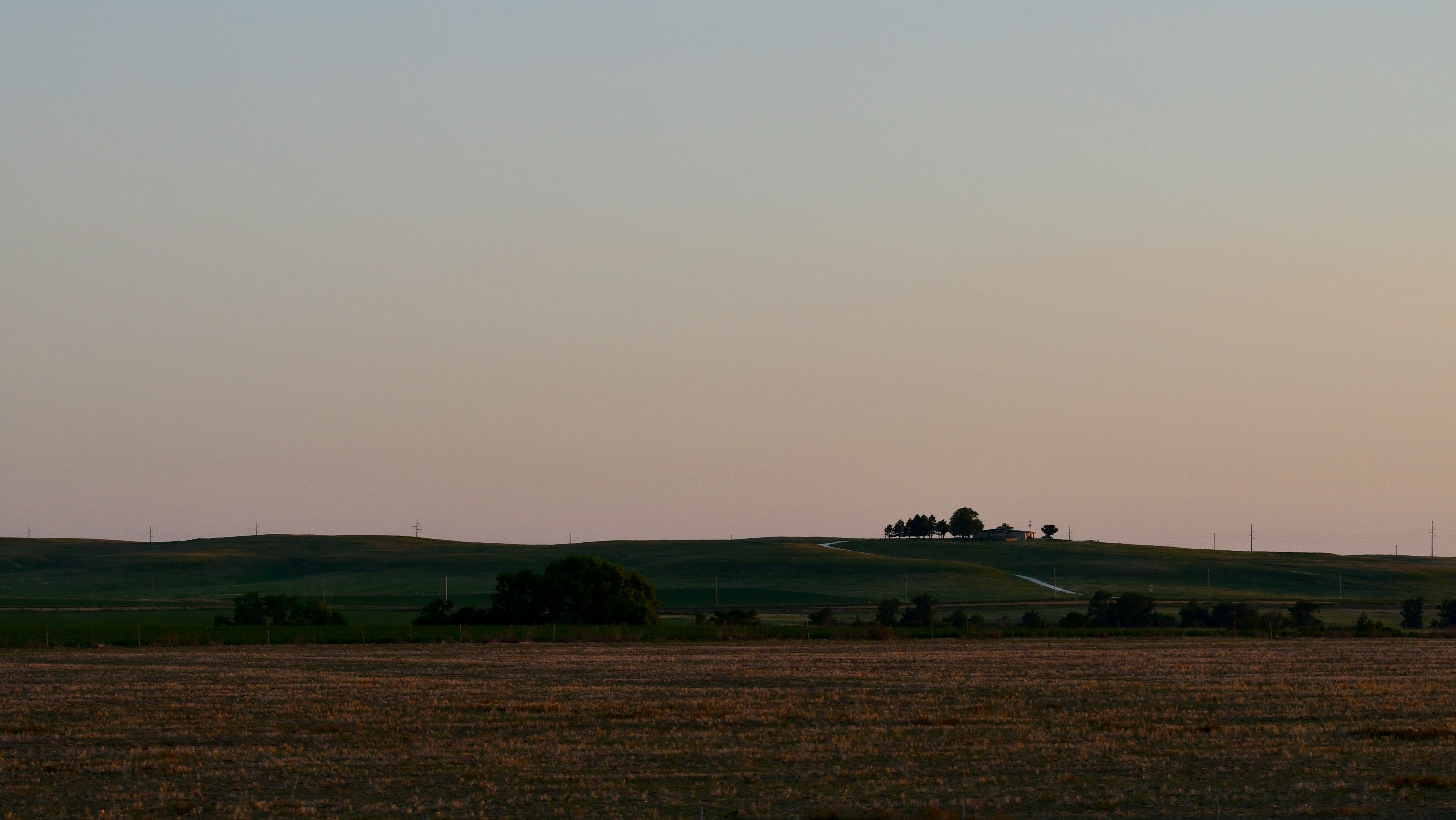
Ruined farm in Gove County, Kansas
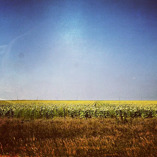
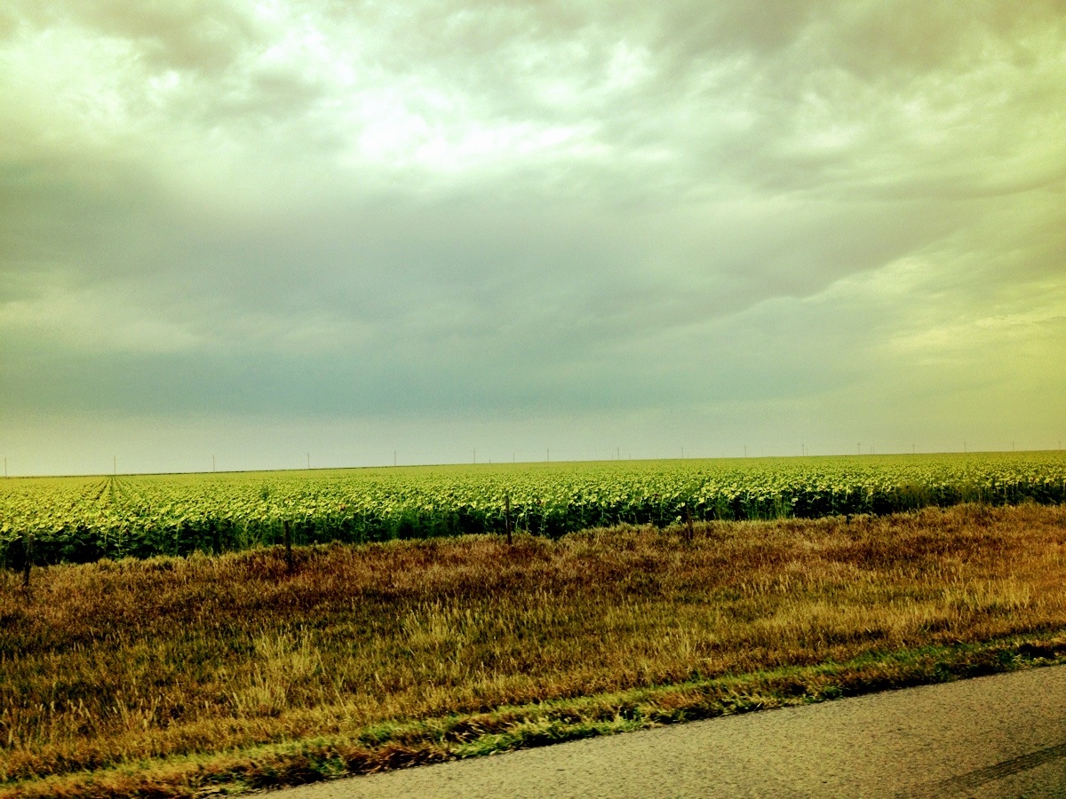
Sunflower Fields. #kansas #travel #roadtrip #sights
Topographic Map of Grainfield, KS, USA
Find elevation by address:

Places near Grainfield, KS, USA:
Gove City
Gove County
Quinter
Collyer
Oakley
Collyer
Oakley
River Rd, Hill City, KS, USA
WaKeeney, KS, USA
Monument
Wakeeney
2502 Zest
Wakeeney
US-, WaKeeney, KS, USA
Dighton
E Long St, Dighton, KS, USA
410 E Long St
Thomas County
Lane County
Dighton
Recent Searches:
- Elevation map of Greenland, Greenland
- Elevation of Sullivan Hill, New York, New York, 10002, USA
- Elevation of Morehead Road, Withrow Downs, Charlotte, Mecklenburg County, North Carolina, 28262, USA
- Elevation of 2800, Morehead Road, Withrow Downs, Charlotte, Mecklenburg County, North Carolina, 28262, USA
- Elevation of Yangbi Yi Autonomous County, Yunnan, China
- Elevation of Pingpo, Yangbi Yi Autonomous County, Yunnan, China
- Elevation of Mount Malong, Pingpo, Yangbi Yi Autonomous County, Yunnan, China
- Elevation map of Yongping County, Yunnan, China
- Elevation of North 8th Street, Palatka, Putnam County, Florida, 32177, USA
- Elevation of 107, Big Apple Road, East Palatka, Putnam County, Florida, 32131, USA
- Elevation of Jiezi, Chongzhou City, Sichuan, China
- Elevation of Chongzhou City, Sichuan, China
- Elevation of Huaiyuan, Chongzhou City, Sichuan, China
- Elevation of Qingxia, Chengdu, Sichuan, China
- Elevation of Corso Fratelli Cairoli, 35, Macerata MC, Italy
- Elevation of Tallevast Rd, Sarasota, FL, USA
- Elevation of 4th St E, Sonoma, CA, USA
- Elevation of Black Hollow Rd, Pennsdale, PA, USA
- Elevation of Oakland Ave, Williamsport, PA, USA
- Elevation of Pedrógão Grande, Portugal