Elevation of Collyer, KS, USA
Location: United States > Kansas > Trego County > Collyer >
Longitude: -100.1179065
Latitude: 39.0355632
Elevation: 786m / 2579feet
Barometric Pressure: 0KPa
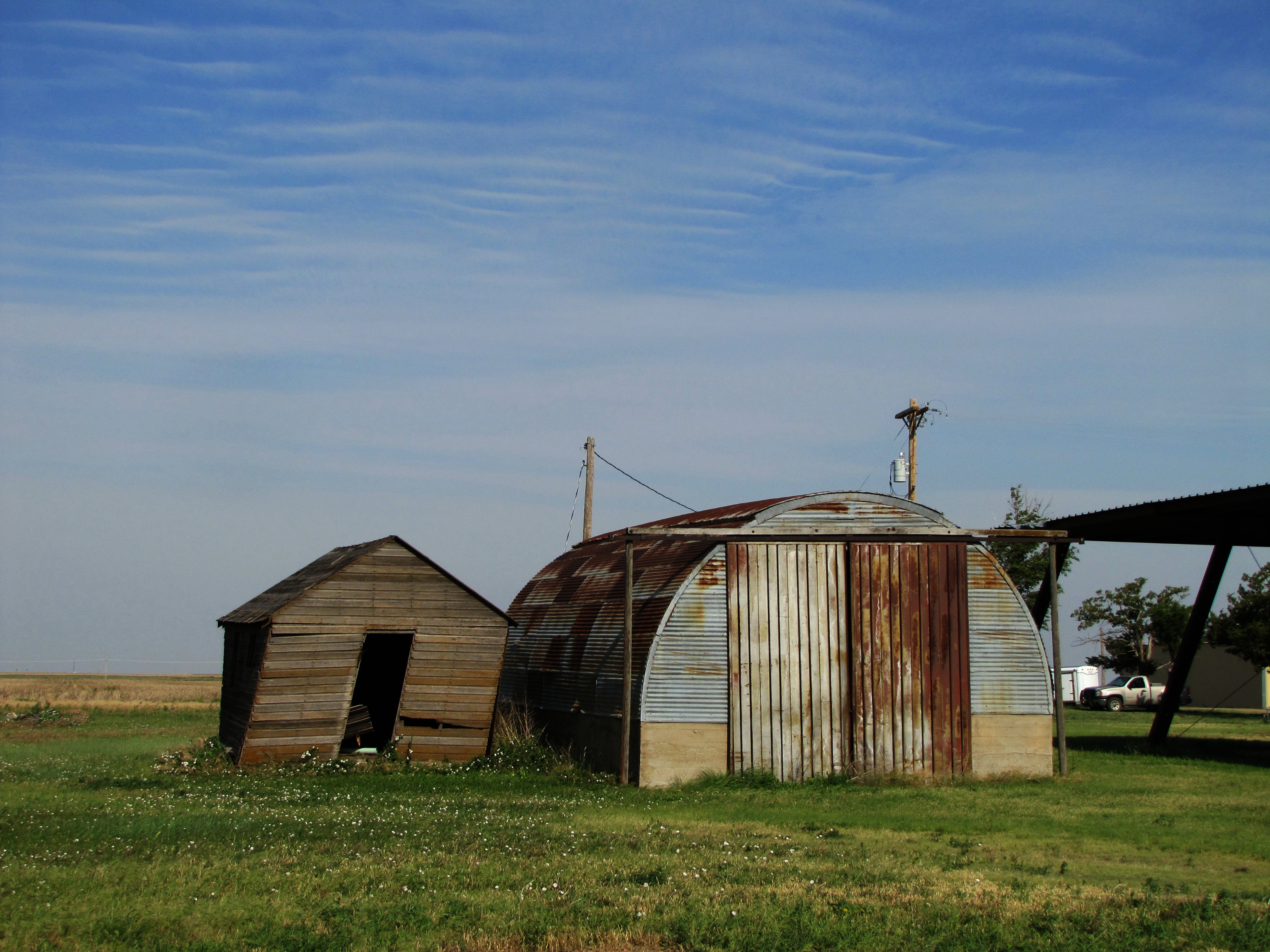
Related Photos:
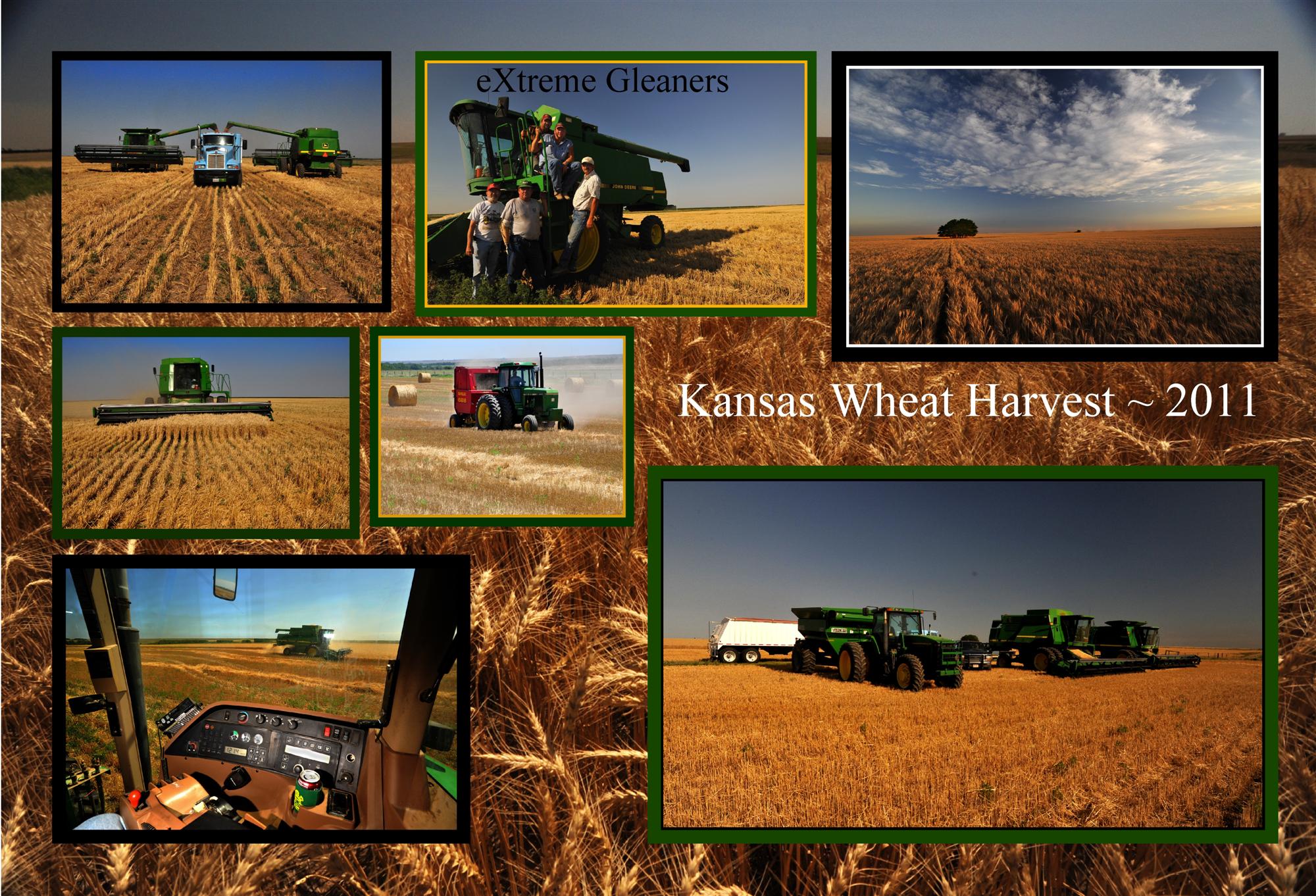
Kansas Harvest Montage

Kansas Wheat Harvest....
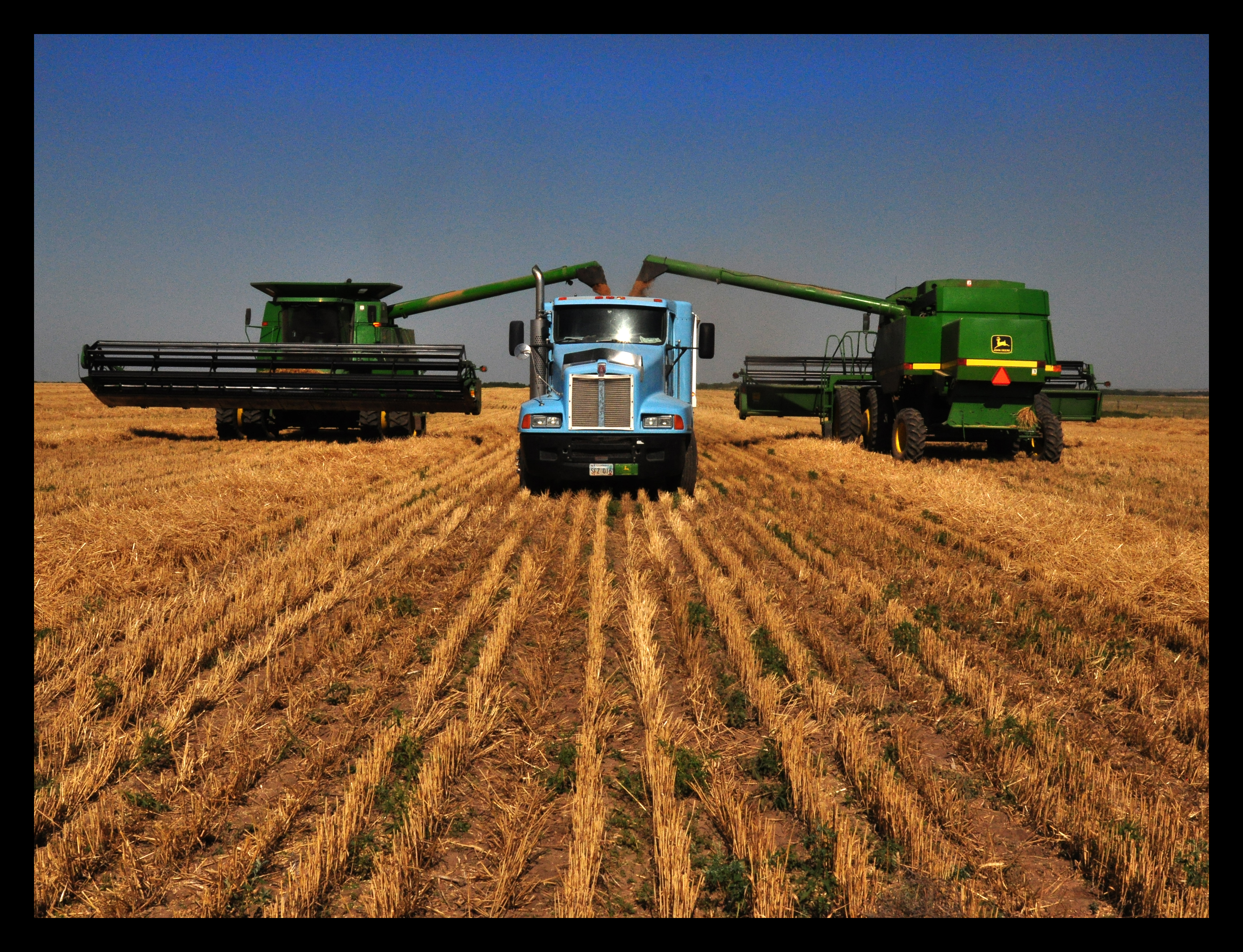
Combines unloading into the KW

2012-08-06 13.29.19-2
Camera Roll-743
Camera Roll-745

2012-08-06 13.29.17

2012-08-06 13.28.02-1

2012-08-06 13.28.01
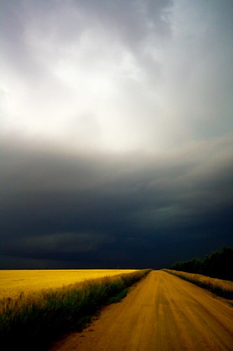
A Road to the Sky
High plains geometry
Badlands near Castle Rock
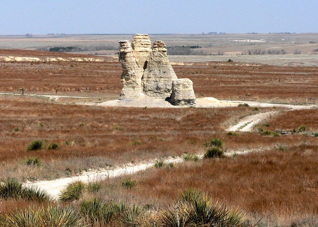
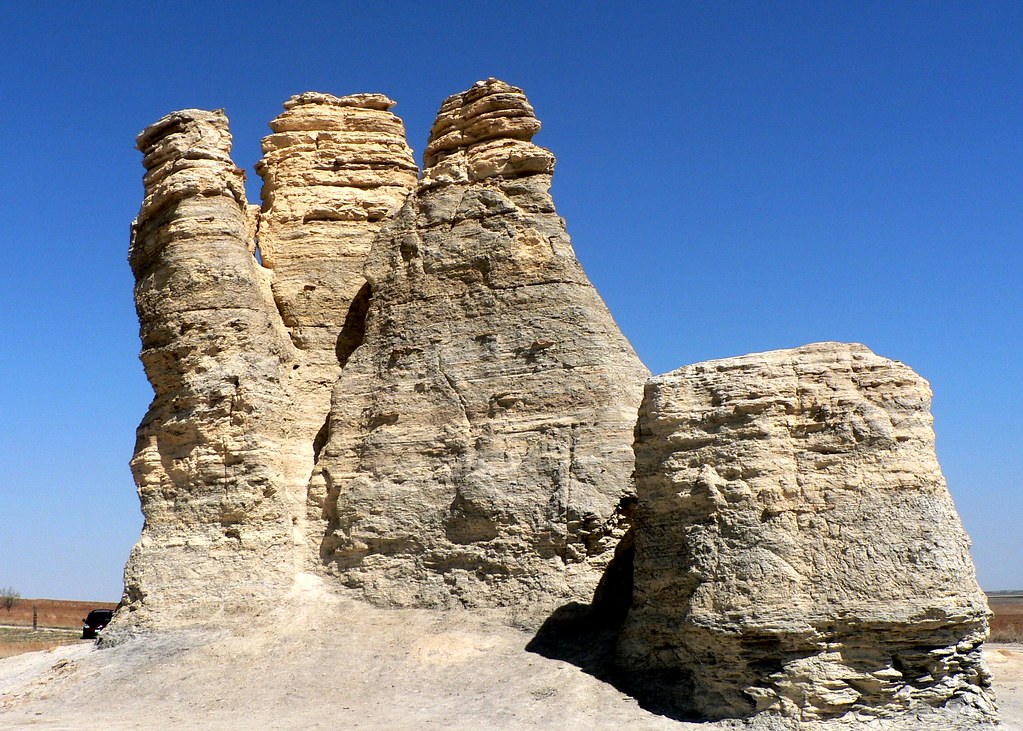
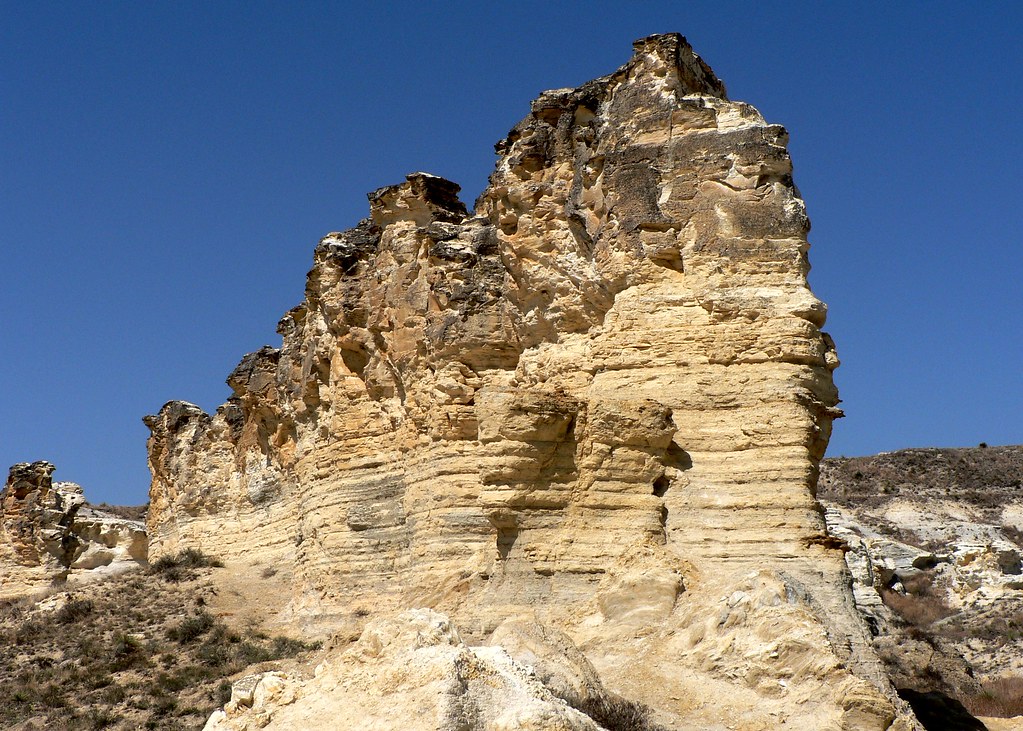
Castle Rock
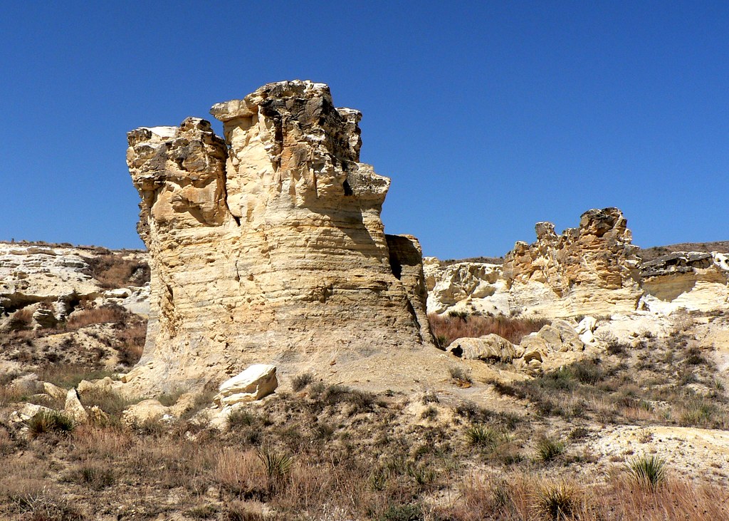
Badlands near Castle Rock
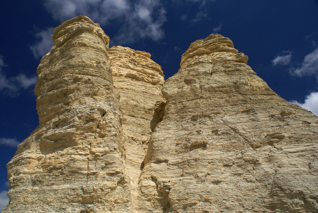
Castle Rock, Kansas
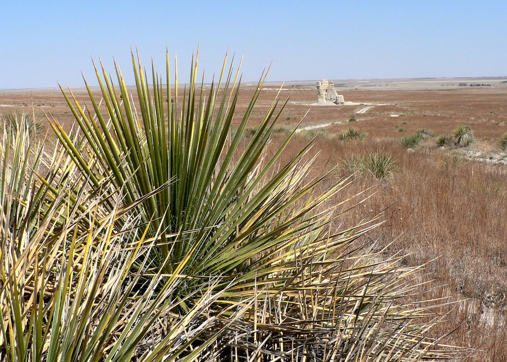
Yucca with Castle Rock in the distance
Castle Rock
Badlands near Castle Rock
7.9
On the way to Castle Rock in Kansas

Ad Astra #kansas #tallgrass #prairie #moonrise #KS #landscape #magichour

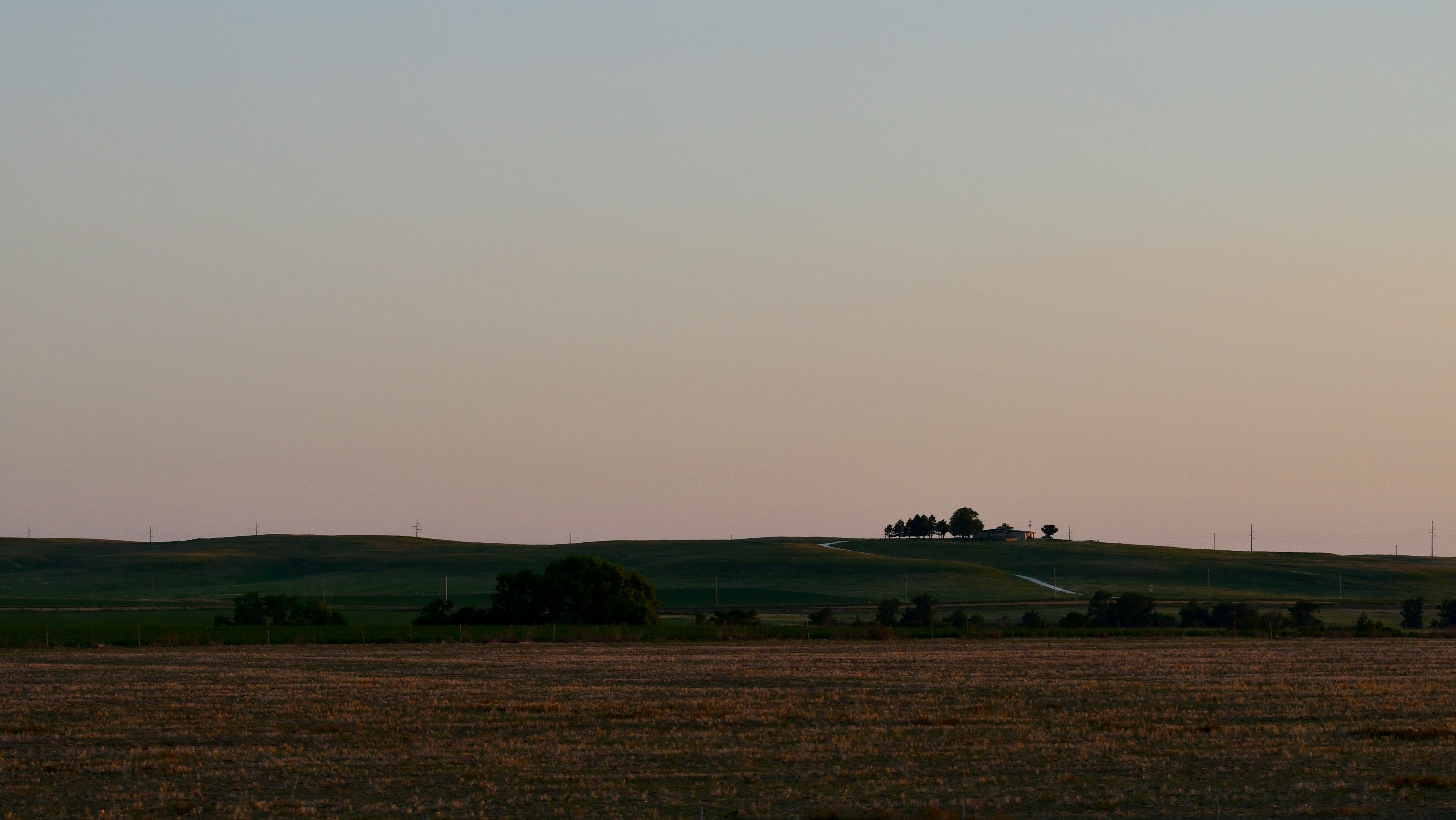
This is Kansas
Topographic Map of Collyer, KS, USA
Find elevation by address:

Places near Collyer, KS, USA:
Collyer
Quinter
WaKeeney, KS, USA
Wakeeney
Wakeeney
US-, WaKeeney, KS, USA
River Rd, Hill City, KS, USA
Grainfield
Gove City
Gove County
410 E Long St
E Long St, Dighton, KS, USA
Dighton
Lane County
Dighton
Oakley
Oakley
Hodgeman County
Scott County
Monument
Recent Searches:
- Elevation of 8, Rue de Bécancour, Blainville, Thérèse-De Blainville, Quebec, J7B1N2, Canada
- Elevation of Wilmot Court North, 163, University Avenue West, Northdale, Waterloo, Region of Waterloo, Ontario, N2L6B6, Canada
- Elevation map of Panamá Province, Panama
- Elevation of Balboa, Panamá Province, Panama
- Elevation of San Miguel, Balboa, Panamá Province, Panama
- Elevation of Isla Gibraleón, San Miguel, Balboa, Panamá Province, Panama
- Elevation of 4655, Krischke Road, Schulenburg, Fayette County, Texas, 78956, USA
- Elevation of Carnegie Avenue, Downtown Cleveland, Cleveland, Cuyahoga County, Ohio, 44115, USA
- Elevation of Walhonding, Coshocton County, Ohio, USA
- Elevation of Clifton Down, Clifton, Bristol, City of Bristol, England, BS8 3HU, United Kingdom
- Elevation map of Auvergne-Rhône-Alpes, France
- Elevation map of Upper Savoy, Auvergne-Rhône-Alpes, France
- Elevation of Chamonix-Mont-Blanc, Upper Savoy, Auvergne-Rhône-Alpes, France
- Elevation of 908, Northwood Drive, Bridge Field, Chesapeake, Virginia, 23322, USA
- Elevation map of Nagano Prefecture, Japan
- Elevation of 587, Bascule Drive, Oakdale, Stanislaus County, California, 95361, USA
- Elevation of Stadion Wankdorf, Sempachstrasse, Breitfeld, Bern, Bern-Mittelland administrative district, Bern, 3014, Switzerland
- Elevation of Z024, 76, Emil-von-Behring-Straße, Marbach, Marburg, Landkreis Marburg-Biedenkopf, Hesse, 35041, Germany
- Elevation of Gaskill Road, Hunts Cross, Liverpool, England, L24 9PH, United Kingdom
- Elevation of Speke, Liverpool, England, L24 9HD, United Kingdom