Elevation of Gotanda, Nakanojō-machi, Agatsuma-gun, Gunma-ken -, Japan
Location: Japan > Gunma Prefecture > Agatsuma District > Nakanojo >
Longitude: 138.808377
Latitude: 36.6120808
Elevation: 574m / 1883feet
Barometric Pressure: 95KPa
Elevation Map:
Satellite Map:
Related Photos:
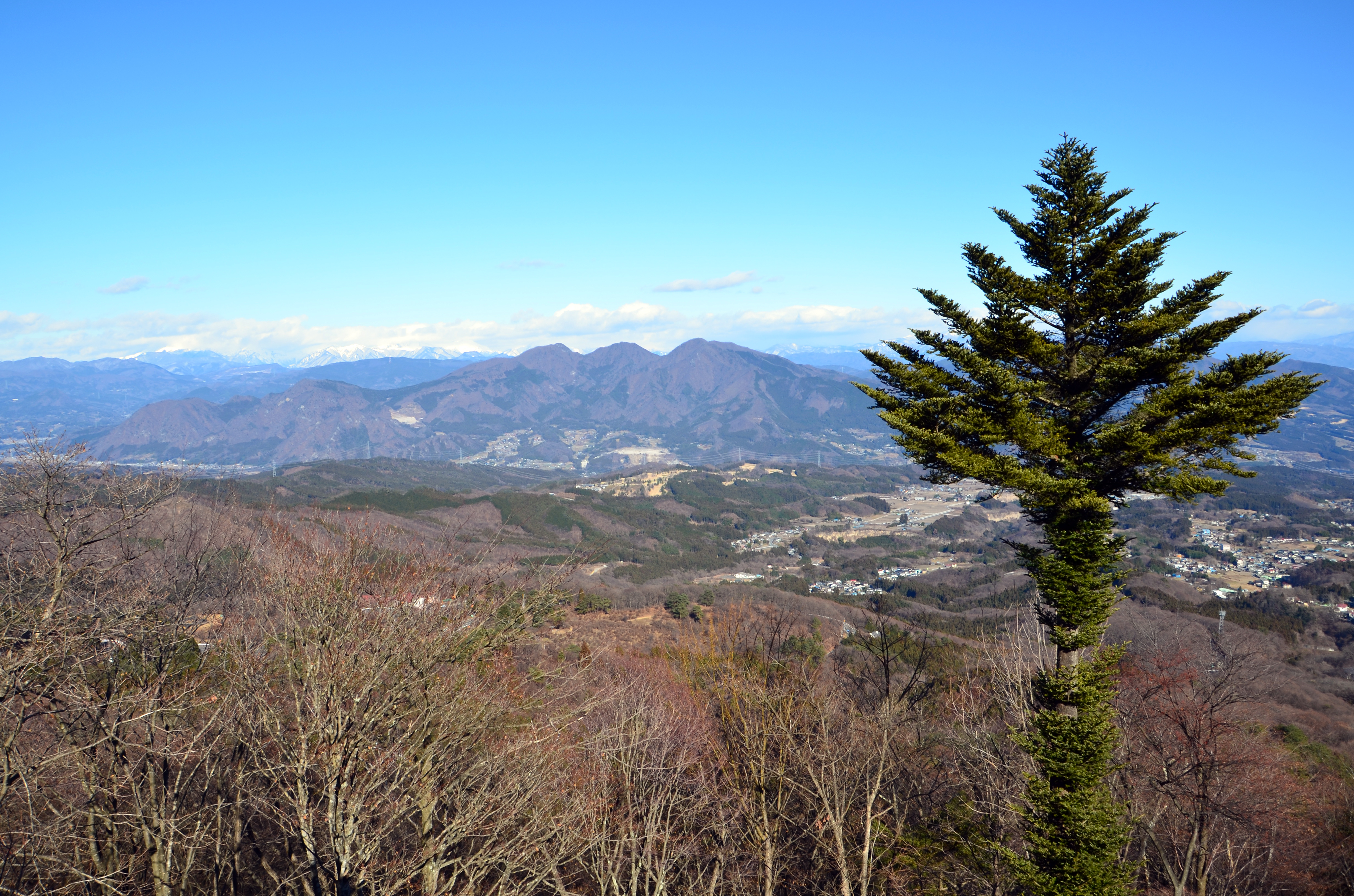
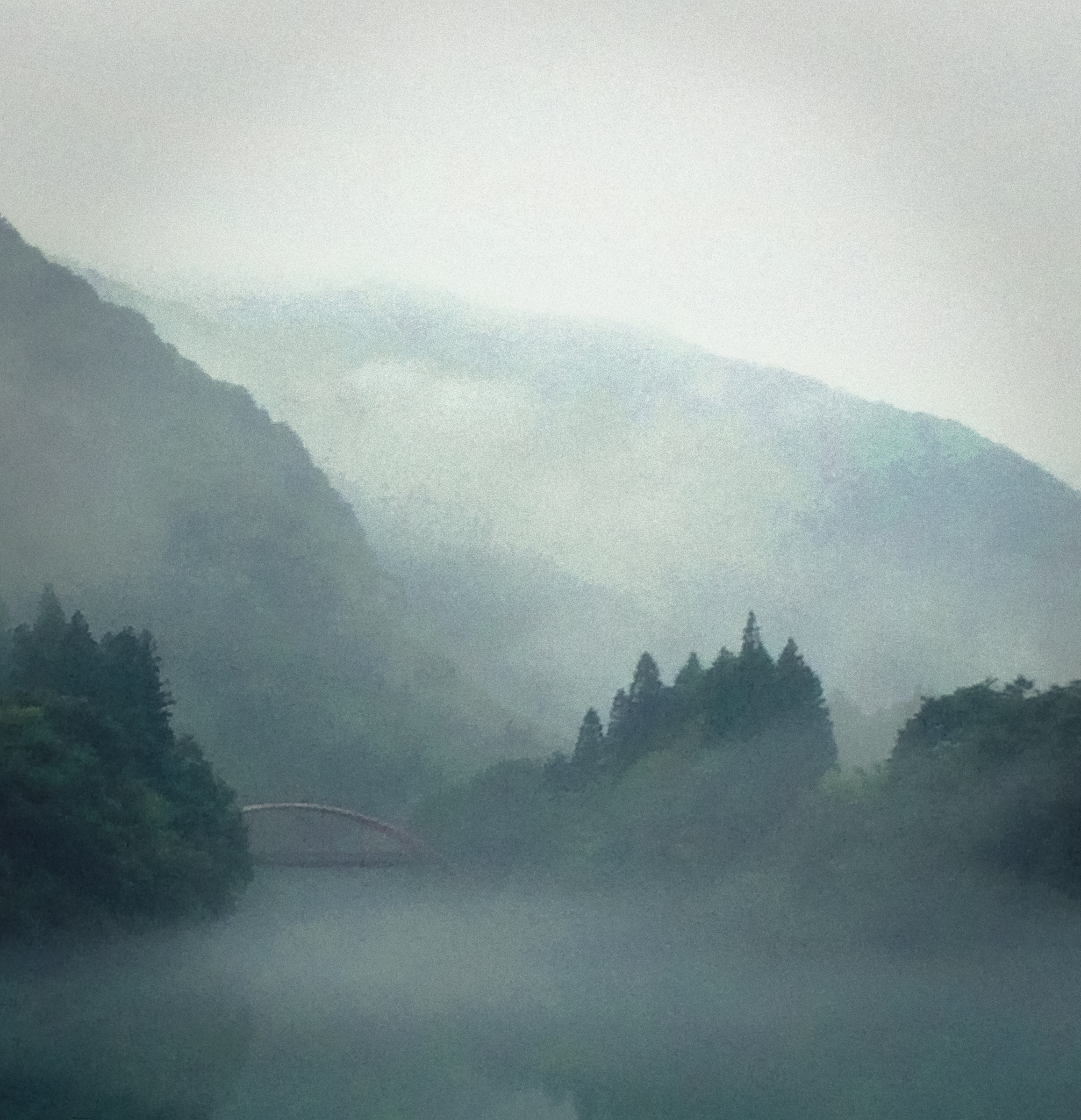
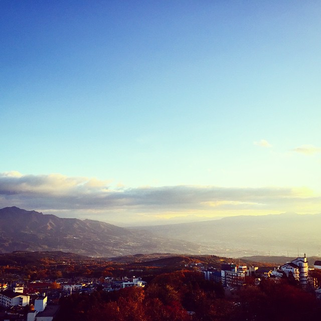
View from the lookout spot at Yaseone Touge
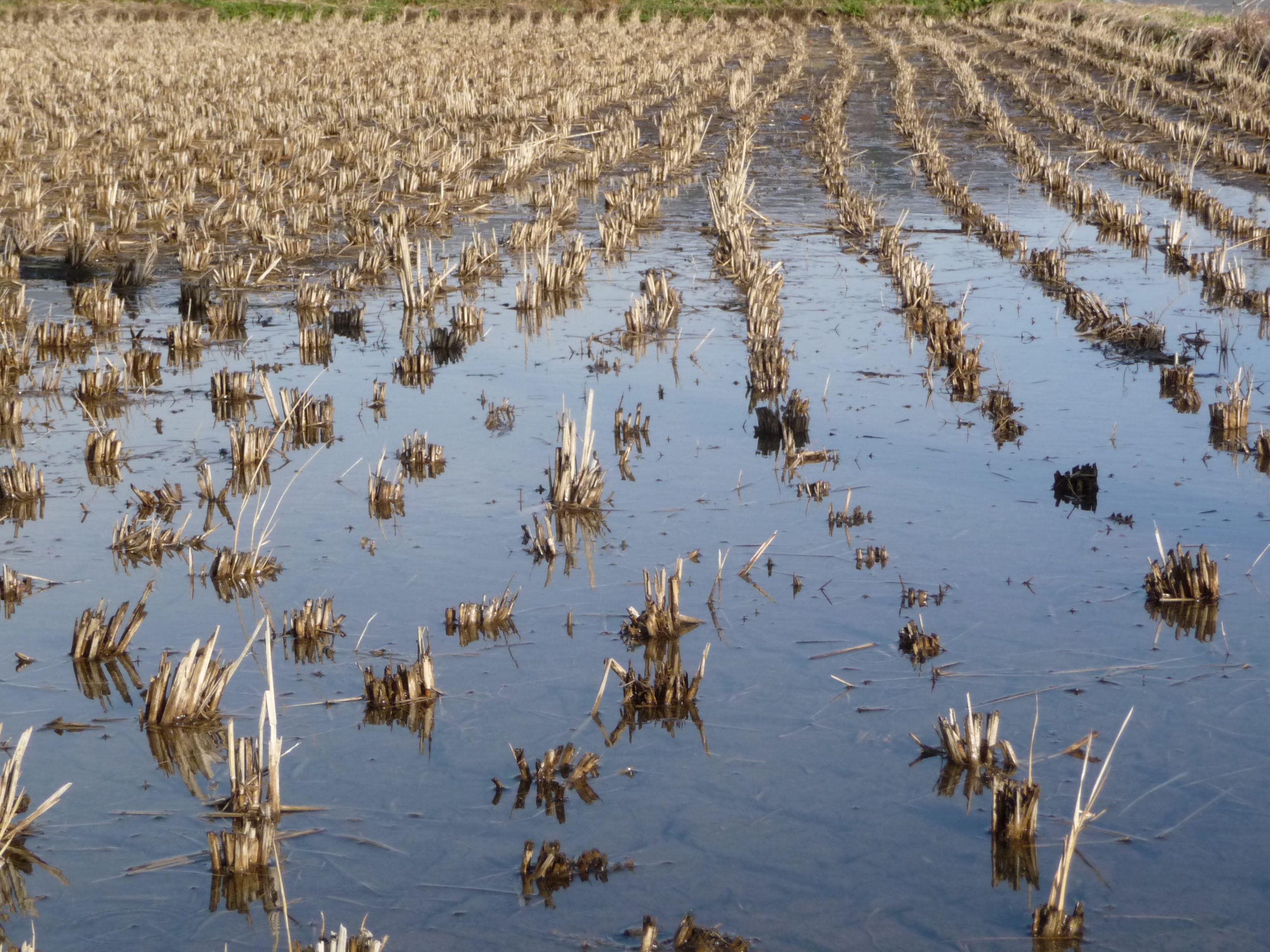
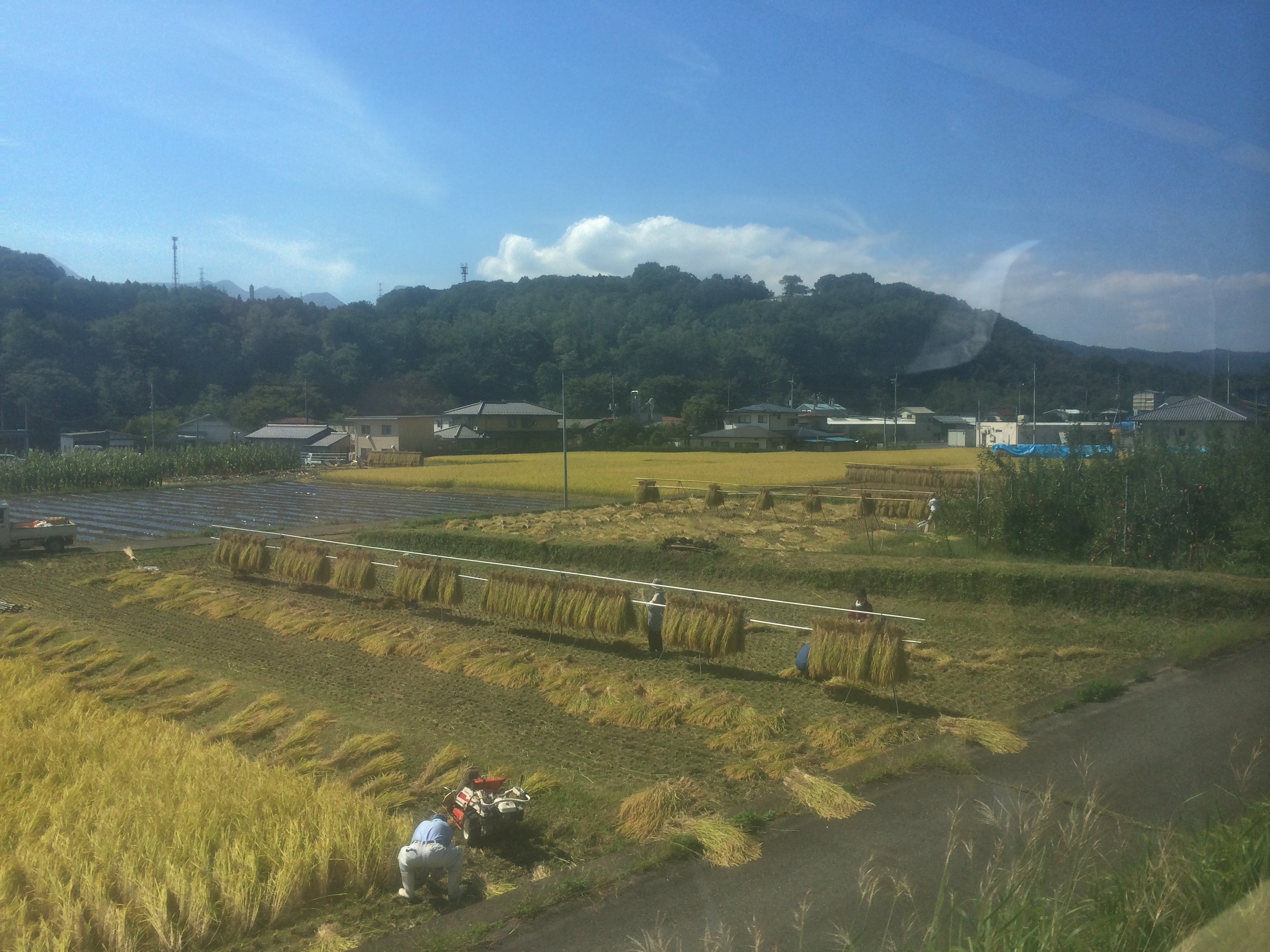
Rice Paddy, Niiharu Village

View from the lookout spot at Yaseone Touge
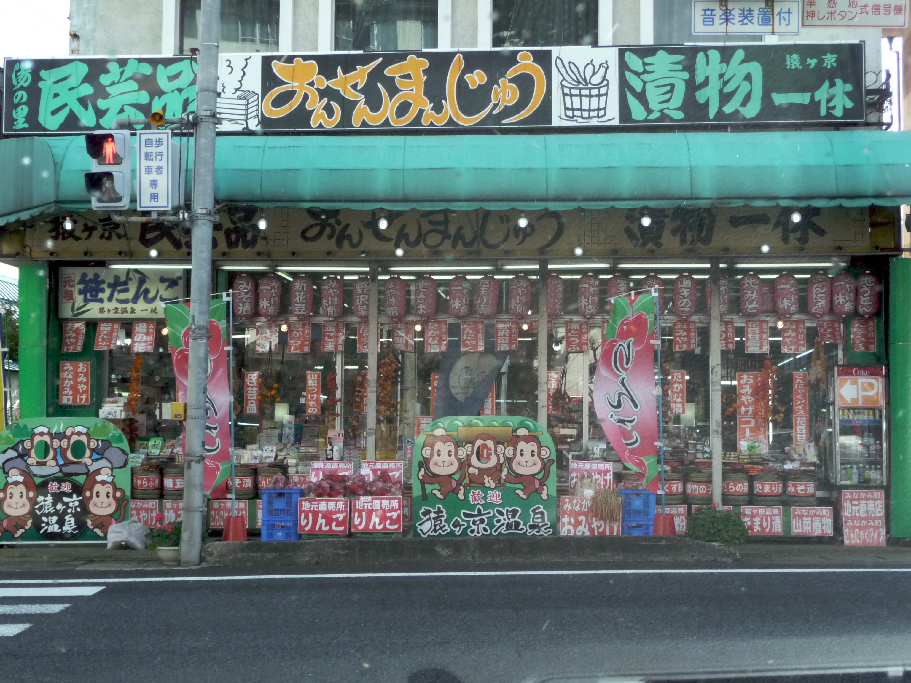
Monkey Onsen Shop
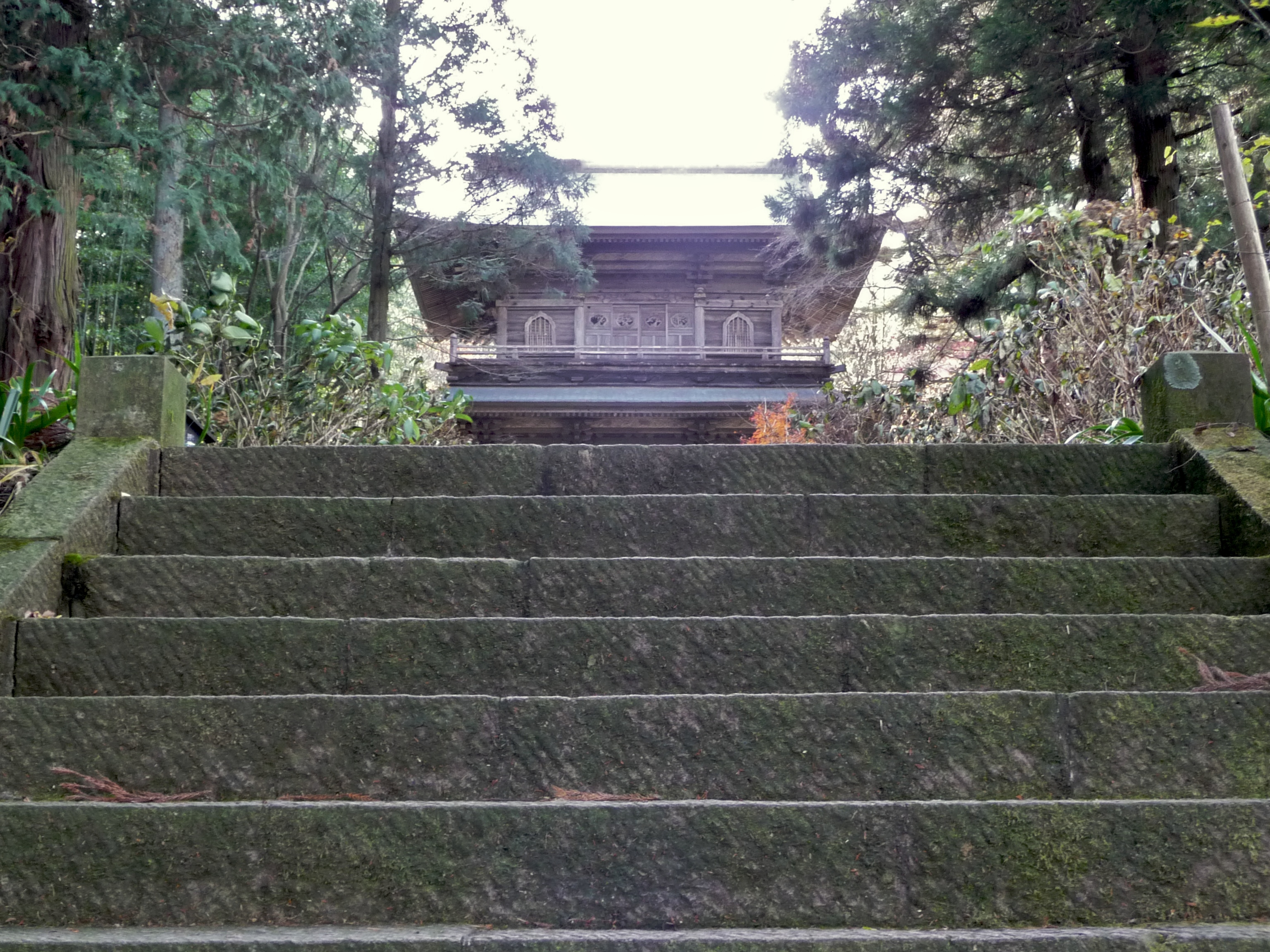
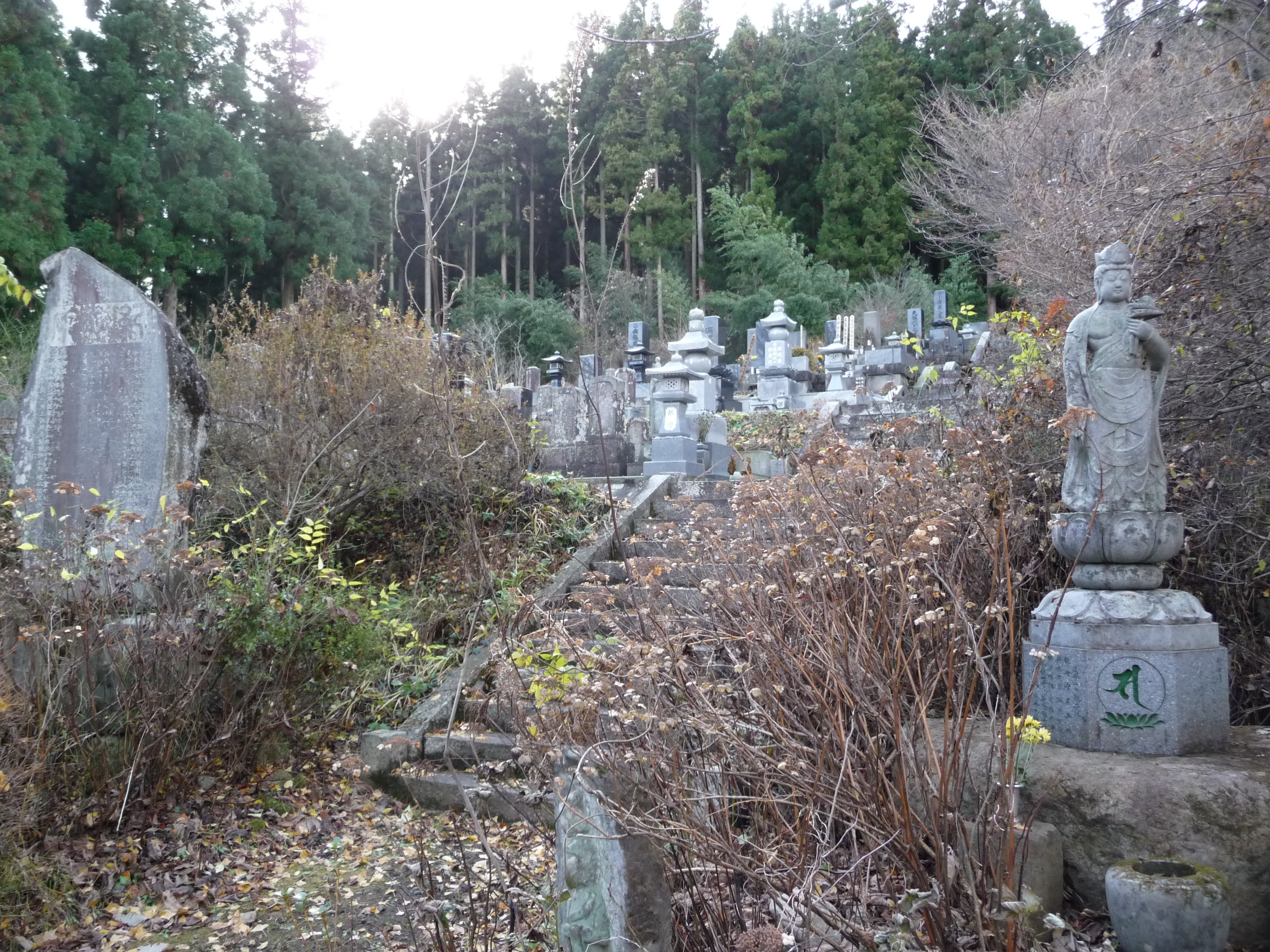
Tainaiji Temple Steps, Niiharu Village
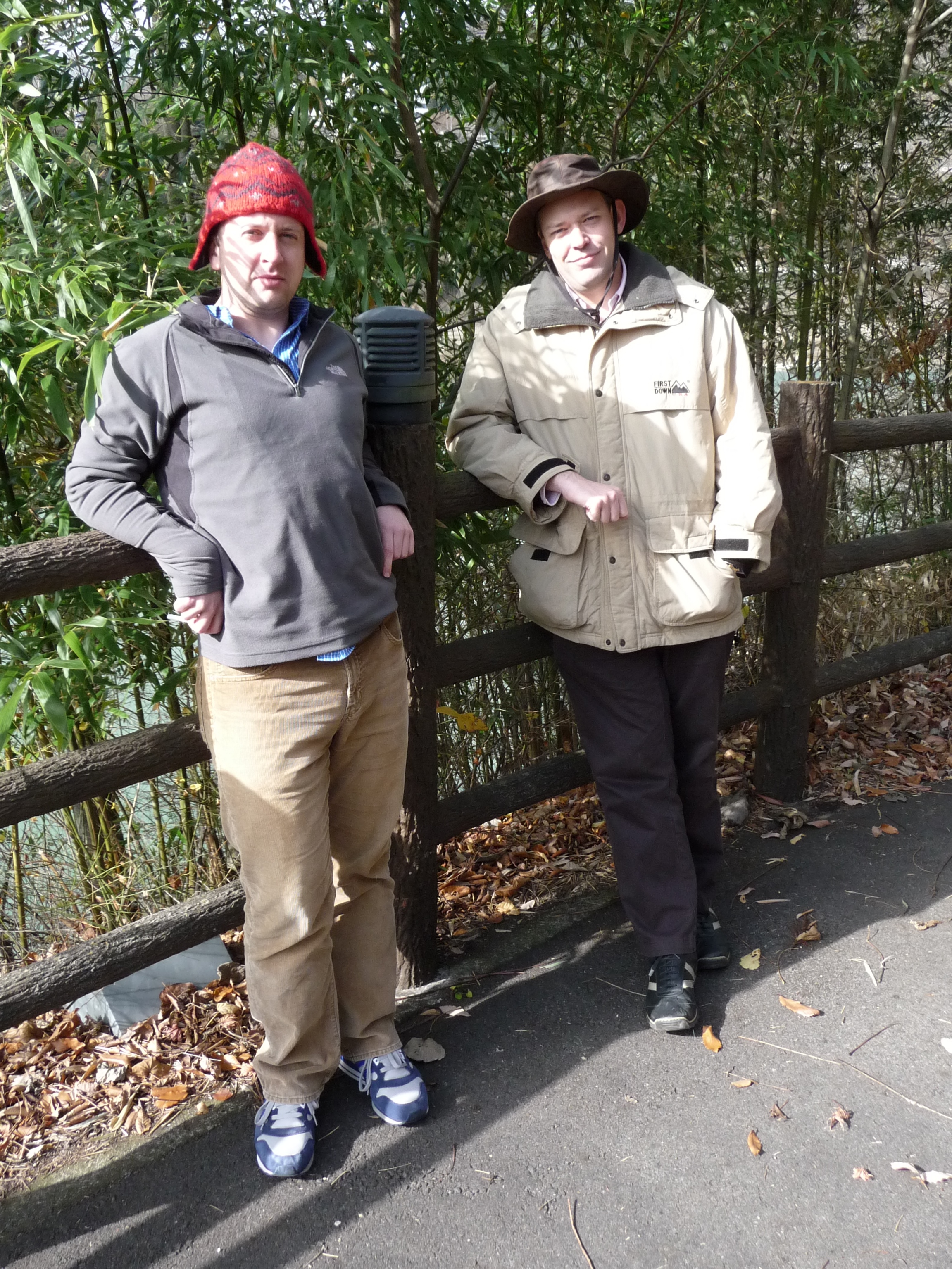
Michael & Jeremy, Lake Akaya
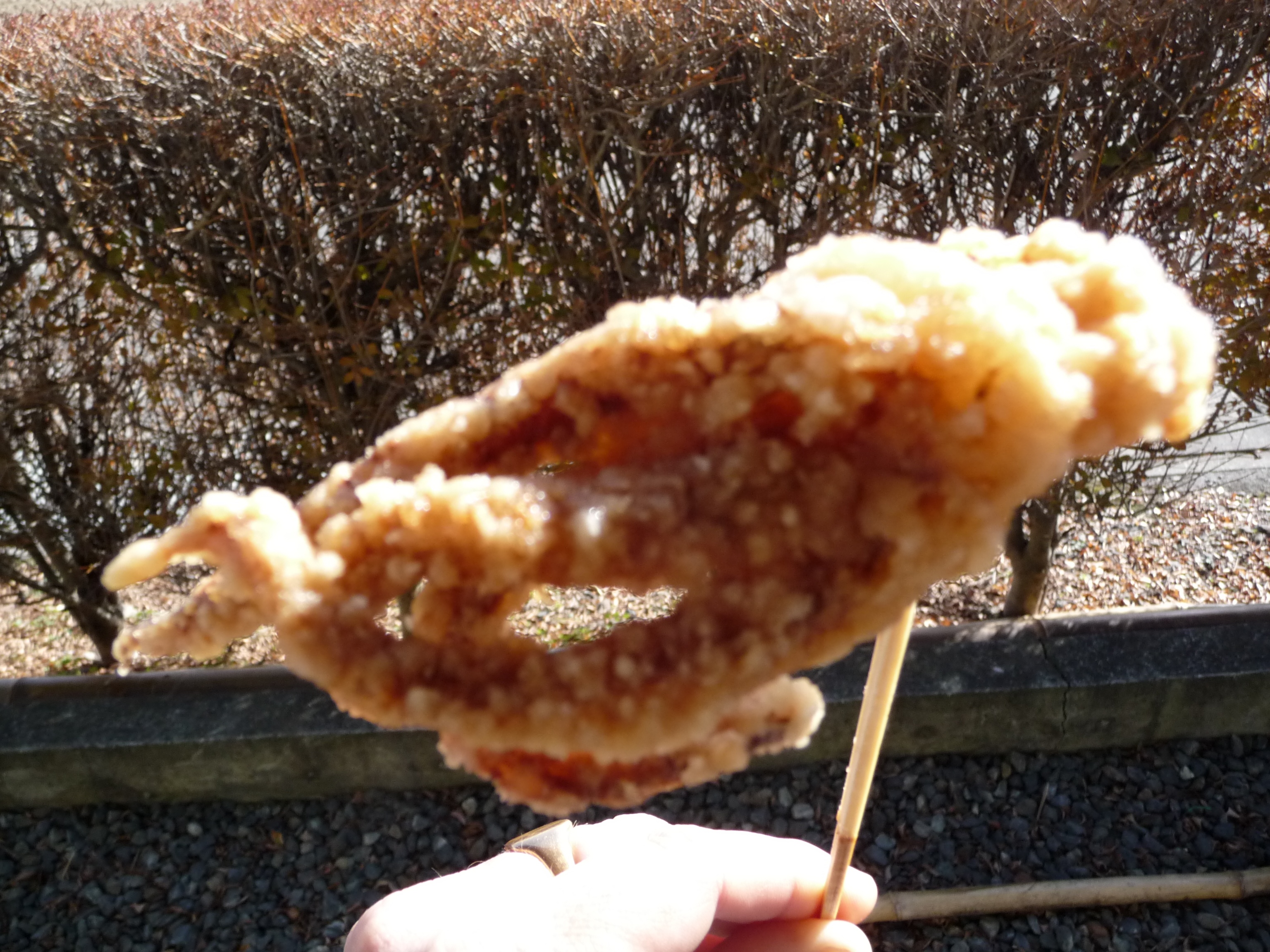
Deep Fried Octopus

Craft Studio, Takumi-no-sato
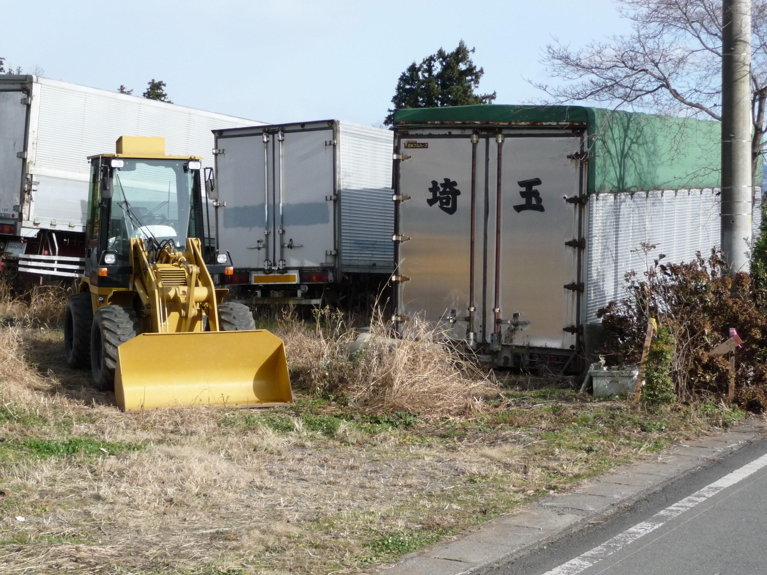
Digger, Niiharu Village
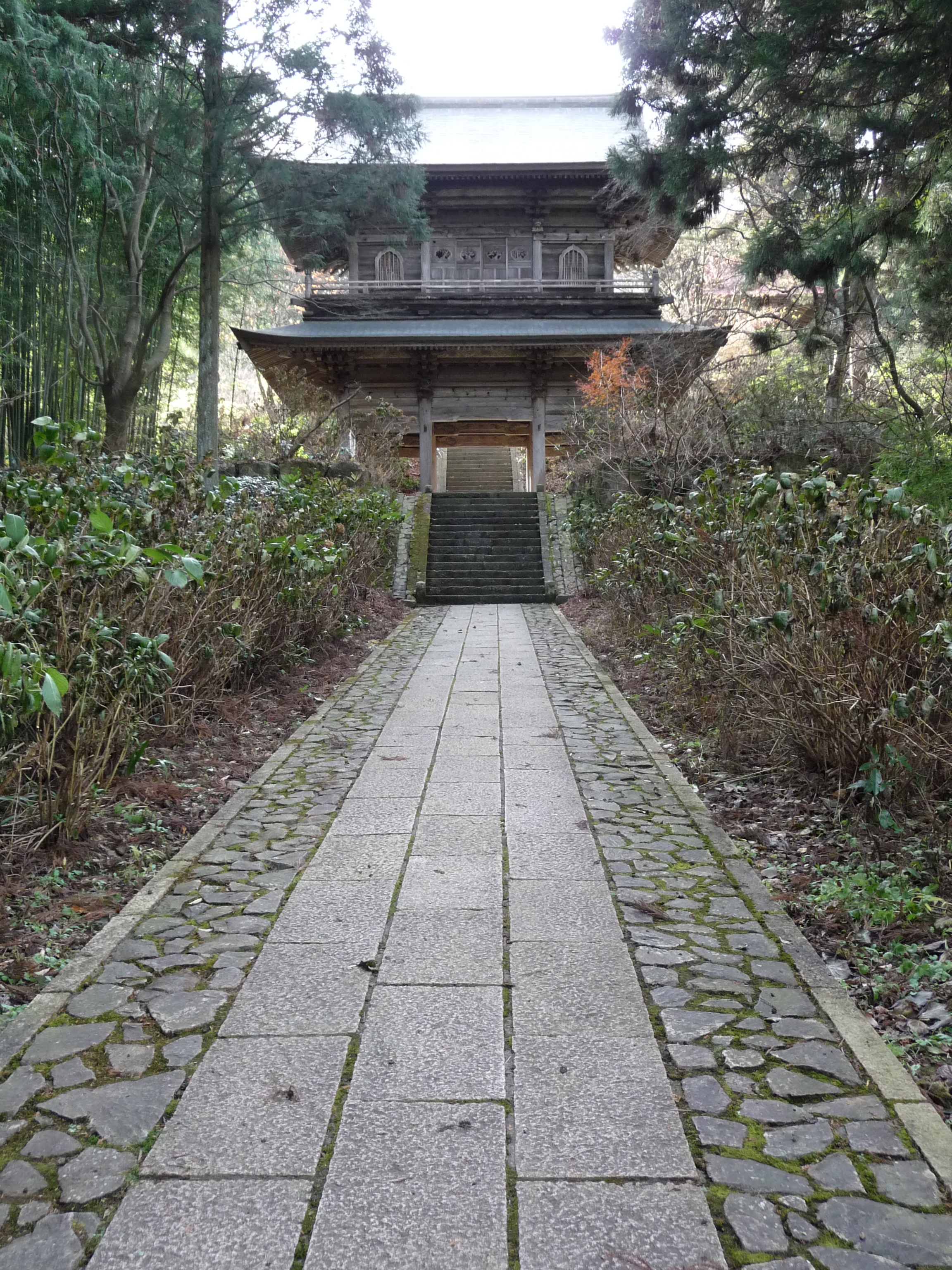
Tainaiji Temple Gate, Niiharu Village
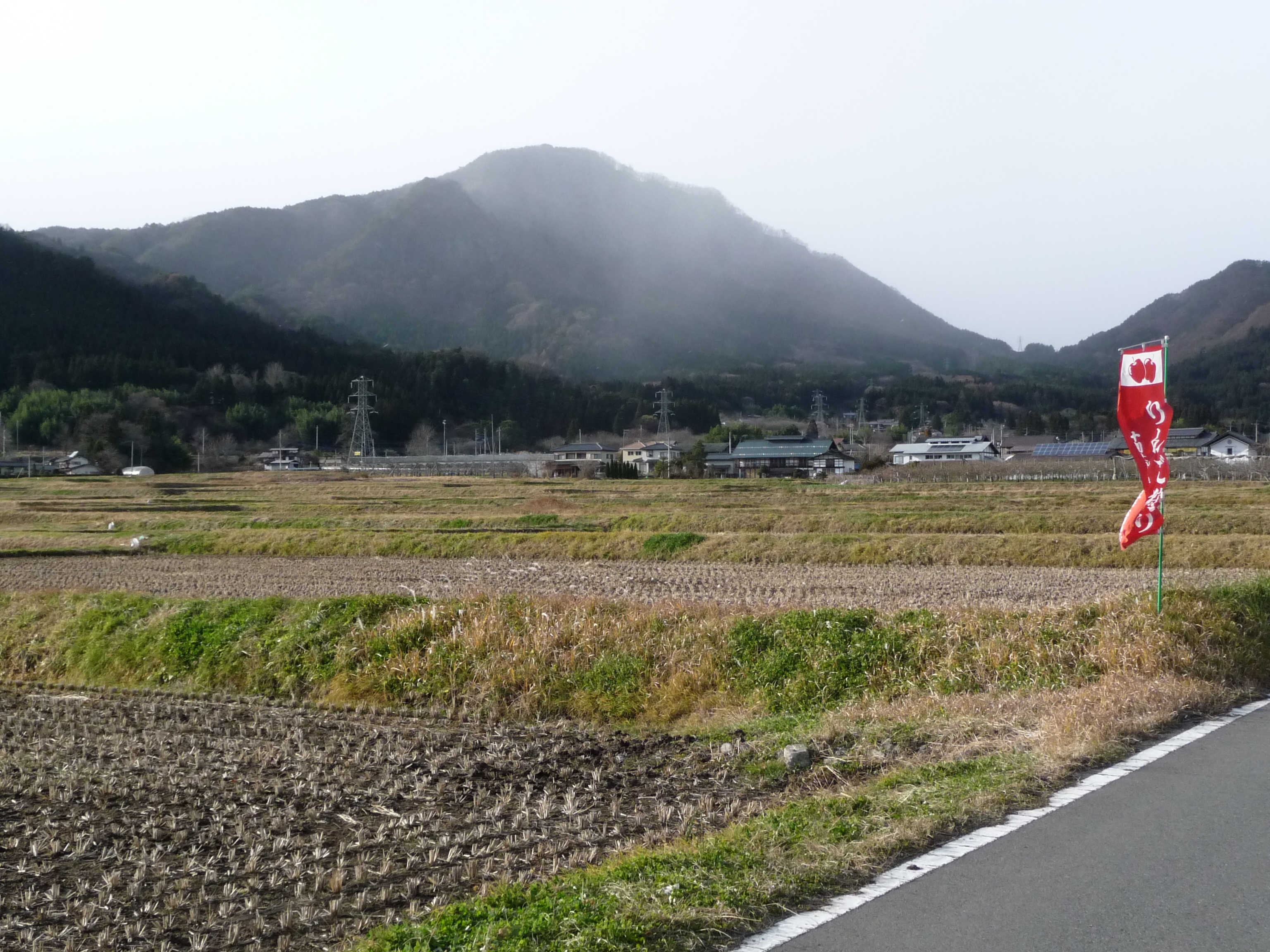
Rice Fields & Mountain, Niiharu Village

Tainaiji Temple, Niiharu Village
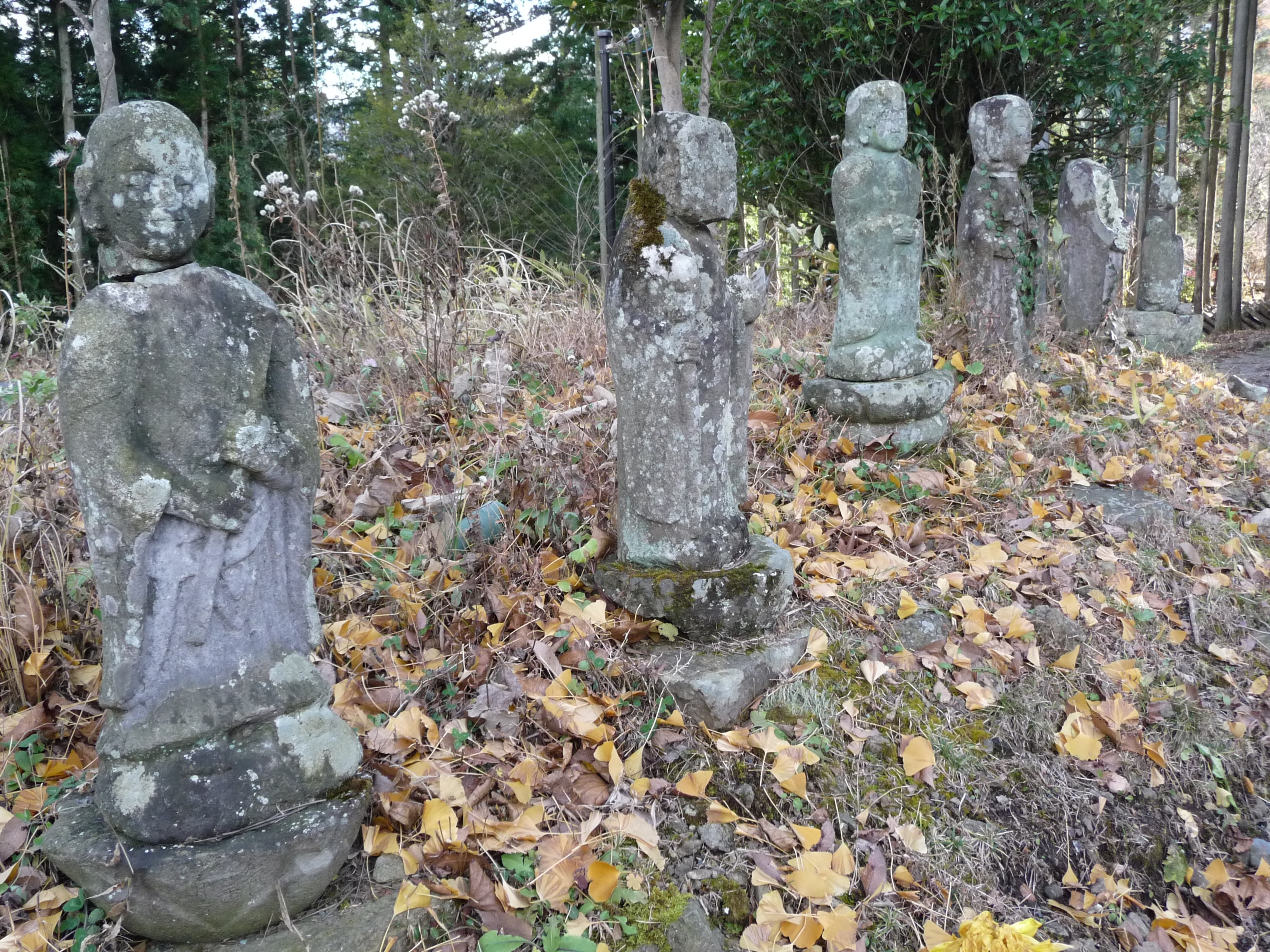
Line of Stone Deities, Niiharu Village

Street Scene, Ikaho
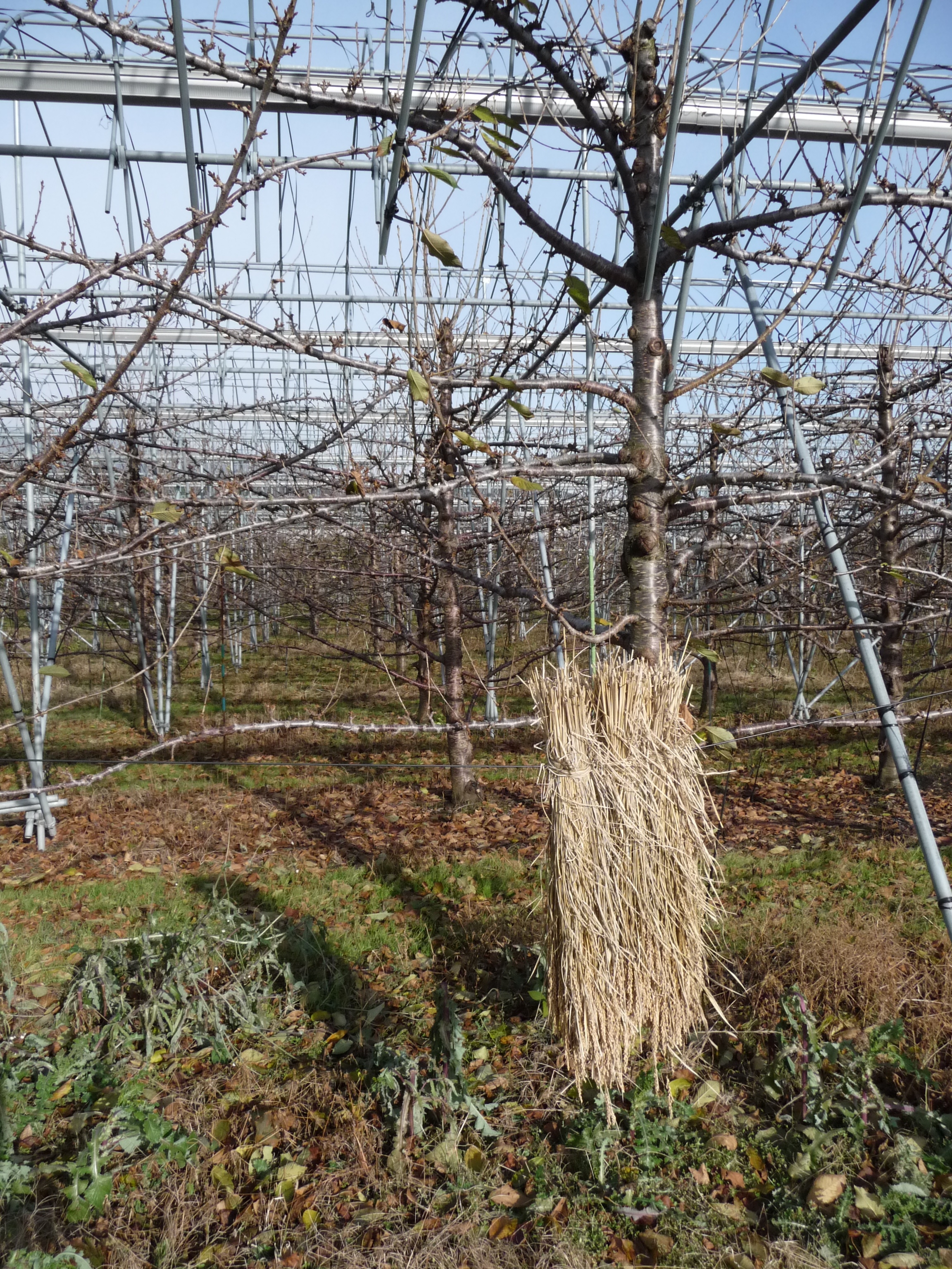
Orchard, Niiharu Village
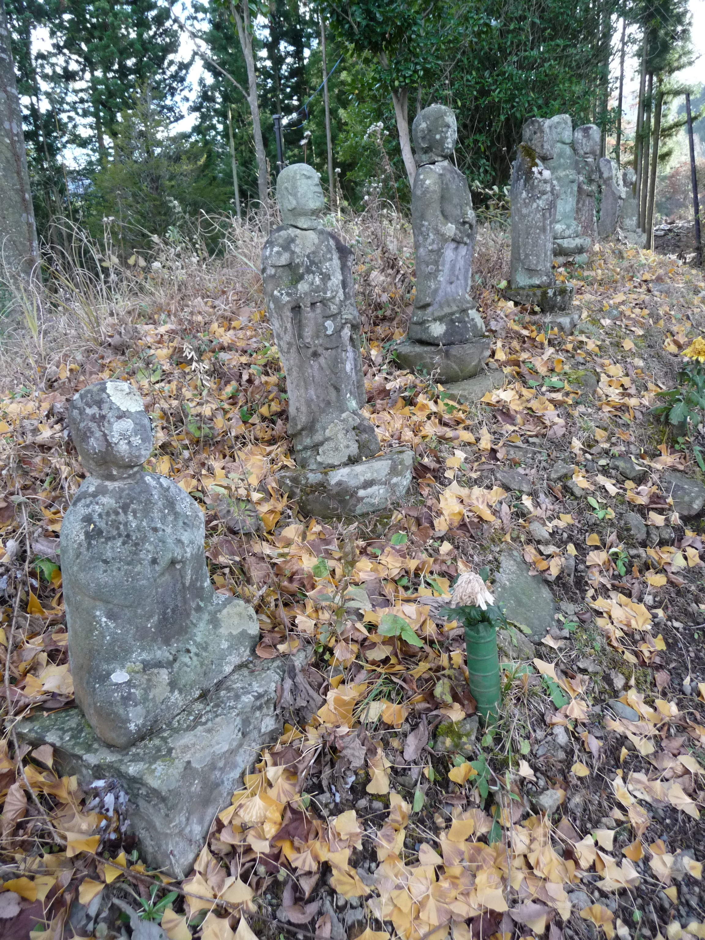
Stone Deities on Mound, Niiharu Village
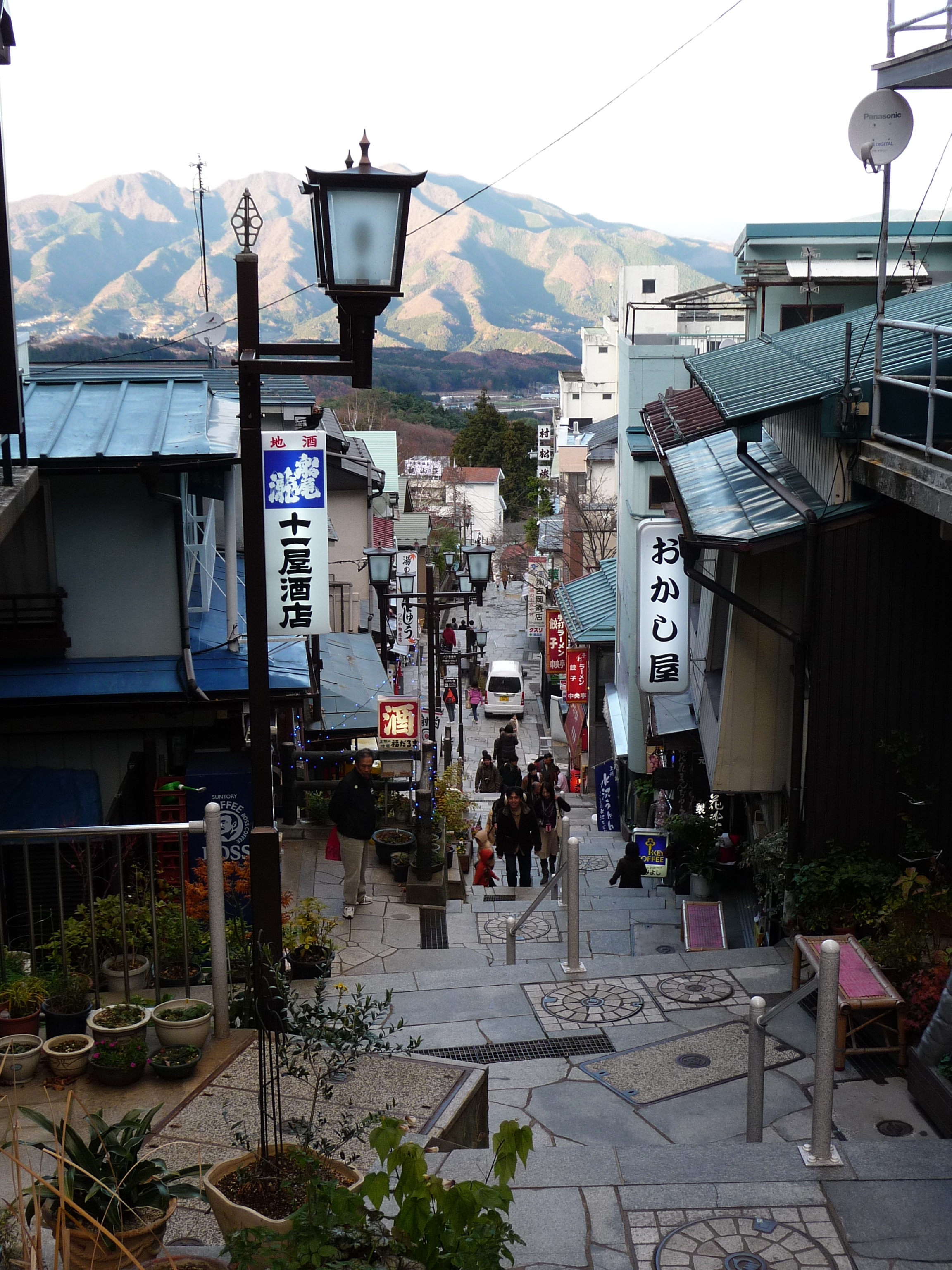
Ishidan-gai, Ikaho
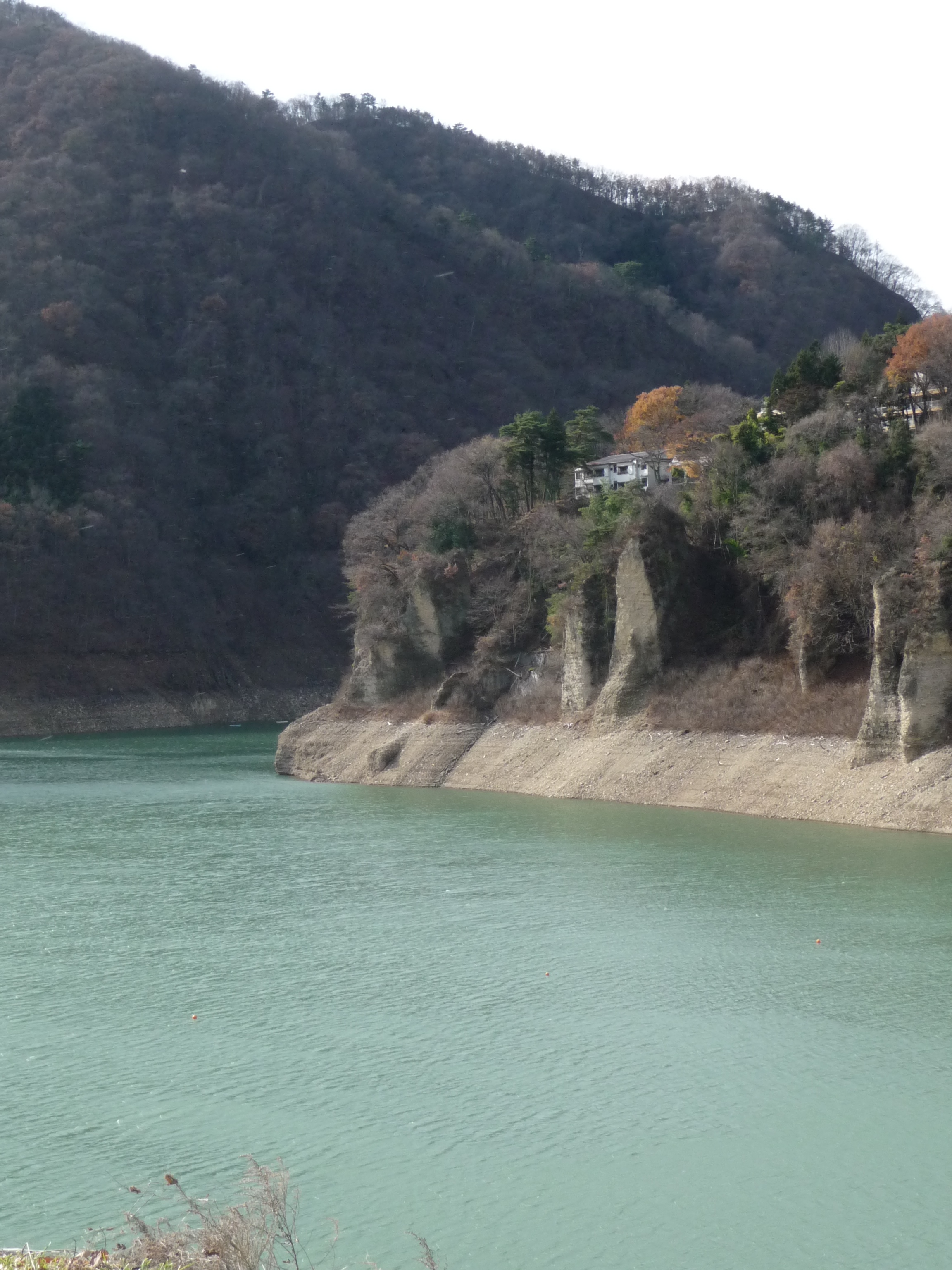
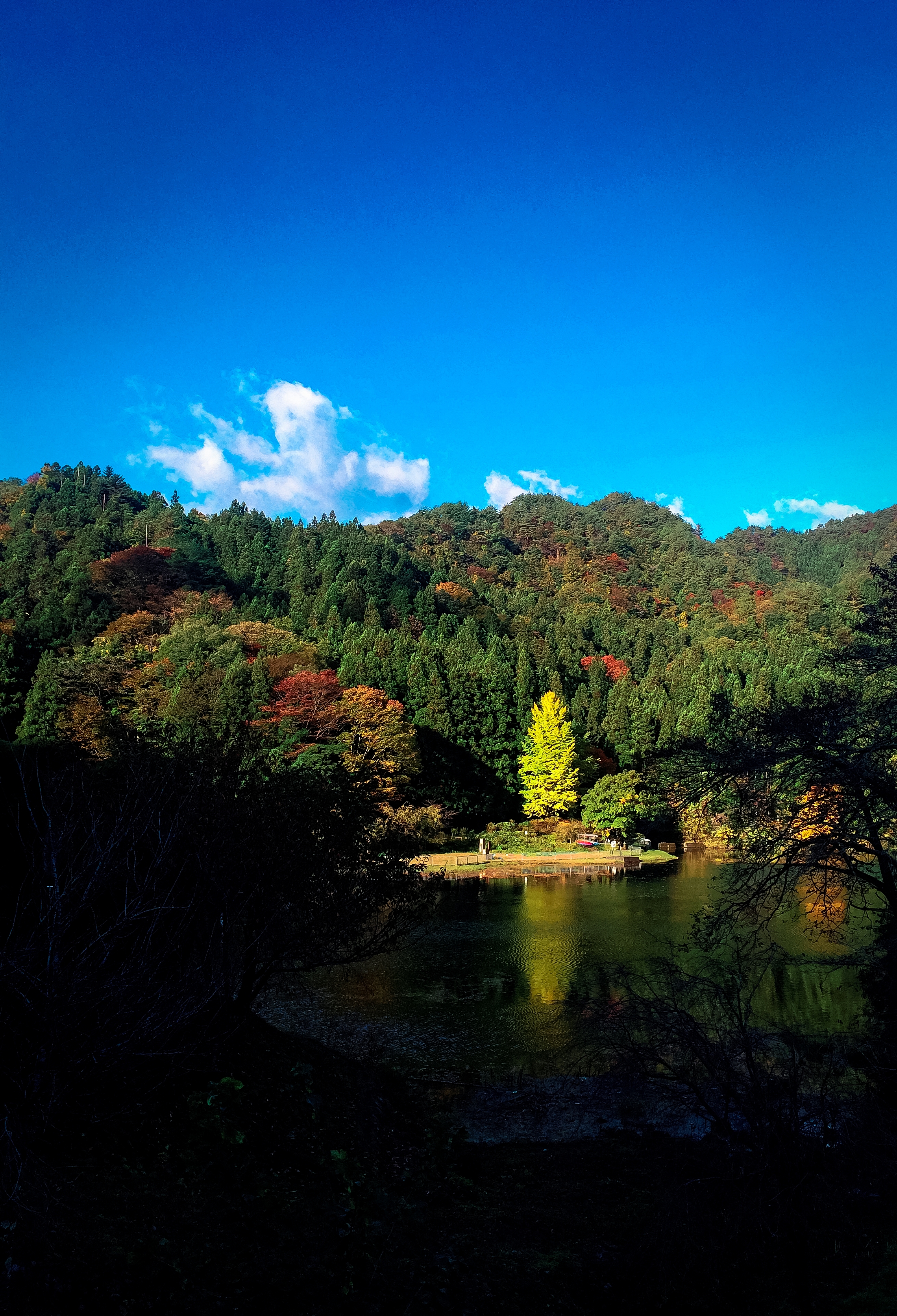
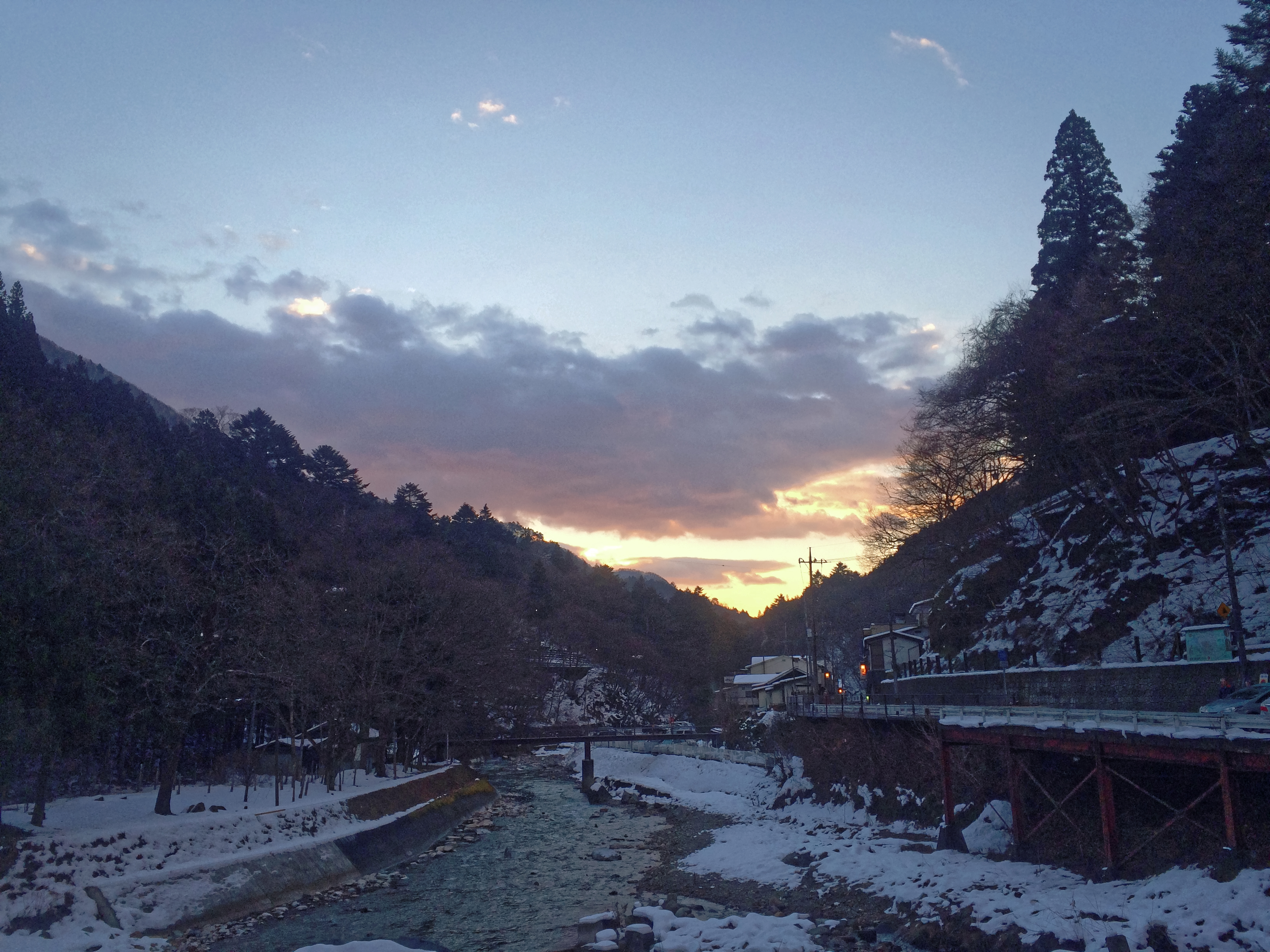
Lake Akaya, Sarugakyo Onsen
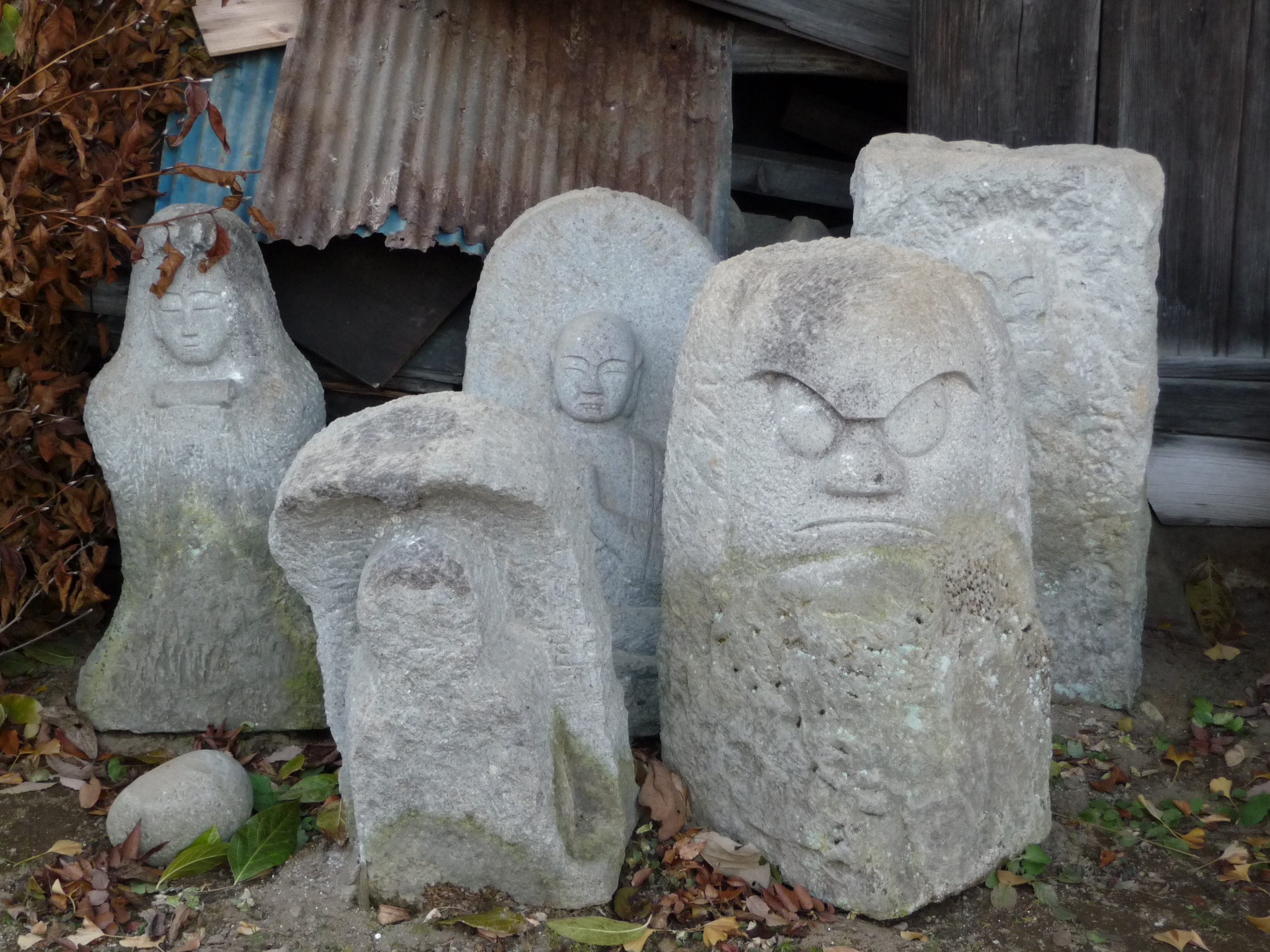
Stone Deities, Niiharu Village
Shrines, Niiharu Village
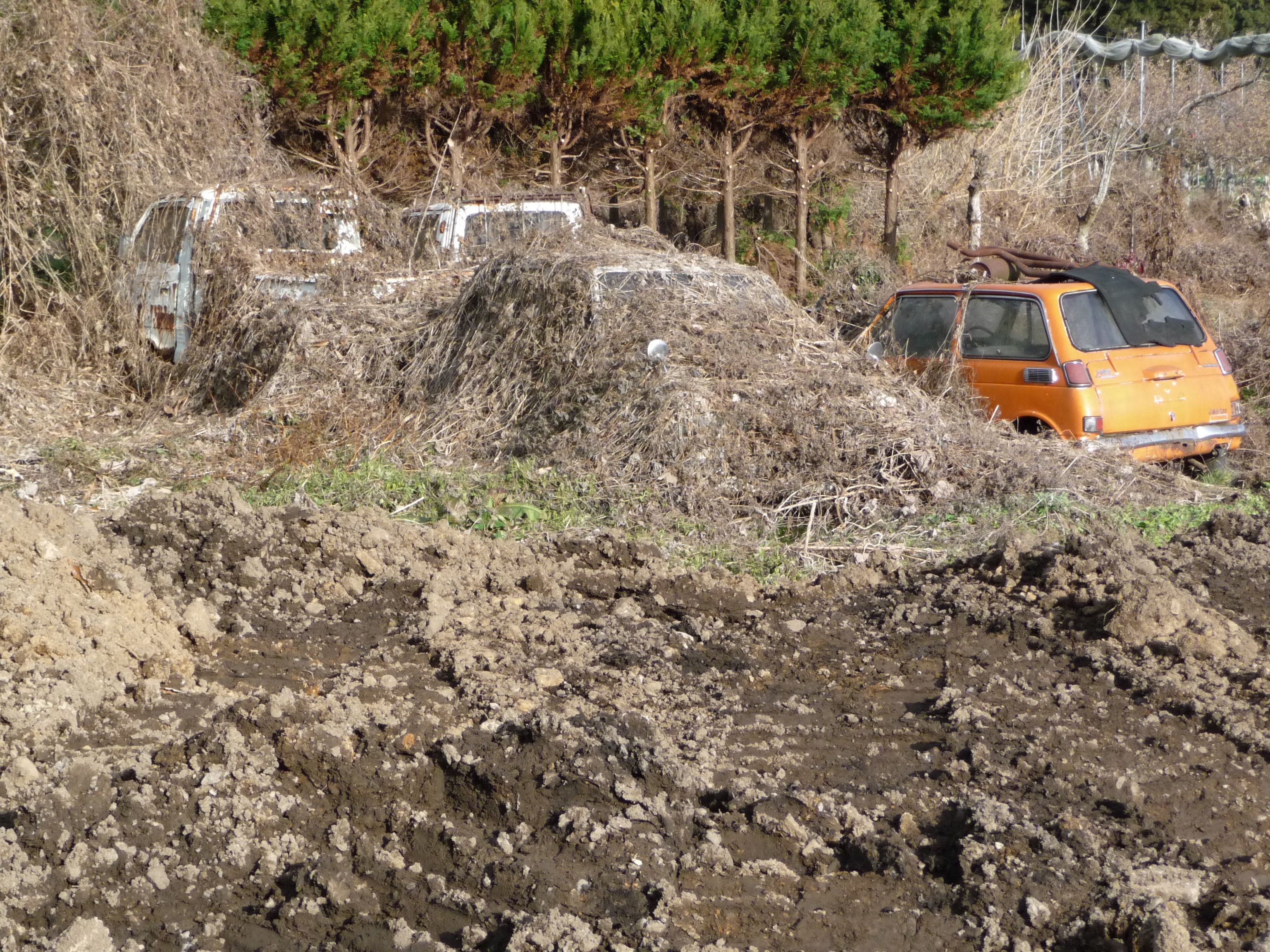
Buried Cars, Niiharu Village
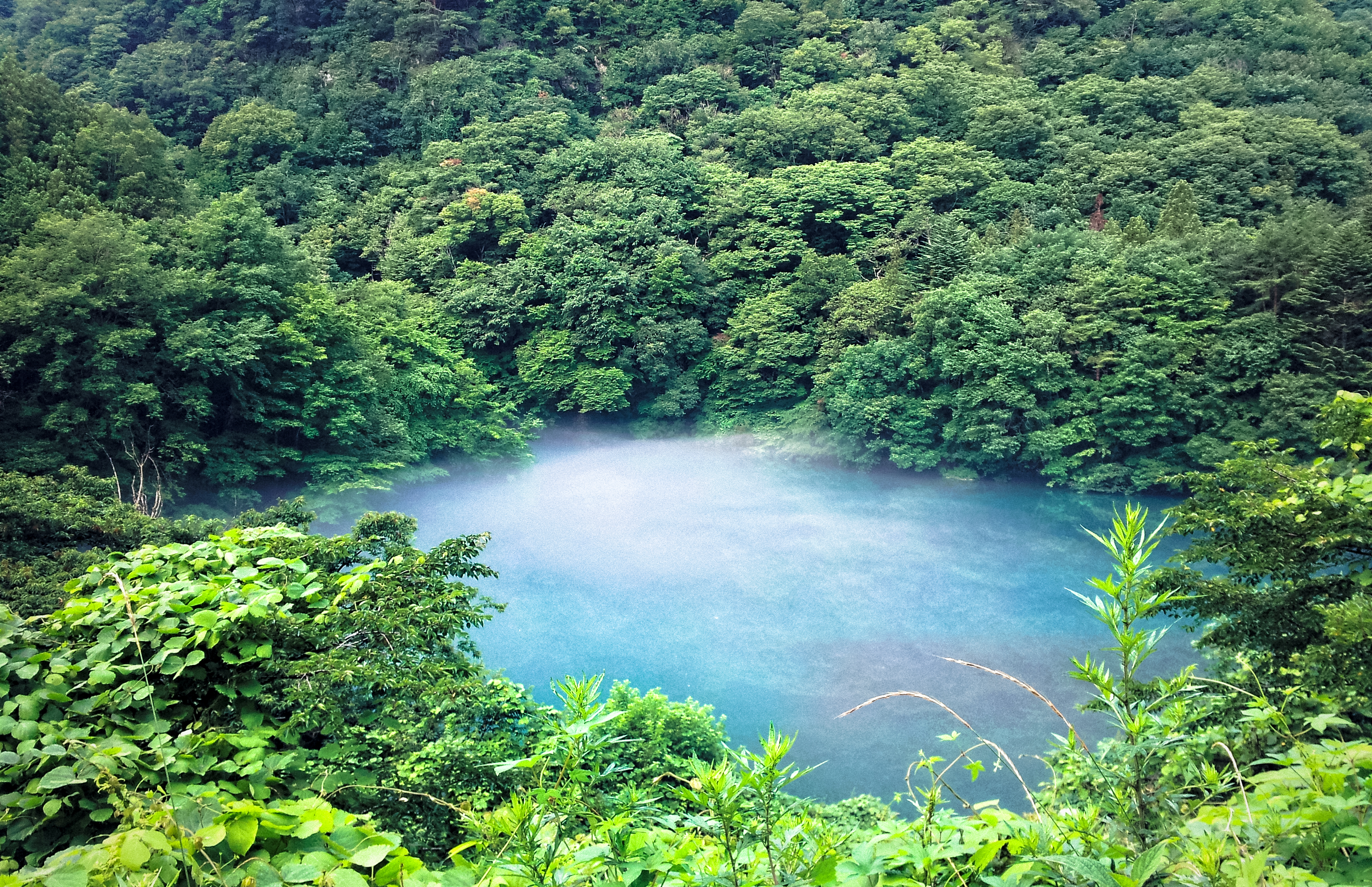
MIST2014-09-25 07.28
四万温泉 天気 2014/06/23 9:47
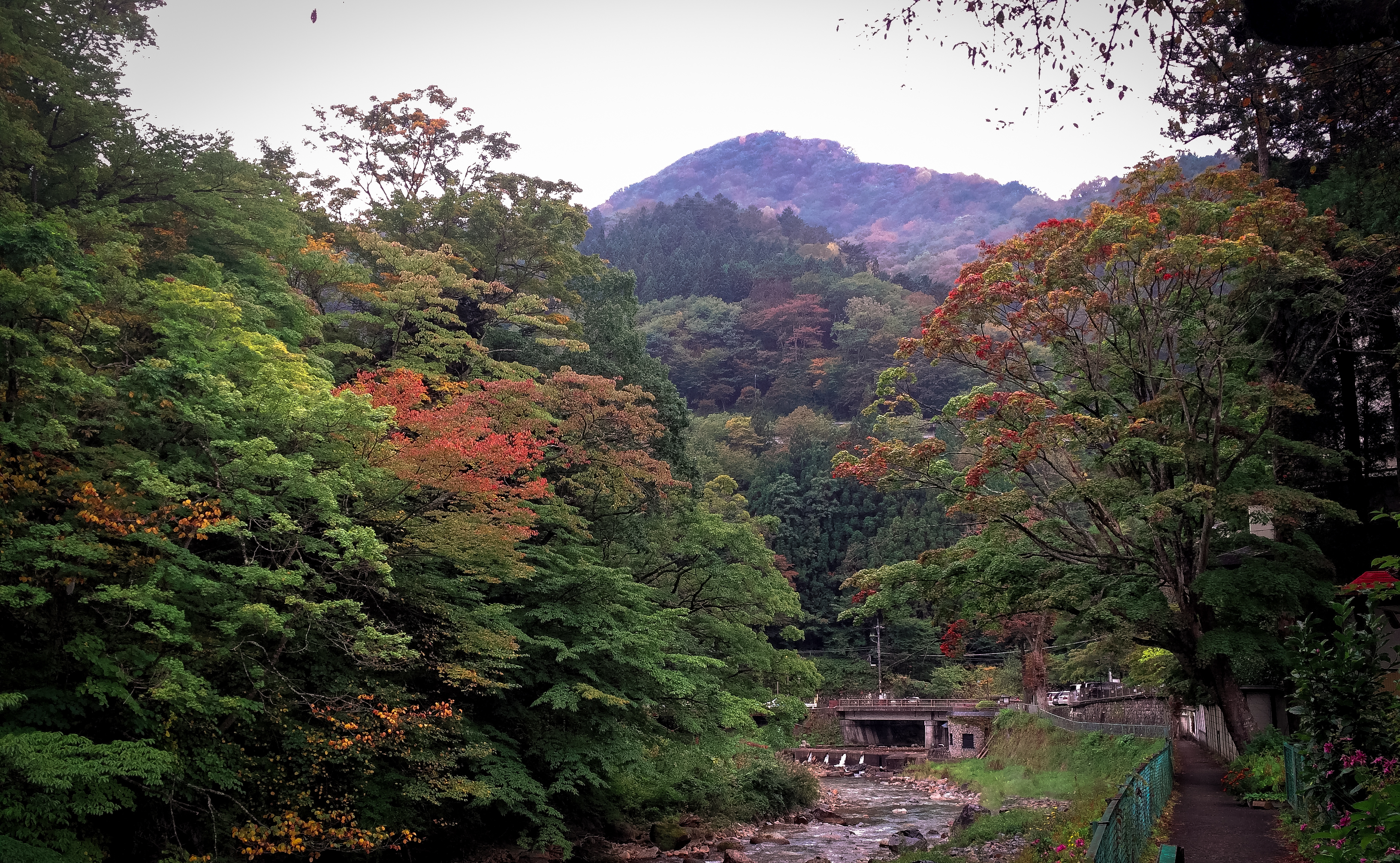
四万温泉 秋2014-10-28 07.50
Morning 2014 of the last day of the year. 2014-12-31 07.14
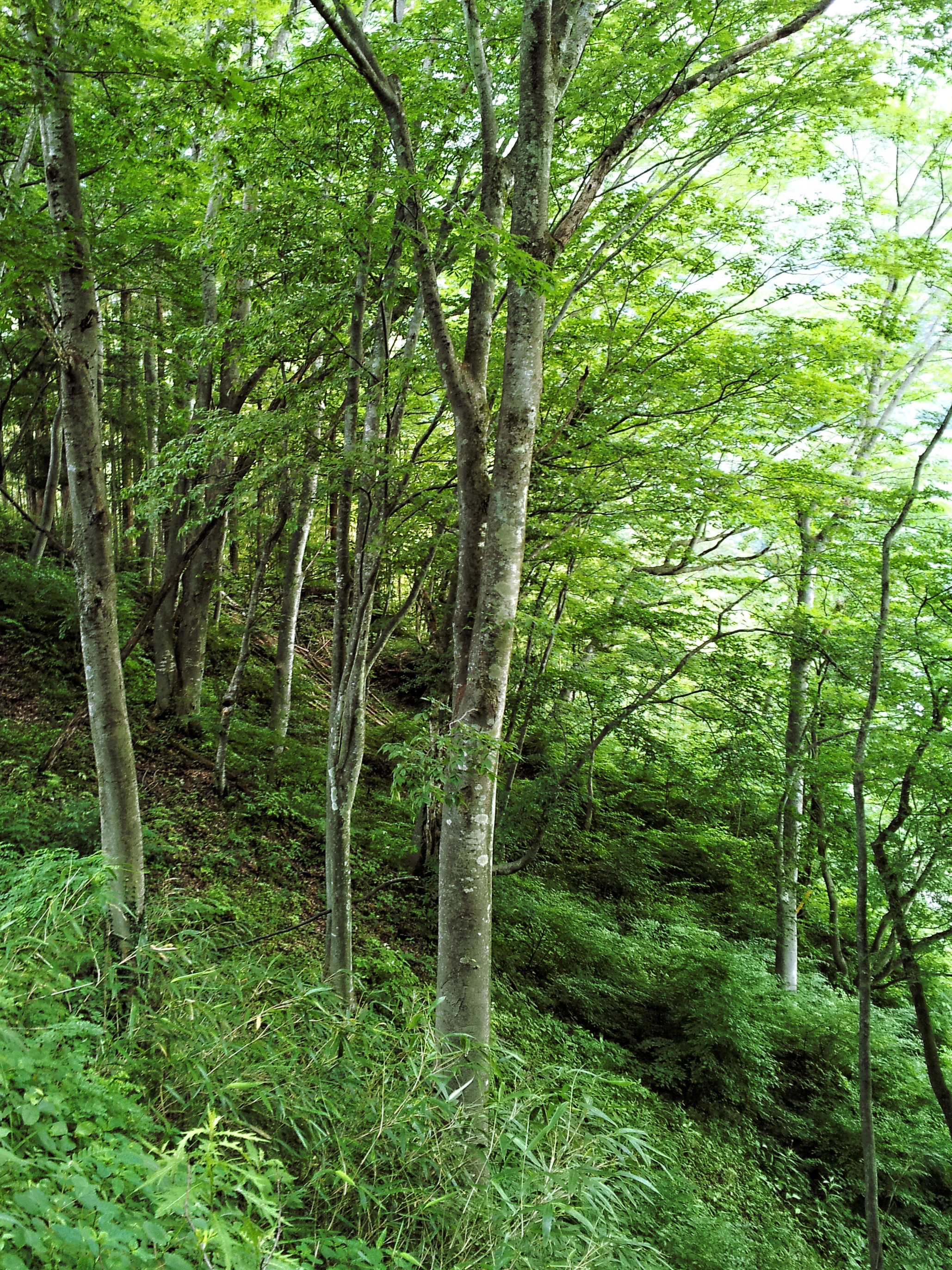
Morning2014年10月10日
snowy day
四万温泉の天気2014-08-12 07.51

四万温泉 2014/08/10 8:36
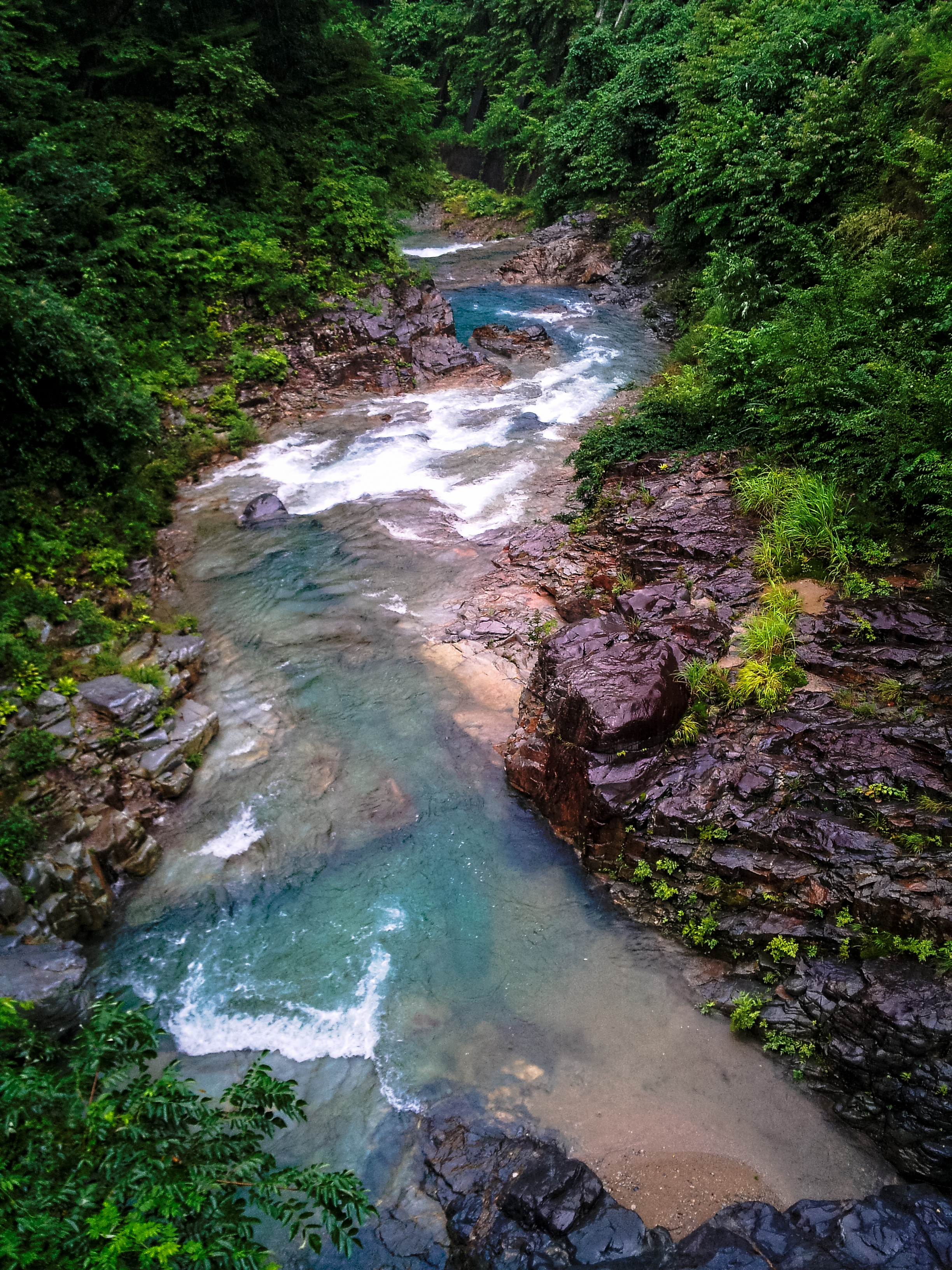
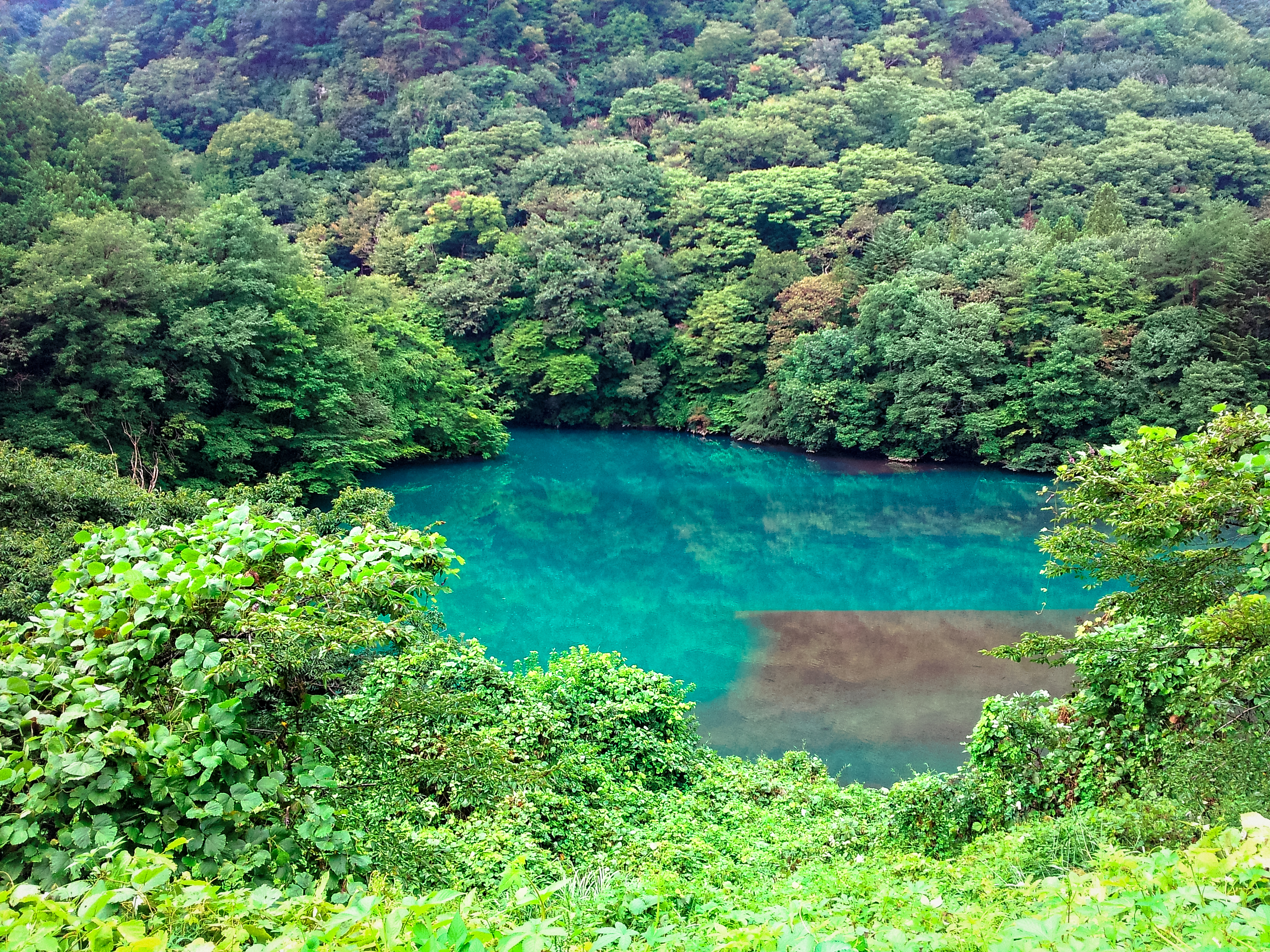
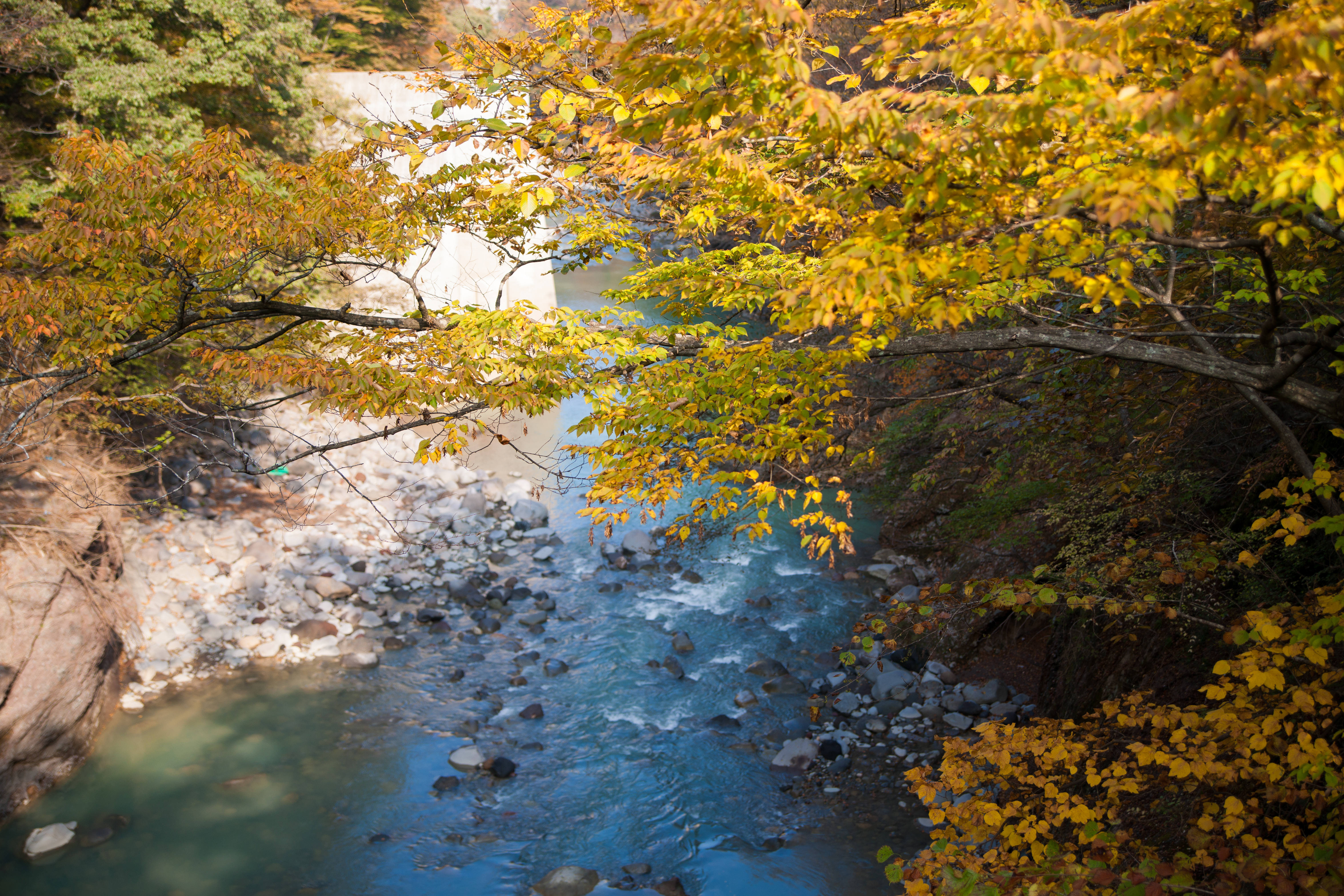
四万ブルー2014-07-15 07.23

Japanese Stonehenge
Coloring2014-10-13 08.08
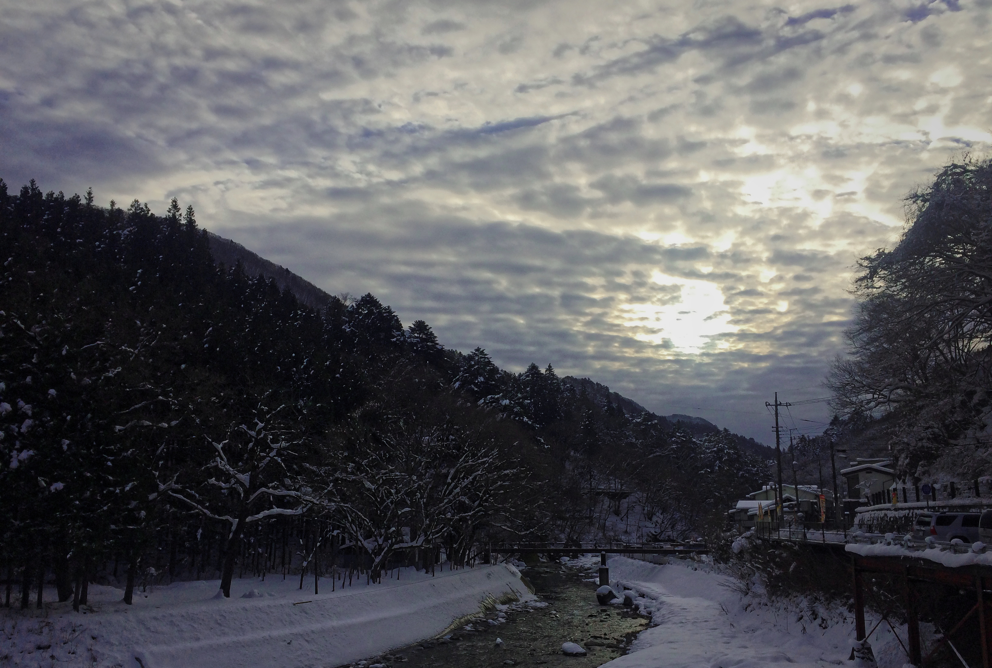
Morning of one day 2015-01-31 08.20
2014-12-20 08.09四万温泉
四万ブルー2014-08-23 07.46
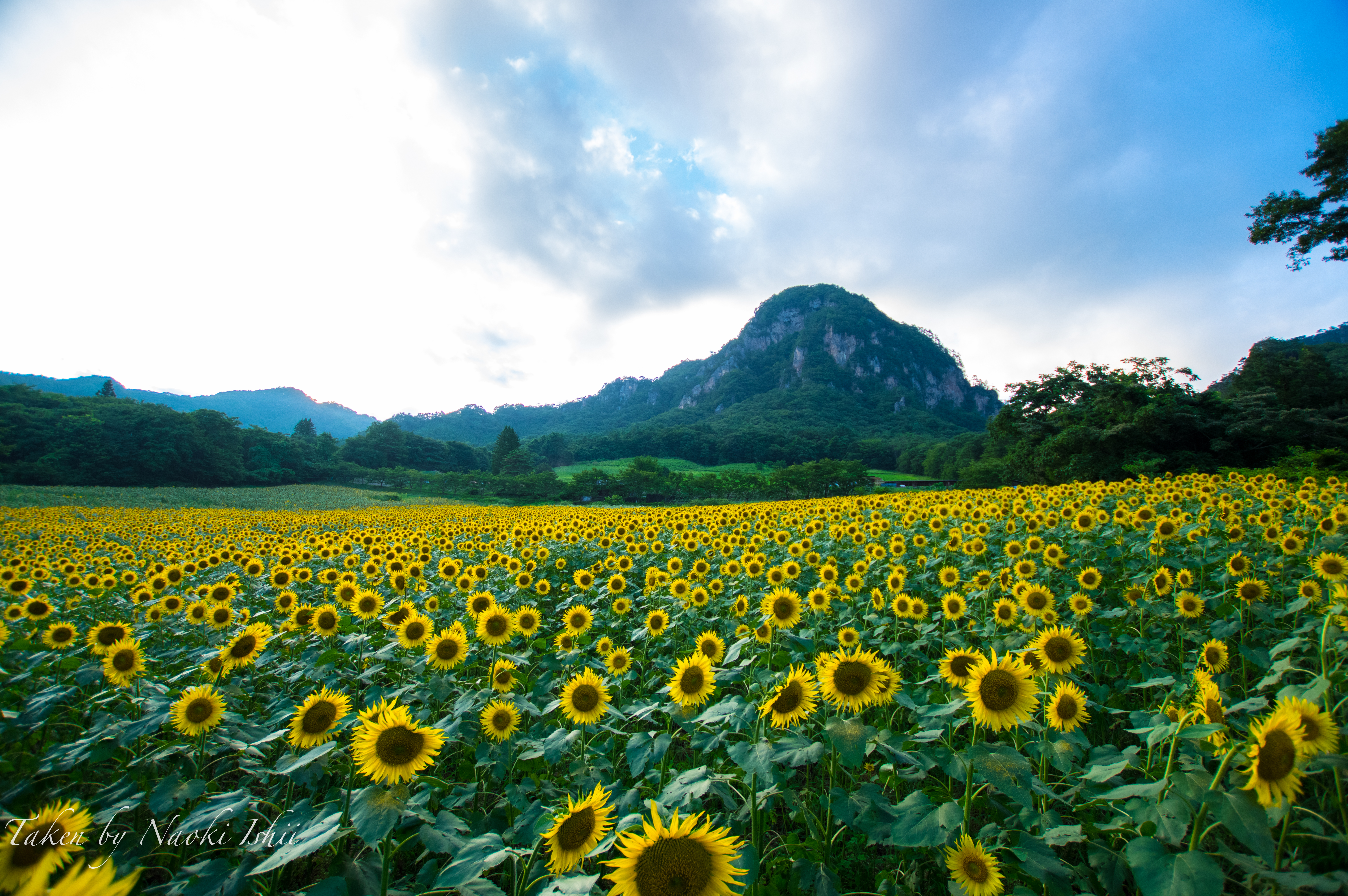
ひまわり
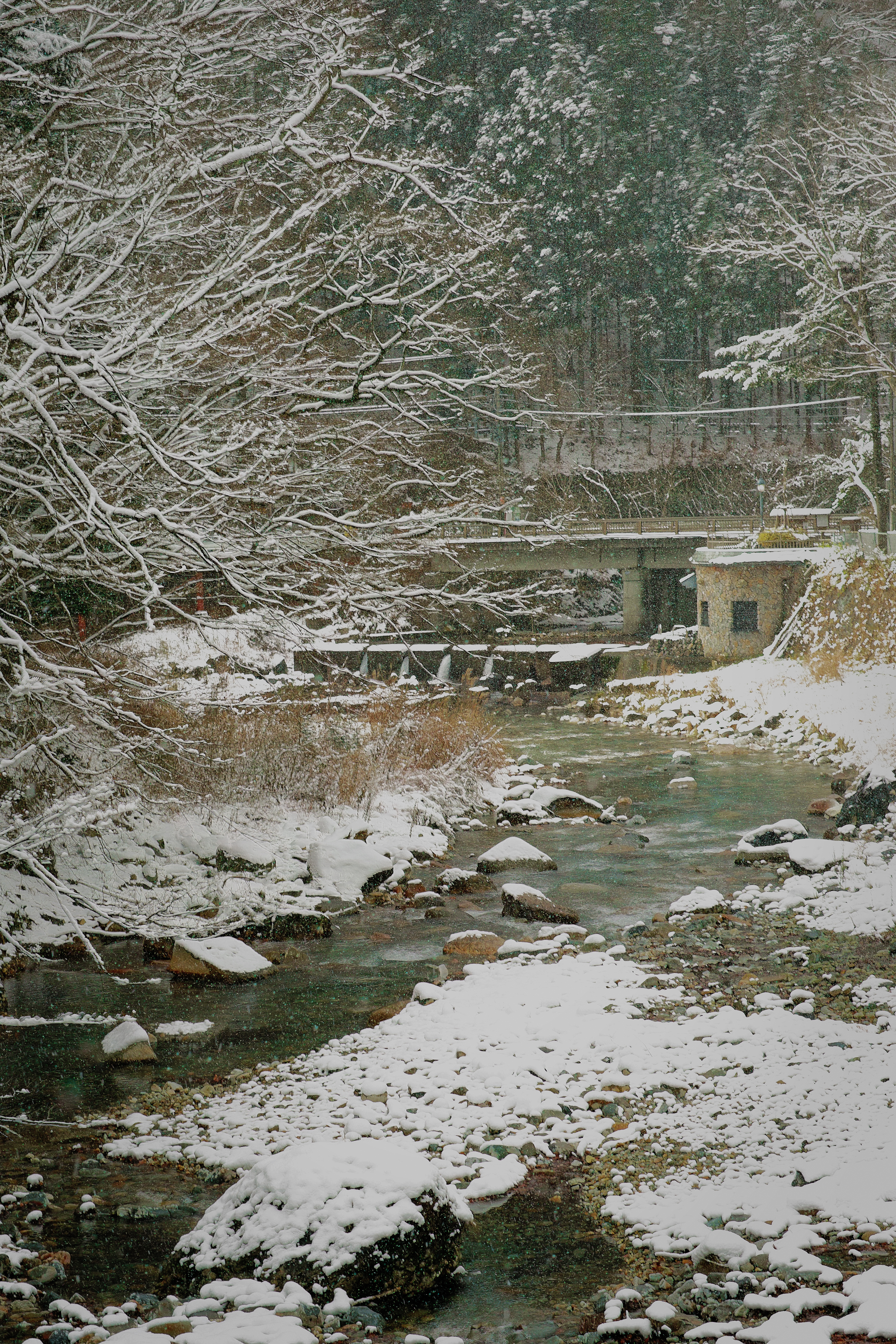
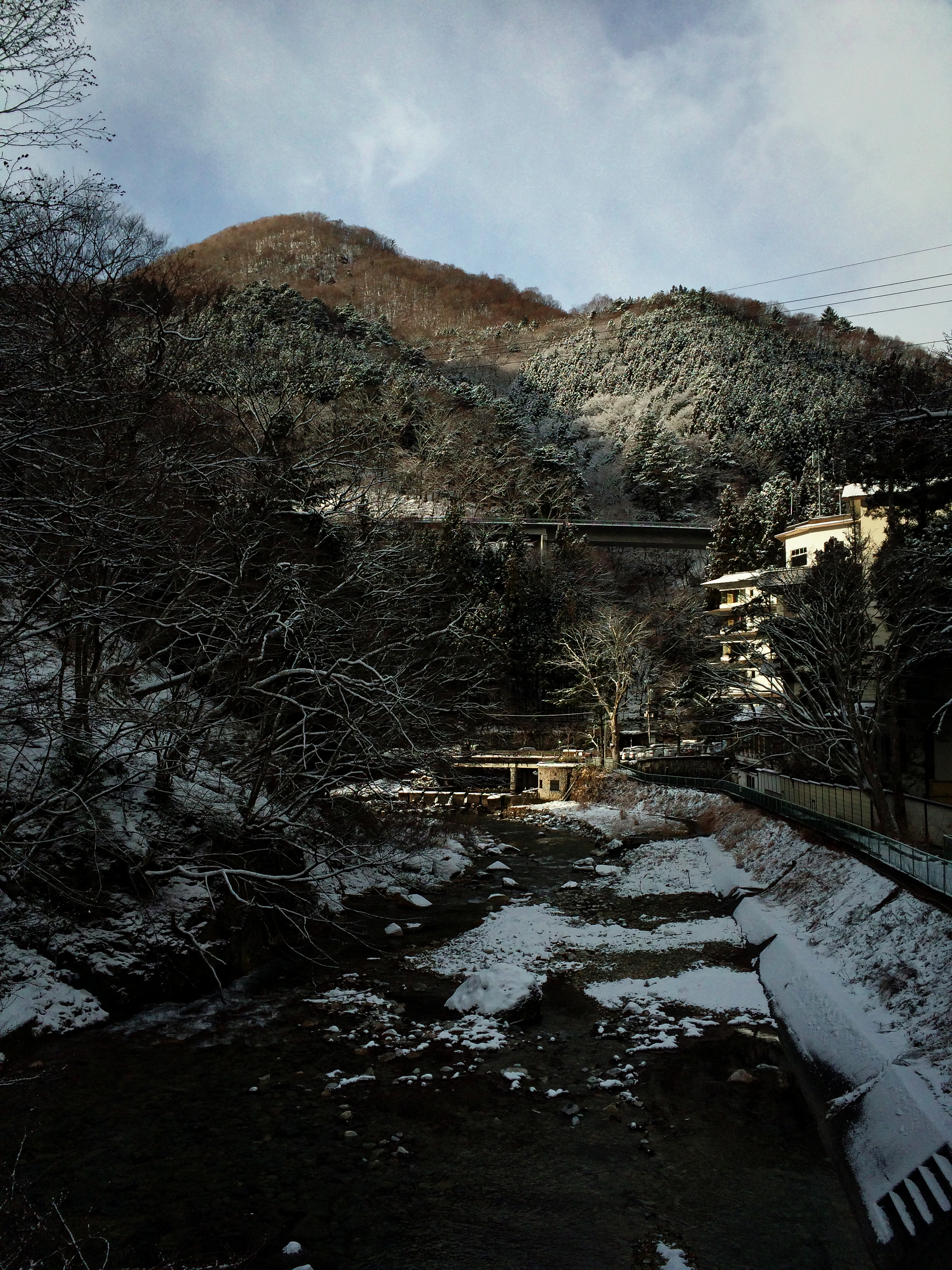
SNOW DAY 2014/12/15 11:15
四万温泉2014-07-16 09.49
#sunrise
高嶺ルビーに包まれて・・・
20131102_agatsuma-gorge_028
iPhone5sで撮影
Topographic Map of Gotanda, Nakanojō-machi, Agatsuma-gun, Gunma-ken -, Japan
Find elevation by address:

Places near Gotanda, Nakanojō-machi, Agatsuma-gun, Gunma-ken -, Japan:
Nakanojo
Higashiagatsuma
Agatsuma District
Takayama
Nakayama, Takayama-mura, Agatsuma-gun, Gunma-ken -, Japan
Aimata, Minakami-machi, Tone-gun, Gunma-ken -, Japan
379-1315
Kamizu
Icamp Japan
Naeba Ski Resort
Minakami
Mikuni
Kusatsu Hot Spring
Kusatsu Hot Spring
Kusatsu
Minakami Station
Mikuni, Yuzawa-machi, Minamiuonuma-gun, Niigata-ken -, Japan
-3 Yanagimachi, Numata-shi, Gunma-ken -, Japan
Numata
Numasumachi, Numata-shi, Gunma-ken -, Japan
Recent Searches:
- Elevation of Corso Fratelli Cairoli, 35, Macerata MC, Italy
- Elevation of Tallevast Rd, Sarasota, FL, USA
- Elevation of 4th St E, Sonoma, CA, USA
- Elevation of Black Hollow Rd, Pennsdale, PA, USA
- Elevation of Oakland Ave, Williamsport, PA, USA
- Elevation of Pedrógão Grande, Portugal
- Elevation of Klee Dr, Martinsburg, WV, USA
- Elevation of Via Roma, Pieranica CR, Italy
- Elevation of Tavkvetili Mountain, Georgia
- Elevation of Hartfords Bluff Cir, Mt Pleasant, SC, USA