Elevation of Aimata, Minakami-machi, Tone-gun, Gunma-ken -, Japan
Location: Japan > Niigata Prefecture > Tone District > Minakami >
Longitude: 138.901044
Latitude: 36.7178802
Elevation: 613m / 2011feet
Barometric Pressure: 94KPa
Elevation Map:
Satellite Map:
Related Photos:
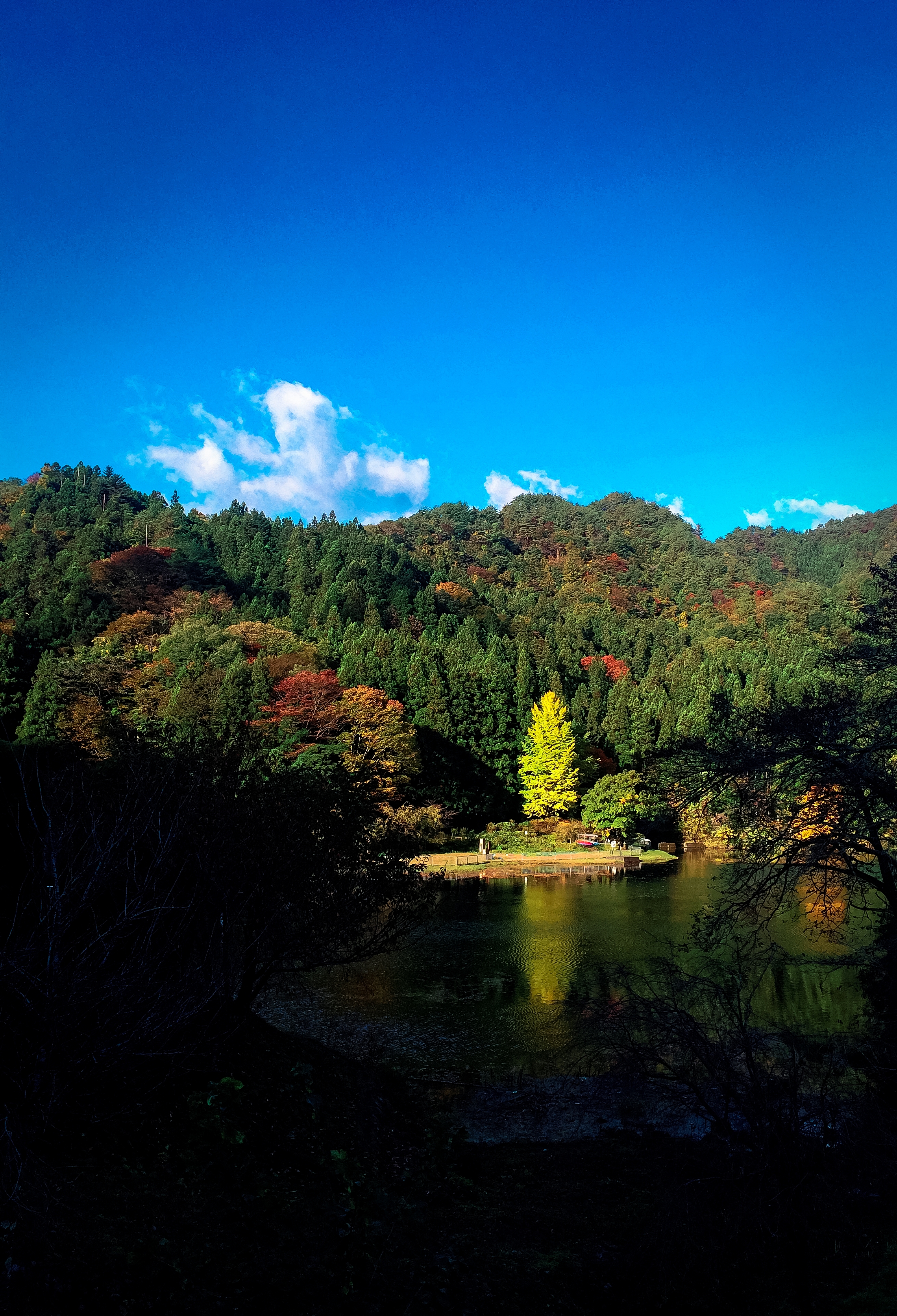
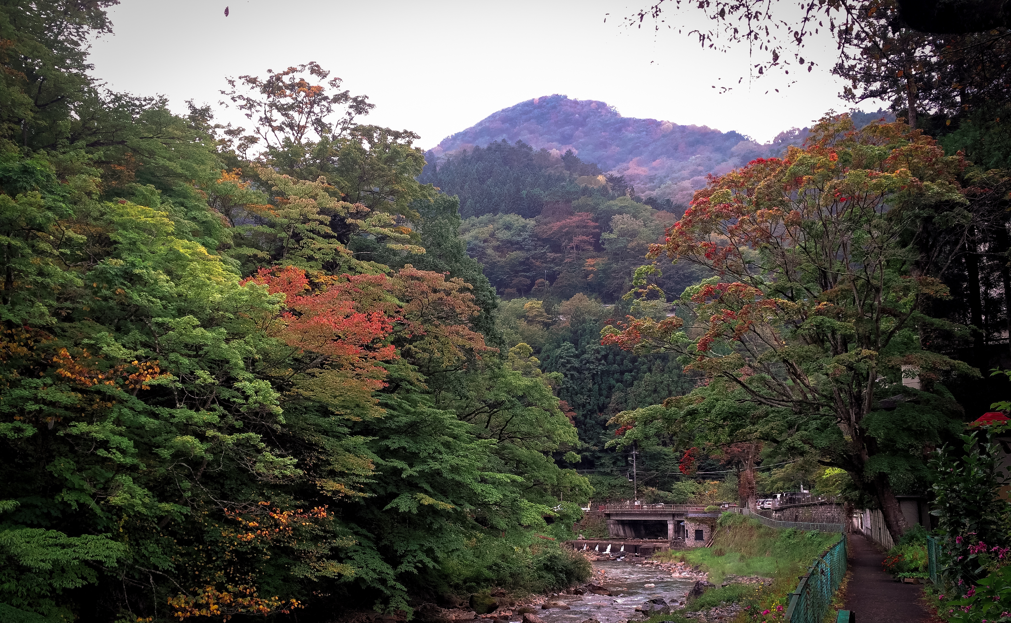
Minakami view
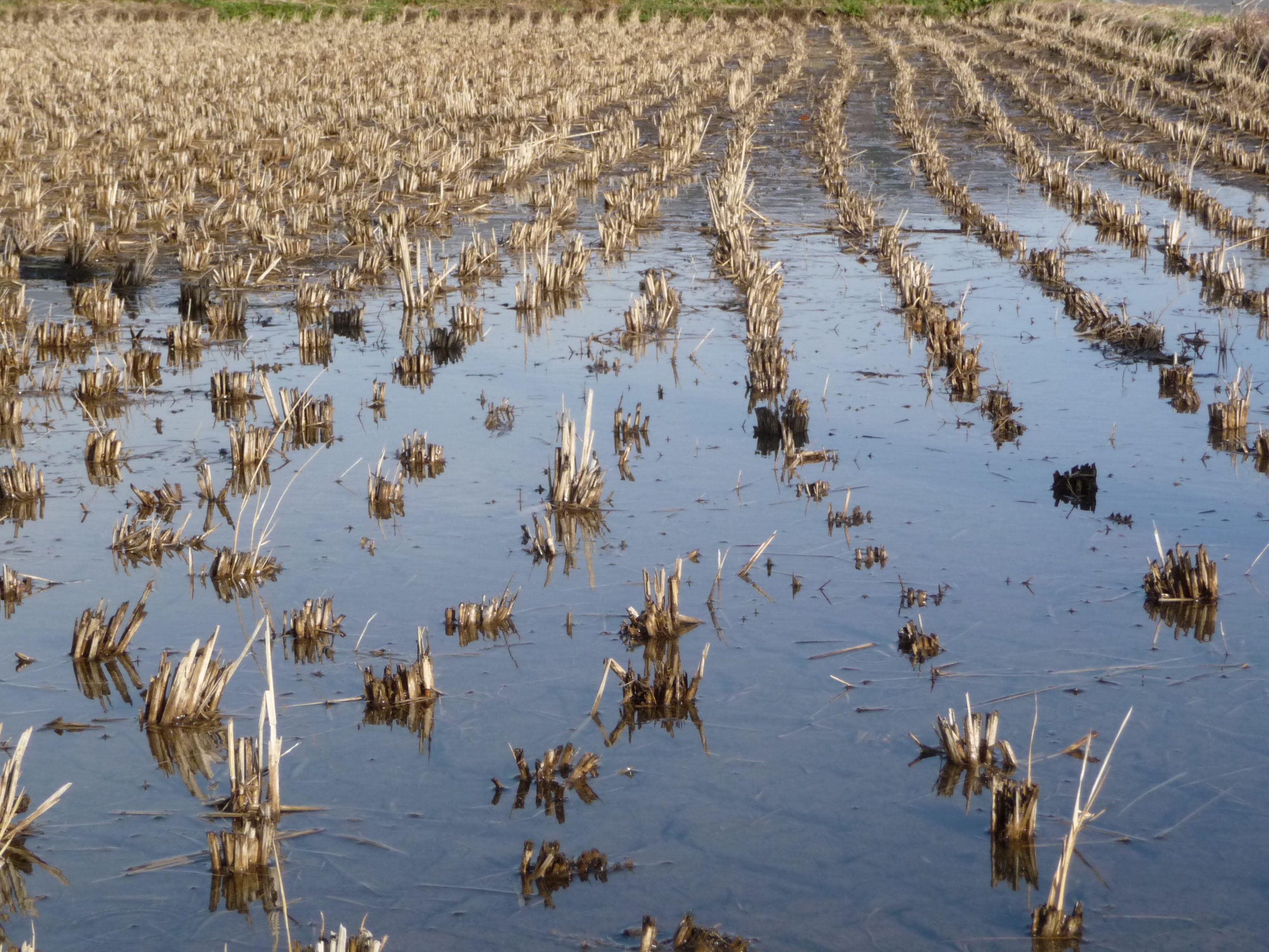
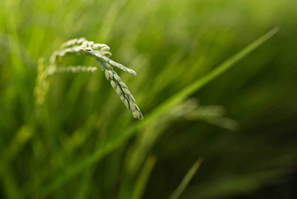
Rice Paddy, Niiharu Village
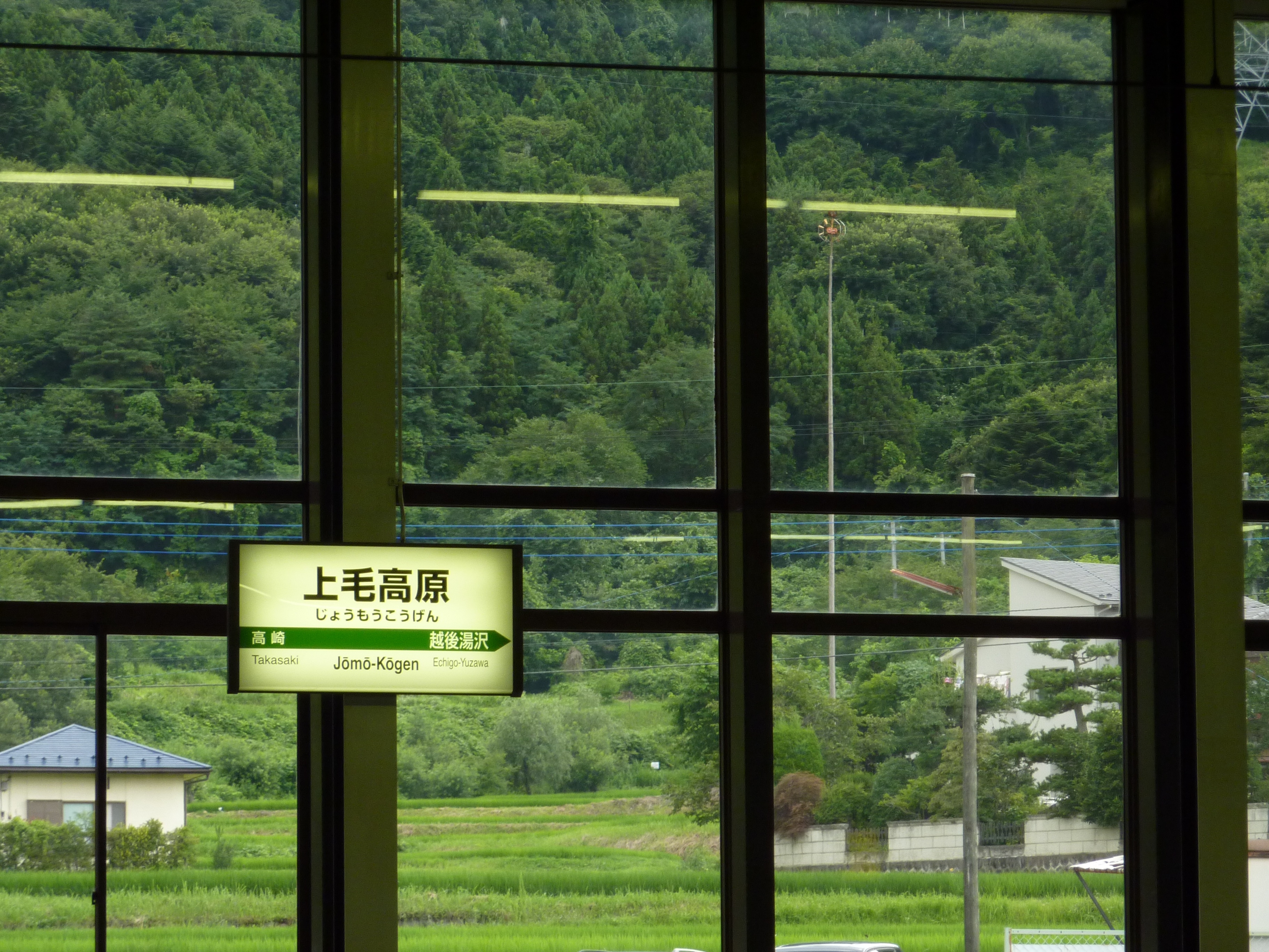
Jomo-Kogen station had beautiful panorama windows
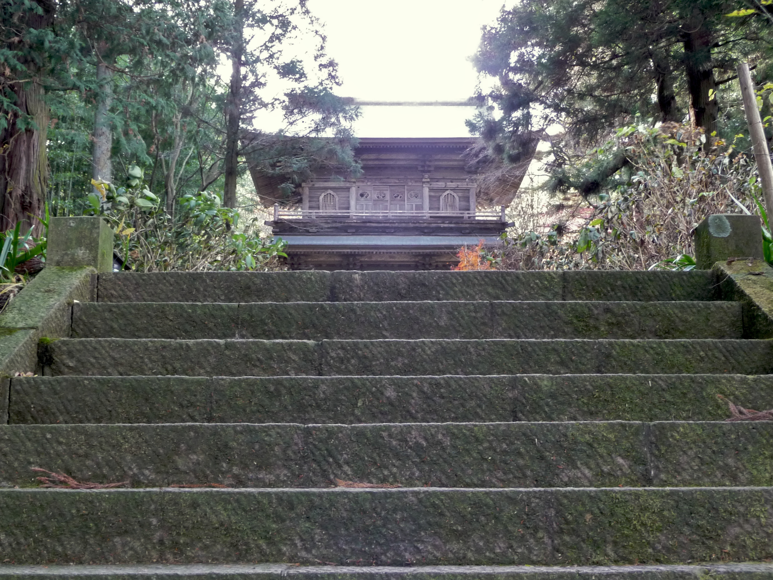
Tainaiji Temple Steps, Niiharu Village
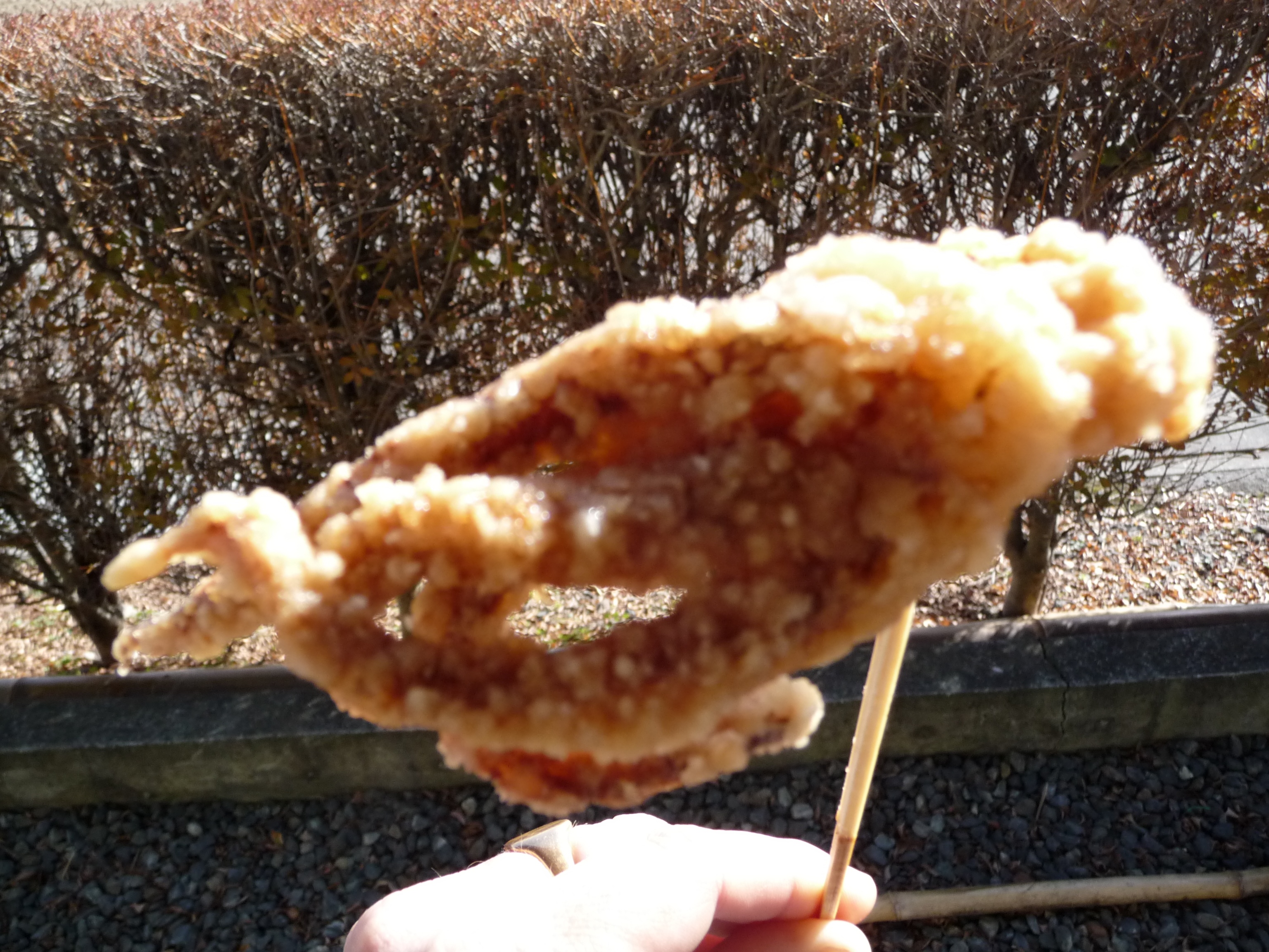
Deep Fried Octopus
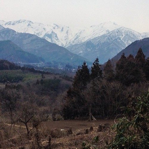
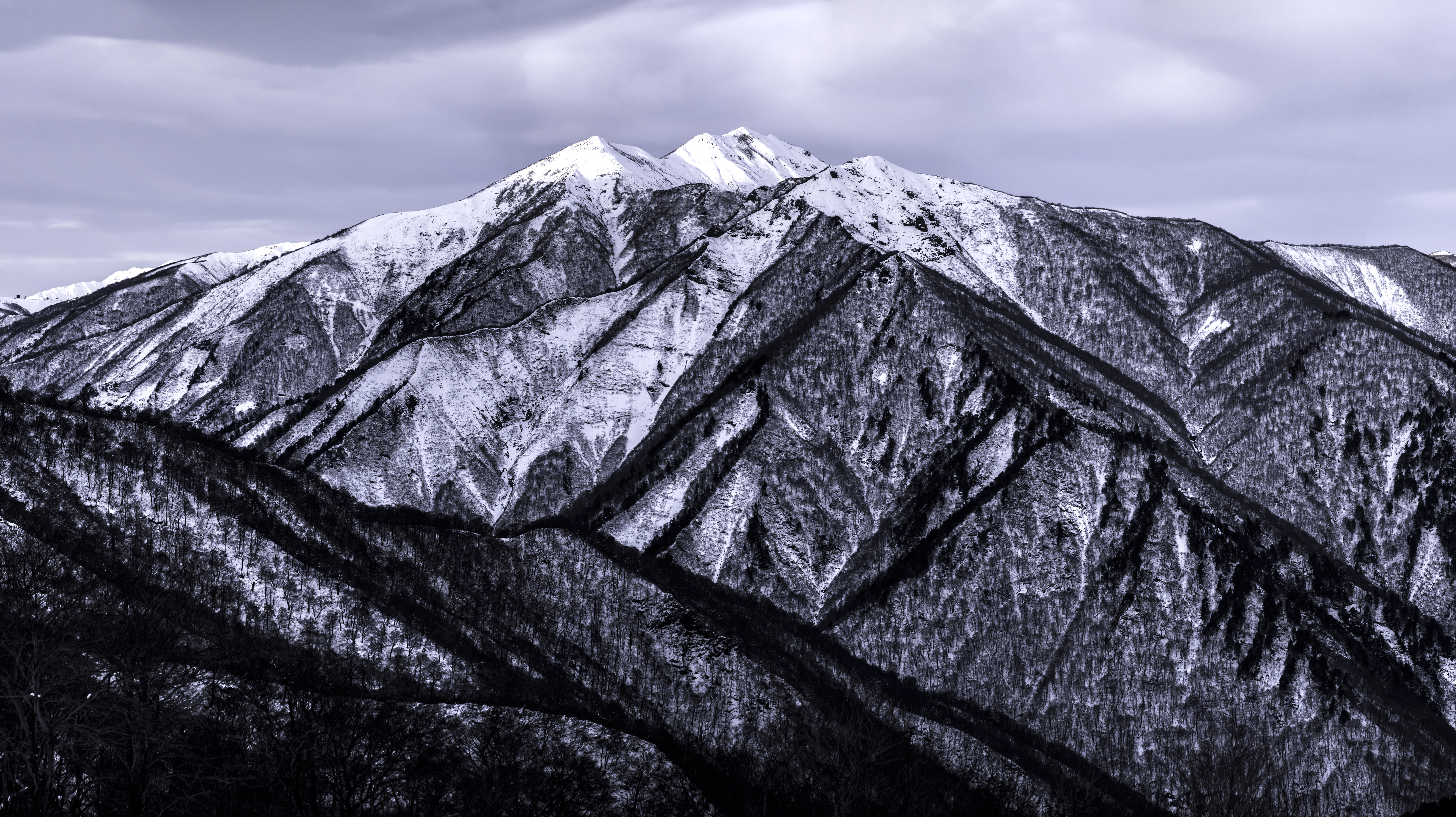
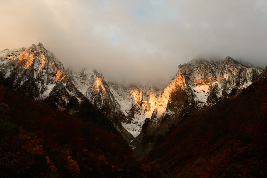
View of Mt. #tanigawadake from #minakami #gunma #japan

Craft Studio, Takumi-no-sato
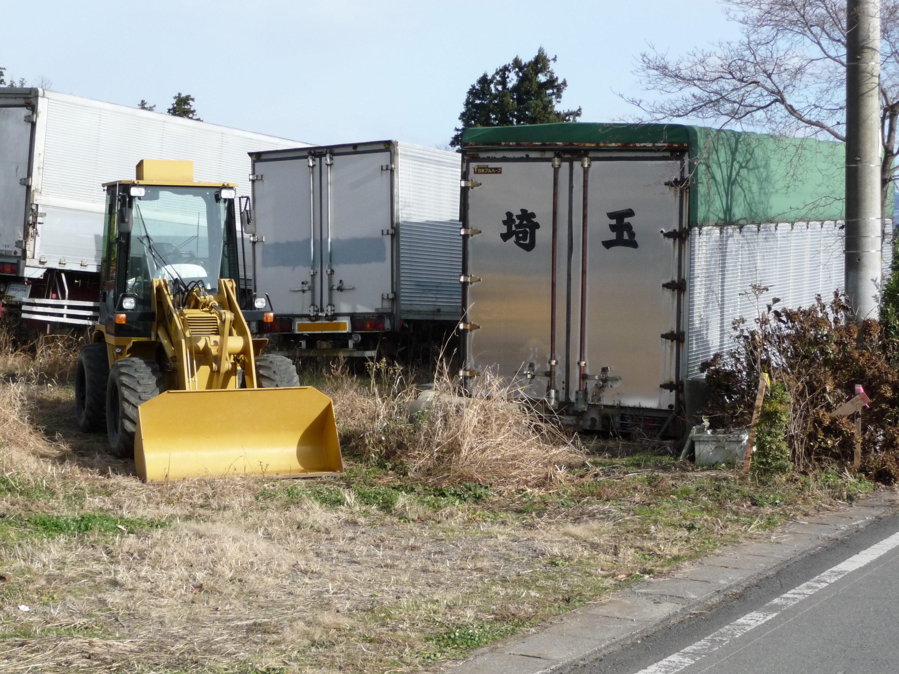
Digger, Niiharu Village

7-11 Snacks
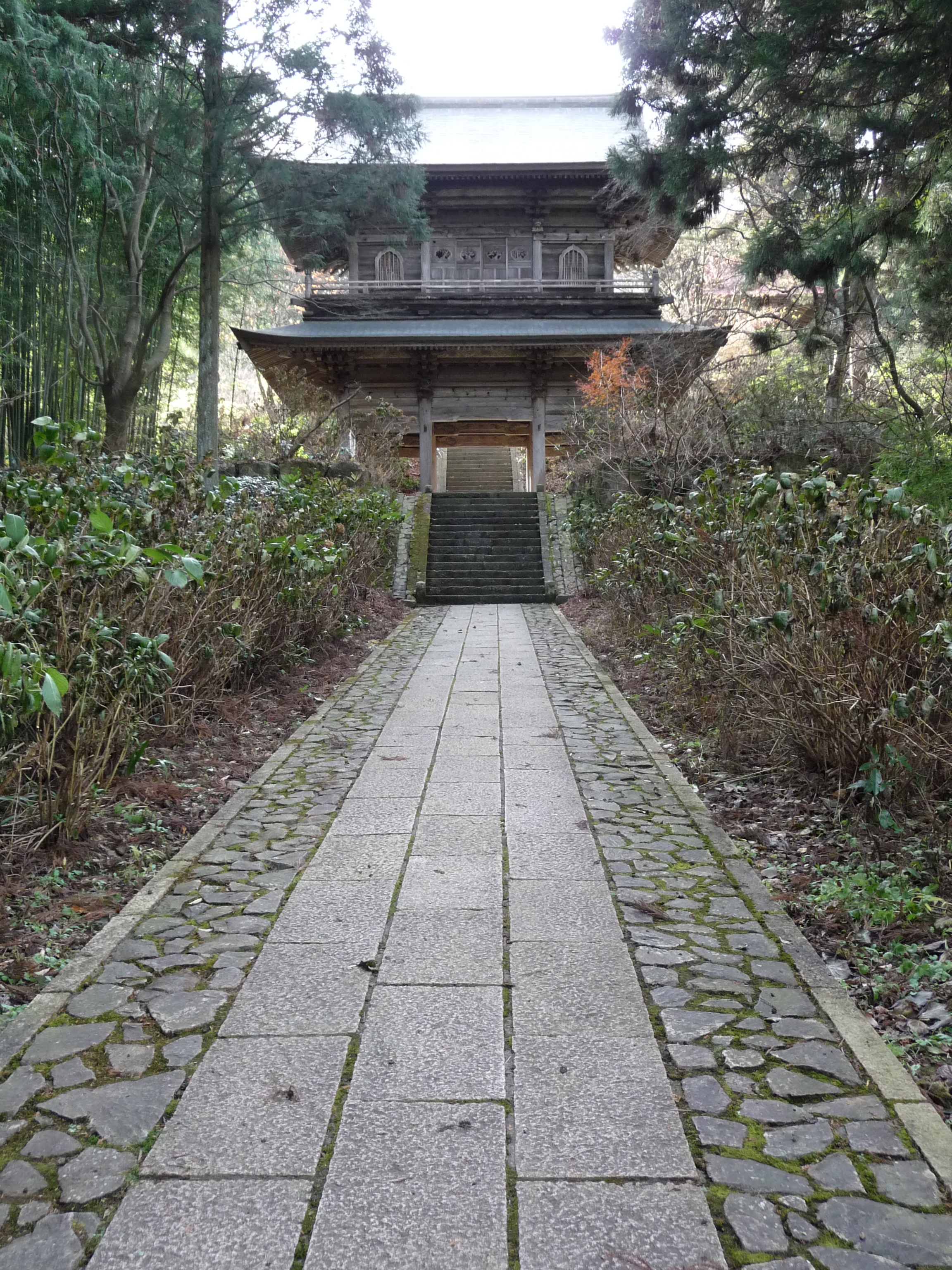
Tainaiji Temple Gate, Niiharu Village
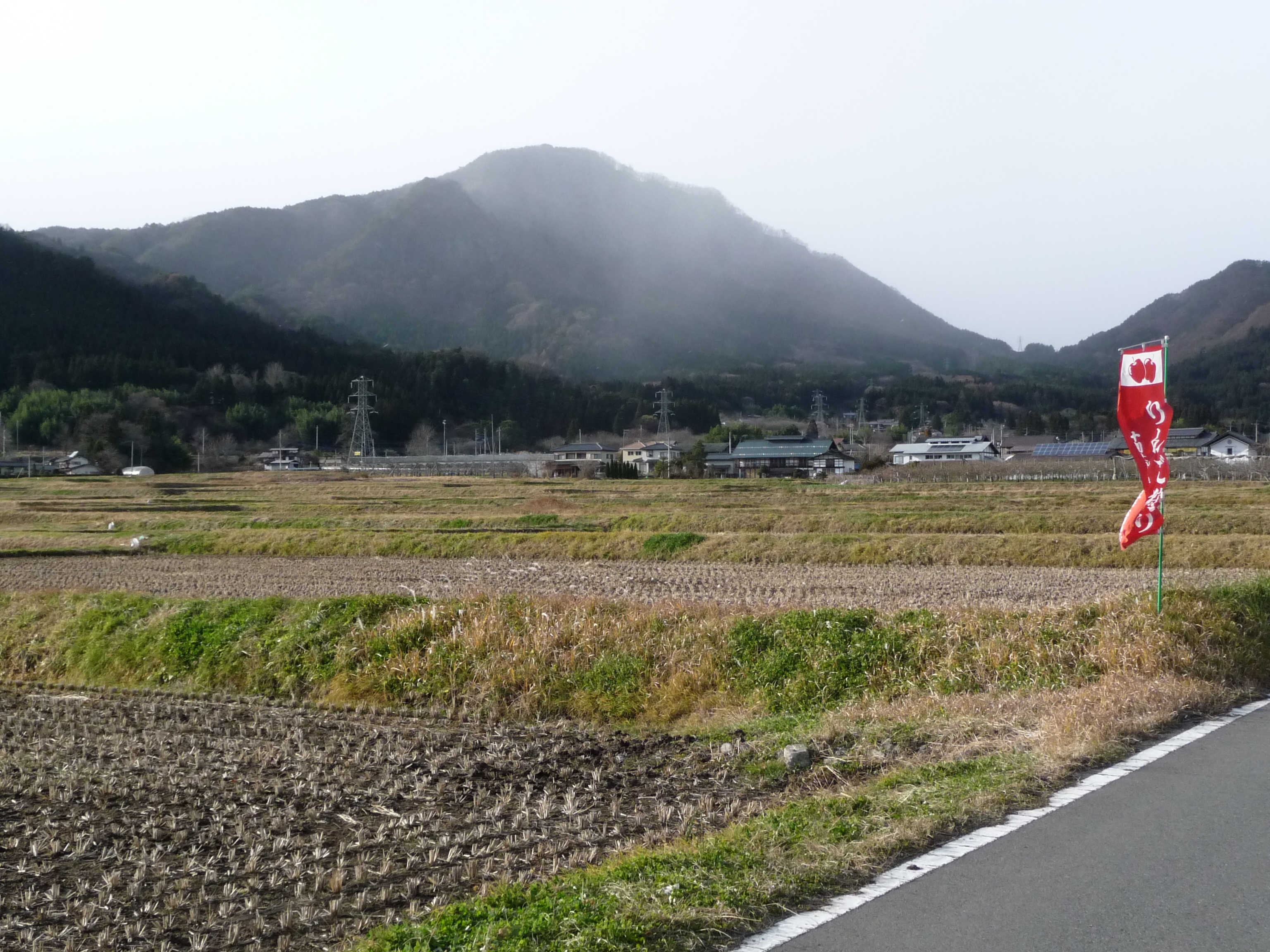
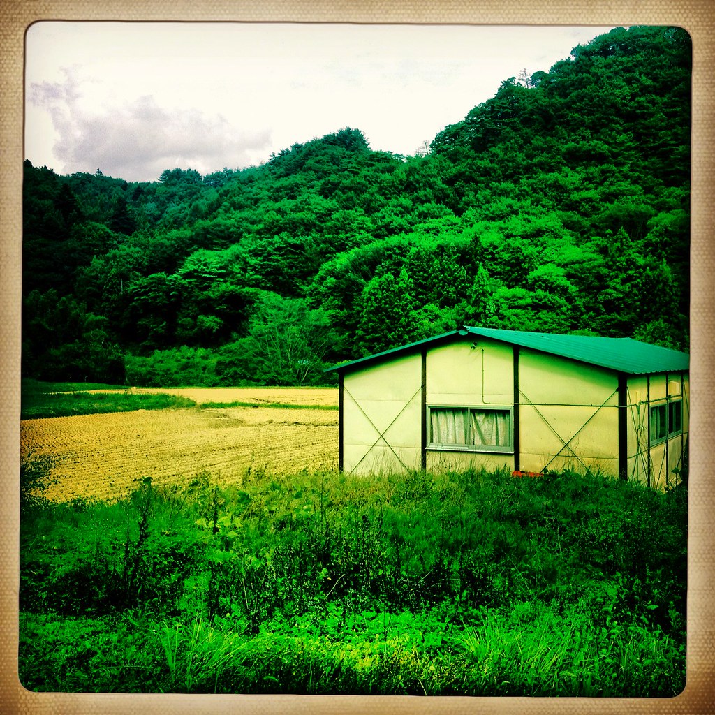
Rice Fields & Mountain, Niiharu Village
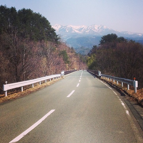
Usually can't bear the boredom of #running on #road , but with this view I can! #numata #gunma #japan
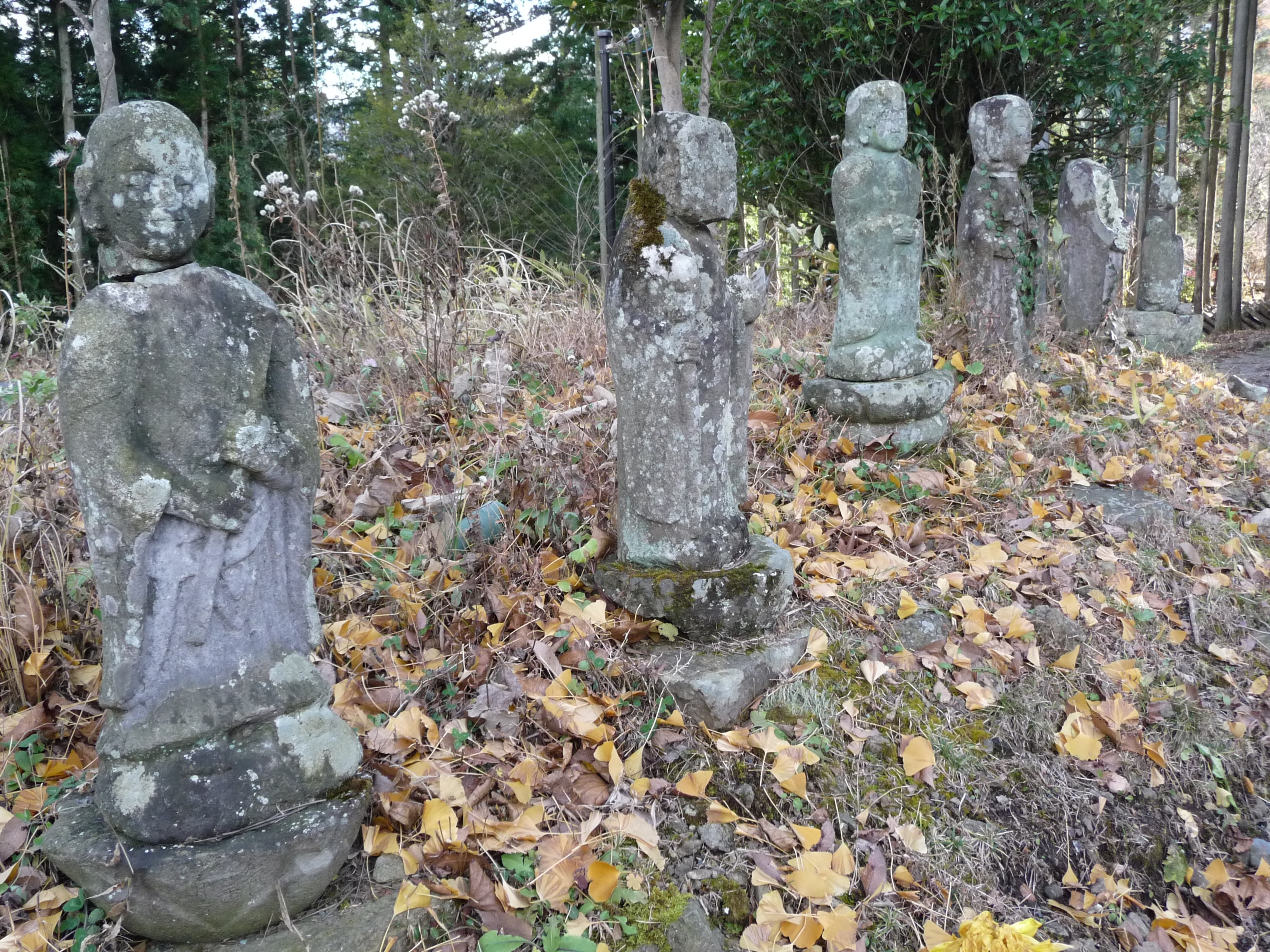
Line of Stone Deities, Niiharu Village

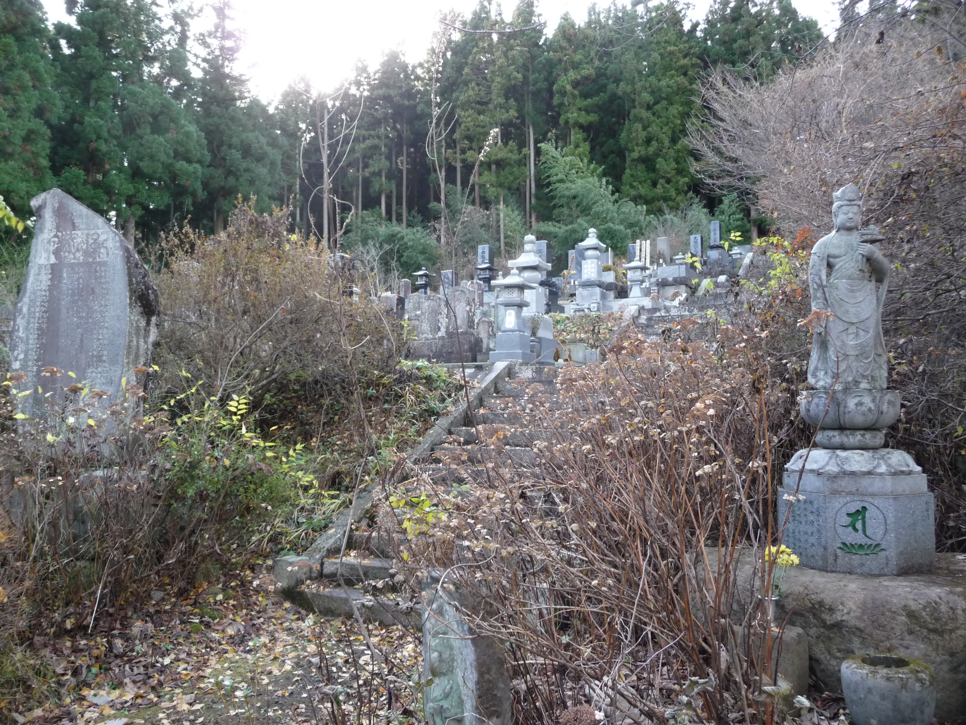
Tainaiji Temple, Niiharu Village
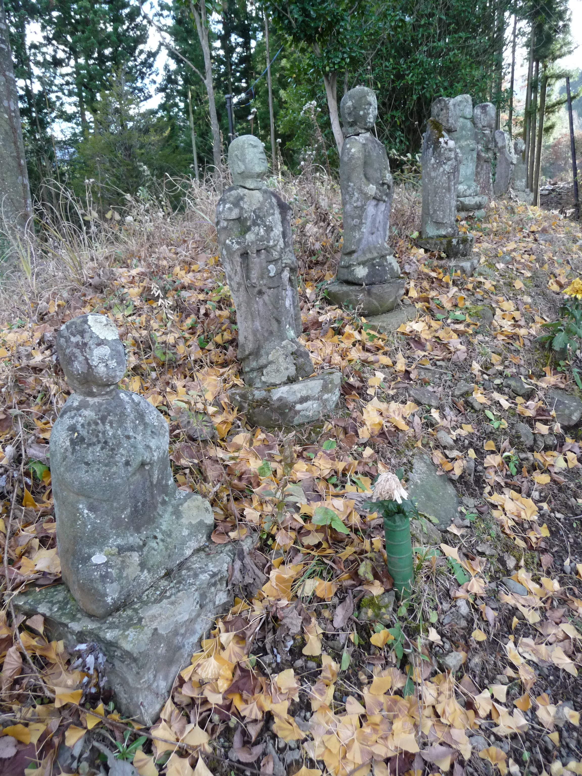
Stone Deities on Mound, Niiharu Village
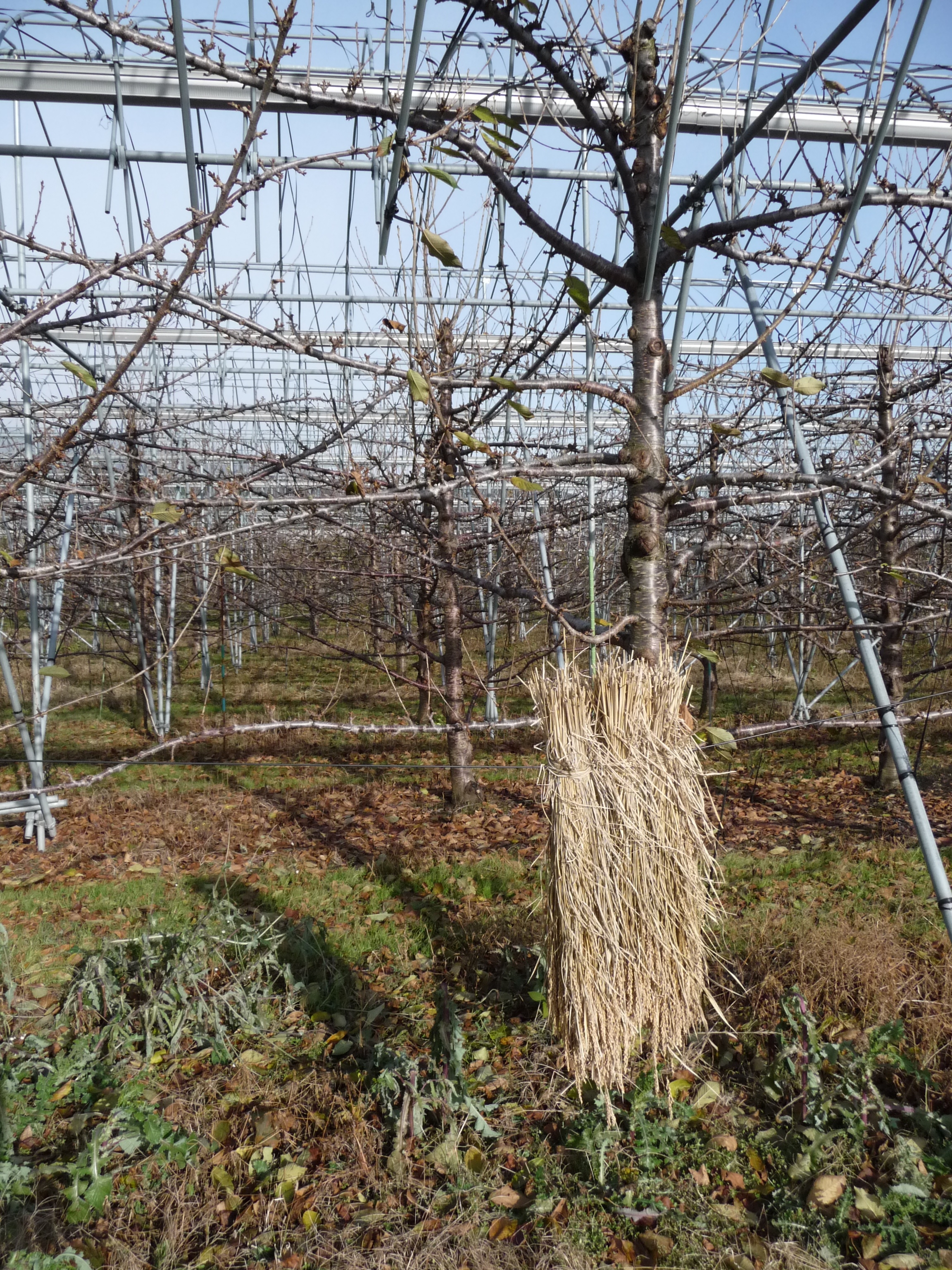
Orchard, Niiharu Village

Heatpads for Seals?

Do You Realise...?

I always wanted to try one...
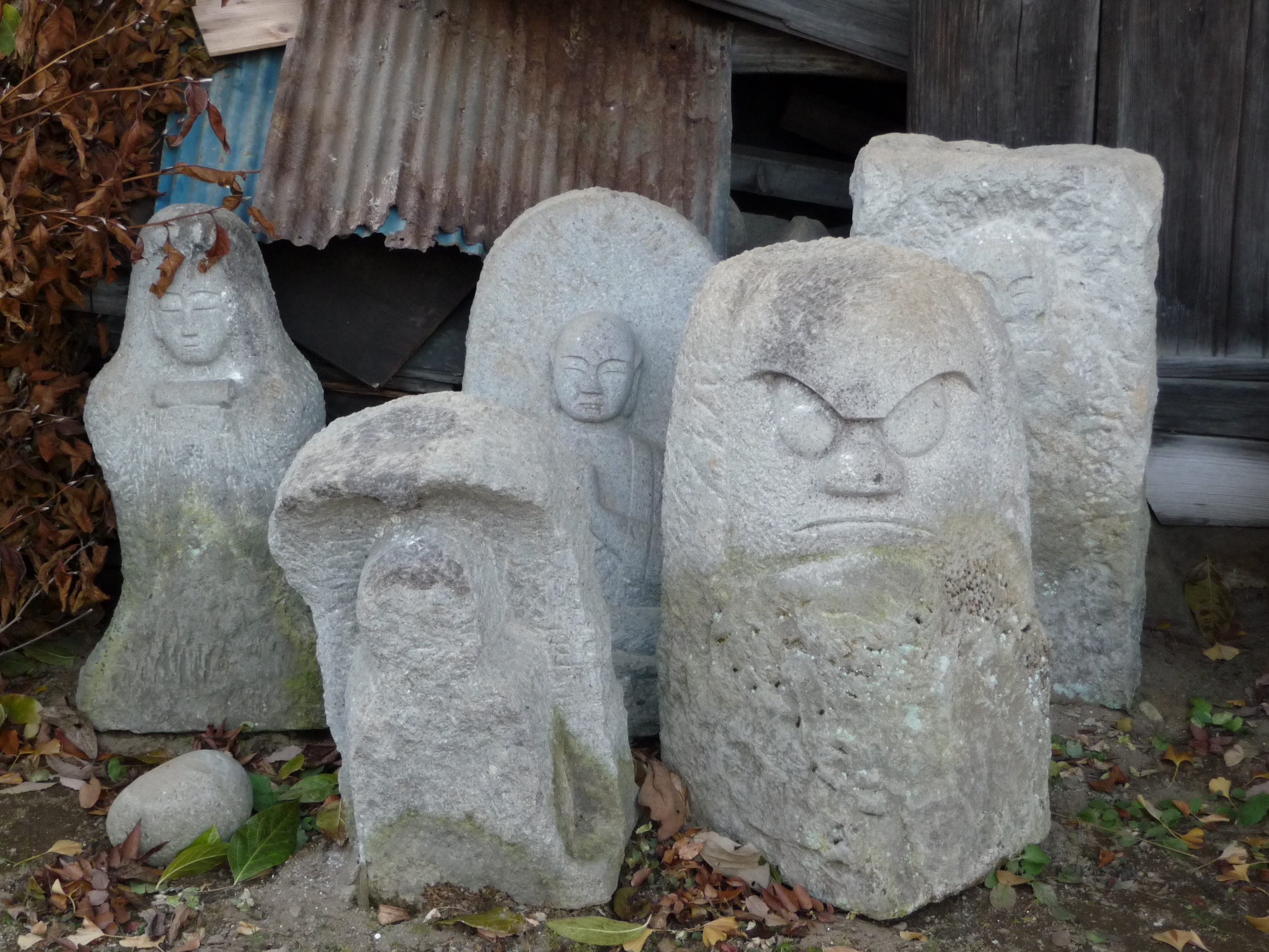
Stone Deities, Niiharu Village
Shrines, Niiharu Village
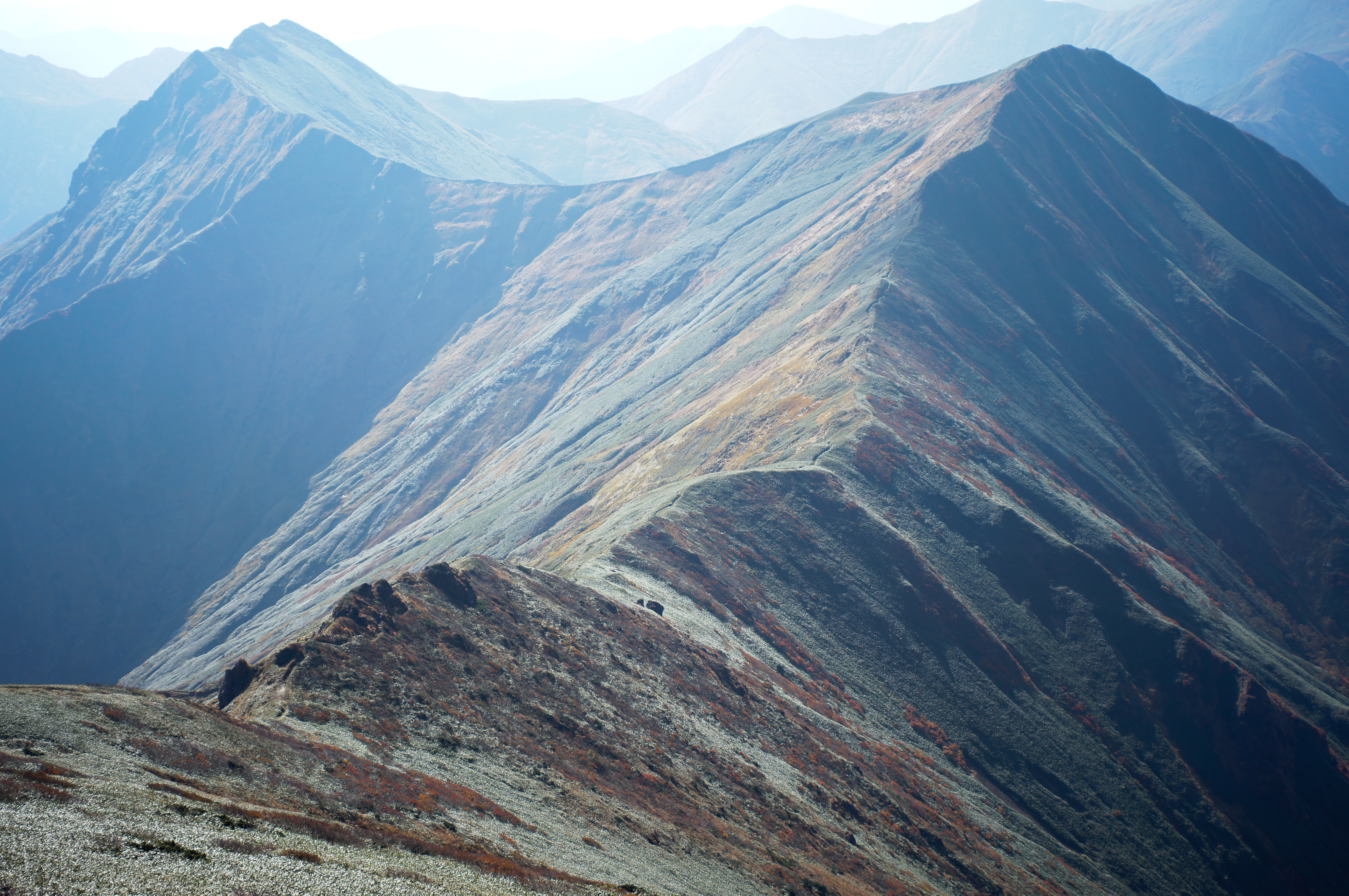
Mountain ASAHI-DAKE
sky trek #3
Tanigawa205_HDR Mt.Mantarouyama(1,954m)
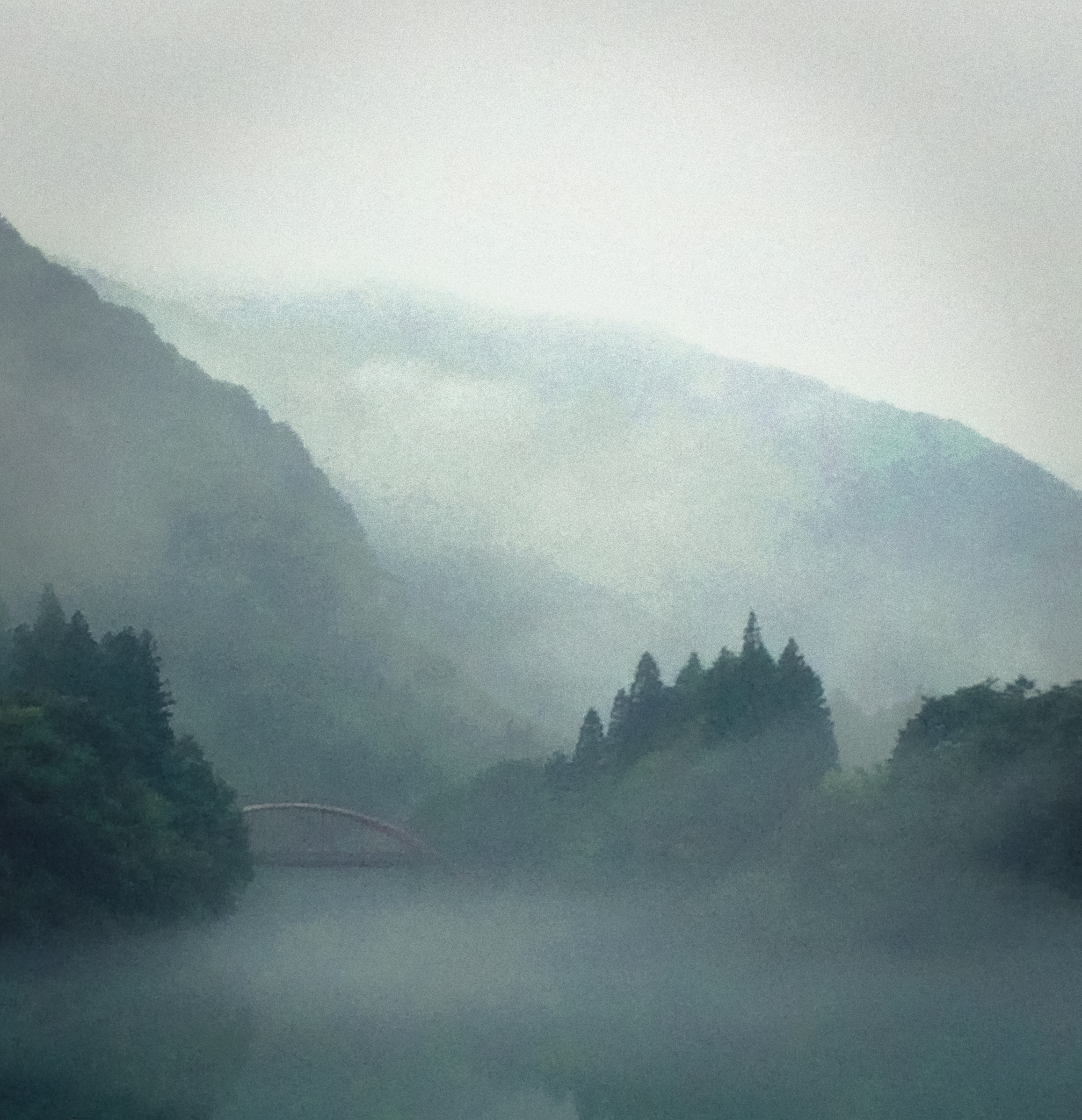
MIST2014-09-25 07.28
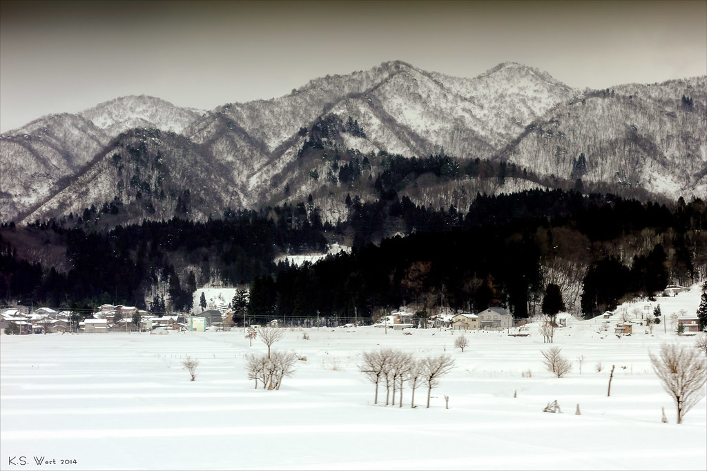
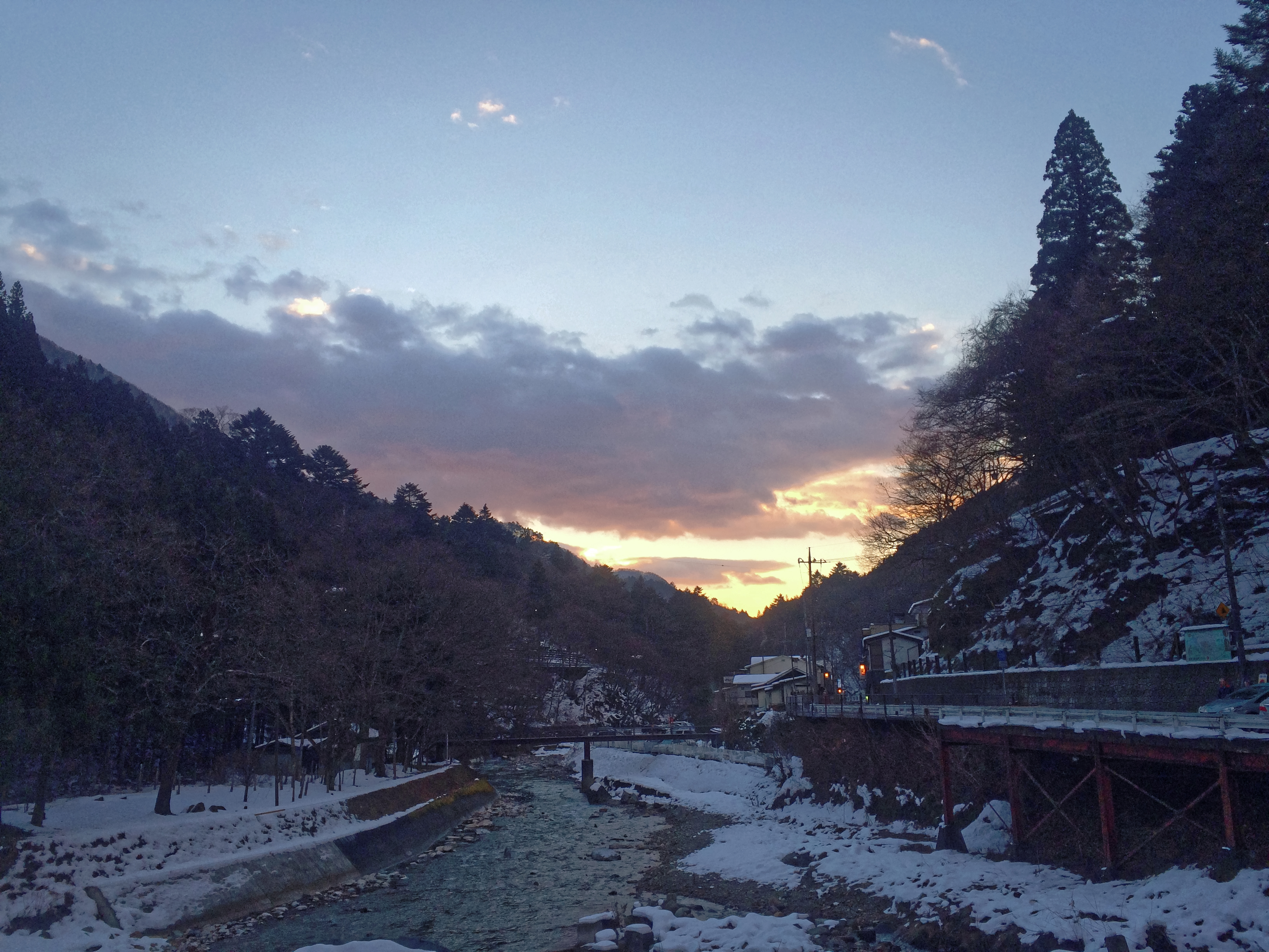
Snow-Covered Village, Japanese Alps, 2014
四万温泉 秋2014-10-28 07.50
Morning 2014 of the last day of the year. 2014-12-31 07.14
Morning2014年10月10日
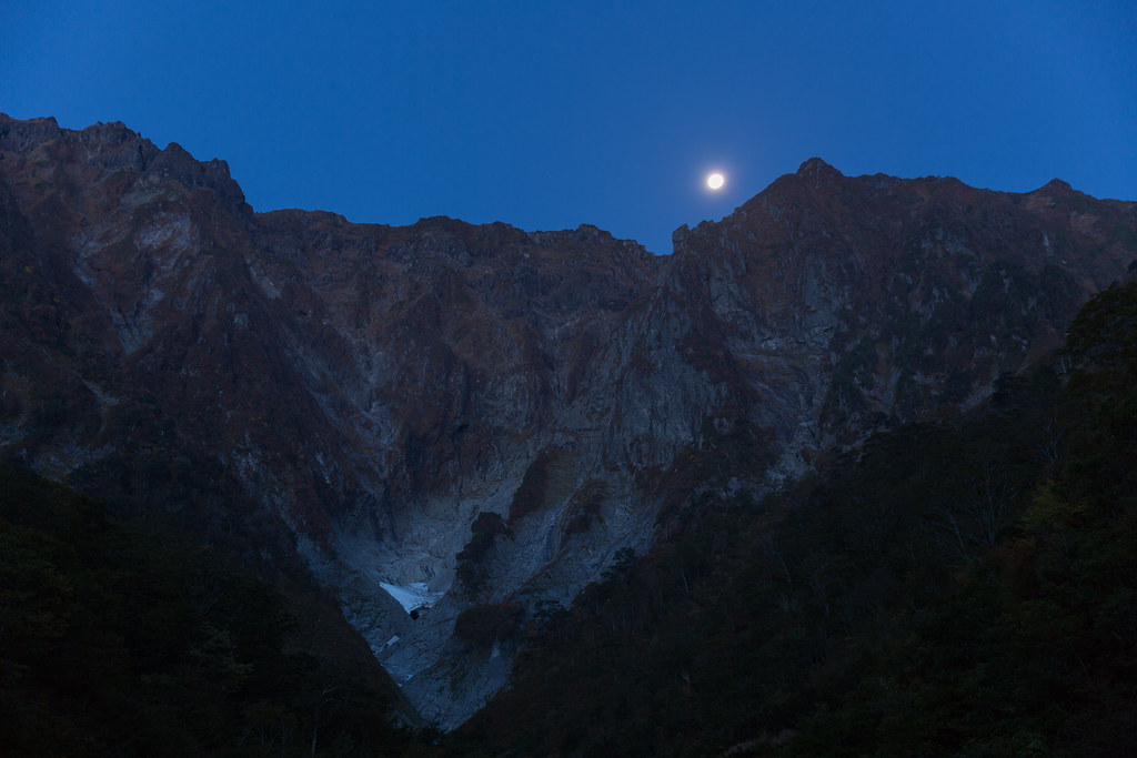
Ichinokurasawa and Moon (9K2A6674_LR)
四万温泉の天気2014-08-12 07.51

四万温泉 2014/08/10 8:36
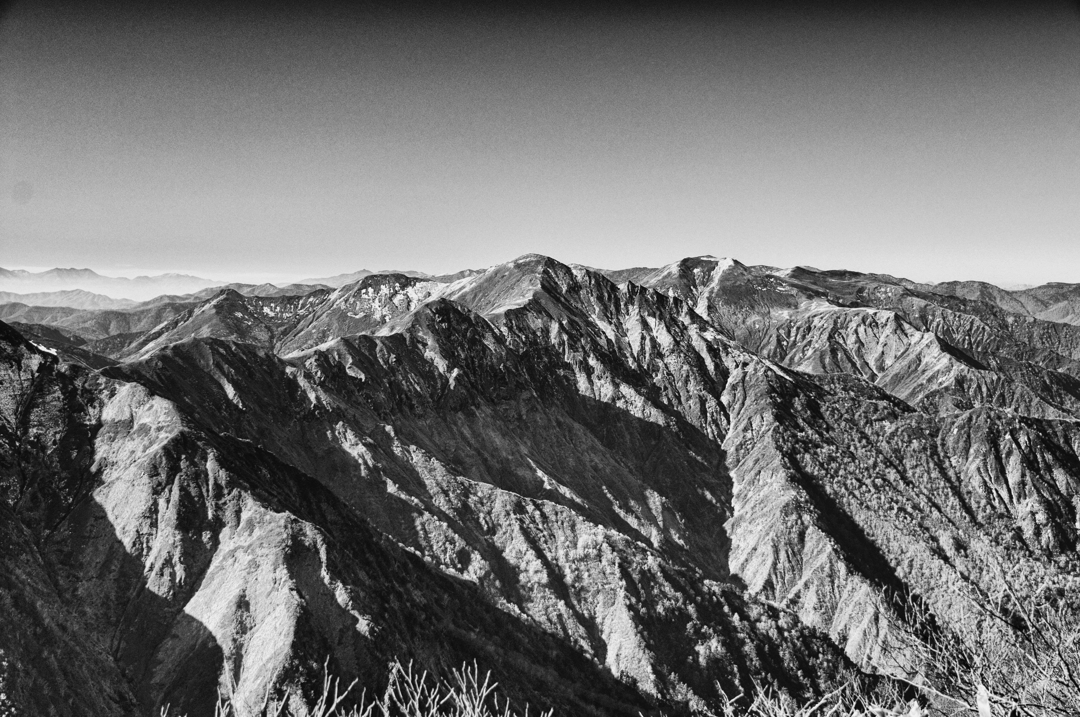
October_Tanigawadake - 31
Trip to Gunma

上発知のしだれ桜
四万ブルー2014-07-15 07.23

Japanese Stonehenge
Coloring2014-10-13 08.08
Ichinokurasawa, Taniawadake / 谷川岳 一ノ倉沢 (DSC_1634_LR)
Topographic Map of Aimata, Minakami-machi, Tone-gun, Gunma-ken -, Japan
Find elevation by address:

Places near Aimata, Minakami-machi, Tone-gun, Gunma-ken -, Japan:
379-1315
Kamizu
Minakami Station
Minakami
Takayama
Nakayama, Takayama-mura, Agatsuma-gun, Gunma-ken -, Japan
Mount Tanigawa
220 Yubiso
Icamp Japan
220-4 Yubiso
Naeba Ski Resort
Gotanda, Nakanojō-machi, Agatsuma-gun, Gunma-ken -, Japan
Nakanojo
-3 Yanagimachi, Numata-shi, Gunma-ken -, Japan
Numata
Higashiagatsuma
Mikuni, Yuzawa-machi, Minamiuonuma-gun, Niigata-ken -, Japan
Numasumachi, Numata-shi, Gunma-ken -, Japan
Minamiuonuma District
Agatsuma District
Recent Searches:
- Elevation of Corso Fratelli Cairoli, 35, Macerata MC, Italy
- Elevation of Tallevast Rd, Sarasota, FL, USA
- Elevation of 4th St E, Sonoma, CA, USA
- Elevation of Black Hollow Rd, Pennsdale, PA, USA
- Elevation of Oakland Ave, Williamsport, PA, USA
- Elevation of Pedrógão Grande, Portugal
- Elevation of Klee Dr, Martinsburg, WV, USA
- Elevation of Via Roma, Pieranica CR, Italy
- Elevation of Tavkvetili Mountain, Georgia
- Elevation of Hartfords Bluff Cir, Mt Pleasant, SC, USA